Hiking Trails in Kern County, California
Kern County is the largest county in Southern California by area, and it holds the highest concentration of wilderness anywhere south of Yosemite: river canyon trails, granite dome wilderness, a working fire lookout, and Mojave Desert badlands all inside one county line most people know only as a drive-through on the way to LA or Tahoe. Almost none of it shows up in a typical California road trip, which keeps it genuinely uncrowded compared to the Sierra trails further north. Exploring the premier Hiking Trails in Kern County reveals an unexpected, rugged side of California that remains a true hidden gem.
Disclosure: Please note that some of the links below are affiliate links and at no additional cost to you, I may earn a commission. Know that I only recommend hiking gear I personally stand behind; when you use my affiliate links, it helps me run this blog and keep all of this content free of charge for readers (like you).
Key takeaways
- Kern County holds four distinct hiking zones: the Southern Sierra and Sequoia National Forest, Dome Land Wilderness, the Tehachapi Mountains, and the Mojave Desert transition zone; most visitors only know it as a highway pass-through.
- The Kern River corridor around Kernville and Lake Isabella offers the county’s most popular hiking, including free access to Miracle Hot Springs alongside the river trail.
- Dome Land Wilderness spans nearly 94,700 acres of granite dome formations with no quota permit system; day hikers self-issue at the trailhead.
- Breckenridge Mountain’s fire lookout is still staffed in summer, one of the more distinctive destinations in the county for hikers who want a working piece of fire-watch history at the summit.
- Red Rock Canyon State Park delivers dramatic red-and-white volcanic cliff formations for free, a genuinely underrated desert hiking destination in the Mojave transition zone.
- Wind Wolves Preserve, managed by The Wildlands Conservancy, offers both short self-guided trails and deeper backcountry access via a weekend shuttle bus.
Related
- Lake Isabella Hiking & Outdoor Guide: Trails, Swimming & Camping
- 5 Best Hiking Trails in the Southern Sierra, Kern County
- 5 Best Desert Hiking Trails in Kern County
Why Kern County offers California’s most underappreciated wilderness hiking
Kern County is the largest county in Southern California by area, and its Southern Sierra Nevada holds the highest density of wilderness areas anywhere south of the Yosemite region; Sequoia National Forest’s Kern River Ranger District, Dome Land Wilderness, Bright Star Wilderness, the Tehachapi Mountains, and the Mojave Desert transition zone all sit inside one county. That combination of scale and variety is rare even by California standards. On the county’s western edge, the Carrizo Plain area bridges into San Luis Obispo, worth combining if you’re already out this way.
Kern County’s four hiking zones
The Southern Sierra and Sequoia National Forest zone covers the Kern River corridor, Cannell Meadow, and Breckenridge Mountain, the closest thing the county has to a classic alpine hiking experience. Dome Land Wilderness adds the Kern Plateau’s distinctive granite dome formations and South Fork Kern River access, a genuinely remote zone even by Sierra standards.
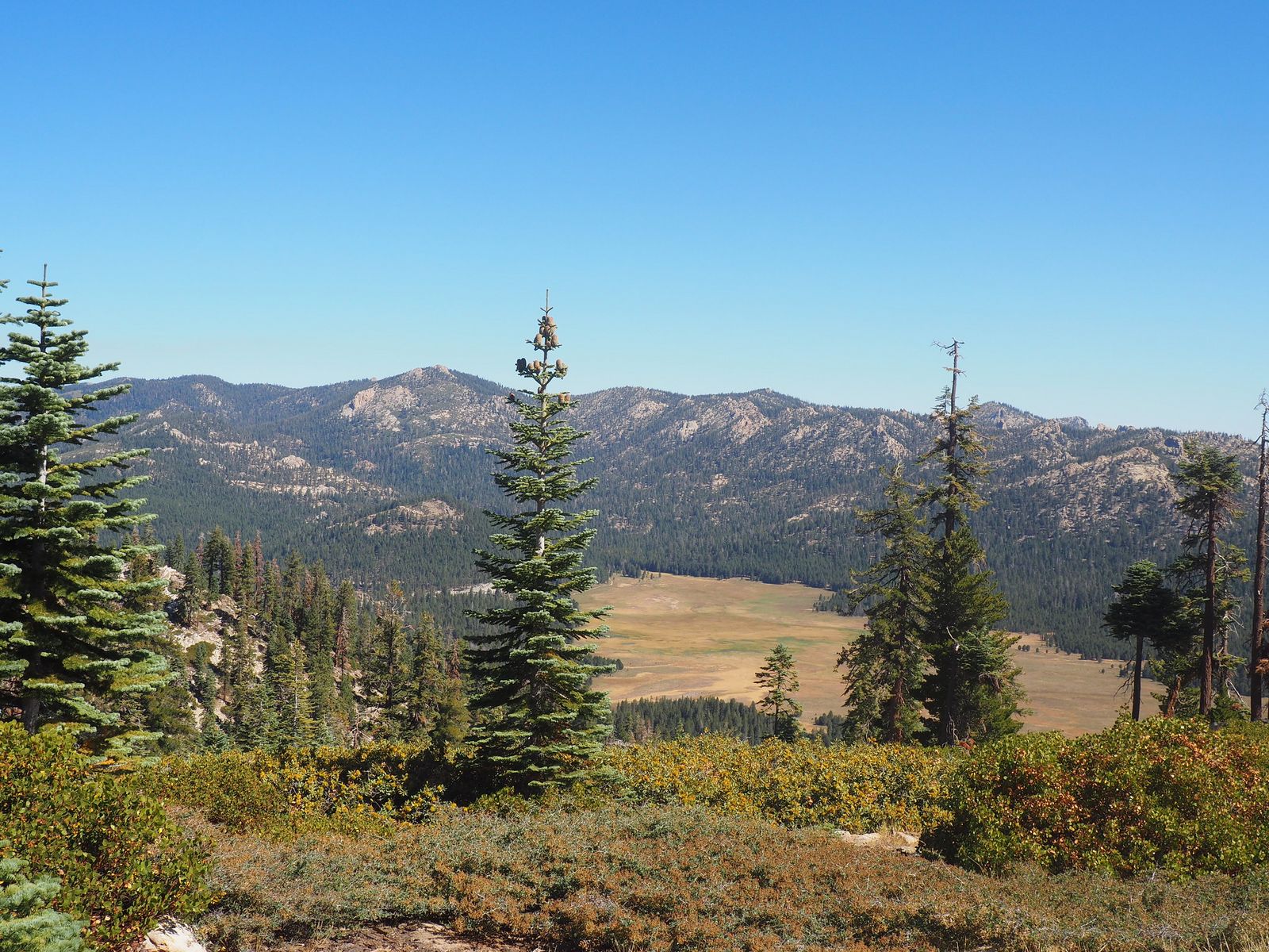
The Tehachapi Mountains hold Wind Wolves Preserve and Tehachapi Mountain Park, a lower-elevation transition zone between the mountains and the Central Valley. The Mojave Desert transition zone rounds out the county with Red Rock Canyon State Park’s dramatic badlands terrain, proving Kern County isn’t just a mountain destination.
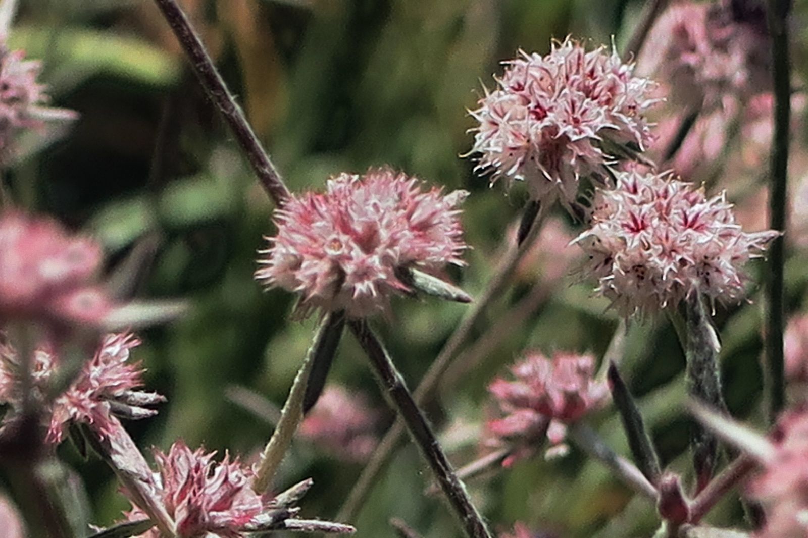
Best hiking trails along the Kern River, Kern County
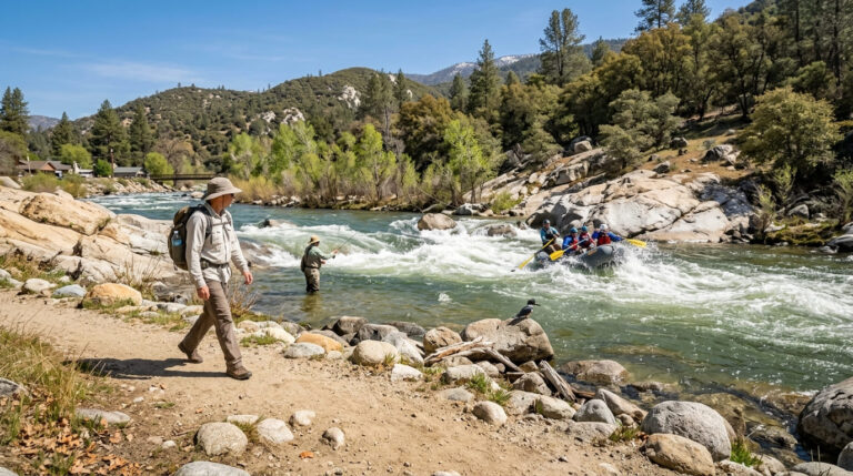
The Kern River corridor around Kernville and Lake Isabella carries genuine Class IV–V whitewater in sections, but the hiking trails that parallel it stay well clear of the rapids themselves, offering river scenery without the risk of the whitewater sections further upstream.
Kern River National Recreation Trail: Kern County’s best river canyon hike
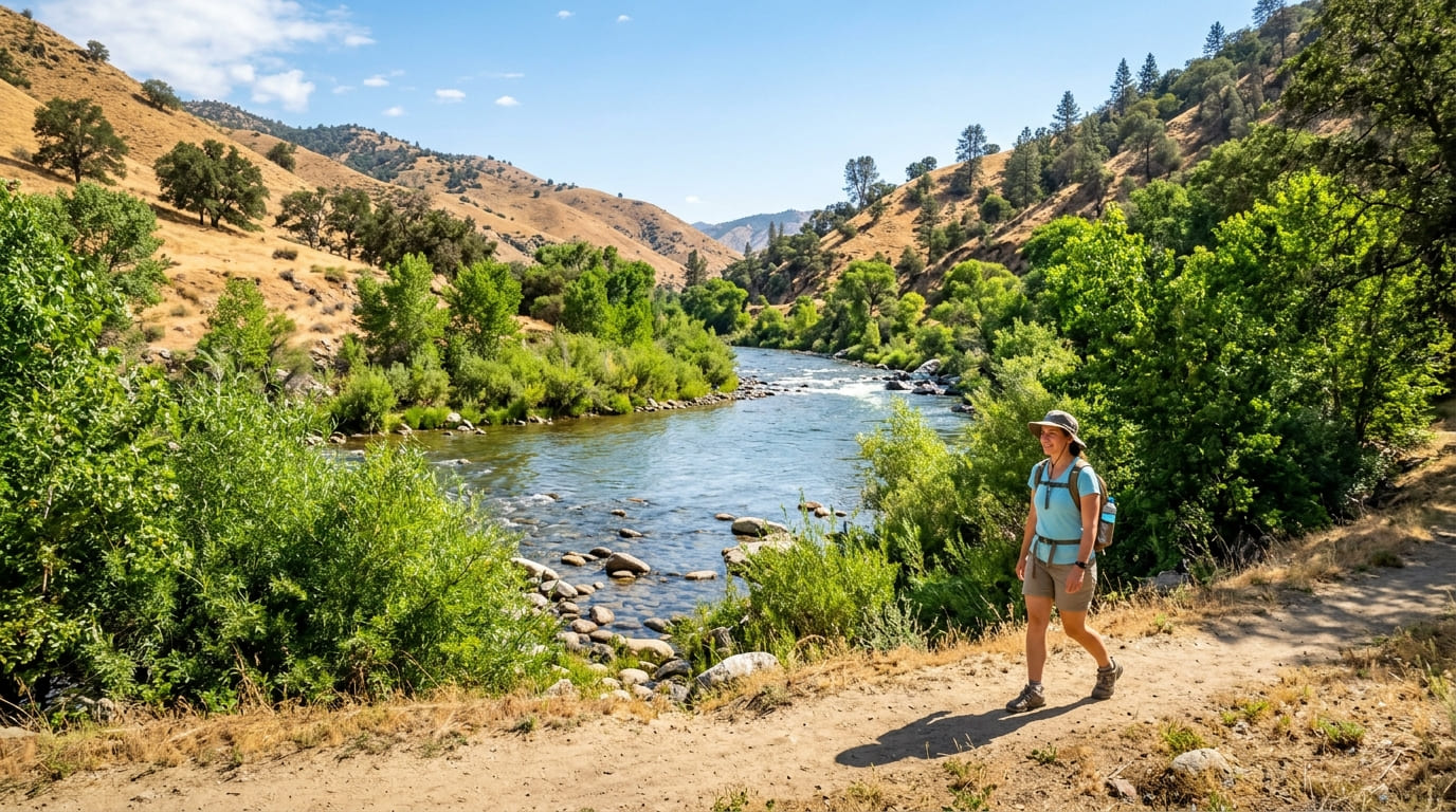
A 6-mile one-way trail from Lake Isabella’s south shore to Miracle Hot Springs, flat and riverside through cottonwood and willow riparian habitat that stays genuinely green even as the surrounding hillsides turn brown in summer.
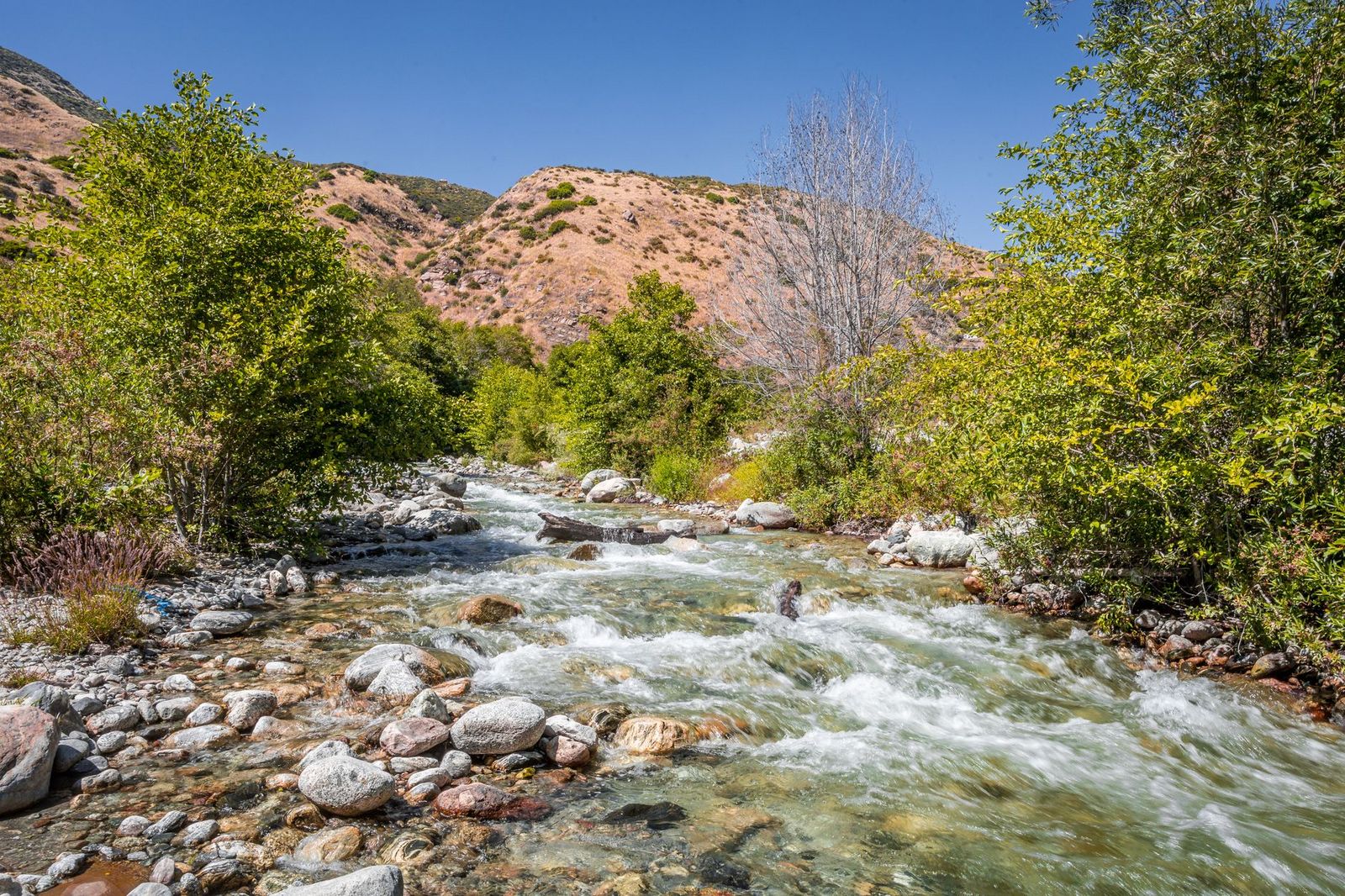
The hot spring pool at the end is naturally heated and free to use, on BLM land with no permit required. Best October through April, since summer brings both real heat and increased rattlesnake activity to the lower canyon, the flat, exposed terrain offers little shade during the hottest months.
Whiskey Flat Trail: Kern River’s best boulder-hopping canyon hike
A 3-mile round trip north of Kernville through the Kern River gorge, involving genuine granite boulder scrambling and cold, crystal-clear river swimming spots that feel a world apart from the flatter trail downstream. It sits on Sequoia National Forest land, so an Adventure Pass is required.
Best in spring through early summer for good water flow; avoid the trail during high water season, when the river’s current runs genuinely dangerous alongside the trail, especially near the swimming holes where footing gets slick.
Best hiking trails in Dome Land Wilderness, Kern County
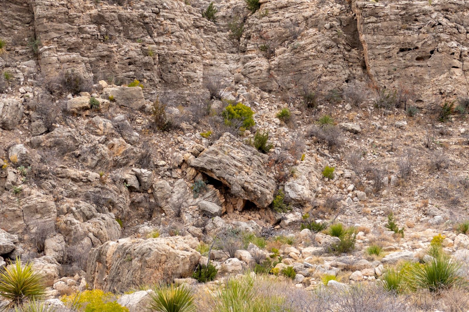
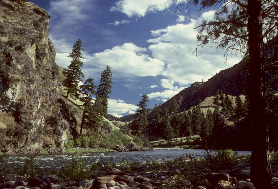
Dome Land Wilderness covers nearly 94,700 acres of the Kern Plateau, named for its distinctive granite dome formations, Dome Land, Church Dome, and White Dome among them, along the South Fork Kern River and a stretch of the Pacific Crest Trail. This is genuinely remote terrain, with far fewer visitors than comparable wilderness areas further north in the Sierra.
Church Dome Trail: Dome Land Wilderness’s most spectacular granite summit
A 6-mile round trip from the South Fork Kern River trailhead (a rough, high-clearance-only access road) with about 1,800 ft of gain to a 9,000-ft dome summit, delivering a genuine 360-degree Southern Sierra panorama that rivals views from much longer, better-known Sierra summits. The final approach involves a Class 2 scramble over exposed granite.
No permit is needed for a day hike; Dome Land Wilderness uses self-issue permits at the trailhead rather than a quota system, and the access road is really only passable June through October, since snowmelt and washouts can make it impassable outside that window.
Best hiking trails in Sequoia National Forest, Kern County
The Kern River Ranger District of Sequoia National Forest adds fire-lookout history, backcountry hot springs, and Pacific Crest Trail access to the county’s Sierra terrain, a broader, more developed trail network than Dome Land Wilderness’s rougher backcountry.
Breckenridge Mountain Trail: Kern County’s best fire lookout summit hike
A 10-mile round trip with about 2,000 ft of gain to an 8,266-ft summit, home to a historic fire lookout that’s still staffed in summer by seasonal fire crews, a genuinely rare chance to see a working lookout tower rather than an abandoned one, and lookout staff will often chat with hikers who make the climb.
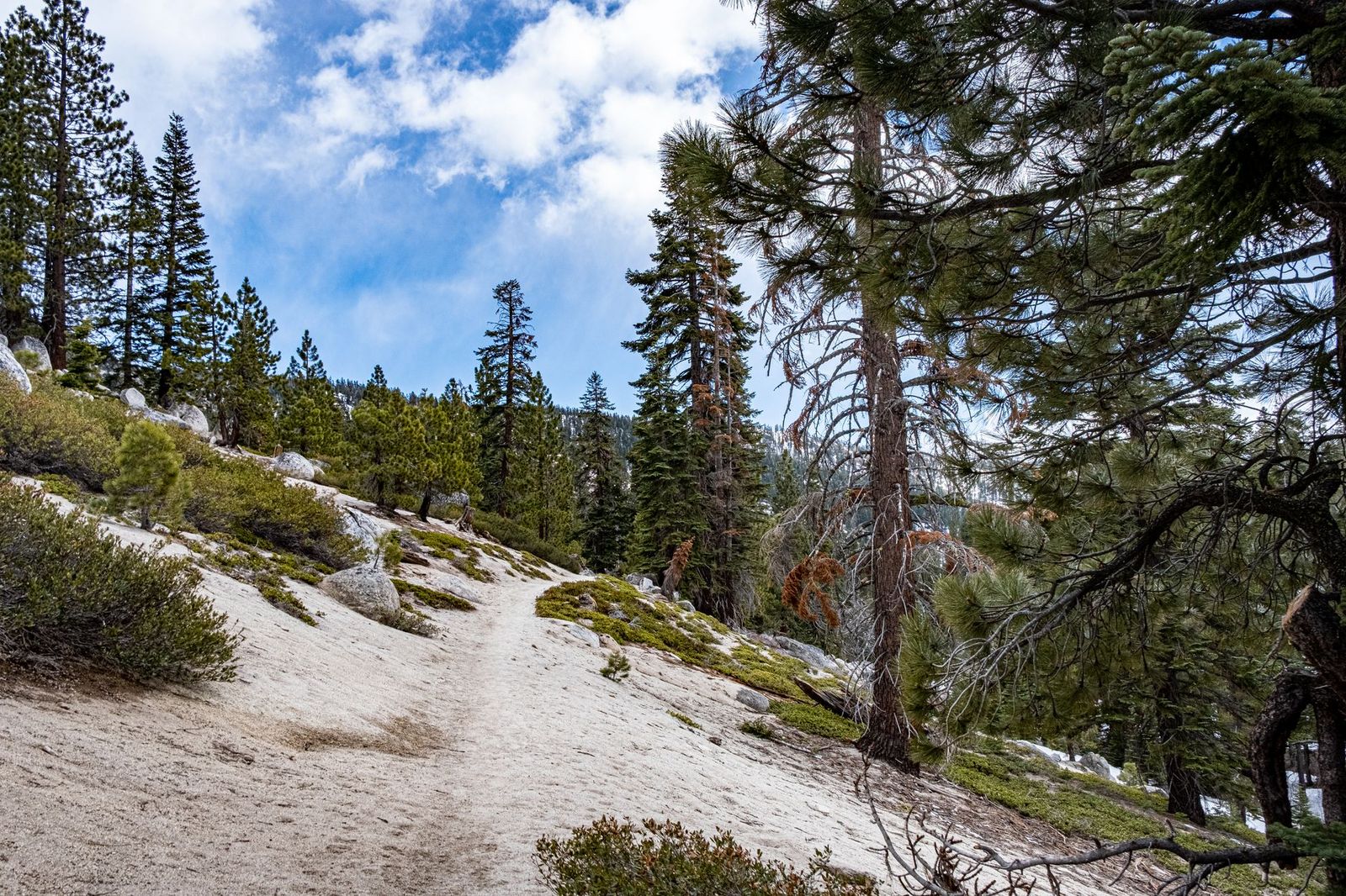
Views stretch from the San Joaquin Valley to the Sierra crest, a dramatic contrast between farmland and mountains in a single panorama. An Adventure Pass is required, and the trail is typically open May through November depending on snow.
Best desert and transition zone hiking in Kern County
Red Rock Canyon State Park trails: Kern County’s most photogenic desert hike
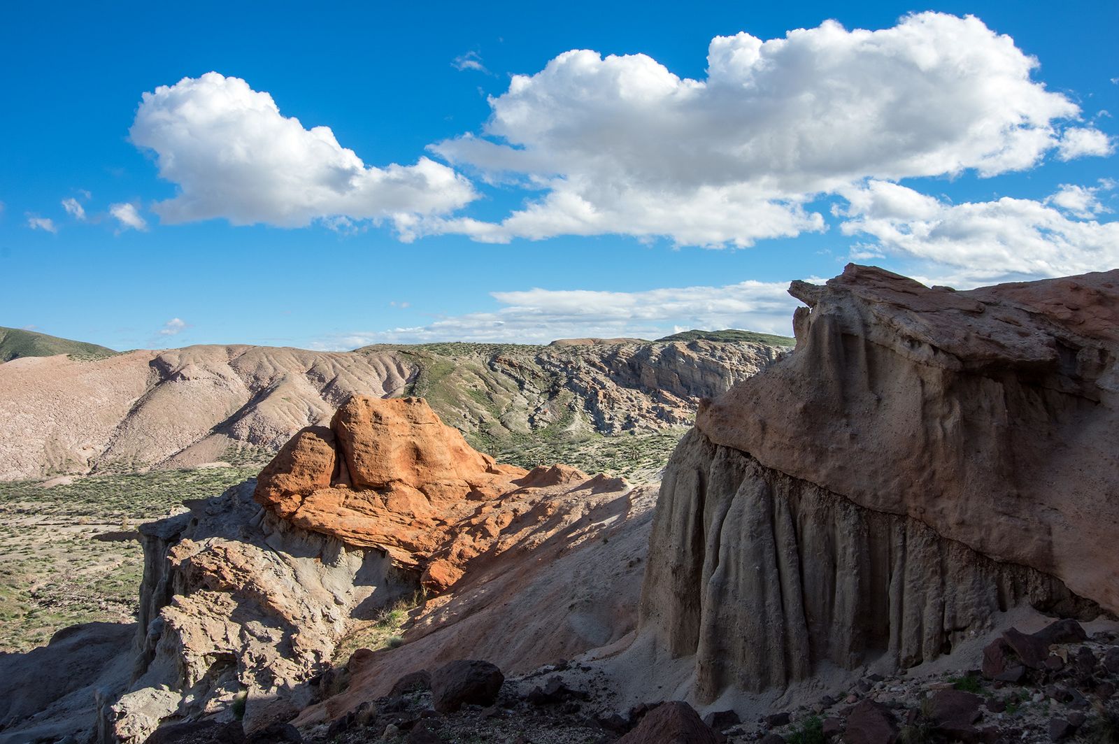
Red Rock Canyon State Park protects dramatic red, white, and pink volcanic cliff formations in the Mojave Desert near the town of Mojave, a landscape that looks more like the American Southwest than anywhere else in Kern County. That same Mojave transition zone continues east into the hiking trails in San Bernardino County.
The Ricardo Canyon trails run about 2 miles through painted canyon walls, and the Hagen Canyon Natural Preserve to the north offers a 1-mile interpretive trail through even more dramatic rock formations. It’s free day-use, best visited October through April to avoid the worst desert heat, since the exposed canyon walls offer essentially no shade at any time of day.
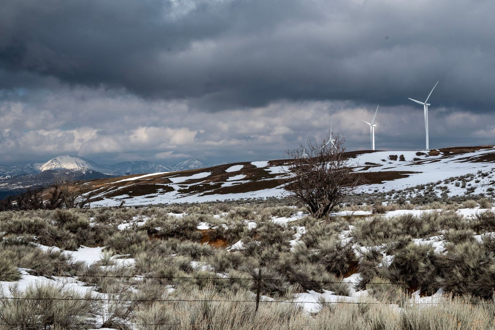
Wind Wolves Preserve, managed by The Wildlands Conservancy rather than a state or federal agency, protects roughly 93,000 acres in the Tehachapi Mountains, one of the largest privately protected nature preserves on the West Coast.
Short self-guided loop trails (the Wildflower Loop and Redtail Trail) are open during normal visiting hours, while a weekend shuttle bus carries hikers deeper into the preserve to the historic El Camino Viejo Trail for those who want a longer backcountry outing.
Spring wildflower displays here are genuinely spectacular in good rain years, drawing visitors who’d otherwise never think to stop in this part of the county.
Kern County rewards the kind of visitor willing to look past its reputation as a drive-through; river canyon trails, granite dome wilderness, and desert badlands all sit inside a single county line most people never stop to explore.
Watch for rattlesnakes and real summer heat across the lower-elevation trails, and check current road conditions before attempting anything requiring the rougher access roads into Dome Land Wilderness, since a passable road one month can wash out or drift with snow the next.
Frequently asked questions about hiking trails in Kern County
What are the best hiking trails in Kern County, California?
The Kern River National Recreation Trail for river canyon scenery and a natural hot spring at the end, Church Dome for the county’s most dramatic granite summit, and Red Rock Canyon State Park for a genuinely underrated desert hike. Each represents one of the county’s four distinct hiking zones.
Are there hiking trails along the Kern River near Kernville?
Yes, the Kern River National Recreation Trail and the Whiskey Flat Trail both parallel the river near Kernville, offering everything from flat riverside walking to genuine boulder scrambling and river swimming.
Is there a hiking trail to the Miracle Hot Springs near Lake Isabella?
Yes, the Kern River National Recreation Trail runs 6 miles one-way from Lake Isabella’s south shore directly to Miracle Hot Springs, a free, naturally heated pool at the trail’s end that requires no facilities fee or reservation.
What hiking trails are accessible from Bakersfield in Kern County?
Wind Wolves Preserve and Tehachapi Mountain Park are both within a reasonable drive of Bakersfield, while the Kern River corridor and Sequoia National Forest trails require a longer drive northeast toward Kernville and Lake Isabella.
Is Red Rock Canyon State Park near Mojave good for hiking?
Yes, it’s a genuinely underrated desert destination, with dramatic red and white volcanic cliff formations across the Ricardo Canyon and Hagen Canyon trail areas, both free to visit and open year-round.
Do I need a permit to hike in Dome Land Wilderness in Kern County?
No formal quota permit is required for day hiking. Dome Land Wilderness uses a self-issue permit system at the trailhead rather than a competitive reservation, unlike some other California wilderness areas that require booking.