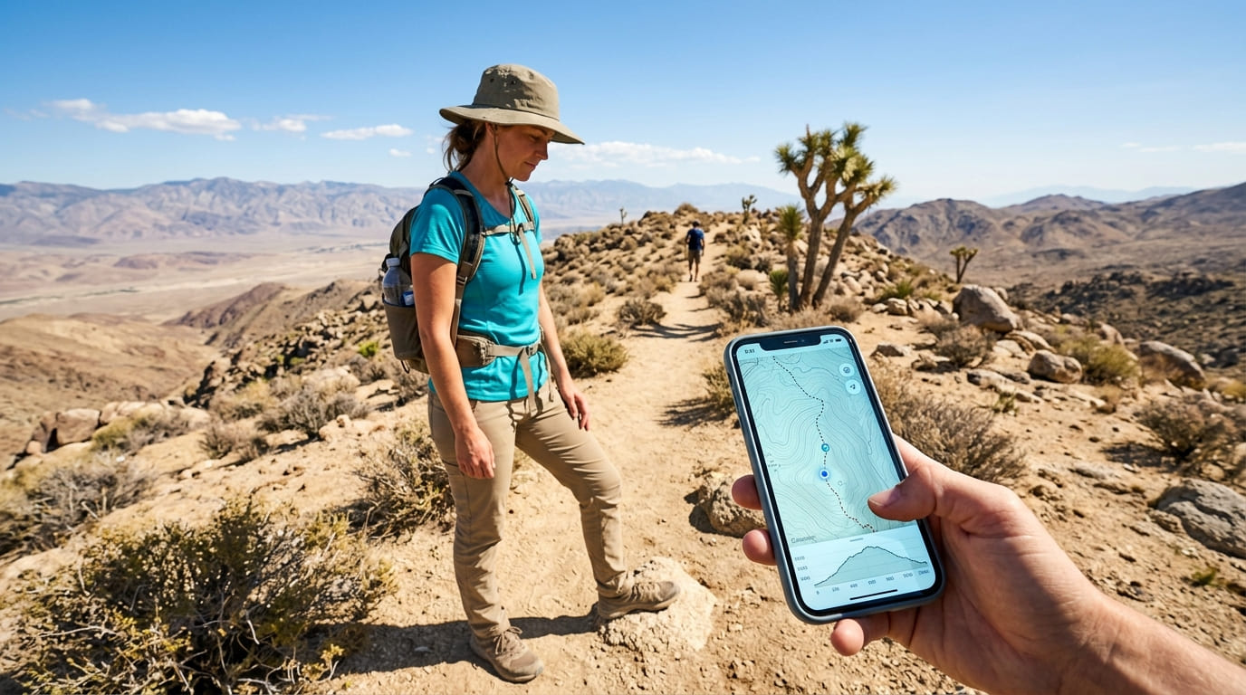
AllTrails vs. Gaia GPS vs. Komoot: Best California Hiking App
If you’re deciding between AllTrails, Gaia GPS, and Komoot for the best hiking trail app in California, AllTrails wins for casual day hikes and trail research, Gaia GPS wins the moment you’re off-grid on a wilderness-permit trail, and Komoot wins if you’d rather draw your own route than pick one off a list. I’ve run all three side by side on trails from Joshua Tree’s washes to the granite basins above Desolation Wilderness, and none of them is the single right answer for every trail in this state. Match the app to the terrain, not to whichever one has the loudest marketing.
Disclosure: Please note that some of the links below are affiliate links and at no additional cost to you, I may earn a commission. Know that I only recommend hiking gear I personally stand behind; when you use my affiliate links, it helps me run this blog and keep all of this content free of charge for readers (like you).
Key takeaways:
- Best overall for most California hikers: AllTrails, a database of 500,000+ user-submitted trails, means you’ll rarely find somewhere it hasn’t mapped, whether you’re working through our San Diego guide covering every skill level or hunting down a weekend summit push.
- Best for backcountry and wilderness-permit trails: Gaia GPS, its topo layering and true offline downloads hold up once places like the Desolation Wilderness or the Ansel Adams Wilderness pull you out of cell range.
- Best for building your own route: Komoot. Instead of choosing from existing trails, you draw the line, and it routes you along it, which matters for point-to-point or car-shuttle hikes the other two don’t handle as well.
- Best value if you hike occasionally: Komoot’s one-time map packs. Pay once, own the map forever, no renewal notice landing in your inbox every June.
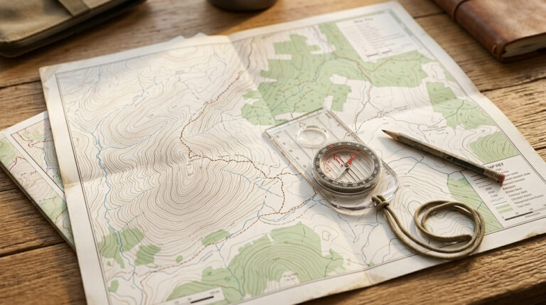
- Never trust one app completely in permit country: batteries die, GPS drifts near canyon walls, and a paper map costs nothing to carry as backup once you’re a real distance from the trailhead.
| App | Best for | Starting price | True offline maps | My CA pick |
|---|---|---|---|---|
| AllTrails | Casual day hikes, trail research, reviews | Free / $35.99 per year (Plus) | Plus tier and up | Everyday trailhead app |
| Gaia GPS | Backcountry, wilderness-permit navigation | Free / ~$59.99 per year (Premium) | Premium tier and up | Desolation Wilderness, Ansel Adams Wilderness |
| Komoot | Custom, point-to-point route building | Free (1 region) / $3.99 per region, one-time | Included with any paid map | Self-planned routes off the beaten path |
AllTrails
AllTrails is the app most California hikers already have installed, and there’s a reason “all trails hiking app” is one of the highest-volume searches tied to hiking gear anywhere in the country. It’s not the most technical of the three. It’s the most useful for the trail you’re hiking this weekend.
Key features for California hikers
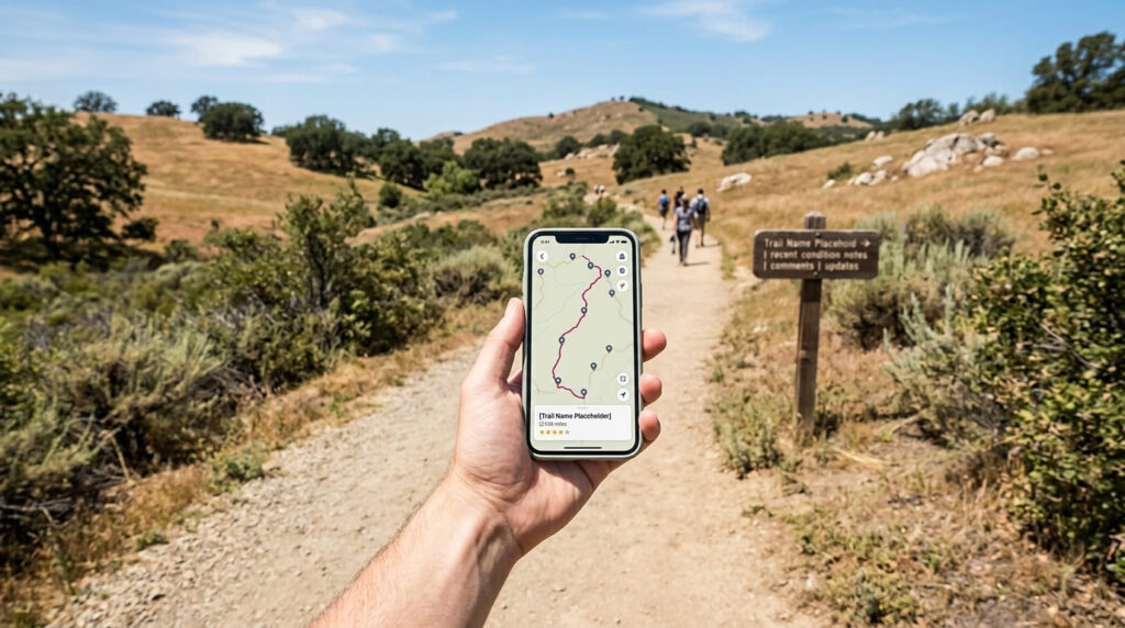
The core of AllTrails is its trail database: 500,000+ user-submitted routes worldwide, most with recent photos, condition notes, and a review from someone who hiked it in the last few weeks, not a description written once and forgotten.
That crowdsourced layer is what makes it different from a static topo map. Someone flags a washed-out creek crossing or a closed trailhead gate, and you see it before you drive out there.
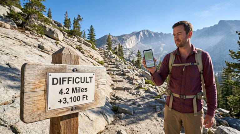
Every trail listing includes a difficulty rating, and I’d treat it as a starting point, not gospel. AllTrails calculates difficulty from distance, elevation gain, and average grade, which lands close to, but isn’t identical to, how California trails get their difficulty rating under the systems land agencies use.
I’ve seen AllTrails call a trail “moderate” that the National Park Service would flag as strenuous, purely because of exposure the algorithm doesn’t weigh. For the full breakdown of where these systems diverge, see my separate comparison of AllTrails’ difficulty rating against the National Park Service’s own system.
Trail conditions get reported in near real time: temperature, precipitation, snow depth, air quality, even mosquito activity in the right season. There’s a wrong-turn alert that buzzes your phone if you drift off the mapped route, and a 3D preview that lets you scroll through a trail’s elevation profile before you’ve laced up a boot.
Free vs. Plus: is AllTrails+ worth it?
The free Base tier covers casual, near-home hikes with normal cell service just fine; you get the full trail database, reviews, and route previews. What you don’t get is offline maps, and that’s the one limitation that matters.
AllTrails+ runs $35.99 a year (about $2.99 a month) and unlocks offline map downloads, wrong-turn alerts, ad-free browsing, and 3D trail previews. For most day hikers in California, this is the tier that’s worth paying for, not because the free version is bad, but because losing signal on a coastal bluff or a canyon trail is common enough here that offline maps stop being a luxury.
As of 2026, there’s a third tier called AllTrails Peak, at $79.99 a year. It adds custom route building from scratch, more detailed real-time trail-condition forecasts, community heatmaps showing where other hikers are walking, and a camera-based plant and insect identifier called Outdoor Lens.
Skip Peak unless you’re building custom routes regularly or you’re the kind of hiker who wants to know what’s blooming next to the trail. Plus covers what 90% of California day hikers need.
Gaia GPS
Gaia GPS trades AllTrails’ social, crowdsourced feel for something closer to a digital topo map you can trust when there’s no trail, because sometimes there isn’t one.
Key features for backcountry navigation
Where AllTrails leans on user reviews, Gaia GPS leans on map layers. The free Gaia Topo layer is solid on its own, but Premium unlocks dozens of additional layers: USGS topo, satellite imagery, current and forecasted wildfire perimeters, air quality, slope-angle shading for avoiding avalanche terrain, and public/private land boundaries that matter the moment you’re navigating near a wilderness boundary line rather than a well-marked park trail.
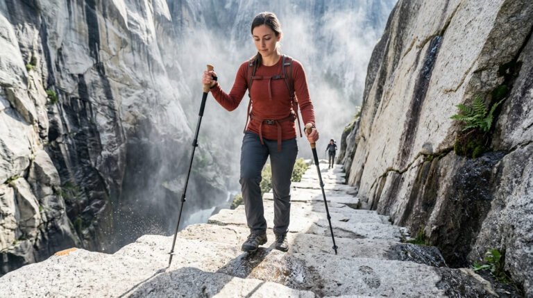
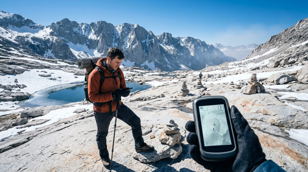
This is the app I reach for in the Desolation Wilderness or the Ansel Adams Wilderness, where the trail itself sometimes disappears into granite slabs, and cairns do most of the talking.
It’s also the better call around the Stanislaus National Forest, including the Emigrant Wilderness corridor, and along the Mount Whitney corridor, where elevation and exposure make a wrong turn expensive rather than just annoying. Gaia GPS is owned by Outside Inc., the same company behind Backpacker and Outside magazine, which explains why its map layers lean toward serious backcountry planning rather than casual trail discovery.
Free vs. Premium: is Gaia GPS Premium worth it?
The free tier lets you view the base Gaia Topo layer, plan routes, and record a track, but you can’t download anything for offline use, which defeats the purpose of a backcountry app the second you lose signal.
Gaia GPS Premium runs roughly $59.99 a year and unlocks offline map downloads across the full layer catalog, plus wildfire and air-quality overlays that matter a lot during a California summer. Premium with Outside+ runs closer to $89.99 a year and bundles in Backpacker and Outside’s editorial content, National Park Trips guides, and Trailforks Pro for anyone who also mountain bikes.
My rule: if you’re hiking anywhere that requires a wilderness permit, skip the free tier entirely. Offline capability is the whole reason to run this app instead of AllTrails, and the free version doesn’t offer it. Book the permit itself through Recreation.gov; no app replaces that step.
Komoot
Komoot solves a different problem than the other two. AllTrails and Gaia GPS both work from a library of trails someone already mapped. Komoot lets you build the route yourself.
Key features for route planning
Instead of browsing a list of existing trails near you, Komoot’s planner lets you tap a start point, an end point, and any waypoints in between, then generates turn-by-turn navigation along that custom line, ideal for point-to-point hikes. With a car shuttle, or for stringing together trail segments that don’t exist as a single named route in AllTrails’ or Gaia’s databases.
Along the way, you get surface-type and waytype detail (pavement, singletrack, gravel), Trail View photos from other users at specific points on the route, and full voice navigation.
It’s a different mental model from “pick a trail off a list,” and it takes a few tries to click. Once it does, it’s the app I use for routes I’m inventing myself rather than following.
Free vs. paid: regional packs, the World Pack, and Komoot Premium
Every new account gets one region unlocked for free, enough to test the planning experience before paying anything. Past that, Komoot’s original model is a one-time map purchase, not a subscription: a Single Region runs $3.99, a Region Bundle covering several adjoining areas runs $8.99, and the World Pack, every region on the planet, forever, runs $29.99 as a single payment. No renewal, no recurring charge.
As of 2026, Komoot also offers a separate Komoot Premium subscription at roughly $59.99 a year, layered on top of the map-pack system rather than replacing it. Premium adds device sync to Garmin, Wahoo, and similar GPS units along with some extra planning tools. If you’re still deciding whether a free map is enough for your trip, our guide on free vs. paid trail maps in California breaks down where the free tier stops being enough.
If you mostly follow existing California trails, you don’t need Komoot’s paid tiers at all; AllTrails or Gaia GPS covers that better. Buy the World Pack once you start building your own routes regularly, and skip Premium unless you’re syncing to a dedicated GPS watch.
Which hiking app should you choose?
If you only take one thing from this comparison: match the app to the trail, not the trail to the app. A crowded, well-marked county park trail doesn’t need Gaia GPS’s topo layers any more than a backcountry wilderness route needs AllTrails’ review section.
And if you’re the type who plans a hike around a route you invented rather than one you found, Komoot is worth the download regardless of what else is on your phone.
Best for casual day hikers: AllTrails
For the majority of readers working through a single county guide or a Tier 8 destination guide on this site, AllTrails is the default recommendation. The trail database is enormous, the reviews are recent, and the free tier alone covers most near-home hikes with normal cell coverage.
Best for backcountry and off-grid navigation: Gaia GPS
For wilderness-permit trails, the Desolation Wilderness, the Ansel Adams Wilderness, and the high country around Mount Whitney, Gaia GPS’s offline map layering is the stronger call. AllTrails’ offline maps work fine for a single trail; Gaia GPS’s layered topo system holds up when you’re navigating cross-country between waypoints instead of following a marked path.
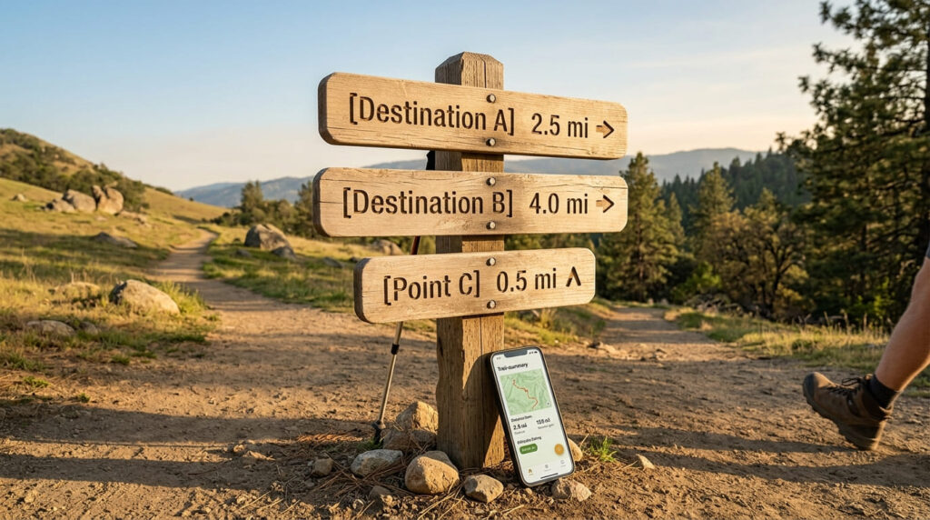
No California hiker needs all three running at once. What I’d tell a friend: install AllTrails first; it covers 90% of what you’ll hike this year. Add Gaia GPS the first time you book a wilderness permit. If you’re pairing your app setup with physical equipment, check out our hiking gift ideas for inspiration. Add Komoot once you want to build a route nobody’s mapped yet.
Frequently asked questions about the best hiking apps for California trails
Can I find hiking trails with Gaia GPS?
Yes, Gaia GPS includes its own trail layer and lets you search nearby routes, though its database leans smaller and more backcountry-focused than AllTrails’ crowdsourced library. For discovering a new trail near a city or popular trailhead, AllTrails is usually faster.
Do hiking apps work without cell service?
Only if you’ve downloaded the offline map ahead of time, and only on a paid tier for all three apps covered here. GPS positioning itself doesn’t need cell signal; it’s the map tiles and trail data that require either a download or a live connection.
Is AllTrails accurate for trail distances?
Generally, yes, though GPS drift near canyon walls or dense tree cover can shift a recorded distance by a few tenths of a mile. I treat AllTrails’ listed mileage as reliable for planning and double-check it against a park’s official trail guide for anything near a mileage-based cutoff, like a permit or a shuttle schedule.
Can you use these apps for wilderness permit trails?
Yes, for navigation, but none of them issue the permit itself. Book that separately through Recreation.gov or the managing agency, then use Gaia GPS or AllTrails’ offline maps for the actual on-trail navigation once you’re out there.
Do these apps drain phone battery quickly?
Active GPS tracking is one of the fastest ways to drain a phone battery on trail, regardless of which app you’re running. I keep my phone in airplane mode with GPS still active, screen brightness low, and carry a small power bank on anything past a half-day hike.
Should you bring a paper map as a backup to a hiking app?
Yes, especially on wilderness-permit trails or anywhere cell service is already unreliable. Phones die, screens crack, and GPS drift happens near canyon walls and dense tree cover. A paper map and a basic compass cost almost nothing and don’t need a battery.