The 5 Best Coastal Hiking Trails in Santa Cruz County
If my Redwood Trails guide covered the inland side of this county, this list is the coast: historic dairy ranch bluffs, a surf-culture landmark, a butterfly sanctuary, a hidden purple-sand beach, and a slowly disintegrating concrete shipwreck. Highlighting the premier Coastal Hiking Trails in Santa Cruz, this list contrasts directly with the inland forest; For the rest of the county, the Santa Cruz Mountains, Big Basin Redwoods, and easier beginner-friendly trails round out the picture. Start at the Santa Cruz County trail for the full lineup.
Disclosure: Please note that some of the links below are affiliate links and at no additional cost to you, I may earn a commission. Know that I only recommend hiking gear I personally stand behind; when you use my affiliate links, it helps me run this blog and keep all of this content free of charge for readers (like you).
Two of these five trails have real, current story updates worth reading carefully, one good, one that changes the whole pitch of that entry.
Key takeaways
- The best all-around coastal hike: Wilder Ranch’s Old Cove Landing Trail,flat bluffs, hidden coves, seal haul-outs, and a preserved 19th-century dairy ranch.
- Recently reopened after real storm damage: West Cliff Drive,closed for over two years, fully back open since 2025.
- The highest-search-volume specific trailhead in this whole county: Natural Bridges State Beach,home to a real sea arch (though not the original, larger one) and a monarch butterfly grove.
- The hidden one: Panther Beach,purple sand, a walk-in sea cave, and an easy-to-miss trailhead.
- The trail whose entire premise changed: Seacliff State Beach’s Cement Ship,the pier that once let you walk out to the wreck was demolished in 2023 and hasn’t been rebuilt.
- Every trail in this guide is tide-dependent to some degree. Check a tide table before any of these five, not just the beach-level ones.
Quick-glance comparison
| Trail | Distance (RT) | Elevation gain | Fee |
|---|---|---|---|
| Old Cove Landing Trail | 2.4 mi | Minimal | Day-use fee |
| West Cliff Drive | Up to 3 mi one-way | None | Free |
| Natural Bridges Loop | 0.6 mi | Minimal | Day-use fee |
| Panther Beach | Under 0.5 mi | Steep, short descent | Free |
| Seacliff Cement Ship view | Under 0.5 mi | None | Day-use fee |
Wilder Ranch State Park: Old Cove Landing Trail
This is the trail I’d call the single best all-around coastal hike in the county,flat, scenic, and genuinely rich with both history and wildlife.
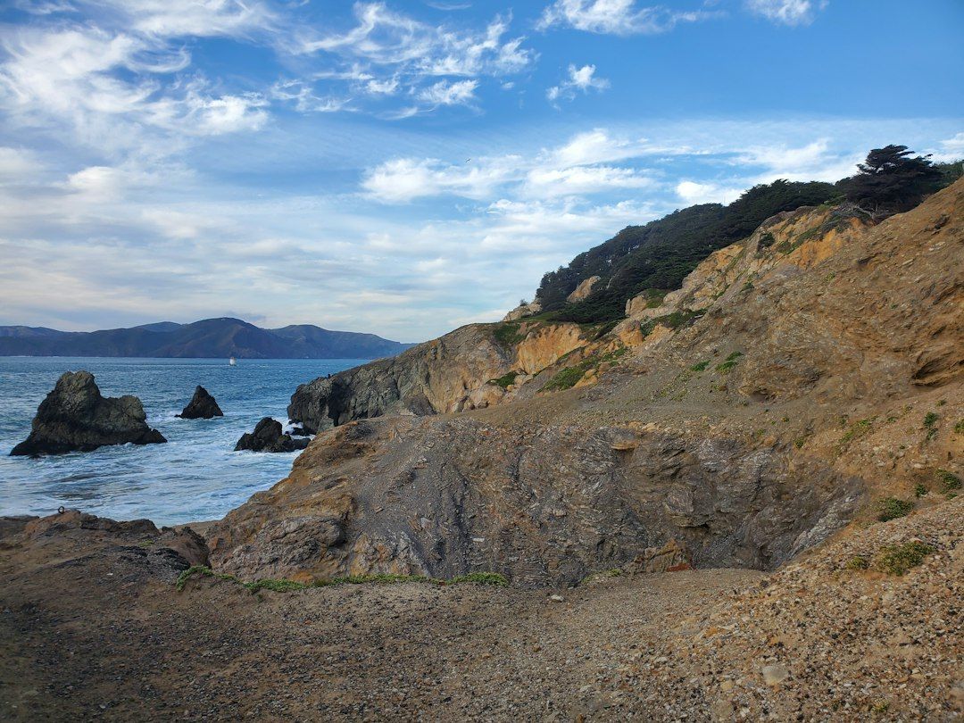
Trailhead access: the Wilder Ranch Visitor Center, day-use fee
Park at the Visitor Center off Highway 1, just north of Santa Cruz. A day-use fee applies at the kiosk; some visitors note free parking is available along the highway shoulder outside the park boundary if you don’t mind a short walk in.
Difficulty, distance, and elevation gain on the loop
It’s a flat 2.4-mile loop with minimal elevation gain,genuinely easy, though a much longer combined route through Wilder Ridge, Baldwin, and Ohlone Bluff trails extends to over 10 miles for hikers who want more.
What you’ll see: a preserved 19th-century dairy ranch and small sea arches
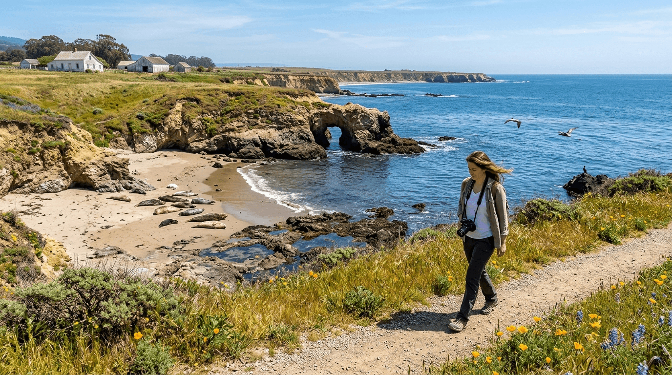
The Wilder family ran a working dairy farm on this land from the 1880s into the 1970s, and the preserved farm buildings, antique equipment, and grounds sit right at the trailhead. Along the bluffs, small natural sea arches carve into the coastline, and harbor seals with pups regularly haul out on beaches visible from above.
Birders in particular do well here,expect sparrows, turkey vultures, harriers, pelicans, whimbrels, and Brandt’s cormorants along a single loop, and California State Parks runs free docent-led birding walks at Wilder Ranch on select mornings each month.
Best time to hike Old Cove Landing Trail: low tide for the tide pools
Several small coves along the route expose tide pools at low tide,check a tide table before you go, since this genuinely changes what’s accessible along the route.
West Cliff Drive Trail
This is the most urban, walkable trail in this entire guide, and it’s back to full strength after a rough couple of years.
Trailhead access: free street parking along West Cliff Drive, Santa Cruz
No fee, no permit,just park along the street and walk. Worth knowing before you go: this path was closed in sections for more than two years after the January 2023 storms tore out roughly 20 feet of pathway and damaged the roadway in multiple places. It fully reopened in 2025, though the city is still studying long-term erosion risk near Lighthouse Point and hasn’t ruled out further work in that specific stretch.
Difficulty, distance, and elevation gain on the path
It’s up to about 3 miles one-way, fully paved and flat,no meaningful elevation gain anywhere along the route.
What you’ll see: Steamer Lane’s surf break, a lighthouse, and whale-watching overlooks
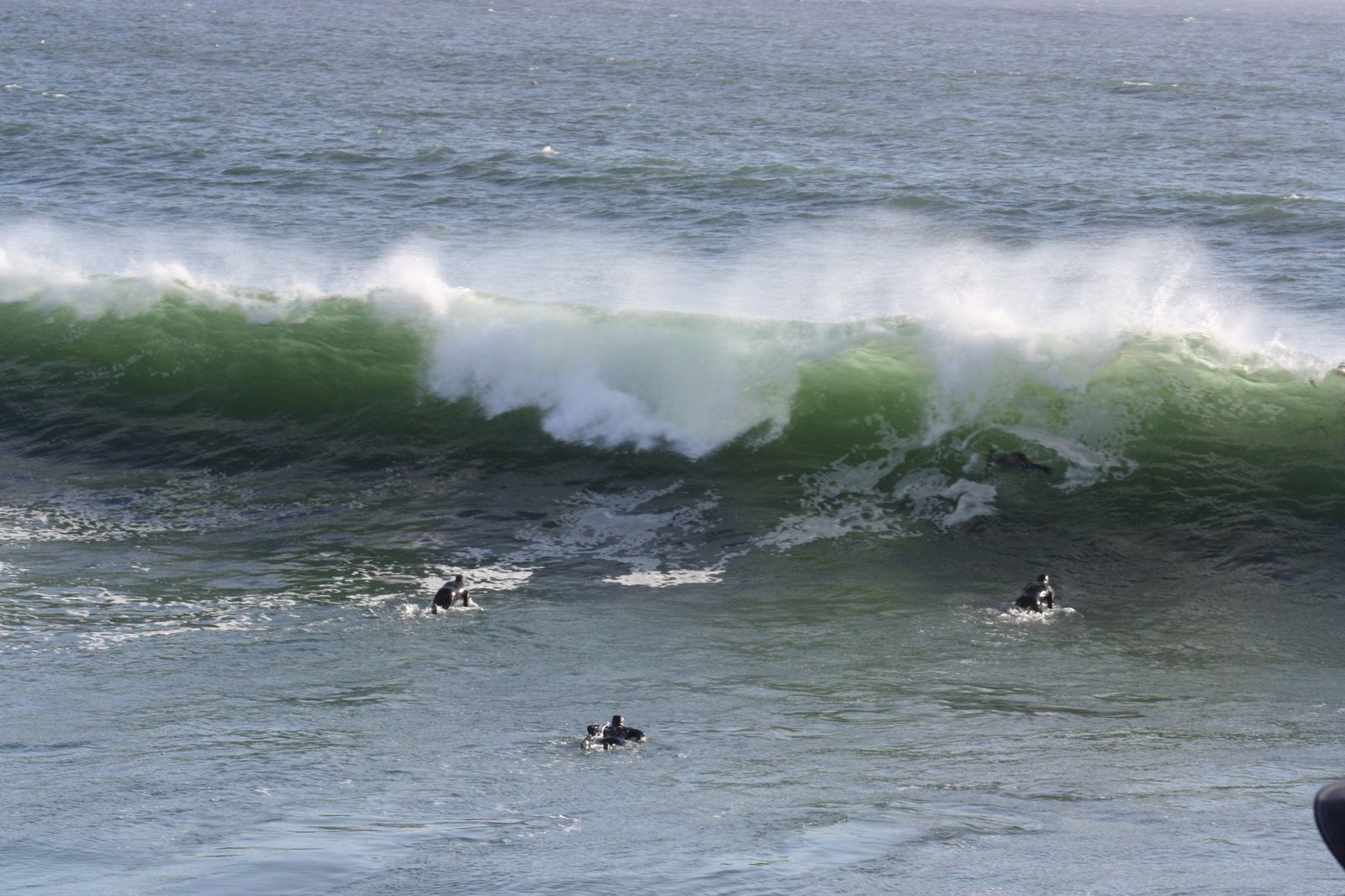
This path runs past Steamer Lane, one of California’s most famous surf breaks, and the Mark Abbott Memorial Lighthouse, which doubles as a surfing museum. Multiple bluff-top points along the way work well for spotting whales offshore.
Best time to hike West Cliff Drive: winter for gray whale migration
The December-through-April gray whale migration passes close enough offshore to spot from several points along this path,worth timing a visit around if that’s the draw, though coastal fog can affect visibility year-round, which is worth checking alongside general weather conditions before you go.
Natural Bridges State Beach Trail
This is a short trail built around two very different landmarks,and one of them has a more layered story than its current form suggests.
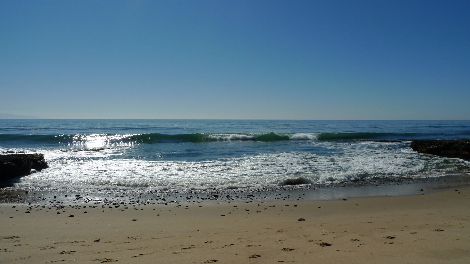
Trailhead access: Natural Bridges State Beach, day-use fee
A modest day-use fee applies at the park entrance, reachable via Swift Street off Highway 1 or by following West Cliff Drive to its western end.
Difficulty, distance, and elevation gain on the loop
It’s a short 0.6-mile loop with minimal elevation gain,built around reaching two specific landmarks rather than covering distance.
What you’ll see: a sea arch (though not the park’s original one), and thousands of overwintering monarch butterflies
Worth knowing: the park’s plural name reflects a history of multiple sea arches along this stretch of coast,the largest has since collapsed, and today a single, smaller arch remains visible and walkable-to at low tide. Separately, the park’s eucalyptus grove hosts one of the more reliable monarch butterfly overwintering sites in California; roughly 10,000 monarchs used the grove in a recent season.
Best time to hike Natural Bridges: fall through winter for the monarchs
The monarch overwintering season runs roughly October through February, the clear draw for many visitors to this specific trail.
Panther Beach Trail
This is the trail most visitors to this county never find,genuinely easy to drive past without noticing.
Trailhead access: an unmarked Highway 1 pullout near Davenport
There’s no sign and no developed lot,just a roadside pullout on Highway 1, north of Santa Cruz proper near Davenport. This beach sits on Coast Dairies land, a state park acquisition still working toward formal park status, which is part of why the access point remains so undeveloped.
Difficulty, distance, and elevation gain down to the beach
It’s under half a mile, but the descent down the bluff is genuinely steep and can be eroded or slippery,short distance doesn’t mean casual effort here.
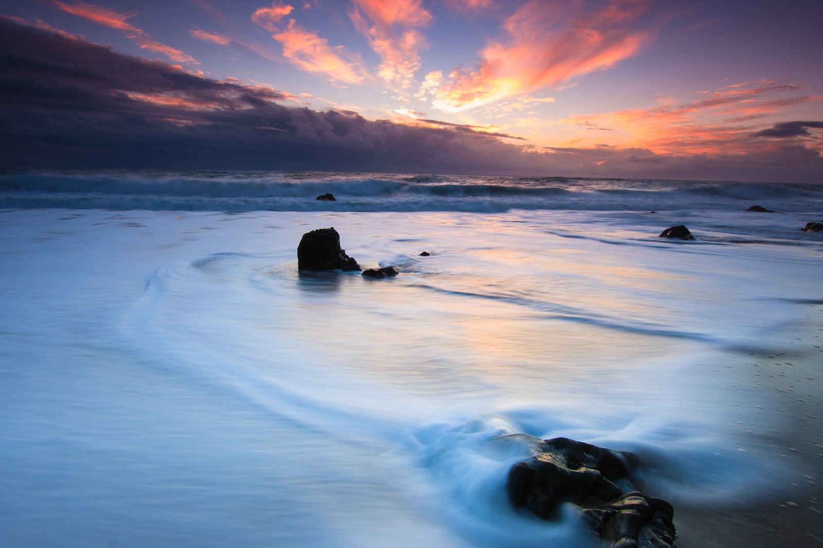
What you’ll see: a walk-in sea cave and purple-tinted sand
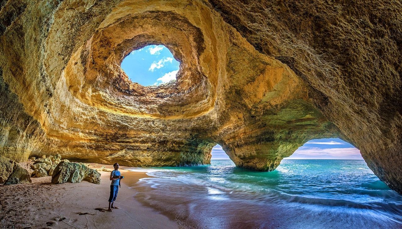
At lower tides, a sea cave opens at the beach’s south end, connecting to a second, more secluded beach some maps label “Hole-in-the-Wall.” The sand itself carries a distinctive purple tint from garnet mineral deposits washed down from the surrounding hills,a genuinely rare geologic feature found at only a handful of beaches statewide.
Worth knowing before you bring family: both this beach and its southern neighbor are locally understood as clothing-optional.
Best time to hike Panther Beach: low tide, for the cave and the best sand color
Both the sea cave and the most vivid purple sand deposits are only visible or accessible at lower tides,check a tide table, and be aware that rip currents here can be genuinely dangerous even for confident swimmers.
Seacliff State Beach: Cement Ship Trail
This trail’s entire premise has changed since the heading file for this guide was drafted, and it’s worth understanding why before you plan a visit around it.
Trailhead access: Seacliff State Beach, Aptos, day-use fee
A $10 vehicle day-use fee applies at the main lot, with additional beachside parking available.
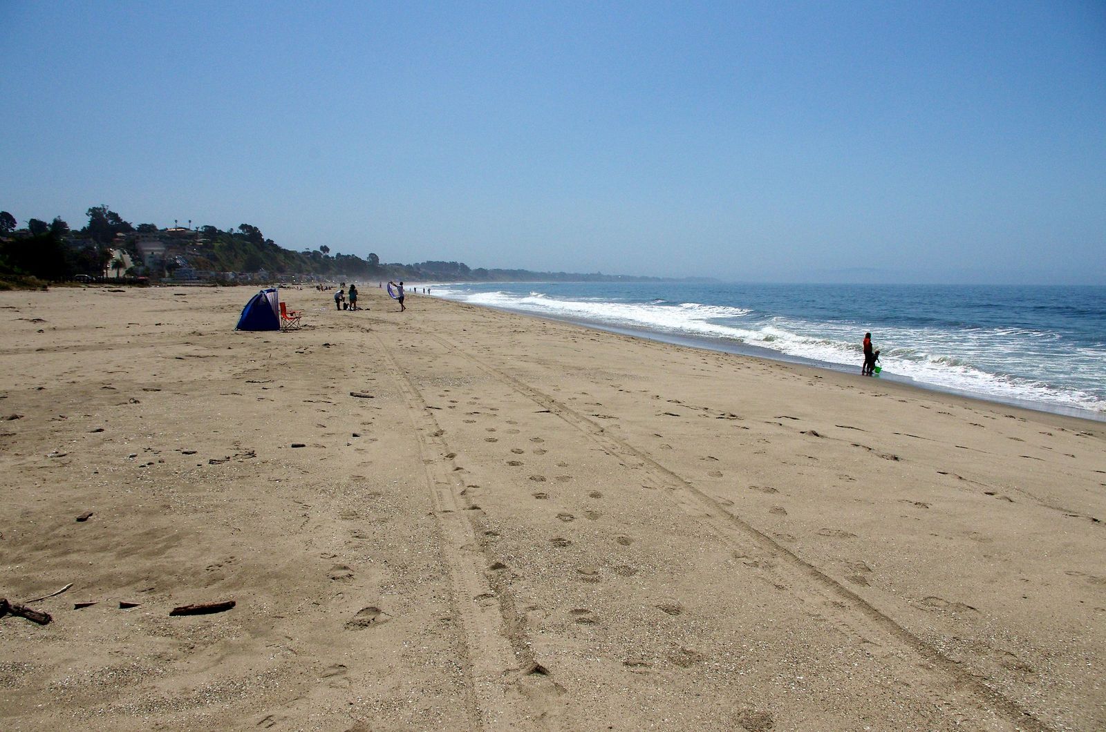
Difficulty, distance, and elevation gain: a flat beach and promenade walk, not a pier walk
This used to be a genuine “walk out on a 500-foot pier” experience. It isn’t anymore. The January 2023 winter storms destroyed more than half of the pier, and California State Parks determined the remainder was beyond repair,the whole structure was demolished between March and May 2023, with no rebuild currently planned. What’s left is a flat walk along the beach and promenade, under half a mile, with a distant view of the ship rather than a walk-up one.
What you’ll see: the SS Palo Alto, a WWI-era “cement ship,” viewed from shore
Built in 1919 as an experimental concrete-hulled tanker that never saw wartime service, the Palo Alto was towed here in 1930 and deliberately sunk to serve as the centerpiece of a short-lived amusement pier, complete with a restaurant and dance hall, before the operating company went bankrupt after just two seasons.
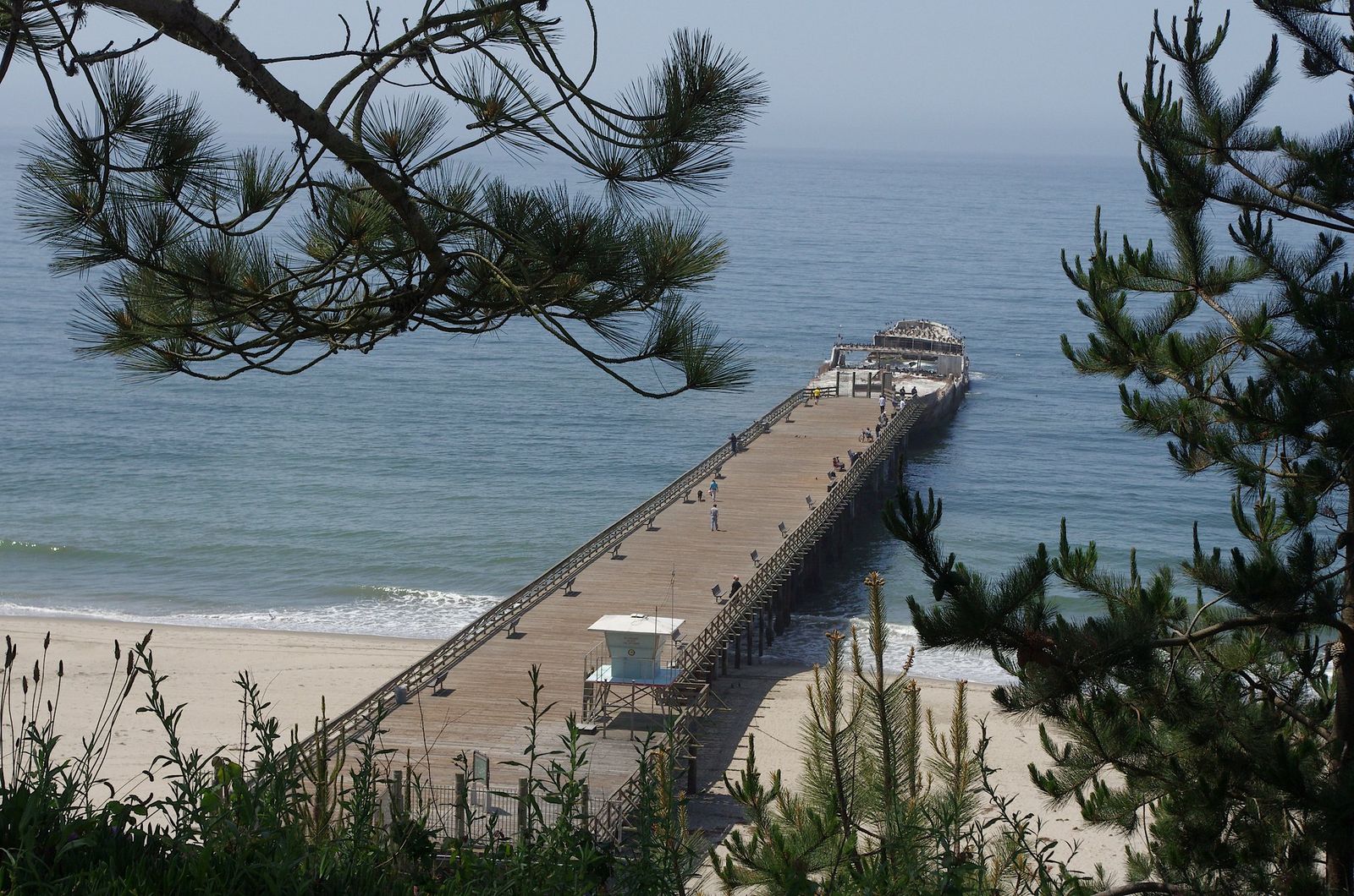
The wreck itself has also been closed to public access due to storm damage, separate from the pier’s removal,today it functions mainly as habitat for marine life, home to sea stars, anemones, and urchins, visible but no longer reachable.
Best time to hike the Cement Ship Trail: low tide, for the clearest distant view
With the pier gone, low tide and clear weather now matter more than ever for getting a good look at the wreck from the beach.
Which of these five to hike first
If you want one trail that captures everything this coastline offers, Old Cove Landing Trail at Wilder Ranch is the easy answer. If you’re downtown with an hour to spare, West Cliff Drive delivers surf culture and whale-watching without a car. And if you’re chasing something genuinely few visitors find, Panther Beach’s purple sand and sea cave are worth the unmarked pullout.
Frequently asked questions
Is there a fee to hike at Wilder Ranch?
Yes, a day-use fee applies at the Visitor Center kiosk, though free roadside parking is sometimes available outside the park boundary along Highway 1.
Is West Cliff Drive good for whale watching?
Yes, particularly December through April during the gray whale migration,several bluff-top points along the path work well, fog permitting.
When do monarch butterflies arrive at Natural Bridges?
Roughly October through February, with numbers typically peaking in the winter months.
Why is the sand purple at Panther Beach?
Garnet mineral deposits wash down from the surrounding hills and mix into the sand, creating a genuinely rare purple tint found at only a few California beaches.
Is the Cement Ship at Seacliff Beach still visible?
Yes, but only from shore now,the pier that once let visitors walk out to the SS Palo Alto was demolished in 2023 after storm damage left it beyond repair, and there’s currently no plan to rebuild it.
Are Santa Cruz coastal trails dog-friendly?
It varies by trail,West Cliff Drive and Wilder Ranch’s coastal terrace trails generally allow leashed dogs, while some state park interior trails and beach areas restrict them. Check posted signage at each specific trailhead.