The 5 Best Hiking Trails in the Santa Cruz Mountains
This guide covers the inland best Hiking Trails in Santa Cruz Mountains, distinct from the county’s redwood-specific parks (such as the rugged trails in Portola Redwoods), the coast, and Big Basin’s dedicated guide elsewhere in this county. These five trails range from a rock-climbing landmark to a working timber forest that still shares its trails with the public, and if you want easier options than what’s here, my beginner-friendly guide covers gentler in-town alternatives.
Disclosure: Please note that some of the links below are affiliate links and at no additional cost to you, I may earn a commission. Know that I only recommend hiking gear I personally stand behind; when you use my affiliate links, it helps me run this blog and keep all of this content free of charge for readers (like you).
Start at the Santa Cruz County trail guide for the complete picture, or explore the deep creek canyons in the Forest of Nisene Marks State Park if you want miles of quiet, shaded timberland.
Key takeaways
- The climbing landmark: Castle Rock State Park,sandstone formations popular with technical climbers, plus a genuine 75-foot waterfall.
- The quiet historic ranch: Quail Hollow Ranch’s Discovery Trail,a former Sunset Magazine family property, now a rare-habitat preserve.
- The one with real hours to check: Loch Lomond Recreation Area,genuinely closed part of the year, not a show-up-anytime trail.
- The in-town escape: Pogonip,lime kiln ruins and Monterey Bay views minutes from downtown Santa Cruz.
- The working forest: Soquel Demonstration State Forest’s West Ridge Trail,active logging and public recreation sharing the same land.
- This guide has the widest range of trail “personalities” in the whole Santa Cruz County, climbing culture, working timberland, and a municipal reservoir all show up nowhere else in this county’s series.
Quick-glance comparison
| Trail | Distance (RT) | Elevation gain | Fee |
|---|---|---|---|
| Castle Rock Trail | 2.8–9 mi (route-dependent) | ~600–1,530 ft | $10 day-use |
| Quail Hollow Ranch (Discovery Trail) | ~1.7 mi | Under 200 ft | Free |
| Loch Lomond (Kennedy Trail Loop) | ~3 mi | ~500 ft | Fee, seasonal access limits |
| Pogonip | ~2.5 mi | ~400 ft | Free |
| Soquel Demonstration Forest (West Ridge) | ~6 mi (adjustable) | ~1,200 ft | Free |
Castle Rock State Park: Castle Rock Trail
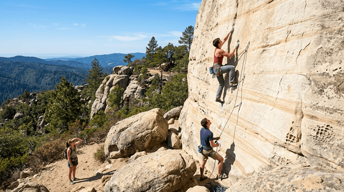
This is the trail climbers and hikers share in roughly equal measure,genuinely distinct company from anywhere else in this county’s guide series.
Trailhead access: a state park lot on Skyline Boulevard, day-use fee
Park at the signed lot along Skyline Boulevard (Highway 35), reachable via Highway 9 through Saratoga. A $10 vehicle day-use fee applies; there’s no visitor center or store on-site, so come prepared.
Difficulty, distance, and elevation gain to Castle Rock
A direct push to the Castle Rock formation itself runs about 2.8 miles round trip with 600 feet of gain. Loop options that also take in Castle Rock Falls and the park’s interpretive sites extend to 5.5–9 miles with up to 1,530 feet of gain,confirm which version you’re planning before you go.
What you’ll see: wind-carved sandstone formations and a 75-foot waterfall
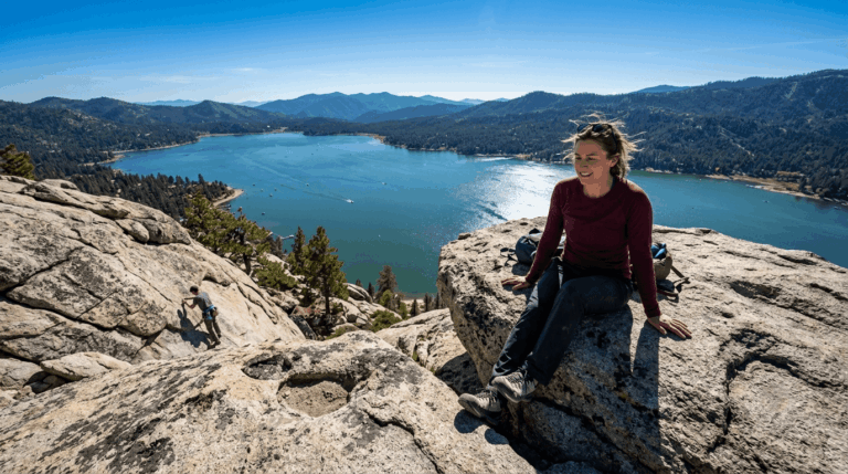
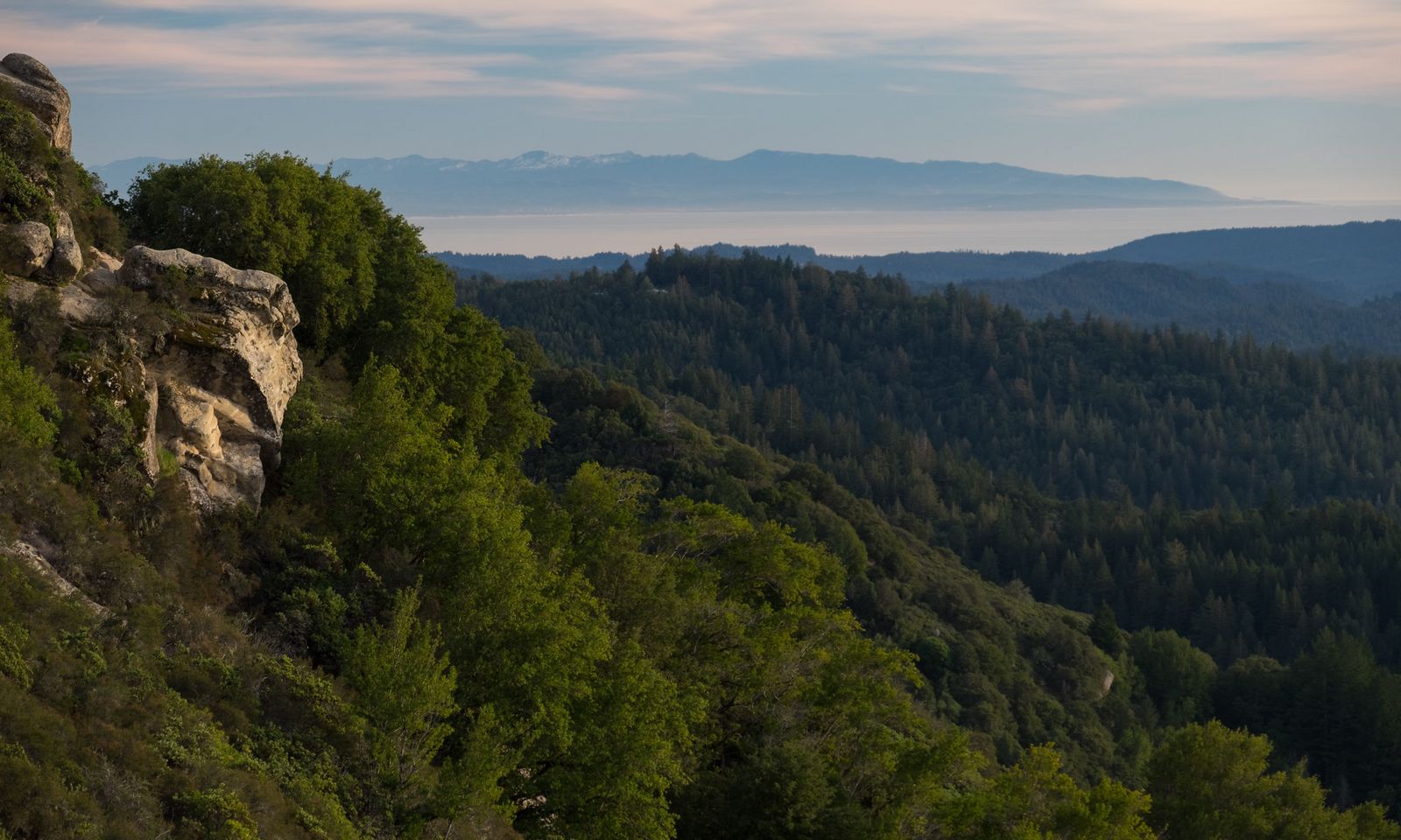
The park’s namesake Vaqueros sandstone formed from submarine deposits roughly 30 to 40 million years ago, now eroded into the climbing walls at Goat Rock, Varian Peak, and Castle Rock itself.
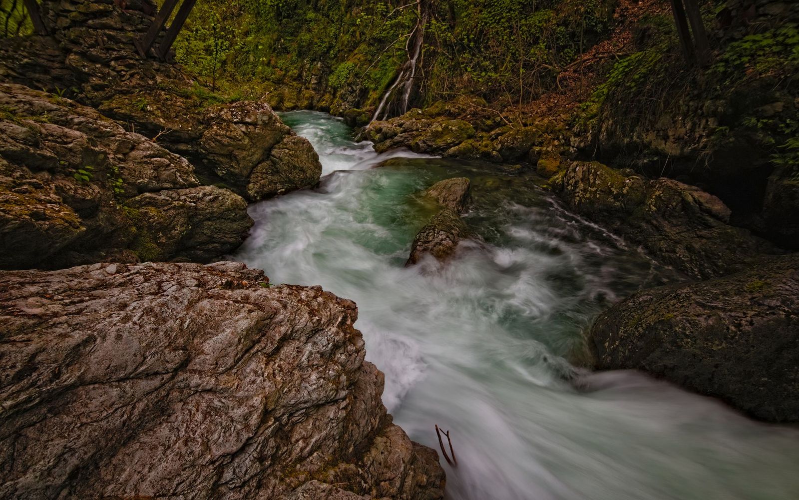
Castle Rock Falls, fed by natural springs, drops 75 feet toward the San Lorenzo River. One rule worth knowing: dogs aren’t permitted on the trails or in the campground here, unlike several other trails in this guide.
Best time to hike Castle Rock: weekday mornings, expect climbers on weekends
Rock climbers concentrate here on weekends specifically, so a weekday visit gets you a quieter trail if crowds aren’t your thing.
Quail Hollow Ranch County Park: Discovery Trail
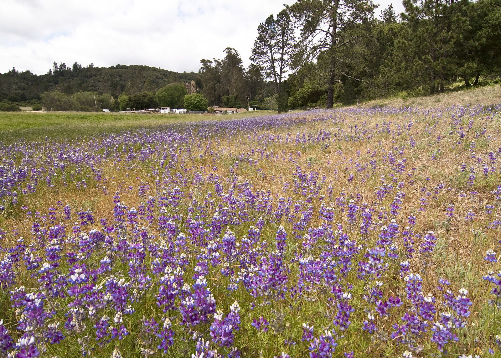
This is the trail I’d call the most historically layered short walk in this entire guide,a working ranch, a magazine dynasty, and two genuinely rare species, all in 300 acres. Quail Hollow Ranch sits about two miles up Zayante Road from Felton just a short drive from Henry Cowell Redwoods State Park with free parking and a historic ranch house serving as the visitor center.
Trailhead access: a free Santa Cruz County park lot near Felton
Quail Hollow Ranch sits about two miles up Zayante Road from Felton, with free parking and a historic ranch house serving as the visitor center.
Difficulty, distance, and elevation gain on the Discovery Trail
It’s an easy 1.7-mile loop with under 200 feet of gain,one of several short trails through the park’s 300 acres and 15 distinct habitats.
What you’ll see: a rare sandhill habitat, and a Sunset Magazine connection
This land was owned by the Lane family,the publishers of Sunset Magazine,from 1929 to 1991, before becoming a county park and nature preserve. The rare sandhill ecosystem here supports two specifically named endangered species: the Ben Lomond spineflower and the Mount Hermon June beetle, found in only a handful of locations worldwide.
Best time to hike Quail Hollow Ranch: spring for rare wildflower blooms
Spring brings the specialized wildflower blooms unique to this sandhill habitat, along with the most comfortable hiking temperatures.
Loch Lomond Recreation Area: Kennedy Trail Loop
This is the only trail in this guide you genuinely cannot visit whenever you’d like, and it’s worth understanding exactly why before you plan around it.
Trailhead access: a City of Santa Cruz reservoir facility, with real seasonal limits
Loch Lomond charges a modest entrance fee, but the bigger planning factor is timing: this recreation area closes entirely from roughly the second weekend of October through the first weekend of March each year, and even during part of its open season, access can be limited to weekends only. Check the City of Santa Cruz’s current watershed recreation page before you plan a visit,this isn’t a trail you can treat as open by default.
Difficulty, distance, and elevation gain around the reservoir
It’s a 3-mile loop with about 500 feet of gain through mixed forest along the reservoir shoreline,a moderate profile with water views for nearly the entire hike.
What you’ll see: a working reservoir with fishing and boat rentals
Loch Lomond Reservoir supplies part of the city’s water while also functioning as a genuine recreation destination, with fishing and boat rentals available during the open season,a dual-purpose entity unlike any other trail in this guide.
Anglers come specifically for stocked rainbow trout and largemouth bass, and the surrounding forest of second-growth redwood and oak gives the whole loop a noticeably different feel than the drier, more exposed trails elsewhere in this county’s series.
Best time to hike Loch Lomond: spring and fall, and only when it’s actually open
Beyond the hard seasonal closure, spring and fall offer the most comfortable temperatures during the months this recreation area is accessible at all.
Pogonip: Spring Street to Historic Lime Kilns Loop
This is the trail I’d send anyone who wants a genuine escape from downtown Santa Cruz without a long drive,a name that literally means “frozen fog,” borrowed from the Shoshone.

Trailhead access: free, near the Pogonip Golf Course
Park near the golf course entrance, close enough to walk from parts of downtown Santa Cruz. Hours vary by season: sunrise to 7 p.m. April through October, sunrise to 4 p.m. November through March.
Difficulty, distance, and elevation gain through the greenbelt
This specific loop runs about 2.5 miles with 400 feet of gain, one route among roughly 8 to 11.5 total miles of trail across Pogonip’s 640 acres.
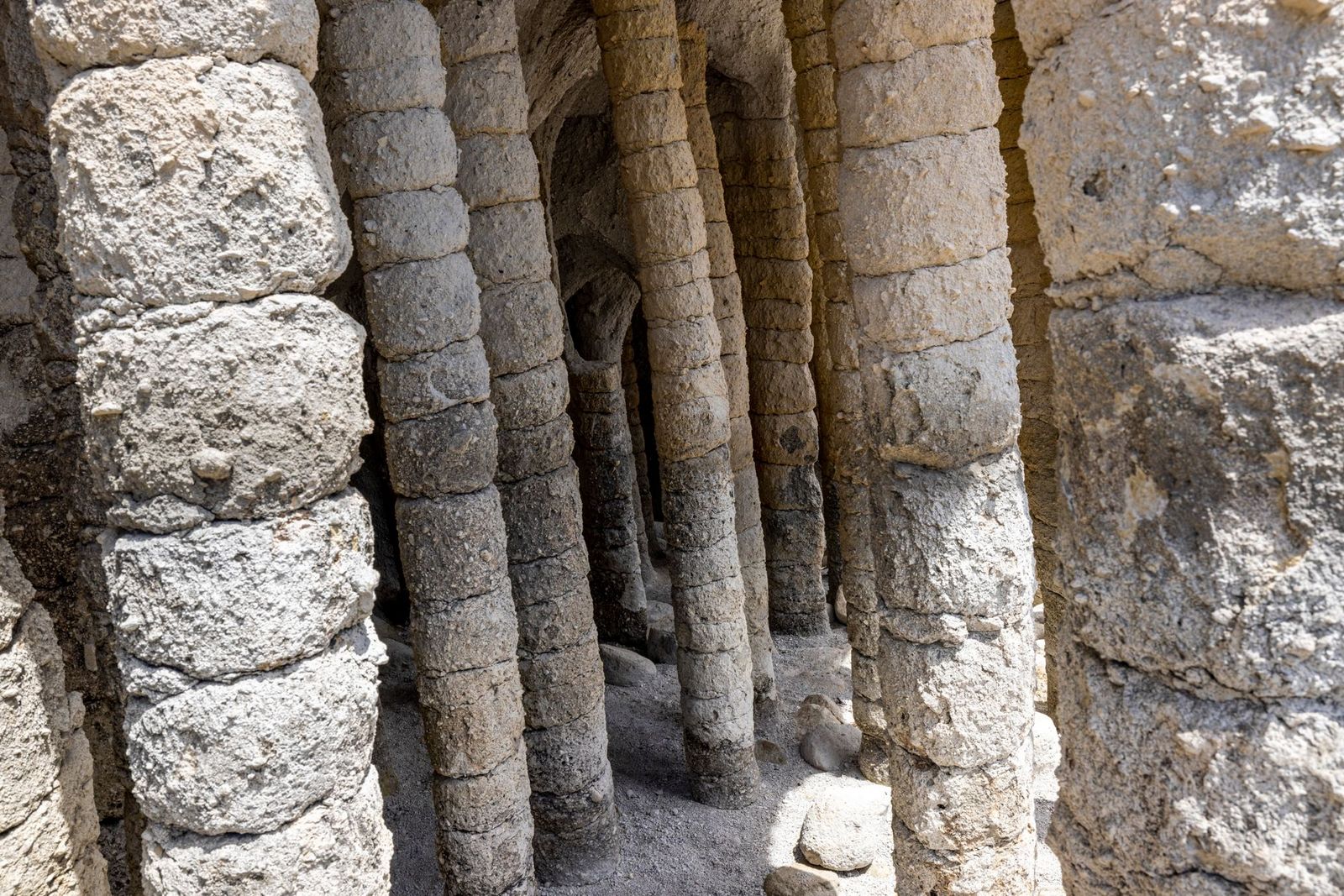
What you’ll see: 19th-century lime kiln ruins and open meadow views
The kilns here date to 1880s logging and lime operations, distinct from the similarly historic kilns covered in my redwood trails guide at Henry Cowell’s Fall Creek Unit,two separate sites from the same regional industry. Open meadow sections deliver genuine views over Santa Cruz and Monterey Bay on clear days.
Worth a practical note: parts of this greenbelt have seen homeless encampments and tick activity in recent visitor reports, nothing that should keep you away, but worth the same general awareness covered in my wildlife hazards guide.
Best time to hike Pogonip: a convenient in-town escape any season
Its central, low-elevation location makes this accessible nearly any time of year without a long drive,genuinely one of the more schedule-friendly trails in this county’s whole series.
Soquel Demonstration State Forest: West Ridge Trail
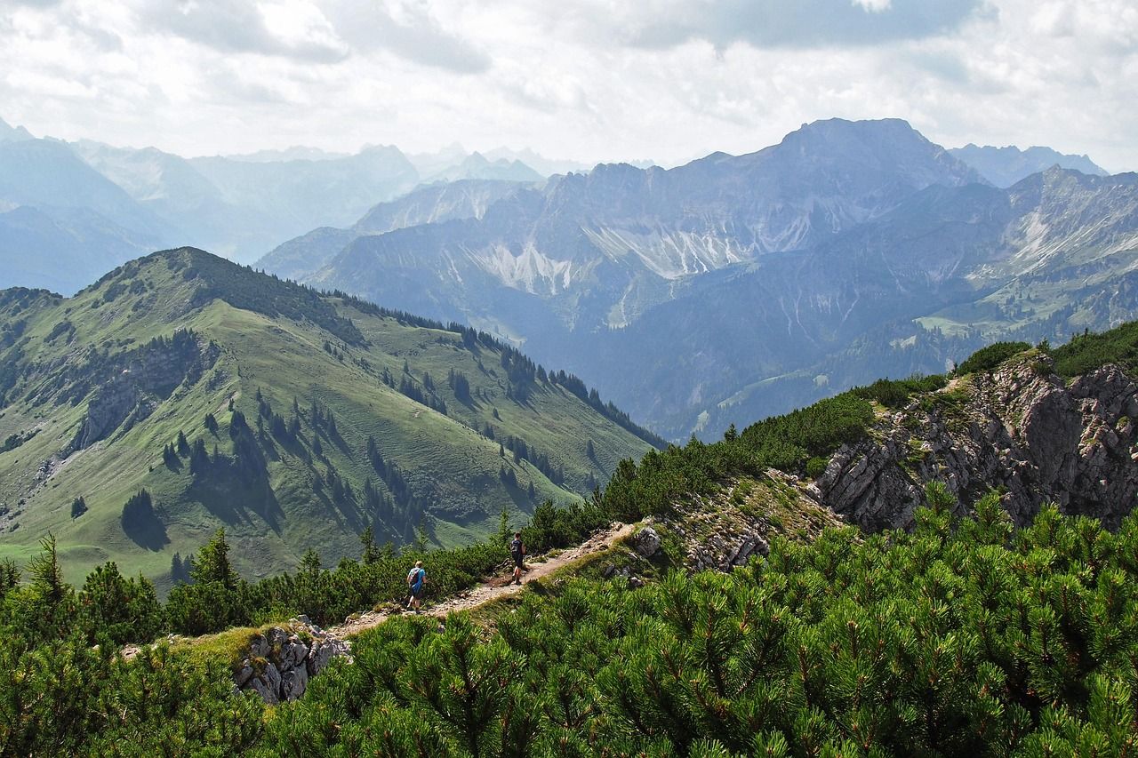
This is the only working timber forest in this entire county’s guide series, genuinely different from every preserved old-growth park covered elsewhere.
Trailhead access: the public entrance is in Los Gatos, not Soquel
Worth correcting here: while the forest is administratively named for and headquartered near Soquel, the actual public trail entrance sits at 29400 Highland Way in Los Gatos,a meaningfully different drive depending which side of the mountains you’re coming from. Access is free.
Difficulty, distance, and elevation gain on the West Ridge Trail
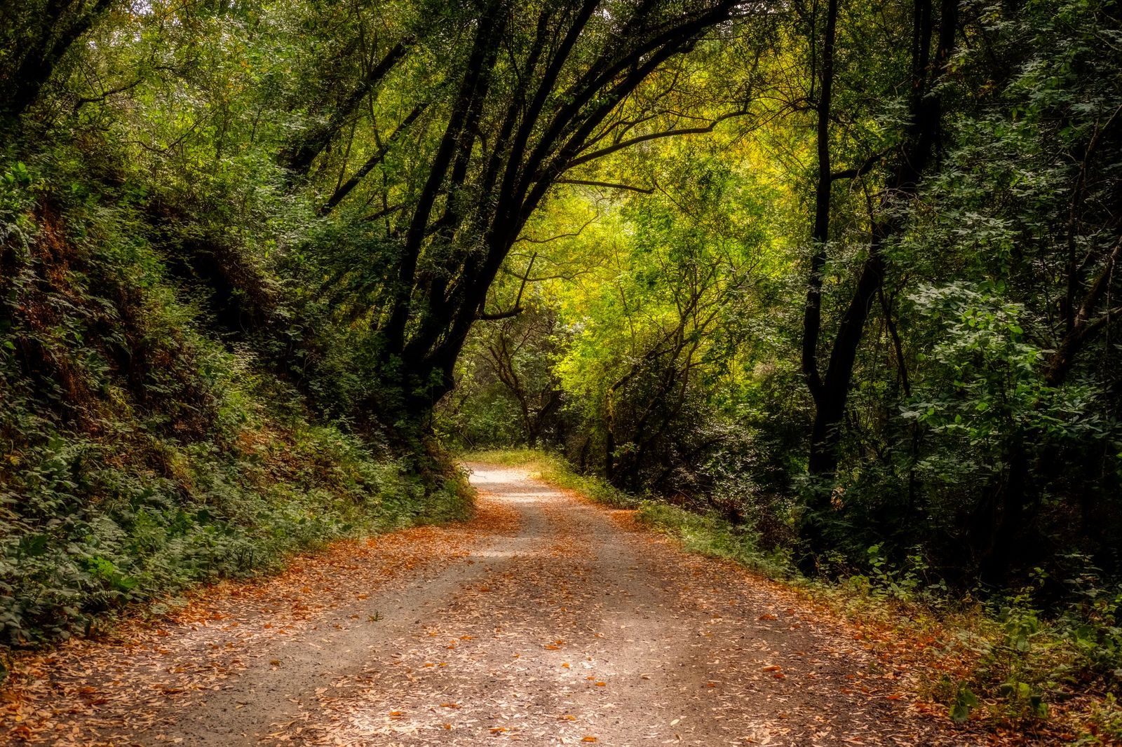
Expect about 6 miles round trip, adjustable, with roughly 1,200 feet of gain on a mix of fire road and singletrack,a longer, more demanding profile than most other trails in this guide.
What you’ll see: an actively managed forest balancing logging and recreation
CAL FIRE manages this 2,681-acre working forest, established in 1990, where sustainable timber harvest coexists with public hiking and mountain biking trails,genuinely popular with intermediate and advanced mountain bikers for long climbs and technical descents.
Named trails here include Braille, Corral, Ridge, and a newer flow trail built with local mountain biking groups, and it’s common to share the fire road with logging trucks during active harvest periods, a genuinely unique experience compared to the preserved-forest quiet of Henry Cowell or Big Basin.
Best time to hike West Ridge Trail: dry season for the best conditions
Active logging operations and muddy trail conditions can affect access here more than at any other trail in this guide. The dry season is the most reliable time to visit, and it’s worth checking CAL FIRE’s current trail status before you go.
Which of these five to hike first
If you’re not fussed about crowds, Castle Rock delivers the most dramatic scenery in this guide. If timing matters to your plans, remember Loch Lomond’s real seasonal closure before you build a trip around it. And if you want something genuinely unlike anywhere else in this county’s coverage, Soquel Demonstration Forest’s working-timberland character is one of a kind.
Frequently asked questions
Is Castle Rock State Park good for rock climbing?
Yes, it’s one of the more popular technical climbing destinations in the Santa Cruz Mountains, with sandstone formations at Castle Rock, Goat Rock, and Varian Peak drawing climbers alongside hikers, especially on weekends.
What is a sandhill ecosystem?
It’s a rare habitat type formed by ancient marine sand deposits, supporting specialized plant and insect species found almost nowhere else,Quail Hollow Ranch and Henry Cowell’s Observation Deck Trail both protect small pockets of this ecosystem in Santa Cruz County.
Is there a fee at Loch Lomond Recreation Area?
Yes, a modest entrance fee applies, and the area also has real seasonal closure,it’s shut entirely from roughly mid-October through early March, so check current hours before visiting.
What are the lime kilns at Pogonip?
They’re 19th-century stone structures once used to burn local limestone into building lime, dating to logging operations in the 1880s,a different, separate site from the similarly historic kilns at Henry Cowell’s Fall Creek Trail.
Is Soquel Demonstration State Forest open to the public?
Yes, it’s a genuinely working timber forest managed by CAL FIRE that also welcomes public hiking and mountain biking, free of charge, through its Los Gatos entrance.
Are Santa Cruz Mountains trails muddy in winter?
Some genuinely are, particularly Soquel Demonstration Forest, where active logging combines with wet-season conditions to affect trail quality. Others, like Pogonip, stay reasonably hikeable year-round given their lower elevation.