Best Hiking Trails in San Joaquin County, California
The best Hiking Trails in San Joaquin County are defined by water rather than elevation: the flat, levee-laced Sacramento-San Joaquin Delta, the Calaveras and Mokelumne rivers running through Stockton and Lodi, and a wintering ground for one of the more spectacular bird migrations in the state. None of it involves climbing, which makes this an easy county to explore on foot, and a natural stop for anyone road-tripping between the Bay Area and the Sierra foothills.
Disclosure: Please note that some of the links below are affiliate links and at no additional cost to you, I may earn a commission. Know that I only recommend hiking gear I personally stand behind; when you use my affiliate links, it helps me run this blog and keep all of this content free of charge for readers (like you).
Key takeaways
- San Joaquin County has three hiking zones: the Delta’s levee trails, the Calaveras River corridor through Stockton, and the Woodbridge/Lodi area’s wildlife viewing near the Cosumnes River Preserve border.
- Woodbridge Ecological Reserve is considerably smaller than some guides suggest: about 353 acres total, split into a public South Unit (147 acres) and a North Unit (207 acres) that’s closed except for guided tours.
- Sandhill cranes stage at Woodbridge from late September through late February, with the reserve’s South Unit requiring a CDFW Lands Pass or valid hunting/fishing license for parking and viewing access.
- The Calaveras River Trail runs about 12 miles, paved and flat, from Stockton’s waterfront to eastern Stockton (one of the more underrated urban nature trails in the Central Valley).
- The Cosumnes River Preserve sits mainly in neighboring Sacramento County, though it’s close enough to the San Joaquin line that it’s a natural add-on to a Woodbridge crane-viewing trip.
Hiking in San Joaquin County: Delta trails and foothill access
San Joaquin County sits at the heart of California’s Central Valley, where the Sacramento-San Joaquin Delta’s 1,100 miles of waterways meet Stockton’s urban river corridors and the first gentle rise toward the Sierra Nevada foothills further east. That same Delta and river landscape continues south into the hiking trails in Stanislaus County.
That combination gives the county a different hiking identity than its mountain- and coast-focused neighbors: this is a place to walk for wildlife and water views rather than summit views.
Best nature trails at Woodbridge Ecological Reserve, San Joaquin County
Managed by the California Department of Fish and Wildlife near Lodi, Woodbridge Ecological Reserve (also known as the Isenberg Sandhill Crane Reserve) protects one of the largest freshwater marsh wintering habitats in the state.

Woodbridge Crane Loop: San Joaquin County’s best wildlife walking trail
Viewing happens from turnouts and a walking loop along Woodbridge Road in the reserve’s South Unit, with the North Unit’s 207 acres open only via CDFW-arranged guided tours rather than general public access.
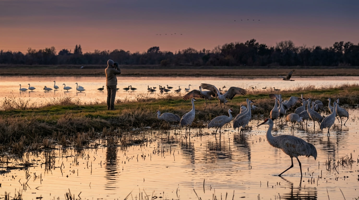
Sandhill cranes stage here from late September through late February, with the largest evening fly-ins numbering in the thousands during peak months, alongside greater white-fronted geese, tundra swans, and northern harriers hunting over the flooded fields.
Access to the South Unit’s parking and viewing area requires a CDFW Lands Pass or a valid California hunting or fishing license. It isn’t simply free walk-up access the way many nature reserves are, so plan on picking one up before you go if you don’t already have a qualifying license.
Practicing Leave No Trace principles is essential here to avoid disturbing roosting flocks. Dawn and dusk both offer strong viewing, though the evening fly-in, when the cranes converge on the flooded fields for the night, is the event most visitors come specifically to see.
Best hiking trails along the Calaveras River, San Joaquin County
Stockton’s Calaveras River Trail is a paved, Stockton’s Calaveras River Trail is a paved, flat multiuse path running roughly 12 miles from the city’s waterfront to eastern Stockton, following a riparian corridor lined with oak and willow.
Calaveras River Trail: Stockton’s best urban nature walk
The central section, a roughly 6-mile round trip from the Victory Park trailhead, is the most popular stretch, passing through multiple city parks with regular sightings of kingfishers, wood ducks, and the occasional river otter.
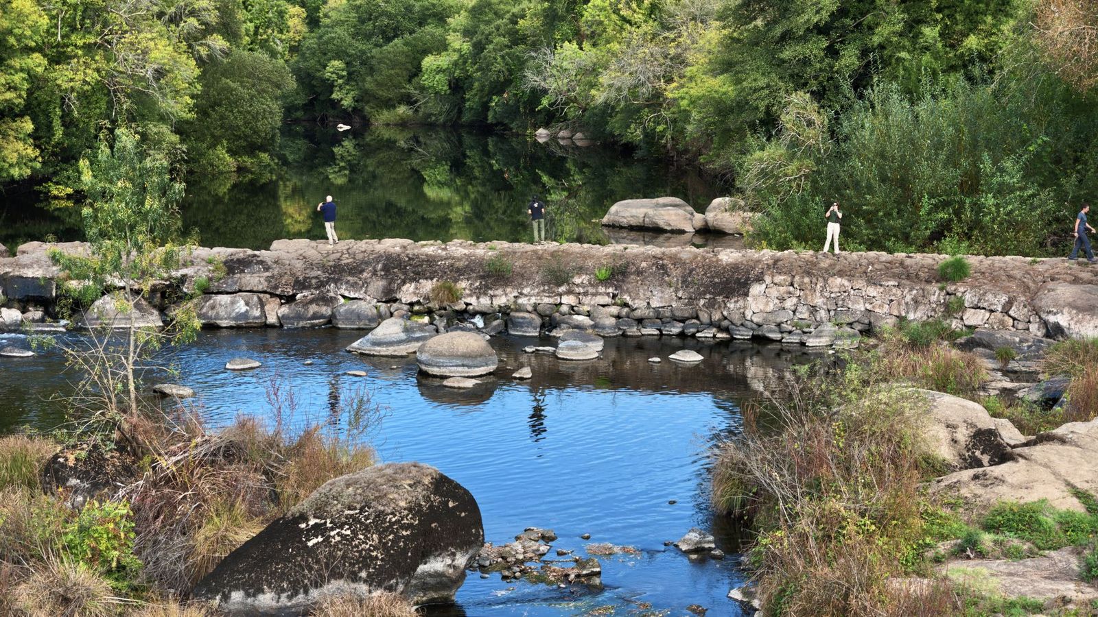
It’s free, requires no reservation, and stays flat and accessible for strollers or bikes the entire way. Just follow standard hiking trail etiquette when sharing the multiuse path with faster cyclists. October through April is the most comfortable season, before Central Valley summer heat and trail dust set in.
Best hiking trails at San Joaquin Delta levees
The Sacramento-San Joaquin Delta’s levee system offers a different kind of walking: flat, open, and defined by water on both sides rather than forest or ridgeline.
Cosumnes River Preserve trails: San Joaquin County’s best birdwatching hike
At more than 50,000 acres, the Cosumnes River Preserve sits mainly across the county line in Sacramento County, reached via Franklin Boulevard, but it’s close enough to San Joaquin County’s Woodbridge area to combine into the same day trip.
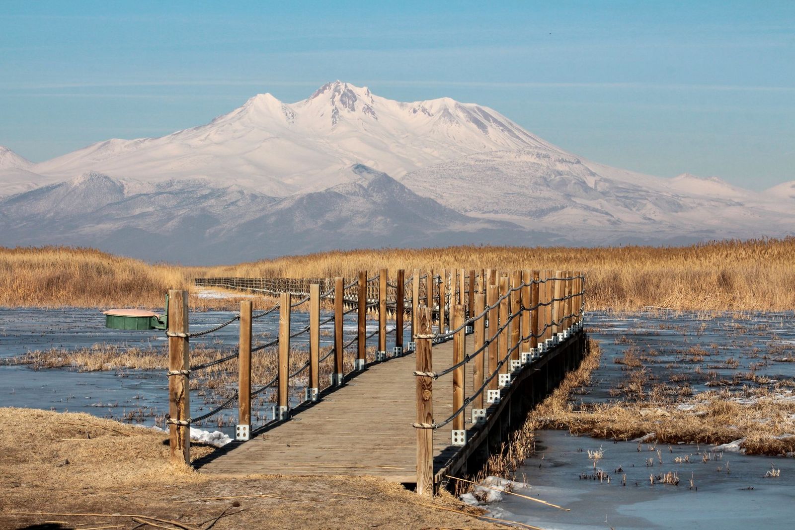
About 4 miles of trail, including the Wetlands Walk and its quarter-mile boardwalk into the marsh, cross riparian forest and open wetland, with sandhill cranes staging here too from roughly October through February alongside river otters and beavers. It’s free, flat, and open from sunrise to sunset. Brannan Island State Recreation Area, near Rio Vista, offers additional Delta levee walking, with day use running about $10.

San Joaquin County rewards visitors chasing wildlife and water over elevation: the sandhill crane fly-in at Woodbridge alone is worth timing a winter trip around, and the Calaveras River Trail gives Stockton a pleasant urban nature walk most visitors don’t expect to find here.
Start with the Calaveras River Trail’s Victory Park section for an easy introduction, browse our best hiking trails for beginners in California for similar low-impact routes, and build a fall or winter trip around Woodbridge and the Cosumnes River Preserve once crane season arrives. Few Central Valley counties pack this much wildlife-watching into a landscape most people drive through without stopping.
Frequently asked questions about hiking trails in San Joaquin County
What hiking or nature trails are near Stockton, California?
The Calaveras River Trail is the best urban option, a flat 12-mile paved path with a popular 6-mile round trip section from Victory Park. For wildlife viewing, Woodbridge Ecological Reserve near Lodi is a short drive away.
When can I see sandhill cranes near Lodi or Stockton?
Late September through late February, with the evening fly-in at Woodbridge Ecological Reserve as the signature event. Peak numbers typically build through November and December.
Is there a trail along the Calaveras River in Stockton?
Yes, a paved, flat, roughly 12-mile multiuse trail runs from Stockton’s waterfront to eastern Stockton, with the most popular section a 6-mile round trip from Victory Park. It’s free and accessible year-round, though October through April offers the most comfortable hiking weather.
Are there hiking trails in the San Joaquin Delta?
Yes, mostly along levee systems rather than traditional forest trails. Brannan Island State Recreation Area offers Delta-side walking just across the county line in Sacramento County, and the Cosumnes River Preserve just across the Sacramento County line adds several more miles through riparian wetland.
What is the best outdoor activity near Stockton, California?
Combining the Calaveras River Trail with a fall or winter sandhill crane viewing trip to Woodbridge Ecological Reserve covers the county’s two strongest outdoor experiences in a single visit. Both are flat, easy, and accessible without any elevation gain.
Are there easy nature walks for families near Stockton?
Yes, the Calaveras River Trail’s paved, flat surface works well for young kids, strollers, and bikes alike. The Woodbridge crane viewing turnouts are similarly easy, though they’re more of a short wildlife-watching stop than a long walk.