Hiking Trails in Napa County, California
Napa’s reputation as a wine destination is so total that most visitors never realize the valley is ringed by more than 150 miles of trail, an extinct volcano, California’s largest lake within the county, and volcanic ridgelines most tasting-room itineraries never mention. The hiking here doesn’t compete with wine tasting for attention; it complements it, with several routes genuinely worth building a morning around before an afternoon at the tasting room. Here are the Hiking Trails in Napa County most guides skip entirely.
Disclosure: Please note that some of the links below are affiliate links and at no additional cost to you, I may earn a commission. Know that I only recommend hiking gear I personally stand behind; when you use my affiliate links, it helps me run this blog and keep all of this content free of charge for readers (like you).
Key takeaways
- Napa County holds three distinct hiking zones: the Mayacamas Mountains and Robert Louis Stevenson State Park, Lake Berryessa, and the Napa Valley floor’s Skyline Wilderness Park and Palisades; most visitors only ever see the valley floor itself.
- Mount St. Helena’s North Peak is the highest point in Napa County at 4,343 feet; the standard hiking route starts from the Napa side in Robert Louis Stevenson State Park near Calistoga.
- Lake Berryessa is Napa County’s largest lake and one of California’s larger reservoirs, with roughly 165 miles of shoreline and extensive public land access nearby.
- Skyline Wilderness Park sits right above Napa city, offering 25 miles of trail and genuine valley views for a $5 entry fee, no reservation required.
- The Oat Hill Mine Trail follows an 1874 mercury mine road out of downtown Calistoga, one of the county’s most historically interesting hikes.
- A handful of Napa wineries genuinely combine hiking with wine tasting, a pairing that’s fairly unique to this county among California wine regions.
Related
Why Napa County offers more than just wine: hiking in wine country
Despite its wine-tourism reputation, Napa holds more than 150 miles of trail across Robert Louis Stevenson State Park’s extinct volcanic terrain, Lake Berryessa (Napa County’s largest lake), the Palisades wilderness above the valley floor, and Skyline Wilderness Park right above the city itself. Almost none of this shows up in a typical wine-country trip itinerary, which means most of it stays genuinely uncrowded even on a busy tasting-room weekend.
Napa County’s three hiking zones
The Mayacamas Mountains and Robert Louis Stevenson State Park anchor the county’s most demanding hiking, centered on Mount St. Helena’s extinct volcanic terrain and offering the best long-distance views in the entire Bay Area. Lake Berryessa adds reservoir shoreline hiking and the genuinely remote Knoxville Wildlife Area to the east, a zone most wine-country visitors never think to explore.
The Napa Valley floor itself holds Skyline Wilderness Park above the city and the Palisades’ volcanic ridgelines above Calistoga, both offering real elevation gain without leaving the valley’s day-trip radius, genuinely useful if you only have a morning free between winery reservations.
Best hiking trails in Robert Louis Stevenson State Park, Napa County
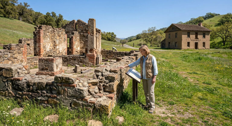
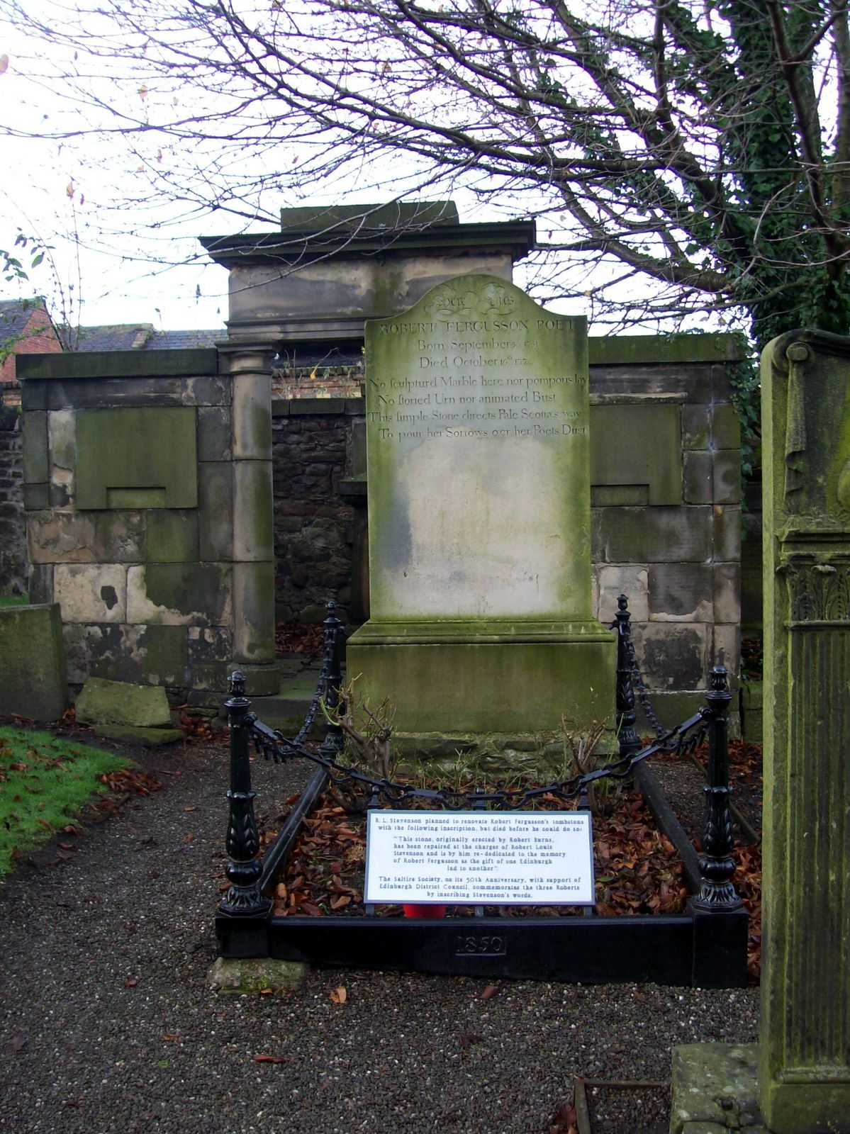
Robert Louis Stevenson State Park covers 5,200 acres of undeveloped volcanic terrain, named for the author who honeymooned in a cabin here in 1880 and later wrote about the experience in “The Silverado Squatters.” The park remains genuinely undeveloped by state park standards: no visitor center, no paved paths, just fire roads and single-track through volcanic terrain.
Mount St. Helena Summit Trail: Napa County’s most rewarding hike
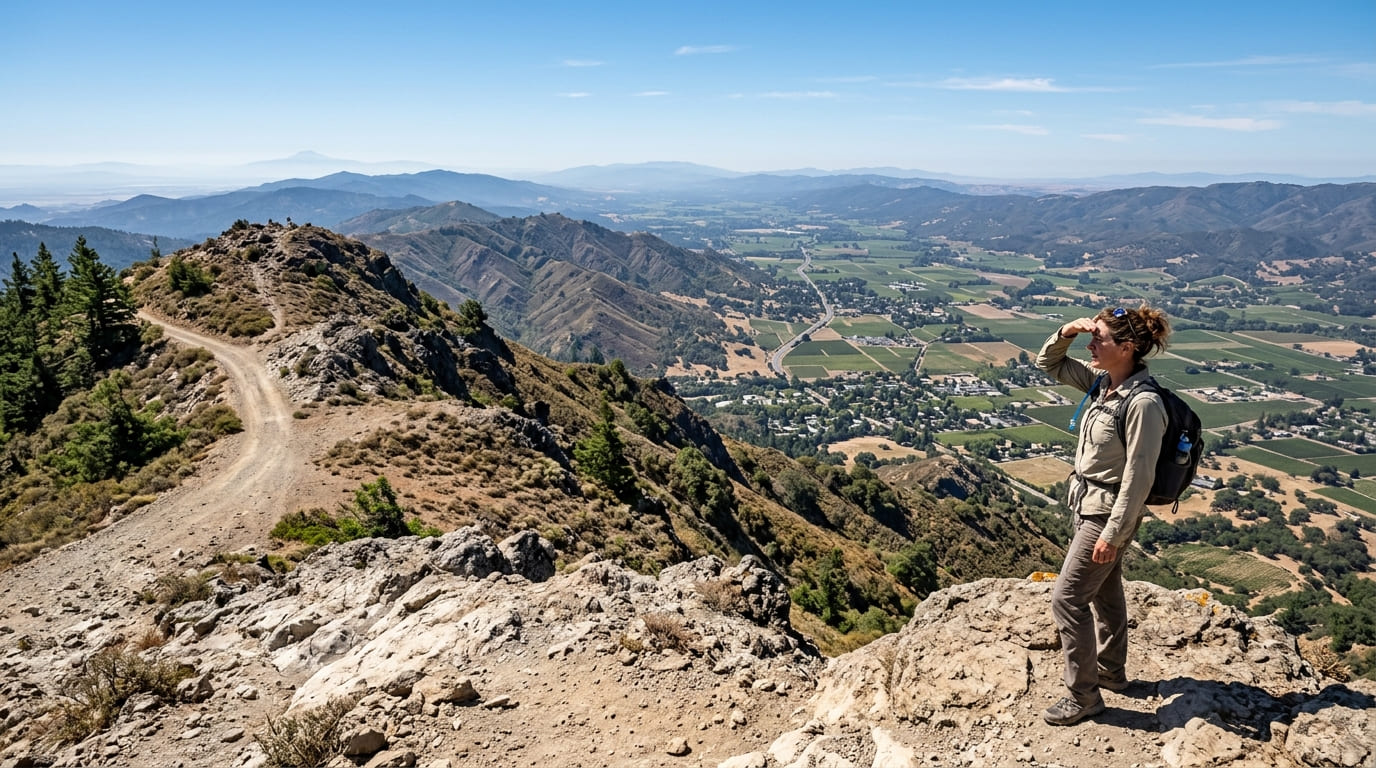
A roughly 10-mile round trip with about 2,100 ft of gain, climbing toward the summit region shared by Napa, Sonoma County, and Lake County along a steady, mostly non-technical fire road. The mountain’s summit, North Peak (4,343 ft), straddles the county line and serves as the highest point in Napa County, delivering panoramic views across Northern California.
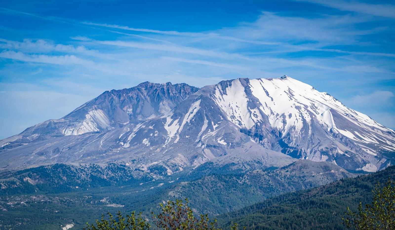
On a clear day, the views reach the Sierra Nevada, the Golden Gate, and even Mount Shasta to the north, a genuinely rare panorama for a Bay Area hike. No fee or reservation is required, and parking is primitive roadside space on Highway 29 near Calistoga, which can fill on weekends despite the trail’s relative obscurity.
Stevenson Monument Trail: RLS Park’s best short literary history hike
A 2.2-mile round trip with about 500 ft of gain to the site of Stevenson’s honeymoon cabin, marked by a rustic monument in a Douglas fir forest. It connects directly to the main Summit Trail at a junction partway up, making it easy to extend into a longer hike if the history stop alone doesn’t satisfy.
Best hiking trails at Lake Berryessa, Napa County
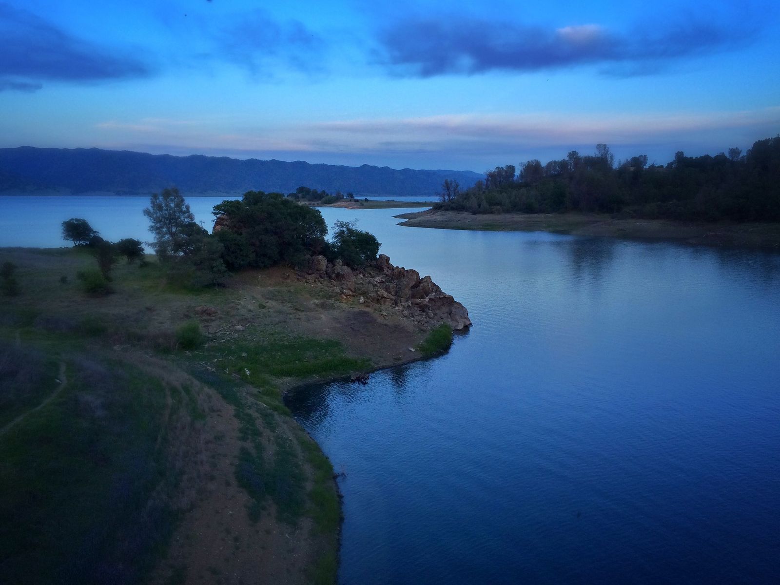
Lake Berryessa is Napa County’s largest lake and one of California’s larger reservoirs, managed by the U.S. Bureau of Reclamation, with roughly 165 miles of shoreline formed after the Monticello Dam’s completion in the early 1960s. Most visitors come for boating and water sports, which leaves the hiking access genuinely uncrowded even in peak summer.
Knoxville Wildlife Area: Napa County’s best undiscovered backcountry hike
A 21,000+ acre state wildlife area managed by the California Department of Fish and Wildlife (CDFW) north of the reservoir, centered on Walker Ridge (the area’s best viewpoint) and the Blue Ridge Trail. Spring wildflowers can reach superbloom intensity in good rain years, tule elk and black bear sightings are common, and no permit is required, though the primitive BLM roads to the trailhead call for a higher-clearance vehicle and real navigation planning before you go, since this is genuinely remote terrain without cell coverage in most spots.
Best hiking trails in Skyline Wilderness Park, Napa city
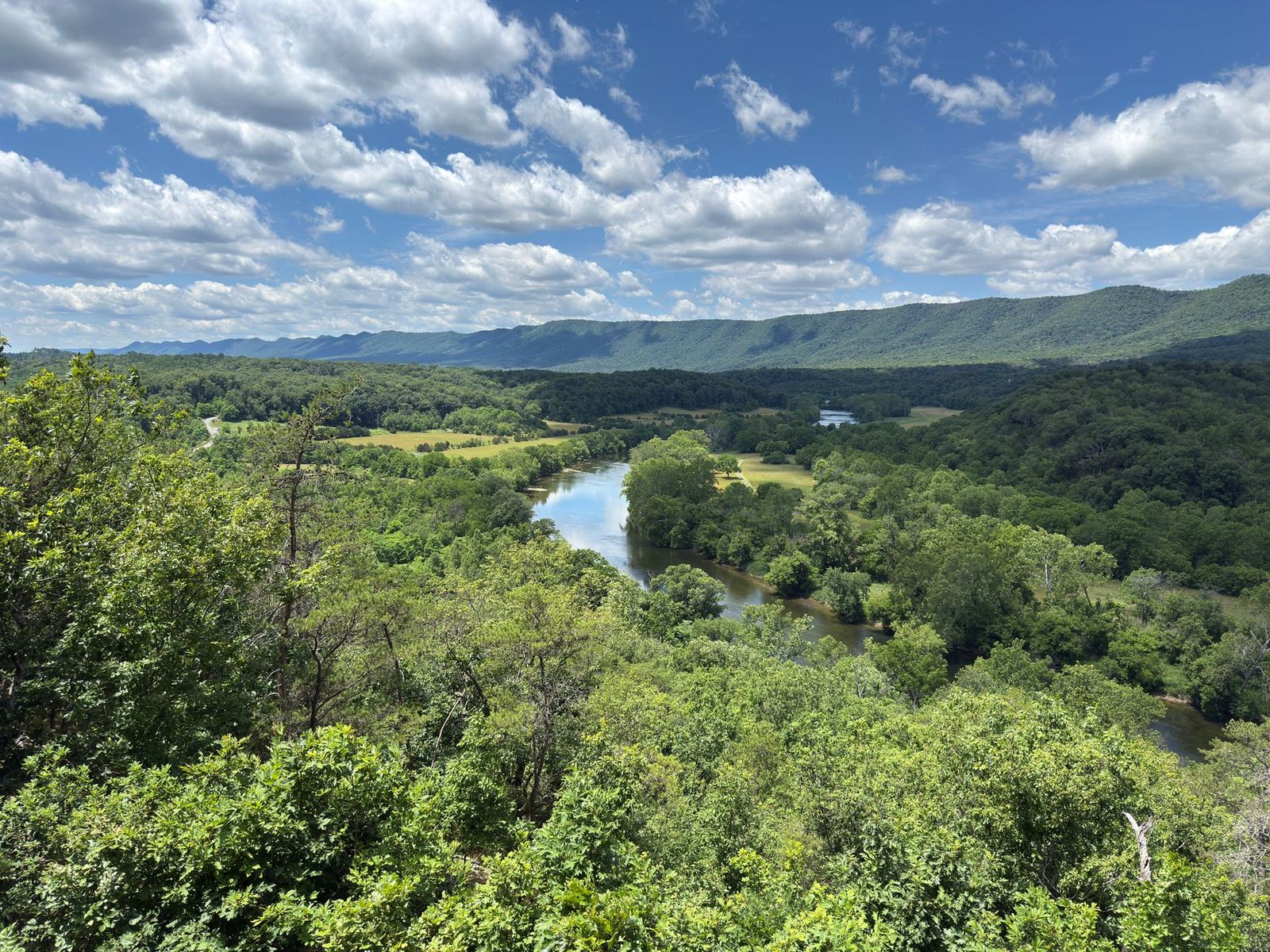
Skyline Wilderness Park covers 850 acres directly above the city of Napa, featuring 25 miles of trail managed by the non-profit Skyline Park Citizens Association, genuinely close enough to reach on a lunch break if you’re staying in town.
Manzanita Trail: Skyline Wilderness Park’s best valley view hike
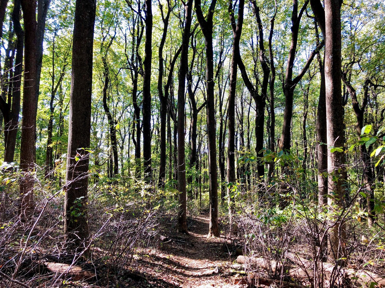
A 5-mile loop with about 800 ft of gain, delivering views across Napa Valley, Mount Tamalpais, and the Mayacamas Range, and passing the Martha Walker Native Habitat Garden along the way. Spring wildflowers peak March through April, and a $5 entry fee applies with no reservation needed; it’s one of the most accessible real hikes in the county for anyone based in downtown Napa without a car built for backcountry roads.
Best Palisades and volcanic trails in Napa County
The Palisades, a volcanic basalt formation above Calistoga, add a genuinely different hiking character from the rest of the county, sharper, rockier terrain shaped by the same volcanic activity that built Mount St. Helena, with dramatic cliff faces visible from town.
Oat Hill Mine Trail: Napa County’s best Calistoga day hike
An 8-mile round trip from downtown Calistoga with about 1,800 ft of gain, following a former mercury mine road built in 1874 to serve the mining operations that once worked this hillside. The rocky, uneven surface and volcanic rock formations along Palisades Canyon make this one of the county’s more historically interesting hikes, starting right from the Silverado Trail in town, no drive required if you’re already staying in Calistoga.
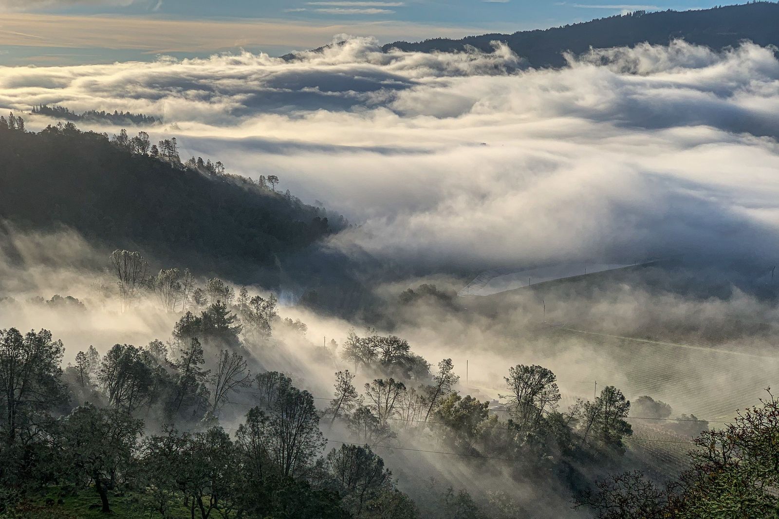
Best Napa Valley wine country hiking: where vineyards meet trails
A handful of Napa wineries genuinely combine hiking with wine tasting, a pairing fairly unique to this county among California wine regions. Stag’s Leap Wine Cellars offers trail access alongside its tasting program, Castello di Amorosa pairs vineyard walking with its medieval castle grounds, and Di Rosa combines an art and nature preserve with genuine hiking trails through sculpture-dotted grounds.
This is the rare combination where a short walk actually deepens the tasting experience rather than just working off the wine afterward. Bring the same sun protection and water you’d carry on any other Napa trail; a wine-country hike is still a real hike, even with a tasting room at the end of it, and summer heat in the valley is genuine.
Napa rewards visitors willing to look past the tasting rooms; Mount St. Helena alone delivers the best view in the entire Bay Area, and Lake Berryessa and Skyline Wilderness Park both offer genuine hiking within a short drive of any winery on your itinerary.
Check current fire risk and trail conditions before a summer trip, since much of this terrain is exposed chaparral and volcanic rock with minimal shade, and the same dry conditions that make Napa’s grapes so good also make its hillsides genuinely fire-prone in late summer and fall.
Frequently asked questions about hiking trails in Napa County
What are the best hiking trails in Napa Valley?
Mount St. Helena for the best summit view in the Bay Area, Skyline Wilderness Park’s Manzanita Trail for an easy valley-view loop close to the city, and the Oat Hill Mine Trail for the county’s most historically interesting day hike. All three are within a short drive of most Napa Valley tasting rooms.
How many hiking trails are in Napa Valley?
More than 150 miles of trail across the county, spread between Robert Louis Stevenson State Park, Lake Berryessa’s BLM lands, Skyline Wilderness Park, and the Palisades, far more than the wine-tourism reputation suggests, and most of it genuinely uncrowded.
How hard is the Mount St. Helena hike in Napa County?
Genuinely strenuous, about 10 miles round trip with roughly 2,100 ft of elevation gain on an exposed fire road with little shade. The grade stays consistent rather than punishingly steep, but the distance and sun exposure add up over a full day.
Is there hiking near Lake Berryessa in Napa County?
Yes, the state-managed Knoxville Wildlife Area and nearby BLM public lands north of the lake offer genuine backcountry hiking, including Walker Ridge and the Blue Ridge Trail, with no permit required, though the access roads call for real planning.
Are there free hiking trails near Napa city?
Yes, Robert Louis Stevenson State Park and the Oat Hill Mine Trail near Calistoga are both free with no reservation. Skyline Wilderness Park charges a modest $5 entry fee, one of the lowest day-use fees in the county.
Can I combine hiking and wine tasting in Napa Valley?
Yes, at a handful of wineries specifically, Stag’s Leap Wine Cellars, Castello di Amorosa, and Di Rosa all offer trail access alongside their tasting programs, a combination fairly unique to Napa among California wine regions.