Hiking Trails in Stanislaus County, California: Complete Trail Guide
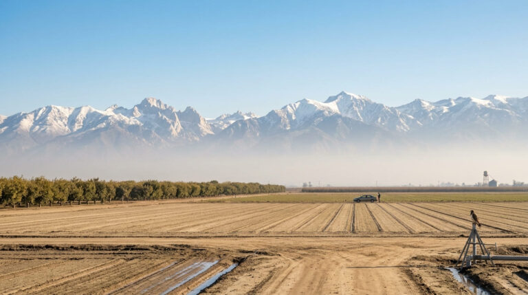
Though much of the area is Central Valley agricultural land centered on Modesto, its outer edges hold the most notable hiking trails in Stanislaus County: a foothill canyon system near the Diablo Range, a historic river crossing on the Stanislaus River, and a reservoir with flat lakeside trails. None of it competes with the Sierra Nevada for drama, but all three are worth a stop for anyone in the area.
Disclosure: Please note that some of the links below are affiliate links and at no additional cost to you, I may earn a commission. Know that I only recommend hiking gear I personally stand behind; when you use my affiliate links, it helps me run this blog and keep all of this content free of charge for readers (like you).
Hiking in Stanislaus County: river trails and Sierra foothill access
Stanislaus County’s best hiking sits at its margins rather than its agricultural core: Frank Raines Regional Park in the Diablo Range foothills near Patterson, Knights Ferry along the Stanislaus River, and Turlock Lake State Recreation Area near La Grange. Modesto itself, the county seat, functions as the practical base for reaching any of these, none of which sit more than an hour’s drive away. That same Central Valley river network extends north into the hiking trails in San Joaquin County.
Best hiking trails at Frank Raines Regional Park, Stanislaus County
Frank Raines Regional Park covers 1,500 acres in the Del Puerto Canyon area near Patterson, which features a 36-mile trail system. While these are predominantly OHV (off-highway vehicle) routes, hikers have their own dedicated trail sections separate from motorized use.
Del Puerto Canyon Trail: Stanislaus County’s best foothill day hike
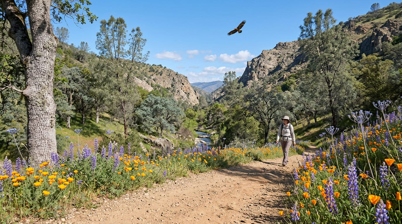
A 2-mile round trip from the park with about 711 ft of gain through Del Puerto Creek canyon, passing blue oak and grey pine woodland with a spring wildflower show: poppies, lupine, and blue dicks typically peak March through April, turning the canyon colorful for a few weeks each year.
Golden eagles and red-tailed hawks are regularly spotted overhead, a nice bonus for anyone who pays attention to raptors while hiking. A $6 day-use fee applies, and the park sits adjacent to an OHV area, though hikers have dedicated trail sections separate from motorized use.
Be mindful of terrain hazards and exposed rocky paths along the steeper canyon segments. Best October through May; summer valley heat makes this stretch uncomfortable by midday, with little shade across most of the canyon’s open sections.
Best hiking trails along the Stanislaus River, Stanislaus County
The Stanislaus River corridor adds history to the county’s hiking options, anchored by one of the most significant surviving structures from California’s Gold Rush era.
Knights Ferry River Trail: Stanislaus County’s best historic riverside walk
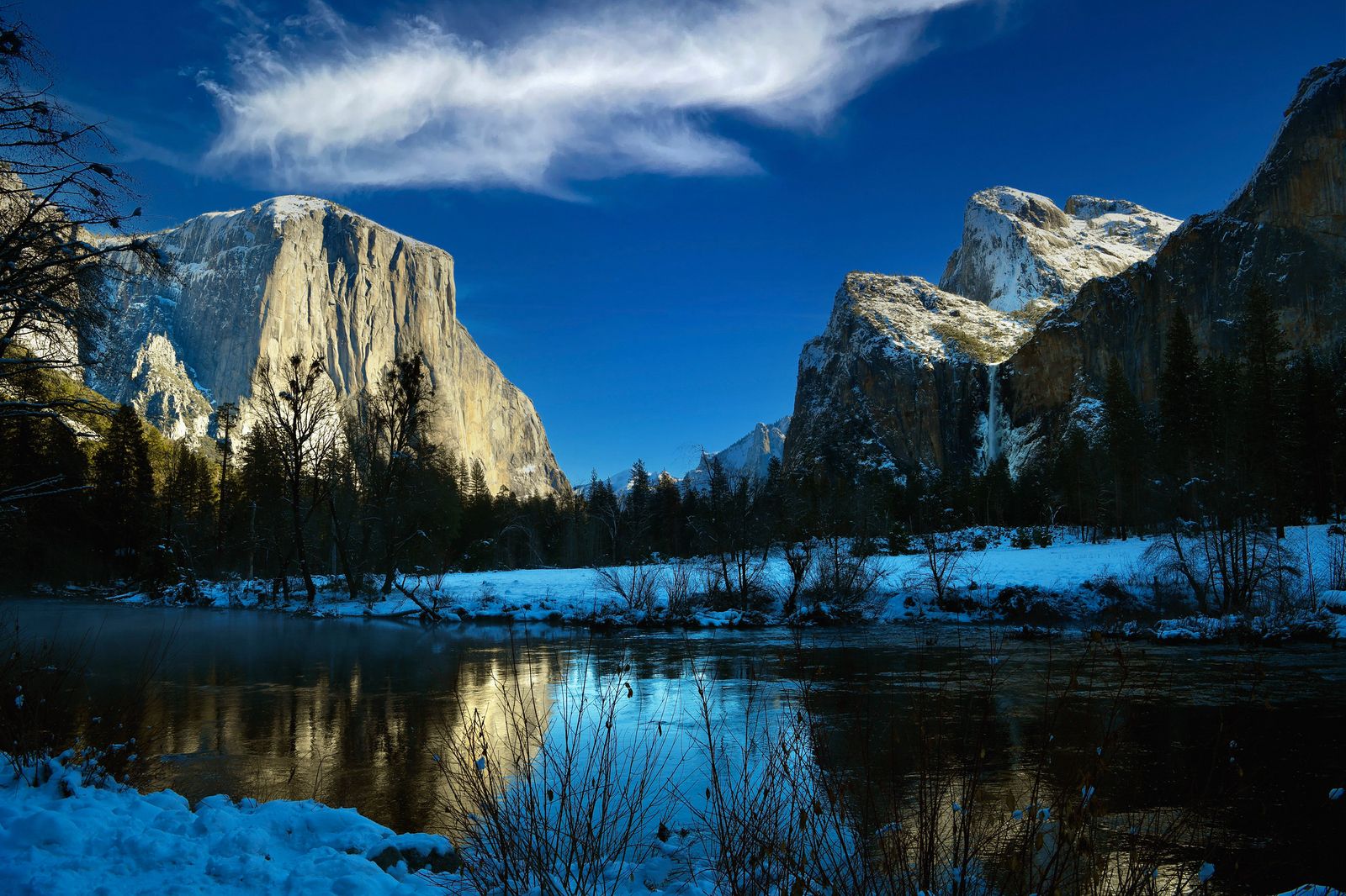
Knights Ferry Recreation Area, managed by the U.S. Army Corps of Engineers, offers about 1.5 miles of river trail alongside the historic Knights Ferry covered bridge, built in 1863 and, at roughly 330 ft, long recognized as the longest covered bridge west of the Mississippi River, a National Historic Landmark since 2012.
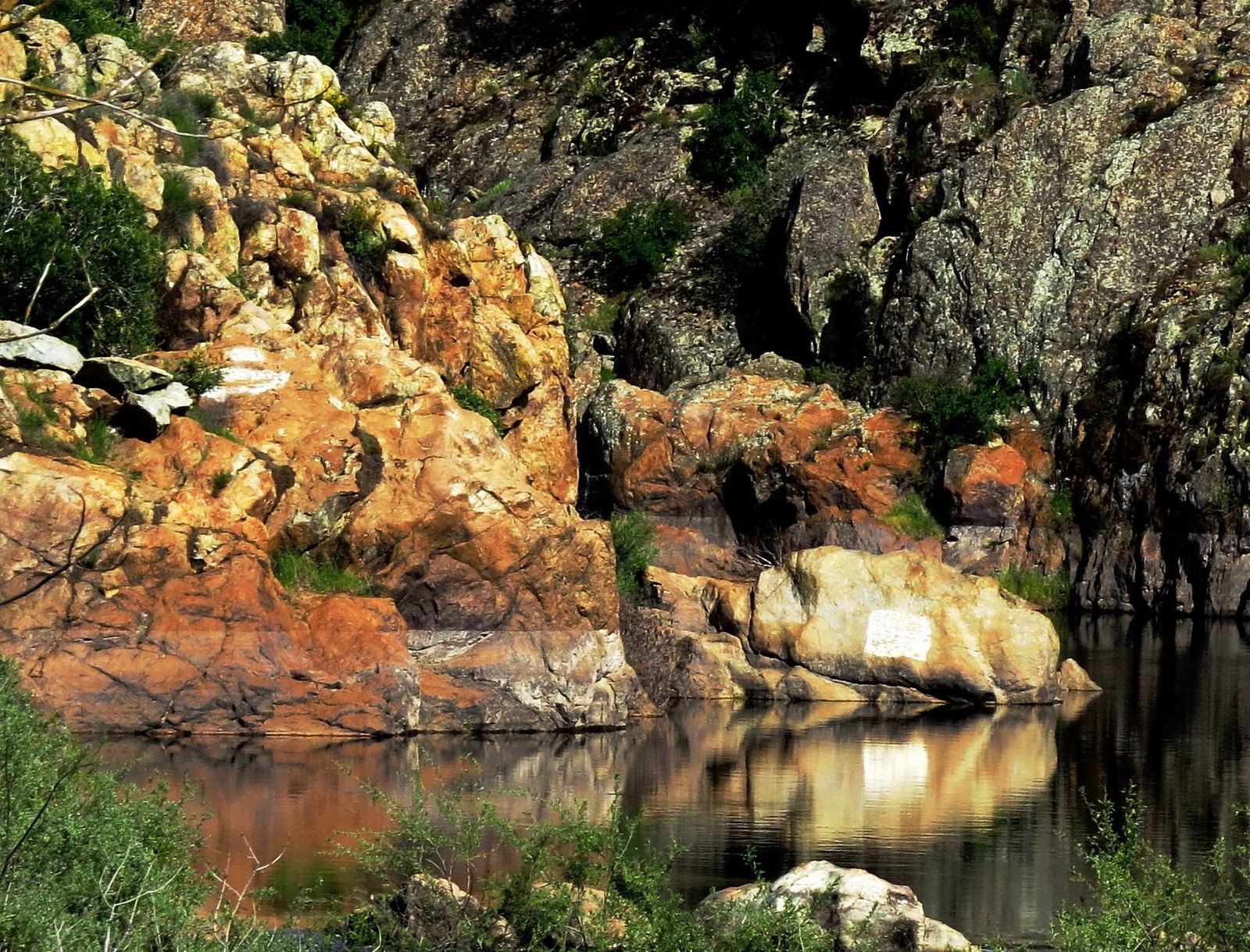
The bridge’s footpath was reported closed for renovation as of summer 2025; check current status before planning a visit specifically around walking across it, since the surrounding recreation area and river trail remain open regardless of what’s happening with the bridge itself. Summer swimming holes line the Stanislaus River here; access is free with no reservation, and the trailhead sits off Highway 108.
Two other options round out river access in the county: Horseshoe Road Recreation Area near Oakdale (offering river access and primitive camping) and the paved 1-mile McRitchie Trail at Jacob Myers Park in Riverbank, both offering easier, flatter alternatives to the historic site for anyone who’d rather stay closer to town.
Best hiking trails at Turlock Lake State Recreation Area, Stanislaus County
Turlock Lake sits near La Grange, closer to Don Pedro Reservoir than to Modesto itself, and only a short drive from Merced County to the south. It offers a different pace than either Frank Raines or Knights Ferry: flat, easy, and built more around a relaxed lakeside walk than a workout.
Turlock Lake Shoreline Trail: Stanislaus County’s best easy reservoir hike
A 2.5-mile round trip, flat, combining lakeside walking and oak woodland around this 3,500-acre reservoir near La Grange. Fishing spots are accessible right off the trail, waterfowl viewing peaks in fall and winter, and deer sightings are common along the wooded sections.
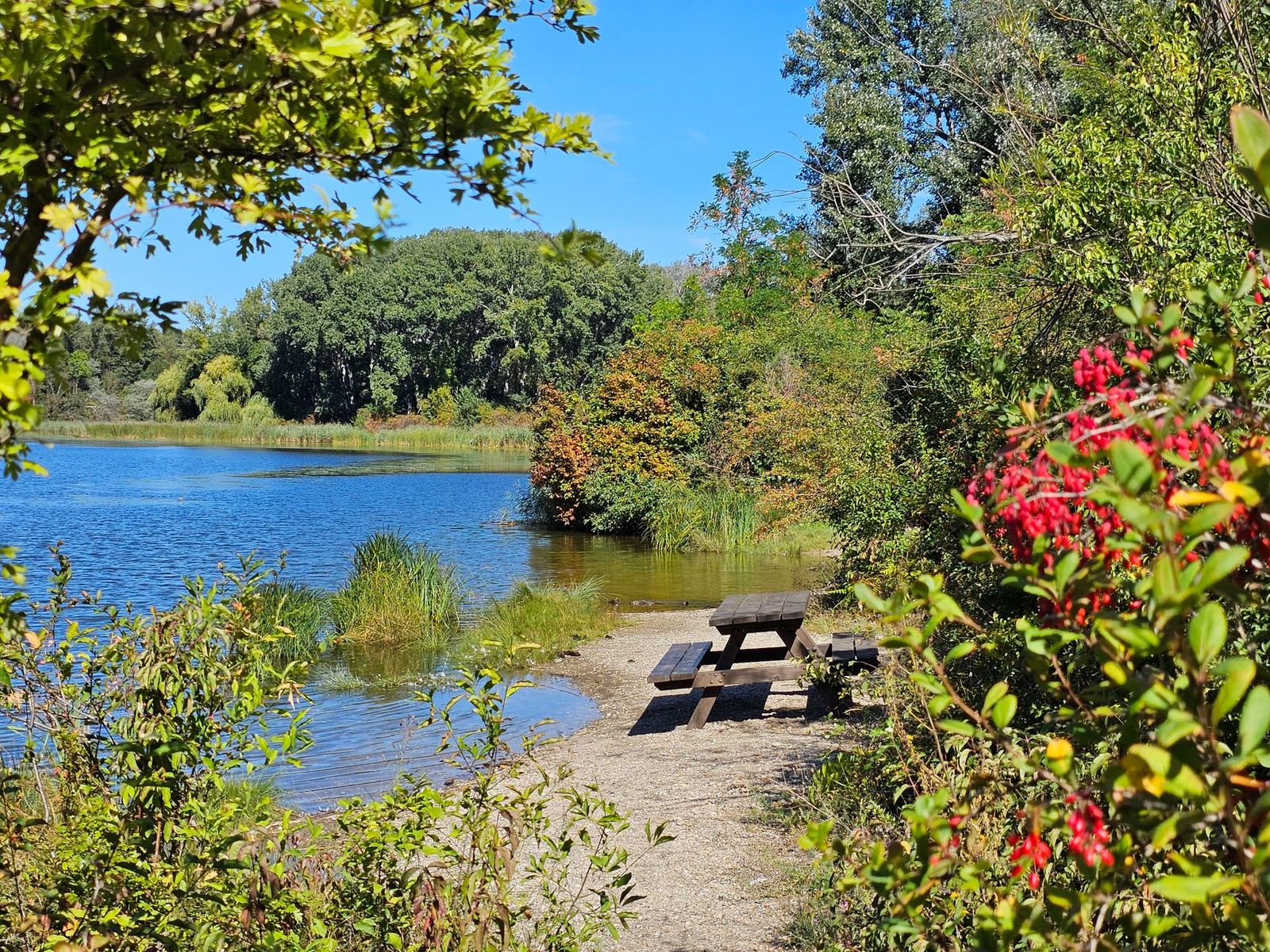
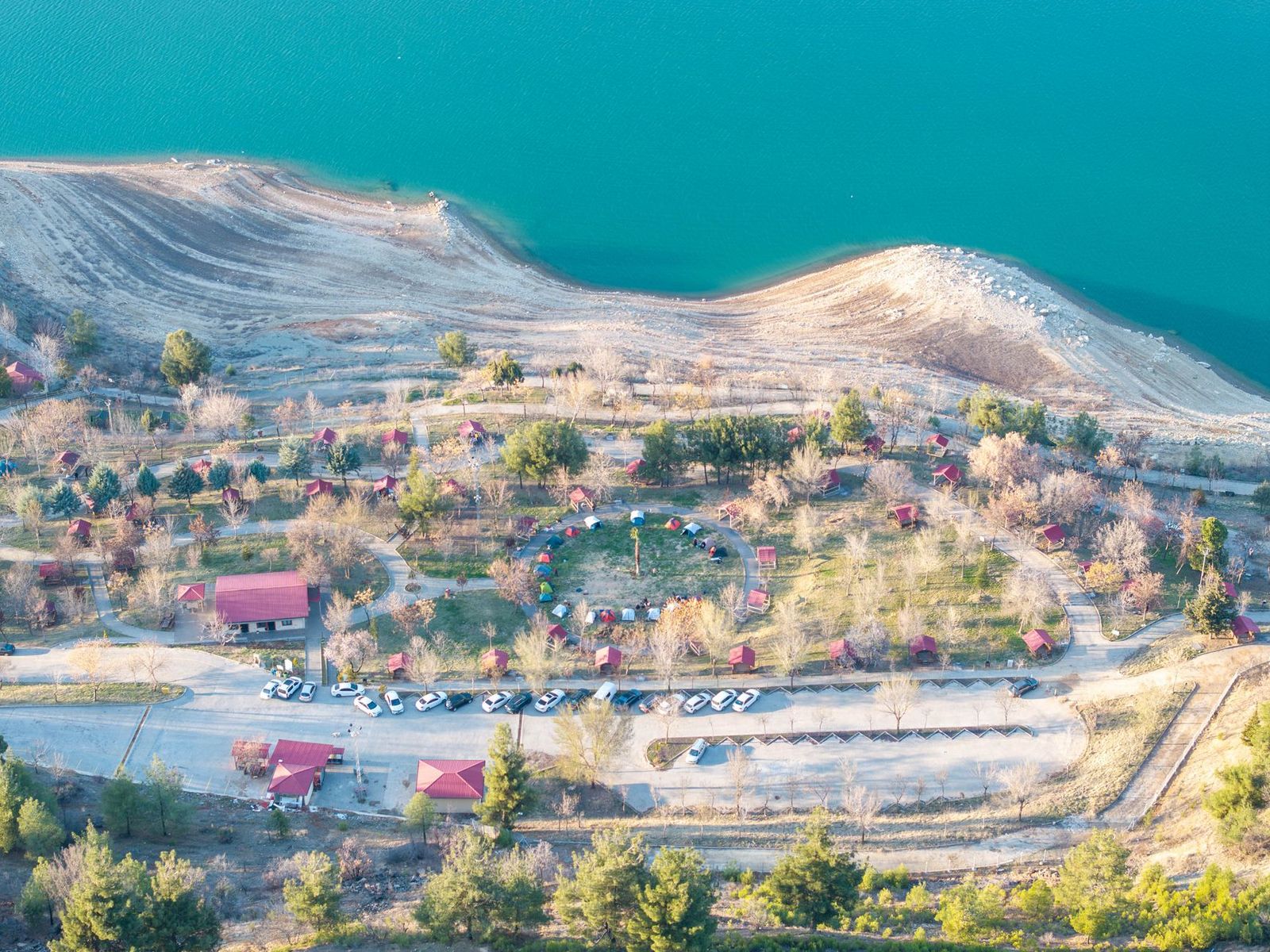
A $10 day-use fee applies, with a campground adjacent for anyone extending the visit into an overnight stay. Best September through May; summer weekends bring water-skiing traffic and noise that can undercut the quieter appeal of the trail, so plan around that if a peaceful lakeside walk is the goal.
Stanislaus County rewards looking past Modesto’s agricultural core: Frank Raines’ foothill canyon, Knights Ferry’s river history, and Turlock Lake’s easy shoreline trail all offer reasons to hike here rather than just pass through. If you’re mapping out an itinerary, our guide on how to plan a California day hike offers practical advice on trip pacing.
Check current conditions before any river swimming stop, since Stanislaus River flow and water levels shift with upstream dam releases more than the calendar alone would suggest, and confirm current bridge and trail status at Knights Ferry before building a whole trip around seeing the historic crossing specifically.
Frequently asked questions about hiking trails in Stanislaus County
What hiking trails are near Modesto, California?
Frank Raines Regional Park (Del Puerto Canyon) is the most substantial trail system near Modesto, with Knights Ferry and Turlock Lake both a reasonable drive away for river and lake hiking respectively; none of the three require more than an hour or so from downtown.
Is there a hiking trail along the Stanislaus River?
Yes, Knights Ferry Recreation Area offers about 1.5 miles of river trail alongside the historic covered bridge, plus Horseshoe Road Recreation Area and the paved McRitchie Trail at Jacob Myers Park elsewhere along the river for a shorter, more casual outing.
What is Frank Raines Regional Park and is it good for hiking?
It’s Stanislaus County’s best trail system by a wide margin: 1,500 acres and 36 miles of trail through Del Puerto Canyon’s oak woodland and grassland, with hikers getting dedicated sections separate from the park’s adjacent OHV area.
When do wildflowers bloom at Frank Raines Park near Modesto?
Typically March through April, with poppies, lupine, and blue dicks putting on the best show along the Del Puerto Canyon Trail specifically, though exact timing shifts year to year with winter rainfall and can vary by a few weeks.
Can I hike near the Knights Ferry covered bridge in Stanislaus County?
Yes, via the recreation area’s river trail, though the bridge’s own footpath was reported closed for renovation as of summer 2025; confirm current status before planning a visit around crossing the bridge itself rather than just viewing it from the riverbank.
What is the best easy hiking trail in Stanislaus County?
The Turlock Lake Shoreline Trail is the most beginner-friendly option: 2.5 miles, flat, combining lake views and oak woodland with minimal elevation change, and a campground nearby if you want to extend the visit into an overnight stay.