5 Best Waterfall Hikes in Tuolumne County, From a 1,400-Foot Cascade to a Free Roadside Swimming Hole
Waterfall Hiking Trail in Tuolumne County comes from two genuinely different water sources: reservoir-fed cascades at Hetch Hetchy, covered from the entrance-corridor angle in guide, and free-flowing river falls elsewhere in the county, including one you can reach without ever paying to enter Yosemite at all. This guide pulls together the best of both, plus a high-country stretch of the Tuolumne River near Tuolumne Meadows and a section of the same Yosemite National Park trail system covered park-wide elsewhere on this site. I want to be upfront: two of these five trails have real, documented safety histories I’m not going to soften, because the information matters more than making every entry sound equally inviting.
Disclosure: Please note that some of the links below are affiliate links and at no additional cost to you, I may earn a commission. Know that I only recommend hiking gear I personally stand behind; when you use my affiliate links, it helps me run this blog and keep all of this content free of charge for readers (like you).
Key takeaways
- Most iconic, and the one requiring real caution: Wapama Falls, a spectacular 1,400-foot cascade crossed by footbridges that have a documented history of sweeping hikers to their deaths during high water.
- Best backpacking extension: Rancheria Falls, a quieter, more remote waterfall well beyond the Wapama Falls day-hike crowd, typically done as an overnight trip.
- Best high-country waterfall hike: Tuolumne Falls and White Cascade, a long, gently graded trail along the Tuolumne River near Glen Aulin.
- Most secluded: Preston Falls, a cascade on the main Tuolumne River, well off the more heavily trafficked corridors.
- Best free, easy option, with its own real safety history: Rainbow Pool, a roadside swimming hole popular enough that rangers actively warn visitors about it.
- Water in this county is either reservoir-controlled (Hetch Hetchy) or snowmelt-driven (everywhere else), and both come with real seasonal danger, read the timing section on each trail, not just the distance.
How these five waterfall hikes compare
| Trail | Round-trip distance | Elevation gain | Difficulty | Best for |
|---|---|---|---|---|
| Wapama Falls | ~5.5 mi | ~1,200 ft | Moderate | Iconic falls, real safety history |
| Rancheria Falls | ~13 mi | ~2,000 ft | Strenuous (backpacking) | Quiet, remote extension |
| Tuolumne Falls & White Cascade | ~10.5-12 mi | ~700 ft loss/gain | Strenuous (distance) | High-country river cascades |
| Preston Falls | ~4.3-8.6 mi | ~300-600 ft | Moderate | Seclusion, main-river falls |
| Rainbow Pool | Under 0.25 mi | Minimal | Very easy | Free roadside swimming hole |
Wapama Falls Trail
I want to lead with the safety information on this one, because it matters more than the scenery does, and the scenery is genuinely spectacular.
Trailhead access and parking at the Hetch Hetchy Entrance Station
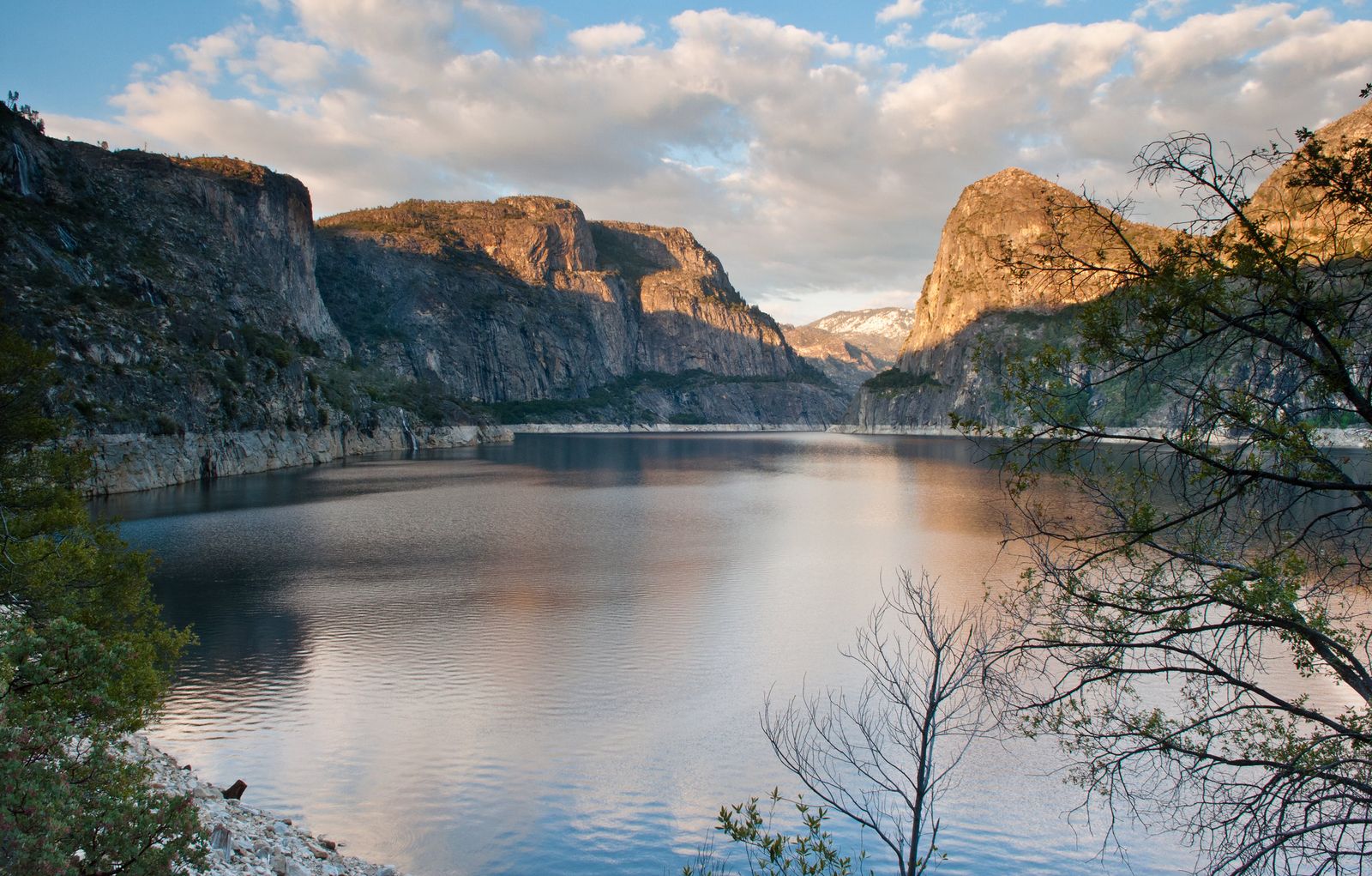
This trail shares the same entrance station and O’Shaughnessy Dam crossing as detailed in our Hetch Hetchy and Wapama Falls guide, then continues much farther along the reservoir’s edge. No day-use reservation is currently required in 2026, though this has changed in past years; check current park alerts before you go.
Difficulty, distance and elevation gain to Wapama Falls
Plan on about 5.5 miles round trip with roughly 1,200 feet of elevation gain, crossing several footbridges over Falls Creek along the way, a moderate profile by mileage alone, though the real difficulty on this trail isn’t physical.
What you’ll see: a multi-hundred-foot waterfall crossed by footbridges, and a real safety history
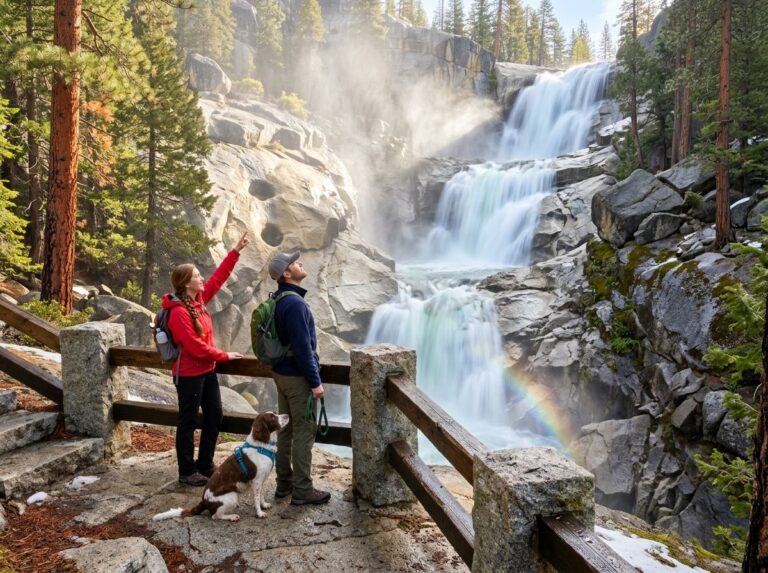
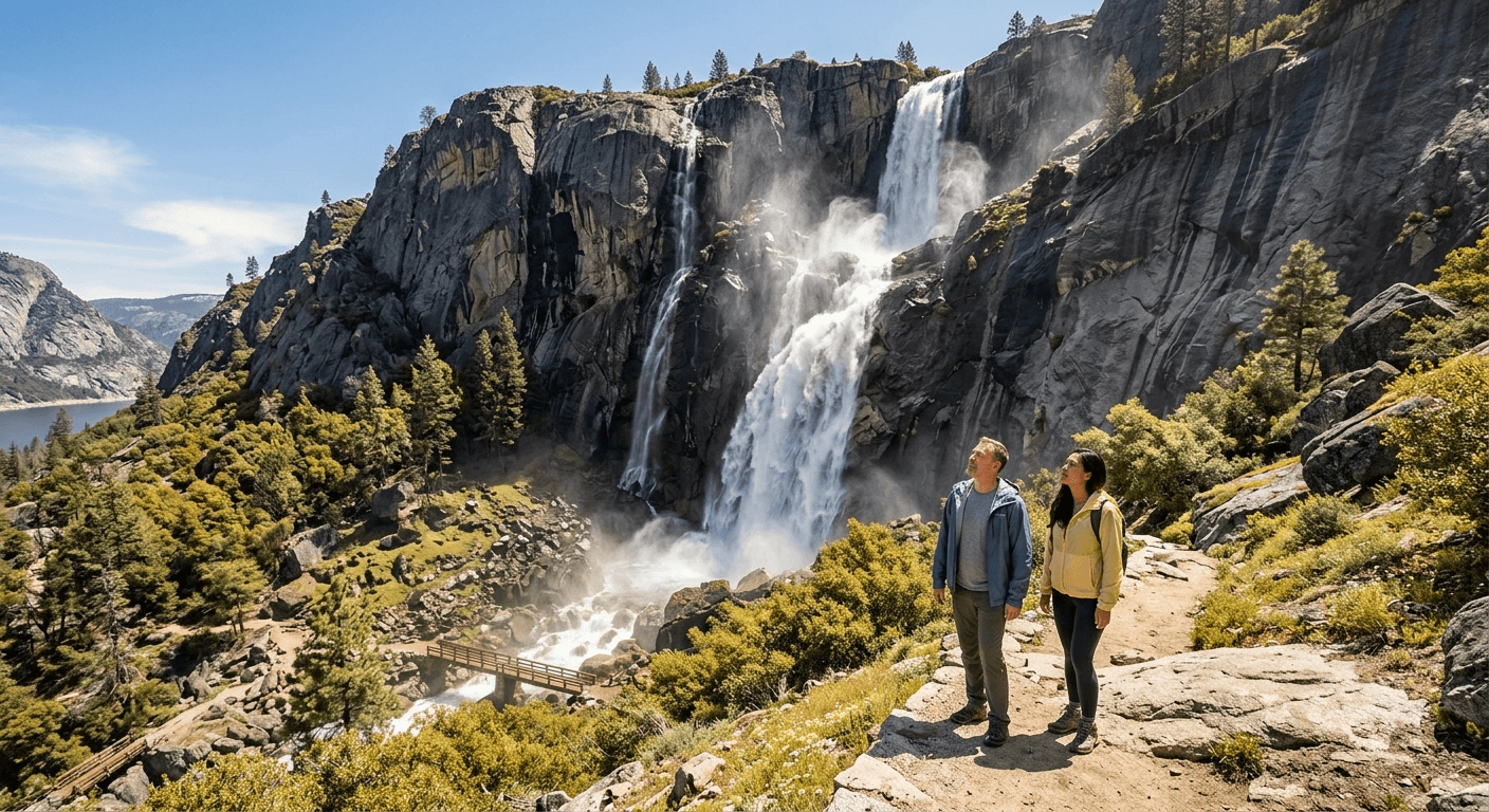
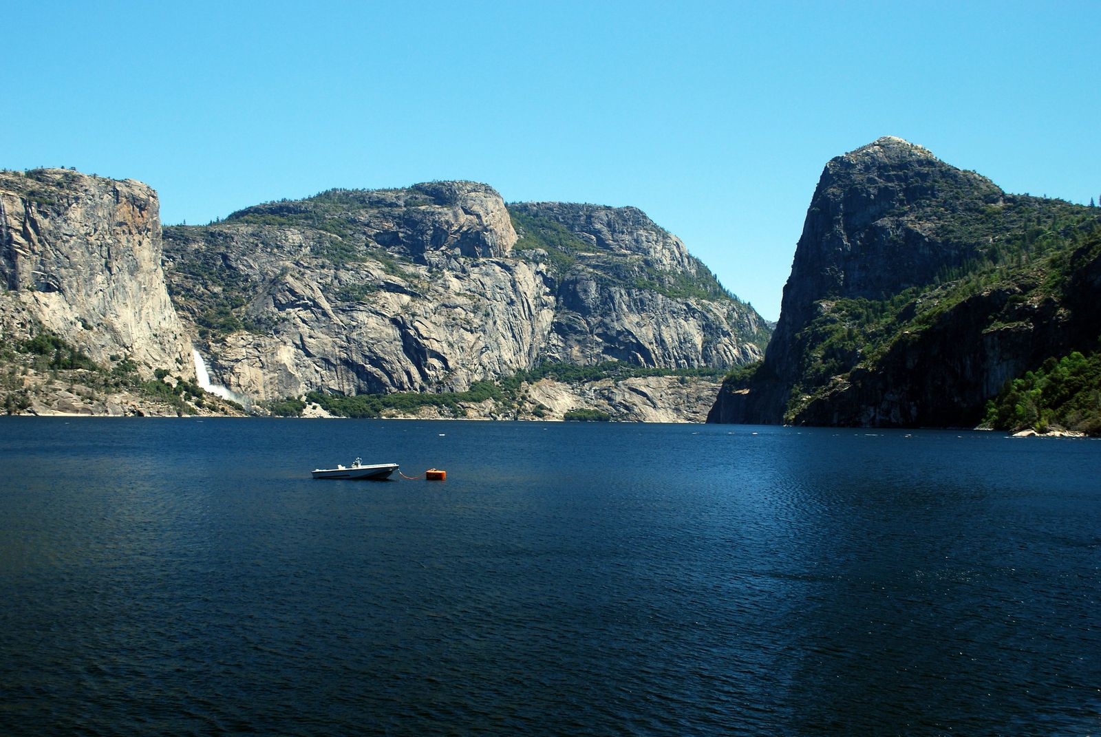
Wapama Falls drops about 1,400 feet in multiple tiers (with another roughly 400 feet now submerged beneath the reservoir), and the trail crosses directly through its spray zone on a series of wooden footbridges, genuinely one of the most dramatic waterfall encounters in the entire Sierra Nevada.
Here’s what I won’t soften: at least four hikers have died being swept off these footbridges during high water since 2011, most recently in 2017 and 2019, all during periods of heavy spring snowmelt when Falls Creek surges over the bridge decking itself.
The National Park Service has since undertaken bridge safety improvements, including realigning the most dangerous span, but the underlying hazard, fast, cold, powerful water crossing a narrow footbridge, hasn’t gone away. Our water hazards on California trails guide covers this kind of river-crossing danger in more depth.
Best time to hike Wapama Falls: spring for peak flow, but check bridge conditions first
Spring delivers the most spectacular flow, and it’s also when the footbridges are most likely to be dangerously inundated. Posted signs at the bridges warn hikers directly: if water is visibly flowing over the bridge decking, or if the spray and noise are so intense you can’t communicate with your hiking partner, turn around.
This isn’t a judgment call worth making under pressure at the bridge itself, decide before you go, based on current flow reports, not after you’ve already hiked most of the way there.
Rancheria Falls Trail
If Wapama Falls left you wanting more distance and fewer people, this is the extension, the same trailhead, continuing several miles further into genuinely remote terrain.
Trailhead access and parking at the Hetch Hetchy Entrance Station
Same entrance station and dam crossing as Wapama Falls, but this is a fundamentally different commitment, most hikers treat this as an overnight backpacking trip rather than a long day hike.
Difficulty, distance and elevation gain to Rancheria Falls
Expect roughly 13 miles round trip with about 2,000 feet of elevation gain, the longest waterfall trail in this entire guide, and one best planned as a one- or two-night trip rather than attempted as a single-day push.
What you’ll see: a quieter, more remote waterfall beyond Wapama Falls
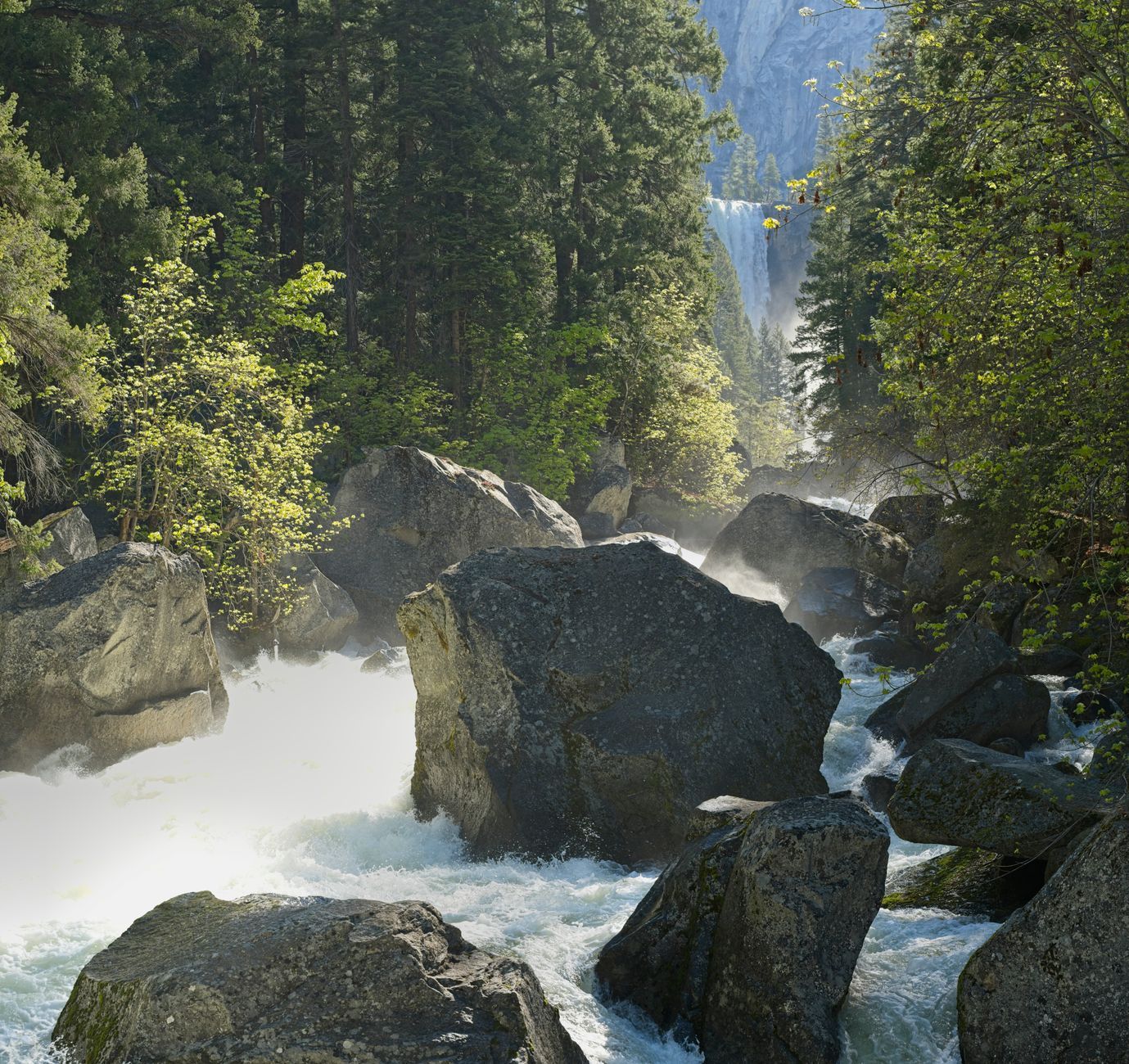
Past the Wapama Falls crowds, the trail settles into genuine backcountry quiet, reaching Rancheria Falls and a designated backcountry campsite well beyond where most day hikers turn around, the wilderness extension of the same Hetch Hetchy reservoir hike, for people who want more solitude than the first few miles offer.
Best time to hike Rancheria Falls: a longer alternative for backpackers
A wilderness permit is required for the overnight stay (not for a day hike, if you’re ambitious enough to attempt the full distance in one push), available through Yosemite’s standard wilderness permit system. Spring and early summer bring the most water in the falls themselves, though the trail is genuinely walkable across a long season.
Tuolumne Falls & White Cascade Trail (via Glen Aulin)
This is the high-country counterpart to the Hetch Hetchy waterfalls, a different watershed, a different elevation band, and a genuinely different hiking experience along the same Tuolumne River system.
Trailhead access and parking at the Tuolumne Meadows Stables/Glen Aulin Trailhead
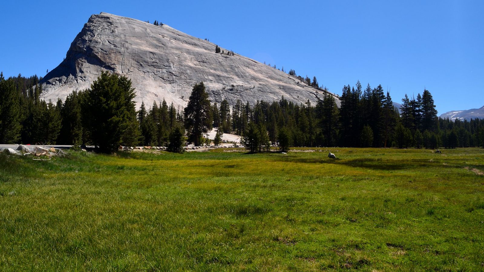
Park near the stables by Lembert Dome, the same general Tuolumne Meadows area covered in guide 1, but a distinct trailhead from the Cathedral Lakes or Dog Lake access points covered there.
Difficulty, distance and elevation gain to Tuolumne Falls
Plan on roughly 10.5 to 12 miles round trip to reach both Tuolumne Falls and White Cascade at Glen Aulin, with about 700 feet of elevation loss on the way out (all regained on the return climb), a long trail, but gently graded for most of its length, following the Tuolumne River downstream the entire way.
What you’ll see: a series of cascades along the Tuolumne River’s high-country stretch
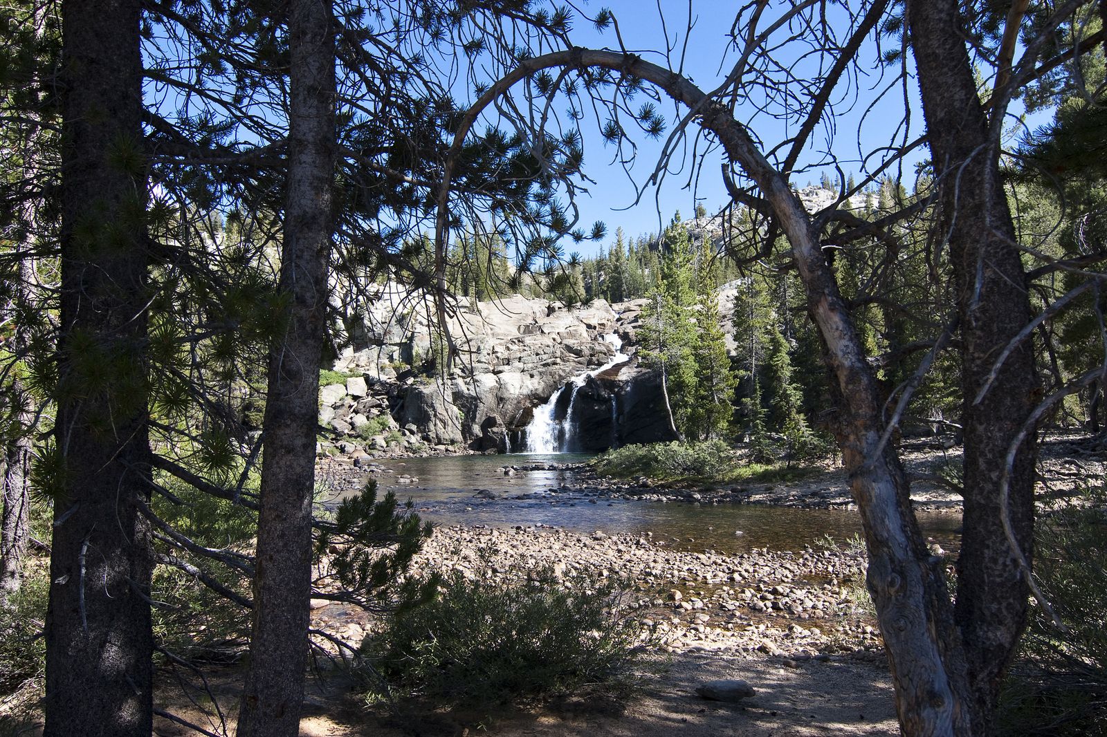
Tuolumne Falls and White Cascade are both roughly 50 feet tall, part of a chain of granite-slab cascades that gets more dramatic as the calm meadow river transforms into rapids on its way toward Glen Aulin High Sierra Camp. Camp operations and availability can vary year to year, so if you’re planning to stay overnight rather than day-hike, confirm current status before you go.
Best time to hike Tuolumne Falls: midsummer, once Tioga Road is open for the season
This trail shares the same seasonal constraint as every other Tuolumne Meadows-area trail in this series: Tioga Road has to be open to reach the trailhead at all, typically sometime between late May and early July depending on snowpack.
Preston Falls Trail
This closes out the Tuolumne River falls with the most secluded entry in this guide, a cascade on the river’s main stem, well away from both the Hetch Hetchy and Tuolumne Meadows crowds.
Trailhead access and parking near Cherry Lake Road, Early Intake
The trailhead sits at the Early Intake facility off Cherry Lake Road, a genuinely obscure Forest Service access point with no services of any kind, no water, no signal past Buck Meadows, nothing but the trailhead itself.
Difficulty, distance and elevation gain to Preston Falls
Distance varies meaningfully by source and exact turnaround point, anywhere from about 4.3 to 8.6 miles round trip, with 300 to 600 feet of elevation change along the way. Whichever figure applies to your planned route, this is a long, mostly flat riverside walk rather than a climb.
What you’ll see: a secluded waterfall along the main Tuolumne River
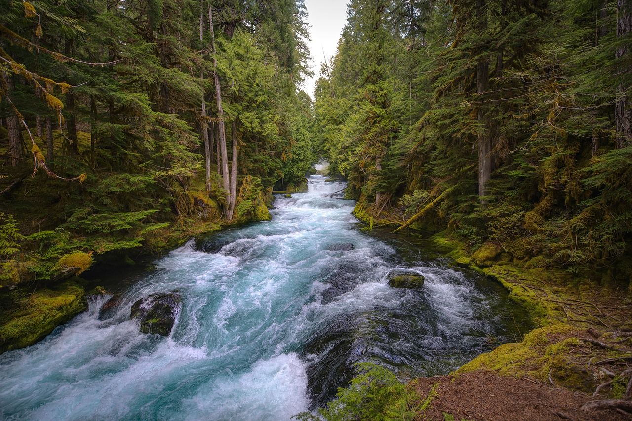
Unlike the tributary-fed falls elsewhere in this guide, Preston Falls sits directly on the main stem of the Tuolumne River, with emerald pools below cascading over granite boulders, genuinely one of the least-crowded trails in this entire county series. This trail is also part of Stanislaus National Forest, covered in more depth elsewhere in this batch, rather than Yosemite National Park itself, which means leashed dogs are welcome here.
Best time to hike Preston Falls: spring for water volume, summer for swimming
Spring brings the strongest flow; by summer, water levels drop but the pools warm enough for genuine swimming. Watch for poison oak along the trail regardless of season, and bring more sun protection than you think you’ll need, much of this route is fully exposed.
Rainbow Pool
This closes the guide on its most accessible note, and also its second real safety flag, a genuinely beautiful, genuinely popular, genuinely risky roadside swimming hole.
Trailhead access and parking off Highway 120, near Groveland
A free Forest Service pullout sits directly on Highway 120 (via a short spur onto Cherry Lake Road), the most drive-up-accessible waterfall access point in this entire guide, no hike required to reach the viewpoint itself.
Difficulty, distance and elevation gain to Rainbow Pool
This is essentially a roadside stop: under a quarter-mile walk with minimal elevation change, genuinely the shortest, easiest entry in this guide.
What you’ll see: a popular swimming hole waterfall, and a real caution worth taking seriously
Rainbow Pool is a genuine local favorite on the South Fork Tuolumne River, with a rock ledge above the falls that draws cliff-jumpers in summer.
Here’s the caution: park rangers actively warn visitors against swimming here, and the pool has a documented history of injuries and deaths, mostly tied to jumping into water of unpredictable depth or slipping on the genuinely treacherous rock above the falls.
People swim here anyway, regularly and mostly without incident, but “mostly without incident” isn’t the same as “safe,” and I’d rather say that plainly than leave it out.
Best time to hike Rainbow Pool: summer weekdays to avoid swimming crowds
This is the one trail in this guide where crowd timing matters more than seasonal flow timing, it’s a genuine local swimming destination, and summer weekends get busy. Weekday visits in summer give you the same pool with a fraction of the company.
The bottom line
Start with Wapama Falls for the single most dramatic waterfall in this guide, but take the bridge-crossing guidance seriously rather than as boilerplate. Rainbow Pool is the easiest stop by far, with its own separate caution worth reading before you let kids near the rocks above it.
Preston Falls and Rancheria Falls both reward people looking for genuine solitude over convenience. This guide is part of our full Tuolumne County hiking guide; for a different kind of seasonal color entirely, our fall foliage trails guide covers the county’s best autumn hikes once the waterfalls have thinned out for the year.
Frequently asked questions about waterfall hikes in Tuolumne County
Is Wapama Falls dangerous in high water?
Yes, genuinely, at least four hikers have died since 2011 after being swept off the footbridges during periods of high spring runoff. If water is visibly flowing over the bridge decking, don’t attempt to cross; turn around instead.
How long is the hike to Rancheria Falls?
About 13 miles round trip from the Hetch Hetchy Entrance Station, typically done as an overnight backpacking trip rather than a single-day hike.
Is Tuolumne Falls the same as Yosemite Falls?
No, they’re two entirely different waterfalls in different parts of the park. Yosemite Falls is the famous cascade in Yosemite Valley; Tuolumne Falls is a separate, smaller series of cascades along the Tuolumne River near Glen Aulin, in the high country covered in this guide.
Can you swim at Preston Falls?
Yes, the pools warm up enough for genuine swimming by summer, once spring runoff has eased. It’s a quieter, less crowded swimming option than Rainbow Pool.
Is Rainbow Pool inside Yosemite National Park?
No, it’s on Forest Service land outside the park boundary, which is part of why it’s free and doesn’t require an entrance fee, unlike most of the other waterfalls in this guide.
When do Tuolumne County waterfalls have the most water?
Spring, generally April through June, driven by Sierra Nevada snowmelt, the same window that makes Wapama Falls’ footbridges most dangerous, so peak beauty and peak risk arrive at the same time of year on that particular trail.