5 Best Hiking Trails for Fall Foliage in Tuolumne County, From High-Country Aspens to Riverside Cottonwoods
This closes out our five-guide Tuolumne County series with the one organized around a calendar rather than a location, fall color moves downhill as the season progresses, so these five trails are ordered by elevation, not preference. Start high in late September and work your way down through October and into November as each zone’s color peaks and fades. This is a genuinely different kind of trip than chasing waterfalls elsewhere in this county, even though a couple of these trails sit in roughly the same area. Tracking these specific Hiking Trails for Fall Foliage will ensure you catch the peak colors at every elevation.
Disclosure: Please note that some of the links below are affiliate links and at no additional cost to you, I may earn a commission. Know that I only recommend hiking gear I personally stand behind; when you use my affiliate links, it helps me run this blog and keep all of this content free of charge for readers (like you).
Key takeaways
- Earliest color, highest elevation: Herring Creek Basin, golden quaking aspen groves along an open meadow, the first trail in this guide to turn each year.
- Widest color palette: Eagle Meadow, aspen and cottonwood together in one broad subalpine meadow.
- Best combination stop: Cleo’s Bath, granite swimming pools ringed by black oak, worth visiting in both summer and fall for different reasons.
- Latest color, mid-elevation: Niagara Creek, Pacific dogwood and bigleaf maple turning red along a shaded creek, peaking weeks after the high-country aspens.
- Lowest elevation, last stop of the season: Sand Bar Flat, riverside cottonwood and oak color that arrives once everything above it has already dropped its leaves.
- One rule ties this whole guide together: elevation drives timing here more than the calendar date does. A specific weekend that’s perfect at Herring Creek Basin might be three weeks too early for Sand Bar Flat.
How these five fall-color trails compare
| Trail | Round-trip distance | Elevation gain | Peak color window | Best for |
|---|---|---|---|---|
| Herring Creek Basin | ~4 mi (adjustable) | ~500 ft | Late September-early October | Highest, earliest aspen color |
| Eagle Meadow | ~3-4.3 mi | Minimal-moderate | Early October | Aspen and cottonwood combined |
| Cleo’s Bath | ~6.8-7.5 mi | ~900 ft | October | Black oak color, swimming hole |
| Niagara Creek | ~2-2.5 mi | ~300 ft | Mid-October | Dogwood and maple red |
| Sand Bar Flat | ~2 mi | Minimal | Late October-November | Lowest elevation, last color of the season |
Herring Creek Basin Trail
This is the earliest color in this entire guide, and the highest elevation, a genuine high-country aspen experience an hour from Pinecrest.
Trailhead access and parking at Herring Creek, off Herring Creek Road
Herring Creek Road runs partly paved and partly dirt on the way up from Highway 108 near Strawberry, the paved section covers roughly the first several miles before transitioning to a maintained dirt surface near the campground and reservoir. Standard vehicles handle it fine in dry conditions.
Difficulty, distance and elevation gain through Herring Creek Basin
Plan on roughly 4 miles round trip with about 500 feet of elevation gain through open meadow and forest, an easy-to-moderate profile, with shorter and longer options both available depending on how far you extend into the surrounding trail network.
What you’ll see: golden aspen groves along a high-elevation meadow
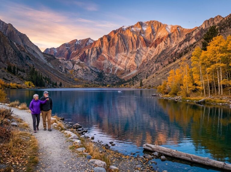
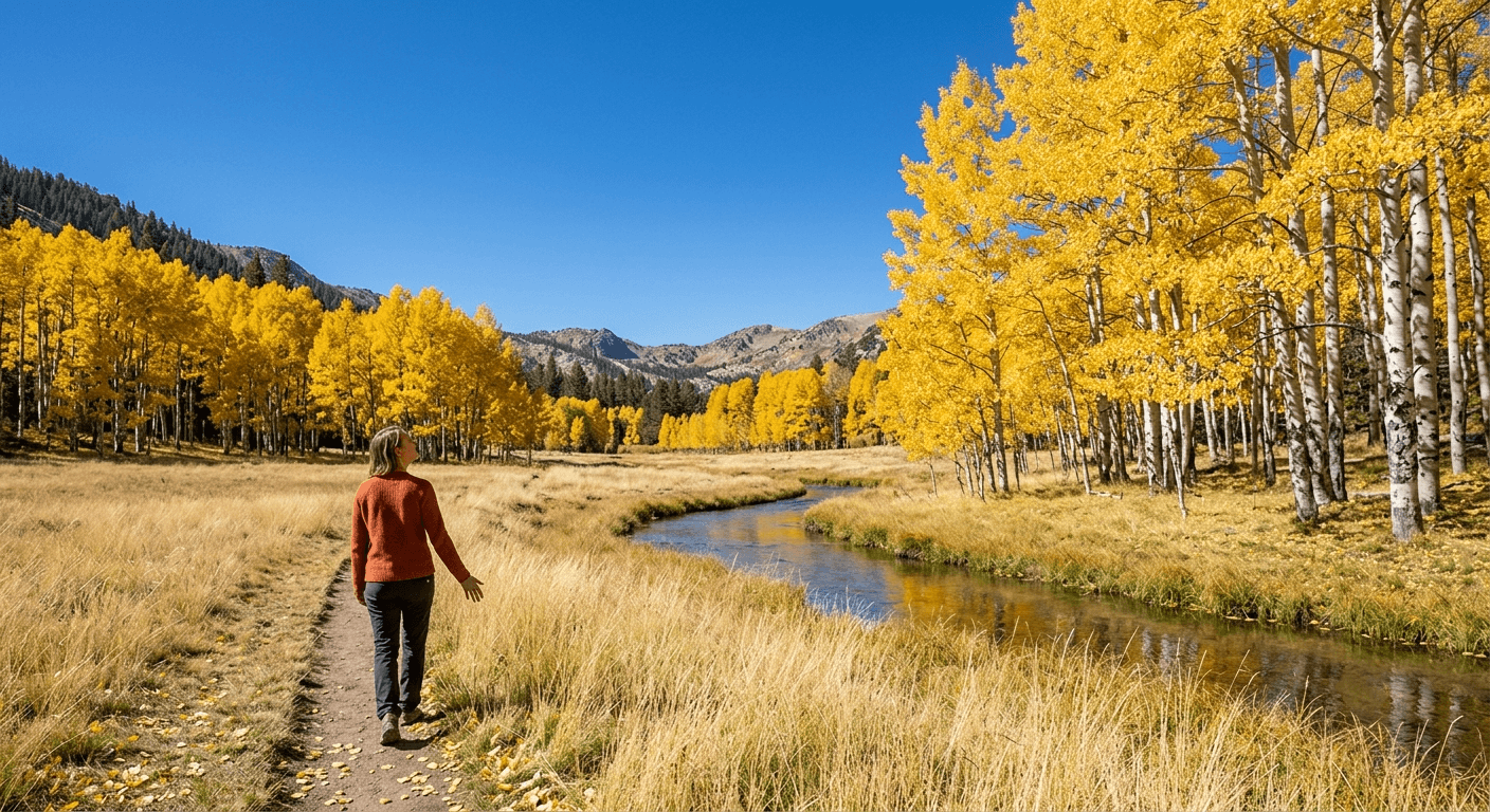
Quaking aspen groves line the open meadow basin here, turning a genuine gold each fall, this high elevation (roughly 7,400 to 8,400 feet across the broader area) makes it the earliest trail in this guide to change color and, often, the first to lose its leaves too.
Best time to hike Herring Creek Basin: late September to early October for peak color
This is the earliest color-change window of any trail in this guide, driven purely by elevation. Come mid-October, the show here is usually already over, even while lower trails elsewhere in this guide haven’t started yet.
Eagle Meadow Trail
This is the widest color palette in this guide, a broad meadow where aspen and cottonwood turn together rather than one species dominating the scene.
Trailhead access and parking along Eagle Meadow Road
Eagle Meadow Road turns off Highway 108 about 15 miles east of Pinecrest. One correction worth making here: this road does not lead to Bull Run Lake, despite that connection appearing in some trail data, Bull Run Lake is actually reached from a completely different trailhead off Highway 4, in the Stanislaus National Forest guide covered elsewhere in this series.
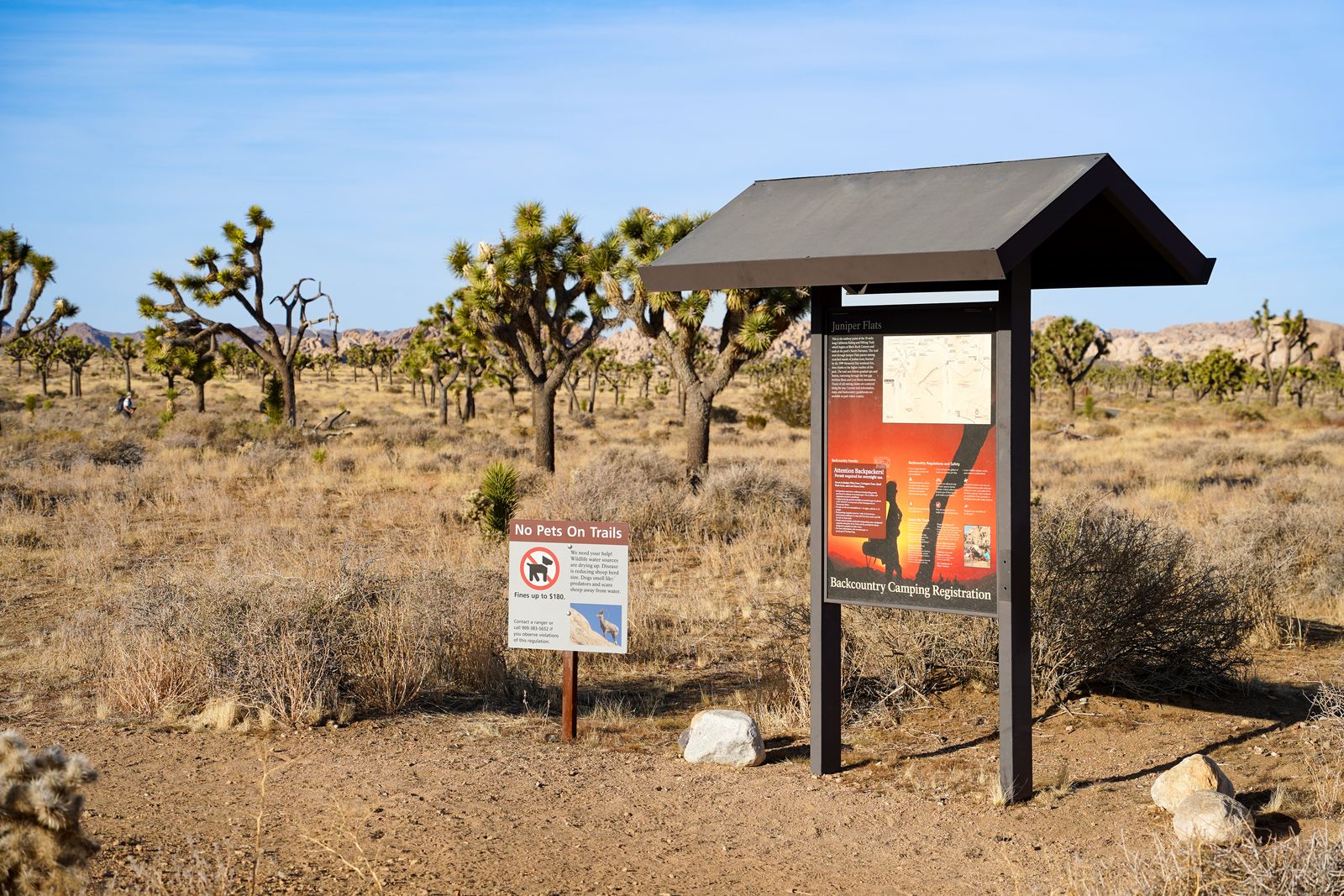
What Eagle Meadow Road actually leads to, besides this meadow, is the short Trail of the Ancient Dwarfs and a view of the ancient Bennett Juniper nearby, a gentler pace than the high-elevation trails in our Tuolumne Meadows guide, and worth combining with this hike if you’re already out this way.
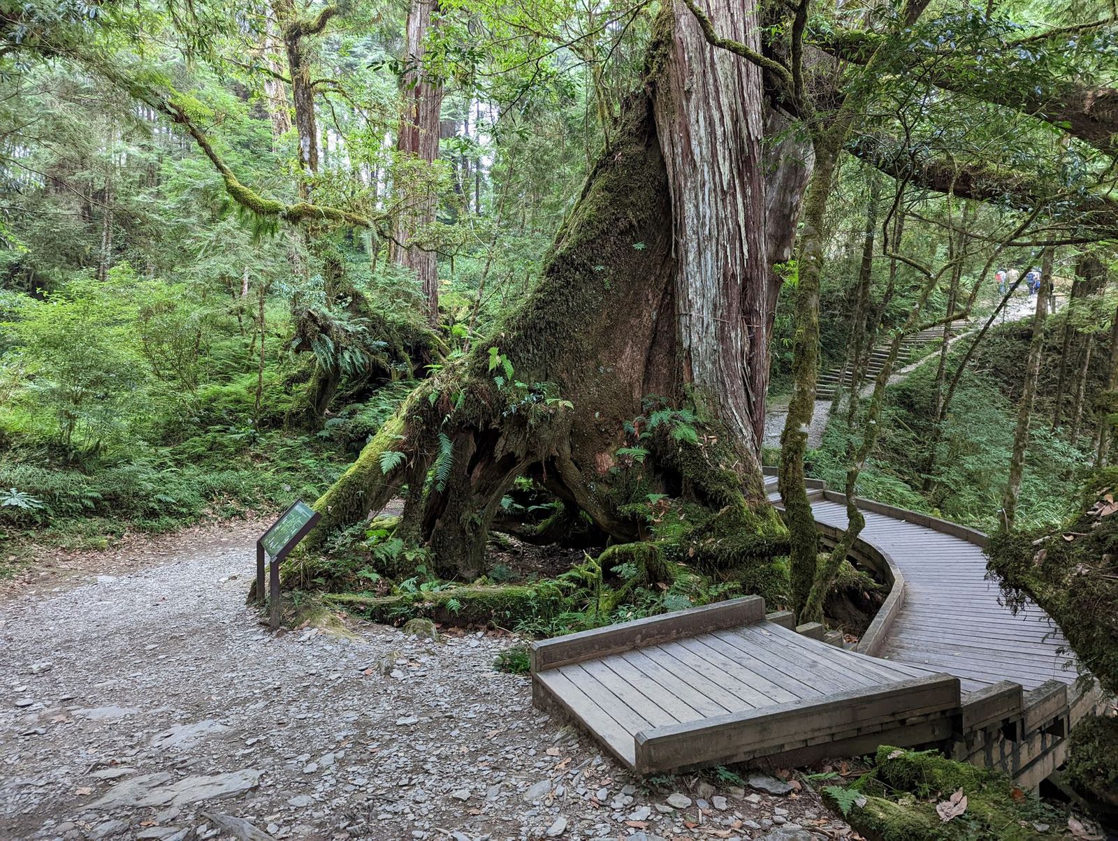
Difficulty, distance and elevation gain across Eagle Meadow
The core meadow walk runs about 3 miles round trip and stays flat and easy; some connecting routes in the area extend to around 4.3 miles with more real elevation change if you want a longer outing. Shared horse and equestrian traffic is common here, so stay alert on blind corners.
What you’ll see: a wide meadow ringed by turning aspens and cottonwoods
This broad subalpine meadow shows a genuinely wider color range than the aspen-dominant Herring Creek Basin above it, aspen and cottonwood turning together gives this spot more visual variety per photo than almost anywhere else in this guide.
Best time to hike Eagle Meadow: early October, before the first snow
This elevation is genuinely vulnerable to early-season snow, which can arrive here well before it reaches lower trails later in this guide, early October is the safer target than pushing into late October and hoping the road stays open.
Cleo’s Bath Trail
This is the trail I want to correct most clearly in this guide: it doesn’t have its own separate trailhead the way the heading data for this guide might suggest, you reach it via the same Pinecrest Lake Loop covered in our Stanislaus National Forest guide, continuing past the lake itself to the granite pools beyond.
Trailhead access and parking near Pinecrest, at the Pinecrest Lake Loop trailhead
Park at the same Pinecrest Lake day-use lot used for the standard lake loop, then follow signed turnoffs partway around toward Cleo’s Bath rather than looking for a separate Herring Creek Road access point.
Difficulty, distance and elevation gain to Cleo’s Bath
This is a second correction worth making: expect roughly 6.8 to 7.5 miles round trip with about 900 feet of elevation gain, not the shorter distance sometimes associated with this trail. The final half-mile is a genuine rock scramble requiring hands and feet, following painted arrows on the granite, this section alone accounts for most of the elevation change and nearly all of the difficulty.
What you’ll see: granite swimming pools framed by turning black oaks
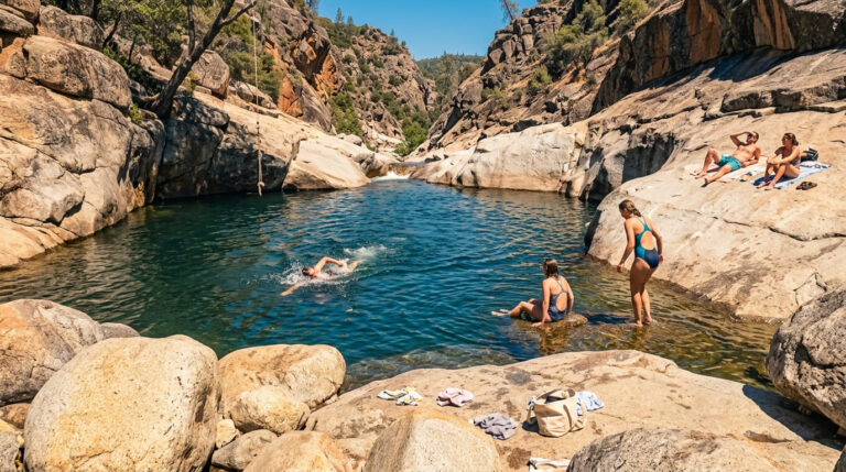
Cleo’s Bath is a series of clear granite pools on the South Fork Stanislaus River, with black oaks along the approach turning a real gold-orange each fall. One genuine safety note independent of the season: the granite slabs near the pools get slick, and the whitewater sections nearby are described by experienced local hikers as extremely dangerous to fall into, stay well back from the moving water regardless of how solid the rock looks.
Best time to hike Cleo’s Bath: fall for color, summer for swimming
Summer brings the swimming crowds; fall brings the oak color and a much quieter trail, though the water gets too cold for a comfortable swim by the time the leaves really turn. Pick your season based on which draw matters more to you.
Niagara Creek Trail
This is the dogwood-and-maple stop in this guide, a genuinely different color palette than the aspen and oak covered so far, and one more correction worth flagging on the way there.
Trailhead access and parking off Eagle Meadow Road, near Niagara Creek Campground
Another correction: this trail is reached off Eagle Meadow Road, not Long Barn Road as sometimes described, the Niagara Creek Campground and its short interpretive trail sit about a mile off Highway 108 via Eagle Meadow Road, roughly 15 to 17 miles east of Pinecrest. One practical note: the creek crossing here uses a condemned bridge that’s no longer safe to cross, you’ll need to ford the creek on foot instead, and shouldn’t attempt it if water is running high.
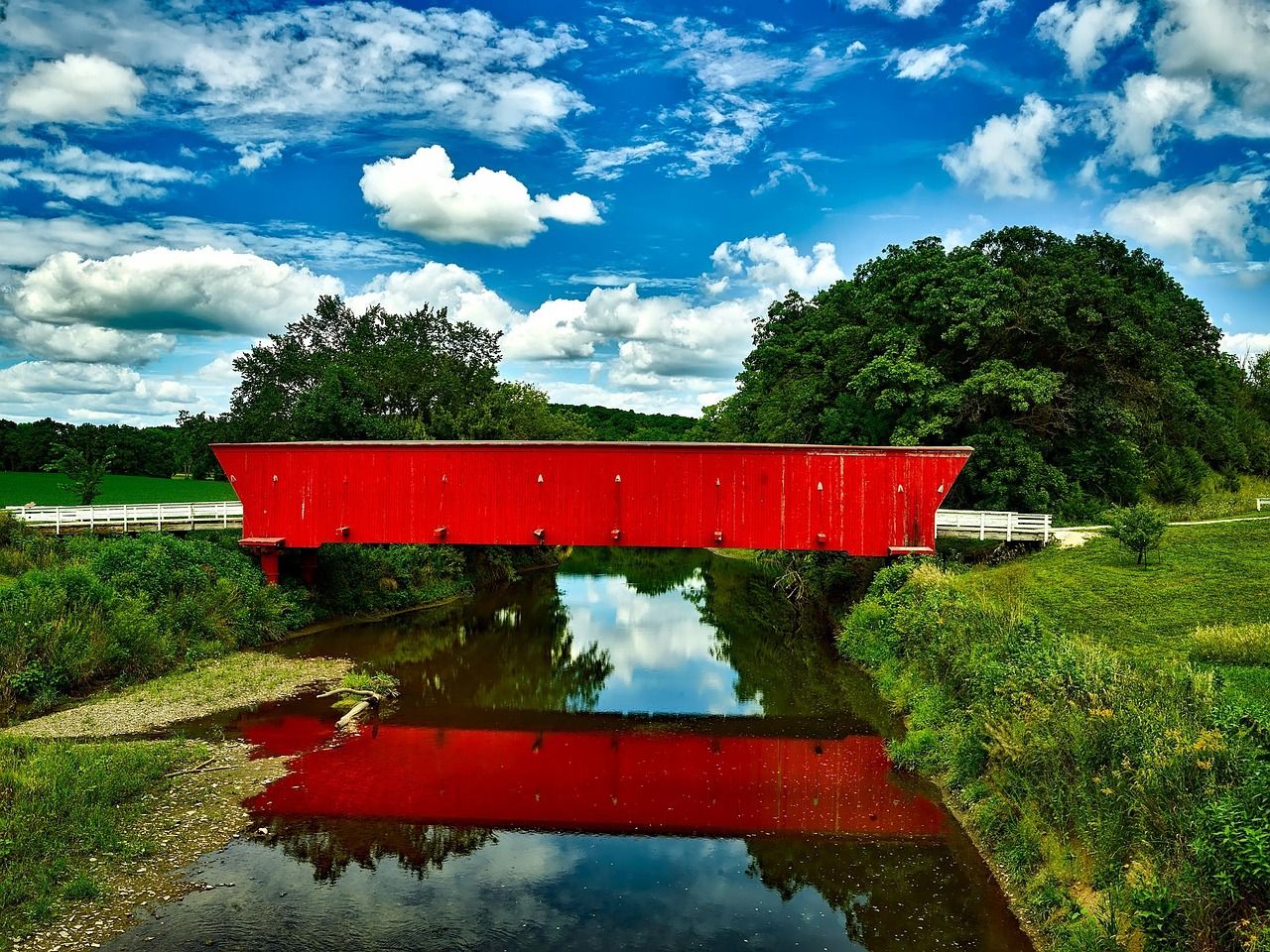
Difficulty, distance and elevation gain along Niagara Creek
Plan on roughly 2 to 2.5 miles round trip with about 300 feet of elevation gain along a shaded creek corridor, an easy, family-manageable profile once you’re past the creek crossing itself.
What you’ll see: dogwood and maple color along a shaded Sierra creek
Pacific dogwood and bigleaf maple line this creek corridor, turning red and gold in a genuinely different palette than the yellow aspens covered earlier in this guide, a real reminder that “fall color” in the Sierra isn’t just one look. For more on handling seasonal creek crossings like this one safely, our water hazards on California trails guide covers the basics.
Best time to hike Niagara Creek: mid-October for the dogwood’s red foliage
Dogwood typically turns later than the high-country aspens, giving this trail a real reason to visit even after Herring Creek Basin and Eagle Meadow have already peaked and faded.
Sand Bar Flat Trail
This closes the guide, and the fall color season itself, at the lowest elevation of any trail in this batch.
Trailhead access and parking at Sand Bar Flat Campground, Highway 108
Sand Bar Flat Campground sits directly on Highway 108, well downstream of Beardsley Lake along the Middle Fork Stanislaus River, the lowest-elevation, most drive-up-accessible trailhead in this entire guide.
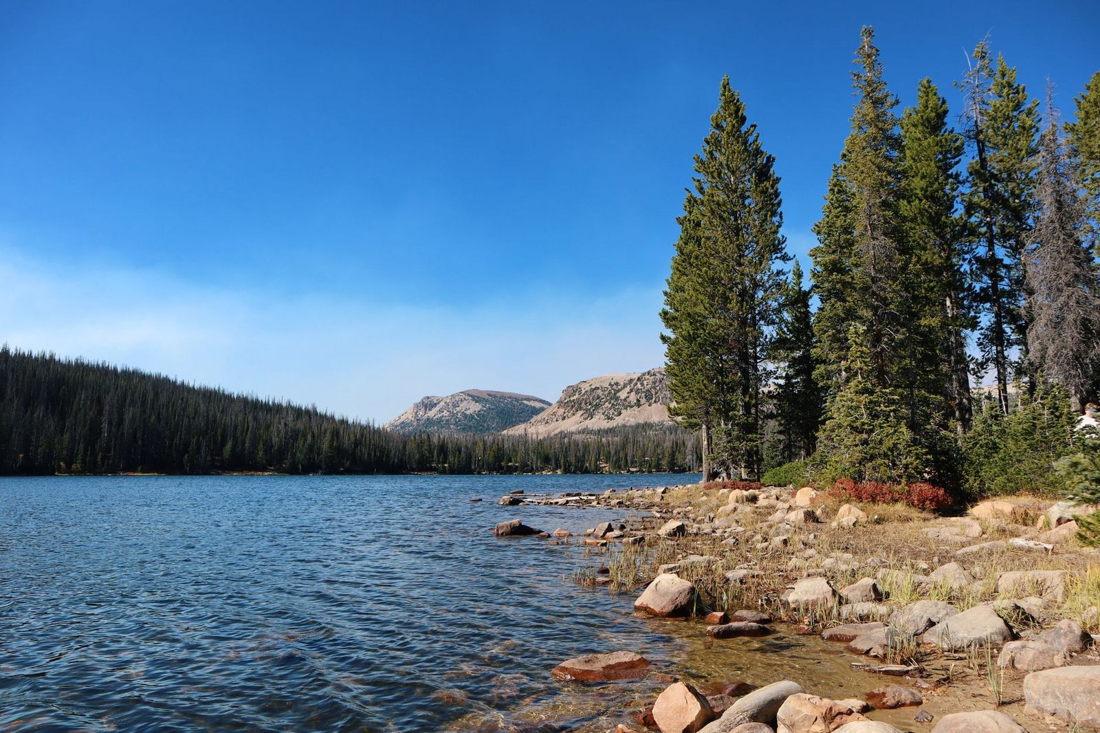
Difficulty, distance and elevation gain along the Middle Fork Stanislaus River
This is the easiest, flattest trail in this guide: about 2 miles round trip along the riverbank with minimal elevation change, genuinely accessible to nearly any fitness level.
What you’ll see: a riverside walk beneath changing cottonwoods and oaks
Cottonwood and oak riparian forest lines the Middle Fork Stanislaus River here, turning color several weeks later than the high-country aspens covered earlier in this guide, a direct consequence of sitting hundreds or thousands of feet lower in elevation than Herring Creek Basin or Eagle Meadow.
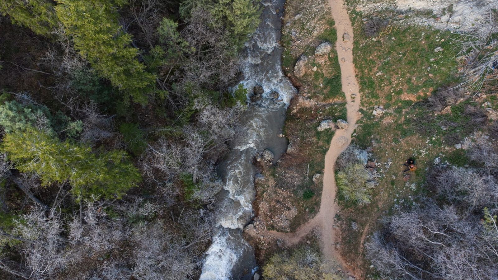
Best time to hike Sand Bar Flat: a lower-elevation option once high-country color has passed
This is deliberately the last stop on this list, by the time Herring Creek Basin and Eagle Meadow have already dropped their leaves, Sand Bar Flat is often just reaching its own peak, giving fall-color chasers a genuine extension of the season into late October or even November.
The bottom line
Work down through this list roughly in order as fall progresses: Herring Creek Basin and Eagle Meadow in late September and early October, Cleo’s Bath and Niagara Creek through mid-October, and Sand Bar Flat as your last-chance stop once everything above it has already turned. This wraps up our full Tuolumne County series; see the Tuolumne County hiking guide for all five guides together, from Tuolumne Meadows and the Big Oak Flat entrance corridor to this county’s waterfalls and its non-Yosemite backcountry.
Frequently asked questions about hiking trails for fall foliage in Tuolumne County
When does fall foliage peak in Tuolumne County?
It depends entirely on elevation, high-country aspens at Herring Creek Basin and Eagle Meadow typically peak late September to early October, while lower-elevation cottonwoods at Sand Bar Flat can peak as late as early November.
Are there aspens in Tuolumne County?
Yes, genuinely good ones, Herring Creek Basin and Eagle Meadow both have real quaking aspen groves that turn gold each fall, comparable in spirit (if not scale) to more famous aspen destinations elsewhere in the West.
Is Eagle Meadow Road open in fall?
Yes, typically through October, though this elevation is genuinely vulnerable to early-season snow, check current conditions before a late-October trip specifically, since the road can close earlier than the calendar might suggest.
Can you swim at Cleo’s Bath?
Yes, in summer, the granite pools are a popular swimming destination. By the time fall color peaks, the water’s usually too cold for a comfortable swim, so most fall visitors come for the oak color rather than the water.
Is Niagara Creek Trail easy?
Mostly, yes, it’s short and mostly flat, but the creek crossing uses a condemned bridge that requires fording on foot, which adds a real (if minor) obstacle not present on some of the other easy trails in this guide.
What is the best month for fall color near Yosemite?
Late September through October, depending on elevation, the same general rule that governs this entire guide applies to the wider Yosemite region: higher elevations turn first, lower elevations turn last, often by three to four weeks.