The 5 Best Hiking Trails Near Mokelumne River, From Foothill Swimming Holes to a Remote Sierra Reservoir
This water-focused companion to my Amador County Gold Country guide highlights the best hiking trails near Mokelumne River, focusing on a continuous river corridor rather than a town-by-town history tour. Here’s the short version: Electra is the trail everyone means when they talk about swimming in the Mokelumne, the James Bar Trail is the quieter downstream alternative when Electra’s crowded, and Salt Springs Reservoir is the one to save for when you want genuine Sierra wilderness rather than a foothill swimming hole.
Disclosure: Please note that some of the links below are affiliate links and at no additional cost to you, I may earn a commission. Know that I only recommend hiking gear I personally stand behind; when you use my affiliate links, it helps me run this blog and keep all of this content free of charge for readers (like you).
Five stops span an enormous elevation and character range along this single river, from gentle foothill swimming holes near Jackson up to a remote, PG&E-managed reservoir deep in the Mokelumne Wilderness. Several of these connect to a permit-required trail system managed by the East Bay Municipal Utility District, which supplies drinking water to the East Bay from this exact watershed.
Key takeaways:
- The classic swimming destination: Electra Trail: popular swimming holes near a historic powerhouse, open public river access.
- The quiet alternative: James Bar Trail: a less-crowded stretch downstream, part of the permit-required EBMUD trail system where swimming is strictly prohibited.
- A drinking-water reservoir with real restrictions: Pardee Reservoir: supplies the East Bay, with access rules to match its municipal role.
- Most family-amenity-rich: Lake Camanche North Shore: developed recreation, fishing, and a manageable loop trail.
- True Sierra wilderness: Salt Springs Reservoir: a remote, high-elevation trail into the Mokelumne Wilderness, a dramatic contrast to everything downstream.
- Permits matter more on this river than almost anywhere else in this project. Check my hiking safety guide for the broader landscape of fees, passes, and permits across California trails.
Electra Trail (Mokelumne River)
Trailhead access and parking near Electra Road, Jackson
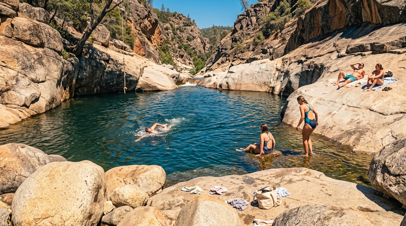
Free public access near the historic Electra powerhouse, reached via Electra Road off Highway 49, one of the most popular swimming-hole access points on the entire Mokelumne River, with a large beach area for launching and swimming.
What you’ll see: popular swimming holes along the lower Mokelumne River
A narrow river corridor with plenty of turnouts, swimming areas, and riffles, fed by dependable summer flows from the powerhouse upstream, genuinely one of the most recreation-focused stretches of this entire river.
Best time to hike Electra Trail: summer for swimming, spring for river flow
Summer brings the most comfortable water temperatures and the biggest crowds; spring shows off the river at its fullest, before the summer swimming-hole traffic arrives.
James Bar Trail (Mokelumne Coast to Crest Trail)
Trailhead access and parking at James Bar, off Electra Road
A small parking area downstream from Electra, part of EBMUD’s Mokelumne Watershed lands, which require a trail-use permit for hiking, priced at $3 for a daily permit, $10 for one year, or $20 for three years.
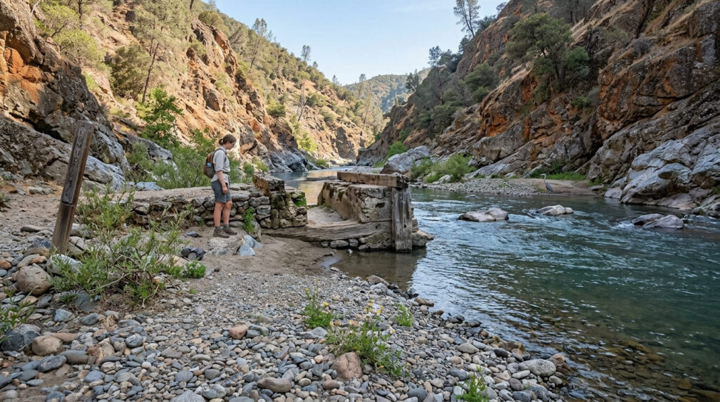
What you’ll see: a quieter canyon stretch with a historic bridge crossing
This narrower, less-developed section of river canyon follows part of the Mokelumne Coast to Crest Trail, passing historic remains from the Gold Rush era and offering a genuinely more intimate river experience than Electra’s busier beaches upstream. Note that because this is EBMUD watershed property, entering the water is strictly prohibited.
Best time to hike the James Bar Trail: an uncrowded alternative to Electra
This trail’s relative obscurity, plus the permit requirement that some casual visitors skip, makes it the natural overflow option whenever Electra’s swimming holes are too crowded for comfort.
Mokelumne Coast to Crest Trail (Pardee Reservoir Segment)
Trailhead access and parking near Pardee Reservoir
Part of the broader Camanche–Pardee segment of the Mokelumne Coast to Crest Trail, managed by EBMUD. Pardee supplies drinking water to the East Bay, so access here comes with real restrictions distinct from a typical recreational reservoir: a trail-use permit is required, and some activities allowed elsewhere (like swimming) aren’t permitted here given its municipal water-supply role.
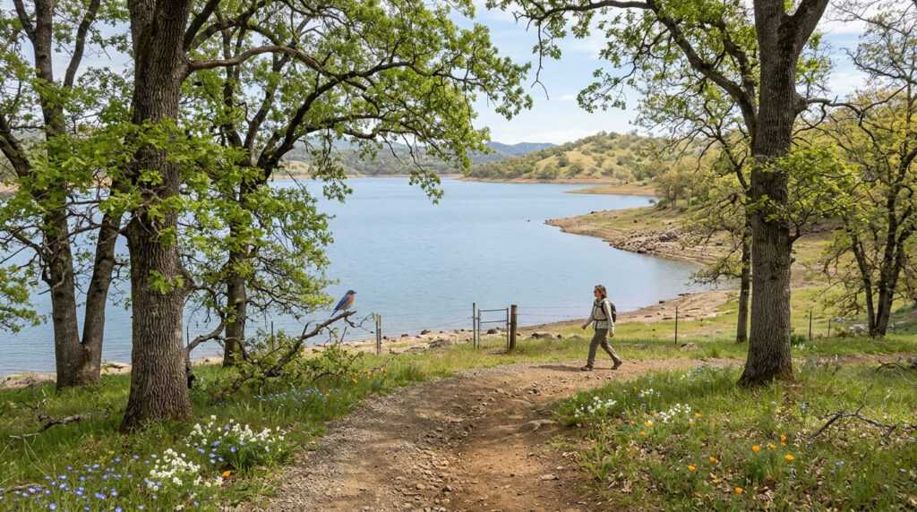
What you’ll see: a reservoir shoreline with foothill oak woodland views
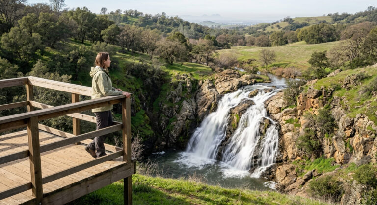
Open oak woodland frames the shoreline here, a more developed-infrastructure landscape than the swimming-hole-focused trails downstream, reflecting Pardee’s working role as a water-supply reservoir rather than a purely recreational one.
Best time to hike the Pardee Reservoir Segment: spring for the fullest reservoir views
Like the other Sierra foothill reservoirs covered elsewhere in this project, water levels here fluctuate meaningfully through the year, with spring typically showing the fullest, most scenic conditions.
Lake Camanche North Shore Trail (Mokelumne River)
Trailhead access and parking at Lake Camanche South Shore Recreation Area
A developed recreation area just downstream of Pardee, with vehicle entrance fees with vehicle entrance fees running $13.00 for off-season and peak weekdays, and $21.50 for peak-season weekends and holidays (May 1–September 30) considerably more visitor amenities than the upstream reservoir trail.
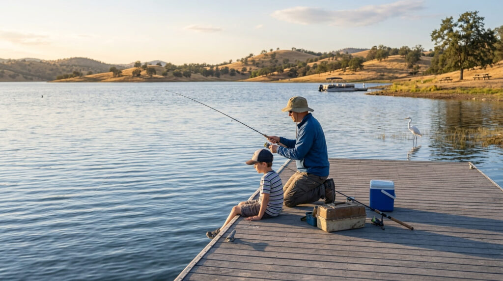
What you’ll see: a family-friendly reservoir loop with fishing access
The South Shore’s China Gulch Trail offers a shorter 3-mile loop option alongside a longer 10.2-mile route, both with genuine lake views; a state fishing license is required for anglers 16 and older, and the loop is genuinely the most amenity-rich, family-oriented stop in this entire guide.
Best time to hike Lake Camanche North Shore: any season: a reliable recreation area
This trail’s developed, amenity-supported profile keeps it comfortable and accessible across virtually the entire year, unlike the more weather- and season-dependent trails elsewhere in this guide.
Salt Springs Reservoir / North Fork Mokelumne Trail
Trailhead access and parking near Salt Springs Reservoir (high Sierra access road)
The most remote trailhead in this guide by a wide margin, reached via a long Forest Service road into the Sierra (day hikes require no permit, though overnight backpacking requires a Forest Service Wilderness Permit). PG&E manages the 332-ft dam here, completed in 1931, purely for hydroelectric production.
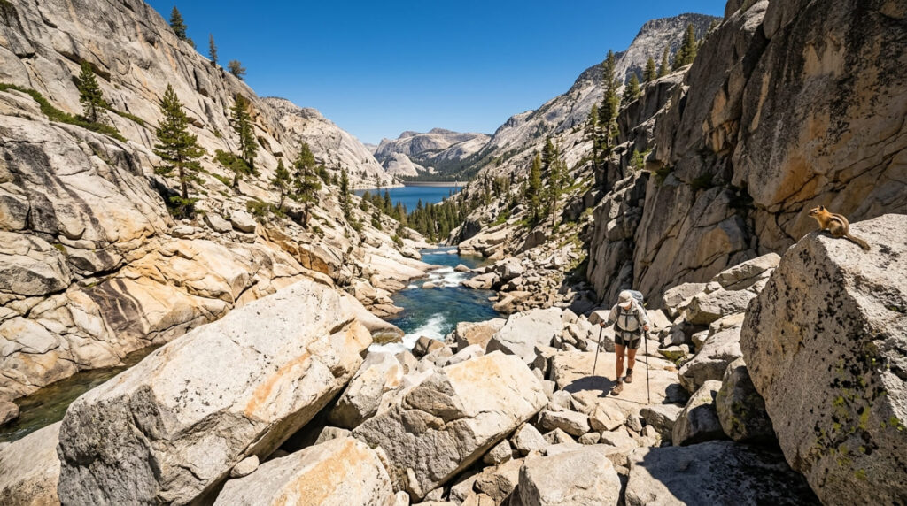
What you’ll see: the upper Mokelumne River in a true Sierra wilderness setting
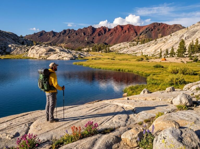
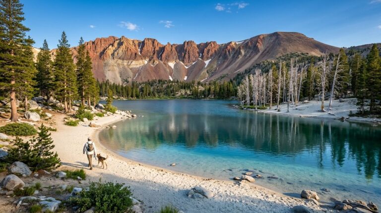
Within the Mokelumne Wilderness and Eldorado National Forest, this roughly 10.5 to 11-mile round trip (gaining 1,338 to 1,600 ft depending on the source) follows the reservoir’s northern shoreline before continuing along the river itself, past granite formations and building-size boulders, eventually reaching a small lake called Blue Hole, a dramatic contrast to the gentle foothill swimming holes covered earlier in this guide.
Best time to hike the North Fork Mokelumne Trail: summer, once high-elevation snow clears
This trail’s high starting elevation means snow can linger on access roads well into early summer some years, genuinely the most weather-dependent trailhead in this entire guide.
The trail I’d actually start with
If you’ve only got one stop, make it Electra: it’s the trail that defines what most people mean by “swimming in the Mokelumne,” and it asks the least of you logistically. The James Bar Trail is the natural overflow once Electra’s crowded, and Lake Camanche is the pick for a full family day with real amenities. Save Salt Springs Reservoir for when you specifically want genuine Sierra wilderness rather than a foothill swim.
For this county’s town-and-history-focused trails, my Amador County Gold Country guide is the natural companion to this guide. And since the Mokelumne River itself forms part of the border between Amador and Calaveras counties along this stretch, my Calaveras County Gold Country guide covers the river’s access points from the other side, closing out this guide. My Amador County hiking guide rounds out everything else the county offers.
Frequently asked questions
Is Electra Trail good for swimming?
Yes: it’s widely considered the most popular swimming-hole access point on this stretch of the Mokelumne River, with a large beach area and dependable summer flows from the upstream powerhouse.
Is the James Bar Trail less crowded than Electra Trail?
Yes, generally: its slightly less convenient access and EBMUD permit requirement keep visitor numbers well below Electra’s busier swimming beaches, making it the natural overflow option on crowded weekends.
Is Pardee Reservoir a drinking water supply?
Yes: it’s part of the East Bay Municipal Utility District’s water system, supplying drinking water to the East Bay, which is why access here comes with real restrictions beyond what you’d find at a purely recreational reservoir.
Is Lake Camanche good for fishing?
Yes: it’s a popular fishing destination alongside swimming, boating, and waterskiing, with a California fishing license required for anglers 16 and older.
Is Salt Springs Reservoir remote?
Yes, genuinely: it’s the most remote trailhead in this entire guide, reached via a long Forest Service road into the Mokelumne Wilderness, with limited services and no easy help nearby if something goes wrong.
Which Mokelumne River trail is best for swimming?
Electra, without much competition: its beach area and dependable summer flows make it the go-to swimming destination on this river, well ahead of the more restricted alternatives like James Bar and Pardee (which strictly prohibit water contact) or remote alternatives covered elsewhere in this guide.