Emigrant Wilderness Hiking & Permit Guide
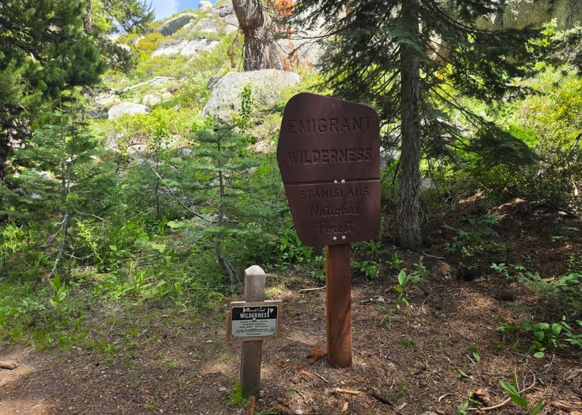
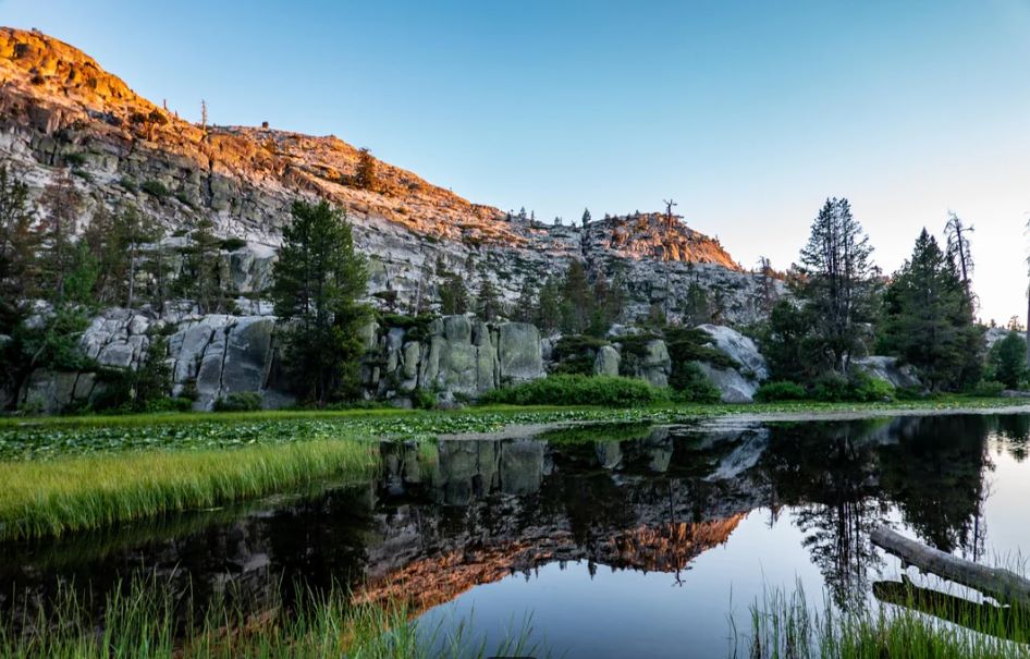
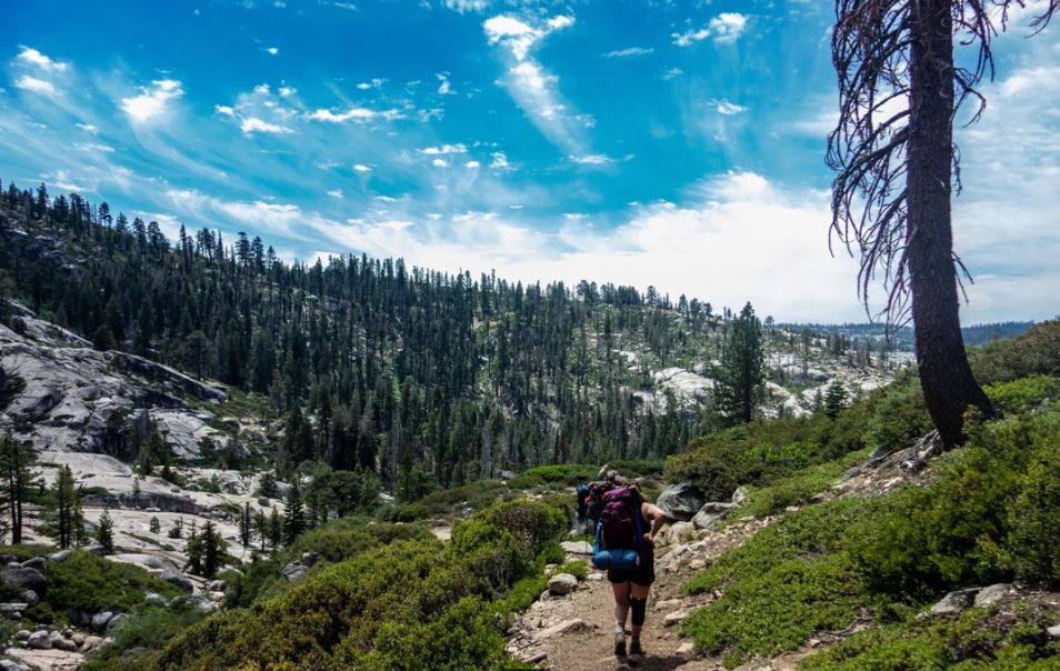
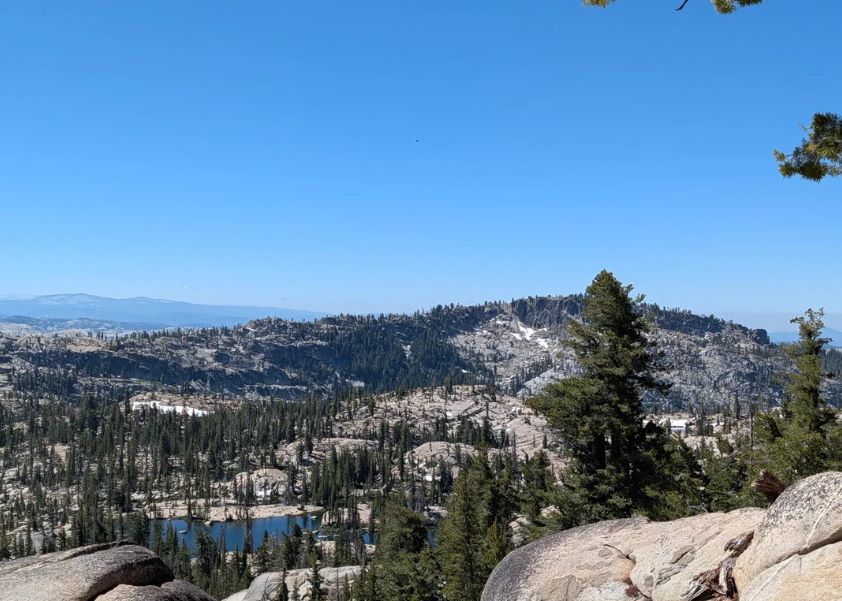
The Emigrant Wilderness is 113,000 acres of glaciated granite, volcanic ridges, and lake-studded basins on the western slope of the Sierra Nevada, and the permit to camp in it is free, with no quota and no reservation. It sits entirely inside the Stanislaus National Forest in Tuolumne County, with Yosemite National Park along its southern edge. Highway 108 runs along its northern edge on the way to Sonora Pass. The hikers who turn onto a forest road instead walk into a backcountry where the snowpack typically lingers into June, then opens into granite country of small lakes, meadows, and long views.
Disclosure: Please note that some of the links below are affiliate links and at no additional cost to you, I may earn a commission. Know that I only recommend hiking gear I personally stand behind; when you use my affiliate links, it helps me run this blog and keep all of this content free of charge for readers (like you).
This guide covers hiking the Emigrant Wilderness from the first step: the permit rules, the trailheads, trail mileages to the best-known lakes, where to find an Emigrant Wilderness map, and the fire, camping, and bear rules that apply here but not in the neighboring parks.
Key Takeaways
- The Emigrant Wilderness in California covers 113,000 acres, roughly 25 miles long and 15 miles wide, bordered by Yosemite on the south, the Hoover Wilderness on the east and Highway 108 on the north.
- A wilderness permit is required for overnight camping at any time of year. It is free, and the Forest Service says there are no quota or reservation systems for the Emigrant.
- You need a free campfire permit from CAL FIRE for a campfire or a stove. Fires are banned above 9,000 feet and within a half mile of Emigrant Lake.
- Groups are limited to 15 people. Camp at least 100 feet from lakes, streams, and trails, and stay only one night at Camp, Bear, Grouse, Powell, and Waterhouse lakes.
- Bear canisters are not currently required in the Emigrant, though they are required in Yosemite and the Hoover Wilderness.
- Highway 108 over Sonora Pass is generally closed from November to May, and snow lingers into June.
Emigrant Wilderness at a Glance
| Detail | What to know |
|---|---|
| Size | 113,000 acres |
| Location | Stanislaus National Forest, Tuolumne County |
| Borders | Yosemite National Park (south), Hoover Wilderness (east), Highway 108 (north) |
| Designated | January 4, 1975 |
| Permit | Free overnight wilderness permit, no quota |
| Campfire permit | Free, from CAL FIRE; also needed for stoves |
| Bear canisters | Not currently required in the Emigrant; recommended |
| Maximum group size | 15 people |
| Main access road | Highway 108, near Pinecrest and Kennedy Meadows |
Where the Emigrant Wilderness in California Sits
The Forest Service describes the Emigrant as an elongated area running northeast, and its name comes from the emigrant parties who crossed the Sierra.
The Clark-Skidmore party was the first emigrant group to travel the West Walker route over Emigrant Pass, according to Wikipedia. Congress designated the wilderness on January 4, 1975, and the Forest Service had managed much of it as a primitive area before that.
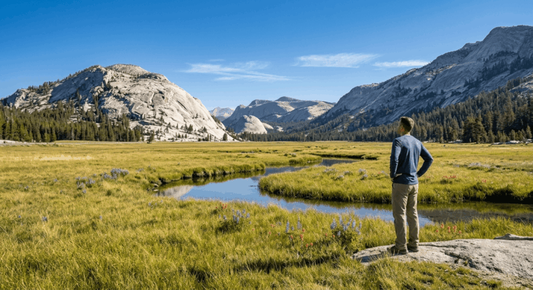
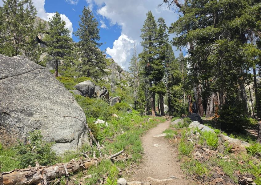
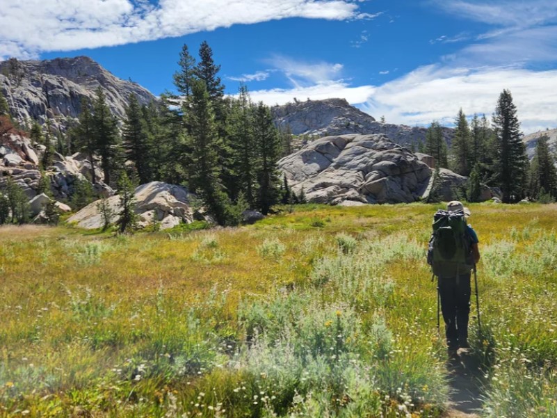
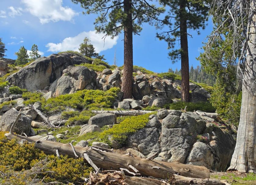
The landscape changes as you move across it. According to Wikipedia, the northeast third is dominated by volcanic ridges and peaks, and the rest is sparsely vegetated granite ridges interspersed with lakes and meadows. Precipitation averages about 50 inches a year, 80 percent of it as snow.
The wilderness is part of the wider Tuolumne County hiking country, and our guide to Stanislaus National Forest hiking trails covers shorter day hikes outside the wilderness boundary. If you are comparing it with its famous neighbor, our guide to Yosemite hiking trails covers the national park side of the line.
Emigrant Wilderness Permit: Free, With No Quota
A wilderness permit is required for overnight trips into the Emigrant, and the current Forest Order bans camping overnight in the Emigrant Wilderness at any time of the year without one. The Stanislaus National Forest’s wilderness permits page says there are no quota or reservation systems for the Emigrant, so you do not need to win anything to go.
| Question | Answer |
|---|---|
| Cost | Free |
| Quota or reservation | None |
| Where to get it | Sugar Pine Ranger Station on Highway 108, in person during office hours; a self-issue kiosk stands in front when it is closed |
| Other offices | The Supervisor’s Office in Sonora issues permits in person during office hours |
| Campfire or stove | Free campfire permit from CAL FIRE, carried with you |
| Day hikes | The permit requirement covers overnight trips |
Where you start matters. If your trip begins at a trailhead inside another national forest or park, the permit comes from that agency. The Forest Service gives Leavitt Lake as an example: it lies within the Humboldt-Toiyabe National Forest, so trips from there into the Emigrant, the Hoover Wilderness, or Yosemite need a Humboldt-Toiyabe permit.
For a long trip from Sonora Pass, which is within the Stanislaus, the permit comes from the Summit Ranger Station. Trips that enter Yosemite wilderness need Yosemite’s rules too, and our Yosemite permits guide explains them. For permits across the state, see our guide to California hiking trail permits and passes.
If you are used to quota systems like the ones detailed in our Desolation Wilderness permit guidelines, the contrast is sharp. Our Rae Lakes Loop guide shows how a quota season changes planning, and the Emigrant works the opposite way: you plan around weather and snow, not a lottery.
Emigrant Wilderness Trailheads
Most trailheads have no services, and the Forest Service sets a one-night camping limit at all of them. The elevations below come from Forest Service trailhead and mileage sheets dated 2012, so confirm road conditions before you drive.
| Trailhead | Elevation | What to know |
|---|---|---|
| Gianelli Cabin (Burst Rock) | 8,600 ft | Limited parking, no facilities; reached from Crabtree Road |
| Crabtree Camp | 7,160 ft | Large paved lot and restrooms |
| Bell Meadow | 6,560 ft | Plenty of informal parking, no facilities |
| Kennedy Meadows | 6,320 ft | Starting point for Relief Reservoir and Kennedy Lake |
| Waterhouse | 8,240 ft | Limited parking, no facilities |
| Coyote Meadow (Cooper Pocket) | 8,480 ft | Limited parking, no facilities |
| Sonora Pass | 9,600 ft | Improved surface and restrooms; Pacific Crest Trail crosses Highway 108 here |
| Shingle Springs | 5,880 ft | South-side access toward Kibbie Lake and Huckleberry Lake |
Gianelli and Crabtree are reached from the Crabtree Road exit off Highway 108, roughly 2 miles west of Pinecrest, according to the same sheets.
The Forest Service also issued an order in April 2026 extending seasonal closures on several higher-elevation roads, so check its alerts page before you head up.
Hiking the Emigrant Wilderness: Trails and Lakes
These mileages are one-way and come from the Forest Service’s trail mileage chart, a 2012 edition. The Forest Service says an average hiker covers 1 to 2 miles an hour, plus about an hour for every 1,000 feet of climbing, which is a useful way to turn these numbers into a schedule.
| Destination | From Gianelli | From Crabtree | From Kennedy Meadows |
|---|---|---|---|
| Powell Lake | 2.3 mi | ||
| Camp Lake | 2.6 mi | ||
| Bear Lake | 3.9 mi | ||
| Chewing Gum Lake | 4.1 mi | 4.4 mi | |
| Piute Meadow | 6.4 mi | ||
| Y Meadow Lake | 6.4 mi | ||
| Toejam Lake | 8.5 mi | 10.1 mi | |
| Buck Lake | 13.9 mi | 12.4 mi | |
| Relief Reservoir | 3.0 mi | ||
| Kennedy Lake | 7.5 mi | ||
| Emigrant Lake | 16.9 mi | 15.9 mi | 14.7 mi |
| Huckleberry Lake | 21.1 mi | 19.1 mi |
Short Overnights: Bear, Camp and Chewing Gum Lakes
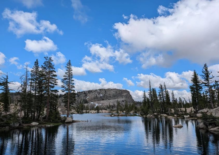
Camp, Bear, and Chewing Gum are among the closest lakes to the trailheads, and the Forest Service lists Bear, Camp, Chewing Gum, and Grouse Lakes as popular destinations with minimum camping distance maps.
From Gianelli, Powell Lake is 2.3 miles, and Chewing Gum Lake is 4.1 miles. From Crabtree, Camp Lake is 2.6 miles and Bear Lake is 3.9 miles. Remember the one-night limit at Camp, Bear Lake, and Powell Lake, and plan a second night elsewhere if you want one.
Mid-Length Trips: Y Meadow, Toejam and Buck Lakes
Beyond Chewing Gum, the trail from Gianelli reaches Y Meadow Lake at 6.4 miles and Toejam Lake at 8.5 miles. From Crabtree, the chart shows a chain of lakes: Piute Lake at 8.0 miles, Gem Lake at 9.5, Jewelry Lake at 10.5, Deer Lake at 11.3, and Buck Lake at 12.4.
The Bell Meadow trailhead reaches Gem, Jewelry, Deer, and Buck lakes as well, which makes loops possible when you check the connecting trails on a map.
Long Routes: Emigrant Lake, Huckleberry Lake and Kennedy Lake
Emigrant Lake sits 14.7 to 16.9 miles from the main trailheads, so it is a multi-day trip. Huckleberry Lake is farther still, at 19.1 miles from Kennedy Meadows.
On the Kennedy Meadows side, the chart lists Relief Reservoir at 3.0 miles and Kennedy Lake at 7.5 miles. If you plan a trip this long, our guide to backpacking trails in California covers pacing and gear for multi-day routes.
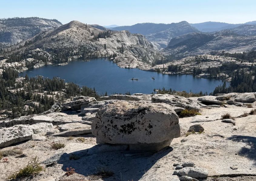
Emigrant Wilderness Map
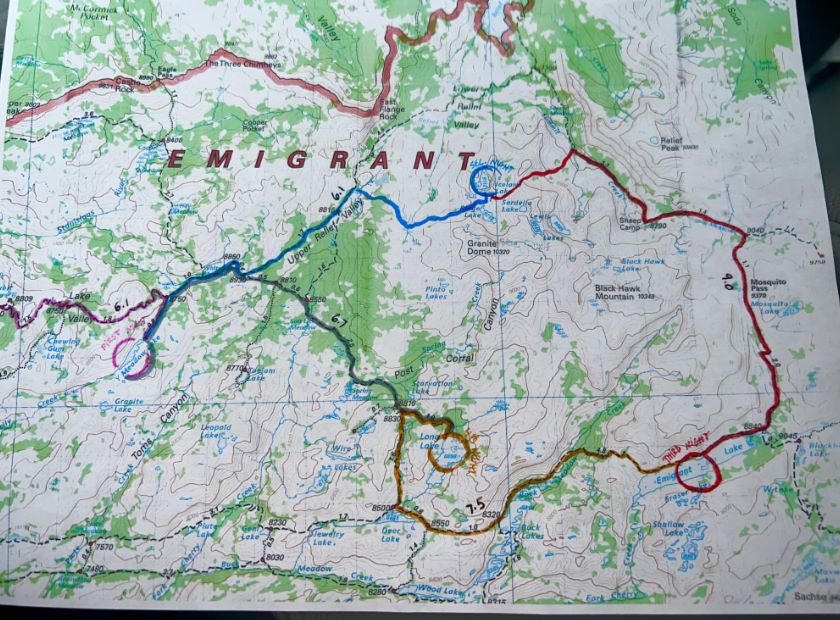
Start with the Forest Service’s Emigrant Wilderness page, which links an overview map, a trail map, a trailheads sheet, a trail mileage chart, and a trail diagram. The diagram carries its own warning: it is not a map; its trail segments are straightened, and visitors should get a detailed wilderness map for navigating.
For a printed map, the Tom Harrison Emigrant Wilderness Trail Map is a shaded-relief topographic map at 1:63,360 with 80-foot contours, printed on waterproof, tear-resistant paper. The Forest Service sells maps through its Stanislaus map pages as well.
Our guide to free vs paid hiking trail maps explains which to carry. The Forest Service adds that some trails are poorly maintained or hard to follow, so bring a map and compass and know how to use them, and treat phones and satellite devices as backups.
Camping Rules, Fires and Bears
| Rule | Detail |
|---|---|
| Group size | 15 people maximum for day or overnight use; affiliated groups must camp and travel at least one mile apart |
| Campsite distance | At least 100 feet from lakes, streams and trails |
| One-night limit | Camp, Bear, Grouse, Powell and Waterhouse lakes, and all trailheads |
| Campfires | Need a CAL FIRE permit; banned above 9,000 feet and within half a mile of Emigrant Lake |
| Waste | Keep waste and wash water at least 100 feet from water; bury waste 6 to 8 inches deep; pack out toilet paper and wipes |
| Prohibited | Bicycles, wheeled carts, motorized equipment and drones |
| Stock | Up to 25 head per group |
Bear canisters are not currently required in the Stanislaus wildernesses, but the Forest Service sends visitors to the Be Bear Aware guidance and says the easiest way to protect food is a canister.
Keep food and anything scented at least 100 feet from your campsite. If you cross into Yosemite, canisters are required there. Our guide to wildlife hazards on California trails explains bear behavior in the Sierra.
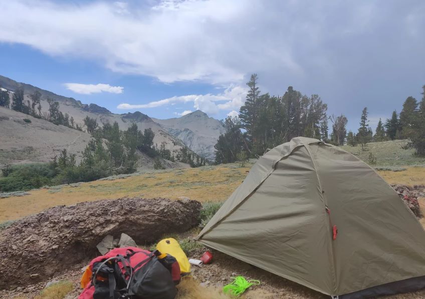
When to Go and What to Expect
| Window | What to expect |
|---|---|
| Winter to late spring | Highway 108 over Sonora Pass is generally closed from November to May; snow often lingers into June |
| Summer | Main hiking season; summer thunderstorms are common, and cattle may be present from July to September |
| Fire season | Temporary fire restrictions can change at any time; check the Stanislaus alerts before you go |
Sonora Pass reaches 9,628 feet, and several trailheads start at 8,000 feet or higher, so altitude matters. The Forest Service lists acute mountain sickness symptoms as headache, nausea, loss of appetite, dizziness, and vision changes, and advises resting and moving to lower elevations if they appear. Our guide to high-elevation hiking in the Sierra Nevada goes deeper. For a night before or after your trip, our guide to campgrounds near California’s top hiking trails covers options.
Frequently Asked Questions
Do I need a permit for the Emigrant Wilderness?
For overnight trips, yes. The permit is free, with no quota or reservation, and the current Forest Order requires it at any time of year.
Do I need a campfire permit?
Yes, if you plan a campfire or a stove. It is free from CAL FIRE. Fires are banned above 9,000 feet and within half a mile of Emigrant Lake.
Is a bear canister required?
Not currently required in the Emigrant, but the Forest Service recommends one and requires them in Yosemite and the Hoover Wilderness.
How big can my group be?
Fifteen people for day or overnight use. Groups must camp and travel separately, at least one mile apart.
Can I bring my dog?
The Emigrant Wilderness use order lists no dog restriction, but Yosemite wilderness does not allow dogs, even on a leash, so do not cross into the park with one.
Where do I get a wilderness permit?
At the Sugar Pine Ranger Station on Highway 108 during office hours, or at the self-issue kiosk out front when it is closed. Trips that start in another forest or park need that agency’s permit.