Eastern Sierra Lake Hiking Guide: Convict Lake & Rock Creek
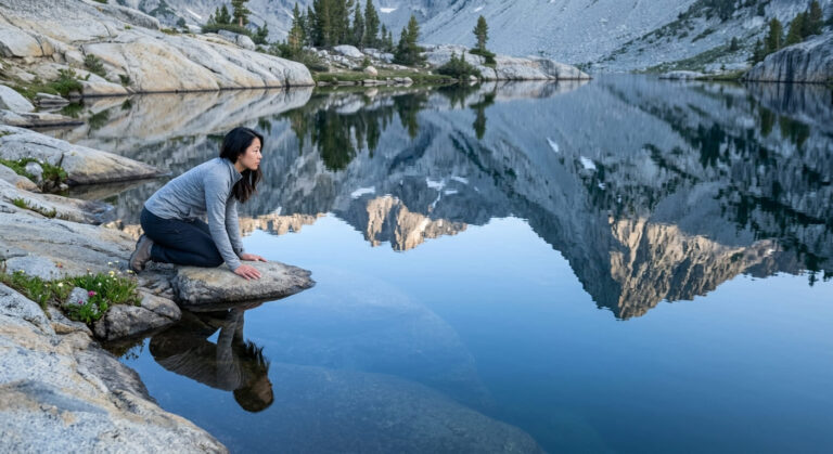
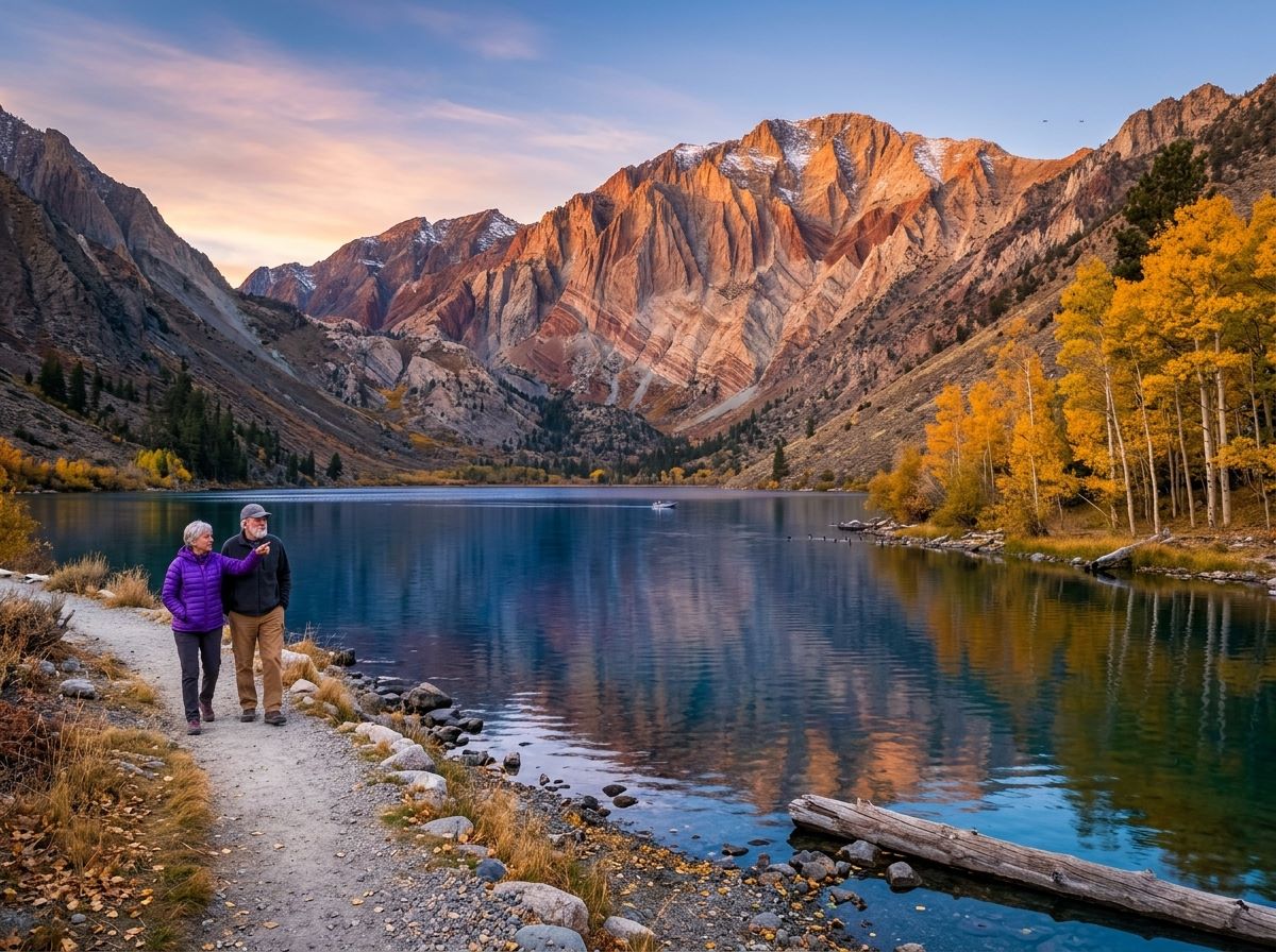
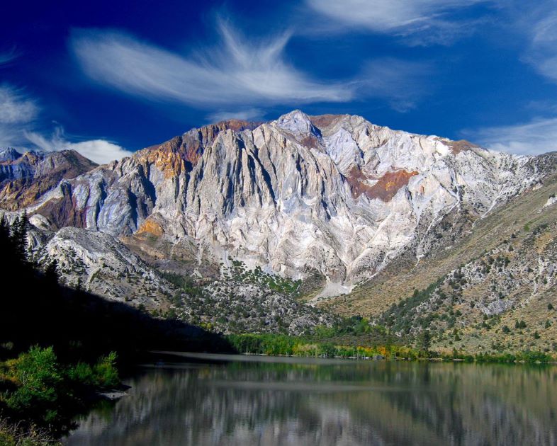
Convict Lake, California, fills a glacier-carved box canyon on the Eastern Sierra, two miles west of US 395 and about 10 miles south of Mammoth Lakes, with 12,241-foot Mount Morrison standing over its southeast shore. Farther south on US 395, Rock Creek Canyon climbs higher: Rock Creek Lake sits at about 9,600 feet, and beyond it the road ends at the trailhead for Little Lakes Valley, a chain of small lakes strung beneath 13,000-foot peaks. One is a morning loop beside a deep blue lake with a name that comes from a shootout. The other is a high-altitude walk that makes you slow down and breathe.
Disclosure: Please note that some of the links below are affiliate links and at no additional cost to you, I may earn a commission. Know that I only recommend hiking gear I personally stand behind; when you use my affiliate links, it helps me run this blog and keep all of this content free of charge for readers (like you).
This guide covers both: where Convict Lake is and how it got its name, the Convict Lake Loop and the trails beyond it, where Rock Creek Lake is in relation to Mammoth, what to hike in Little Lakes Valley, and the permit, bear, and altitude rules that differ between the two canyons.
Key Takeaways
- Convict Lake is in Mono County, in Inyo National Forest, 10 miles south of Mammoth Lakes and 2 miles west of US 395. The Forest Service says no fee is required at the loop trailhead.
- The Convict Lake Loop is about 3 miles by Forest Service measure, and easy. The south side is icy in winter.
- Rock Creek Lake is about 13 miles south of Mammoth Lakes on US 395 to Tom’s Place, then roughly 10 miles up Rock Creek Road, at about 9,600 feet.
- Little Lakes Valley needs no permit for day use, but overnight trips do, with a quota of 25 people per day from May 1 to November 1.
- Bear-proof food containers are required in Little Lakes Valley, and campfires are banned in the valley.
- The two canyons differ by about 2,000 feet of elevation at the lakes and far more at the trailheads, so plan for altitude at Rock Creek.
Convict Lake and Rock Creek at a Glance
| Detail | Convict Lake | Rock Creek |
|---|---|---|
| Location | 10 miles south of Mammoth Lakes, 2 miles west of US 395 | Tom’s Place exit, about 13 miles south of Mammoth Lakes, then about 10 miles up Rock Creek Road |
| Lake elevation | About 7,580 feet | Rock Creek Lake about 9,600 feet |
| Signature hike | Convict Lake Loop, about 3 miles | Little Lakes Valley from Mosquito Flat |
| Day-use permit | None | None |
| Overnight permit | Wilderness permit for John Muir Wilderness trips | Wilderness permit; Little Lakes Valley quota of 25 people per day in season |
| Bears | Bear lockers at every campsite | Bear-proof containers required in Little Lakes Valley |
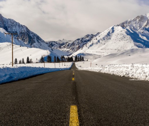
| Winter | South shore trail icy | Rock Creek Road closes under snow |
Where Is Convict Lake, California?
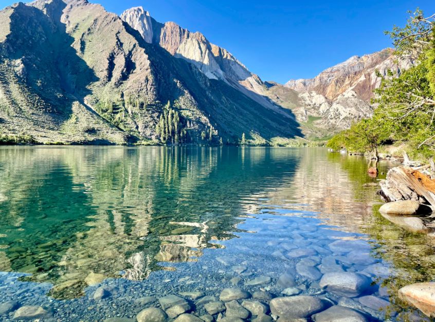
Convict Lake lies in Mono County in the Sherwin Range of the Sierra Nevada, south of Mammoth Lakes and north of Crowley Lake.
The Forest Service puts it ten miles south of Mammoth Lakes and two miles west of Highway 395, and Convict Lake Road is the way in. Wikipedia lists the lake at about 7,580 feet, covering roughly 170 acres, with depths of up to 140 feet, which makes it one of the deepest lakes in the Sierra.
The lake sits in a box canyon, and the setting is the draw. If you are building a longer trip around the town, ncluding exploring the volcanic shores of Horseshoe Lake our guide to hiking trails near Mammoth Lakes and our guide to Mono County hiking trails show how the area fits together.
Convict Lake Mammoth, CA: How It Got Its Name
The lake was known to Europeans as Monte Diablo until September 1871. According to Wikipedia, 29 prisoners escaped from the Nevada State Prison in Carson City on September 17 of that year, and a group led by Charlie Jones headed south toward the Mammoth area.
A posse from Mono County caught up with part of the group near what was then Monte Diablo Creek, and a shootout on September 23 left posse member Robert Morrison dead. Mount Morrison, the tallest peak above the lake, is named for him.
The Forest Service describes the area as named after the famous shootout between the escaped convicts and the sheriff’s posse, and the 1951 film The Secret of Convict Lake drew on those events.
Hiking Convict Lake: The Loop and Beyond
| Hike | Distance | What to know |
|---|---|---|
| Convict Lake Loop | About 3 miles (Forest Service); other sources say 2.5 to 3.5 | Easy; picnic tables and grills at one end; south side icy in winter |
| East Shore Trail | Short, paved | Benches and viewpoints; parking at the day-use picnic site on the southeast side |
| Convict Creek Trail to Mildred Lake | About 9.7 miles round trip, 2,326 feet of gain (AllTrails) | Hard; John Muir Wilderness; creek crossing can be difficult at high water |
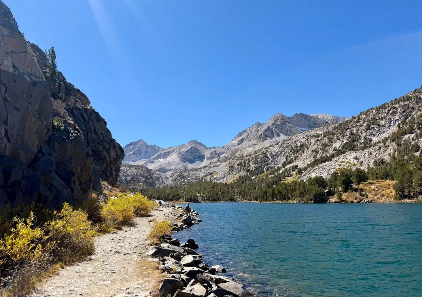
The Forest Service describes the loop as easy, with spectacular views of Laurel Mountain, and notes that the south side of the lake is icy in the winter, so use caution.
There is no fee at the loop trailhead, and potable water is not available there. Dogs must be leashed in developed recreation sites. Hikers report a junction about 0.7 miles along that leads to the Convict Creek Trail, Lake Dorothy and Mildred Lake, and a short boardwalk near the south end.
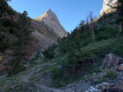
For a paved option, the East Shore Trail has benches and viewpoints of the lake against Mount Morrison. For a longer day, the Convict Creek Trail passes Mildred Lake and continues to Lake Dorothy, Lake Genevieve, and Edith Lake, according to Visit Mammoth.
Overnight trips into the John Muir Wilderness need a wilderness permit. Our guide to high-altitude hikes in the Eastern Sierra covers more ambitious routes in the same range.
The loop is a good first stop in autumn, when the quaking aspens turn golden. The Forest Service’s Convict Lake page lists the recreation sites and current status.
Convict Lake Mammoth California: Camping, Boating and Fishing
Convict Lake Campground sits along Convict Creek, a short walk from the lake. It has 85 campsites, with bear lockers at each one. Reservations run through Recreation.gov, and the season is limited, so check dates before you plan.
The marina has rental boats and a dock, and the paved boat ramp is near the bait shop. Recreation.gov lists Convict Lake as a no-wake lake. Anglers fish for rainbow and brown trout, and California fishing rules and licenses apply. Wikipedia says the lake is stocked weekly in summer.
If you want a base outside the campground, our guide to campgrounds near California’s top hiking trails covers other options.
Where Is Rock Creek Lake? Distance From Mammoth
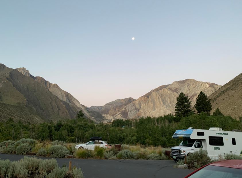
Rock Creek Lake is in Mono County, in Rock Creek Canyon on the Eastern Sierra. The Forest Service gives the directions from Mammoth Lakes: drive south on US 395 for about 13 miles, take the Tom’s Place turnoff, and go west up the canyon for about ten miles. From Bishop, it is about 30 miles north on US 395 to Tom’s Place.
Rock Creek Lake Campground sits at about 9,600 feet, has 28 sites, costs $35 per night, and sits in an active bear area where bear boxes must be used.
The campground closes for winter, and Rock Creek Road is a seasonal road that snow closes, so check conditions before you drive up.
People searching for Rock Creek Lake near Mammoth are looking for this canyon. It is a day trip from town, but it feels like a different world: the lake is about 2,000 feet above Convict Lake, and the trailheads beyond it are higher still.
Hiking Rock Creek Canyon: Little Lakes Valley and More
| Hike | Trailhead elevation | What to know |
|---|---|---|
| Little Lakes Valley to Chickenfoot Lake | Mosquito Flat, end of Rock Creek Road | 6.4 miles round trip, 960 feet of gain, all above 10,200 feet (Modern Hiker) |
| Mono Pass trail | Mosquito Flat | Climbs to Ruby Lake and Mono Pass at 12,040 feet; separate quota of 20 people per day |
| Hilton Lakes | About 9,600 feet, below Rock Creek Pack Station | Forest trail into Hilton and Davis Lakes basin |
| Tamarack Lakes | East shore of Rock Creek Lake | Steep at first, then level near intermediate lakes |
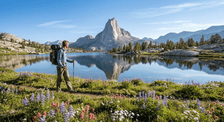
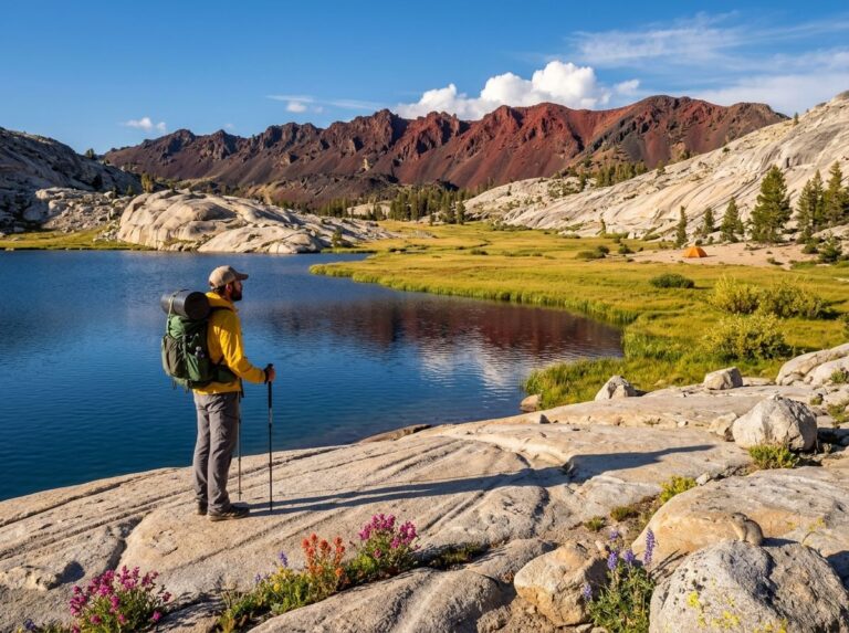
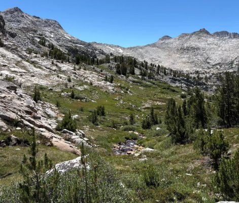
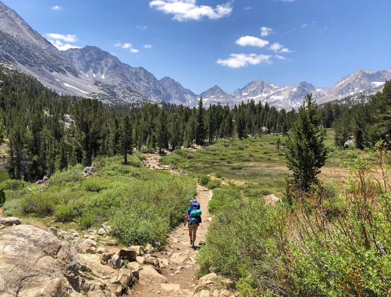
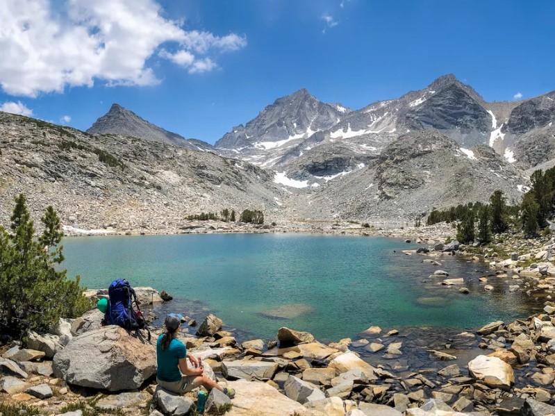
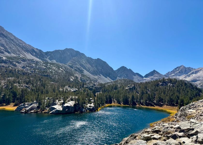
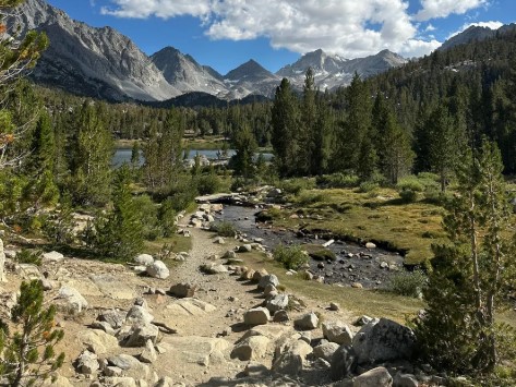
The Forest Service describes Little Lakes Valley as a glacier-carved basin surrounded by 13,000-foot peaks, including Mount Mills, Mount Dade, Mount Abbot, and Bear Creek Spire, and popular with beginning hikers and anglers. Hikers can continue to Morgan Pass, or take the Mono Pass trail up to Ruby Lake.
Day hikers walk past Mack, Marsh, Heart, Box, and Long lakes on the way to Chickenfoot Lake. Because you start above 10,000 feet, the route feels harder than the gain suggests.
Our guide to high-elevation hiking in the Sierra Nevada covers altitude and pacing, and the Forest Service advises boiling or filtering water because of giardia.
Permits, Bears and Rules
| Rule | Convict Lake | Rock Creek and Little Lakes Valley |
|---|---|---|
| Day use | No permit; no fee at the loop trailhead | No permit for day use |
| Overnight | Wilderness permit for John Muir Wilderness trips | Wilderness permit year-round; quota of 25 people per day for Little Lakes Valley from May 1 to November 1 |
| Bears | Bear lockers at campsites | Bear-proof containers required for food, trash and scented items |
| Fires | Check current Inyo National Forest restrictions | No campfires anywhere in Little Lakes Valley |
| Group size | Check wilderness rules | 15 people maximum, including day use |
The Inyo National Forest’s Little Lakes Valley Trail page lists these rules. Permits are reserved on Recreation.gov: during the quota season, 60 percent of the quota opens six months ahead, 40 percent opens two weeks before the entry date, and cancelled quota returns to the calendar within 24 hours.
Little Lakes Valley is also Sierra Nevada bighorn sheep habitat, so give wildlife room. Our guide to wildlife hazards on California trails covers bears, and our guide to California hiking trail permits and passes covers permits more broadly. If you want to see how a lottery-based Inyo permit works, our Mount Whitney permit guide explains it.
Best Time to Visit
| Season | Convict Lake | Rock Creek |
|---|---|---|
| Summer | Loop open and can be busy; boating and fishing | Road and campgrounds open; high-altitude trails clear of winter snow |
| Fall | Aspens turn golden around the lake | Hikers report aspen color along the road; higher campgrounds generally close in September or October |
| Winter | South side of the loop is icy | Rock Creek Road closes under snow |
| Spring | Lake and trail conditions vary with snow | Rock Creek Road typically reopens in late spring or early summer; check status |
The Forest Service warns that the south side of Convict Lake is icy in winter, and hikers report that the trail is not maintained in the cold months. Our guide to seasonal hazards on California trails explains how snow and ice change a route.
Bring layers and a rain shell year-round, since weather changes quickly in the Sierra. Our California hiking gear checklist covers the basics. If you are heading farther north on the same highway, our guide to hiking trails near Mono Lake picks up where this one ends.
Frequently Asked Questions
Where is Convict Lake, California?
In Mono County on the Eastern Sierra, about 10 miles south of Mammoth Lakes and 2 miles west of US 395, north of Crowley Lake.
Is there a fee to hike the Convict Lake Loop?
The Forest Service says no fee is required at the Convict Lake Loop trailhead.
How long is the Convict Lake Loop?
About 3 miles, by the Forest Service’s measure. Other sources list 2.5 to 3.5 miles.
How far is Rock Creek Lake from Mammoth Lakes?
About 13 miles south on US 395 to Tom’s Place, then roughly 10 miles up Rock Creek Road.
Do I need a permit for Little Lakes Valley?
Not for day use. Overnight trips need a wilderness permit, with a quota of 25 people per day from May 1 to November
Can I bring a dog?
Dogs must be leashed in developed recreation sites in Inyo National Forest. Check the rules for the trail you plan to hike.