Hiking Trails in Mono County, California
Hiking Trails in Mono County is the Eastern Sierra at its most dramatic: a 9,000-ft resort town, volcanic lakes, an ancient alkaline sea with towers of stone rising out of it, and more than 400 miles of trail above 8,000 ft, all within one county. It’s also home to one of the most heavily searched single trails in this entire project: Rainbow Falls. Most guides to this area treat Mammoth Lakes as the whole story; the county actually stretches from June Lake’s volcanic terrain to Mono Lake’s genuinely alien shoreline, with plenty worth seeing beyond the resort town itself. Here’s the real breakdown, plus a genuinely important road closure update most guides haven’t caught yet.
Disclosure: Please note that some of the links below are affiliate links and at no additional cost to you, I may earn a commission. Know that I only recommend hiking gear I personally stand behind; when you use my affiliate links, it helps me run this blog and keep all of this content free of charge for readers (like you).
Key takeaways
- Mono County holds four distinct hiking zones: Mammoth Lakes Basin, the June Lake Loop, Mono Lake and Lee Vining Canyon, and the Ansel Adams/John Muir Wilderness corridor.
- Rainbow Falls is one of the most-searched trails in this entire guide (and one of the best waterfall hikes in California), a 101-ft waterfall on the Middle Fork San Joaquin River, reached via a mandatory summer shuttle from Mammoth Mountain.
- Reds Meadow Road is under major reconstruction through the 2026 season, closing every valley campground except Reds Meadow itself and restricting wilderness permits for the Agnew Meadows corridor to days the road is open; this directly affects Thousand Island Lake and Garnet Lake trip planning.
- Mammoth Lakes Basin packs nine alpine lakes within 5 miles, making it one of the highest-density alpine hiking zones anywhere in California.
- Overnight trips into Ansel Adams or John Muir Wilderness require a Recreation.gov permit reservation, separate from and in addition to any shuttle requirement.
- Most high-elevation Mono County trails are only fully open June through October, with snow a real factor at both ends of that window.
Related:
- Mammoth Lakes Alpine Lake Hiking Guide
- Eastern Sierra Lake Hiking Guide: Convict Lake & Rock Creek
- 5 Best Hiking Trails Near Mammoth Lakes, Mono County
- 5 Best High-Altitude Hiking Trails in the Eastern Sierra, Mono County
- 5 Best Hiking Trails Near Mono Lake
- 5 Best Hiking Trails in the Ansel Adams Wilderness, Mono County
- 5 Best Hot Springs and Hiking Combo Trails in Mono County
Why Mono County is California’s most dramatic high-Sierra hiking destination
Mono County runs along the Eastern Sierra spine, anchored by the Mammoth Lakes resort area at roughly 9,000 ft, the volcanic June Lake Loop, ancient Mono Lake with its otherworldly tufa formations, and Ansel Adams and John Muir Wilderness, more than 400 miles of trail sitting above 8,000 ft in elevation.
That same Eastern Sierra corridor runs south into the hiking trails in Inyo County, home to Mount Whitney and Death Valley, for hikers who want to keep the high-elevation trip going. Few counties in California, or anywhere else, offer this much high-alpine terrain within such a compact, accessible area.
Mono County’s four hiking zones
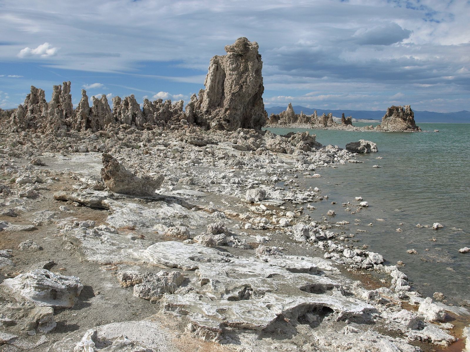
Mammoth Lakes Basin holds the county’s highest concentration of accessible alpine lakes, including Crystal Crag and Mammoth Crest. The June Lake Loop covers volcanic lake terrain around Rush Creek, Reversed Peak, and Silver Lake, a genuinely underrated alternative when Mammoth itself is crowded. Mono Lake and Lee Vining Canyon add South Tufa’s otherworldly formations and Lundy Canyon’s waterfalls.
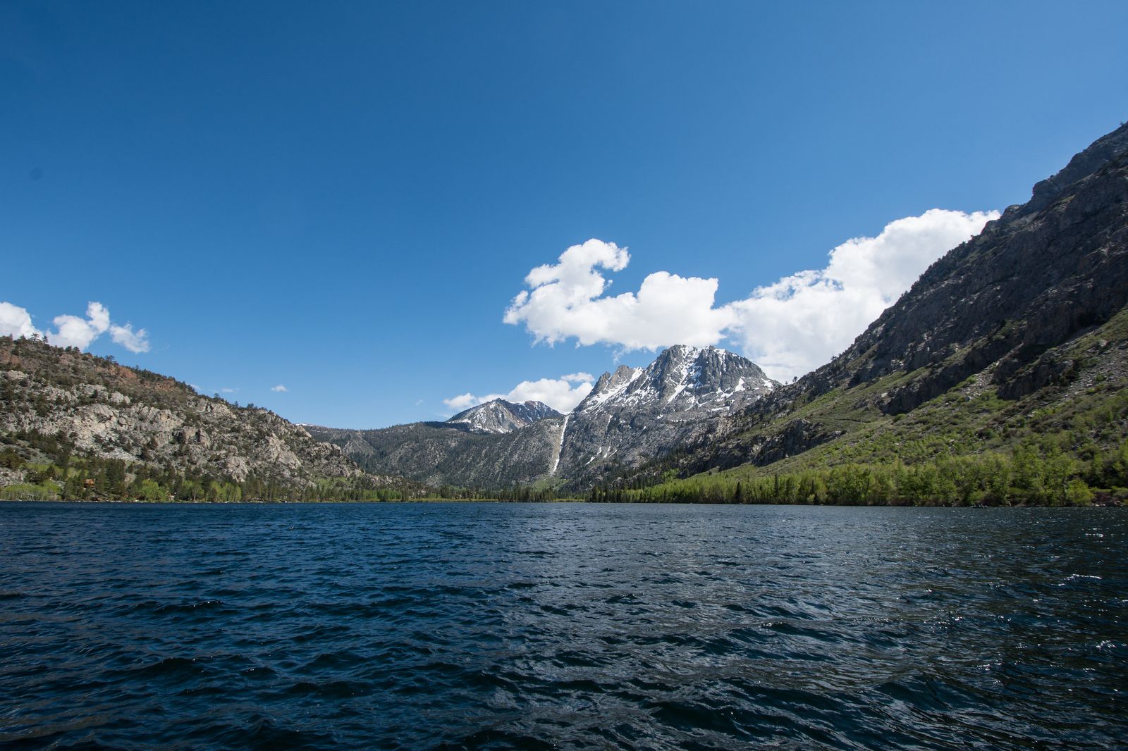
The Ansel Adams and John Muir Wilderness corridor rounds out the county’s most demanding and most photographed terrain, including Thousand Island Lake, Garnet Lake, and long stretches of the John Muir Trail itself.
Best hiking trails near Mammoth Lakes, Mono County
Mammoth Lakes Basin packs nine alpine lakes within about 5 miles of trail, all reachable from a handful of trailheads around Lake Mary and Coldwater Campground.
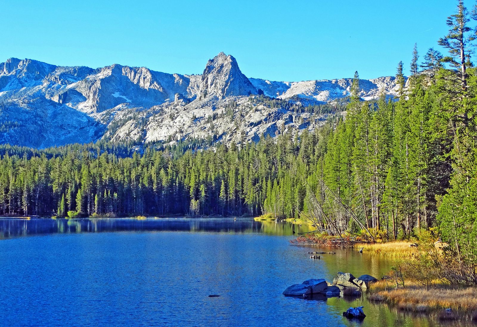
Crystal Lake Trail: Mammoth Lakes’ best easy alpine lake hike
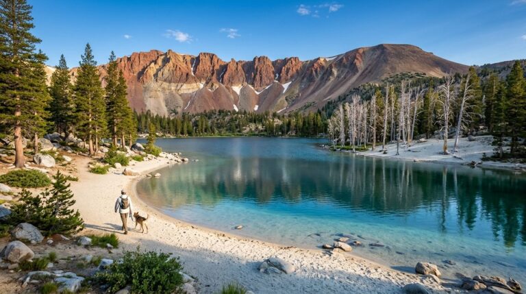
A 3-mile round trip with about 700 ft of gain from the Lake Mary Road trailhead to a crystal-clear alpine lake at 10,000 ft, with Crystal Crag towering above it. No permit is required, and summer wildflowers add real color to the approach. Parking can fill by 9 a.m. on weekends, so arrive early if you want a spot.
Duck Pass Trail: Mammoth Lakes’ most scenic high-country crossing
An 8.4-mile round trip to Duck Lake with about 1,600 ft of gain, cresting Duck Pass at 10,797 ft with spectacular views of Mammoth Crest before descending to the lake itself. It connects directly into John Muir Wilderness, and no permit is needed for a day hike from the Coldwater Campground trailhead.
Mammoth Crest Trail: Mammoth’s best panoramic ridge hike
An 8.5-mile round trip with about 2,000 ft of gain to an 11,053-ft summit ridge, delivering views of Mono Lake, the Ritter Range, and multiple 13,000-ft peaks in one sweep. The trailhead sits at Lake Mary Campground, and snow is genuinely possible even in June and September at this elevation, so check conditions regardless of the calendar date.
Best hiking trails in the Ansel Adams Wilderness, Mono County
Ansel Adams Wilderness covers roughly 228,000 acres straddling the Mono/Madera county line, named for the photographer whose images of this exact terrain helped build the case for its protection. Thousand Island Lake, Garnet Lake, Shadow Lake, Banner Peak, and Mount Ritter all sit on or near the John Muir Trail here.
Thousand Island Lake via Agnew Meadows: Mono County’s finest day hike
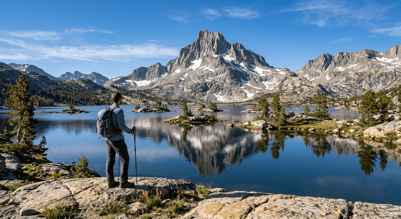
A 13.8-mile round trip from Agnew Meadows with about 1,600 ft of gain to a lake named for its roughly 1,000 granite islands, with Banner Peak (12,936 ft) as a backdrop that makes this one of the most photographed alpine lakes in California. A shuttle is required from Mammoth Mountain in peak season, and an overnight permit is required for camping. Check current Reds Meadow Road status before planning this trip; see the access alert below.
Garnet Lake: the Ansel Adams Wilderness’s most photographed destination
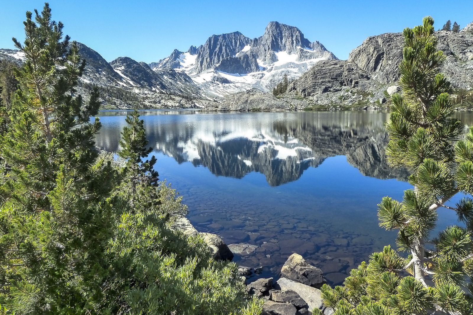
A 17-mile round trip from Agnew Meadows with about 2,200 ft of gain to a deep-blue, glacially carved lake with a genuinely striking Ritter Range reflection, one of the specific views Ansel Adams himself photographed. An overnight permit is required, and the same Mammoth Mountain shuttle serves this trailhead. This trip is directly affected by the 2026 Reds Meadow Road construction covered below; confirm current access before committing to it.
Reds Meadow Road access alert: what changed for 2026
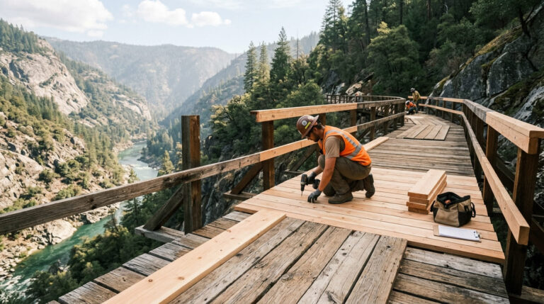
This is worth reading before planning any Reds Meadow, Devils Postpile, Rainbow Falls, Thousand Island Lake, or Garnet Lake trip this year. Reds Meadow Road is undergoing major reconstruction through the 2026 season, part of a longer-term project to improve access safety and emergency response times in the valley.
As a result, every valley campground except Reds Meadow Campground itself, Agnew Meadows, Minaret Falls, Pumice Flat, and Upper Soda Springs is closed for the entire season. Wilderness permit reservations for trailheads in the Reds Meadow area, including both JMT approaches and the Agnew Meadows corridor that Thousand Island Lake and Garnet Lake depend on, are only available on days the road is actually open to the mandatory shuttle.
This means a permit reservation you booked weeks in advance could still be affected by a closure day you didn’t know about when you booked it. Check Inyo National Forest’s current alerts before finalizing plans, since road status is genuinely dynamic during an active construction project and can change with little notice.
Rainbow Falls at Devil’s Postpile: Mono County’s must-do trail
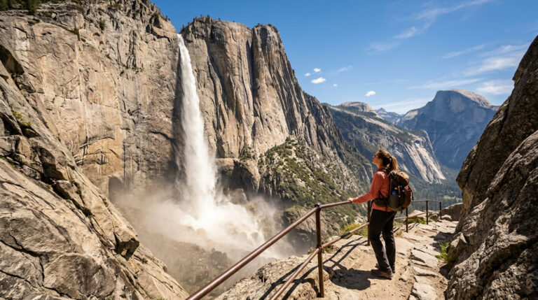
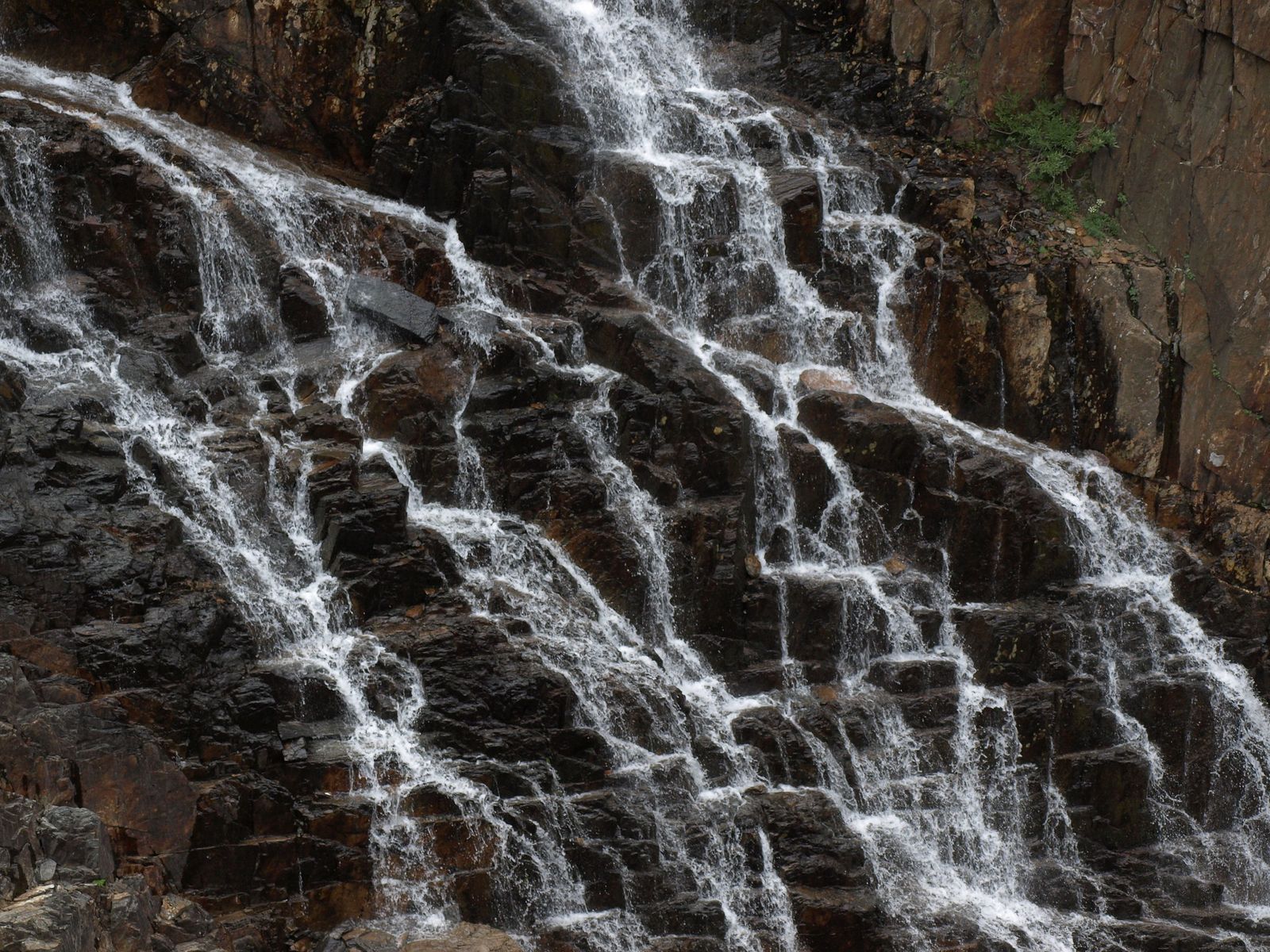
Rainbow Falls is a 101-ft waterfall on the Middle Fork San Joaquin River, reached via a roughly 2.5-mile round trip from the Devils Postpile ranger station, with the best rainbow effect in the mist typically visible around midday when the sun angle lines up right.
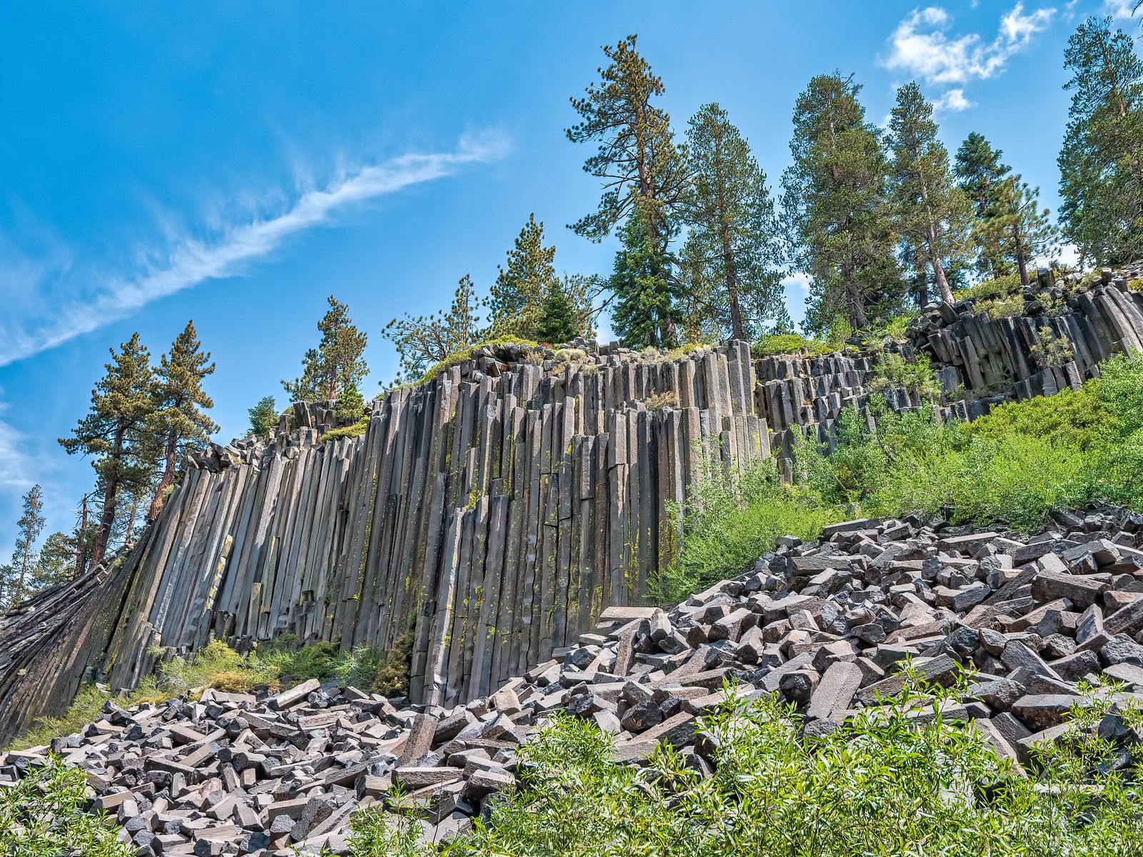
Devils Postpile National Monument itself, an easy 1.2-mile loop past 60-ft hexagonal basalt columns, sits right along the same access corridor and pairs naturally with the falls in one outing, making this one of the most efficient “two iconic sights, one trip” hikes in the entire county.
A mandatory shuttle from the Mammoth Mountain Adventure Center runs roughly mid-June through late September in a typical year, with a ticket fee in the $10–15 range; confirm current pricing and the exact 2026 schedule when booking, since both have shifted with the road construction above.
Best hiking trails near Mono Lake and June Lake, Mono County
Lundy Canyon Trail: Eastern Sierra’s best hidden waterfall hike
A 4.5-mile round trip with about 700 ft of gain north of Lee Vining, passing multiple waterfalls in a narrow canyon along with an active beaver dam. Fall brings golden aspens, peaking around October, and access is free via a rough dirt road that a standard passenger car can usually handle in dry conditions.
South Tufa Nature Trail: Mono Lake’s best easy geological walk
A 1-mile loop through tufa, calcium carbonate towers formed underwater along this ancient alkaline lake’s historic shoreline, with interpretive signs explaining the unusual geology throughout. A $3 per-person entry fee applies, migratory bird viewing peaks October through November, and the trail is accessible year-round, unlike most of the county’s higher-elevation options.
Mono County hiking permits and seasonal access guide
Overnight trips into Ansel Adams or John Muir Wilderness require an Inyo National Forest wilderness permit through the Recreation.gov quota system, plan ahead for this the same way you would for any backcountry trip, since popular entry points fill fast in peak season. The Mammoth shuttle is mandatory during peak season for Reds Meadow Valley access, and Devils Postpile itself charges roughly $8 per adult when the shuttle is required.
Most high-elevation Mono County trails only fully open June through October, with snow a real factor at both ends of that window; always check current conditions rather than assuming a fixed calendar date (and make sure to consult my complete gear checklist to be fully prepared for sudden weather changes at high altitudes).
Mono County packs an unusual amount of Eastern Sierra drama into one jurisdiction: alpine lakes, volcanic terrain, and an ancient lake with towers rising out of it, all within a couple of hours of each other.
Check the current Reds Meadow Road status before committing to Thousand Island Lake or Garnet Lake specifically, and carry real altitude and terrain awareness given how much of this county’s best hiking sits above 9,000 ft; the elevation itself is a factor here in a way it simply isn’t at lower-elevation California destinations.
Frequently asked questions about hiking trails in Mono County
Are hiking trails open near Mammoth Lakes right now?
Most are seasonal, but check current status carefully in 2026 specifically; Reds Meadow Road construction has closed most valley campgrounds and affects wilderness permit availability for the Agnew Meadows corridor. Mammoth Lakes Basin trails (Crystal Lake, Duck Pass, Mammoth Crest) are unaffected by this and follow normal seasonal snow patterns instead.
What are the best hiking trails near Mammoth Lakes, California?
Crystal Lake for an easy alpine lake hike, Duck Pass for a scenic high-country crossing, and Mammoth Crest for the best panoramic ridge views, all within Mammoth Lakes Basin and requiring no permit for a day hike.
Do I need a permit to hike near Mammoth Lakes?
Not for a standard day hike in Mammoth Lakes Basin. Overnight trips into Ansel Adams or John Muir Wilderness require a Recreation.gov permit reservation, and trailheads in the Reds Meadow area currently depend on road-open days due to 2026 construction.
What are the best hiking trails near June Lake, California?
The Rush Creek to Gem Lake corridor and the Reversed Peak area are the standout June Lake Loop options, offering volcanic lake terrain as a quieter alternative to the busier Mammoth Lakes Basin trails.
How do I see the Mono Lake tufas, and is there a hiking trail?
Yes, the South Tufa Nature Trail is an easy 1-mile loop with a $3 entry fee, walking directly among the calcium carbonate tower formations along the lake’s ancient shoreline.
How do I get to Rainbow Falls near Mammoth Lakes?
Via the mandatory shuttle from the Mammoth Mountain Adventure Center during peak season, then a roughly 2.5-mile round-trip walk from the Devils Postpile Ranger Station. Confirm current shuttle dates and pricing before you go, since the schedule has shifted with 2026’s road construction.