The 5 Best High-Altitude Hiking Trails in the Eastern Sierra, From an Accessible 13,000-Foot Summit to a Historic Cattle Route
This guide is a deliberate step up from my Mammoth Lakes trails guide; most of these hikes reach or approach 10,000 ft, with two topping out over 13,000 ft (and one exceeding 14,000 ft), part of the broader Mono County guide covering the rest of the Eastern Sierra. Here’s the short version: Mount Dana is the most accessible true 13,000-footer in the Sierra, White Mountain Peak is the easiest California 14er you’ll ever walk up, and Virginia Lakes is the trail to start with if this is your first time hiking at genuine altitude. Tackling these premier High-Altitude Hikes in Eastern Sierra terrain requires proper acclimatization, but rewards you with unparalleled alpine views.
Disclosure: Please note that some of the links below are affiliate links and at no additional cost to you, I may earn a commission. Know that I only recommend hiking gear I personally stand behind; when you use my affiliate links, it helps me run this blog and keep all of this content free of charge for readers (like you).
Five trails anchor this guide: Mount Dana, White Mountain Peak, Bloody Canyon, Virginia Lakes, and Green Creek to East Lake. These aren’t casual afternoon hikes; altitude, exposure, and route-finding are real factors even on the “easier” trails here, so I’ll be direct about what each one actually demands.
Key takeaways
- Most accessible true summit: Mount Dana, a 13,061-ft peak reached via an unmaintained but well-used trail; no technical climbing required.
- The easiest California 14er: White Mountain Peak, a straightforward walk up a gated research-station access road to 14,252 ft.
- The historic route: Bloody Canyon, a 19th-century cattle and wagon trail with a name earned from the terrain itself.
- Best first high-altitude hike: Virginia Lakes, a paved-road trailhead reaching nearly 9,800 ft, the easiest true alpine terrain to access by car in this entire guide.
- Best waterfalls-and-jagged-peaks combo: Green Creek to East Lake, multiple falls beneath the dramatic spires of Sawtooth Ridge.
- Altitude is the real hazard across every trail here, not just distance or elevation gain. My guide to high-elevation hiking in the Sierra Nevada covers acclimatization basics genuinely worth reading before attempting any of these.
Quick-glance comparison
| Trail | Distance (RT) | Elevation gain | Summit/high point | Permit |
|---|---|---|---|---|
| Mount Dana | ~5.3–5.8 mi | ~3,100–3,300 ft | 13,061 ft | None for day use |
| White Mountain Peak | ~14 mi | ~2,500–3,500 ft | 14,252 ft | None for day use |
| Bloody Canyon (to Walker Lake) | ~4.8–5.5 mi | ~640–650 ft | Walker Lake | None |
| Virginia Lakes (Frog Lakes / Summit Lake) | ~3.2 mi / ~10 mi | ~571 ft / ~2,510 ft | Summit Lake, 10,183 ft | Wilderness permit |
| Green Creek to East Lake | ~7.7–8 mi | ~1,800–2,076 ft | East Lake, 9,458 ft | Wilderness permit |
Mount Dana Trail: the most accessible true 13,000-footer in the Sierra
This is the trail I’d recommend first in this entire guide, genuinely hard, but the most rewarding elevation-to-effort ratio of anything here.
Trailhead access and parking at the Tioga Pass Entrance Station
Free roadside parking right at the Tioga Pass entrance station on Highway 120, the same general trailhead area used for Gaylor Lakes, though Mount Dana heads a completely different, unmaintained direction. No permit required for a day trip.
Difficulty, distance, and elevation gain to Mount Dana’s summit
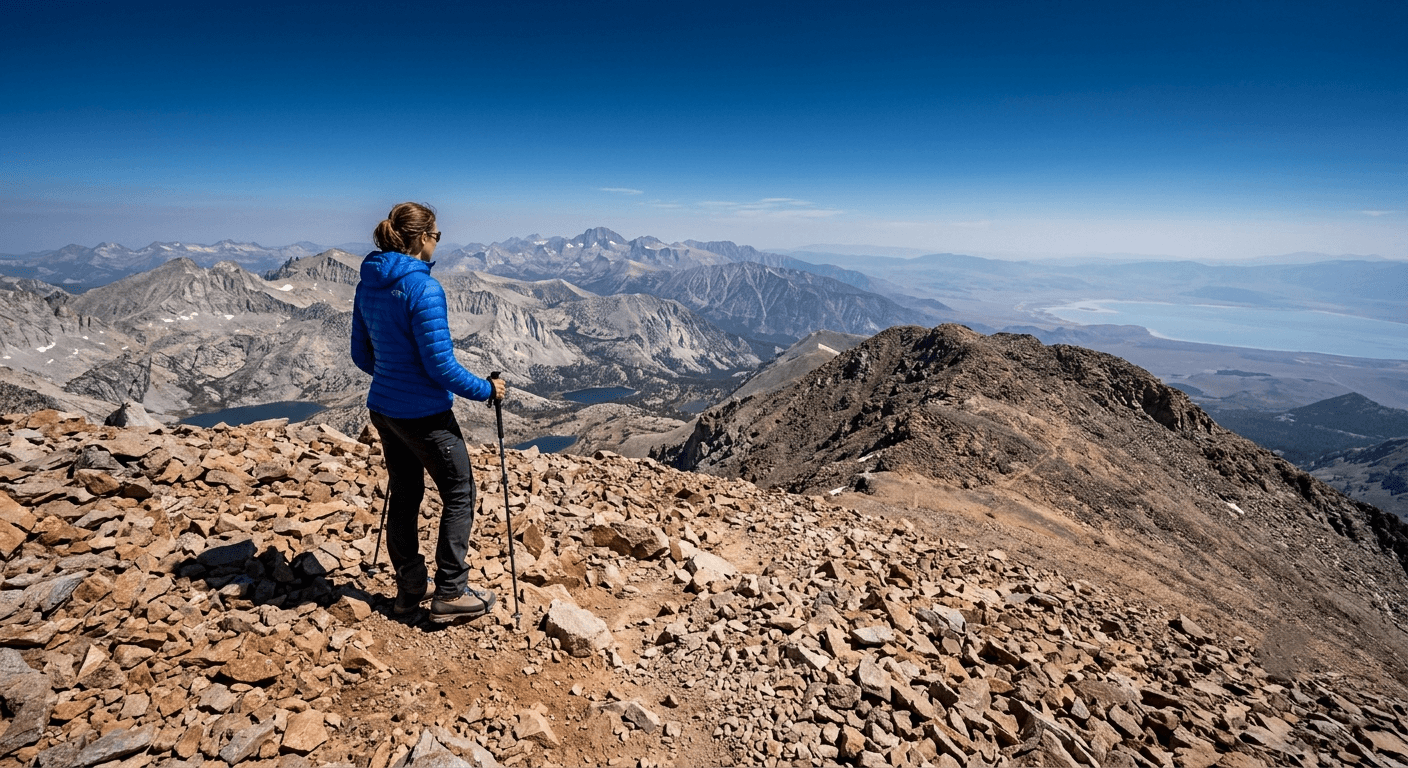
Sources cluster tightly here: roughly 5.3 to 5.8 miles round trip with 3,100 to 3,300 ft of gain to the 13,061-ft summit, strenuous, with the final three-quarters of a mile gaining over 1,000 ft alone on loose talus.
What you’ll see: Yosemite’s second-highest peak without a maintained trail
Mount Dana is Yosemite’s second-highest peak, just 61 ft short of Mount Lyell, but far more accessible, reached via a well-used but officially unmaintained route rather than a constructed trail. The summit marks Yosemite’s eastern boundary and literally sits on the western edge of the Ansel Adams Wilderness, with views stretching from Yosemite’s backcountry on one side to Mono Lake on the other.
Best time to hike Mount Dana: midsummer only; snow lingers into July
Tioga Road typically stays closed until late spring, and snowfields on the upper mountain can persist into July depending on the winter; this is a narrower seasonal window than most trails in this guide.
White Mountain Peak Trail: the easiest California 14er you’ll ever walk up
If Mount Dana whets your appetite for altitude, this is the trail that tests whether you can actually handle it for a full day.
Trailhead access and parking at the locked gate near Barcroft Station
A locked gate blocks vehicle access about 1.6 to 2 miles below Barcroft Station, at roughly 11,670 ft. Once a year, on “Open Gate Day,” the University of California’s White Mountain Research Station opens this gate to let hikers drive further, cutting about 4 miles off the round trip.
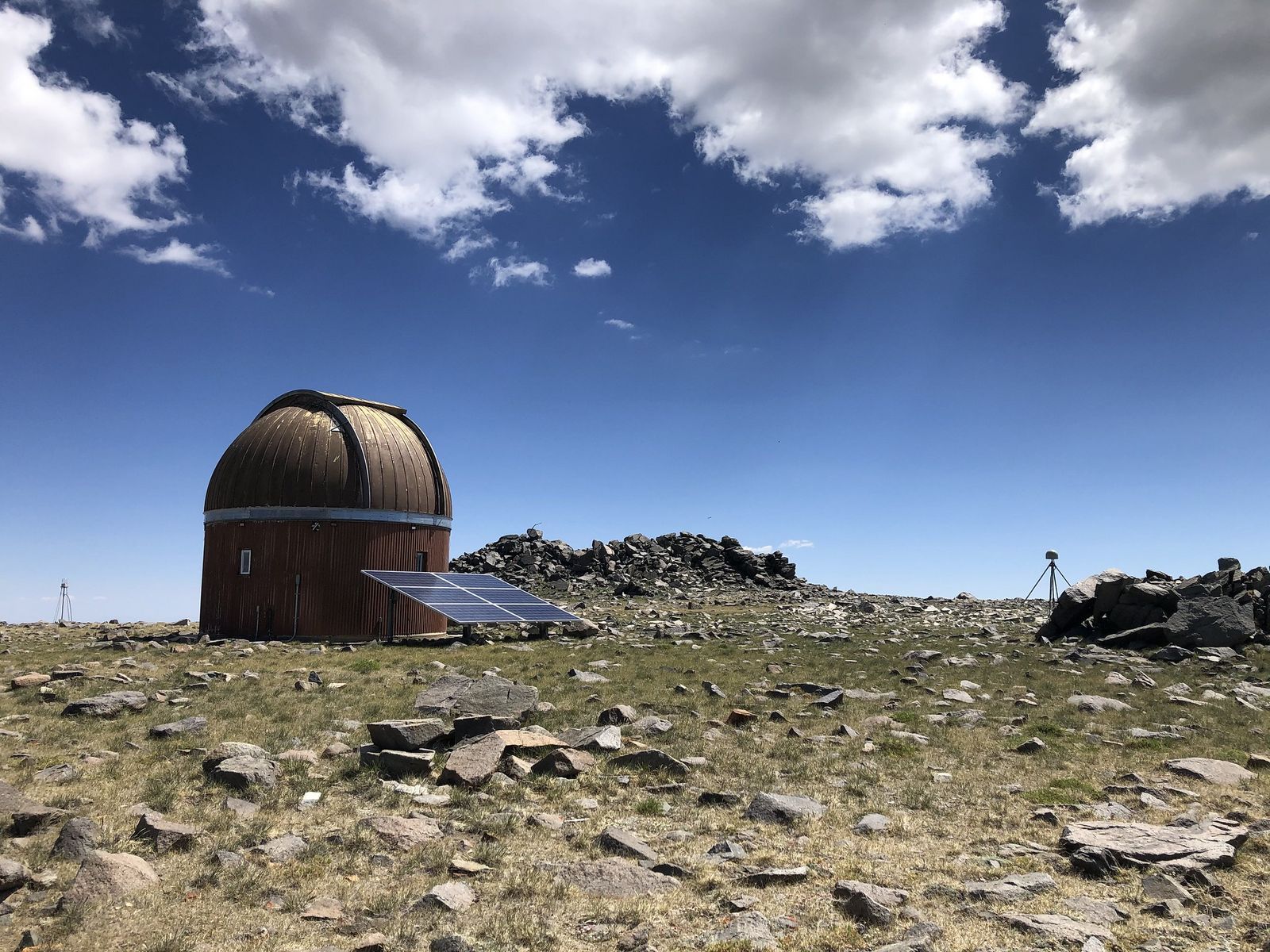
Difficulty, distance, and elevation gain to White Mountain Peak’s summit
Expect roughly 14 miles round trip, entirely above 11,600 ft, to the 14,252-ft summit. Elevation gain estimates vary by source depending on how the rolling terrain is counted, commonly cited between 2,500 and 3,500 ft total.
What you’ll see: California’s third-highest peak, reachable without technical climbing
This is one of only two 14,000-ft peaks in California outside the main Sierra Nevada crest, and the easiest of the state’s 14ers to summit; a graded dirt road leads the entire way, popular enough that some hikers even bike or ride it. No technical climbing skill required, just genuine fitness and altitude tolerance.
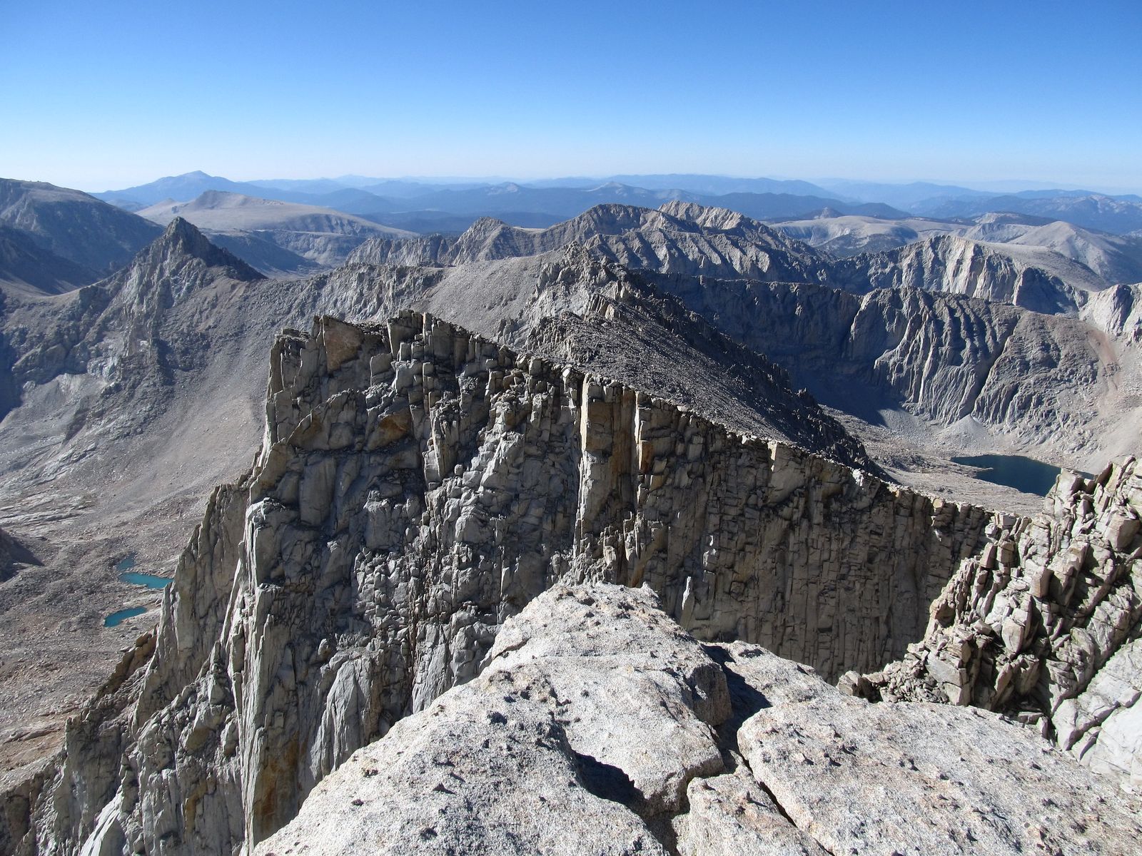
Best time to hike White Mountain Peak: a long summer day above 12,000 feet
The access road typically clears of snow between late June and September. Sustained exposure above 12,000 ft for most of the day makes prior acclimatization, ideally a few days at elevation beforehand, a real safety factor here, not an optional precaution.
Bloody Canyon Trail: a historic route with a name it earned
This is the trail with the best story in this guide, and the one where I’d encourage you to pick your own difficulty level rather than assume one distance fits everyone.
Trailhead access and parking at Walker Lake, Mono County
Reached via a 3.5-mile dirt road (Forest Road 1S23, Sawmill Canyon Road) off Highway 395 to a small campground at Walker Lake, a different, smaller lake than the larger Walker Lake near the Nevada border. No permit required, no fee.
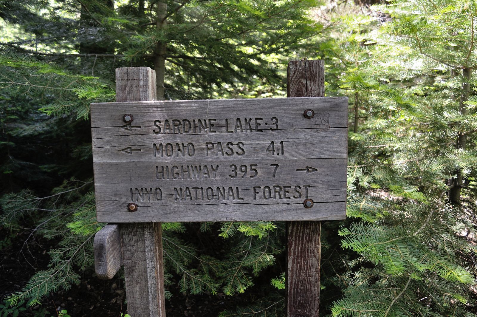
Difficulty, distance, and elevation gain through Bloody Canyon
Pick your version: the popular stroll to Walker Lake itself runs 4.8 to 5.5 miles round trip with just 640 to 650 ft of gain, genuinely easy. Continuing further up through the canyon toward Mono Pass and the Sardine Lakes is a much bigger undertaking, commonly 8 to 13-plus miles round trip with 2,900 to 3,600-plus ft of gain depending on your turnaround point.
What you’ll see: a historic route once used to drive cattle into Yosemite’s high country
This 19th-century wagon and cattle route earned its name from the injuries sustained by horses and mules navigating its sharp, rugged terrain before roads existed. Higher up, the canyon opens to genuinely spectacular views down to Mono Lake, and, deeper in, connects toward Mono Lake’s broader basin, the same lake covered in its own dedicated guide in this series.
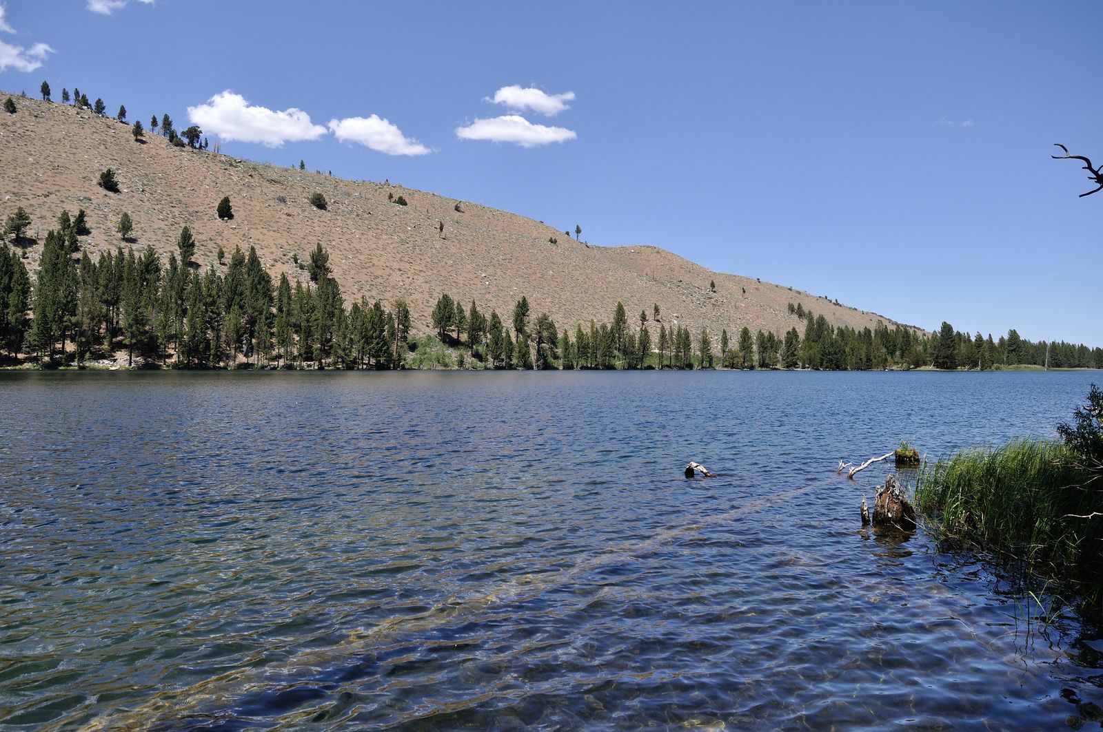
Best time to hike Bloody Canyon: early summer for wildflowers in the lower canyon
Wildflowers peak in the lower canyon in early-to-mid summer; higher sections can hold snow well into the season, so check current conditions before committing to the longer Mono Pass option.
Virginia Lakes Trail: the easiest true alpine trailhead to reach by car
This is the trail I’d point a first-timer to if genuine high-altitude scenery matters more than a physical challenge.
Trailhead access and parking at Virginia Lakes, Hoover Wilderness (wilderness permit required)
A paved road reaches the trailhead directly, at nearly 9,800 ft, one of the most car-accessible true high-alpine starting points anywhere in the Eastern Sierra. A free wilderness permit is required.
Difficulty, distance, and elevation gain to Frog Lakes and Summit Lake
These are genuinely two different trips: Frog Lakes alone is a gentle 3.2-mile round trip with about 571 ft of gain, passing five lakes in the first 1.6 miles. Pushing on to Summit Lake extends the round trip to about 10 miles with 2,510 ft of total gain, a considerably bigger day.
What you’ll see: a chain of alpine lakes at the edge of Yosemite’s eastern boundary
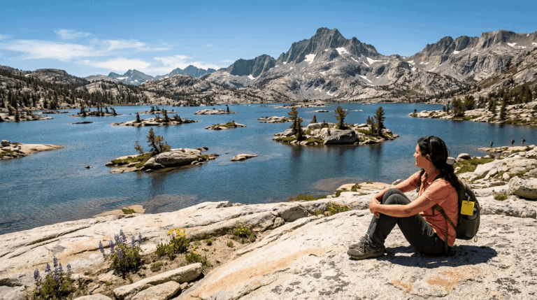
Big Virginia Lake, Blue Lake, Cooney Lake, and the Frog Lakes all sit within the first two miles, framed by Black Mountain and Dunderberg Peak, genuinely one of the best scenery-per-mile ratios in the Eastern Sierra. Summit Lake itself sits right at the edge of Yosemite’s wilderness boundary.
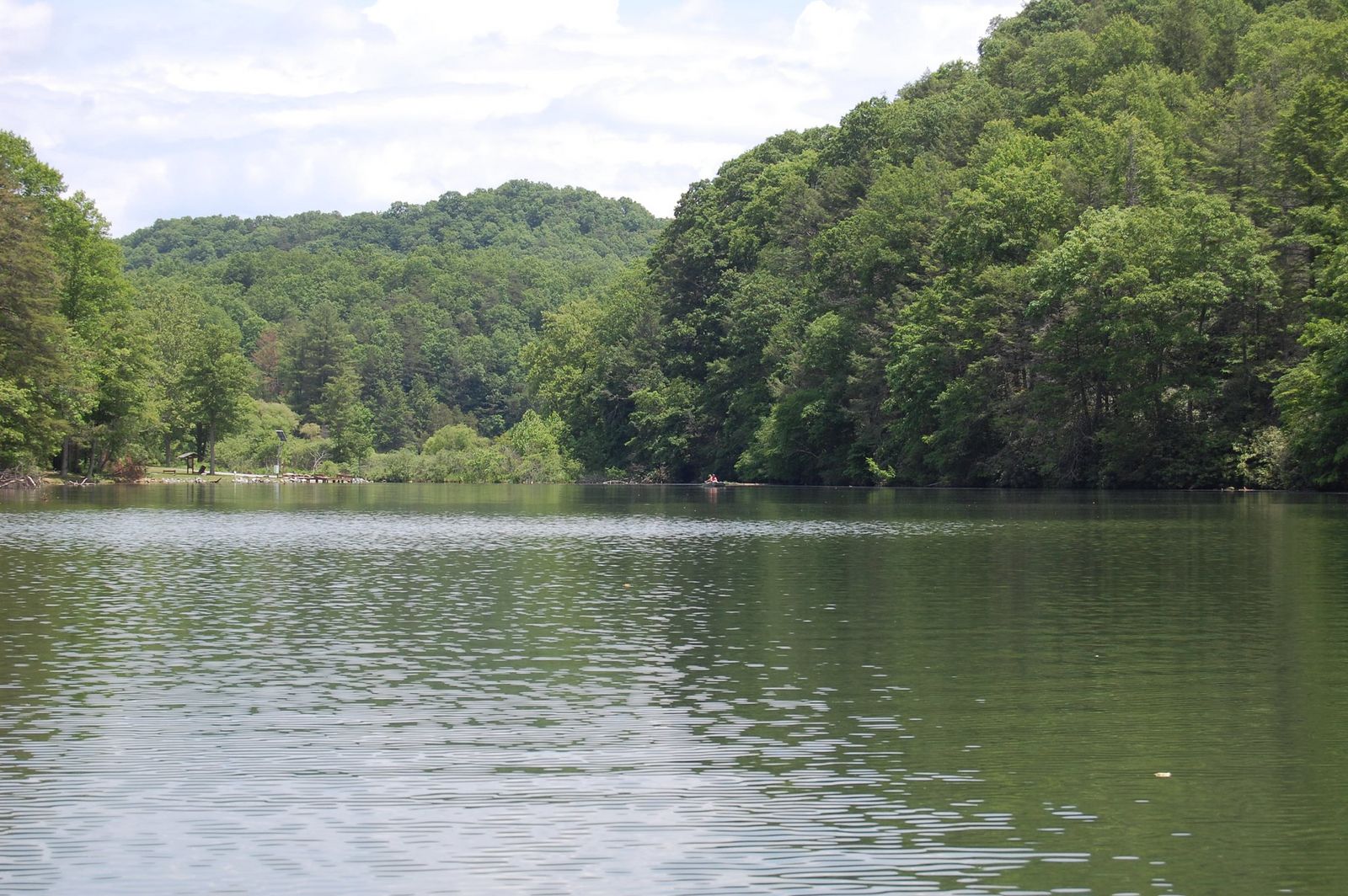
Best time to hike Virginia Lakes: one of the easiest high-alpine trailheads to reach by car
Accessible essentially whenever the road is clear of snow, typically summer through early fall, no long approach hike required just to reach genuine alpine terrain.
Green Creek Trail to East Lake: waterfalls beneath Sawtooth Ridge
This closes out the guide on its most visually dramatic entry, waterfalls and jagged peaks together in one trail.
Trailhead access and parking at Green Creek, Hoover Wilderness (wilderness permit required)
A Forest Service trailhead near Bridgeport, reached via Green Creek Road off Highway 395; the same Hoover Wilderness permit system as Virginia Lakes applies here, via a different access road.
Difficulty, distance, and elevation gain to East Lake
Expect roughly 7.7 to 8 miles round trip with about 1,800 to 2,076 ft of gain to East Lake at 9,458 ft, moderate-to-demanding, longer than Virginia Lakes but shorter than Mount Dana or White Mountain Peak.
What you’ll see: a waterfall-lined canyon beneath Sawtooth Ridge
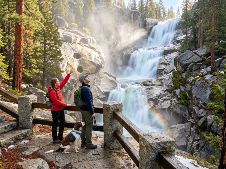
Multiple waterfalls line Green Creek on the way up, with the jagged spires of Sawtooth Ridge dominating the skyline above East Lake, a genuinely different character than Virginia Lakes’ gentler basin scenery, with real vertical drama instead.
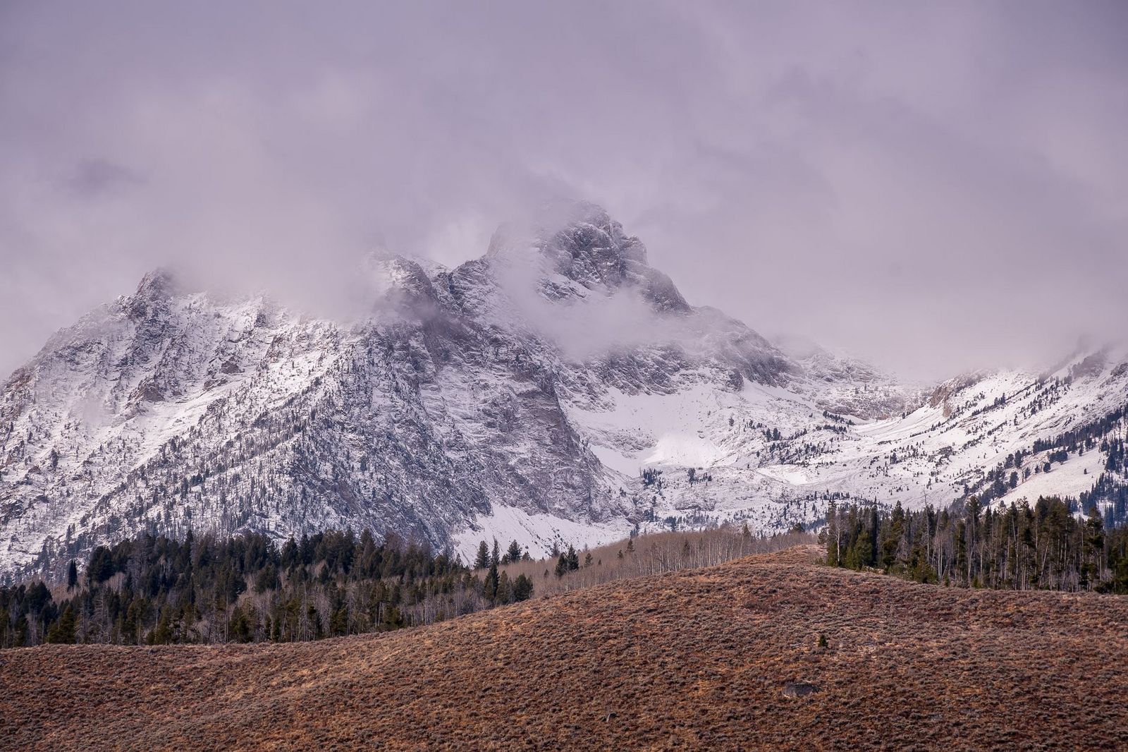
Best time to hike Green Creek: fall for aspen color along the lower trail
The lower canyon’s aspen groves turn genuinely vivid in fall, a distinct seasonal draw from the summer-only alpine peaks elsewhere in this guide.
The trail I’d actually start with
If you’ve only got one high-altitude hike in you this trip, make it Virginia Lakes to Frog Lakes; it delivers real alpine scenery for minimal physical cost, and the wilderness permit is free and easy to get same-day. Mount Dana is the natural next step once you want an actual summit, and White Mountain Peak is the one to save for a day you’re genuinely acclimatized and ready to commit to. Bloody Canyon rewards picking your own difficulty level rather than assuming one distance fits everyone.
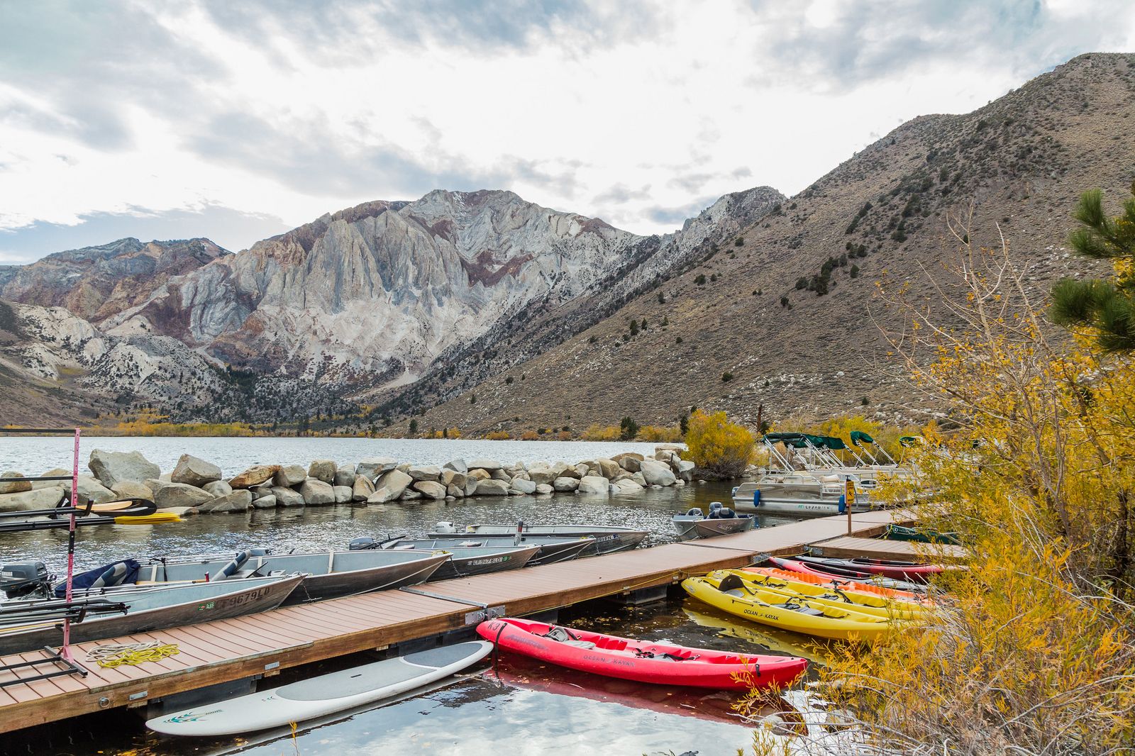
Mammoth’s hot springs, the volcanic shores of Horseshoe Lake, and the stunning alpine setting of Convict Lake make a genuinely good recovery pairing after a day at altitude; my guide to Mono County’s hot springs and hiking combos covers that pairing directly.
Frequently asked questions
Are dogs allowed on Mount Dana or White Mountain Peak?
It depends on which section. Dogs are prohibited on all Yosemite trails (which affects the lower portion of Mount Dana), but are generally permitted in Inyo National Forest, which includes most of White Mountain Peak’s route; check current signage at each trailhead to be sure.
Is Mount Dana harder than Mount Whitney?
Mount Dana is shorter and gains its elevation faster (over 3,000 ft in under 6 miles versus Whitney’s roughly 6,100 ft over 22 miles round trip), making it a more intense, compressed effort per mile, but Whitney’s much greater overall distance and elevation typically make it the harder full-day undertaking.
How do you deal with altitude sickness on Eastern Sierra trails?
Acclimatize for at least a day or two at elevation before attempting these trails if you’re coming from sea level, ascend gradually, stay well hydrated, and turn back if you develop a worsening headache, nausea, or dizziness. These are genuine safety symptoms, not something to push through.
Is White Mountain Peak the third-highest peak in California?
Yes, at 14,252 ft, it’s California’s third-highest summit, behind only Mount Whitney and Mount Williamson.
Do you need a permit for Virginia Lakes or Green Creek?
No permit is required for day hiking in Virginia Lakes or Green Creek. However, if you plan to camp overnight in the Hoover Wilderness, you must obtain a wilderness permit.
Is Bloody Canyon dangerous despite its name?
Not especially. Despite the dramatic history behind it, the name comes from injuries sustained by horses and mules on the sharp, rugged terrain during 19th-century cattle drives, not any particular modern hazard. Sturdy footwear and normal trail caution are enough for the popular Walker Lake stretch.