The 5 Best High Elevation Hiking Trails in Fresno County
Fresno County saves its hardest hiking for last: a day-hike summit topping 10,000 feet, a 41-mile backcountry classic crossing an 11,926-foot pass, and everything in between. If you’ve worked through Kings Canyon National Park, Sequoia National Forest, family-friendly trails, and the San Joaquin River Gorge elsewhere, this guide to high-elevation hiking trails in Fresno is where the county gets genuinely serious. Start at the Fresno County trail guide for the complete picture.
Disclosure: Please note that some of the links below are affiliate links and at no additional cost to you, I may earn a commission. Know that I only recommend hiking gear I personally stand behind; when you use my affiliate links, it helps me run this blog and keep all of this content free of charge for readers (like you).
This guide features high elevation hiking trails in Fresno across two distinct zones: the Kaiser Wilderness, rising immediately north of Huntington Lake in the Sierra National Forest, and the high country accessible from Kings Canyon National Park’s Cedar Grove gateway, including the Rae Lakes basin and the John Muir Trail corridor. Different trailheads, different permit rules, and, by a wide margin, different levels of commitment were required.
Key takeaways:
- The signature day-hike summit: Kaiser Peak, 10.4-plus miles to a 10,320-foot peak, no permit required.
- The approachable wilderness taste: George Lake is genuinely longer than often described, but still doable in a day.
- The multi-lake extension: Chain Lakes, the same trailhead as George Lake, continuing further along the ridge.
- The short, high-payoff alternative: Big Baldy, a granite dome summit in well under 5 miles, on the Kings Canyon side.
- The bucket-list trek: the Rae Lakes Loop, roughly 41 miles over 3 to 6 days, by far the most demanding entry in this entire county.
Quick-glance comparison
| Trail | Distance (RT) | Elevation gain | Permit |
|---|---|---|---|
| Kaiser Peak | ~10.4–10.8 mi | ~2,600–3,000 ft | No, for day hikes |
| George Lake | ~10.2 mi | ~1,800 ft+ | No, for day hikes |
| Chain Lakes | ~12 mi+ | ~2,000 ft+ | No, for day hikes |
| Big Baldy | ~4.4–4.7 mi | ~600–1,030 ft | No |
| Rae Lakes Loop | ~41 mi | Thousands of ft, over Glen Pass | Yes, wilderness permit + bear canister |
If altitude and multi-thousand-foot elevation gain are new territory for you, my physical health benefits guide is worth reading before any of the first three trails here.
Kaiser Peak Trail
This is the signature day hike of the Kaiser Wilderness, a genuine summit push that somehow still doesn’t require a permit.
Trailhead access: Huntington Lake, no permit required for day hikes
The main route starts near the D&F Pack Station at the end of Deer Creek Road, off Huntington Lake Road. Despite reaching a 10,320-foot summit, no wilderness permit is required for a day trip here; only overnight backpacking in the wilderness requires one.
Difficulty, distance, and elevation gain to the summit
Expect roughly 10.4 to 10.8 miles round trip with 2,600 to 3,000 feet of gain, the most demanding day hike in this guide short of committing to the multi-day Rae Lakes Loop.
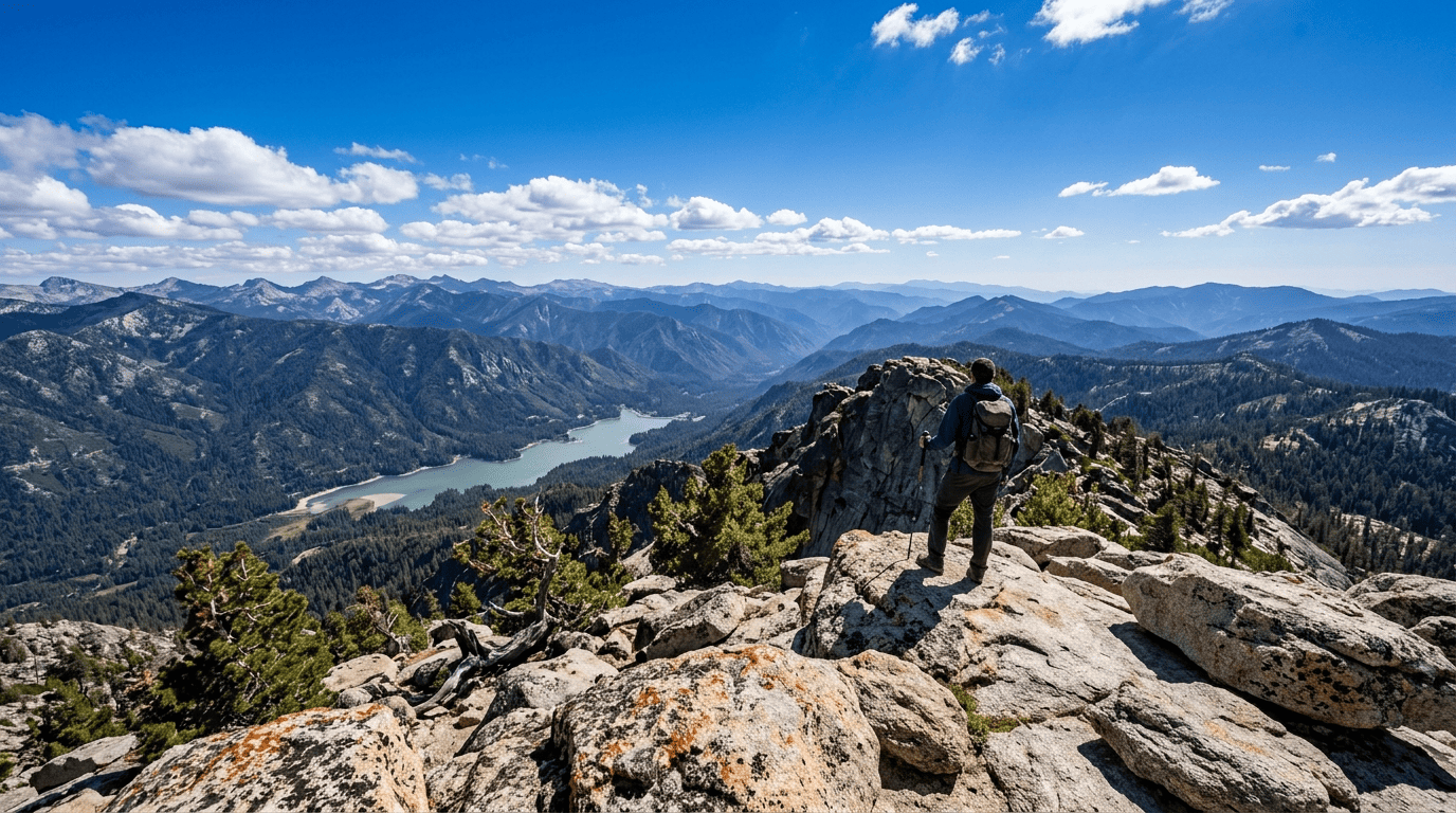
What you’ll see: a 360° view from one of the Sierra National Forest’s highest day-hike summits
The summit takes in Huntington Lake to the south, the Kaiser Wilderness’s alpine lakes, and on clear days, views reaching toward Yosemite to the north and Kings Canyon to the south. Worth knowing honestly: the 2020 Creek Fire, one of the largest single fires in California history, burned the first mile of this trail near the D&F Pack Station trailhead; expect some eroded, ash-covered ground early on, though the majority of the hike climbs well above the burn scar into healthy forest and open granite.
Best time to hike Kaiser Peak: summer only, snow lingers into June
Snow typically begins falling in October and doesn’t fully clear until early June at this elevation, a genuine planning constraint, not just a preference.
George Lake Trail (Kaiser Wilderness)
This is the trail I’d call the true entry point into Kaiser Wilderness backcountry scenery, though it runs longer than a lot of trip planning tools suggest.
Trailhead access: Potter Pass Trailhead, Badger Flat, no permit for day use
Park at the Badger Flat trailhead area, with bear lockers and restrooms on site. The wilderness permit required in this area applies to overnight camping only, not day hikes; you can hike to George Lake and back in a day with no permit at all.
Difficulty, distance, and elevation gain to George Lake
The Forest Service’s own trailhead information puts George Lake at 5.1 miles one-way, meaning roughly 10.2 miles round trip, notably longer than a commonly cited ~7-mile estimate. Budget accordingly; this is closer in effort to Kaiser Peak than a quick, easy alternative.
What you’ll see: a granite-basin lake just inside the wilderness boundary
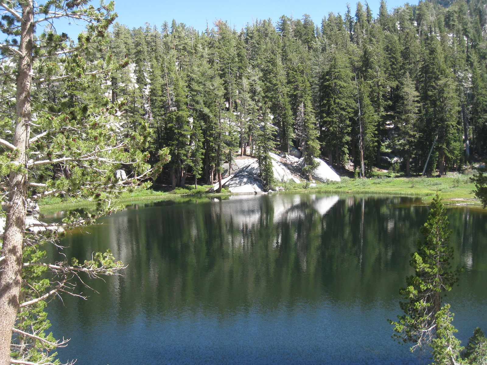
George Lake sits in genuine granite-basin terrain just past the Kaiser Wilderness boundary, reached via Potter Pass at 8,980 feet along the way, real backcountry scenery achievable as a long day trip rather than requiring an overnight commitment.
Best time to hike George Lake: a demanding but achievable day trip into true wilderness
Late summer and early fall bring genuinely low water along this route; carry more than you think you’ll need, since Lower Twin Lake is sometimes the first reliable water source.
Chain Lakes Trail (Kaiser Wilderness)
If George Lake isn’t enough lake for one day, this trail from the same trailhead keeps going.
Trailhead access: shares the Potter Pass Trailhead with George Lake
Same trailhead, same no-permit-for-day-use rule as George Lake; this trail simply continues further along the ridge past George Lake toward College, Campfire, and Jewel Lakes.
Difficulty, distance, and elevation gain to the Chain Lakes
This runs longer than George Lake alone, likely 12 miles or more round trip with over 2,000 feet of gain, though I have less precise sourcing for this exact figure than for George Lake specifically. Budget a full, demanding day.
What you’ll see: a string of alpine lakes along the Kaiser Ridge
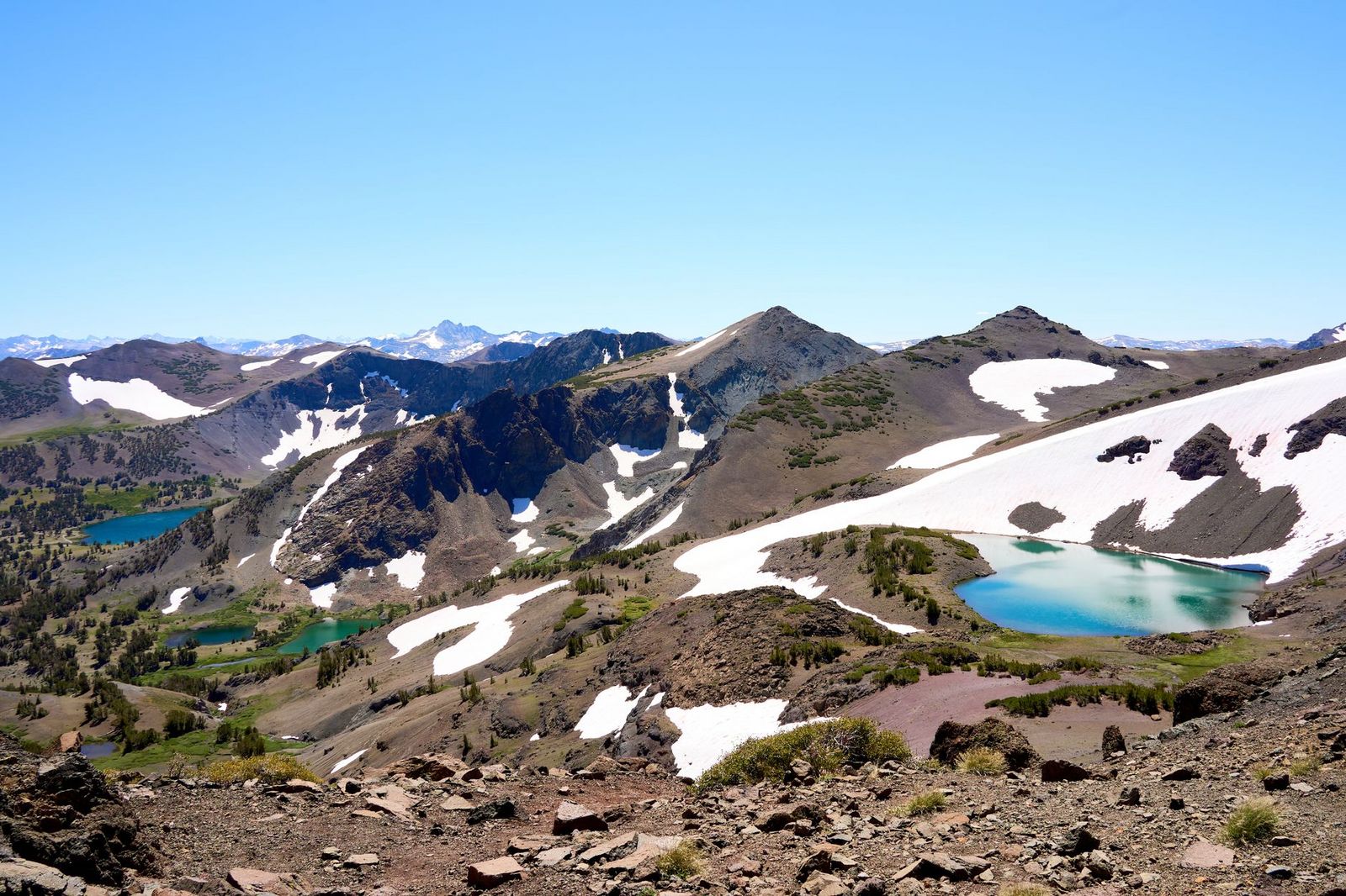
Past George Lake, the trail becomes notably less maintained as it strings together College, Campfire, and Jewel Lakes, a genuinely different, more remote experience than the well-trodden path to George Lake alone.
Best time to hike Chain Lakes: midsummer, before late-season drawdown
These shallow alpine lakes visibly shrink by late summer; midsummer gives you the fullest, most photogenic version of this multi-lake chain.
Big Baldy Trail (Kings Canyon Backcountry)
This is the shortest, most accessible high-elevation summit in this entire guide and the only trail here reached from the Kings Canyon National Park side rather than Huntington Lake.
Trailhead access: a roadside pullout on the Generals Highway
Park at the small, signed layby on the Generals Highway (CA-198), about 6.6 miles south of the Highway 180 junction; no permit required. Worth knowing: dogs aren’t allowed on this trail.
Difficulty, distance, and elevation gain to Big Baldy’s summit
It’s 4.4 to 4.7 miles round trip with 600 to 1,030 feet of gain to the 8,209-foot granite dome summit, a notably gentler high-elevation hike than Kaiser Peak, with most of the climbing concentrated in a few short pushes.
What you’ll see: a granite dome overlooking the world’s largest sequoia grove
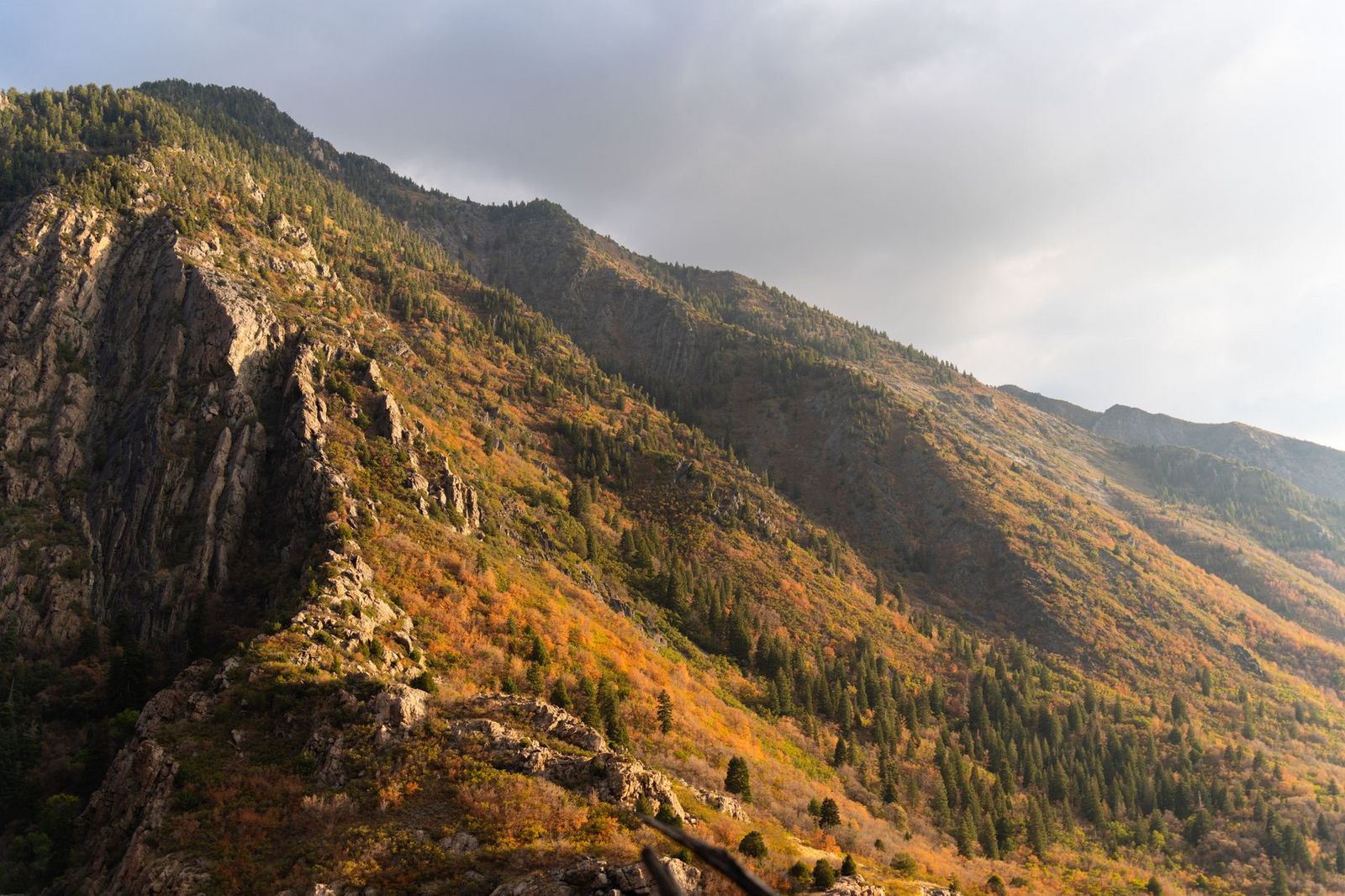
The summit looks directly down into Redwood Canyon, home to Redwood Mountain Grove, widely cited as the largest remaining grove of giant sequoias on Earth, with the Great Western Divide’s peaks visible beyond it. This is the one trail in this guide that genuinely bridges the high-elevation theme with the sequoia groves covered in my Kings Canyon and Sequoia National Forest guides.
Best time to hike Big Baldy: a shorter high-elevation option than Kaiser Peak
The exposed upper ridge and summit have zero cover, so this is a morning hike whenever summer thunderstorms are a possibility; otherwise, it’s comfortable across a longer season than the higher Kaiser Wilderness trails.
Rae Lakes Loop (Kings Canyon High Country)
This is, without close competition, the single most ambitious trail covered anywhere in this county.
Trailhead access: Road’s End, Cedar Grove wilderness permit and bear canister required
This shares its starting point with the Mist Falls day hike covered in my Kings Canyon guide, but continues dozens of miles deeper into the backcountry. A wilderness permit is required, along with a bear canister for food storage; reserve well ahead, since quotas for popular summer dates fill up months in advance.
Difficulty, distance, and elevation gain on the full loop
It’s roughly 41 miles, typically completed over 3 to 6 days depending on pace, crossing Glen Pass at 11,926 feet by a wide margin, the longest, most demanding trek anywhere in this Fresno County.
What you’ll see: one of the Sierra Nevada’s most iconic multi-day treks
The route passes Mist Falls, climbs through Paradise Valley, and strings together Dollar Lake, Arrowhead Lake, and the turquoise Rae Lakes basin itself before the push over Glen Pass, widely regarded as one of the finest multi-day backpacking loops in California.
One serious safety note: early-season river crossings, particularly at Woods Creek, can be genuinely hazardous, and the Park Service has explicitly warned that crossings may not be safely passable until sometime in July following heavy snow years, worth real attention alongside my water hazards guide before you commit to an early-summer date.
Best time to hike Rae Lakes Loop: reserve a permit months ahead for summer
Beyond the permit logistics, Glen Pass itself may remain snow-covered and impassable into early summer following big winters. Confirm current conditions, not just permit availability, before you finalize dates.
Which of these five to hike first
If you want a serious day-hike summit without backcountry logistics, Kaiser Peak is the clear pick. If you want a taste of true wilderness without an overnight commitment, George Lake delivers it; just budget for the real distance. And if the Rae Lakes Loop has been on your list, this guide’s other four trails all make reasonable training hikes for exactly that trip.
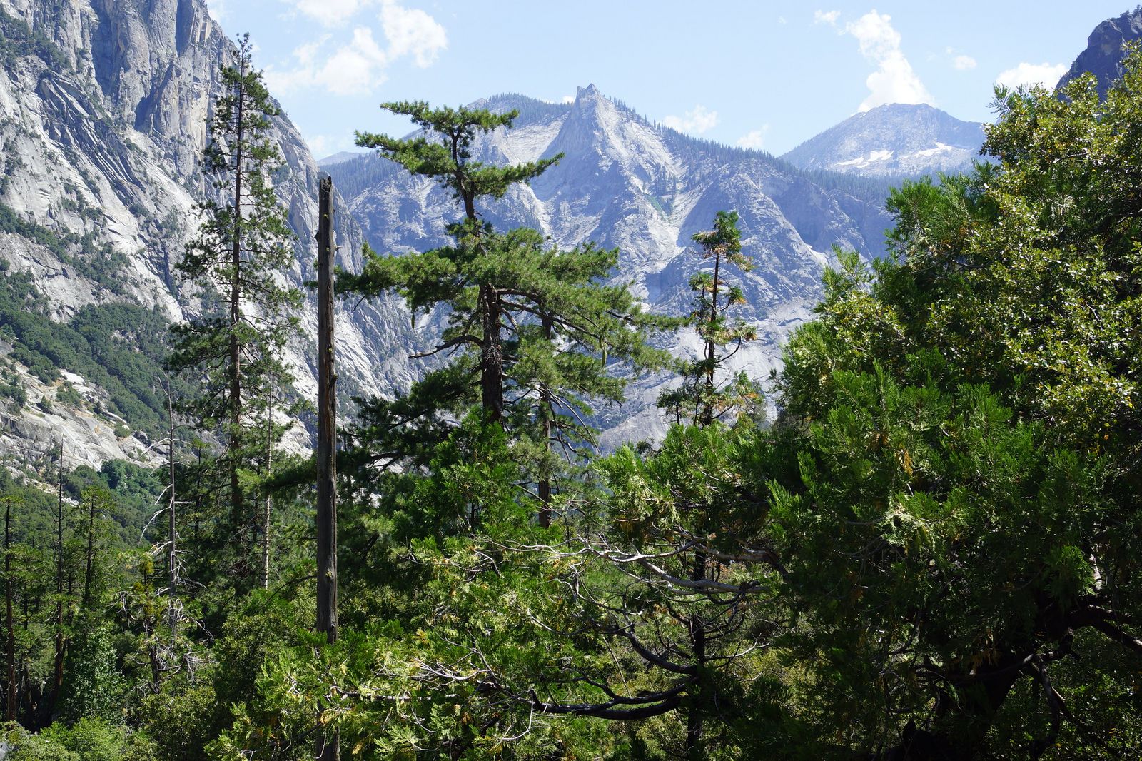
Frequently asked questions
Do you need a permit to hike in the Kaiser Wilderness?
Only for overnight camping. Day hikes to Kaiser Peak, George Lake, and Chain Lakes all require no permit at all.
How hard is Kaiser Peak?
Genuinely hard for a day hike over 10 miles round trip with roughly 2,600 to 3,000 feet of gain to a 10,320-foot summit, though the trail itself is well-graded rather than technical.
Is Big Baldy an easier alternative to Kaiser Peak?
Yes, significantly at under 5 miles round trip with 600 to 1,030 feet of gain, it’s a fraction of the distance and effort while still delivering a genuine high-elevation granite summit view.
How long does the Rae Lakes Loop take?
Most backpackers complete it in 3 to 4 days, though the full range runs 3 to 6 days depending on pace and how much time you want to spend at the lakes themselves.
Do you need a wilderness permit for Rae Lakes Loop?
Yes, along with a bear canister for food storage, reserve well in advance, since summer quotas at this popular trailhead can fill months ahead.
What is the highest hiking trail in Fresno County?
The Rae Lakes Loop reaches the highest point of any trail in this guide at Glen Pass, 11,926 feet. For a day hike specifically, Kaiser Peak’s 10,320-foot summit is the highest achievable without an overnight permit.