Best Hiking Trails in Calaveras County, California
Calaveras County squeezes giant sequoias, granite alpine wilderness, a volcanic wildflower mesa, and a Pacific Crest Trail pass into one Sierra foothills county, a geological range that most counties this size simply don’t have. It’s also home to the longest continuously operated tourist attraction in California, dating back to a giant sequoia discovery in 1852 that’s still drawing hikers to the same grove today. Few places let a single week of hiking span a 1,200-year-old tree stump and an 8,700-ft mountain pass without leaving the same county. Exploring the diverse Hiking Trails in Calaveras County provides an unparalleled journey through California’s deepest natural and gold rush history.
Disclosure: Please note that some of the links below are affiliate links and at no additional cost to you, I may earn a commission. Know that I only recommend hiking gear I personally stand behind; when you use my affiliate links, it helps me run this blog and keep all of this content free of charge for readers (like you).
Key takeaways
- Calaveras County spans three hiking zones: Calaveras Big Trees State Park near Arnold, the Mokelumne Wilderness around Lake Alpine and Ebbetts Pass, and the Gold Country foothills around Murphys and Angels Camp.
- Calaveras Big Trees’ North Grove was the first giant sequoia grove ever publicized to the outside world, discovered in 1852; its felled “Discovery Tree” stump remains a park centerpiece.
- Dogs aren’t allowed on any trail in Calaveras Big Trees State Park, only in picnic areas, campgrounds, and on roads, on leash.
- The Mokelumne Wilderness requires no permit for day use and has no quota, though free overnight wilderness permits are required for backpacking.
- Highway 4 to Lake Alpine and Ebbetts Pass closes with the first heavy snow, typically November through May; check current Caltrans status before a high-country trip outside summer.
Related
- 5 Best Hiking Trails in Calaveras Big Trees State Park
- 5 Best Gold Country Hiking Trails in Calaveras County
Why Calaveras County is the Sierra foothills’ most geologically diverse hiking county
Few counties this size pack in giant sequoias, granite peaks, volcanic tablelands, and a Gold Rush-era foothill network all at once. Calaveras County’s elevation ranges from foothill oak woodland to over 8,700 ft at Ebbetts Pass, and the hiking changes character completely at every step along that range.
Calaveras County’s three hiking zones
The Calaveras Big Trees and Arnold area holds the county’s giant sequoia groves along with the upper reaches of Stanislaus National Forest, and tends to be the first stop for most visitors given its proximity to Highway 4. That same giant sequoia and national forest belt continues south into the hiking trails in Tuolumne County.
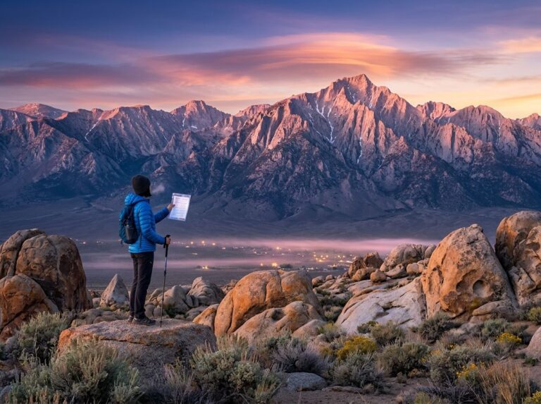
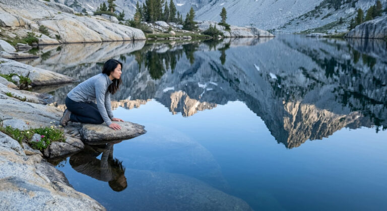
The Mokelumne Wilderness spans granite peaks and alpine lakes around Salt Springs Reservoir, Blue Lakes, and Lake Alpine, offering genuine high-Sierra scenery without the permit hurdles of better-known wilderness areas further south.
Foothill Gold Country, closer to Angels Camp and Murphys, offers Table Mountain’s volcanic wildflower mesa along with historic mining-era trails at lower, warmer elevations, a good option when the high country is still under snow. That same Gold Country belt runs north into Amador County, home to Sutter Creek and the Kennedy Mine.
Best hiking trails in Calaveras Big Trees State Park
At 6,500 acres, Calaveras Big Trees State Park has been a tourist destination since 1852, making it, by most accounts, the longest continuously operated tourist attraction in California.
North Grove Loop Trail: Calaveras Big Trees’ most accessible giant sequoia hike
This flat, roughly 1.5-mile loop was the first giant sequoia grove ever widely publicized, after hunter Augustus T. Dowd came across it in 1852 while tracking a wounded grizzly bear.
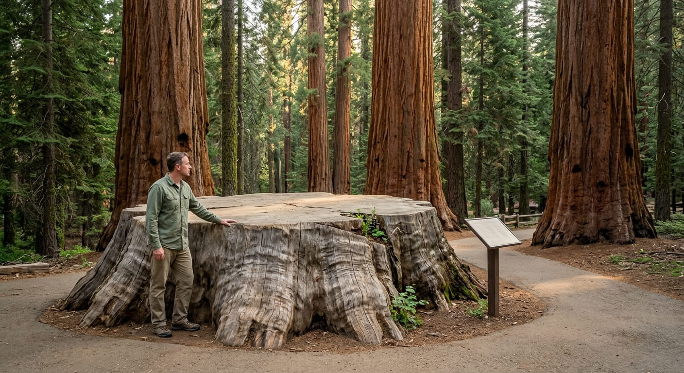
The grove’s centerpiece is the Discovery Tree, or Big Stump, a giant sequoia felled in 1853 as a publicity stunt that famously backfired, drawing public outrage rather than the intended promotional buzz once people realized a living thing over 1,200 years old had been cut down for a traveling exhibit; the stump remains one of the park’s most-visited sights and later served as an impromptu dance floor for decades.
Day use runs $10, and the loop gets genuinely busy on weekends, so arriving before 10 am is worth the early start if you want the grove to yourself for even a few minutes.
South Grove Trail: Calaveras Big Trees’ most impressive and least crowded hike
At about 5 miles round trip with roughly 500 ft of gain, the South Grove Trail reaches the Agassiz Tree, the largest living tree in the park at 250 ft tall and over 30 ft in base diameter, along with the historic Palace Hotel Tree and river views over the Stanislaus.
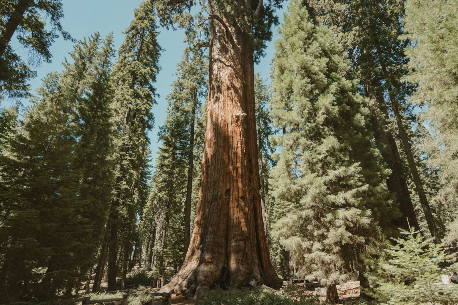
It sees a fraction of the North Grove’s visitors despite arguably more impressive scenery, largely because the unpaved access road to the trailhead only opens seasonally, which naturally filters out the casual day-tripper crowd. One detail worth planning around regardless of which grove you visit: dogs aren’t allowed on any trail in the park, only in picnic areas, campgrounds, and on the roads, and only on leash.
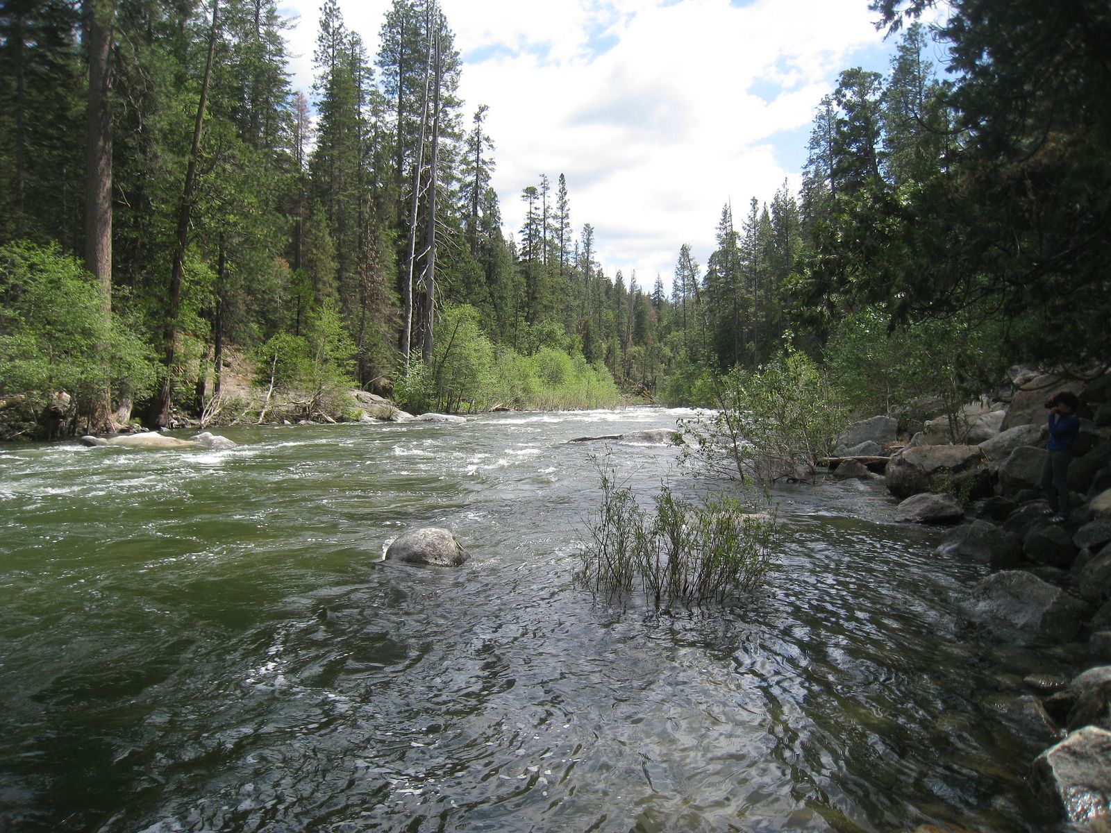
Best hiking trails in the Mokelumne Wilderness, Calaveras County
At 105,165 acres spanning the Eldorado and Stanislaus National Forests, the Mokelumne Wilderness offers genuine granite-peak Sierra scenery with a permit process refreshingly simpler than most comparable wilderness areas: no quota, no advance lottery, and no fee just to set foot on the trail.
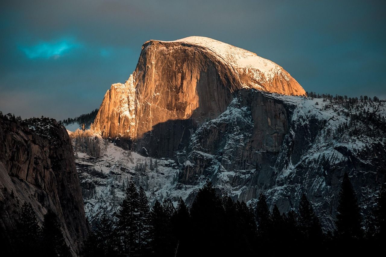
Blue Lakes Trail: Mokelumne Wilderness’ best easy alpine lake access
From the Upper Blue Lake trailhead off Blue Lakes Road near Hope Valley, this area offers 3 to 8 miles of loop options depending on ambition: Lower Blue Lake is an easy 2-mile round trip good for fishing, while Upper Blue Lake extends to a moderate 4-mile round trip.
It’s free with no permit required, and the combination of easy mileage and genuine alpine lake scenery makes it one of the better family backpacking introductions in the region; Blue Lakes Road is paved all the way to the trailhead, making it accessible to standard 2WD vehicles.
Best hiking trails at Table Mountain, Calaveras County
Above Murphys, Table Mountain, known locally as Mesa de los Lobos, is a volcanic basalt tableland that turns into one of the county’s best short-lived spring spectacles, a dramatic contrast to the giant sequoias and granite peaks defining the rest of Calaveras County’s hiking.
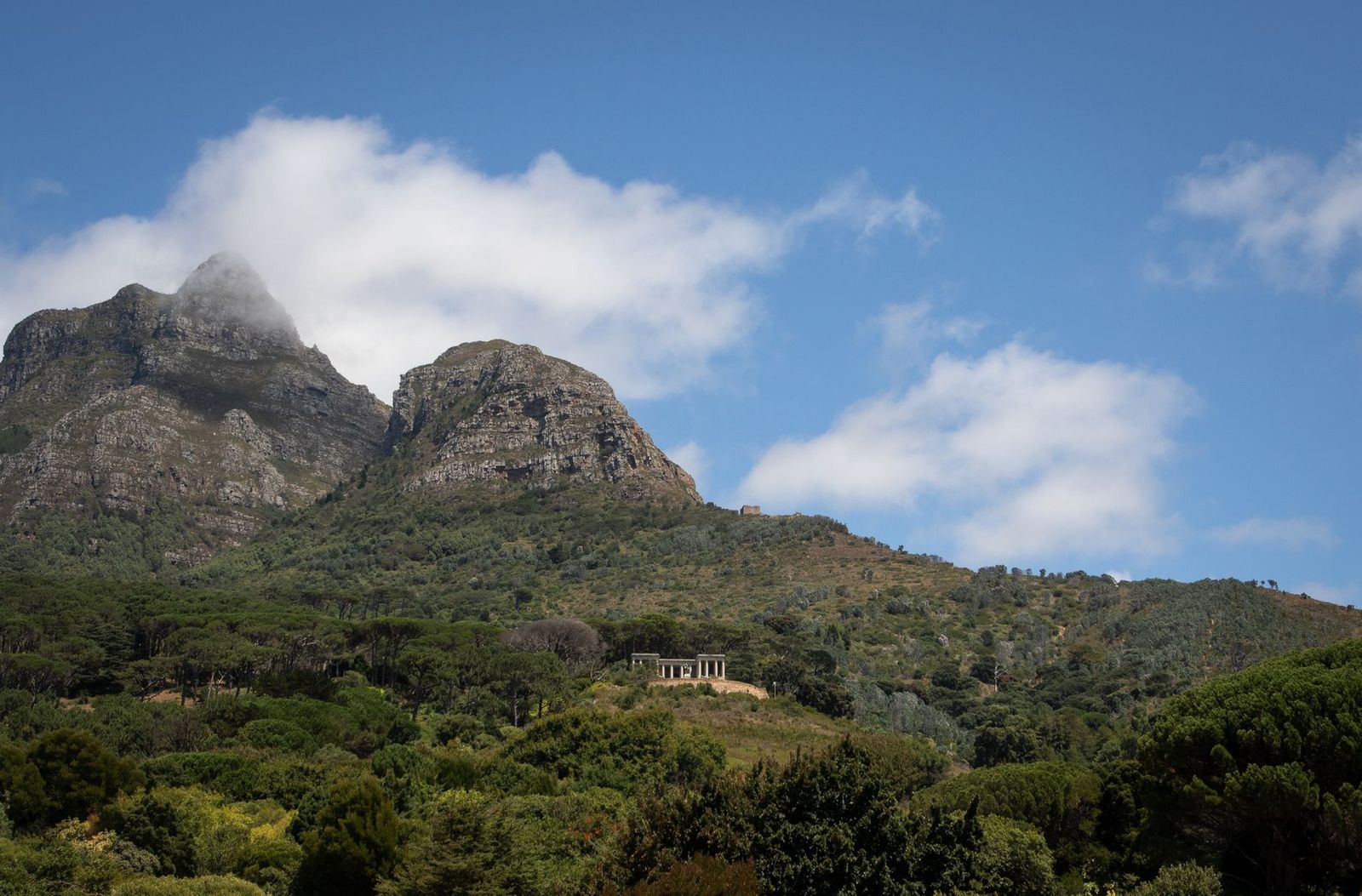
Table Mountain Wildflower Walk: Calaveras County’s best spring seasonal hike
This 3-to-5-mile route, depending on which section of the flat mesa top you cover, crosses volcanic rock formations carpeted with golden monkeyflower, Indian paintbrush, and blue dicks at peak bloom.
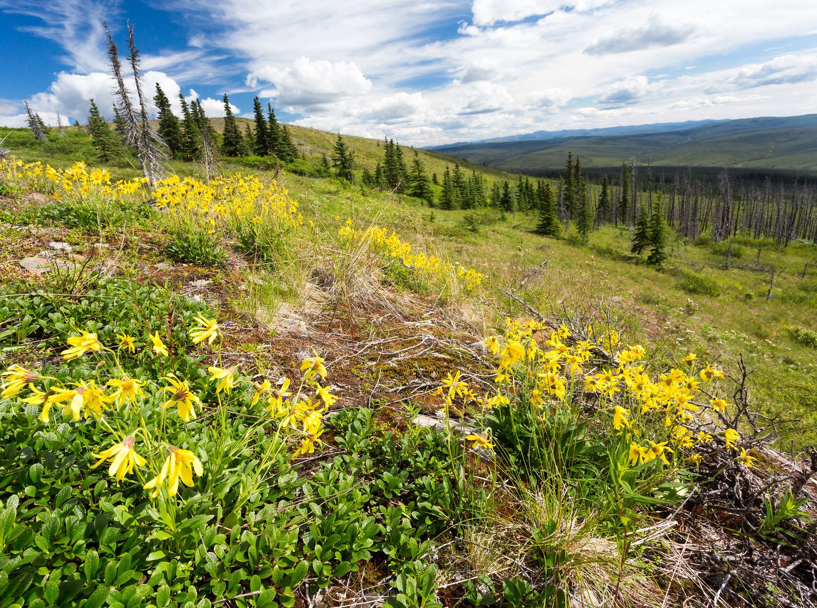
The window is genuinely narrow, mid-March through mid-April in a typical year, so timing matters more here than almost anywhere else on this list, and a week too early or late can mean the difference between a spectacular display and a fairly plain mesa walk.
Access to the Table Mountain basalt formations and trails around New Melones Reservoir near Murphys is free on public land with no permit required, though checking local trail conditions after spring rains is recommended.
Best hiking trails at Lake Alpine and Ebbetts Pass, Calaveras County
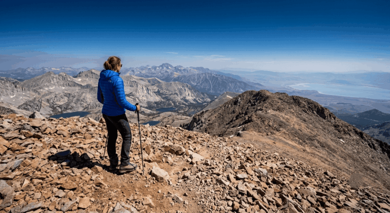
At 7,350 ft along Highway 4 near Bear Valley, Lake Alpine anchors the county’s highest-elevation hiking, with direct access to one of the more scenic Pacific Crest Trail crossings in the Sierra.
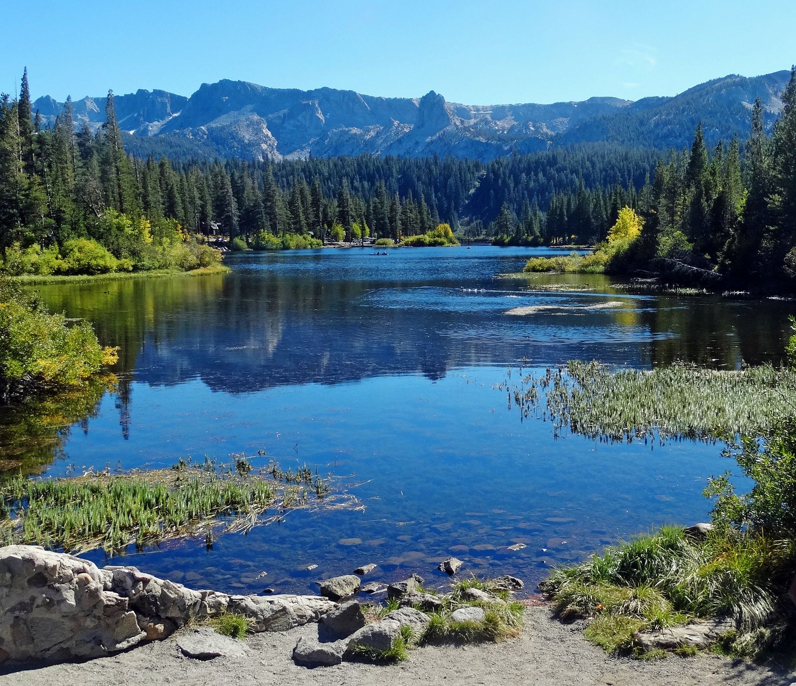
Pacific Crest Trail at Ebbetts Pass: Calaveras County’s best high-Sierra day hike
At 8,730 ft, Ebbetts Pass lets you day-hike the PCT in either direction, north toward Carson Pass or south toward Dorothy Lake, through a landscape that transitions from volcanic terrain into granite as you go, a genuinely striking geological contrast to hike through in a single afternoon.
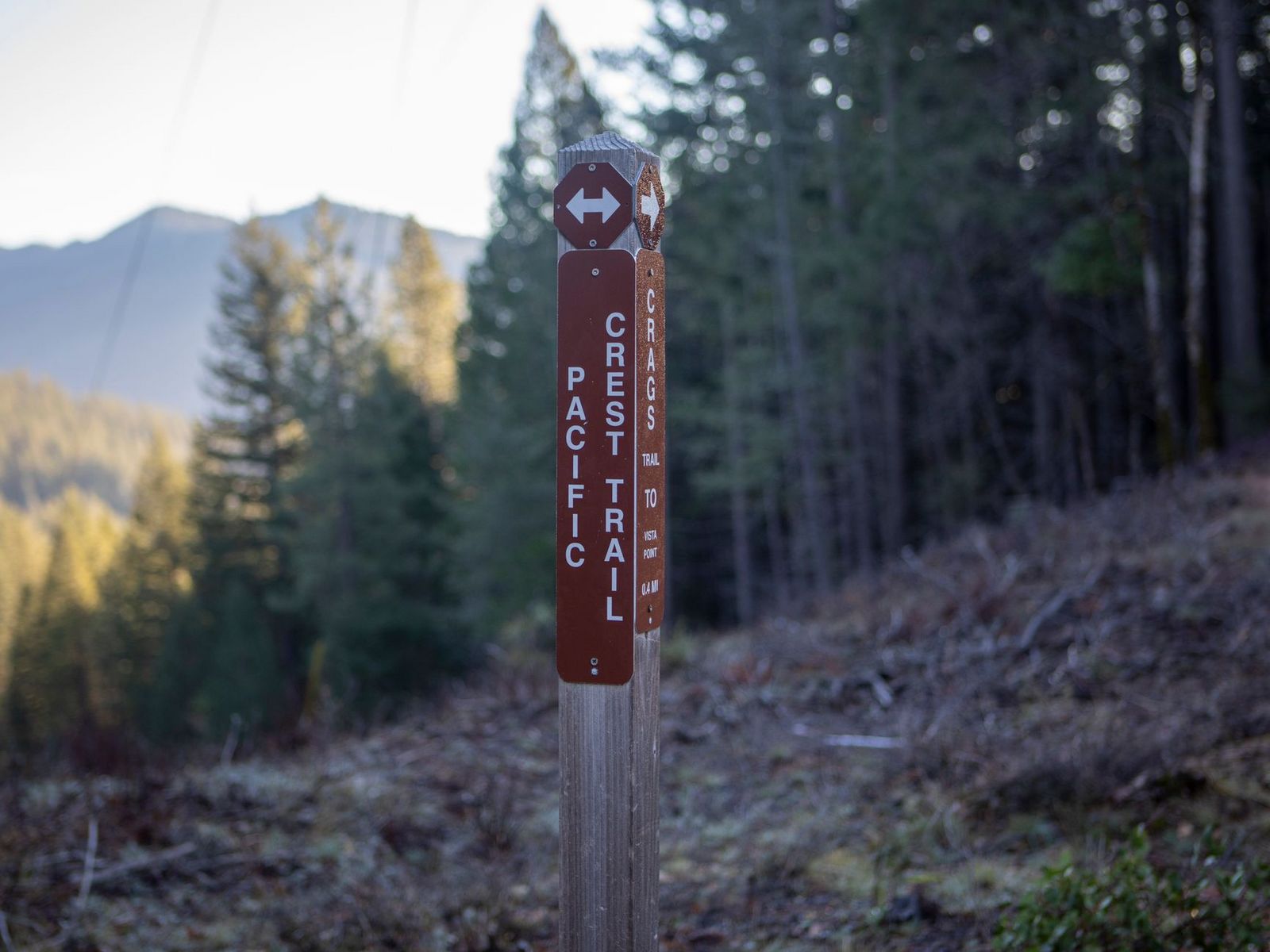
No permit is required for a day hike; wildflowers peak in July and August, and snow is possible even in June or October at this elevation, so pack layers regardless of the calendar date. The pass is reachable by a standard 2WD vehicle whenever Highway 4 itself is open, though that road closes with the first heavy snow, typically from November through May, cutting off high-country access for roughly half the year.
Calaveras County rewards treating its three zones as genuinely different trips; a giant sequoia grove near Arnold doesn’t require the same planning as a Mokelumne Wilderness alpine lake hike or a narrow-window wildflower walk at Table Mountain.
Start with the North Grove Loop if it’s your first visit, and time a Table Mountain trip carefully if wildflowers are the goal, since that particular window closes faster than almost anything else in this county. Few Sierra foothill counties let a first-time visitor and a seasoned Sierra hiker both find something genuinely worth the drive within the same set of county lines.
Frequently asked questions about hiking trails in Calaveras County
What are the best hiking trails in Calaveras County, California?
The North Grove Loop in Calaveras Big Trees State Park is the best easy introduction, the South Grove Trail is the most impressive and least crowded option, and the PCT at Ebbetts Pass is the standout high-Sierra day hike. Table Mountain’s wildflower walk is worth timing a spring visit around if you can catch its narrow bloom window.
How do I hike to see giant sequoias in Calaveras Big Trees State Park?
The North Grove Loop is the easiest option, a flat 1.5-mile trail reaching the historic Discovery Tree stump, with no reservation needed beyond the $10 day-use fee. The South Grove Trail, about 5 miles round trip, reaches even larger trees with far fewer visitors, though the access road only opens seasonally.
Is Calaveras Big Trees State Park worth visiting for hiking?
Yes, it’s the longest continuously operated tourist attraction in California, and the South Grove in particular delivers giant sequoia scenery that rivals better-known groves further south with a fraction of the crowds. Both groves are manageable as a single day trip from the Bay Area or Sacramento.
When do wildflowers bloom on Table Mountain near Murphys, California?
Typically mid-March through mid-April, though the exact window shifts year to year depending on winter rainfall. It’s a genuinely short season, so checking recent trail reports before you commit to the drive is worth the extra step.
Do I need a permit to hike in Mokelumne Wilderness?
Day hikers do not need a permit or reservation to enter the Mokelumne Wilderness. However, overnight backpackers are required to carry a self-issued wilderness permit (available for free at local ranger stations or trailheads).
When does Highway 4 to Lake Alpine and Ebbetts Pass open?
The road typically closes with the first heavy snow in November and reopens sometime between April and May, depending on that year’s snowpack. Check current Caltrans conditions before planning a trip to Lake Alpine or Ebbetts Pass outside the summer season.