Best Hiking Trails in Fresno County, California
No California county holds more designated wilderness than Fresno County. It contains a genuine slice of Kings Canyon National Park, a large chunk of Sequoia National Forest, most of Sierra National Forest, and a piece of the John Muir Wilderness along the JMT corridor, a combination that puts the deepest canyon in North America and alpine lakes above 10,000 ft within the same county line. Few places in the state let you plan a trip around this much elevation range without crossing into a second county to do it. Exploring Hiking Trails in Fresno County gives you access to some of the most dramatic backcountry terrain in the entire Sierra Nevada.
Disclosure: Please note that some of the links below are affiliate links and at no additional cost to you, I may earn a commission. Know that I only recommend hiking gear I personally stand behind; when you use my affiliate links, it helps me run this blog and keep all of this content free of charge for readers (like you).
Key takeaways
- Fresno County contains four distinct hiking zones: Kings Canyon National Park, Sequoia National Forest, Sierra National Forest, and the John Muir Wilderness.
- Kings Canyon’s Road’s End is the gateway to the Rae Lakes Loop, about 41 miles round trip, crossing only Glen Pass (not Pinchot Pass, despite what some trip reports imply), typically done over 4–5 days.
- As of January 1, 2026, non-U.S. residents pay a $100 per-person surcharge on top of the standard $35 vehicle fee at Sequoia & Kings Canyon National Parks, part of a new federal policy covering 11 major national parks nationwide.
- Sequoia National Forest is a different place than Sequoia National Park; despite the nearly identical name, the forest sits alongside and around the park, with its own separate entry rules and a much lighter permit burden.
- The Kings Canyon Scenic Byway closes seasonally, typically mid-November through mid-to-late spring depending on snowpack, so a summer visit is the reliable window for reaching Road’s End at all.
Related:
- Kings Canyon National Park Hiking & Things to Do Guide
- Rae Lakes Loop Hiking & Permit Guide
- 5 Best Hiking Trails Near Kings Canyon, Fresno County
- 5 Best Hiking Trails in Sequoia National Forest, Fresno County
- 5 Best Family-Friendly Hiking Trails in Fresno County
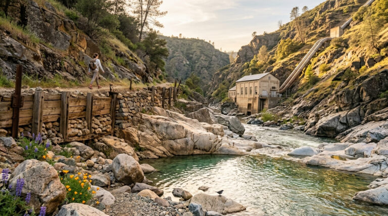
- 5 Best Hiking Trails in the San Joaquin River Gorge, Fresno County
- 5 Best High-Elevation Hiking Trails in Fresno County
Why Fresno County has the most diverse national park hiking in California
Most counties get one signature landscape. Fresno County gets four: a national park canyon, two national forests each with their own wilderness areas, and a stretch of one of the most famous long-distance trails in the country, all accessible from the same city.
Fresno County’s four hiking zones
Kings Canyon National Park holds the canyon floor itself, the deepest canyon in North America, along with the Rae Lakes Loop and Road’s End trailhead, and it’s the zone most visitors mean when they say they’re “going to Fresno County to hike.”
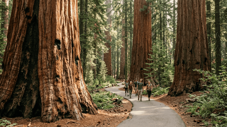
Sequoia National Forest surrounds and adjoins the park with its own giant sequoia groves, Hume Lake, and the Jennie Lakes Wilderness, offering a lower-key, less permit-heavy alternative for the same general region. Sierra National Forest, at 1.3 million acres, covers Shaver Lake, Bass Lake, and the Dinkey Lakes and Kaiser Wilderness areas further north, and tends to draw a more local, weekend-cabin crowd than the national park does.
The John Muir Wilderness rounds out the county along the John Muir Trail corridor, including the remote Evolution Basin section that serious long-distance hikers consider one of the trail’s best stretches, genuinely backcountry territory, not a zone for a casual day trip.
Best hiking trails in Kings Canyon National Park, Fresno County
Road’s End, at the literal end of the Kings Canyon Scenic Byway, is the starting point for nearly everything on this list, both the day hikes and the multi-day classic that put this canyon on the map.
Mist Falls Trail: Kings Canyon’s best and most popular day hike
At 8.4 miles round trip with about 800 ft of gain, Mist Falls follows the South Fork Kings River through a granite gorge to one of California’s highest-volume waterfalls by flow. It starts at Road’s End, and parking there requires a permit during peak season, so plan to arrive early or check current requirements before you commit to a summer weekend visit.
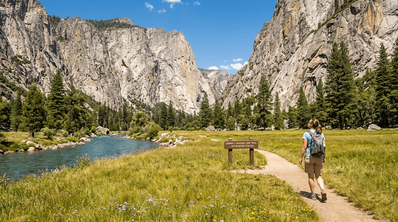
Zumwalt Meadows Loop: Kings Canyon’s best easy trail
This 1.5-mile, completely flat loop sits right on the Kings Canyon floor, with 2,000 ft granite walls rising overhead and interpretive signs covering the area’s ecology along the way. It’s a strong bird-of-prey viewing spot and one of the easiest ways to experience the canyon’s scale without any real elevation gain. Like the rest of Road’s End, it’s only accessible once the seasonal road opens, typically closed by November each year.
Rae Lakes Loop: Fresno County’s best multi-day backpacking route
The Rae Lakes Loop runs about 41 miles round trip from Road’s End, crossing Glen Pass, at just under 12,000 ft, the loop’s highest point, before dropping into the alpine lake chain that gives the route its name. Most backpackers complete it over 4 to 5 days, spreading the roughly 8,000 ft of cumulative elevation gain across the route rather than pushing it in one or two long days.
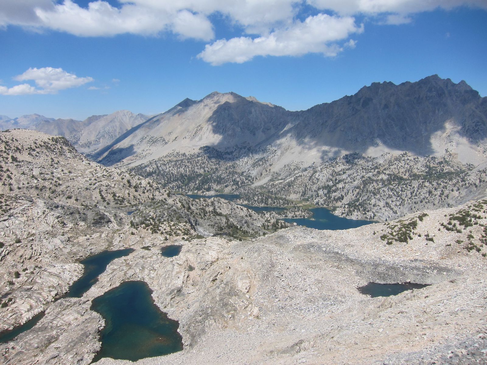
One clarification worth making here: some descriptions of this route mention Pinchot Pass, but that pass actually belongs to a different, longer stretch of the John Muir Trail further north, the standard Rae Lakes Loop crosses only Glen Pass. A bear canister is required, and permits come through Recreation.gov on a rolling six-month release, though a limited number of walk-up permits are typically available at the Road’s End ranger station for anyone willing to take the chance in person.
Peak season (July through September) sees genuine quota pressure, so book as early as your plans allow, and check on the South Fork Kings River crossing near Paradise Valley before an early-season trip, since a washed-out bridge there has made high water crossings genuinely hazardous in past seasons.
Best hiking trails in Sequoia National Forest, Fresno County
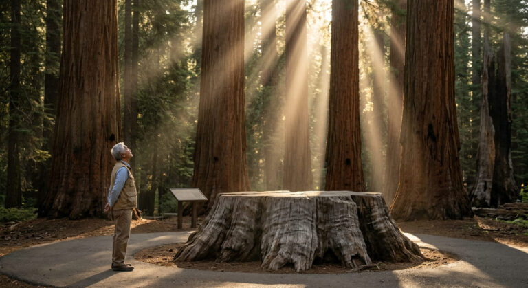
Sequoia National Forest is a separate land unit from Sequoia National Park, despite the near-identical name, it’s managed by the U.S. Forest Service rather than the National Park Service, wraps around and adjoins the park in places, and generally carries a lighter permit burden for day hiking.
Jennie Lakes Wilderness: Sequoia National Forest’s best backcountry hike
Tucked between Kings Canyon and Sequoia National Parks, this 10,500-acre wilderness centers on the Weaver Lake Trail, 8 miles round trip with about 1,200 ft of gain to a pristine granite lake. Overnight trips need a permit, but there’s no quota system here, and self-issue permits are available right at the trailhead. Hume Lake makes a convenient car-camping base the night before or after.
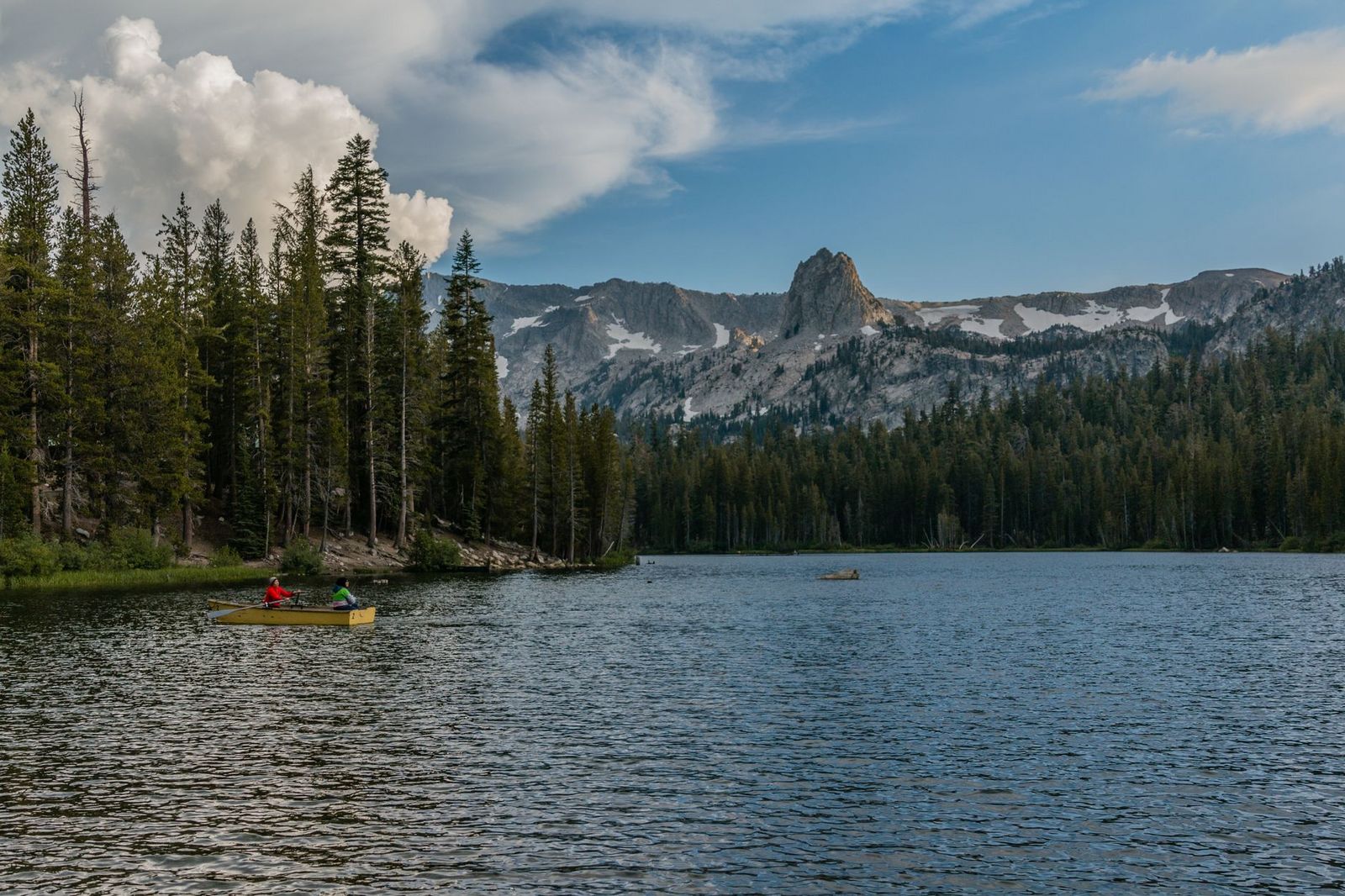
Hume Lake Shore Trail: Fresno County’s best easy family forest walk
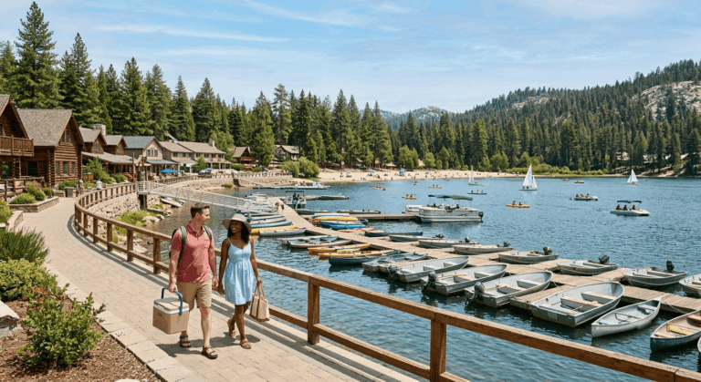
This 3.5-mile loop circles Hume Lake, a reservoir sitting at 5,280 ft surrounded by pine and fir forest, with a flat, shaded shoreline trail the entire way. Swimming is available at the campground beach nearby, and $10 covers day use for anyone not already camping in the area. It’s the most straightforward “bring the whole family” option in this part of the county.
Best hiking trails in Sierra National Forest, Fresno County
Sierra National Forest’s 1.3 million acres extend the county’s hiking well north of the Kings Canyon corridor, centered on Shaver Lake and Bass Lake. Bass Lake itself sits mostly across the line in Madera County, and the two lakes are commonly hiked as a single weekend trip.
Rancheria Falls Trail: Sierra National Forest’s best waterfall hike
Near Huntington Lake, this 8-mile round trip with about 1,400 ft of gain leads to a 150-foot multi-tiered waterfall that’s genuinely worth timing around snowmelt; June and July are the best months for real flow. No permit is required, but an Adventure Pass is needed for trailhead parking, so pick one up in advance rather than assume you can buy one on-site.
Kings Canyon road access and permit guide for Fresno County hikers
Getting the logistics right here matters more than in most counties, simply because the season and the fee structure both have real teeth; showing up in the wrong month or without the right permit can end a trip before it starts.
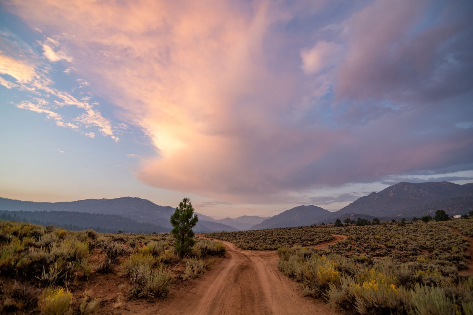
The Kings Canyon Scenic Byway typically closes for the season in mid-November and reopens sometime between April and late May depending on snowpack, so a summer visit is the reliable window if Road’s End is on your list.
The standard entrance fee is $35 per vehicle for 7 days, covering both Sequoia and Kings Canyon National Parks as a combined unit. Most of Sequoia National Park’s famous giant sequoia groves actually sit across the line in Hiking Trails in Tulare County, worth knowing if the sequoias themselves, not the canyon, are the main draw.
One recent, significant change: as of January 1, 2026, non-U.S. residents aged 16 and older pay an additional $100 per person on top of that standard fee, part of a new federal policy specifically affecting Sequoia & Kings Canyon along with a handful of other heavily visited national parks nationwide.
Road’s End itself requires a day-use parking permit during peak season (roughly June 15 through September 15), and any overnight wilderness trip needs its own separate permit plus an approved bear canister, food storage lockers exist at some campsites along popular routes, but heavy trail traffic means you shouldn’t count on finding space in them.
Sequoia and Sierra National Forest trails, by contrast, generally only require an Adventure Pass for parking and a self-issue permit for overnight wilderness travel, a noticeably lighter process than the national park side of the county.
Fresno County rewards visitors willing to treat its hiking as four separate destinations rather than one: the canyon floor, the giant sequoia groves, the alpine lakes further north, and the wilderness corridor connecting them all. Start with an easy Road’s End day hike like Zumwalt Meadows if it’s your first visit, and build toward the Rae Lakes Loop once you’ve got the permit timing and the fitness to match the ambition.
Few counties in California let a single trip cover this much ecological range, from canyon-floor granite to sequoia groves to alpine passes, without ever leaving the same set of connected forest and park boundaries.
Frequently asked questions about hiking trails in Fresno County
What are the best hiking trails in Kings Canyon National Park?
Mist Falls is the best popular day hike, Zumwalt Meadows is the easiest trail on the canyon floor, and the Rae Lakes Loop is the signature multi-day backpacking route. All three start from the Road’s End trailhead at the end of the Kings Canyon Scenic Byway.
How do I get a permit to hike in Kings Canyon?
Day hiking on most trails needs no permit at all, though Road’s End requires a parking permit during peak summer season. Overnight wilderness trips, including the Rae Lakes Loop, need a wilderness permit through Recreation.gov’s rolling six-month release, with a limited number of walk-up permits available in person for those without an advance reservation.
What is the difference between Sequoia National Park and Sequoia National Forest?
They’re separate land units despite the nearly identical name, Sequoia National Park is managed by the National Park Service with stricter permit rules, while Sequoia National Forest is managed by the U.S. Forest Service and generally allows more flexible day-hiking access. The forest wraps around and adjoins the park in several places, which is part of why the names get confused.
Are there hiking trails near Fresno city for a day trip?
Yes, though the county’s biggest destinations, Kings Canyon, Sequoia National Forest, and Sierra National Forest, all require at least an hour or more of driving from the city. Hume Lake and the Sequoia National Forest trails tend to be the closest genuine wilderness experience to Fresno itself.
What are the best hiking trails near Shaver Lake?
Shaver Lake sits within Sierra National Forest, with Rancheria Falls nearby as the standout waterfall hike in the area. The broader Sierra National Forest network, including the Dinkey Lakes and Kaiser Wilderness areas, extends the options well beyond the lake itself for anyone wanting a longer day.
How hard is the Rae Lakes Loop backpacking trail in Kings Canyon?
It’s rated hard, about 41 miles round trip with roughly 7,600–8,000 ft of cumulative elevation gain, crossing just under 12,000 ft at Glen Pass. Most backpackers spread it across 4 to 5 days rather than attempt it faster, and a bear canister plus wilderness permit are both required.