The 5 Best Family-Friendly Fresno Hiking Trails
Not every trail in this county needs a national park entrance fee or a mountain drive. This guide covers easy, low-elevation Fresno hiking trails in-town parks, foothill reservoirs, and one cooler mountain overlook built for families rather than serious hikers.
Disclosure: Please note that some of the links below are affiliate links and at no additional cost to you, I may earn a commission. Know that I only recommend hiking gear I personally stand behind; when you use my affiliate links, it helps me run this blog and keep all of this content free of charge for readers (like you).
For the mountain destinations, Kings Canyon National Park and Sequoia National Forest cover that ground elsewhere in this guide, alongside the San Joaquin River Gorge and high-elevation trails for more ambitious hikers. Start at the Fresno County trail guide for the complete picture.
One current safety note before the list: Fresno County issued a water-quality advisory for Avocado Lake in late June 2026. I’ll cover exactly what that means when we get there.
Key takeaways:
- The in-town classic: Woodward Park, a 300-acre city park with a genuine Japanese garden, though not actually free.
- The rural riverside option: Lost Lake Park, a calm San Joaquin River oxbow below Friant Dam ($5/vehicle day-use fee).
- The full-service lake: Millerton Lake State Recreation Area camping, boating, and a historic 1867 courthouse alongside the trails.
- The local secret, currently under a swim advisory: Avocado Lake is small, calm, and popular with Fresno families, but check current water-quality status first.
- The heat escape: a Shaver Lake overlook trail, the only cooler, higher-elevation stop in this entire family-friendly guide.
Quick-glance comparison
| Trail | Distance (RT) | Elevation gain | Fee |
|---|---|---|---|
| Woodward Park Loop | ~3–4 mi | Minimal | $5/vehicle |
| Lost Lake Park Trail | ~2 mi | Minimal | $5/vehicle |
| Millerton Lake (South Shore area) | ~3.5–4 mi | ~400 ft | $10/vehicle |
| Avocado Lake Trail | ~1.5 mi | Minimal | $5/vehicle, cash only |
| Shaver Lake High Point | ~3.9 mi | ~500 ft | Fee varies by access point |
Woodward Park: San Joaquin River Trail Loop
This is Fresno’s most-visited park, and for good reason: genuine shade, a cultivated garden, and a real trail network all in one place.
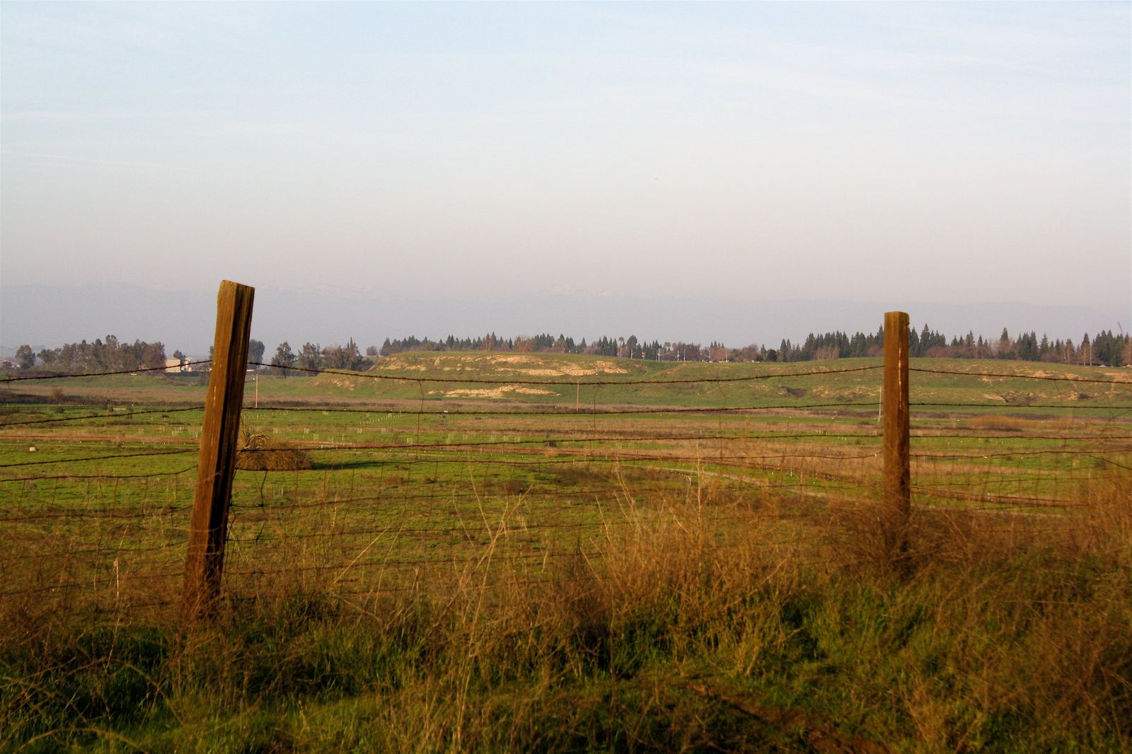
Trailhead access: a $5 vehicle fee, not free
Woodward Park charges $5 per vehicle ($7 on holidays) at payment kiosks throughout the grounds, with a discounted $3 rate for vehicles with a senior citizen (65+). The adjacent Shinzen Friendship Garden has its own separate small entrance fee on top of that.
Difficulty, distance, and elevation gain on the loop
Trails here connect into the larger Lewis S. Eaton Trail system along the San Joaquin River Parkway, with roughly 3 to 4 miles of paved and dirt path easily walkable in a loop, flat, easy, and genuinely stroller-friendly, a strong match for my accessible hiking guide.
What you’ll see: mature oak woodland and a genuine Japanese garden
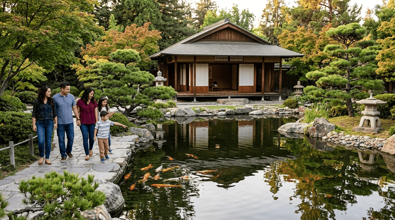
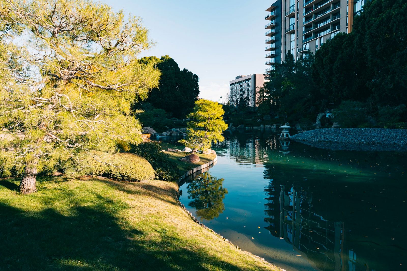
Established in the late 1960s on land donated by philanthropist Ralph Woodward, the park’s 300 acres include the 5-acre Shinzen Friendship Garden, a traditional Japanese stroll garden with koi ponds, a teahouse, and seasonal plantings, dedicated in 1981 as a gesture of friendship to Fresno’s sister city of Kochi, Japan. Beyond the garden, the park also includes a disc golf course, a BMX track, and three separate playgrounds, making it genuinely one of the most amenity-dense stops in this entire county.
Best time to hike Woodward Park: any season, any day
Shaded, in-town, and low-elevation, this is one of the most schedule-flexible trails in Fresno County, no mountain drive, no seasonal road closures to check.
Lost Lake Park Trail
If Woodward Park feels too manicured, this is the rural counterpart, a genuine river oxbow just below Friant Dam.
Trailhead access: $5 county park vehicle fee near Friant
Lost Lake Park charges a $5 per vehicle day-use fee, collected at the entrance near the town of Friant along the San Joaquin River, just downstream of the dam.
Difficulty, distance, and elevation gain on the loop
It’s an easy 2-mile loop with minimal elevation gain, tracing the calm waters of a river oxbow, comparable in effort to Avocado Lake, with a more rural, less-developed feel than Woodward Park.
What you’ll see: a calm river oxbow popular for picnics and fishing
This bend in the San Joaquin River sits just below Friant Dam, drawing local families for picnicking and fishing rather than as a tourist stop, genuinely one of the quieter, more local-feeling trails in this guide.
Best time to hike Lost Lake Park: spring and fall for comfortable river walks
Like most of the Central Valley floor trails in this guide, summer heat here is real; shoulder-season visits are meaningfully more comfortable.
Millerton Lake State Recreation Area
This is the most full-service destination in this entire guide: camping, boating, marinas, and real history alongside the trails.
Trailhead access: $10 day-use fee ($12–$20 peak season), the only state-run site in this guide
Millerton Lake SRA charges a base day-use entry fee of $10 per vehicle ($9 for seniors 62+). During peak summer season (Memorial Day through Labor Day), rates increase to $12 per vehicle on weekdays and $20 per vehicle on weekends and holidays.
Difficulty, distance, and elevation gain on the South Shore trail system
The South Shore’s easier trail runs roughly 3.5 to 4 miles round trip with about 400 feet of gain over rolling foothill terrain, a mild step up from the flatter river-park trails elsewhere in this guide.
What you’ll see: a foothill reservoir with genuine history
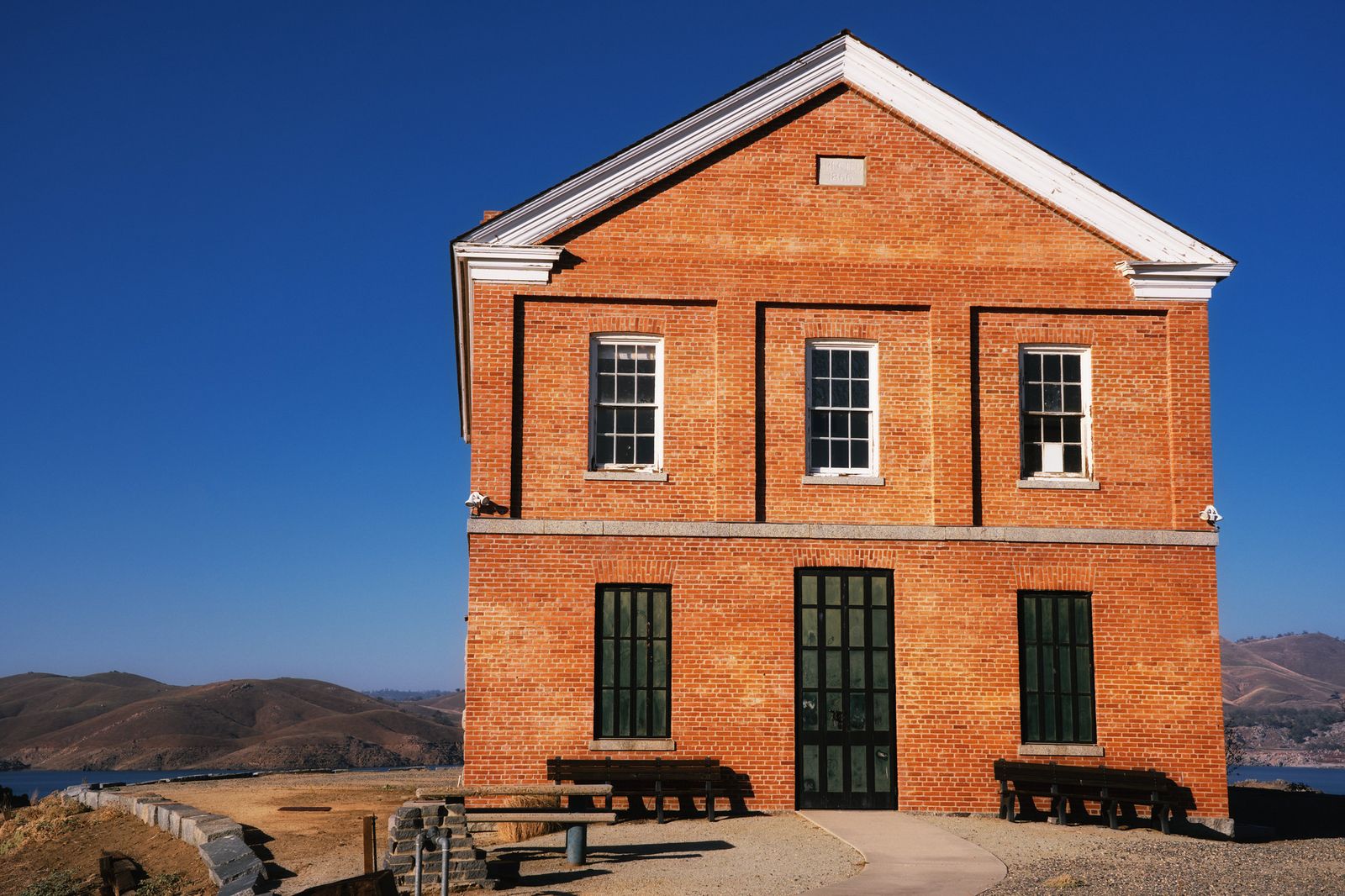
Millerton Lake formed behind the 319-foot Friant Dam, completed in 1944, and the park still preserves the original 1867 Millerton County Courthouse. Wildlife here includes mule deer, badgers, and both bald and golden eagles, with guided eagle-viewing boat tours offered in winter. The park sits at the traditional homeland of the Dumna and Kechayi, Yokuts peoples of Central California, and spans both Fresno and Madera counties, split by the San Joaquin River channel itself.
Best time to hike Millerton Lake: cooler months for hiking, summer for the water
Open, exposed foothill terrain here gets genuinely hot in Central Valley summers. Save the hiking for cooler months, and save the boating and swimming for summer instead.
Avocado Lake Trail
This is the smallest, most local of the lake trails in this guide, and right now, it comes with a real caveat worth reading carefully.
Trailhead access: $5 cash-only entry, and a current water-quality advisory
Avocado Lake County Park, near Piedra, charges $5 per vehicle, cash only. More importantly: as of June 24, 2026, Fresno County detected elevated E. coli levels in the lake and is advising against swimming and using lake or river water for drinking, cooking, or washing. Hiking the trail itself isn’t affected, but if swimming was the point of your visit, check the county’s current parks page before you go.
Difficulty, distance, and elevation gain on the loop
It’s an easy 1.5-mile loop with minimal elevation gain, short and simple, comparable to Lost Lake Park.
What you’ll see: a small Kings River-fed lake, genuinely local rather than touristy
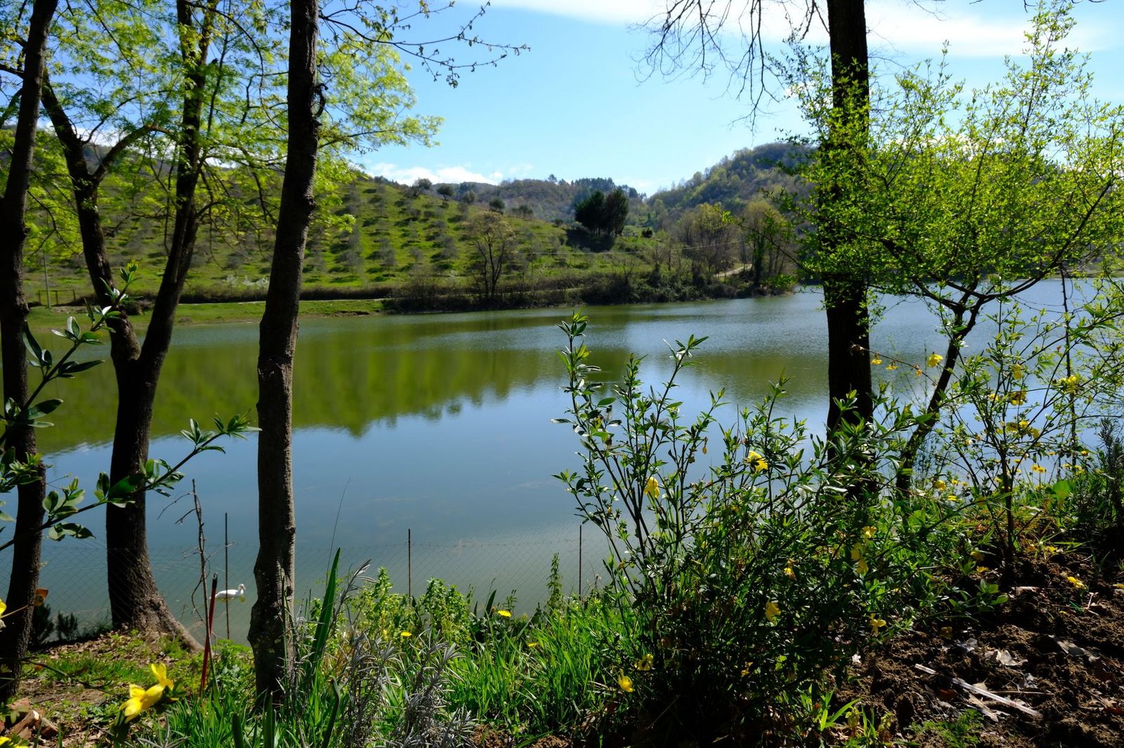
At 210 acres, Avocado Lake is fed by the Kings River and draws mostly local Fresno-area families rather than out-of-town visitors, with a lower-key, less-developed scale than Millerton Lake’s state-recreation-area infrastructure.
Best time to hike Avocado Lake: a quiet weekday option, water advisory permitting
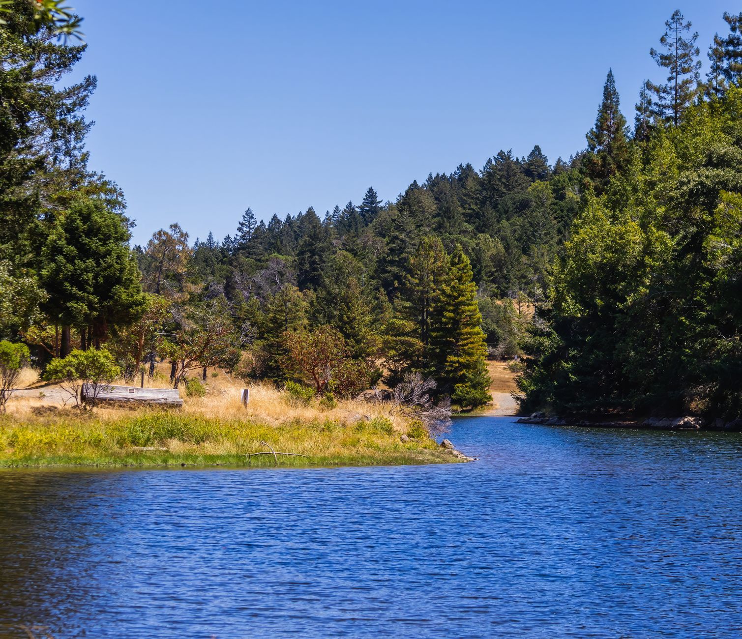
This trail stays uncrowded most days regardless of season. Just confirm the current water-quality status before building a visit around the water itself.
Shaver Lake High Point Trail
If everything else in this guide has you thinking “too hot,” this is the one exception, a genuine escape from Central Valley heat.
Trailhead access: near Shaver Lake Village, fee varies by access point
Trailhead fees around Shaver Lake vary depending on which access point you use. Some Southern California Edison-managed lots charge a parking fee, so confirm current rates locally. This trail’s exact documented name is “Shaver Lake High Point,” not “Shaver Lake Point,” worth knowing if you’re searching for it directly.
Difficulty, distance, and elevation gain to the overlook
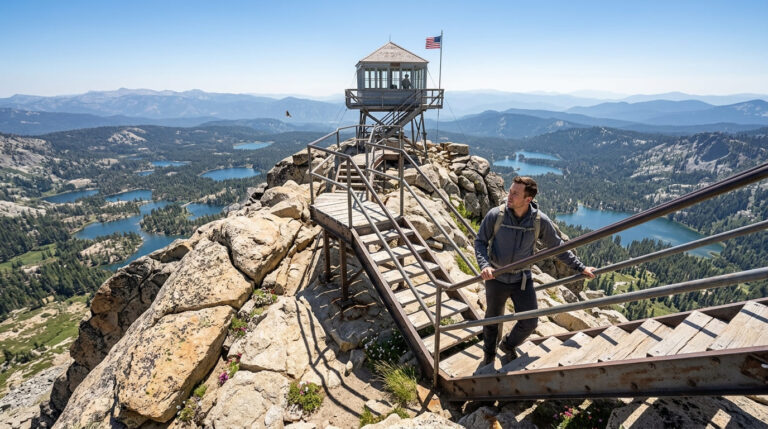
It’s a moderate 3.9-mile round trip with about 500 feet of gain, climbing a quiet dirt access road to a 6,022-foot overlook longer than a casual family stroll, but still manageable for older kids and reasonably fit hikers.
What you’ll see: panoramic views of Shaver Lake from a genuinely cooler elevation
At over 5,000 feet, Shaver Lake sits meaningfully cooler than the Central Valley floor, the single strongest heat-escape option anywhere in this family-friendly guide, with real panoramic lake views from the high point itself. The route mostly follows a shaded Southern California Edison access road, with occasional gaps in the trees offering preview glimpses of the lake well before the final overlook.
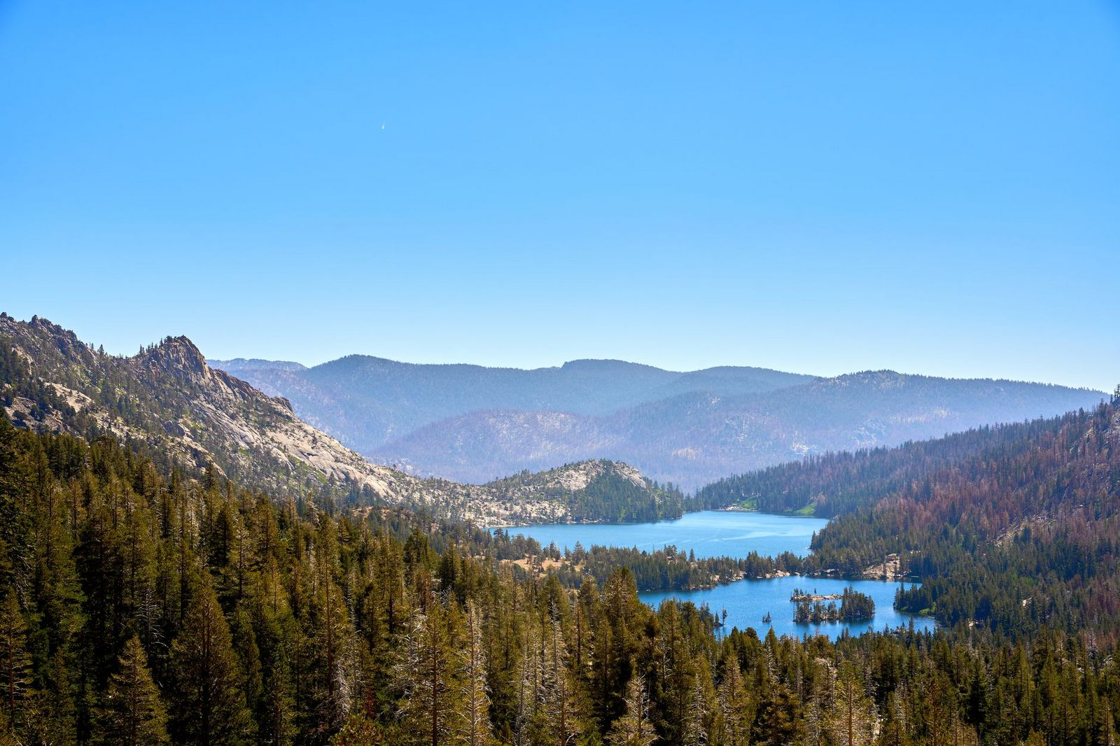
Best time to hike Shaver Lake High Point: summer, specifically because it’s cooler than Fresno
Unlike every other trail in this guide, summer is this trail’s best season; the elevation does the work that shade and timing have to do everywhere else in this list.
Which of these five to hike first
If you want the easiest possible outing, Woodward Park or Lost Lake Park both deliver with minimal planning. If you want a full day out with real amenities, Millerton Lake is the only trail in this guide built for that. And if Fresno’s summer heat is genuinely the problem, Shaver Lake High Point is the one trail here actually designed to solve it.
Frequently asked questions
Is Woodward Park free?
No, it charges $5 per vehicle ($7 on holidays), plus a separate small fee for the Shinzen Japanese Garden inside the park.
Is Millerton Lake good for kids?
Yes, genuinely one of the more full-service options in this guide, with swimming beaches, boat rentals, camping, and historic sites alongside the trails.
Is there a fee at Avocado Lake?
Yes, $5 per vehicle, cash only. As of late June 2026, there’s also an active water-quality advisory against swimming; check the current status before planning a swim-focused visit.
Is Shaver Lake cooler than Fresno?
Yes, significantly at over 5,000 feet elevation, Shaver Lake runs noticeably cooler than the Central Valley floor, making it the best summer option in this entire guide.
Are Fresno County family trails dog-friendly?
It varies. Woodward Park and Lost Lake Park generally allow leashed dogs; Millerton Lake explicitly prohibits dogs on its trails. Check posted signage at each specific park.
What is the easiest hiking trail near Fresno?
Woodward Park’s paved sections are likely the easiest and most accessible in this entire guide, connecting into the larger Lewis S. Eaton Trail system along the San Joaquin River.