Hiking Trails in Sierra County, California: Complete Trail Guide
Much of Sierra County sits within Tahoe National Forest, and its 953 square miles hold some of the most photographed alpine scenery in the range: a fire-lookout summit, lake reflections regularly mistaken for postcards, and a Gold Rush river town better known for mountain biking than the good Hiking Trails in Sierra County sitting right alongside those bike trails. Almost none of this shows up in typical Tahoe-area trip planning, which keeps it quiet even at the height of summer.
Disclosure: Please note that some of the links below are affiliate links and at no additional cost to you, I may earn a commission. Know that I only recommend hiking gear I personally stand behind; when you use my affiliate links, it helps me run this blog and keep all of this content free of charge for readers (like you).
Sierra County: one of California’s least populated counties, with spectacular hiking
Sierra County is home to roughly 3,050 residents, making it the second-least populous county in California, just behind neighboring Alpine County’s roughly 1,100, which holds the actual title.
What Sierra County lacks in population it makes up for in trail access: the entire county sits inside Tahoe National Forest, anchored by the Sierra Buttes’ dramatic 8,591-ft crags, the North Yuba River’s wild canyon, and Downieville, a Gold Rush-era town now known nationally for mountain biking as much as its hiking.
The lack of any major town beyond Downieville and Loyalton means the whole county stays uncrowded compared to its Tahoe-area neighbors. That same Tahoe National Forest terrain continues south into the hiking trails in Nevada County, Sierra County’s closest neighbor to the south.
Best hiking trails near the Sierra Buttes, Sierra County
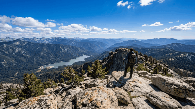
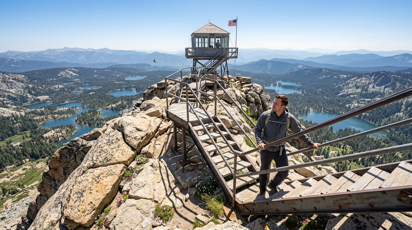
The Sierra Buttes rise roughly 2,000 ft above the surrounding forest, and the fire lookout tower at their 8,591-ft summit is arguably the single most photographed feature in the county, visible from a wide radius across the Lakes Basin area.
Sierra Buttes Lookout Trail: Sierra County’s most spectacular summit hike
A 5-mile round trip with about 1,800 ft of gain, passing a Pacific Crest Trail junction on the way to the historic fire lookout, staffed seasonally during fire season by lookout crews who’ll often chat with hikers who make the climb.
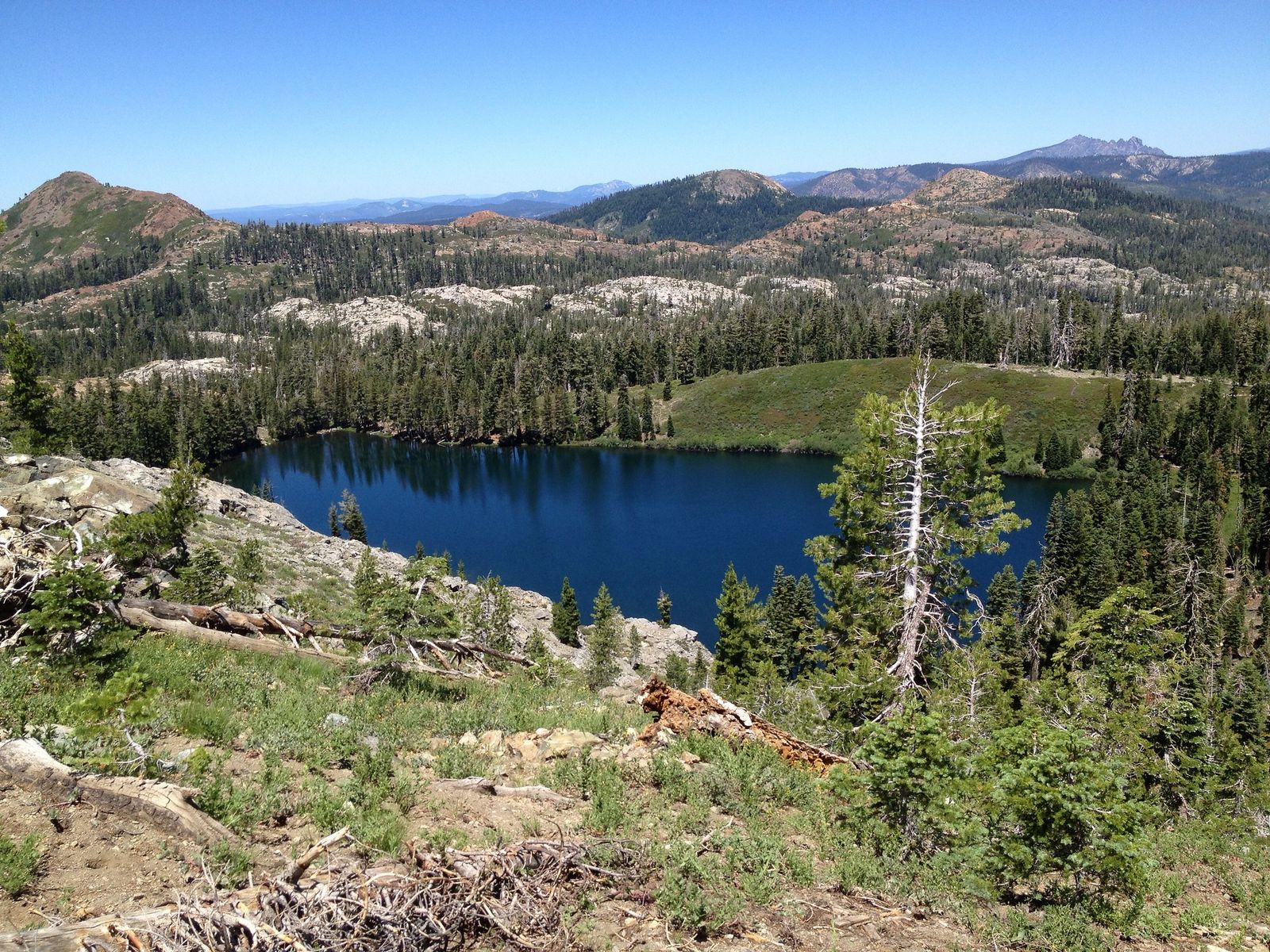
Given the steep final ascent, checking our hiking trail difficulty levels guide helps set expectations for the climb. A spiral staircase leads up to the observation deck, delivering a 360-degree view over the Lakes Basin and the greater Tahoe region, one of the best payoffs for the mileage anywhere in the Sierra.
Tahoe National Forest has no day-use entrance fee or Adventure Pass requirement, unlike the four Southern California forests where that system applies. It’s best hiked July through October, since snow is possible into June some years and the final staircase can be intimidating for anyone uncomfortable with heights.
Sardine Lakes Trail: Sierra County’s best easy alpine lake hike
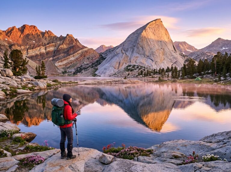
A 2-mile round trip to Lower Sardine Lake with about 400 ft of gain, delivering a Sierra Buttes reflection that’s one of the most photographed scenes in the entire Sierra Nevada, the kind of view that shows up constantly on hiking social media without most people knowing exactly where it was taken.
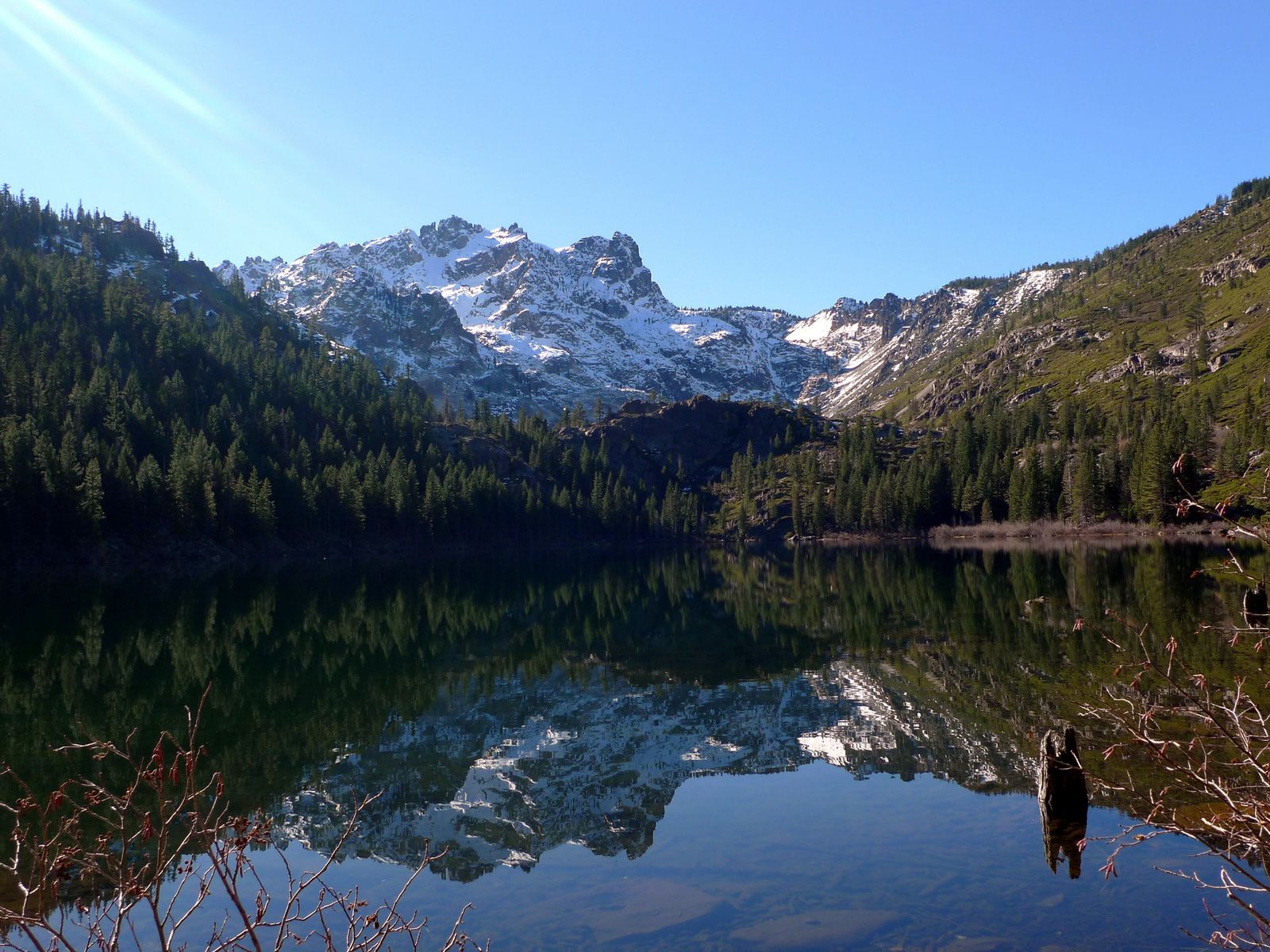
An additional mile reaches Upper Sardine Lake for hikers who want to extend the day. No Adventure Pass or entrance fee applies here; Tahoe National Forest doesn’t use that system, but parking fills by 9 a.m. on summer weekends. Arrive early if a clear reflection shot is the whole point of the trip, since the lake’s surface is calmest before wind picks up later in the morning.
Best hiking trails near Downieville, Sierra County
Downieville, the county seat, sits at 2,900 ft on the North Yuba River and dates to the 1849 Gold Rush, today it’s known nationally as a mountain biking destination, though the hiking trails here (many shared with bike routes) are good in their own right for anyone who’d rather walk than ride.
North Yuba River Trail: Downieville’s best scenic river walk
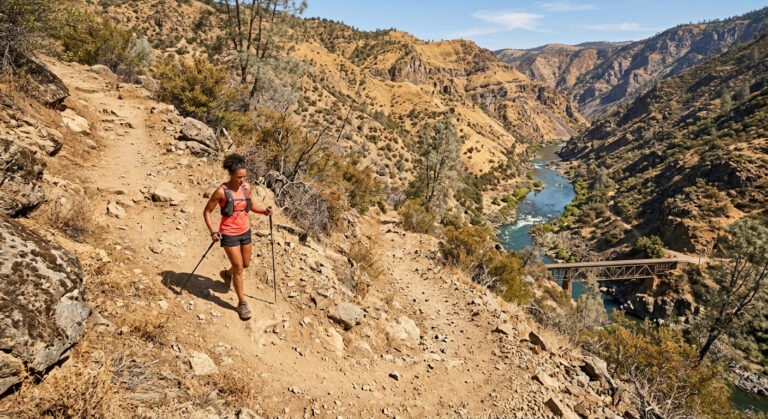
A 6-mile one-way trail from Downieville to Goodyears Bar, running alongside Class IV whitewater with emerald swimming holes in summer, canyon walls, and riparian forest the whole way.
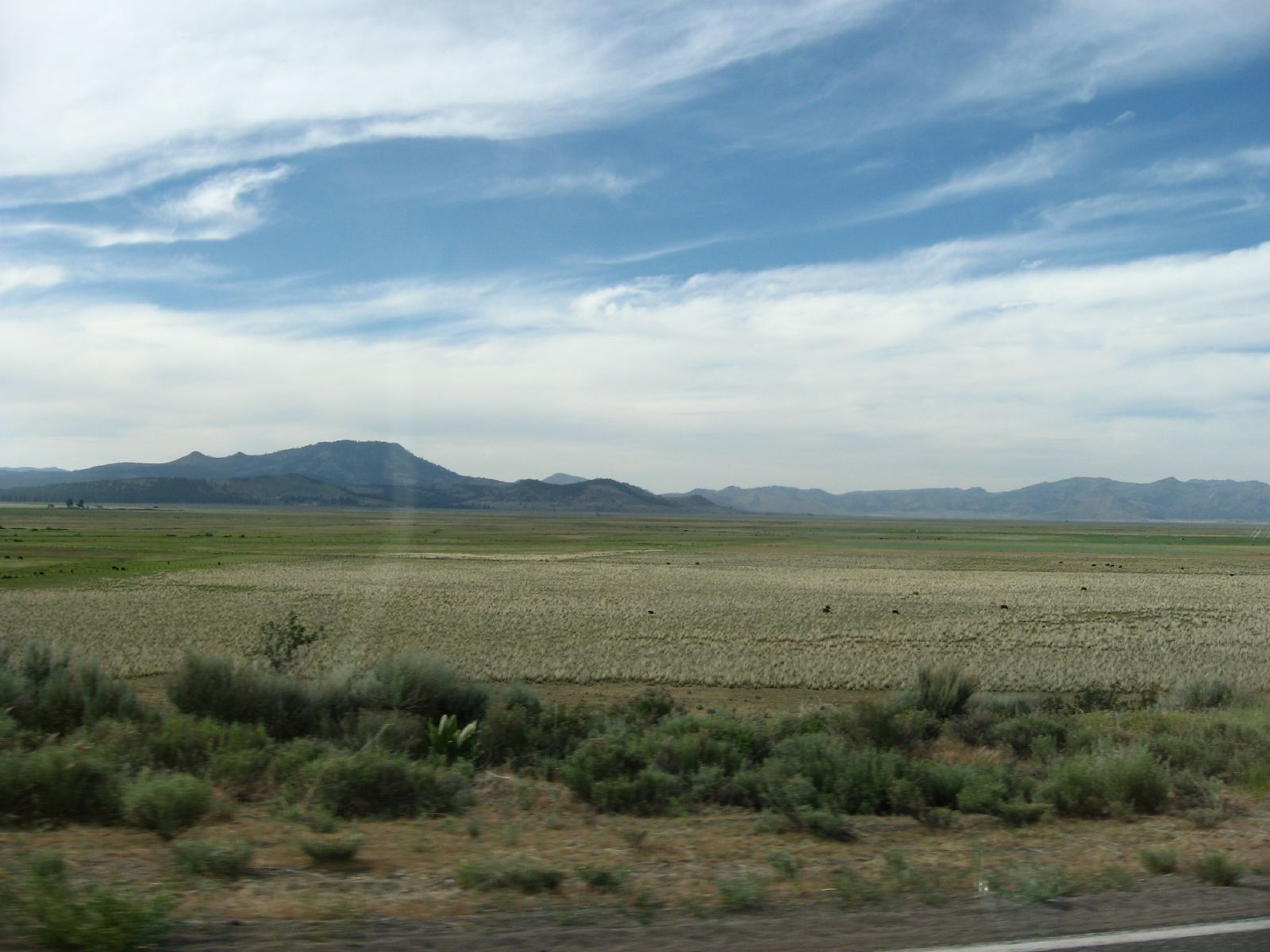
California buckeye blooms add seasonal color in April, and the trail’s proximity to town makes it an easy add-on to a Downieville visit even if biking is the main reason you came. It’s free with no permit required, best May through September, and can run muddy in winter and early spring when the trail hasn’t fully dried out.
Best hiking trails at Gold Lakes Basin, Sierra County
Gold Lakes Basin straddles the Sierra/Plumas county line off Highway 89, packing more than 20 alpine lakes into a roughly 5-mile radius, one of the best concentrations of easy, family-friendly lake hikes anywhere in the northern Sierra, and a different experience from the more dramatic, higher-effort Sierra Buttes area.
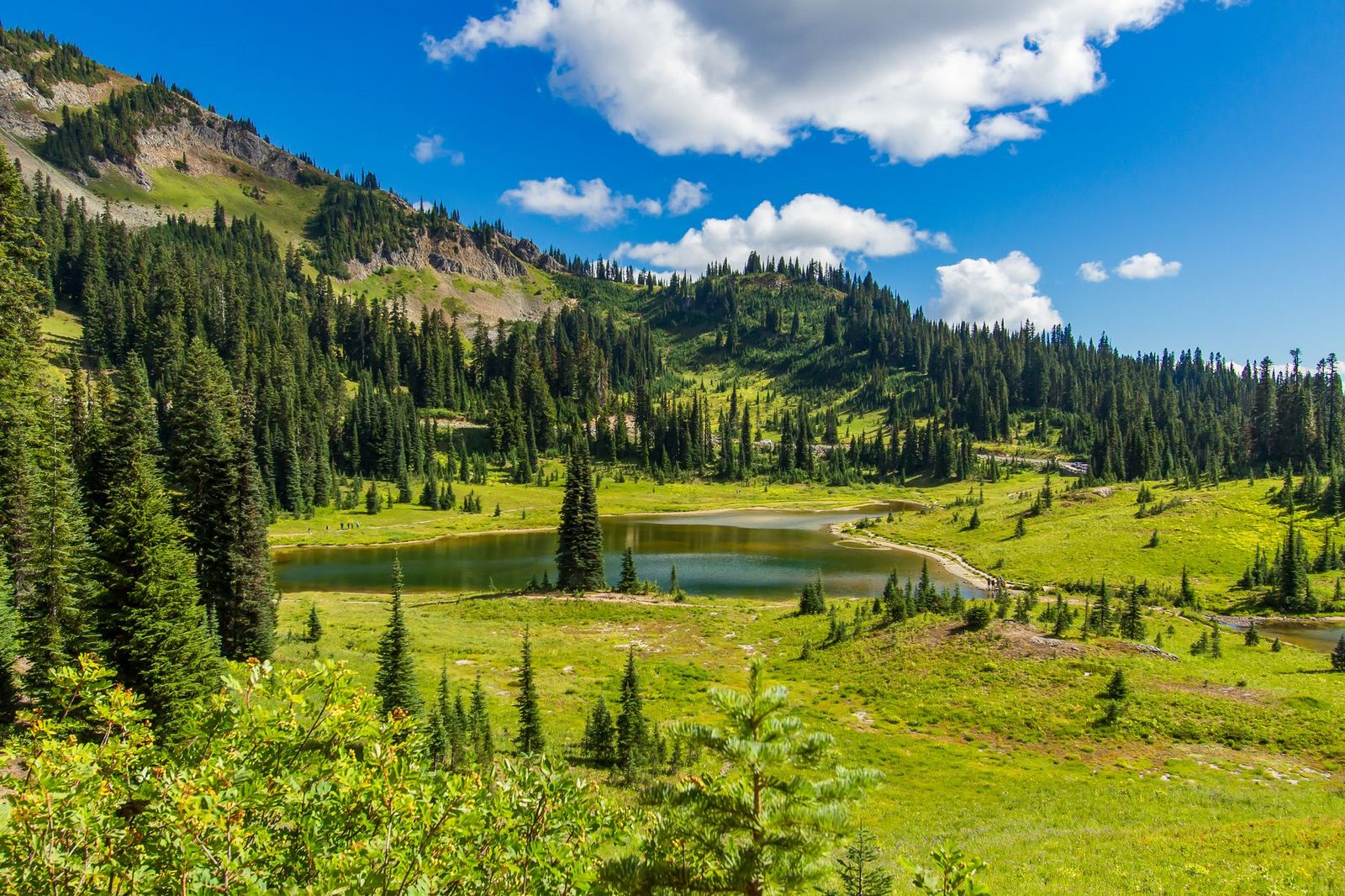
Long Lake Trail (3 miles round trip) and Round Lake Trail (2 miles round trip) are both easy, and no permit or parking pass is required. Best July through October, once the basin’s many small lakes have fully cleared of snow, with several lakes shallow enough to warm up nicely for summer swimming by midsummer.
Sierra County rewards hikers willing to drive past the more crowded hiking trails near Lake Tahoe; the Sierra Buttes alone justify the trip, and Downieville and Gold Lakes Basin both add different terrain within the same county.
Bring real water and sun protection for the Sierra Buttes climb specifically, since the exposed summit push has little shade despite the elevation, and consider timing a Downieville visit around a river swim to make the most of the North Yuba’s summer conditions.
Frequently asked questions about hiking trails in Sierra County
What hiking trails are near the Sierra Buttes in Sierra County?
The Sierra Buttes Lookout Trail (5 miles round trip to the fire lookout) and the Sardine Lakes Trail (2 miles round trip to a classic alpine lake reflection) are the two standouts.
How hard is the Sierra Buttes lookout tower hike?
Strenuous for its length, 5 miles round trip with about 1,800 ft of gain, finishing with a spiral staircase climb up the lookout tower itself. Start early in summer to beat both the heat and the crowds.
Can I hike to Sardine Lake near the Sierra Buttes?
Yes, it’s a 2-mile round trip with only about 400 ft of gain, one of the easier hikes on this list, though parking fills early on summer weekends given how popular the view has become.
What hiking trails are near Downieville, California?
The North Yuba River Trail (6 miles one-way to Goodyear’s Bar) is the standout hiking-specific option, though many of Downieville’s mountain bike trails, including sections of the Third Divide and Butcher Ranch routes, are open to hikers too.
Are there swimming holes on the North Yuba River near Downieville?
Yes, emerald swimming holes appear along the North Yuba River Trail in summer, making it a popular hike-and-swim combination from May through September.
What is the best easy hike in Sierra County for families?
Gold Lakes Basin’s Long Lake and Round Lake trails are both short, easy, and set among more than 20 alpine lakes, making the basin the county’s best bet for a family-friendly outing with minimal elevation gain.