Hiking Trails in Alpine County, California: Complete Trail Guide
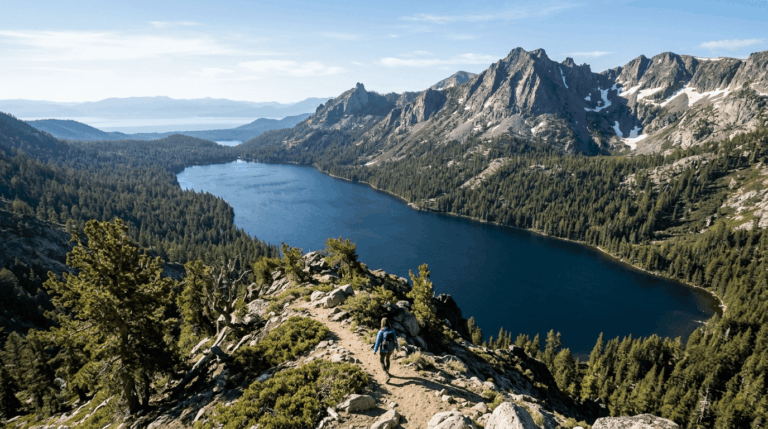
Alpine County has no traffic lights, no incorporated towns, and about 1,200 year-round residents, making it California’s least populous county by a wide margin. What it does have is High Sierra terrain between 6,000 and 11,000 ft, two dramatic mountain passes, and hiking access that rivals its far more crowded Tahoe neighbors to the north, without anything close to the crowds. Most visitors pass through on Highway 4 or Highway 89 without realizing that some of the best Hiking Trails in Alpine County sit just off the road.
Disclosure: Please note that some of the links below are affiliate links and at no additional cost to you, I may earn a commission. Know that I only recommend hiking gear I personally stand behind; when you use my affiliate links, it helps me run this blog and keep all of this content free of charge for readers (like you).
Alpine County: California’s smallest county with High Sierra access
Everything in Alpine County sits at elevation: Ebbetts Pass (8,730 ft) and Monitor Pass (8,314 ft) both cross the Sierra crest within the county, connecting to Markleeville’s hot springs, the Mokelumne Wilderness, and the Carson-Iceberg Wilderness. Highway 4 itself climbs up from hiking trails in Amador County on the western side before cresting at Ebbetts Pass.
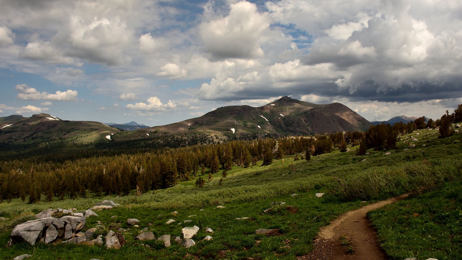
The lack of any incorporated town means services are sparse; plan fuel and food stops and check your gear before you arrive, since you won’t find much once you’re deep into the county’s higher terrain. The upside of that sparseness is solitude, as trails here see a fraction of the traffic that comparable Tahoe-area routes do on any given summer weekend.
Best hiking trails near Ebbetts Pass, Alpine County
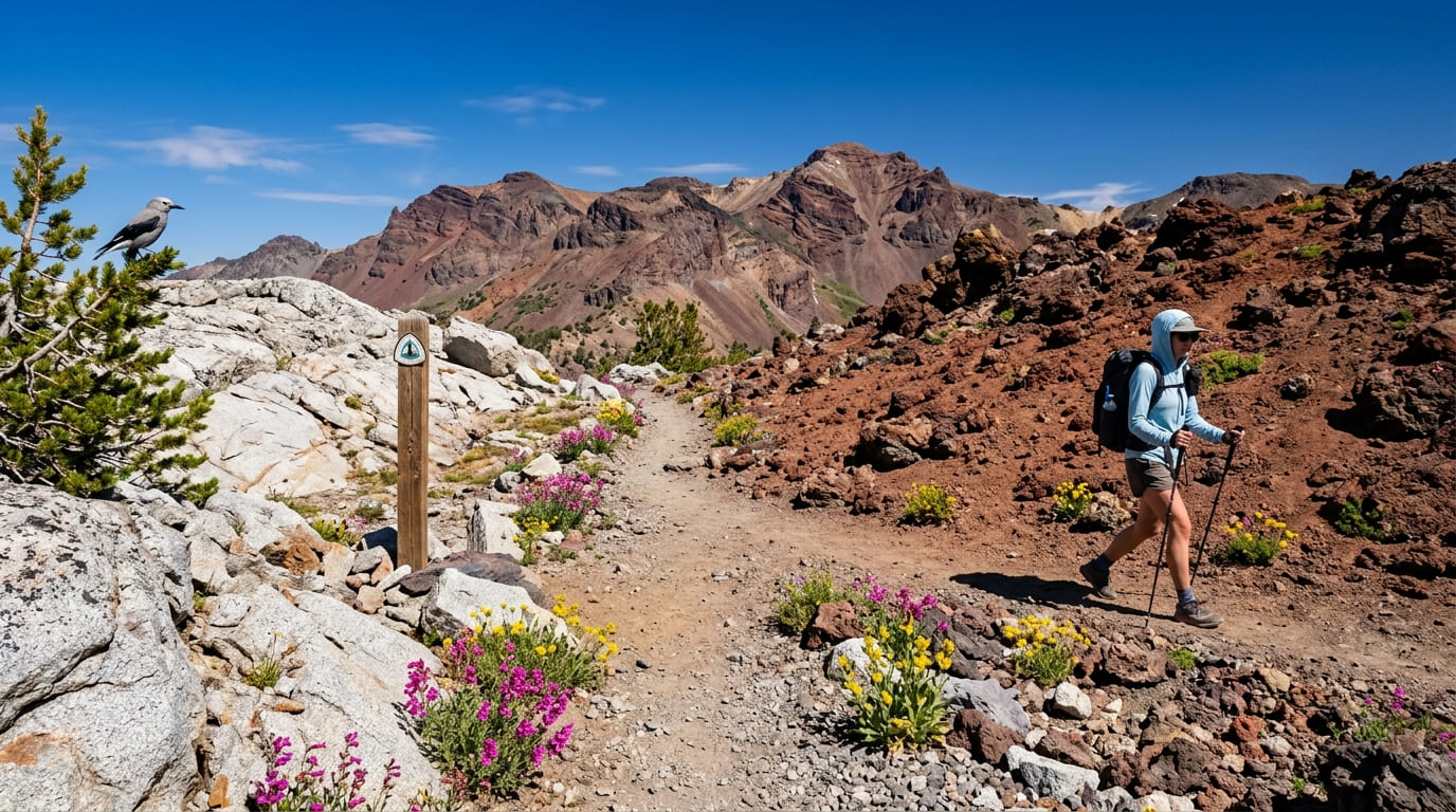
Ebbetts Pass carries Highway 4 across the Sierra crest at 8,730 ft, crossing the Pacific Crest Trail right at the summit and marking a visible transition between volcanic and granite terrain, one of the more dramatic geological transitions visible from a single trailhead anywhere in the Sierra.
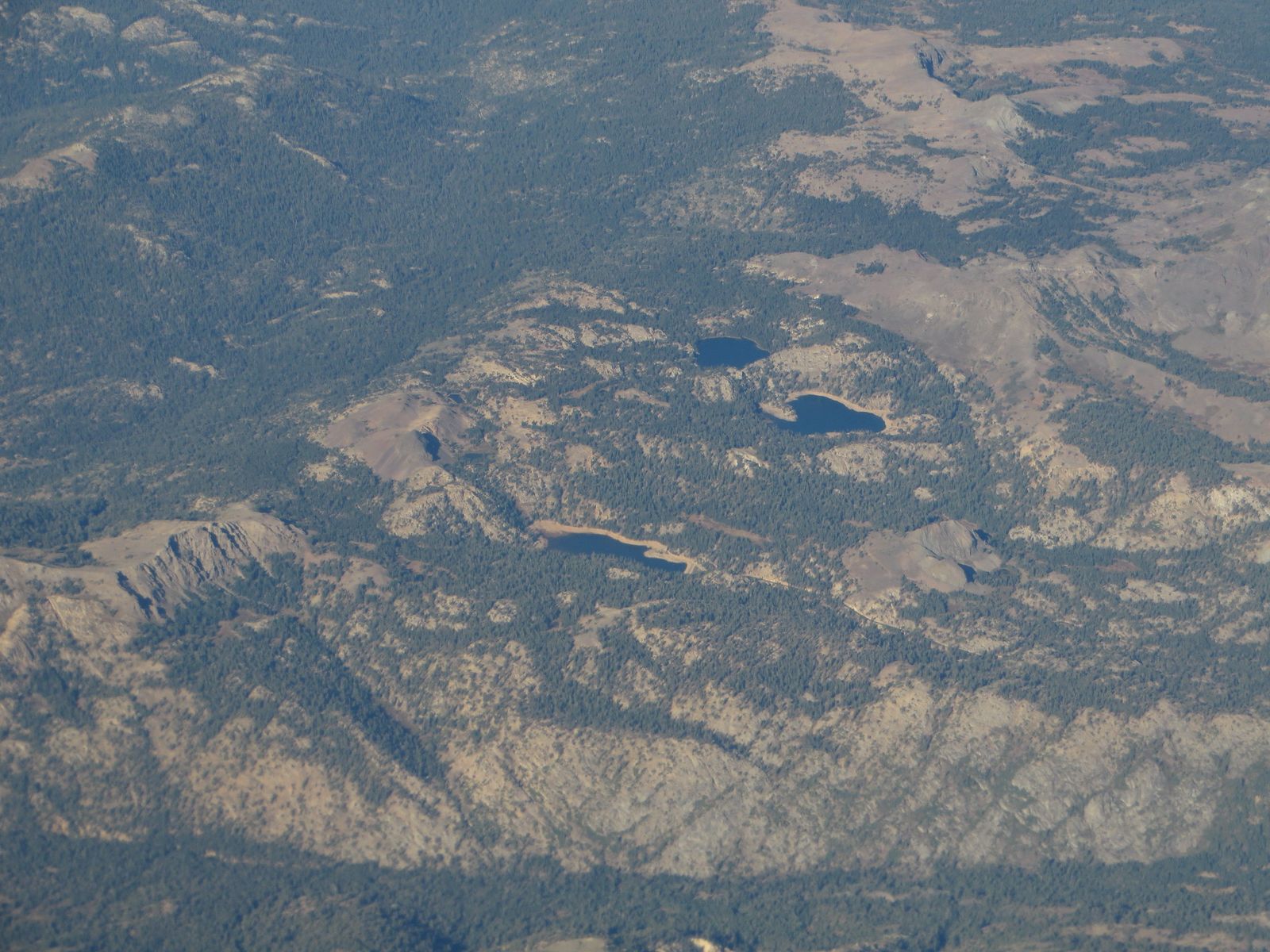
Pacific Crest Trail at Ebbetts Pass: Alpine County’s best High-Sierra day hike
Hike north from the pass toward Wolf Creek Meadows for a 5-mile round trip through volcanic landscape with Markleeville Peak visible for most of the route, or head south toward Kinney Reservoir and Noble Lake for a shorter 3-mile option with its own distinct scenery.
Wildflowers peak in July and August; no permit is needed for day hiking, and the pass itself closes with snow roughly November through May. Check current road status and review our hiking safety guide before planning anything outside summer, since Caltrans closure dates shift meaningfully year to year with snowpack.
Best hiking trails near Monitor Pass and Markleeville, Alpine County
Monitor Pass, at 8,314 ft on Highway 89 between Markleeville and Topaz Lake, adds the historic Leviathan Mine area and Slinkard Valley’s wildflower displays, with lower-elevation sections open year-round even when the pass itself sees snow. This is the more accessible of the county’s two passes for a shoulder-season visit. Continue over Monitor Pass, and Highway 89 eventually connects into the hiking trails in Mono County on the Eastern Sierra’s other side.
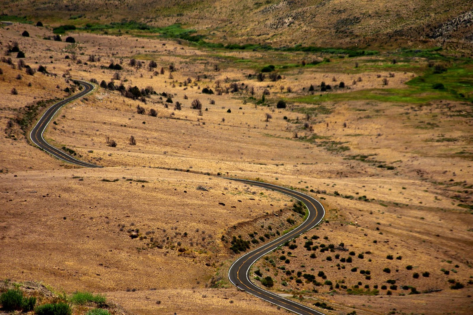
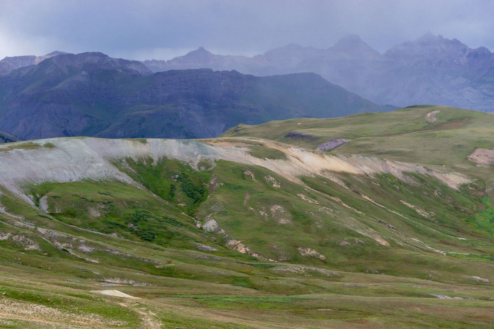
Grover Hot Springs State Park trails: Alpine County’s best family nature walk
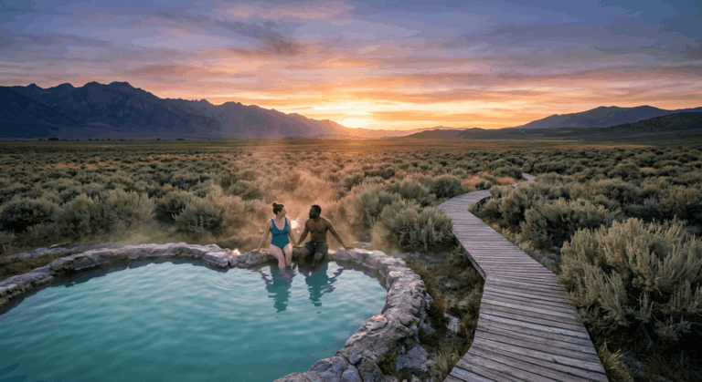
Grover Hot Springs covers 519 acres with about 3 miles of trail, anchored by the 2.5-mile round-trip Hot Springs Creek Trail through canyon and meadow terrain, with aspen fall color in October drawing visitors even outside peak summer.
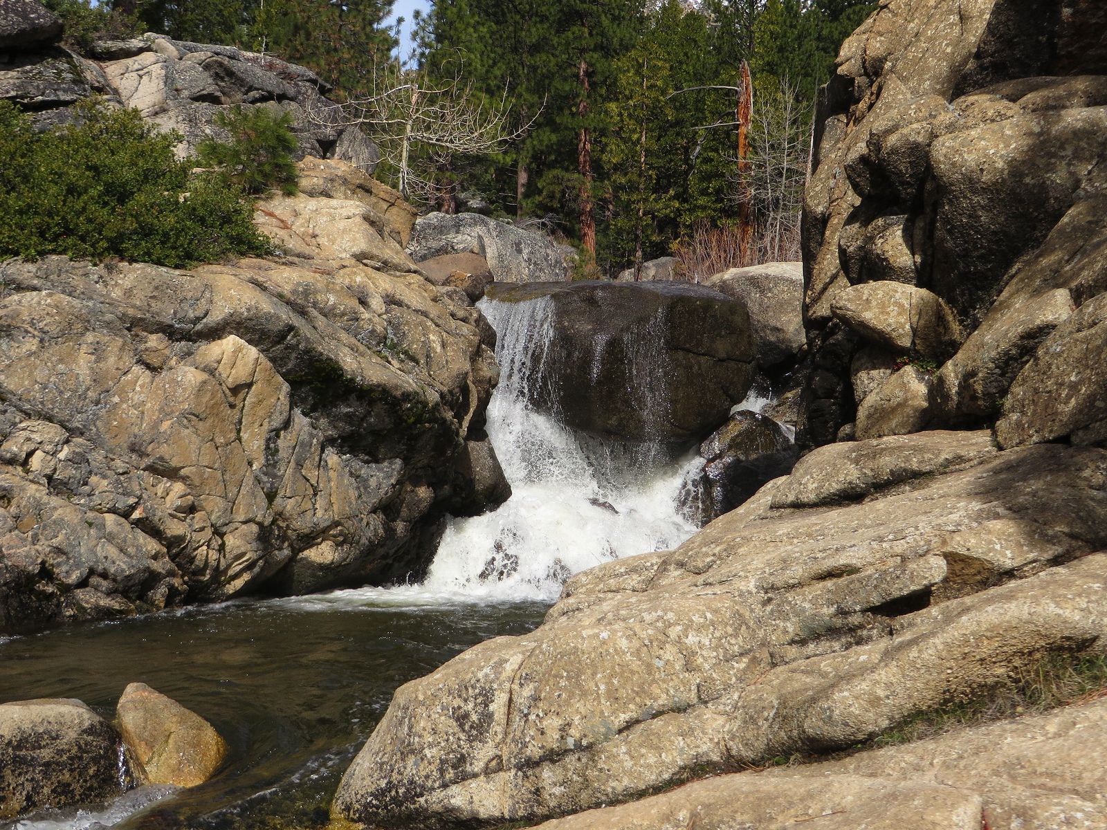
The mineral pool sits adjacent to the trail system but charges a separate fee from day-use parking: $8 for vehicle parking ($7 for seniors), plus $10 for adult pool entry ($5 for kids) if you want to soak after the hike, so budget for both if a post-hike soak is part of the plan.
It’s open year-round from the lower parking area, even when snow limits access higher up, and the pool itself requires a reservation during busy periods.
Best hiking trails in the Carson-Iceberg Wilderness, Alpine County
Carson-Iceberg Wilderness spans roughly 160,000 acres of Stanislaus National Forest, mixing volcanic basalt plateau with granite peaks in a remote stretch of the Sierra that sees far fewer visitors than the more famous wilderness areas further north and south.
Highland Lakes Trail: Alpine County’s best remote alpine lake hike
A 10-mile round trip to Hiram Meadow with about 1,400 ft of gain, starting from the Highland Lakes trailhead at 8,600 ft through volcanic terrain and past alpine lakes where mule deer graze the meadows in early summer. No permit is needed for day hiking, but the access road is rough enough that a high-clearance vehicle is worth having; a standard sedan can make it in dry conditions, but washboard sections and occasional ruts make the drive slower than the mileage suggests. The whole area is best visited July through October once snow has cleared, and solitude here is close to guaranteed even on a summer weekend.
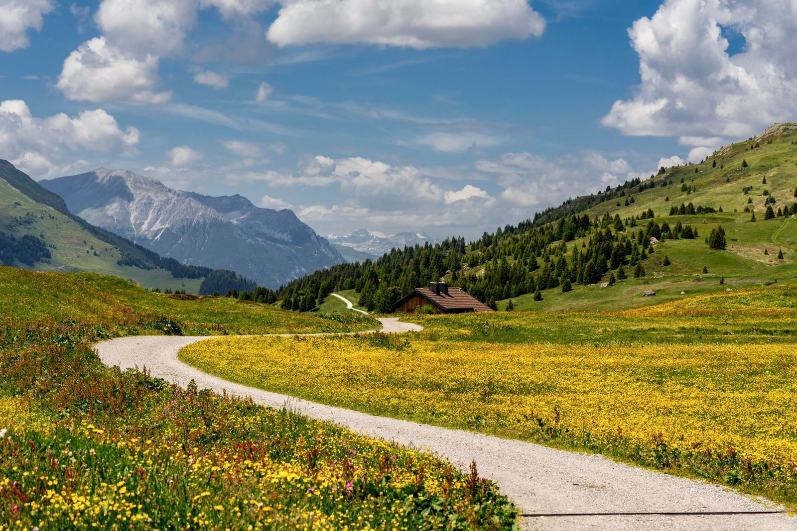
Alpine County rewards hikers willing to drive a little further than Lake Tahoe’s more crowded south shore with High Sierra terrain, solitude, and a hot spring at the end of the day, all without the traffic. Check road status before any shoulder-season trip, since most of what makes this county worth visiting sits above 8,000 ft and closes with the first snow, and fuel up before you arrive given how few services exist once you’re deep into the higher terrain.
Frequently asked questions about hiking trails in Alpine County
What hiking trails are in Alpine County, California?
The Pacific Crest Trail at Ebbetts Pass, Grover Hot Springs State Park’s Hot Springs Creek Trail, and Highland Lakes Trail in the Carson-Iceberg Wilderness are the three standouts, covering everything from an easy family walk to a backcountry day hike, all within a county most visitors just drive through.
When does Ebbetts Pass open for hiking each year?
Typically June through October, with the road itself closed by snow roughly November through May. Always check current Caltrans road status before planning a trip, since exact opening dates shift year to year with snowpack and can vary by several weeks between light and heavy winters.
Is Grover Hot Springs State Park good for hiking and hot springs?
Yes, it combines both, with about 3 miles of trail through canyon and meadow terrain alongside a mineral pool you can soak in afterward. Parking and pool access are billed separately, so budget for both, and consider reserving your pool session ahead of time during busy summer weekends.
Do I need a permit to hike in Alpine County’s wilderness areas?
No permit is required for day hiking in either the Carson-Iceberg or Mokelumne Wilderness areas. Overnight backcountry trips typically require a free wilderness permit, self-issued at the trailhead rather than a competitive reservation.
What is the best hike in Alpine County for a day trip?
The Pacific Crest Trail segment at Ebbetts Pass toward Wolf Creek Meadows offers the best mix of High Sierra scenery and manageable distance for a single day, without requiring a wilderness permit or a long approach drive.
Are there hiking trails near Markleeville, California?
Yes, Grover Hot Springs State Park sits just outside town, and both Ebbetts Pass and Monitor Pass are within a short drive, making Markleeville a practical, if sparse, base for exploring the whole county. Fuel up and stock up on food before heading out, since services thin out fast once you leave town.