The 5 Best Waterfall Hiking Trails in El Dorado County, From Alpine Granite Slabs to Gold Rush Ruins
El Dorado County’s waterfalls span nearly its entire elevation range, from a 200-ft alpine cascade a few miles from Emerald Bay down to Gold Rush-era river rapids near Folsom Lake, barely above the valley floor. For waterfall hiking trails in El Dorado, here’s the short version: Cascade Falls is the easiest, most scenic short hike in this entire guide, Horsetail Falls is the one that demands real caution on wet granite, and Bassi Falls is the under-visited pick if you want a genuine 109-ft cascade without the Emerald Bay crowds.
Disclosure: Please note that some of the links below are affiliate links and at no additional cost to you, I may earn a commission. Know that I only recommend hiking gear I personally stand behind; when you use my affiliate links, it helps me run this blog and keep all of this content free of charge for readers (like you).
Five trails anchor this guide: Cascade Falls, Horsetail Falls, Bassi Falls, Salmon Falls, and Lyons Creek. Two of these need an honest caveat up front, “Salmon Falls” and “Lyons Creek Falls” are both better described as historic river terrain and creek scenery than dramatic waterfalls, and I’ll explain why in each section rather than oversell them.
Key takeaways
- Easiest scenic payoff: Cascade Falls, a 1.4-mile round trip near Emerald Bay with views of two lakes at once, no permit required.
- Most dramatic, most dangerous: Horsetail Falls, a genuine granite-slab cascade that requires real caution and a free wilderness permit.
- Best under-visited pick: Bassi Falls, a real 109-ft cascade with swimming holes, well off the Highway 50 corridor.
- Not actually a waterfall: Salmon Falls, a historic Gold Rush settlement name on the South Fork American River, worth visiting for the history and rapids, not a cascade.
- Also not a documented named waterfall: Lyons Creek, a genuinely beautiful wildflower-meadow hike with small creek cascades, but not a “falls” by any name I could verify.
- Only one of these five needs a wilderness permit. For the difference between a fee and a permit.
Quick-glance comparison
| Trail | Distance (RT) | Elevation Gain | Permit/Fee | Best For |
|---|---|---|---|---|
| Cascade Falls | ~1.4–1.5 mi | Under 250 ft | Day-use fee, no permit | Easiest scenic payoff |
| Horsetail Falls | ~3–5 mi | 600–1,000+ ft | Free wilderness permit + $5 parking | Dramatic granite cascade |
| Bassi Falls | 1.2 mi (lower) to 4.1–4.2 mi (full) | Up to ~449 ft | Free, no permit | Under-visited 109-ft falls |
| Salmon Falls | ~3–4 mi (common turnaround) | ~500 ft | Fee lot or free bridge parking | Gold Rush history, not a waterfall |
| Lyons Creek | ~5 mi | ~800 ft | Free, no permit for this section | Wildflower meadows, creek cascades |
Cascade Falls Trail: the easiest scenic payoff near Emerald Bay
This is the waterfall hike I send anyone staying near South Lake Tahoe who wants maximum scenery for minimal effort.
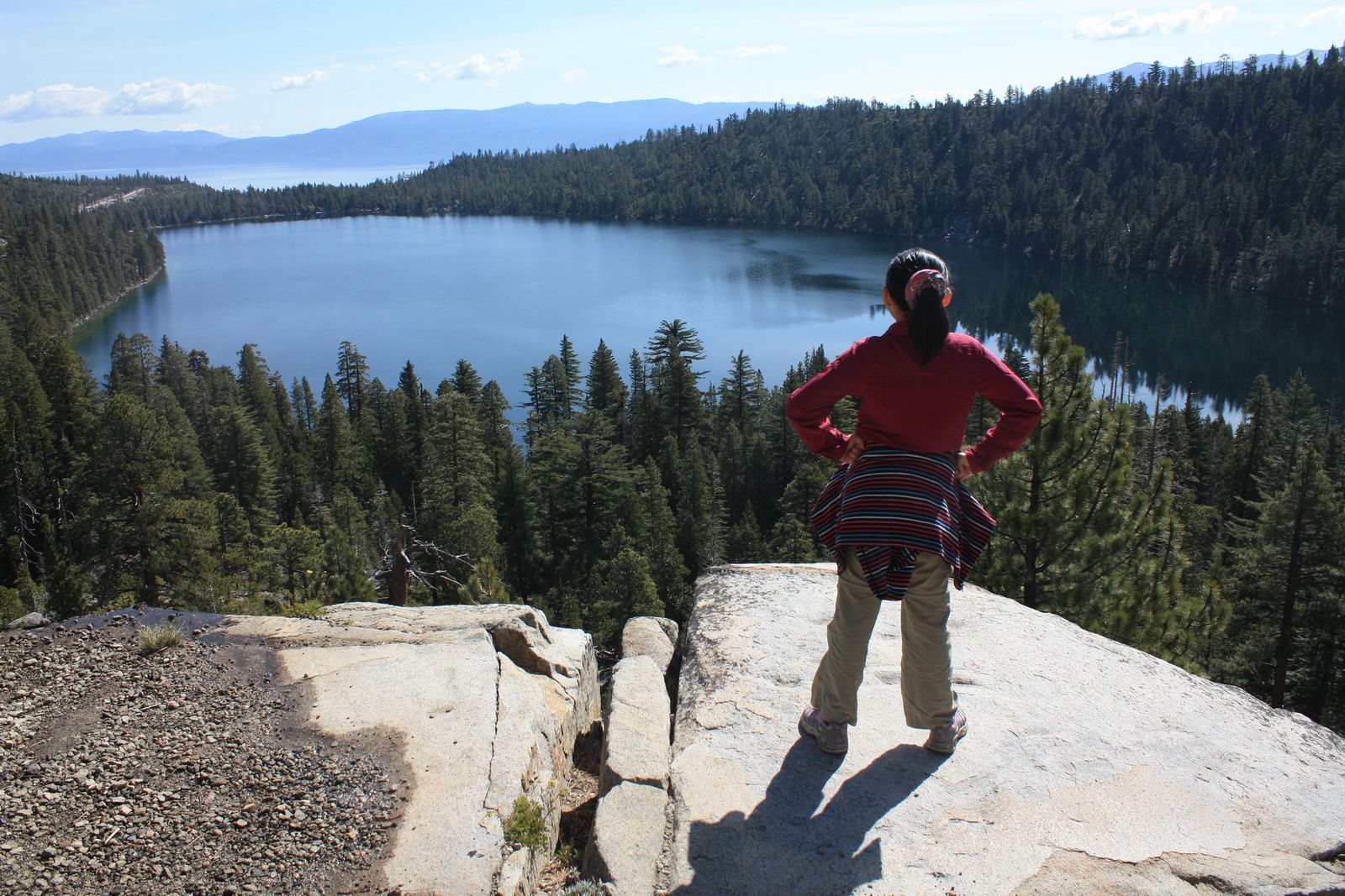
Trailhead access and parking at the Bayview Trailhead, near Cascade Lake
The trailhead sits at Bayview Campground and Day-Use Area on Highway 89, about 8 miles north of South Lake Tahoe, directly across from Inspiration Point, a few miles from the Emerald Bay area covered in my Lake Tahoe trails guide. A day-use fee applies at the Bayview lot (paid via the recreation.gov app on-site); no wilderness permit is needed for this specific trail, even though it sits within the Desolation Wilderness boundary on paper.
Difficulty, distance, and elevation gain to Cascade Falls
A genuine 1.4 to 1.5 mile round trip with under 250 ft of gain, easy and mostly level, though the trail narrows to rocky, exposed footing near the falls themselves with no safety barriers.
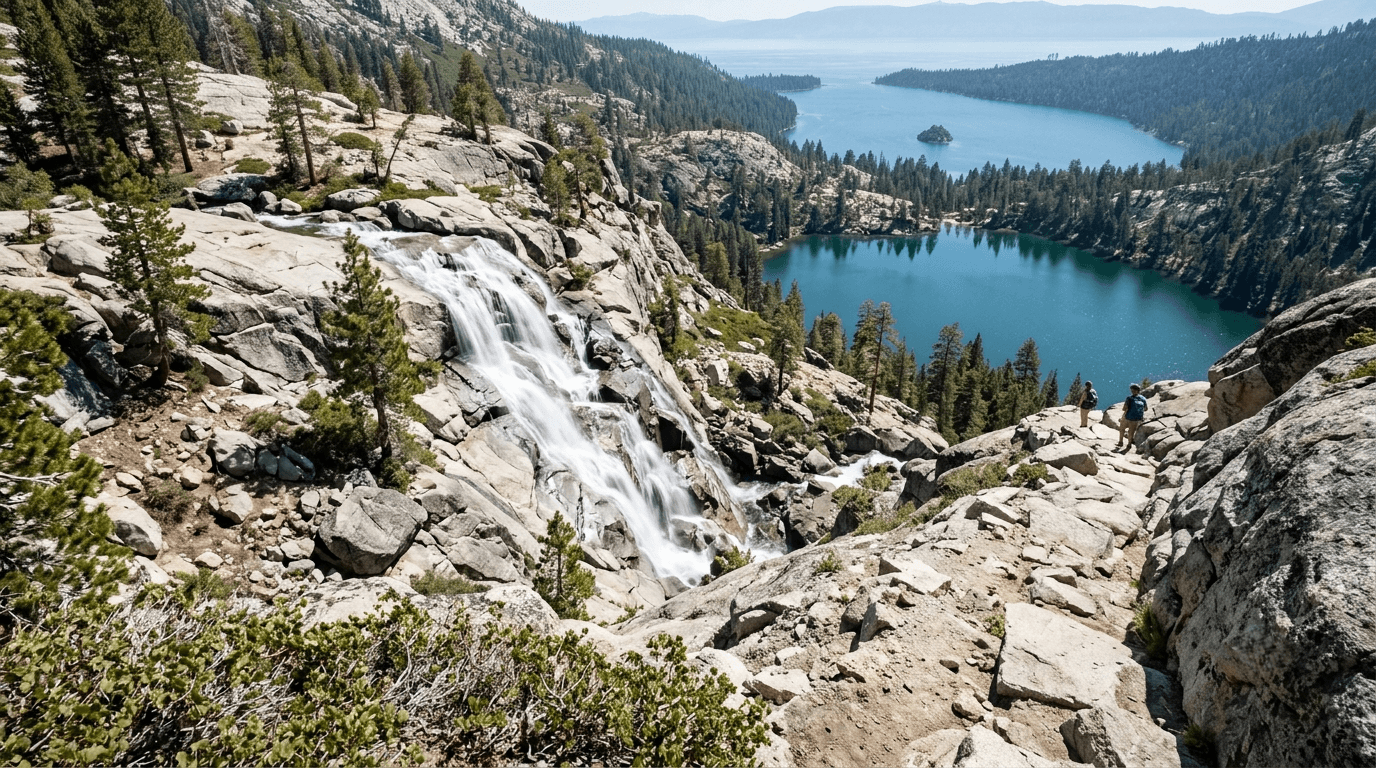
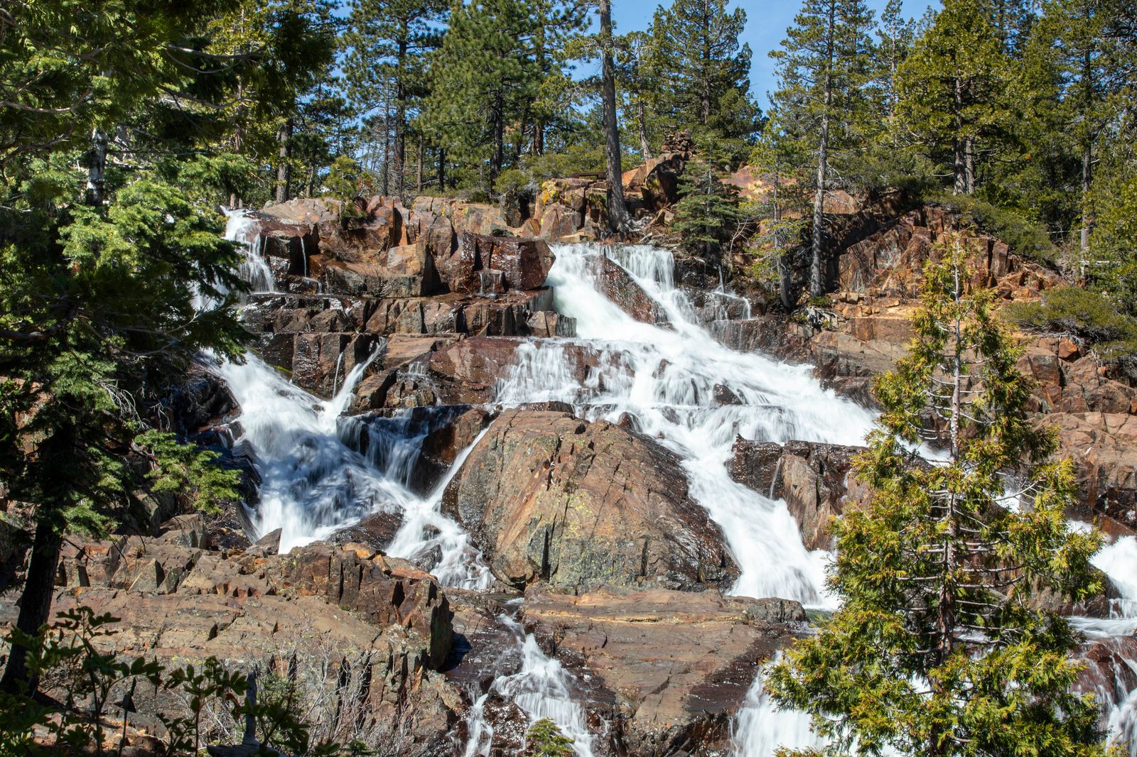
What you’ll see: a waterfall overlooking Cascade Lake and Lake Tahoe beyond
The 200-ft falls sit above Cascade Lake (a private lake, you can look, not swim) with Lake Tahoe itself visible in the distance beyond it, a genuine two-lake vista unmatched by anything else in this guide. This is one of the most popular short hikes in the entire Tahoe basin, so expect real crowds on summer weekends.
Best time to hike Cascade Falls: late spring for peak snowmelt flow
Spring into early summer delivers the strongest flow; the falls do keep flowing into fall, just at a noticeably reduced trickle by late summer.
Horsetail Falls Trail (Pyramid Creek): the dramatic, dangerous one
This is the trail I’d only send someone with sturdy shoes and a real respect for wet granite, the payoff is genuinely spectacular, but this isn’t a casual family stroll.
Trailhead access and parking at the Twin Bridges Trailhead, Highway 50
The trailhead sits directly off Highway 50 near Twin Bridges, a couple of miles east of Strawberry, the most drive-up-convenient waterfall trailhead in this guide. A $5 day-use parking fee applies, and because this trail crosses into Desolation Wilderness, a free self-issue wilderness permit is required at the trailhead, a detail worth knowing before you go, the same permit system covered in full in my Desolation Wilderness guide.
Difficulty, distance, and elevation gain to Horsetail Falls
Figures vary by how far you scramble: reaching the base runs roughly 3 miles round trip with about 600 ft of gain, while continuing up the granite slabs toward the top of the falls stretches to 5 miles round trip and over 1,000 ft. This isn’t a casual number difference, the terrain gets genuinely harder the farther you go.
What you’ll see: a dramatic cascade down exposed granite slabs
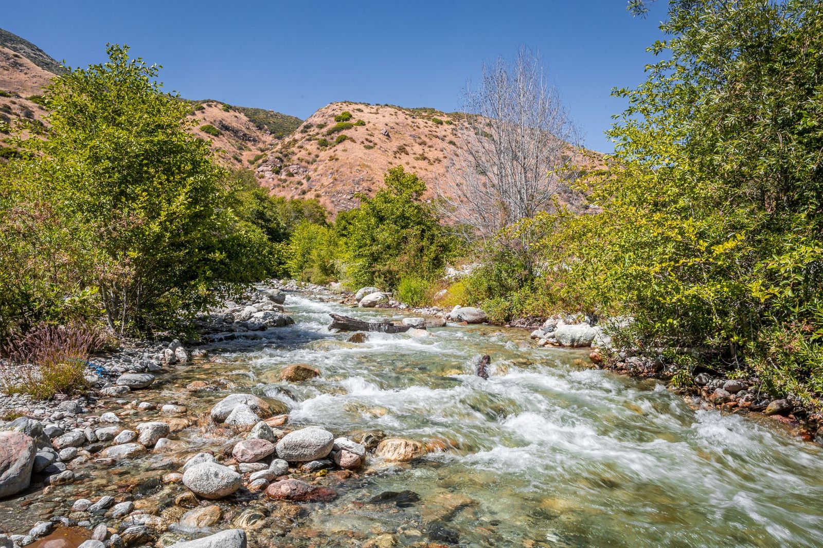
Pyramid Creek sheets down open granite in a series of dramatic drops, fed by the same glacially-carved terrain that gives this area its Special Geological Area designation. Above the initial viewing area, the maintained trail effectively disappears into a field of granite slabs and boulders, expert-level route-finding territory, not a marked path.
Best time to hike Horsetail Falls: early summer, before the flow drops and while caution matters most
Peak snowmelt in late spring and early summer gives you the most dramatic flow, but also the slickest granite, exactly the window where the real caution this trail demands matters most.
Bassi Falls Trail: the under-visited 109-ft cascade
If you want a genuine, substantial waterfall without fighting Emerald Bay crowds, this is the trail I’d point you to instead.
Trailhead access and parking off Ice House Road, Eldorado National Forest
The unmarked pullout sits off Ice House Road near Union Valley Reservoir, reached from Highway 50 near Pollock Pines, genuinely easy to miss; a 4WD vehicle is recommended for the rougher stretches of the access road. Free, no permit required, well outside the wilderness boundary that governs my Eldorado National Forest trails guide.
Difficulty, distance, and elevation gain to Bassi Falls
A short 1.2-mile round trip gets you to the lower cascades with minimal gain; the standard route to the full 109-ft upper cascade runs 4.1 to 4.2 miles round trip with about 446 to 449 ft of gain, easy overall, but genuinely easy to lose the trail in a few spots where it appears to fork.
What you’ll see: a multi-tiered waterfall rarely crowded even in summer
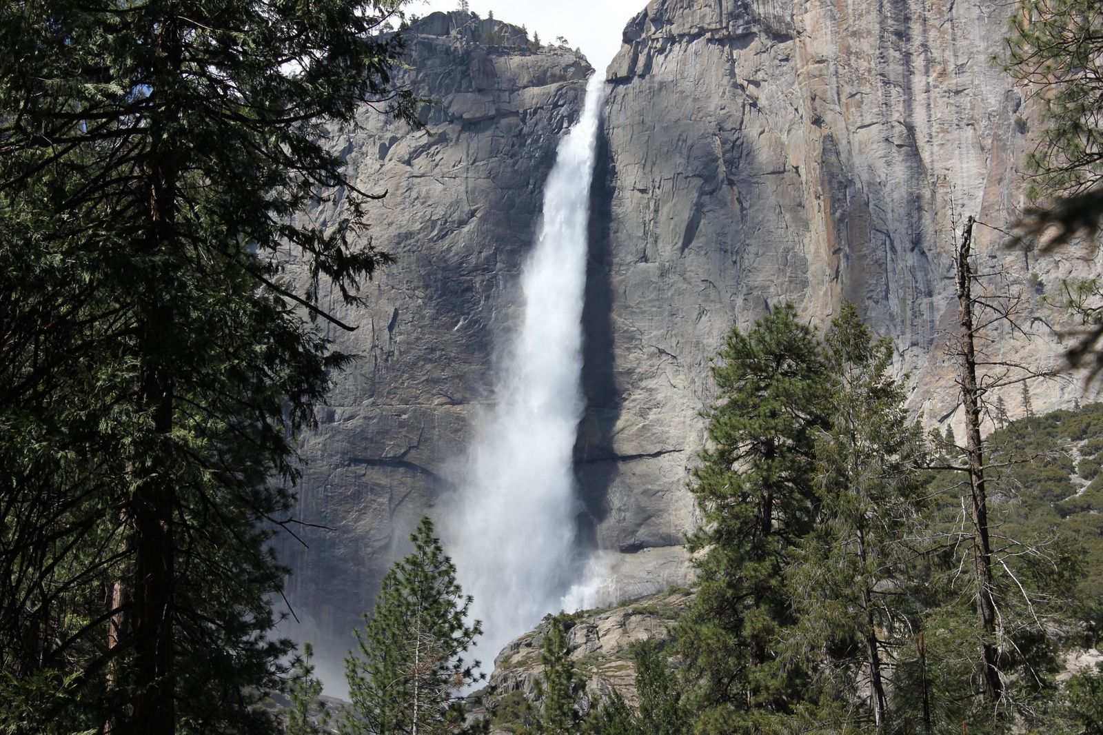
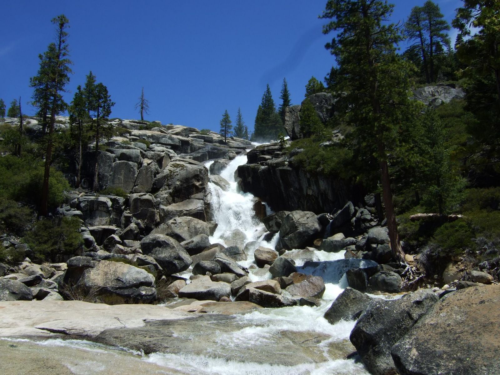
Bassi Creek drops 109 ft over granite in multiple tiers, with real swimming holes at the base if you don’t mind cold snowmelt water. This is consistently one of the least-visited real waterfalls in the county relative to how substantial it is.
Best time to hike Bassi Falls: June for the best snowmelt-fed flow
April and May typically bring the strongest flow in Bassi Creek; by late summer, the creek can shrink to a fraction of its spring self.
Salmon Falls Trail: Gold Rush history, not actually a waterfall
I want to be straight with you about this one before you drive out expecting a cascade.
Trailhead access and parking at the Salmon Falls area, Folsom Lake SRA
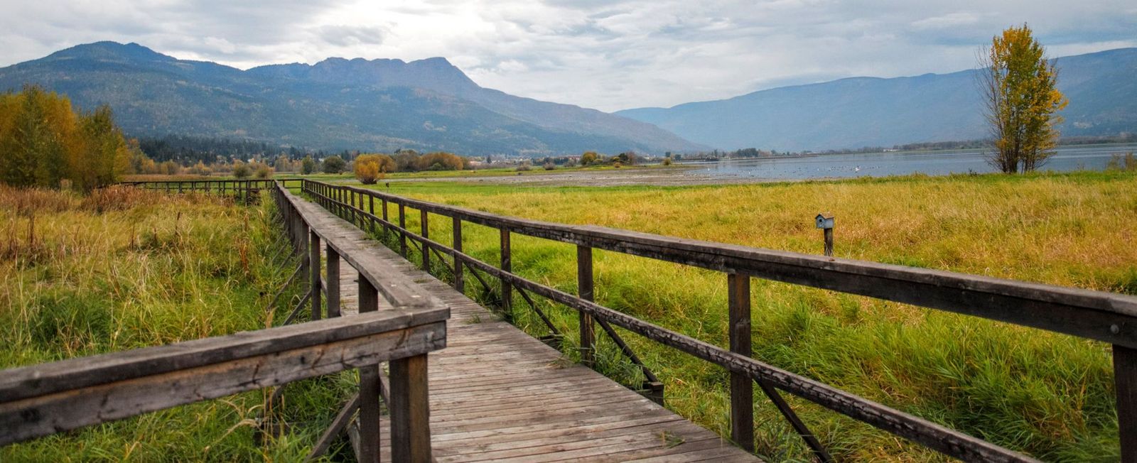
Reached via Salmon Falls Road in El Dorado Hills, about 5 miles from Green Valley Road. Folsom Lake State Recreation Area generally charges an entrance fee, but this specific spot has a genuine workaround: free parking is available in the dirt on the south side of the Salmon Falls Bridge, avoiding the fee entirely.
Difficulty, distance, and elevation gain along the Salmon Falls Trail
Most day hikers do a 3 to 4 mile round trip with roughly 500 ft of gain over rolling foothill terrain, though the trail technically continues much farther, 15-plus miles one-way toward Cronan Ranch for anyone wanting a genuinely long day.
What you’ll see: a foothill river cascade, and Gold Rush ruins, not a waterfall
Here’s the honest version: “Salmon Falls” is the name of a 19th-century Gold Rush settlement, now largely submerged under Folsom Lake except when water levels drop low enough to expose the historic 1925 bridge. What you’ll actually see is river rapids and rocky terrain on the South Fork American River, plus scattered foundations from the old town, genuinely interesting for the history, not for a dramatic cascade.
Best time to hike Salmon Falls: spring for high water, fall for wildflowers
Spring gives you the fullest river and best chance of exposed rapids; fall brings foothill wildflowers and cooler, more comfortable hiking temperatures across the fully exposed terrain.
Lyons Creek Trail: wildflower meadows, not a documented waterfall either
This closes out the post on its most honestly-labeled entry, a genuinely lovely hike, just not the dramatic falls its name in our outline implied.
Trailhead access and parking off Wrights Lake Road, Eldorado National Forest
About 4 miles up Wrights Lake Road from Highway 50 near Kyburz, the same road that leads to the Lyons Creek Trailhead covered for Pyramid Peak in my Desolation Wilderness guide, though this shorter meadow section stays outside that wilderness boundary and needs no permit.
Difficulty, distance, and elevation gain along Lyons Creek
A common turnaround point sits about 5 miles round trip with roughly 800 ft of gain, following an old roadbed alongside the creek through a series of meadows before the trail narrows and steepens.
What you’ll see: a secluded cascade through subalpine meadows, with an honesty note
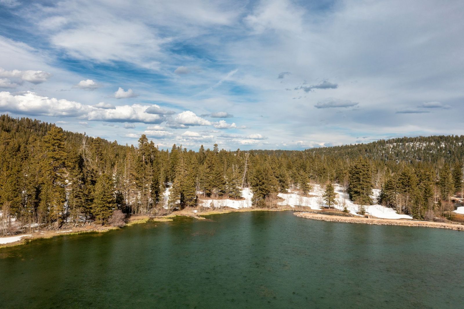
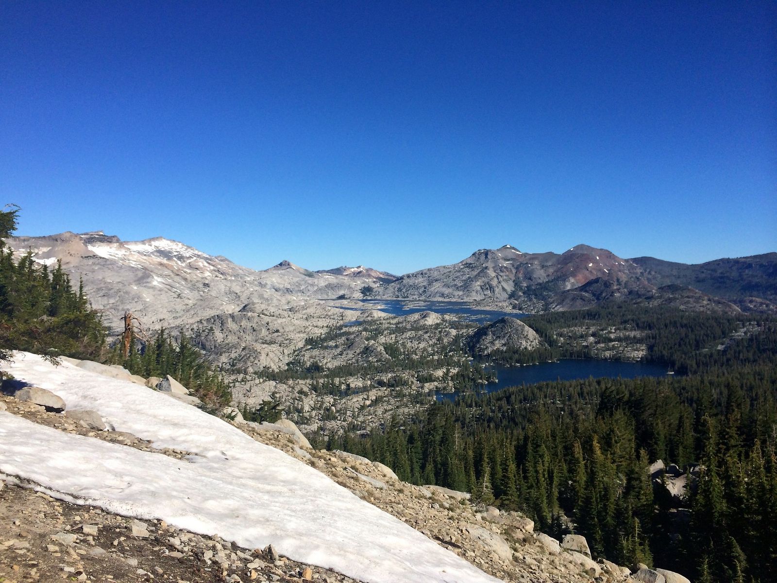
I couldn’t confirm a specific, documented waterfall called “Lyons Creek Falls” in any source I checked. What’s genuinely there is a beautiful subalpine meadow hike with small granite pools and creek cascades, heavy summer wildflowers (alpine lily, columbine, lupine among nearly 50 species some visitors count), and views toward Pyramid Peak, worth hiking for what it actually is, not for a waterfall that isn’t clearly documented under this name.
Best time to hike Lyons Creek: July for wildflower meadows in bloom
Late June through July is peak bloom season here, per the Forest Service’s own wildflower viewing guide for this exact trail.
The trail I’d actually start with
If you’ve only got one waterfall stop in El Dorado County, make it Cascade Falls, the scenery-to-effort ratio here beats everything else in this guide. Bassi Falls is the pick once you want a genuine, substantial cascade without Emerald Bay’s crowds, and Horsetail Falls is the one to save until you’re prepared for real granite scrambling and have your wilderness permit sorted.
Treat Salmon Falls and Lyons Creek as worthwhile hikes on their own honest terms, Gold Rush history and wildflower meadows, respectively, rather than waterfall destinations.
If easy, family-manageable trails are what you’re actually after, several of these, especially Bassi Falls’ shorter option and Cascade Falls, overlap well with my family-friendly trails guide for this county. And since exposed granite and slick rock are the recurring hazard across half the trails in this guide, my breakdown of terrain hazards on California trails is worth reading before you attempt Horsetail Falls specifically.
Frequently asked questions
Is Horsetail Falls dangerous?
It can be, yes, the upper sections involve scrambling over wet, exposed granite with no marked path and no safety barriers. Stick to the lower viewing areas unless you’re comfortable with genuine off-trail granite scrambling, and never attempt the upper falls when the rock is wet or icy.
Is there always water at Cascade Falls?
No, though it’s more reliable than most on this list. Flow peaks in late spring and early summer from snowmelt, tapering to a noticeably reduced trickle by late summer and fall.
Is Bassi Falls hard to find?
Yes, genuinely, the trailhead is an unmarked pullout off Ice House Road, and the trail itself has a few spots where it’s easy to lose track of the real path versus informal side trails. Download an offline map before you go.
When do El Dorado County waterfalls have the most water?
Completely. Salmon Falls is a historic Gold Rush settlement name on the South Fork American River near Folsom Lake, at a much lower elevation than the other trails in this guide, river rapids and old town ruins, not a dramatic granite cascade.
When do El Dorado County waterfalls have the most water?
Late spring through early summer, driven by Sierra snowmelt, this applies to Cascade Falls, Horsetail Falls, and Bassi Falls specifically. Salmon Falls follows a different pattern tied to Folsom Lake’s water level rather than snowmelt timing.
Are El Dorado County waterfalls safe to swim near?
Only in the calmer pools at the base of Bassi Falls, and even then the water is genuinely cold snowmelt. Avoid swimming directly at the top of any of these falls, wet granite above a drop is a real, recurring hazard across this guide, not a hypothetical one.