Hiking Trails in Yuba County, California: Complete Trail Guide
Yuba County runs from Gold Rush-era Marysville up into the Sierra Nevada foothills, where Bullards Bar Reservoir’s 55 miles of shoreline and the Yuba River’s converging forks anchor most of the county’s hiking.
Disclosure: Please note that some of the links below are affiliate links and at no additional cost to you, I may earn a commission. Know that I only recommend hiking gear I personally stand behind; when you use my affiliate links, it helps me run this blog and keep all of this content free of charge for readers (like you).
I’ve spent four-plus years cataloging trails across this state, and the hiking trails in Yuba County reward people willing to pair a short reservoir trail with a spectacular spring wildflower bloom at Spenceville: two very different experiences within a short drive of each other, and neither one draws the crowds you’d find at a comparable destination closer to the Bay Area or Sacramento. This guide covers all three of the county’s hiking zones.
Key takeaways:
- Yuba County’s hiking centers on Bullards Bar Reservoir, Spenceville Wildlife Area, and the Yuba River corridor through Marysville.
- Bullards Bar Reservoir covers 4,700 surface acres with roughly 55 miles of shoreline and more than 20 miles of hiking and biking trails.
- Spenceville Wildlife Area delivers one of the best spring wildflower displays in the Sierra foothills, typically peaking in a narrow window during March and April.
- Dry Creek Trail in Marysville offers a flat, free, 3-mile paved option right in town.
- April through June and September through November are the strongest windows for Bullards Bar; March through May is peak season at Spenceville.
Hiking in Yuba County: Gold Rush foothills and Sierra reservoir trails
Yuba County is anchored by Marysville, a 1849 Gold Rush boomtown, with the Yuba River’s forks converging nearby and the Sierra Nevada foothills rising to the east around Bullards Bar Reservoir. Spenceville Wildlife Area adds rolling oak savanna and grassland on the county’s western edge near Smartville.
None of the three destinations require a long detour if you’re already passing through the northern Sacramento Valley on Highway 20 or 70, which makes them easy to combine into a single longer trip rather than each demanding its own dedicated visit. That same Highway 20 corridor continues west into the hiking trails in Sutter County, home to the Sutter Buttes.
Best hiking trails at Bullards Bar Reservoir, Yuba County
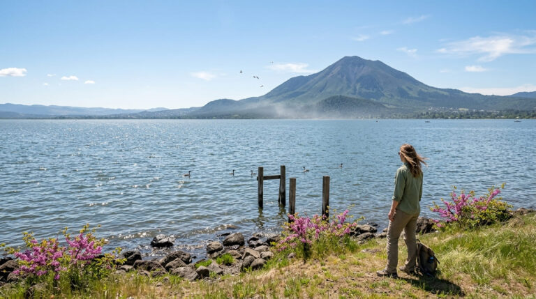
Bullards Bar Reservoir, in Tahoe National Forest about 45 minutes east of Marysville, covers 4,700 surface acres with roughly 55 miles of shoreline and more than 20 miles of hiking and biking trails, most concentrated on the reservoir’s east side.
Water Ski Magazine has named it one of the best recreational lakes in the country, which means summer weekends bring boat traffic even if you’re only there to hike. The reservoir sits close enough to Nevada County that many visitors combine Bullards Bar with a Gold Country stop on the same trip.
Rebel Ridge Trail: Bullards Bar’s quickest scenic reservoir hike
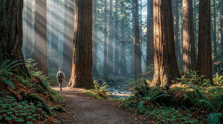
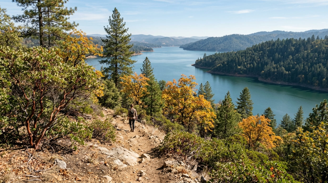
At 1.6 miles, Rebel Ridge Trail from the Dark Day area is one of the shorter options at Bullards Bar (a quick, accessible outing rather than a half-day commitment), passing through canyon oak, manzanita, and ponderosa pine with reservoir views along the way.
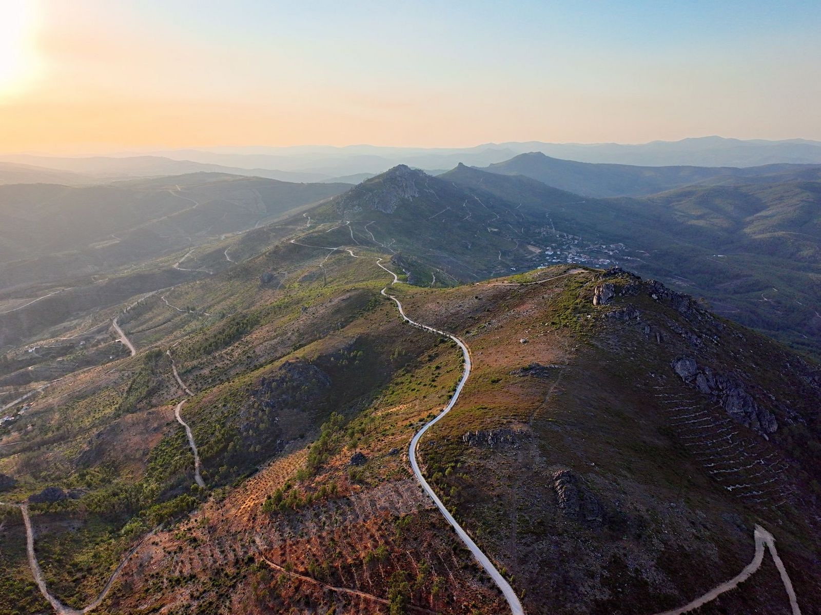
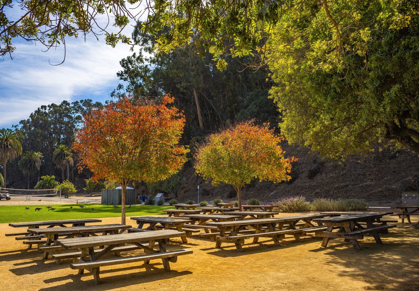
It connects into the broader trail network (including the longer Bullards Bar Trailhead route, at roughly 14 miles, and the shorter 8 Ball and Schoolhouse trails) for hikers who want to extend the day well beyond Rebel Ridge alone. A day-use fee applies at Dark Day Picnic Area; best April through June for wildflowers and September through November for fall color, when the crowds from summer boating season have largely cleared out.
Best hiking trails at Spenceville Wildlife Area, Yuba County
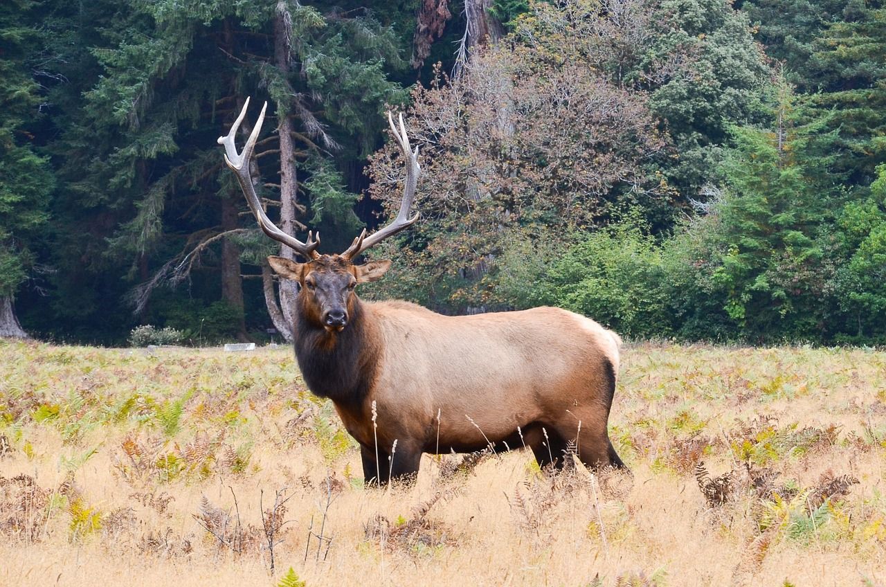
Spenceville Wildlife Area, managed by CDFW near Smartville, protects roughly 11,000 acres of rolling blue oak savanna and grassland, with historic mining ruins at the Timbuctoo ghost town site adding a history layer to the hike beyond just the wildflowers.
Spenceville Wildlife Area Loop: Yuba County’s best wildflower day hike
At 4 to 6 miles depending on the route you choose, this flat-to-rolling loop crosses open savanna that turns into one of the best wildflower displays in the Sierra foothills every March and April: California poppies, lupine, shooting stars, and owl’s clover in a good bloom year, though the peak window can be as narrow as two to three weeks depending on rainfall, so timing matters more here than it does at less weather-dependent destinations.
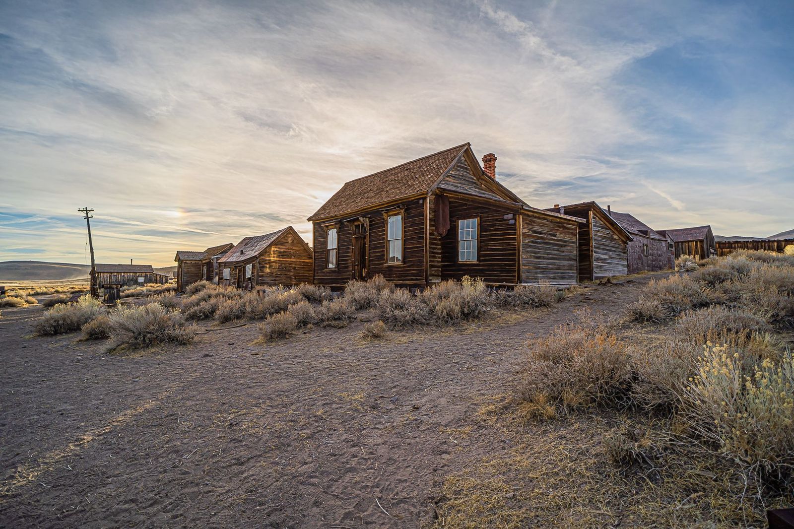
It’s free CDFW public land with no permit required, accessed from the Spenceville Road trailhead off Waldo Road, and the historic Timbuctoo ghost town remnants along the route add a reason to visit outside of peak bloom too.
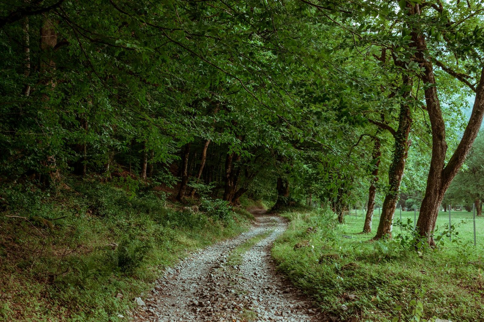
Best hiking trails along the Yuba River, Yuba County
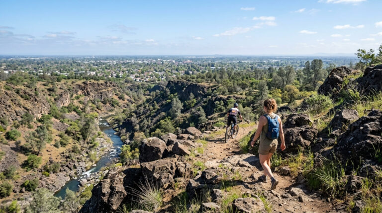
The Yuba River’s South, Middle, and North Forks all converge in Yuba County, with the most accessible local trail right in Marysville itself, a much gentler experience than the Sierra canyon terrain the river runs through further upstream in neighboring counties.
Dry Creek Trail: Marysville’s best easy urban nature walk
This flat, 3-mile paved multiuse trail follows local waterway paths through open, easily accessible terrain. Great blue herons are a common sighting along quieter stretches, especially in the early morning before foot and bike traffic picks up.
It’s free, open year-round from the Ramirez Park area off Simpson Lane, and dogs are welcome on leash. It is a solid daily option for Marysville residents rather than a special-trip destination, and a good place to start if you’re new to hiking and want a low-commitment first outing.
If you’re building broader hiking skills, our beginner’s guide to hiking trails is a solid starting point, and our Leave No Trace guide is worth reviewing given how sensitive Spenceville’s wildflower habitat is to off-trail foot traffic during peak bloom.
Whichever destination you start with, all three of Yuba County’s hiking options are close enough together to combine into a single weekend if you’re making the trip out from the Bay Area or Sacramento.
Frequently asked questions: hiking trails in Yuba County
What hiking trails are near Marysville, California in Yuba County?
Dry Creek Trail offers the most accessible option right in town, while Bullards Bar Reservoir (about 45 minutes east) and Spenceville Wildlife Area (a similar drive west) both make realistic day trips.
What hiking trails are at Bullards Bar Reservoir in Yuba County?
Rebel Ridge Trail (1.6 miles) is the quickest scenic option, connecting into a broader network of more than 20 miles of trails, including the longer Bullards Bar Trailhead route for hikers wanting a bigger day.
Are there wildflower hikes near Marysville in Yuba County?
Yes, Spenceville Wildlife Area delivers one of the best spring wildflower displays in the Sierra foothills, typically peaking in a narrow window during March and April.
What is the Spenceville Wildlife Area and is it good for hiking?
It’s an 11,000-acre CDFW-managed area of oak savanna and grassland near Smartville, free and open to the public, with 4-to-6-mile loop hikes past historic Timbuctoo ghost town ruins.
Are there hiking trails along the Yuba River near Marysville?
Dry Creek Trail is the most direct river-adjacent option in Marysville itself; the Yuba River’s forks converge in the county but don’t have one single continuous trail following them.
When do wildflowers bloom at Spenceville Wildlife Area?
Typically March through April, with peak bloom often lasting only two to three weeks depending on that year’s rainfall. Timing your visit precisely matters more here than at most other wildflower destinations.