The 5 Best Hiking Trails Near Clear Lake, From a Dormant Volcano to a 10,000-Year-Old Archaeological Site
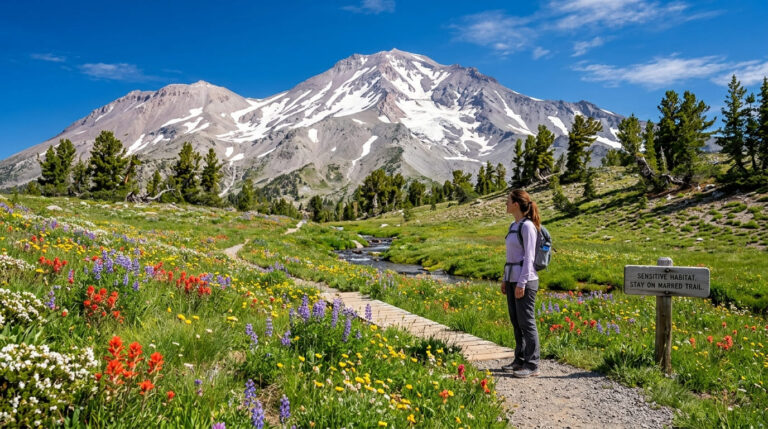
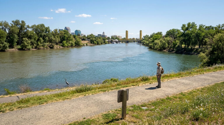
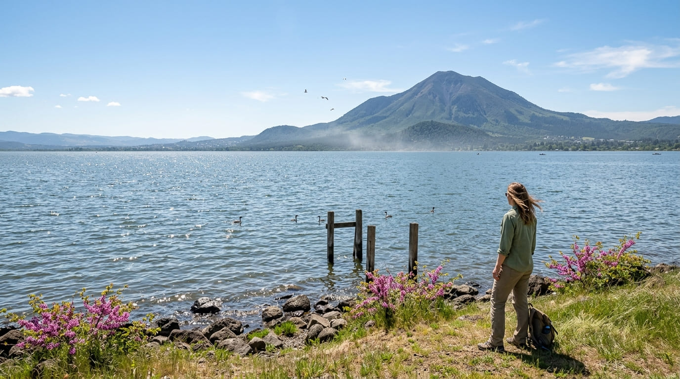
Clear Lake is the largest natural freshwater lake entirely within California’s borders, Lake Tahoe is bigger, but it’s shared with Nevada, which is exactly the kind of distinction locals here are quick to point out. Here’s the short version for the five trails around it: Anderson Marsh is worth it specifically for the archaeological depth, Mount Konocti delivers the single best panoramic payoff in this entire guide, and Redbud Park is the easy, no-effort option when you just want lake access without a real hike. Following these Hiking Trails Near Clear Lake is the best way to experience the area’s unique volcanic and historical shoreline.
Disclosure: Please note that some of the links below are affiliate links and at no additional cost to you, I may earn a commission. Know that I only recommend hiking gear I personally stand behind; when you use my affiliate links, it helps me run this blog and keep all of this content free of charge for readers (like you).
Five trails anchor this guide, circling different sections of the lake’s shoreline and the volcanic terrain that defines this region, from a wetland preserve holding thousands of years of continuous human history to a quiet reservoir most visitors never hear about.
Key takeaways
- The deepest history: Anderson Marsh State Historic Park, wetland habitat alongside one of California’s most significant Pomo archaeological sites, with evidence of habitation dating back 10,000 to 14,000 years.
- The classic lakeside walk: Dorn Nature Trail, shaded oak woodland directly on Clear Lake’s western shore.
- The best panorama: Mount Konocti, a dormant volcano offering the most complete view over the entire Clear Lake basin.
- The easiest lake access: Redbud Park, a flat, free shoreline walk with direct fishing access.
- The quiet alternative: Highland Springs Recreation Area, two smaller reservoirs away from Clear Lake’s busier shoreline.
- This is California’s largest natural lake wholly within state borders, a distinction worth knowing before comparing it to Lake Tahoe.
Anderson Marsh State Historic Park Trail
Trailhead access and parking at Anderson Marsh State Historic Park
A modest $4 self-pay parking fee applies at this state historic park, on Clear Lake’s southeastern edge near the town of Lower Lake.
What you’ll see: a wetland preserve with one of California’s most significant Native American archaeological sites
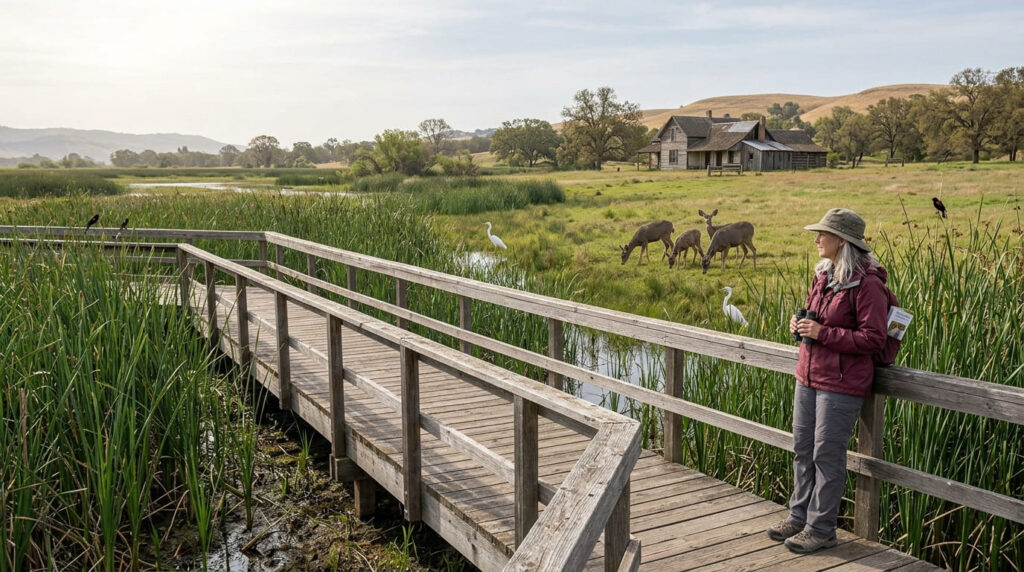
The main Cache Creek Nature Trail runs about 2 miles, level and boardwalk-assisted in places, making it accessible for visitors with limited mobility.
The park protects extensive tule marsh, oak woodland, and grassland habitat, alongside archaeological sites documenting continuous Southeastern Pomo (Koi people) habitation dating back 10,000 to 14,000 years, among the oldest documented human presence anywhere in California.
A 19th-century ranch complex, including a house built in stages across the 1850s, 1880s, and 1920s, adds another historical layer.
Best time to hike Anderson Marsh: winter for migratory bird viewing
Winter brings the heaviest bird activity to the marsh, with more than 150 species documented here across the seasons, a draw for serious birders, not just a passing mention.
Clear Lake State Park: Dorn Nature Trail
Trailhead access and parking at Clear Lake State Park (day-use fee)
A state park day-use fee applies at the entrance, 3.5 miles northeast of Kelseyville on Soda Bay Road, the most developed lakeside trailhead in this guide, with the trail itself accessible from the Upper Bayview Campground area.
What you’ll see: oak woodland along California’s largest natural lake
An easy trail of roughly 1.8 miles winds through shaded oak woodland along the shore, with views over Clear Lake and the aptly named Dorn Cove, confirmation that this stretch of shoreline carries the same name as the trail itself.
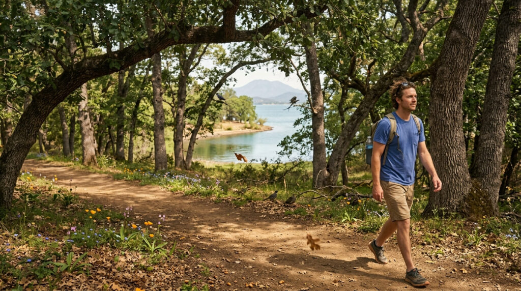
Best time to hike Dorn Nature Trail: spring for wildflowers and bird activity
Spring brings both the strongest wildflower bloom and the most active bird nesting season, the clear seasonal high point for this particular trail.
Mount Konocti Trail
Trailhead access and parking at the Mount Konocti County Park trailhead
A Lake County park trailhead about 15 minutes from Kelseyville, at the base of the region’s most recognizable landmark, a dormant volcano visible from nearly anywhere around Clear Lake.
What you’ll see: a dormant volcano with panoramic views over Clear Lake
The main route to the true summit, sometimes called the Wright Peak Summit Trail, runs a demanding 7.5 miles round trip, gaining about 1,649 ft to the 4,299-ft summit, the most physically demanding trail in this entire guide.
A shorter alternative climbs to Buckingham Peak on the same mountain, covering about 2.6 miles with 1,427 ft of gain, for hikers wanting a real view without the full commitment. From the top, the entire Clear Lake basin spreads out below, with the towns of Lakeport and Clearlake visible along the distant shoreline.
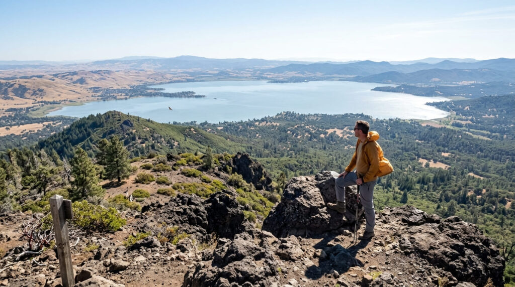
Best time to hike Mount Konocti: clear days for the farthest views
This summit’s entire appeal rests on unobstructed visibility, check current conditions before committing to either route, since a hazy day considerably undercuts the payoff.
Redbud Park Trail (Clearlake)
Trailhead access and parking at Redbud Park, City of Clearlake
Free access at this 15-acre County of Lake park directly on the shore in the city of Clearlake, one of 29 parks the county manages.
What you’ll see: a flat lakeside walk with fishing access
A easy, flat shoreline path connects a fishing pier, boat launch, picnic area, and playground, the most low-commitment, family-friendly trail in this entire guide, requiring no real hiking fitness at all.
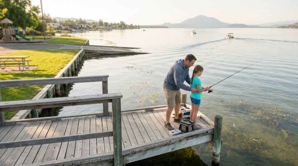
Best time to hike Redbud Park: any season, a reliable easy lakeside option
This flat, developed shoreline stays comfortable and accessible virtually year-round, a dependable choice regardless of when you’re visiting Clear Lake.
Highland Springs Reservoir Trail
Trailhead access and parking at Highland Springs Recreation Area
Free access to this roughly 2,500-acre County of Lake Watershed Protection District property, about 5 miles from Lakeport, with an additional 720 acres of adjacent BLM land leased to the county.
What you’ll see: a quiet reservoir loop popular for fishing
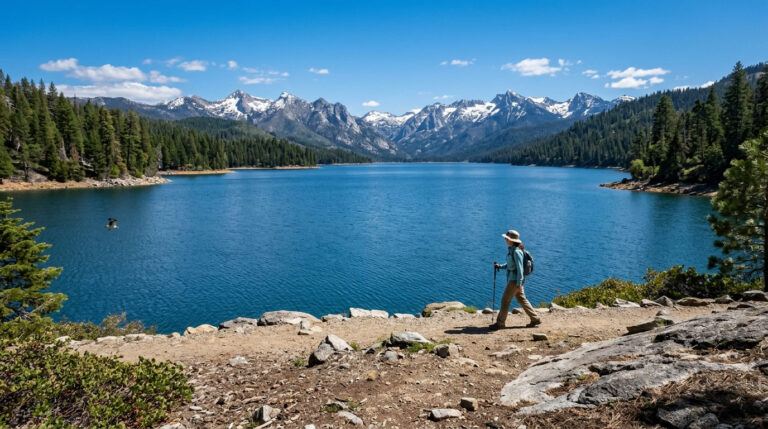
The recreation area actually surrounds two adjacent reservoirs, Highland Springs Reservoir and Adobe Reservoir, both stocked with largemouth bass, sunfish, bluegill, and catfish, offering a calmer alternative to Clear Lake’s busier shoreline.
Some trail sections here run rougher than the more developed trails elsewhere in this guide, with overgrown stretches and inconsistent signage reported in recent visitor reviews, worth expecting a slightly wilder experience than Redbud Park or Dorn Nature Trail.
Best time to hike Highland Springs Reservoir: spring for full reservoir views
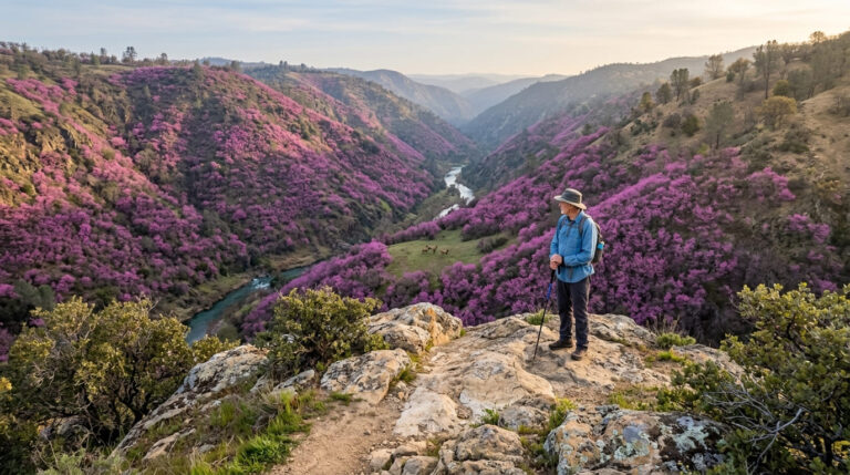
Spring brings both fuller reservoir levels and a notable wildflower display on the surrounding hillsides, including rare species that grow only on the area’s serpentine soils.
The trail I’d actually start with
If you’ve only got one stop, make it Anderson Marsh, nothing else in this guide combines natural habitat with this much documented human history, and the flat, boardwalk-assisted trail makes it accessible to nearly any visitor.
Redbud Park is the pick when you just want easy lake access without a real hike, and Mount Konocti is worth the full commitment specifically for the panorama, weather permitting.
Highland Springs rewards anyone who wants a quieter, slightly rougher alternative to Clear Lake’s more developed shoreline trails, and Dorn Nature Trail sits comfortably in between, a lakeside walk without asking much of you physically.
For the wilderness terrain beyond Clear Lake’s immediate shoreline, my Mendocino National Forest guide covers the Snow Mountain Wilderness next, and my Lake County hiking guide rounds out everything else the county offers.
Frequently asked questions
Is Clear Lake the largest lake entirely in California?
Yes, it’s the largest natural freshwater lake located wholly within California’s borders. Lake Tahoe is larger overall, but it’s shared with Nevada.
Is there an archaeological site at Anderson Marsh?
Yes, the park protects Southeastern Pomo (Koi people) archaeological sites documenting continuous habitation dating back 10,000 to 14,000 years, among the oldest documented human presence anywhere in California.
Is Mount Konocti a volcano?
Yes, a dormant volcanic peak rising directly above Clear Lake’s southern shore, visible from nearly anywhere around the lake.
Can you fish at Redbud Park?
Yes, the park includes a dedicated fishing pier along with a boat launch, making it a popular fishing access point on Clear Lake.
Is Highland Springs Reservoir good for fishing?
Yes, both Highland Springs Reservoir and the adjacent Adobe Reservoir are stocked with largemouth bass, sunfish, bluegill, and catfish.
Which Clear Lake trail has the best views?
Mount Konocti, without much competition, its summit delivers the single most complete panorama over the entire Clear Lake basin of any trail in this guide.