The 5 Best Hiking Trails in the Mendocino National Forest, From the Range’s Highest Peak to a Vanished Resort Town
This is the wilderness-focused companion to my Clear Lake trails guide, a deliberately different focus, trading shoreline access for backcountry terrain across nearly a million acres of national forest. Here’s the short version: Snow Mountain is the trail everyone means when they picture this forest, Goat Mountain is the quieter alternative once Snow Mountain feels crowded, and Bartlett Springs is worth the visit specifically for a remarkable piece of California resort history that’s almost entirely forgotten today. Exploring these premier Mendocino National Forest Hiking Trails offers a true escape into rugged, crowd-free backcountry wilderness.
Disclosure: Please note that some of the links below are affiliate links and at no additional cost to you, I may earn a commission. Know that I only recommend hiking gear I personally stand behind; when you use my affiliate links, it helps me run this blog and keep all of this content free of charge for readers (like you).
Five destinations anchor this final guide, spanning Colusa, Glenn, and Lake Counties. One of them, covered honestly below, isn’t a maintained trail in the conventional sense, and I want that clear before you plan a trip around it.
Key takeaways
- The forest’s highest point: Snow Mountain Summit Trail, 7,056 ft at East Peak, with views toward the Sacramento Valley and, on clear days, the Sierra Nevada.
- The quieter alternative: Goat Mountain Trail, comparable Coast Range views with a fraction of Snow Mountain’s visitation.
- A road, not a trail, and worth knowing that upfront: Big Signal Peak, in the Sanhedrin Wilderness, Clear Lake views, reached by forest road since no developed trail exists here.
- A vanished resort town: Bartlett Springs, once one of California’s most famous mineral springs resorts, now scattered ruins in the forest.
- The peaceful closer: Cedar Camp Trail, a gentle forested loop through mixed conifer and incense cedar.
- No wilderness permits are required anywhere in this guide for day hiking, a free California Campfire Permit covers stove or fire use.
Snow Mountain Summit Trail (Snow Mountain Wilderness)
Trailhead access and parking at the Summit Springs or Deafy Glade Trailhead
Two main approaches lead into the 60,076-acre Snow Mountain Wilderness, which spans Colusa, Glenn, and Lake Counties. No wilderness permit is required for day hiking or even overnight camping here, only a free campfire permit if you’re using a stove or fire.
What you’ll see: the highest peak in the Mendocino National Forest
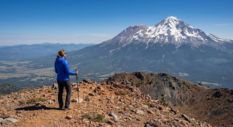
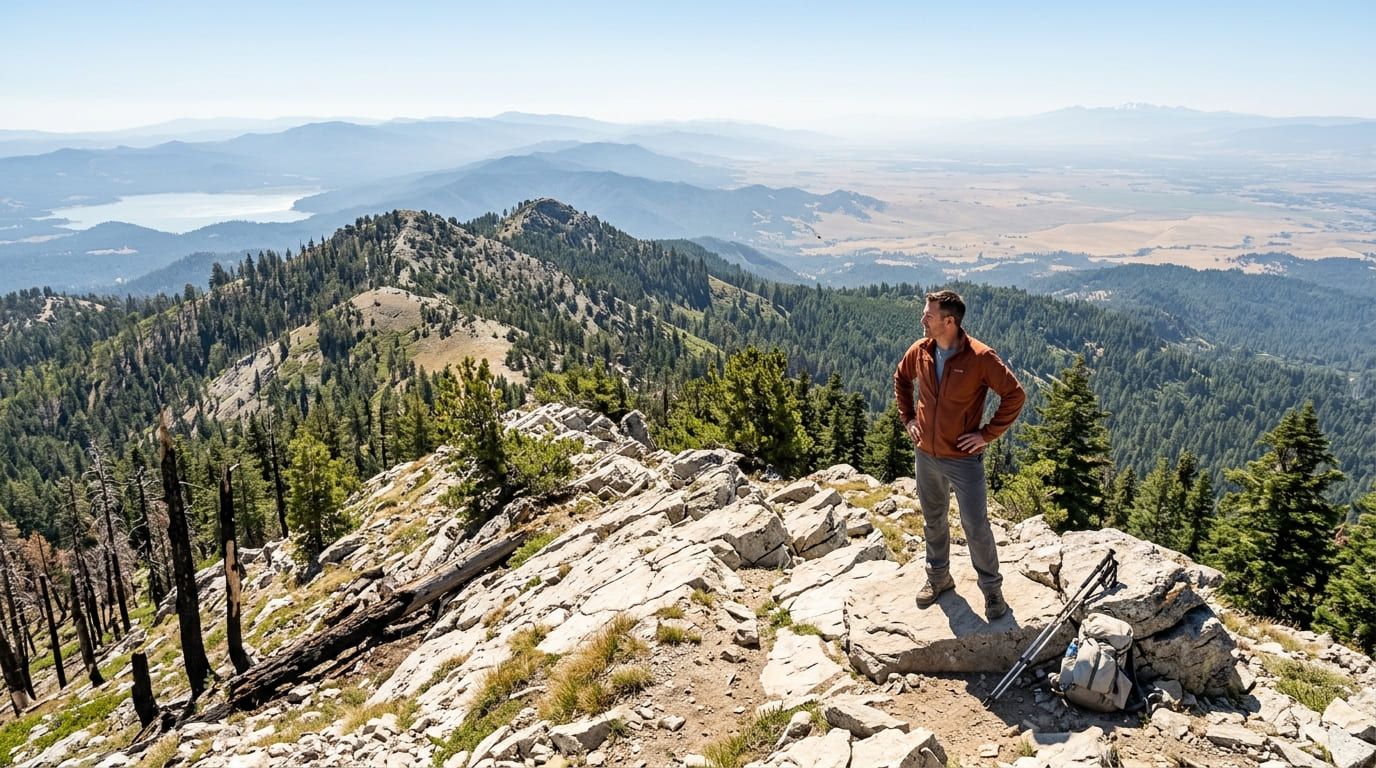
Snow Mountain actually has two summits: East Peak, the taller at 7,056 ft, and West Peak at 7,041 ft. The full round trip via Deafy Glade runs roughly 14 to 16 miles, gaining about 4,000 ft, most of it in the first several miles. From the top, views extend toward the Sacramento Valley, Clear Lake to the southwest, the Coast Range, and, on exceptionally clear days, the Sierra Nevada.
Parts of this route still show real damage from the 2018 Ranch Fire, including burned trail signage and sections of downed, charred timber.
Best time to hike Snow Mountain Summit: summer and early fall, once snow clears
This peak’s namesake snow can linger well into early summer depending on the winter’s snowpack, check current conditions before planning a trip around the summit specifically.
Goat Mountain Trail (Snow Mountain Wilderness)
Trailhead access and parking near Letts Lake, Snow Mountain Wilderness
An alternate, less-visited approach into the same general wilderness area as Snow Mountain, starting near Letts Lake rather than Deafy Glade or Summit Springs.
What you’ll see: a quieter wilderness summit with Coast Range views
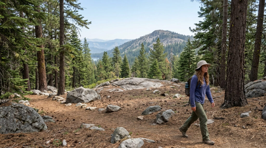
Goat Mountain rises to around 6,000 ft within the broader Mendocino National Forest, a quieter alternative to Snow Mountain itself, with comparable Coast Range and Sacramento Valley views and a fraction of the foot traffic.
Best time to hike Goat Mountain: summer and early fall for stable trail conditions
The same general seasonal window that governs the rest of this wilderness applies here, summer and early fall offer the most reliable access.
Big Signal Peak (Sanhedrin Wilderness)
Trailhead access and parking: a forest road, not a developed trail
In short, the Forest Service’s own page for the Sanhedrin Wilderness confirms no developed trails exist within it. The only public access to this 10,666-acre wilderness area is via Forest Road 20N04, leading to a lookout on Big Signal Peak, a road-accessed viewpoint rather than a maintained footpath.
What you’ll see: the Sanhedrin Wilderness’s highest point, with views toward Clear Lake
At 6,175 ft, Big Signal Peak is the high point of a rugged, largely untrammeled wilderness that includes areas of private land within its boundary. The lookout offers views toward Clear Lake, covered in its own dedicated guide, a lower-elevation vantage than Snow Mountain, reached without a hiking trail at all.
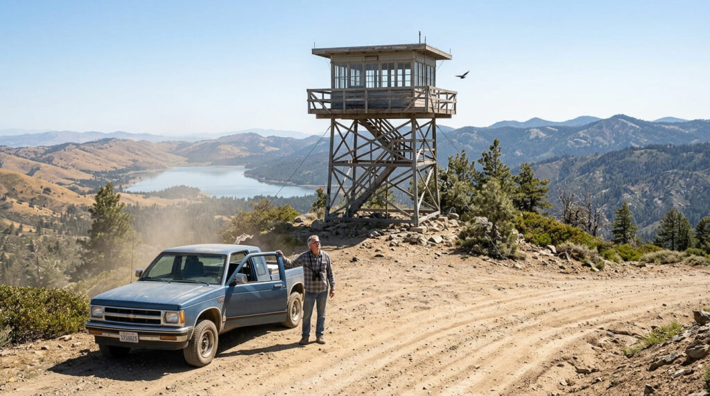
Best time to visit Big Signal Peak: spring and fall for comfortable temperatures
Lower elevation than Snow Mountain makes both summer heat and winter cold more pronounced here, spring and fall offer the most comfortable conditions for the drive up.
Bartlett Springs
Trailhead access and parking near the historic Bartlett Springs site
A Forest Service access point near the site of what was once one of California’s most celebrated mineral springs resorts, on the middle fork of Cache Creek in Lake County’s northeastern reaches.
What you’ll see: the ruins of a once-famous 19th-century mineral springs resort
Discovered in 1870 by Greene Bartlett, a hunter suffering from rheumatism, the springs grew from a few crude cabins into a resort with three hotels, dozens of cabins, a post office, a doctor’s office, and its own bottling plant shipping Bartlett Water across the state in barrels and later glass bottles. By 1900, it was arguably the most popular resort in Lake County.
Popularity declined as automobile travel changed vacation habits in the 1910s, and the resort was largely destroyed by fire in 1934. Partial rebuilding followed over the decades, but the 1996 Fork Fire and later arson left it in the scattered, ruined state it remains in today.
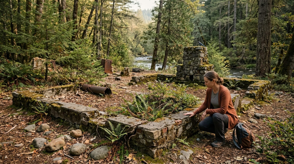
Best time to hike Bartlett Springs: spring and fall for comfortable forest hiking
Standard shoulder-season timing applies here, comfortable temperatures without either summer heat or winter cold, letting the history do the work rather than the weather.
Cedar Camp Trail
Trailhead access and parking at Cedar Camp, Mendocino National Forest
A Forest Service campground trailhead offering one of the gentlest, most accessible hikes anywhere in this forest’s Lake County section, a fitting, quiet note to close on.
What you’ll see: a forested loop through mixed conifer and cedar stands
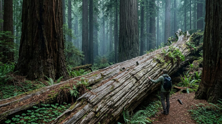
Notable incense cedar stands mix with broader conifer forest here, peaceful terrain, closing out both this guide and this entire county-by-county project on unhurried, shaded ground rather than a dramatic summit.
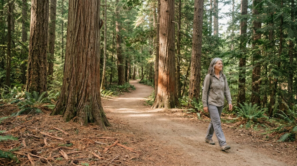
Best time to hike Cedar Camp: a reliable any-season forest walk
Consistent canopy and moderate elevation keep this comfortable across most of the year, the same dependable, low-key quality that makes it a fitting last stop.
The trail I’d actually start with
If you’ve only got one trip into this forest, make it Snow Mountain, it’s the trail that best represents everything this range is known for, fire scars and all.
Goat Mountain is the natural alternative once you want comparable views with real solitude, and Bartlett Springs is worth a dedicated visit specifically for the history, not the hiking.
Big Signal Peak deserves an honest expectation-setting before you go: it’s a drive, not a trail. And Cedar Camp is exactly what it should be, an easy, peaceful walk to end on.
For Clear Lake’s shoreline trails rather than this forest’s backcountry, my Clear Lake trails guide covers that side of Lake County, and my Lake County hiking guide rounds out everything else covered here.
Frequently asked questions
Do you need a permit for Snow Mountain Wilderness?
No wilderness permit is required for day hiking or overnight camping, only a free California Campfire Permit if you’re using a stove or fire, available from the Forest Service.
Is Snow Mountain the highest peak in Mendocino National Forest?
Yes, its East Peak, at 7,056 ft, is the highest point in the entire forest.
Is Goat Mountain less crowded than Snow Mountain?
Yes, its quieter Letts Lake approach draws a fraction of the visitors that Snow Mountain’s more popular Deafy Glade and Summit Springs trailheads see.
Can you see Clear Lake from Sanhedrin Mountain?
Yes, from Big Signal Peak, the Sanhedrin Wilderness’s highest point, though it’s worth knowing this viewpoint is reached by forest road rather than a hiking trail, since no developed trails exist in this particular wilderness.
What happened to the Bartlett Springs resort?
It was largely destroyed by fire in 1934, after decades as one of California’s most popular mineral springs resorts. Later rebuilding was further damaged by the 1996 Fork Fire and subsequent arson, leaving the scattered ruins that remain today.
Which Mendocino National Forest trail is best for beginners?
Cedar Camp Trail, its gentle, forested loop and consistent shade make it the most approachable entry in this entire guide, a fitting easy note to end this project’s coverage of California hiking on.