5 Best Waterfall Hiking Trails in Shasta County, From a Falls That Never Runs Dry to One Rediscovered in 2004
These trails are the Shasta County entries in this two-county pairing, Redding, Whiskeytown, and Burney, distinct from our Mount Shasta trails guide, which actually sits across the county line in Siskiyou County, where you will also find the multi-tiered drops detailed in our Shasta-Trinity waterfall itinerary. This guide covers five real Waterfall Hiking Trails, though I want to flag one important access change upfront: one of these five trails has been substantially closed since 2018 and isn’t the easy family hike it’s sometimes described as. This guide is part of our full Shasta County hiking guide.
Disclosure: Please note that some of the links below are affiliate links and at no additional cost to you, I may earn a commission. Know that I only recommend hiking gear I personally stand behind; when you use my affiliate links, it helps me run this blog and keep all of this content free of charge for readers (like you).
Key takeaways
- Most reliable, any-season waterfall: Burney Falls, a 129-foot spring-fed cascade that essentially never runs dry, “reportedly” once called the eighth wonder of the world by Theodore Roosevelt.
- Best rediscovery story: Whiskeytown Falls, a 220-foot waterfall that was essentially a local secret for decades until a park ranger spotted it in aerial photos in 2004.
- Best family-friendly option: Crystal Creek Falls, a shorter, easier walk in the same recreation area as Whiskeytown Falls.
- A real access correction worth knowing before you go: Brandy Creek Falls, closed to the actual falls since the 2018 Carr Fire, with restoration still incomplete.
- Best swimming hole: Potem Falls, a local secret with a rope swing, reached via a rough access road.
- Three of these five trails (Whiskeytown Falls, Crystal Creek Falls, Brandy Creek Falls) sit inside the same national recreation area but have very different current access status; don’t assume one trail’s condition tells you anything about the others.
How these five Shasta County waterfalls compare
| Trail | Distance | Height | Fee | Current status |
|---|---|---|---|---|
| Burney Falls | ~1.3 mi loop | 129 ft | $10 day-use fee | Fully open, year-round |
| Whiskeytown Falls | ~3.2-3.4 mi round trip | ~220 ft | NRA entrance fee | Open |
| Crystal Creek Falls | Shorter than Whiskeytown Falls | Not specified | NRA entrance fee | Open |
| Brandy Creek Falls | Partial access only | ~30 ft | NRA entrance fee | Closed to the falls itself; lower overlook only |
| Potem Falls | ~0.6 mi round trip | ~65-70 ft | Free | Open, rough access road |
Burney Falls Trail (McArthur-Burney Falls Memorial State Park)
Trailhead access and parking at McArthur-Burney Falls Memorial State Park (day-use fee)
A $10 day-use fee applies at this state park about an hour northeast of Redding, home to the single highest-search-volume waterfall in this guide, and one frequently cited as among California’s most beautiful.
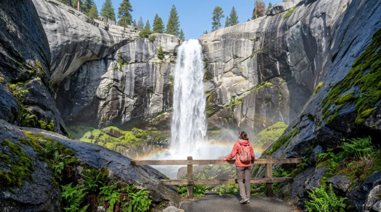
What you’ll see: a 129-foot waterfall fed by underground springs year-round
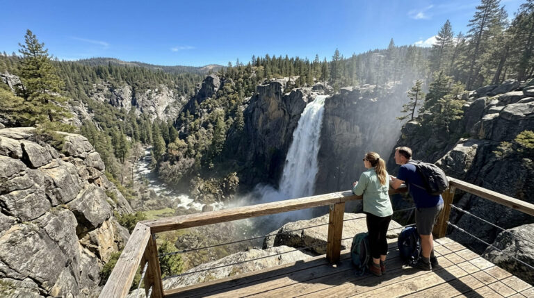
Burney Falls drops 129 feet, fed largely by underground springs rather than surface runoff, which gives it a rare, near-constant flow of roughly 100 million gallons a day, unlike almost every other waterfall covered on this site, it doesn’t meaningfully dry up in late summer. Theodore Roosevelt reportedly called it the “eighth wonder of the world” during a visit; the story is widely repeated, if not independently documented beyond tradition. The easy 1.3-mile loop trail has been upgraded with guardrails and gets you close to water rushing directly out of the rock face.
Best time to hike Burney Falls: any season; one of the few waterfalls that never runs dry
This is the rare waterfall trail on this site where seasonal timing doesn’t matter much for the falls themselves; the spring-fed flow stays consistent year-round, though the park does get considerably busier in summer.
Whiskeytown Falls Trail (Whiskeytown National Recreation Area)
Trailhead access and parking at Whiskeytown National Recreation Area
An entrance fee applies at this National Park Service-managed recreation area near Redding, the first of three Whiskeytown-area waterfalls in this guide, though, as covered below, not all three currently offer the same level of access.
What you’ll see: a tiered ~220-foot waterfall “rediscovered” by park rangers in 2004
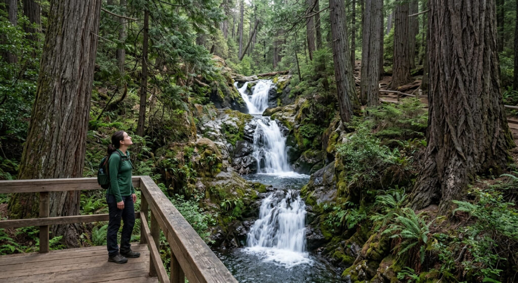
For roughly 40 years, Whiskeytown Falls was known only to a small number of local residents who didn’t share its location, until 2004, when a park natural resource manager studying aerial photographs of the area spotted it and confirmed its existence in person. After two summers of trail construction, the James K. Carr Trail opened to the public in 2005-2006, running about 1.6 to 1.7 miles one-way (3.2 to 3.4 miles round trip) through old-growth forest to the three-tiered falls.
Best time to hike Whiskeytown Falls: late winter through spring for peak flow
Like most rain-and-snowmelt-fed waterfalls, flow peaks in late winter and spring as snow melts off Shasta Bally above, expect a noticeably thinner cascade by late summer.
Crystal Creek Falls Trail (Whiskeytown National Recreation Area)
Trailhead access and parking near the Whiskeytown Visitor Center
This trail shares the same recreation area entrance fee as Whiskeytown Falls, but via a shorter, more family-manageable approach, it reopened alongside Whiskeytown Falls on Valentine’s Day 2020 after both trails were restored following 2018 fire damage.
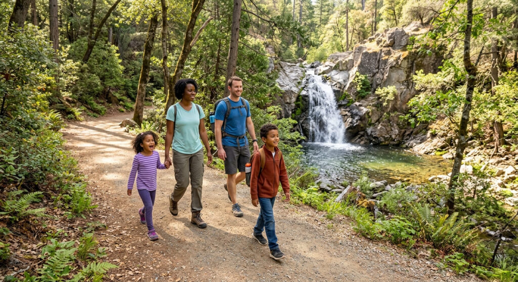
What you’ll see: a shorter, family-friendly waterfall walk
This is the easier-tier entry among this guide’s three Whiskeytown-area waterfalls, well suited to families who want a real waterfall payoff without Whiskeytown Falls’ longer uphill approach.
Best time to hike Crystal Creek Falls: spring for the fullest flow
Spring rainfall and snowmelt drive this creek’s peak flow, the same seasonal pattern as its larger neighbor nearby.
Brandy Creek Falls Trail (Whiskeytown National Recreation Area), a real access correction
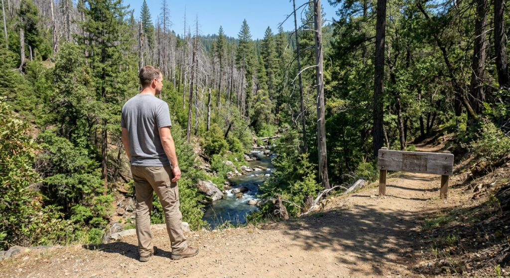
I want to be direct about this one rather than describe it as a normal, fully open hike: Brandy Creek Falls has been substantially closed since the 2018 Carr Fire, and it remains that way as of current park guidance.
Trailhead access and parking at the Brandy Creek Falls Trailhead
Brandy Creek Road itself is open, leading to the Brandy Creek Falls Trailhead, primitive campgrounds, and Shasta Bally Road. But the trail beyond the trailhead is a different story: the Carr Fire caused severe washouts and erosion damage that the National Park Service has been repairing in phases for years, Whiskeytown Falls and Crystal Creek Falls reopened in 2020, and Boulder Creek Falls (a fourth Whiskeytown-area waterfall not covered in this guide) reopened in 2022, but Brandy Creek Falls itself has remained closed longer than either.
Recent trail-status reporting describes it as partially open only to a lower falls overlook, with the falls itself still inaccessible.
What you’ll see: what’s actually accessible right now
Rather than describe the multi-tiered cascade this trail is historically known for as if it’s currently reachable, the honest answer is: check current NPS alerts and conditions before planning a trip here specifically for the falls. A lower overlook may be accessible, but the full trail experience this park is known for isn’t currently available the way it is at Whiskeytown Falls or Crystal Creek Falls.
Best time to hike Brandy Creek Falls: check current NPS trail status before you go
This is the one trail in this guide where “best time to hike” depends less on season and more on restoration progress; confirm current access directly with Whiskeytown National Recreation Area before building a trip around this specific waterfall.
Potem Falls Trail (Shasta-Trinity National Forest)
Trailhead access and parking off a Forest Service road near Lake Shasta
Free access via Fenders Ferry Road, a rough, largely unpaved forest road; high-clearance is recommended, and the unsigned trailhead pullout is easy to miss. This is the least-developed access point in this entire guide.
What you’ll see: a waterfall with a swimmable pool at its base
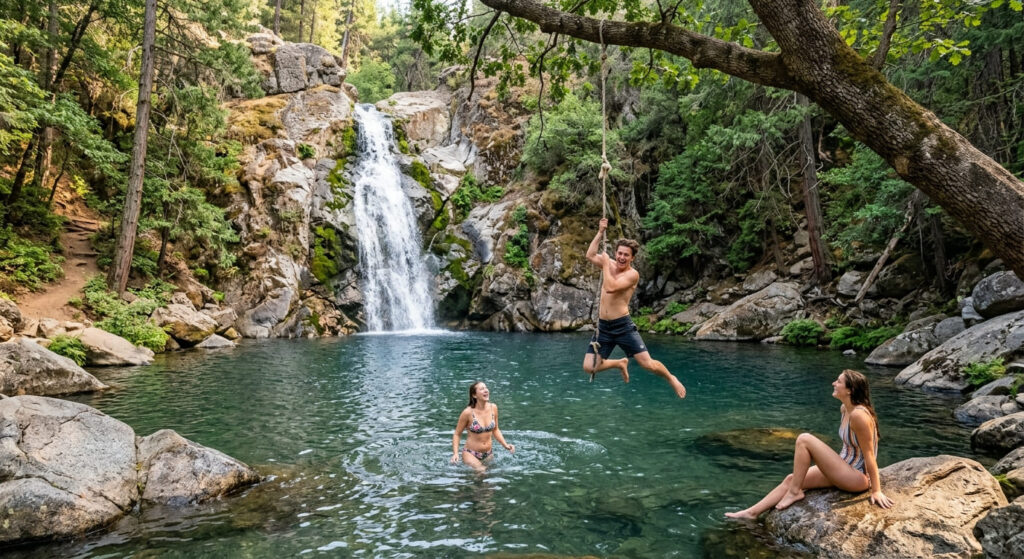
Potem Falls drops roughly 65 to 70 feet into a swimming hole, complete with a rope swing, on a short 0.6-mile round-trip trail with about 140 feet of elevation change, one of Shasta County’s most popular local swimming spots specifically because so few visitors know how to find it. One real caution: spring runoff makes the pool dangerously cold and fast-moving; wait until late June for water that’s actually safe and comfortable to swim in.
Best time to hike Potem Falls: summer for swimming, spring for peak flow
Spring delivers the strongest waterfall flow; summer brings the warmest, safest swimming conditions. Pick based on which draw matters more to you, since you can’t have both at their peak simultaneously.
Frequently asked questions about waterfall hiking trails in Shasta County
Is Burney Falls always flowing?
Yes, essentially, it’s fed primarily by underground springs rather than surface runoff, giving it a consistent flow of roughly 100 million gallons a day even through dry summer months.
How was Whiskeytown Falls rediscovered?
A park natural resource manager spotted it while studying aerial photographs in 2004, then confirmed it in person, it had been known to a small number of local residents for decades who hadn’t shared its location publicly.
Is there a fee at Whiskeytown National Recreation Area?
Yes, an entrance fee applies for the whole recreation area, covering access to Whiskeytown Falls, Crystal Creek Falls, and Brandy Creek Falls (where currently accessible).
Can you swim at Potem Falls?
Yes, it’s one of Shasta County’s most popular swimming holes, with a rope swing at the base. Avoid it during spring runoff, when the water runs dangerously cold and fast; late June onward is safer.
Which Shasta County waterfall is easiest to reach?
Burney Falls, with its short, guardrail-upgraded 1.3-mile loop and paved parking, is the easiest and most reliable option in this entire guide.
Is Crystal Creek Falls good for kids?
Yes, it’s the most family-friendly of the three Whiskeytown-area waterfalls covered here, shorter and easier than the hike to Whiskeytown Falls.