5 Best Hiking Trails in Bidwell Park, From a Shallow Family Swimming Hole to a Canyon Tied to Significant Indigenous History
Bidwell Park is one of the largest municipal parks in the United States, stretching from downtown Chico into rugged upper-canyon terrain along Big Chico Creek. This guide covers the park’s five defining trails; for canyon hikes elsewhere in the county, see our Butte County canyon trails guide, part of our full Butte County hiking guide. Highlighting the premier Hiking Trails in Bidwell Park is the ultimate way to see how city limits transform directly into deep, volcanic wilderness.
Disclosure: Please note that some of the links below are affiliate links and at no additional cost to you, I may earn a commission. Know that I only recommend hiking gear I personally stand behind; when you use my affiliate links, it helps me run this blog and keep all of this content free of charge for readers (like you).
Key takeaways
- Easiest, most family-friendly swimming hole: Alligator Hole, a shallow, easy-access spot in Upper Bidwell Park.
- Most distinctive landmark: Monkey Face, a volcanic basalt formation whose silhouette resembles a face, overlooking Horseshoe Lake.
- Most historically significant: Yahi Trail, a canyon route named for the Yahi people, whose history here deserves accurate, careful telling.
- Popular fishing and hiking destination: Horseshoe Lake, known for its scenic views of Monkey Face and annual Kids’ Fishing Day.
- A real safety note worth taking seriously: Bear Hole, a genuinely popular swimming spot with a documented history of fatal drownings.
- All five trails are free, all follow Big Chico Creek in some form, and swimming culture is central to why locals actually use this park.
How these five Bidwell Park trails compare
| Trail | Location | Difficulty | Best for |
|---|---|---|---|
| Alligator Hole | Upper Bidwell Park | Easy | Shallow, family-friendly swimming |
| Monkey Face | Upper Bidwell Park | Easy-moderate | Distinctive rock formation |
| Yahi Trail | Upper Bidwell Park | Moderate | History, longer creekside hike |
| Horseshoe Lake / Peregrine Point | Upper Bidwell Park | Easy | Fishing, hiking, scenic views |
| Bear Hole | Upper-mid Bidwell Park | Moderate | Quieter swim spot, read the safety note |
Alligator Hole Trail (Lower-to-Upper Bidwell Park)
Trailhead access and parking in Upper Bidwell Park, Chico
A free City of Chico park trailhead serves this spot, reachable by hiking, driving, or mountain biking, it’s the first swimming hole along the Yahi Trail corridor and genuinely the easiest to reach of any in this guide.
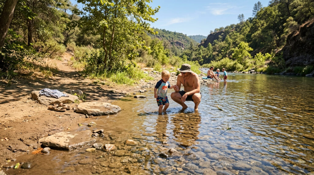
What you’ll see: a popular, shallow Chico Creek swimming hole
Alligator Hole is a shallow, family-friendly swimming spot near an area the Boy Scouts commonly use for campouts, a limited, somewhat muddy stretch of shoreline works fine for a picnic if you beat the crowds to it. One local etiquette note: please don’t build rock dams here, since they block salmon from moving upstream during their run.
Best time to hike Alligator Hole: summer for swimming, any season for the walk itself
Summer swimming season drives this trail’s peak popularity, though the walk itself remains genuinely pleasant across the rest of the year when the creek runs cooler and quieter.
Monkey Face Trail (Upper Bidwell Park)
Trailhead access and parking in Upper Bidwell Park, Chico
A free trailhead near Parking Lot E serves this spot, in the park’s more rugged upper section, a genuinely different character than the developed, family-oriented lower park. Stay on marked, designated paths; ongoing erosion-control efforts here mean off-trail use does real damage.
What you’ll see: a distinctive basalt rock formation resembling a face
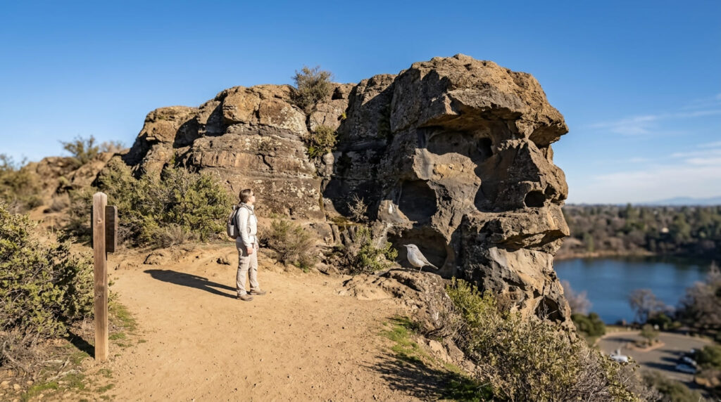
Monkey Face is a volcanic basalt outcrop whose silhouette resembles a face, facing west over Horseshoe Lake and its parking area below, Big Chico Creek has cut through multiple layers of this volcanic rock over time, and the formation is one of the more genuinely distinctive landmarks in the entire park.
Best time to hike Monkey Face: cooler months, upper park terrain is exposed
Most of Upper Bidwell Park’s volcanic terrain is largely shadeless, making cooler-season timing meaningfully more comfortable than a hot Central Valley summer visit.
Yahi Trail (Upper Bidwell Park)
Trailhead access and parking near the Diversion Dam, Upper Bidwell Park
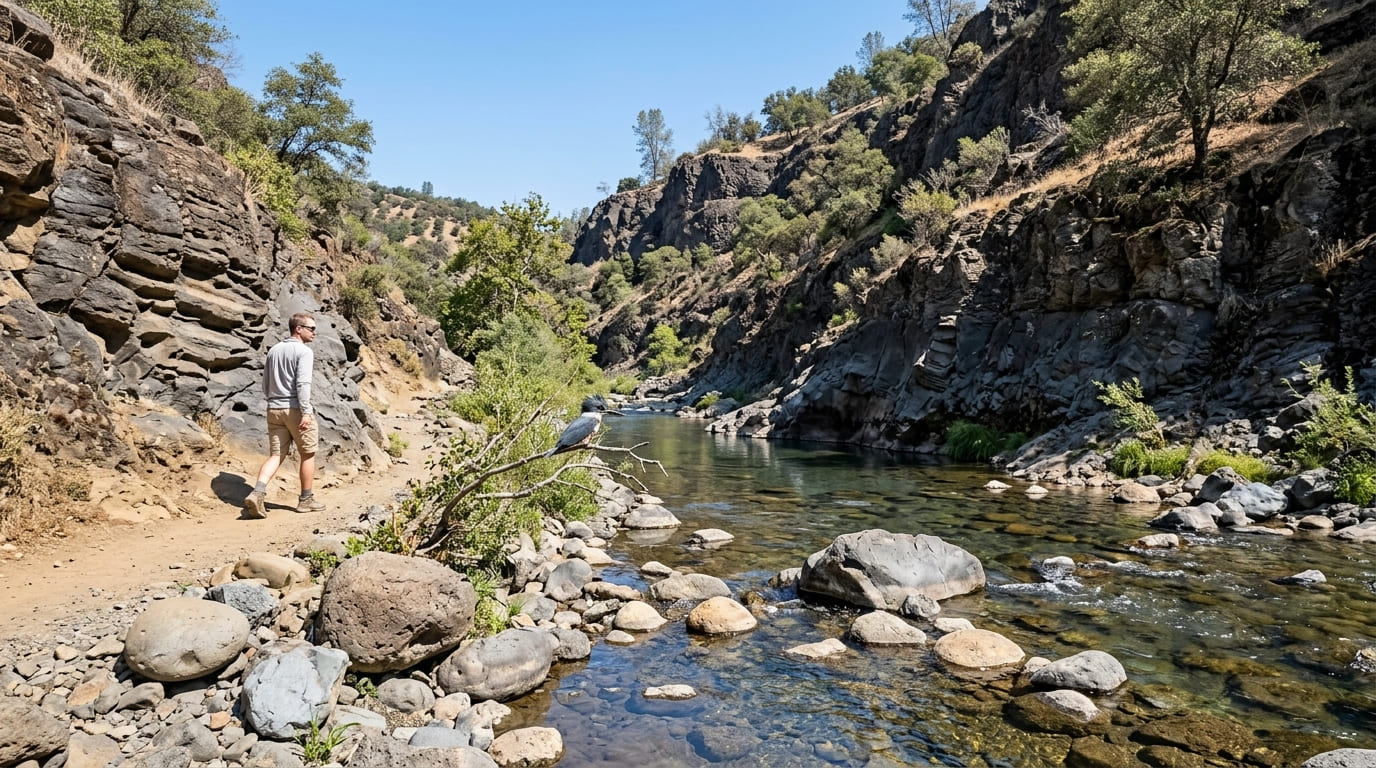
A trailhead near the park’s historic Diversion Dam, which once channeled water from Big Chico Creek for city use, leads onto this rugged canyon route, built in the late 1960s by the local Sierra Club chapter and running roughly 6 to 8 miles along the creek, depending on the exact route and turnaround point.
What you’ll see: a canyon tied to the history of the Yahi people
I want to tell this accurately rather than as a quirky trivia fact. The trail is named for the Yahi people, whose broader ancestral territory included this region of foothill canyons.
The Yahi, along with much of their parent tribe, the Yana, were killed in the California genocide during the 19th century, including the 1865 Three Knolls Massacre, which killed most of the surviving Yahi outright. A small number of survivors, including a man later known as Ishi, spent decades in hiding rather than living freely, out of justified fear of further violence.
Ishi emerged near Oroville, a different town about 25 miles from this specific canyon, in August 1911, the last known member of his people, and spent his remaining years working with anthropologists at UC Berkeley to document Yahi language and culture before his death in 1916. This trail commemorates that history rather than marking the exact site of his emergence.
Best time to hike Yahi Trail: spring and fall for comfortable canyon temperatures
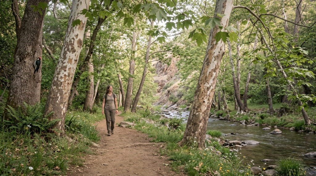
This canyon’s largely exposed rock terrain makes shoulder-season timing more comfortable than either extreme summer heat or winter conditions, spring also brings genuine wildflower bloom along the shadier, sycamore-lined stretches.
Horseshoe Lake / Peregrine Point Trail (Upper Bidwell Park)
Trailhead access and parking near Horseshoe Lake, Upper Bidwell Park
Free parking serves one of the park’s most popular fishing and picnicking destinations, genuinely one of the busiest single spots in the entire park on a summer weekend.
What you’ll see: a scenic park area popular for fishing and hiking
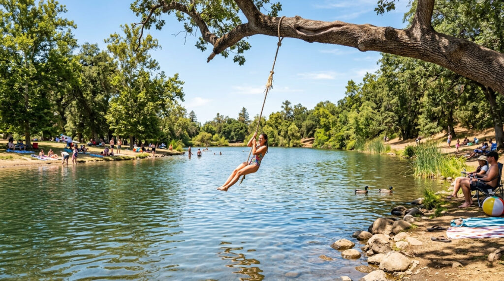
Swimming in Horseshoe Lake is prohibited by Chico city ordinance. Instead, it is a highly popular fishing site (famous for the annual Kids’ Fishing Day) and a scenic park area offering excellent views of Monkey Face. Expect real company here on a sunny day.
Best time to hike Horseshoe Lake: spring and summer for fishing and walking, weekdays for fewer crowds
This spot’s intense summer popularity makes weekday visits notably quieter than weekends, a genuine, practical trade worth making if crowds bother you.
Bear Hole Trail (Upper-Mid Bidwell Park), a real safety note
Trailhead access and parking near the middle section of Bidwell Park
A trailhead in the transitional zone between the developed lower park and the rugged upper park offers the largest parking lot of any swimming hole in the park, complete with portable toilets, a sign of how frequently this specific spot gets used.
What you’ll see: a genuinely popular swimming hole, and a documented safety history worth taking seriously
Bear Hole has deep, clear water in spring and summer, smooth basalt rocks for sunbathing, and a genuinely loyal local following. Here’s the direct safety note: currents here have a real, documented history of being dangerously unpredictable, four people drowned here within a few months in 1998 alone.
Diving off the high rocks is a popular activity, but it’s genuinely dangerous and has led to serious, sometimes fatal injuries. Always scout current conditions before jumping in, and treat this spot with real respect rather than assuming it’s as safe as it looks on a calm day.
Best time to hike Bear Hole: a quieter summer alternative to the park’s busier swimming holes
Bear Hole’s relative distance from the main lower-park crowds makes it a natural overflow option when Alligator Hole feels too packed, though “quieter” here doesn’t mean “safer,” so the same current caution applies regardless of how many people are around.
Frequently asked questions about hiking trails in Bidwell Park, Butte County
Is Bidwell Park one of the largest parks in the US?
Yes, at roughly 3,670 acres, it’s genuinely one of the largest municipal parks in the country, stretching from downtown Chico into rugged upper-canyon wilderness.
Who was Ishi?
Ishi was the last known member of the Yahi people, most of whom were killed in the California genocide during the 19th century. He emerged near Oroville in 1911 after decades in hiding and spent his remaining years working with anthropologists to document Yahi culture before his death in 1916.
Is Alligator Hole good for swimming?
Yes, it’s genuinely the shallowest, easiest, most family-friendly swimming hole covered in this guide, popular for wading and a casual dip rather than serious swimming.
What is Monkey Face at Bidwell Park?
A distinctive volcanic basalt rock formation in Upper Bidwell Park whose silhouette resembles a face, overlooking Horseshoe Lake below.
Is Horseshoe Lake crowded on weekends?
Yes, genuinely, it’s one of the most popular single spots in the entire park during summer weekends for walking, fishing, and taking in views of Monkey Face, with weekday visits offering a real, practical break from the crowds.
Which Bidwell Park swimming hole is least crowded?
Bear Hole tends to be quieter than Alligator Hole, though its currents have a real, documented safety history, quieter doesn’t mean safer here, so treat it with genuine caution regardless of crowd size.