The 5 Best Lake Hiking Trails in Trinity County, From One of California’s Largest Reservoirs to a Remote Anglers’ Lake
This guide is the deliberately different, easier counterpart to my Trinity Alps Wilderness guide: no wilderness permits, no granite scrambling, just accessible reservoir and Lake Hiking Trails in Trinity across the county’s non-wilderness terrain. In short: Trinity Lake Shoreline is the trail for sheer scale, Lewiston Lake is the pick for a calm, no-wake fly-fishing setting, and Ruth Lake is worth the drive specifically for seclusion.
Disclosure: Please note that some of the links below are affiliate links and at no additional cost to you, I may earn a commission. Know that I only recommend hiking gear I personally stand behind; when you use my affiliate links, it helps me run this blog and keep all of this content free of charge for readers (like you).
Key takeaways
- Best sheer scale: Trinity Lake Shoreline Trail: sweeping views over one of California’s largest reservoirs, backed by distant Trinity Alps peaks.
- Best calm-water fly fishing: Lewiston Lake Trail: a no-wake lake below Trinity Dam.
- Most secluded: Ruth Lake Trail: a forested reservoir in the county’s remote southern reaches, popular with locals rather than tourists.
- Best shaded shoreline walk: Mary Smith Trail: consistent bank-fishing access along Lewiston Lake’s quieter southern shore.
- Best elevated overview: Bowerman Ridge Trail: a ridge-top vantage over the entire Trinity Lake basin.
Trinity Lake Shoreline Trail (Stoney Point)
Trailhead access and parking at Stoney Point, Trinity Lake
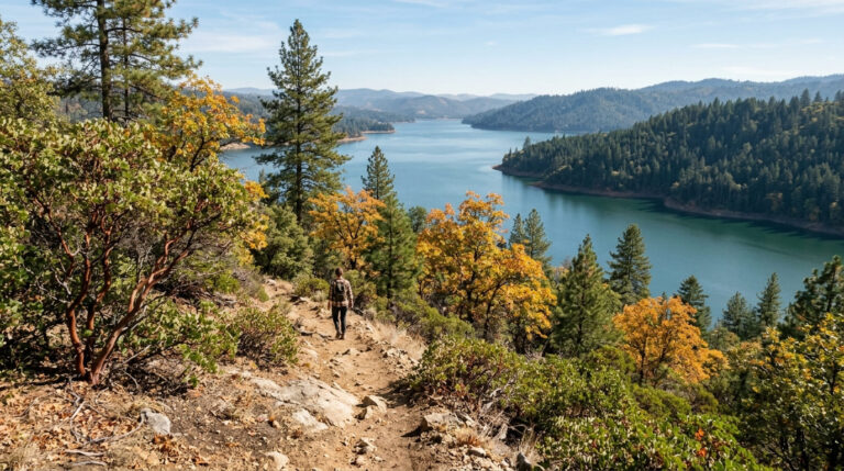
A free Forest Service trailhead at Stoney Point, a peninsula jutting into the lake, featuring the roughly 4-mile Trinity Lakeshore Trail loop.
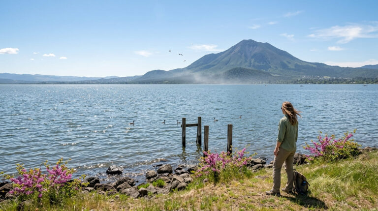
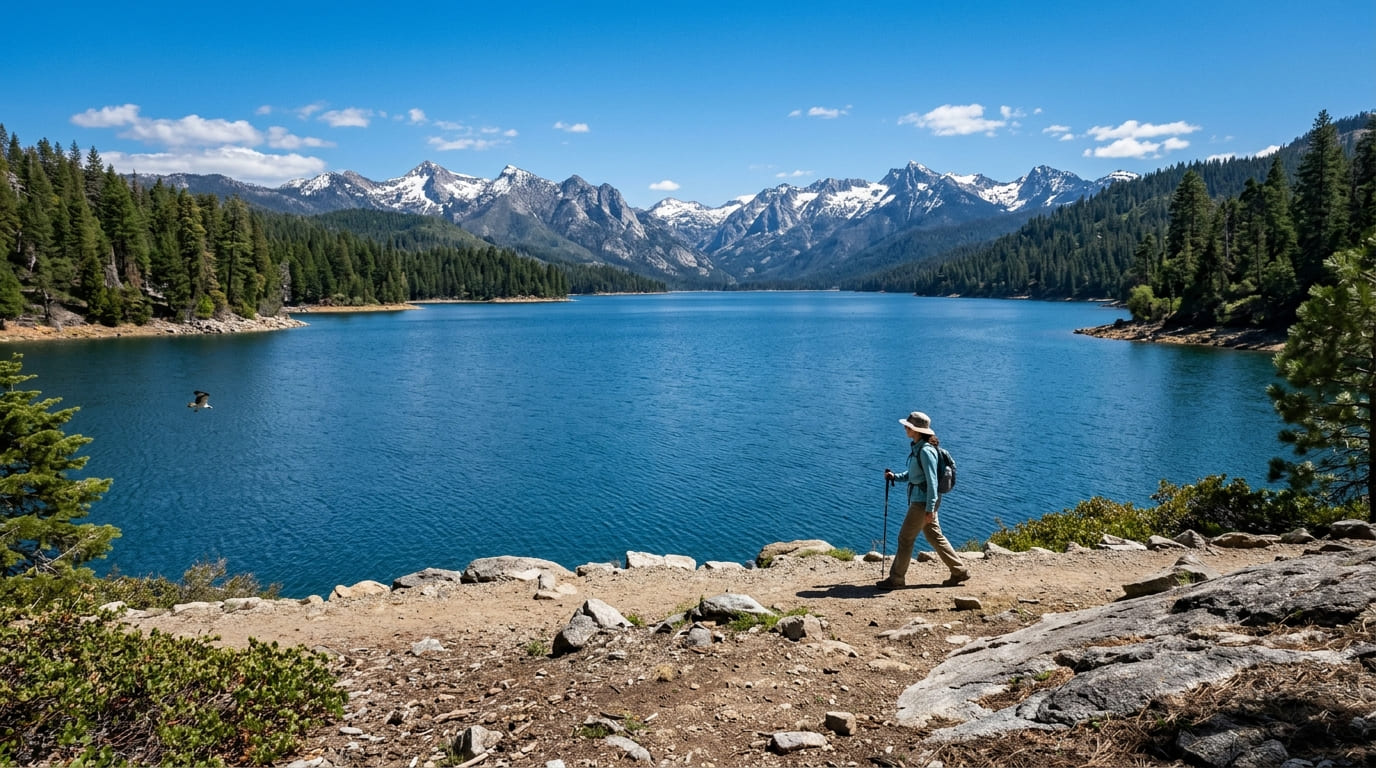
What you’ll see: sweeping views over one of California’s largest reservoirs
Trinity Lake holds 145 miles of shoreline, 17,000 surface acres, and 2.5 million acre-feet of water when full; Trinity Dam itself ranks among the highest earth-filled dams anywhere in the world. Distant peaks of the Trinity Alps Wilderness, covered in its own dedicated guide, are visible across the water on clear days.
Best time to hike Trinity Lake Shoreline: spring for fullest views, summer for boating and swimming
Spring typically shows the reservoir closest to full capacity, while summer brings the most active boating and swimming crowds, two different reasons to visit depending on what you’re after.
Lewiston Lake Trail
Trailhead access and parking near Lewiston Lake, below Trinity Dam
A free trailhead at this smaller regulating reservoir directly below Trinity Dam, distinct from the much larger Trinity Lake upstream, both in scale and character.
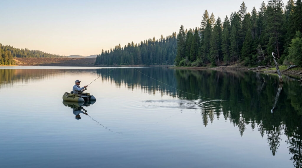
What you’ll see: a calm, no-wake lake popular for fly fishing
Lewiston Lake runs about 5 miles long and 750 acres, with a 10-mph speed limit for motorized boats that keeps the water notably calmer than Trinity Lake, making it a draw for fly fishing, float-tube anglers, and paddlers alike. Rainbow, brown, and brook trout are all common here.
Best time to hike Lewiston Lake: spring and fall for the best fishing conditions
Spring and fall bring the most productive fishing conditions on this lake, a distinct seasonal rationale from the boating-focused timing that drives visits to Trinity Lake.
Ruth Lake Trail
Trailhead access and parking at Ruth Lake, southern Trinity County
A free trailhead in the county’s more remote southern reaches, roughly an hour’s drive south of Weaverville via winding mountain roads, making it the most secluded reservoir covered in this guide, and the one most out-of-county visitors have never heard of.
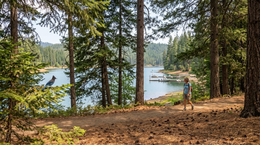
What you’ll see: a forested reservoir popular with local anglers and boaters
Ruth Lake is the only reservoir on California’s Mad River, named for early settler Ruth McKnight, formed by the 1962 construction of R.W. Matthews Dam, built to supply domestic and industrial water to Arcata, Eureka, and other Humboldt Bay communities rather than Trinity County itself. Surrounded by dense conifer forest, it remains a favorite among area residents rather than a major out-of-county tourist draw, with a small resort and marina supporting local boaters and anglers.
Best time to hike Ruth Lake: summer for boating and swimming
Summer is this lake’s clear high season for water recreation, drawing local families and boaters more than distant visitors, with a quieter, more community-feeling atmosphere than the bigger reservoirs covered elsewhere in this guide.
Mary Smith Trail (Lewiston Lake)
Trailhead access and parking near Lewiston Lake’s southern shore
A free trailhead near Mary Smith Campground, on Lewiston Lake’s quieter southern shore, part of a connected shoreline trail system (including the South Lakeshore and Baker Gulch Trails) that links Mary Smith Campground to Cooper Gulch Campground further north, running about 2.5 miles.
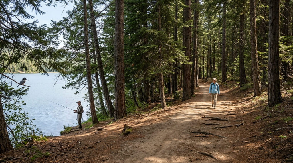
What you’ll see: a shaded lakeside walk with consistent fishing access
A more intimate, shaded lake experience than the open Trinity Lake shoreline covered earlier in this guide, with reliable bank-fishing access along the way.
Best time to hike Mary Smith Trail: a reliable any-season shoreline walk
Consistent shade and calm water keep this trail comfortable and accessible across virtually the entire year.
Bowerman Ridge Trail (Trinity Lake)
Trailhead access and parking near Trinity Center, Trinity Lake
A free Forest Service trailhead near Trinity Center, on Trinity Lake’s northern shore, offering a different, elevated perspective from the lakeside Stoney Point trail covered earlier in this guide, and a good stop if you’re already exploring the lake’s north end.
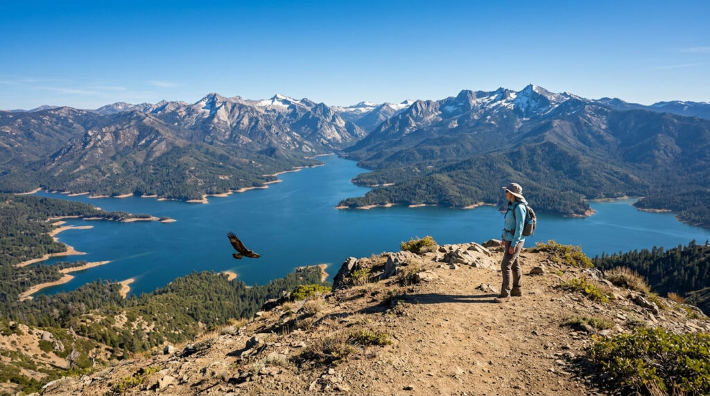
What you’ll see: an elevated ridge view over the entire Trinity Lake basin
This closes out the guide with the widest single view of any trail in Trinity County’s non-wilderness lake system, a ridge-top vantage overlooking the full sweep of the reservoir below, with the distant Trinity Alps forming a dramatic backdrop on clear days. It’s a meaningfully different experience from any of the shoreline-level trails covered elsewhere in this guide, trading close-up water access for a big-picture overview.
Best time to hike Bowerman Ridge: clear days for the farthest views, cooler months for comfort
This trail’s largely exposed terrain rewards both visibility-focused timing (clear days) and comfort-focused timing (cooler months), two considerations worth weighing together rather than separately, since a clear but scorching summer afternoon can undercut the payoff as much as a hazy one.
The trail I’d start with
If you’ve only got one stop, make it Trinity Lake Shoreline at Stoney Point: it’s the trail that best captures the sheer scale this county’s namesake reservoir is known for. Lewiston Lake and Mary Smith Trail both reward anglers specifically, and Ruth Lake is worth the extra drive if seclusion matters more to you than convenience. Bowerman Ridge is the pick once you want the big-picture view rather than another shoreline walk.
For the wilderness terrain just beyond these accessible lakes, my Trinity Alps Wilderness guide covers the granite peaks and glacial lakes this guide deliberately sits apart from, and my Trinity County hiking guide rounds out everything else the county offers.
Frequently asked questions
Is Trinity Lake one of California’s largest reservoirs?
Yes; with 145 miles of shoreline and 17,000 surface acres when full, it’s among the state’s largest, and Trinity Dam itself ranks among the highest earth-filled dams in the world.
Is Lewiston Lake a no-wake lake?
Effectively, yes; a 10-mph speed limit for motorized boats keeps the water notably calmer than Trinity Lake, making it a favorite for fly fishing and float-tube anglers.
Is Ruth Lake remote?
Yes, it sits in Trinity County’s more remote southern reaches, and its water primarily supplies Humboldt Bay-area communities rather than serving as a major regional tourist draw.
Is Mary Smith Trail good for bank fishing?
Yes; it offers consistent, easy fishing access along Lewiston Lake’s shaded southern shoreline, distinct from the more open water access elsewhere on the lake.
Can you see the whole Trinity Lake basin from Bowerman Ridge?
Yes, on clear days; this ridge-top trail delivers the widest single view of any trail in this guide, taking in the full sweep of the reservoir below.
Which Trinity County lake is best for fishing?
Lewiston Lake, by most local accounts; its calm, no-wake conditions and abundant rainbow, brown, and brook trout make it the clear favorite for anglers, with Mary Smith Trail offering some of the best bank access on the same lake.