Hedge Creek & McCloud Falls Hiking Guide
There is a waterfall in Dunsmuir that you can practically see from the freeway exit, and most drivers still roll right past it. Hedge Creek Falls, California, drops into a wooded ravine beside Interstate 5, a short walk from a small trailhead park, and the trail passes straight through a cave behind the water. Soon you are back at the car, with Mount Shasta still fresh in your mind, wondering why it took so long to stop.
Disclosure: Please note that some of the links below are affiliate links and at no additional cost to you, I may earn a commission. Know that I only recommend hiking gear I personally stand behind; when you use my affiliate links, it helps me run this blog and keep all of this content free of charge for readers (like you).
That detour is the first half of this guide. The second half sits a short drive east on Highway 89, where the McCloud River drops over three separate waterfalls in the Shasta-Trinity National Forest near the town of McCloud. An easy river trail connects them. Hedge Creek Falls and McCloud Falls make one of the best waterfall days in far Northern California, and this guide covers directions, trail distances, swimming and camping notes, winter closures, and the latest on the long-promised trail to Mossbrae Falls. For more falls across the state, see our list of the best waterfall hikes in California.
Hedge Creek and McCloud Falls at a Glance
Hedge Creek Falls, CA, and McCloud Falls both sit in Siskiyou County hiking-trail country, and the numbers below come from the City of Dunsmuir, the Forest Service, and local trail groups.
| Detail | Hedge Creek Falls | McCloud Falls |
|---|---|---|
| Nearest town | Dunsmuir | McCloud |
| Access | I-5 exit 732 (Dunsmuir Avenue / Siskiyou Avenue) | Highway 89, about 5 miles east of McCloud |
| Trail | Out and back; falls within a quarter mile, river overlook about 0.4 mile one way | McCloud River Trail: Lower to Middle Falls 1.3 miles, Middle to Upper Falls about 0.5 mile |
| Difficulty | Easy, with a few switchbacks | Easy overall; one short, steep switchback and stair section at Middle Falls |
| Main attraction | Walking behind the falls | Three waterfalls, a plunge pool at Lower Falls |
| Managed by | City of Dunsmuir | Shasta-Trinity National Forest |
| Season | Year-round; ice is possible in winter | Access roads close in winter; Fowlers Campground typically open May through October |
| Fees | None listed (confirm before you go) | None listed (confirm before you go) |
Hedge Creek Falls, California: The Waterfall Beside the Freeway
Where Hedge Creek Falls, Dunsmuir, CA, Is and How to Find the Trailhead
Hedge Creek Falls, Dunsmuir, CA, sits about a mile north of central Dunsmuir. Take I-5 exit 732 (Dunsmuir Avenue / Siskiyou Avenue) and follow the signs to the small trailhead park beside the road. The trailhead has parking, a picnic area, a gazebo, and a drinking-water fountain that runs only from spring through fall, when freezing is no longer a risk. The Mount Shasta Trail Association lists the trail as year-round, with ice possible in winter.
Walking the Hedge Creek Falls Trail
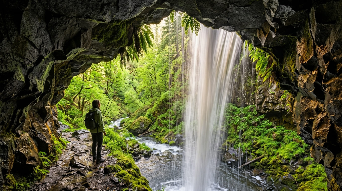
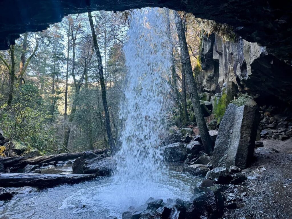
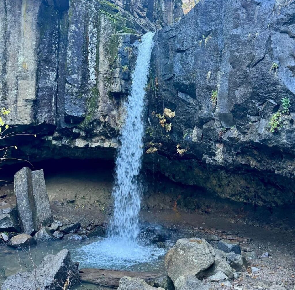
The trail drops through a few gentle switchbacks to creek level, and the sound of the falls reaches you before the view does. The falls are about a quarter mile or less from the trailhead. Hedge Creek pours over a basalt lip and into a small pool, and the path continues beneath the overhang, so you walk behind the curtain of water in the cave. Local lore says the outlaw Black Bart used that cave as a hideout after stagecoach robberies, a story the Mount Shasta Trail Association repeats on its trail page.
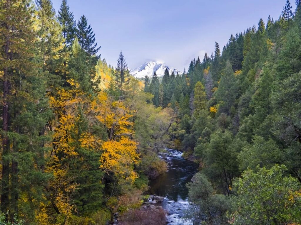
Beyond the falls, the trail follows Hedge Creek downstream past small cascades and ends at a viewing platform above the point where the creek meets the Sacramento River. On a clear day, the view runs upriver toward Mount Shasta. The round trip is short enough for a leg-stretch on a long drive, and it suits kids who can handle a narrow, uneven trail. For other short walks that work with children, see our guide to family-friendly hikes in California.
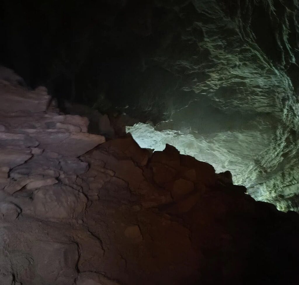
Two cautions. The Dunsmuir Chamber of Commerce trail sheet warns about poison oak along the route. And although you may see people wading the Sacramento River below the overlook, that crossing leads to an illegal path along the railroad tracks, where hikers risk injury or a citation.
How the Falls and the Cave Formed
Hedge Creek Falls sits at the southernmost tip of an ancient lava flow from Mount Shasta that predates the Pleistocene. Freezing and thawing water in the cracks of the basalt has sheared the face into the clean vertical lip you see today. The cave behind the falls is not a product of splashing water. Caves as it forms naturally in thick lava flows, and this one dates to the original flow. The water itself comes from a large volcanic aquifer, not from Mount Shasta’s glaciers, which helps explain why the falls keep running year-round.
What About Mossbrae Falls?
Almost every Hedge Creek visitor asks about the bigger waterfall downstream. Mossbrae Falls spills into the Sacramento River below Hedge Creek, but there is no legal public trail to it today. Reaching it means trespassing and walking beside active Union Pacific tracks, which is dangerous.
The City of Dunsmuir, which calls itself California’s City of Waterfalls, has a plan to fix that. According to the City of Dunsmuir’s Mossbrae Falls Trail page, the Hedge Creek Falls trail would be extended another 0.6 miles, to about one mile total, with a pedestrian bridge over the Sacramento River and a raised trail along its bank. Union Pacific has agreed to grant the right of way, and the city says about $3 million in funding is still needed. Local news in mid-2026 reported a newly signed agreement, so the project is moving, but the trail does not exist yet. Until it opens, treat Hedge Creek’s viewing platform as the end of the line.
McCloud Falls, CA: Three Waterfalls on the McCloud River
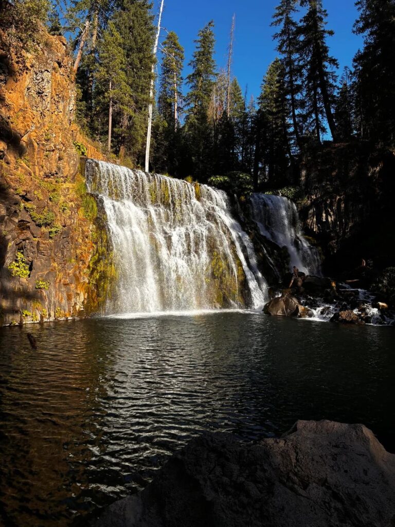
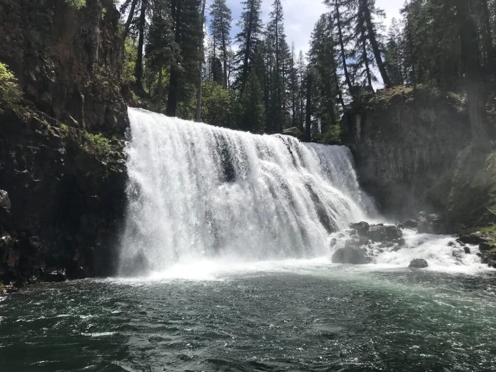
McCloud Falls, CA, is a trio: Lower, Middle, and Upper Falls on the upper McCloud River, east of the town of McCloud. The Forest Service describes the area as the Upper McCloud River Loop, and the Upper McCloud River Loop page is the best place to check current conditions. Where Hedge Creek Falls is a quick stop, McCloud Falls fills an afternoon.
Getting to McCloud Falls, McCloud, CA
McCloud Falls, McCloud, CA 96057, lies about 5 miles southeast of town on Highway 89. From the Hedge Creek trailhead, drive north on I-5 to exit 736 (Highway 89 to McCloud), a few miles up the freeway, then head east on Highway 89 through the town of McCloud. Roughly 5 miles past town, look for the Forest Service sign for Fowlers and Lower Falls, turn right onto the McCloud River Loop Road, and stay right at the fork to reach the Lower Falls day-use area. In all, expect about 20 miles of driving between the two waterfalls.
Lower Falls: The Plunge Pool
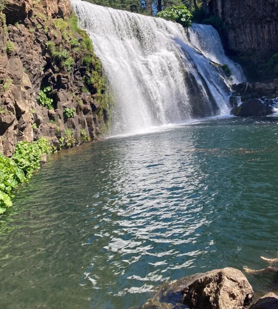
The Lower Falls day-use area has restrooms, water spigots, picnic tables, barbecue grills, and bear-proof trash bins, and the McCloud River Trail starts at the staircase beside the Lower Falls overlook. The falls drop about 15 feet into a pool that the Forest Service says stays in the low 50s Fahrenheit, which is cold enough to feel bracing. The California Department of Fish and Wildlife stocks this stretch during fishing season, so check current regulations if you plan to cast a line.
Middle Falls: The Showpiece
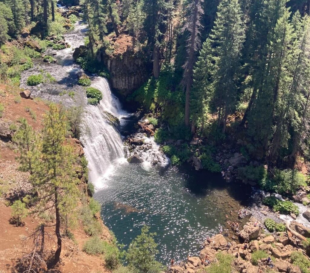
Middle Falls is the one most visitors come for. The Forest Service calls it the most picturesque of the three, more than 50 feet high and 100 feet across. It sits about 1.3 miles upstream from Lower Falls, and the walk between them is flat and easy, passing Fowlers Campground along the river. Near Middle Falls, a short, steep section of switchbacks and stairs climbs to the overlook and the continuation of the trail. That is the only part of the route the Forest Service flags as difficult for some hikers.
Upper Falls: The Quiet One
Upper Falls lies about half a mile beyond Middle Falls. The viewing platform stands roughly 90 feet above the river, and from it you can watch the water shoot through a natural rock channel into the pool below. The Forest Service says the climb down to the water is steep and very difficult and does not recommend it, so enjoy this one from the platform.
How Far Is the Hike?
Lower Falls to Upper Falls is about 1.8 miles one way, or roughly 3.6 miles round trip. If that sounds like too much, the paved McCloud River Loop Road reaches the Middle Falls and Upper Falls parking lots and overlooks, so you can drive to each view. One option is leaving one car at Upper Falls and another at Lower Falls so you only walk downhill one way. The McCloud River Trail itself continues about 13 more miles to Algoma Campground, passing Lakin Dam, Camp 4, and the Cattle Camp Swimming Hole. Overnight backpacking and dispersed camping are not allowed on the stretch between Lower Falls and Cattle Camp.
Swimming and Water Safety
Lower Falls is the easiest place to swim, and the Forest Service also mentions swimming at Middle Falls, though it advises against the steep descent at Upper Falls. High runoff can make the river fast and cold, so wade only where the water is calm, stay out of strong current, and keep children close. Our guide to water hazards on California trails covers river safety, and if the idea of hiking to a swimming spot appeals, browse our swimhiking trails in California.
Camping at Fowlers Campground
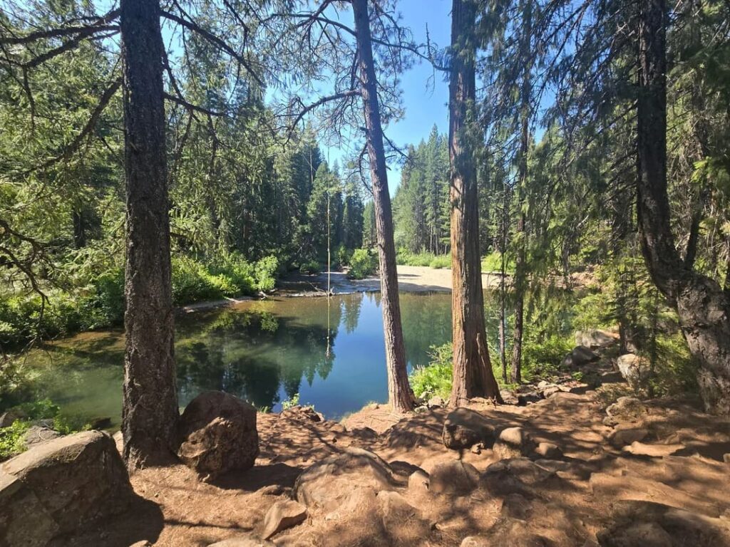
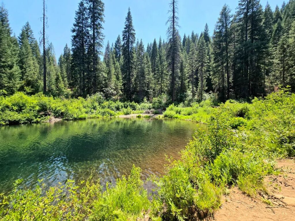
Fowlers Campground sits beside the McCloud River at about 3,300 feet. The Forest Service lists 39 sites with tables, fire rings, water, bear lockers, and toilets, of which 31 are reservation-only and 8 are first-come, first-served, with bookings through Recreation.gov. Developed campgrounds in the area begin opening around May 15. A Forest Order currently restricts dispersed camping along the McCloud River Loop. For options across the region, see our guide to campgrounds near California’s top hiking trails.
Seasons and Winter Closures
In 2026, the Forest Service closed the roads to Lower Falls, Fowlers Campground, the Middle Falls overlook, and Upper Falls to vehicles from January 14 through May 1 to keep pedestrians safe and avoid stranded motorists. Dates shift from year to year, so check the Forest Service alerts page and our guide to how to check trail closures before you go before driving up in late winter or early spring.
Planning a Day That Combines Both Falls
Start at Hedge Creek in Dunsmuir, since it takes a short visit, then drive north on I-5 to exit 736 and east on Highway 89 for McCloud Falls. That order saves the longer walk for the part of the day when you have the most time. Pack a swimsuit and towel for Lower Falls, water and snacks, and layers, since the river corridor stays cool even on warm days.
Nearby Stops
Castle Crags State Park is a short drive south on I-5, and our Castle Crags State Park hiking guide covers its granite spires and the Crags Trail. For more hiking trails near Mount Shasta, start with that hub, and for more falls, browse our waterfall hikes near Mount Shasta. If you want a quiet lake after the waterfalls, our guide to alpine lake hikes in Siskiyou County points the way. Highway 89 also doubles as the Volcanic Legacy Scenic Byway, which continues beyond McCloud toward McArthur-Burney Falls Memorial State Park and Lassen Volcanic National Park.
The Bottom Line
Hedge Creek Falls is a quick, memorable stretch of the legs, and McCloud Falls is the longer, wetter reward. The trade-offs are plain: the Hedge Creek trail is narrow and can be icy in winter, Mossbrae Falls is still off limits, and McCloud’s access roads shut in winter, so spring flows and summer swims are the sweet spot. Pair the two on one day, bring a towel, and the freeway exit you almost skipped becomes the highlight of the drive.
Frequently Asked Questions
How long is the Hedge Creek Falls trail?
The falls sit within about a quarter mile of the trailhead, and the river overlook is about 0.4 miles one way. Sources vary, so plan on a short walk of well under a mile each way.
Can you walk behind Hedge Creek Falls?
Yes. The trail passes through a cave behind the falls, so the water drops in front of you as you pass.
Where is Hedge Creek Falls in Dunsmuir, CA?
The trailhead is a small park beside I-5 exit 732 (Dunsmuir Avenue / Siskiyou Avenue), at the north edge of Dunsmuir.
Can you hike from Hedge Creek Falls to Mossbrae Falls?
Not legally. The only current route runs along active railroad tracks and across private land. The City of Dunsmuir plans a legal trail from the Hedge Creek viewing platform, but funding is still needed.
How many waterfalls are at McCloud Falls?
Three: Lower, Middle, and Upper Falls, roughly 1.8 miles apart along the McCloud River Trail.
Can you swim at McCloud Falls?
Yes, at Lower Falls and Middle Falls, where the Forest Service mentions swimming. The Lower Falls pool stays in the low 50s Fahrenheit, and the Forest Service advises against the steep descent at Upper Falls. Avoid high, fast water.
Is McCloud Falls open in winter?
Access is limited. The roads to the falls were closed to vehicles from January 14 to May 1 in 2026, so check the Forest Service alerts before you go.
Do I need a permit or pay a fee?
No entrance fee is listed for either site, but fees and rules can change, so confirm with the City of Dunsmuir and the McCloud Ranger District before you travel.