Best Hiking Trails in Siskiyou County, California
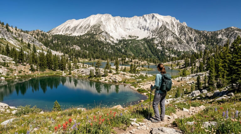
Siskiyou County is California’s fifth-largest county by area, at 6,347 square miles, and home to fewer than 45,000 people, which means its hiking is defined by remoteness rather than trailhead crowds. The Klamath Mountains here hold the highest concentration of conifer species found in any temperate forest on Earth, and the county’s wilderness areas rank among the least-visited, most intact backcountry left in California. This is a county built for hikers who want distance from other hikers as much as distance covered on foot. Finding the premier Hiking Trails in Siskiyou County is the ultimate goal for backpackers seeking wilderness and solitude.
Disclosure: Please note that some of the links below are affiliate links and at no additional cost to you, I may earn a commission. Know that I only recommend hiking gear I personally stand behind; when you use my affiliate links, it helps me run this blog and keep all of this content free of charge for readers (like you).
Key takeaways
- Siskiyou County has four hiking zones: the Mount Shasta/McCloud area, Marble Mountain Wilderness, the Klamath River Canyon, and the Yreka/Scott Valley region.
- Castle Crags State Park itself sits just across the county line in Shasta County, though the surrounding Castle Crags Wilderness spans both counties, worth knowing since most guides (this one included) treat the crags as a package regardless of the exact boundary.
- The Klamath Mountains’ “Miracle Mile,” near Little Duck Lake in the Russian Wilderness, holds 17 to 18 conifer species within a single square mile, the richest concentration of conifers found in any temperate forest region studied.
- Marble Mountain Wilderness, at 241,744 acres, requires no permit for day hiking or backpacking, a rarity for a wilderness area this size and this remote.
- McCloud River Falls packs three distinct waterfalls onto a single 4.6-mile trail, with Middle Falls delivering the most dramatic wide curtain of the three.
Related
- Hedge Creek & McCloud Falls Hiking Guide
- 5 Best Hiking Trails in the Klamath Mountains, Siskiyou County
- 5 Best Alpine Lake Hiking Trails in Siskiyou County
Why Siskiyou County is California’s most remote and wild hiking county
Few California counties this size see this few visitors. Siskiyou’s combination of scale, low population, and intact wilderness, Marble Mountain, Russian Wilderness, and a share of the Trinity Alps, gives it a backcountry character that busier Sierra destinations lost decades ago.
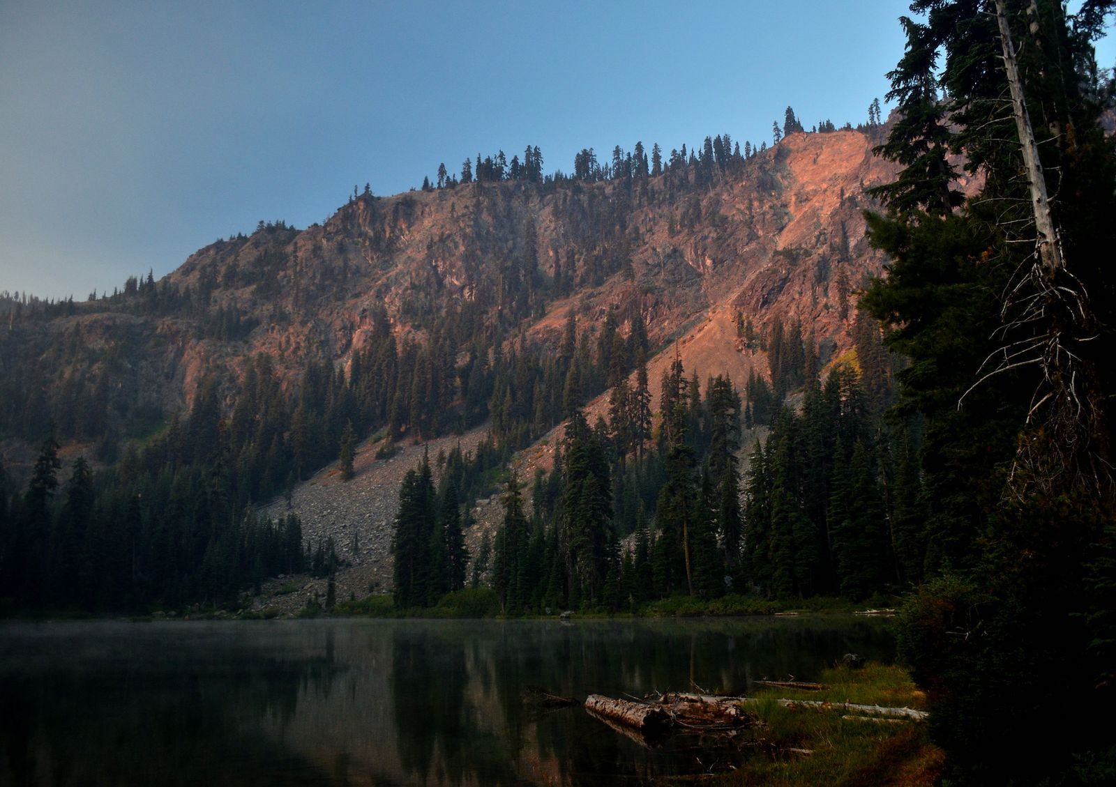
Siskiyou County’s four hiking zones
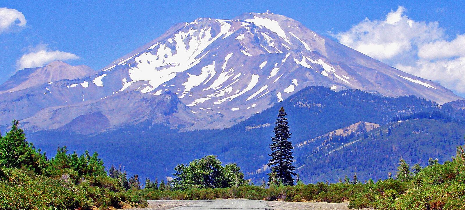
The Mount Shasta and McCloud area holds Sisson Meadow, McCloud Falls, and a chance to explore Castle Crags State Park and its granite spires just across the county line, forming the county’s most accessible trails and the ones most first-time visitors see.
Marble Mountain Wilderness, reached through Scott Valley towns like Etna and Fort Jones, protects marble outcroppings, alpine lake basins, and solitude on a scale most California hikers have never experienced.
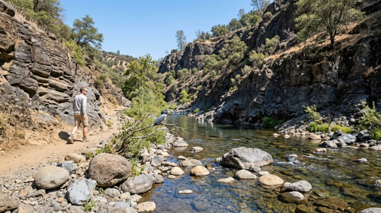
The Klamath River Canyon runs through Klamath National Forest with trails like Kelsey Creek threading the river corridor, an underused option for anyone wanting river-adjacent hiking away from the Sierra crowds. Yreka and Scott Valley round things out with the Ash Creek Wildlife Area and Scott River trails, a gentler, lower-elevation option than the mountain wilderness areas surrounding them.
Best hiking trails at Castle Crags, near Mount Shasta
Castle Crags’ granite spires rise dramatically along the I-5 corridor south of Mount Shasta, a formation different from the volcanic rock dominating most of this region.
Castle Crags State Park itself is technically located in Shasta County, a few miles south of the Siskiyou County line, though the surrounding Castle Crags Wilderness Area extends across both counties. Most regional guides, including this one, cover the crags alongside Siskiyou’s other destinations simply because they sit on the direct route between the two counties and share the same access corridor.
Castle Crags Trail to Crags Dome Junction: the region’s best granite spire hike
At 5.5 miles round trip with about 2,200 ft of gain, this trail climbs from Vista Point up steep, exposed switchbacks to Crags Dome Junction, delivering close-up views of granite spires reaching over 6,000 ft, remnants of a granitic pluton that intruded roughly 170 million years ago during the Jurassic period, long before the volcanic activity that built Mount Shasta itself.
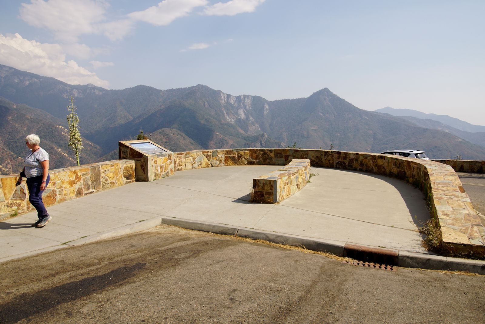
The trail intersects the Pacific Crest Trail at the junction, and Mount Shasta’s snow-capped bulk fills the view behind you the entire climb. May through November is the reliable season, and day use runs $10.
Vista Point Trail: the best moderate viewpoint hike at Castle Crags
At 2.6 miles round trip with about 1,000 ft of gain from the campground, Vista Point is the first major viewpoint on the longer Castle Crags Trail and where most visitors choose to stop; Mount Shasta and the Sacramento River canyon both spread out below. It’s a solid intermediate option for anyone not ready for the steeper push to Crags Dome Junction, at the same $10 day-use fee.
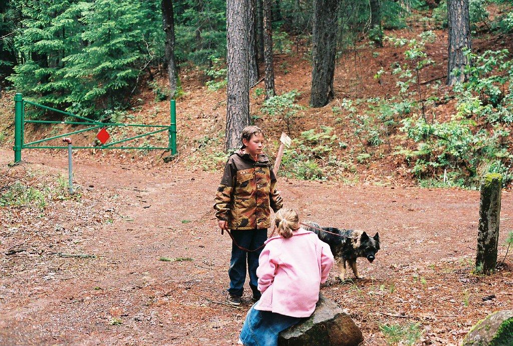
Best hiking trails in Marble Mountain Wilderness, Siskiyou County
At 241,744 acres within Klamath National Forest, Marble Mountain Wilderness takes its name from the distinctive white marble and limestone outcroppings scattered among its granite and metamorphic peaks, a different palette of rock than the granite domes further south in the Sierra.
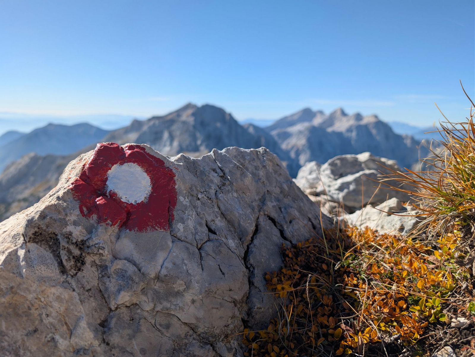
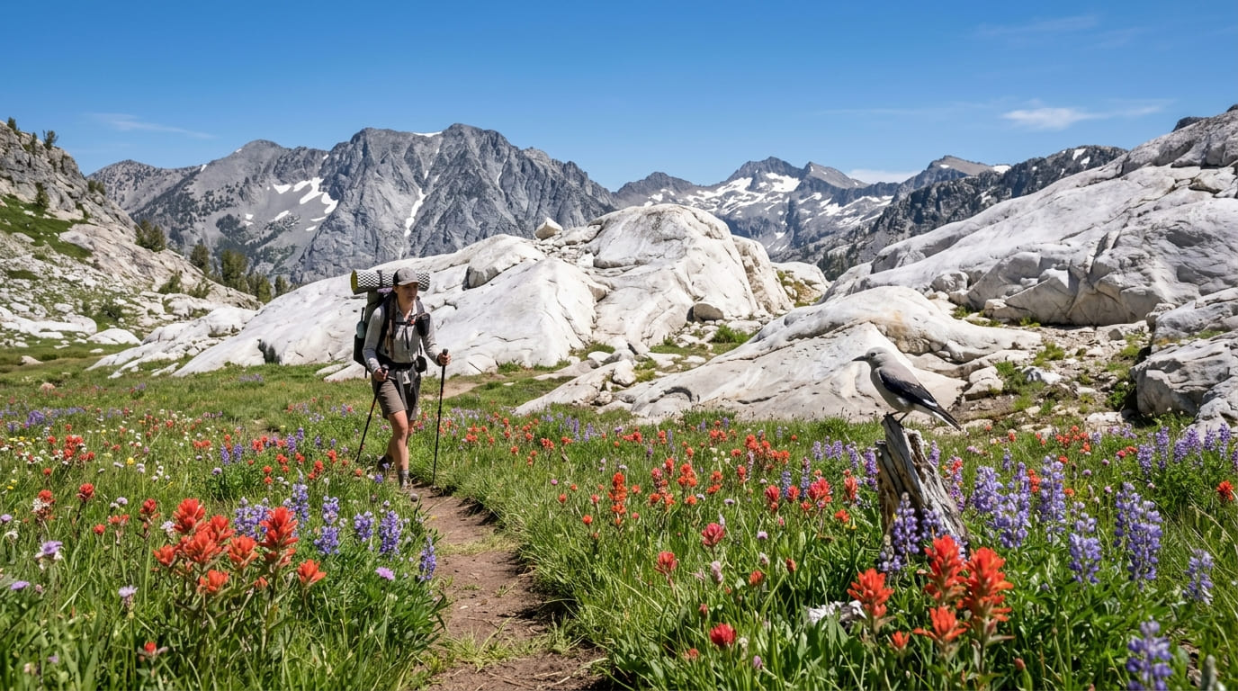
Boulder Peak, the wilderness’s highest point at 8,299 ft, anchors a landscape holding 89 lakes and 32 miles of the Pacific Crest Trail, with more than 7,000 ft of vertical relief creating an unusually wide range of ecosystems packed into one wilderness area.
Lovers Camp to Marble Valley: Marble Mountain’s best day hike or overnight
This 9-mile round trip with about 2,200 ft of gain starts at the Lovers Camp trailhead north of Etna in Scott Valley, the wilderness’s most popular access point, which still sees a fraction of the traffic comparable Sierra trailheads do.
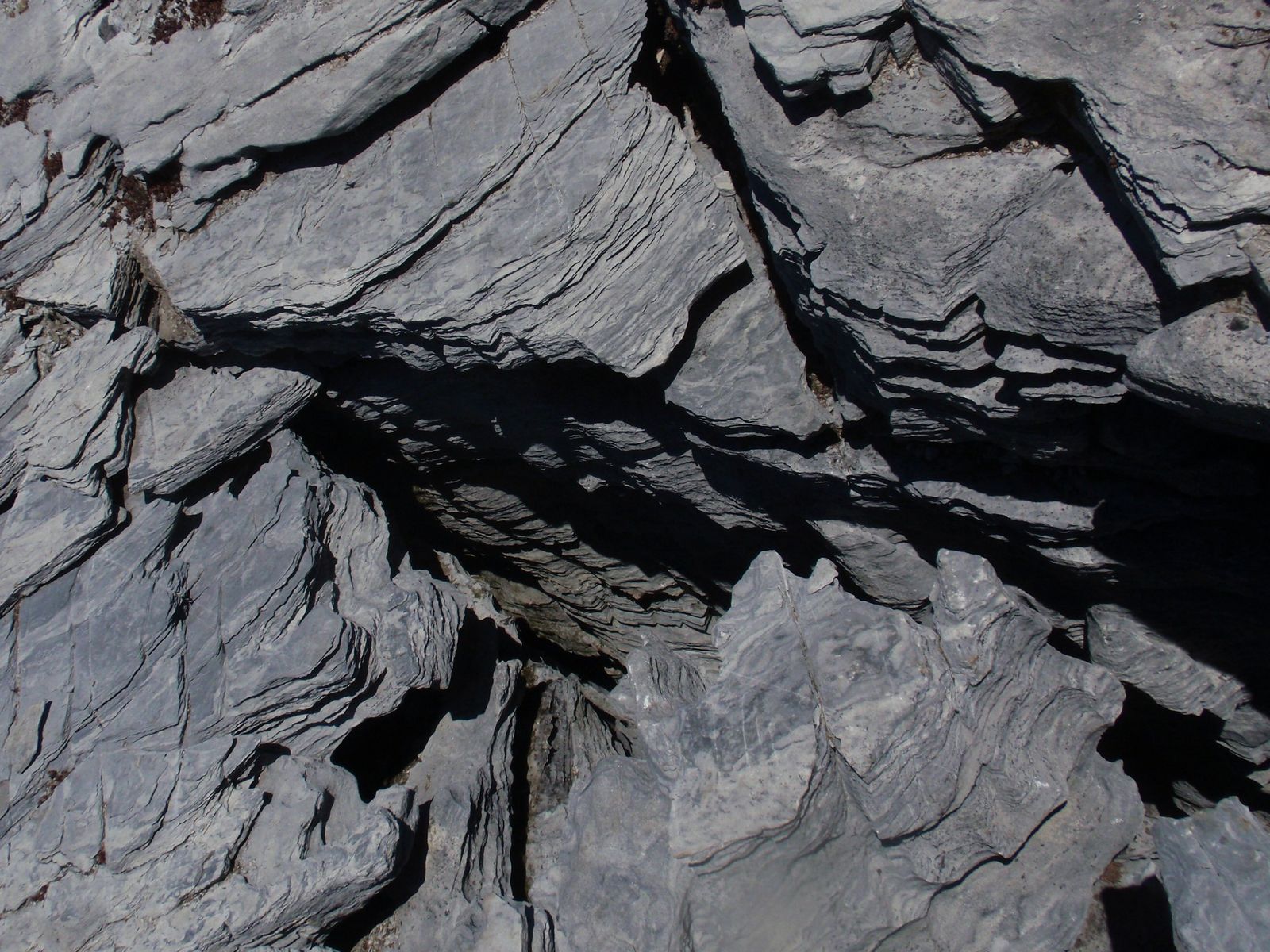
Marble Valley itself delivers striking white marble outcroppings alongside meadow wildflowers, and Marble Mountain’s 6,880-ft summit is reachable with about 2 additional miles for anyone continuing past the valley.
July through October is the reliable season; no permit is required for day hiking or overnight camping, and self-issue camping is available right at Marble Valley for anyone extending the trip.
Best hiking trails near McCloud and Mount Shasta, Siskiyou County
The town of McCloud, on Mount Shasta’s south side, anchors one of the more rewarding easy hiking trails in the county.
McCloud River Falls Trail: Siskiyou County’s best three-waterfall day hike
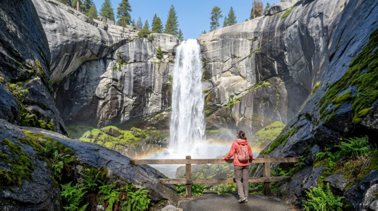
This 4.6-mile round trip in Shasta-Trinity National Forest strings together three distinct waterfalls: Lower Falls, the most accessible and home to a popular swimming hole; Middle Falls, the most dramatic with a wide curtain of falling water; and Upper Falls, the most remote of the three and only reached by hiking the full trail.
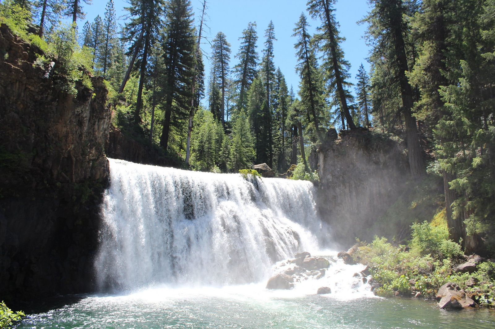
It’s free with no permit required, and May through July, during peak snowmelt, is when all three run at their fullest.
Sisson Meadow, a short flat boardwalk trail right in Mount Shasta city with the mountain itself as a backdrop, makes a good add-on if you want an easy second stop the same day.
Best alpine lake hiking trails in Siskiyou County
Beyond Marble Mountain’s lake basins, a handful of shorter alpine lake hikes near Mount Shasta’s western slopes offer big scenery for relatively little effort.
Upper Gumboot Lake Trail: Mount Shasta area’s best easy alpine lake hike
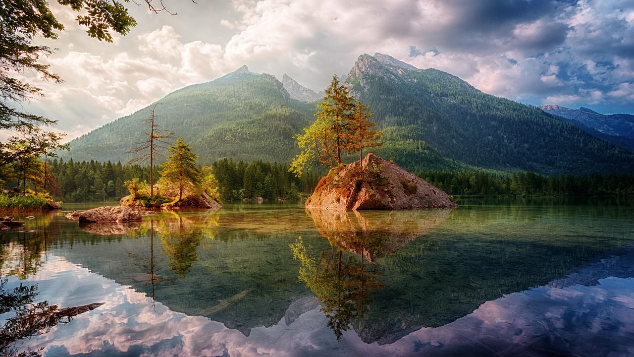
At just 2 miles round trip with about 300 ft of gain, this trail near Lake Siskiyou reaches a crystal-clear granite lake at 7,000 ft with panoramic views of Mount Shasta and Black Butte together.
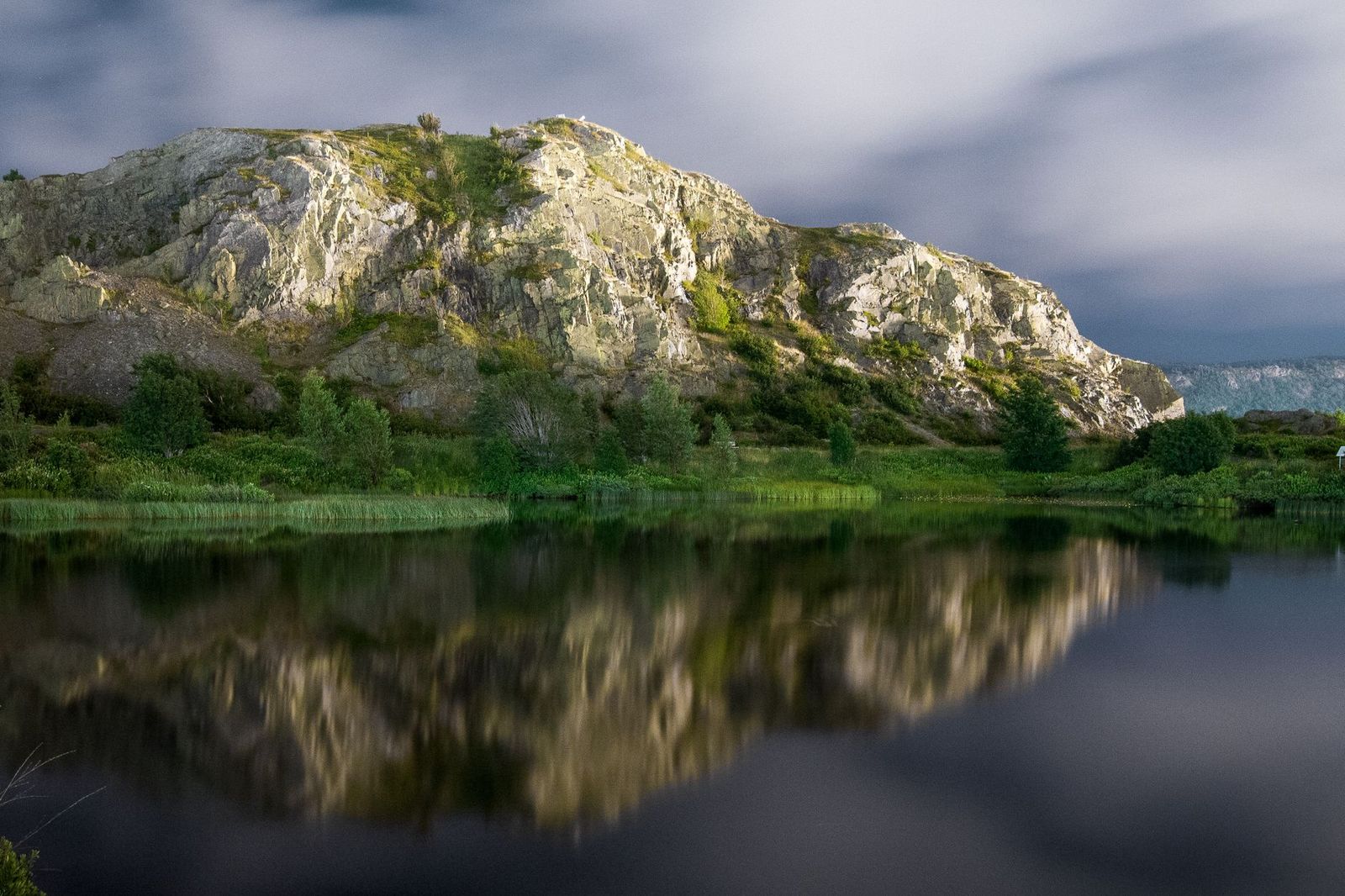
Swimming is a popular summer activity once the water warms enough; it’s free with no permit needed, and the access road off South Fork Road typically opens in June once snow clears. Cliff Lake in the Russian Wilderness, about 4 miles round trip, adds a slightly more remote option set in a quiet granite basin.
Siskiyou County rewards hikers willing to trade convenience for solitude; its trailheads see a fraction of the traffic that comparable Sierra Nevada destinations do, and the payoff is wilderness that still feels wild.
Start with McCloud Falls or Vista Point at Castle Crags if it’s your first visit, and build toward Marble Valley or the Russian Wilderness once you’re ready for the kind of remoteness most of California stopped offering decades ago. Few counties this large and this biologically significant remain this quiet, and that quiet is really the whole reason to make the drive north.
Frequently asked questions about hiking trails in Siskiyou County
What are the best hiking trails in Siskiyou County, California?
Castle Crags Trail and Vista Point deliver the county’s most dramatic granite scenery, Marble Valley in the Marble Mountain Wilderness is the standout backcountry hike, and McCloud River Falls is the best easy three-waterfall day trip. Each represents a different side of the county’s terrain.
How hard is the Castle Crags trail in Siskiyou County?
The full trail to Crags Dome Junction is strenuous, 5.5 miles round trip with about 2,200 ft of gain on steep, exposed switchbacks. The shorter Vista Point Trail (2.6 miles round trip) offers a moderate alternative with much of the same Mount Shasta views for less effort.
What wilderness areas can I hike in Siskiyou County?
Marble Mountain Wilderness is the largest and most accessible, with no permit required for day hiking or overnight camping. The Russian Wilderness and a share of the Trinity Alps Wilderness also fall within the county, both known for exceptional conifer diversity and backcountry solitude.
How do I get to Marble Mountain Wilderness in Siskiyou County?
The Lovers Camp trailhead, reached via Scott Valley north of the town of Etna, is the most popular access point, leading to Marble Valley in about 4.5 miles one-way. No permit is required for either day hiking or overnight trips.
Are there waterfall hikes near Mount Shasta in Siskiyou County?
Yes, the McCloud River Falls Trail is the standout, packing Lower, Middle, and Upper Falls near the town of McCloud into a single 4.6-mile round trip. Our waterfall hikes resource covers more details on this route. May through July, during peak snowmelt, is when all three waterfalls run at their most dramatic.
Is Siskiyou County good for hiking?
Yes, especially for hikers who prioritize solitude and wilderness over convenience, its trails see far fewer visitors than comparable destinations in the Sierra Nevada. The trade-off is longer drives between trailheads and fewer services once you’re off the main highway corridors.