Best Hiking Trails in Humboldt County, California
The hiking trails in Humboldt County hold two of California’s most extreme claims at once: the tallest trees on Earth and the most remote stretch of coastline in the continental United States. Redwood National and State Parks share the northern part of the county.
Disclosure: Please note that some of the links below are affiliate links and at no additional cost to you, I may earn a commission. Know that I only recommend hiking gear I personally stand behind; when you use my affiliate links, it helps me run this blog and keep all of this content free of charge for readers (like you).
Humboldt Redwoods State Park protects the largest contiguous old-growth redwood forest left standing, and the Lost Coast Trail’s King Range is too rugged for a coastal highway to ever have been built through it. Few counties anywhere let a single trip span both record-setting trees and genuinely trackless wilderness within the same set of county lines.
Key takeaways:
- Humboldt County spans three hiking zones: Redwood National and State Parks in the north, Humboldt Redwoods State Park along the Avenue of the Giants, and the Lost Coast/King Range wilderness to the south.
- Lost Coast Trail permits are required year round for overnight use, not just a seasonal window, a common point of confusion, since a separate, seasonal group permit process exists alongside the standard individual permit.
- Tide timing is the trail’s real hazard, with three specific “impassable zones” that flood at different tide heights; check NOAA tide tables against the specific thresholds for each zone, not just a single rule of thumb.
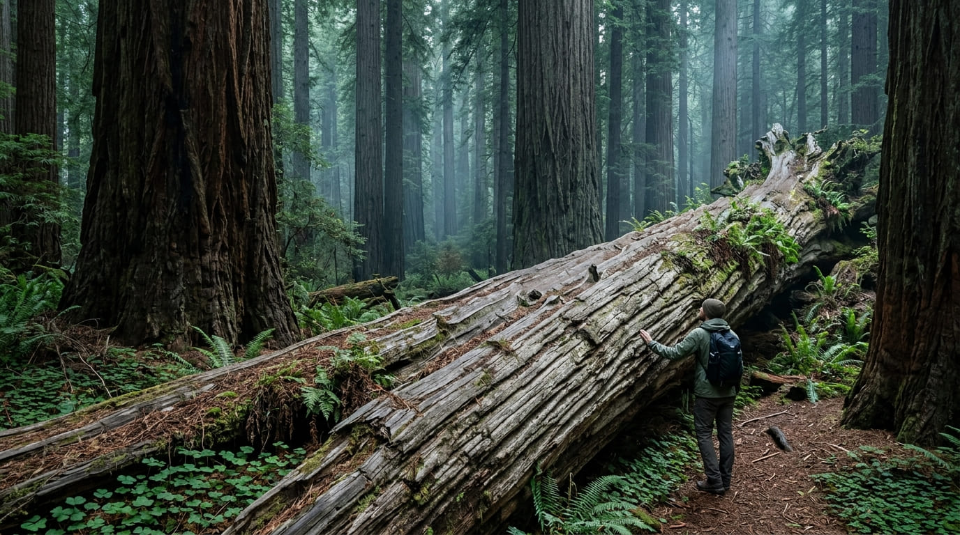
- The Dyerville Giant fell in 1991 and, at 362 ft, remains an impressive sight lying on the ground at Humboldt Redwoods’ Founders Grove.
- Fern Canyon and Tall Trees Grove, both technically within Humboldt County’s slice of Redwood National and State Parks, get the full trail-by-trail treatment in our dedicated Redwood National Park guide; this page covers the essentials and points you there for the rest.
Related
- Redwood National Park Map & Hiking Guide
- 5 Best Redwood Hiking Trails in Humboldt County
- 5 Best Coastal Hiking Trails in Humboldt County
Why Humboldt County is home to California’s best redwood and wilderness hiking
No other California county pairs record-setting trees with record-setting remoteness quite like this. Over 200 miles of trail run through Redwood National and State Parks alone, and that’s before counting Humboldt Redwoods’ old-growth groves or the Lost Coast’s 24-mile wilderness crossing.
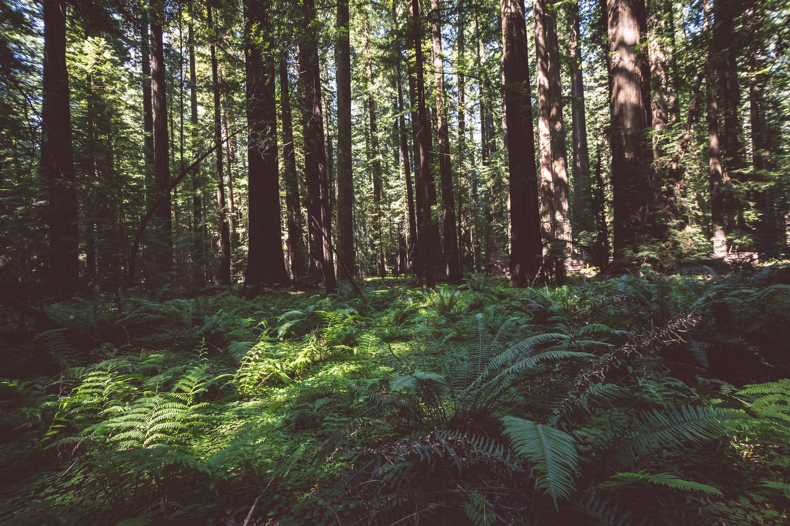
Humboldt County’s three hiking zones
Redwood National and State Parks cover the county’s northern section, including Prairie Creek Redwoods State Park, Fern Canyon, and the permit-required Tall Trees Grove, the same complex that continues north into Del Norte County, though the Humboldt slice holds its own distinct highlights.
Humboldt Redwoods State Park sits further south along the Avenue of the Giants, centered on Bull Creek Flats, the largest remaining stand of old-growth redwood anywhere, a title that puts it ahead of even the more famous groves to the north.
The Lost Coast and King Range National Conservation Area round out the county’s southern edge with California’s most remote coastal wilderness, along with Humboldt Bay and Trinidad’s more accessible day hiking options closer to Eureka, giving the county a genuine range from casual to expedition level within its own borders.
Best hiking trails in Redwood National and State Parks, Humboldt County
The Humboldt County portion of Redwood National and State Parks holds two of the complex’s signature hikes, both covered in full depth in our dedicated Redwood National Park guide.
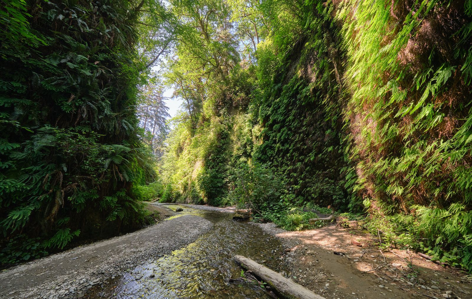
Fern Canyon at Prairie Creek: Humboldt County’s most spectacular trail
This 1 mile loop through Fern Canyon’s 50 ft, fern-covered walls is one of the most photographed trails in Northern California, and reaching it currently means either a seasonal vehicle reservation (May 15 to September 15) or a longer hike in via the James Irvine Trail. Current trail conditions have shifted the access details in the past year, so check the specifics in our full Redwood National Park guide before you plan around it.
Tall Trees Grove Trail: Humboldt’s permit required hike to record setting trees
Reaching Tall Trees Grove means a free permit (limited to 50 vehicles a day) that unlocks a 6-mile unpaved access road, followed by a separate roughly 4 mile round trip hike down into the grove and back up. It’s genuinely worth the planning; full permit logistics and current details on the grove’s record tree history are in our Redwood National Park guide.
Best hiking trails in Humboldt Redwoods State Park
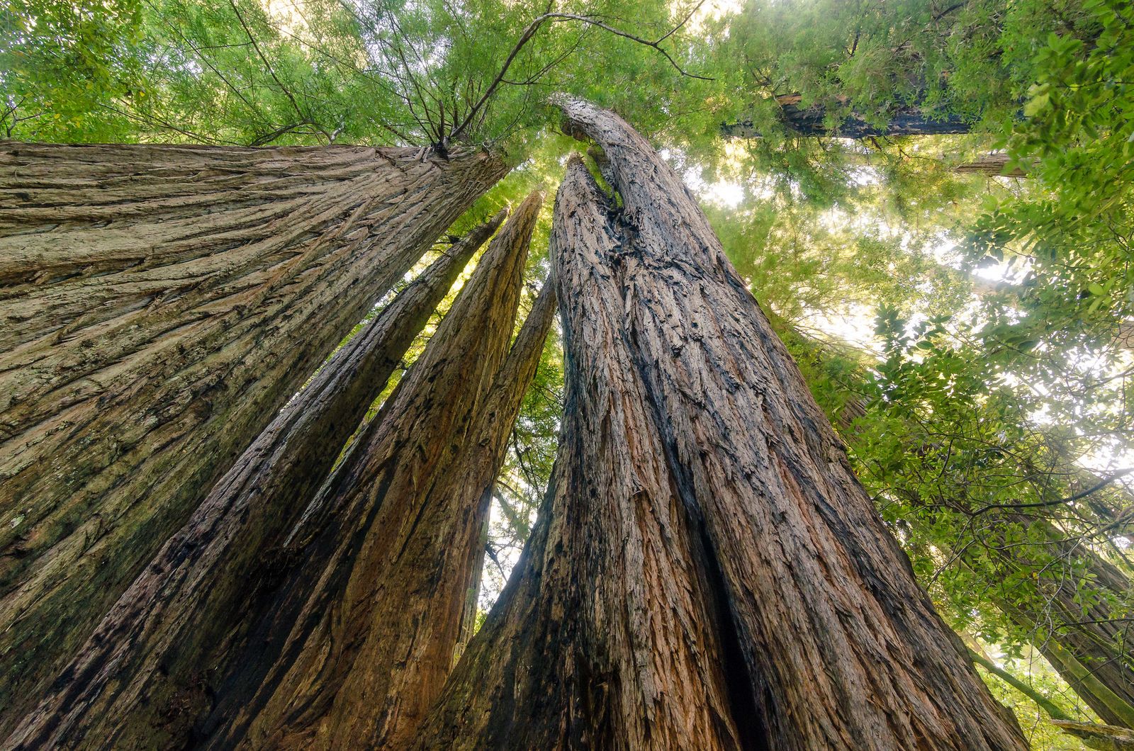
At 53,000 acres, Humboldt Redwoods State Park protects the largest contiguous old growth redwood forest on Earth, a distinct park from Redwood National and State Parks, despite the near identical name and neighboring location.
Founders Grove Nature Loop: Humboldt Redwoods’ best short old growth walk
This flat, roughly 1 mile loop off the Avenue of the Giants needs no reservation and delivers one of the most striking sights in the entire redwood corridor: the Dyerville Giant, a roughly 1,600 year old, 362 ft redwood that toppled in 1991 and remains genuinely massive lying on the forest floor.
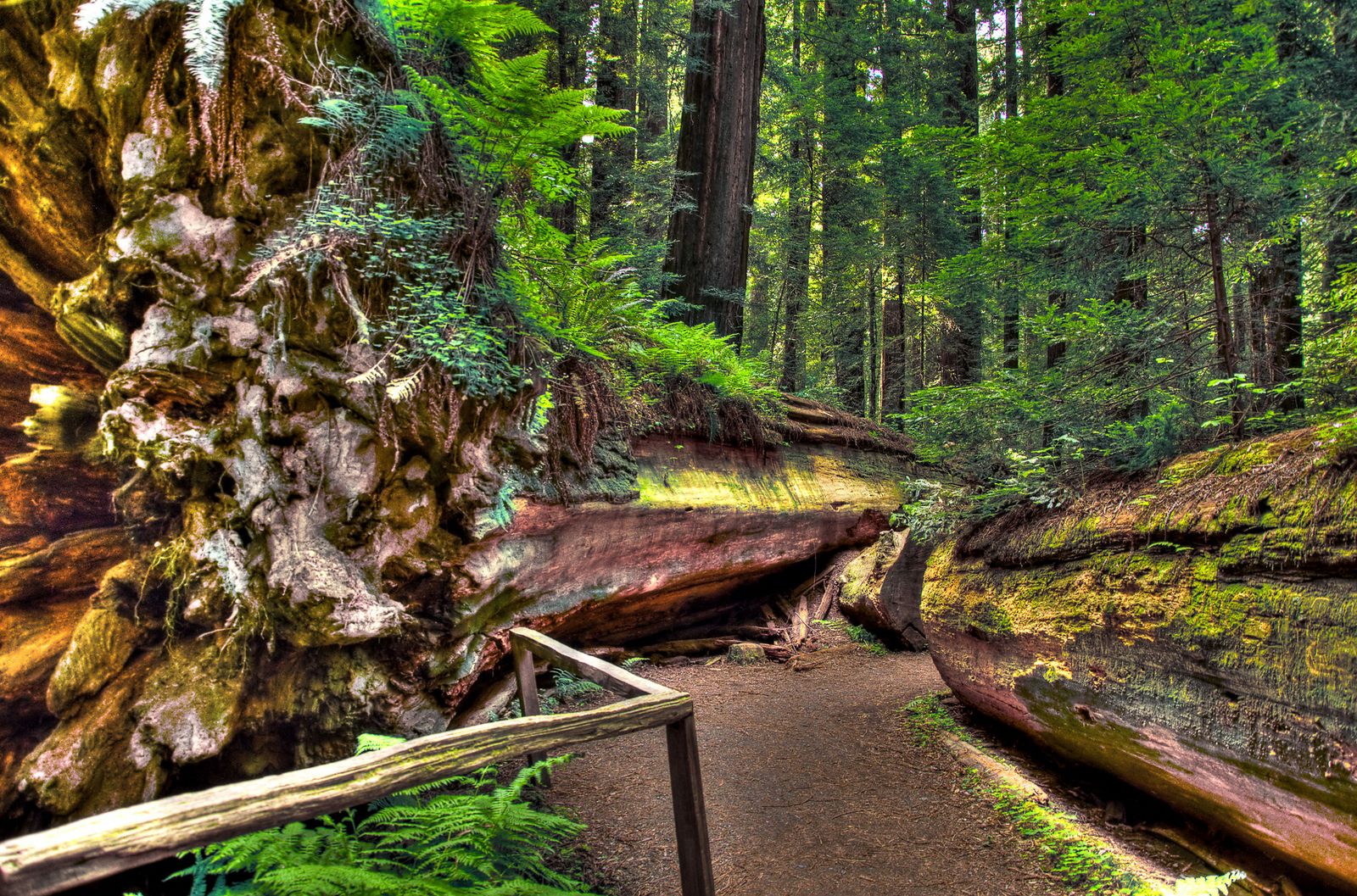
The nearby Founders Tree adds a standing counterpart to the fallen giant, and the whole loop is walkable in well under an hour, making it one of the easiest ways in the county to stand next to old growth scale.
Lost Coast Trail: Humboldt County’s most epic wilderness backpacking route
The Lost Coast earns its name honestly: the King Range rises straight from the Pacific here, too steep and rugged for Highway 1 to ever cross it, which is exactly why this 24.6 mile stretch between Mattole and Black Sands Beach remains one of the most remote coastal hikes in the country. That same rugged coastline runs south into the hiking trails in Mendocino County, once the King Range gives way to gentler, more accessible terrain.
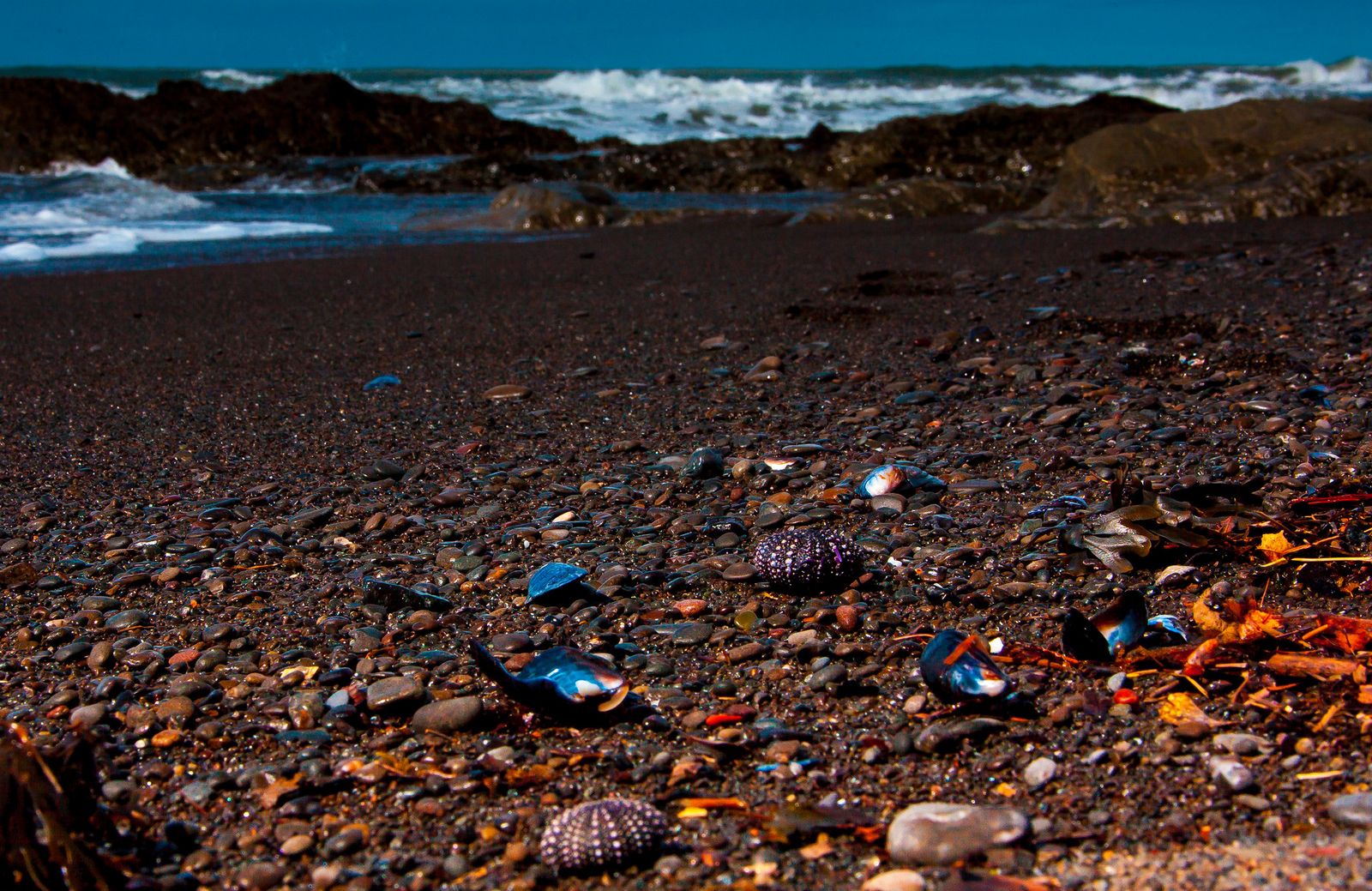
King Peak, the range’s highest point at 4,088 ft, sits just three miles from the ocean, a dramatic rise rarely matched anywhere else on the continental U.S. coastline.
Planning the Lost Coast Trail: permit, tides, and logistics
Most hikers cover the full Mattole to Black Sands route over 3 to 4 days, commonly hiked north to south to keep prevailing coastal winds at your back rather than in your face. Overnight permits through Recreation.gov are required year-round for any overnight stay in the King Range Wilderness, a genuinely common point of confusion, since a separate seasonal process exists specifically for organized or commercial groups, not individual hikers.
Expect a $12 per person recreation fee plus a $6 non refundable reservation fee per permit, and a hard sided bear canister is mandatory; bear bags and hangs aren’t accepted as a substitute, and rangers do enforce it.
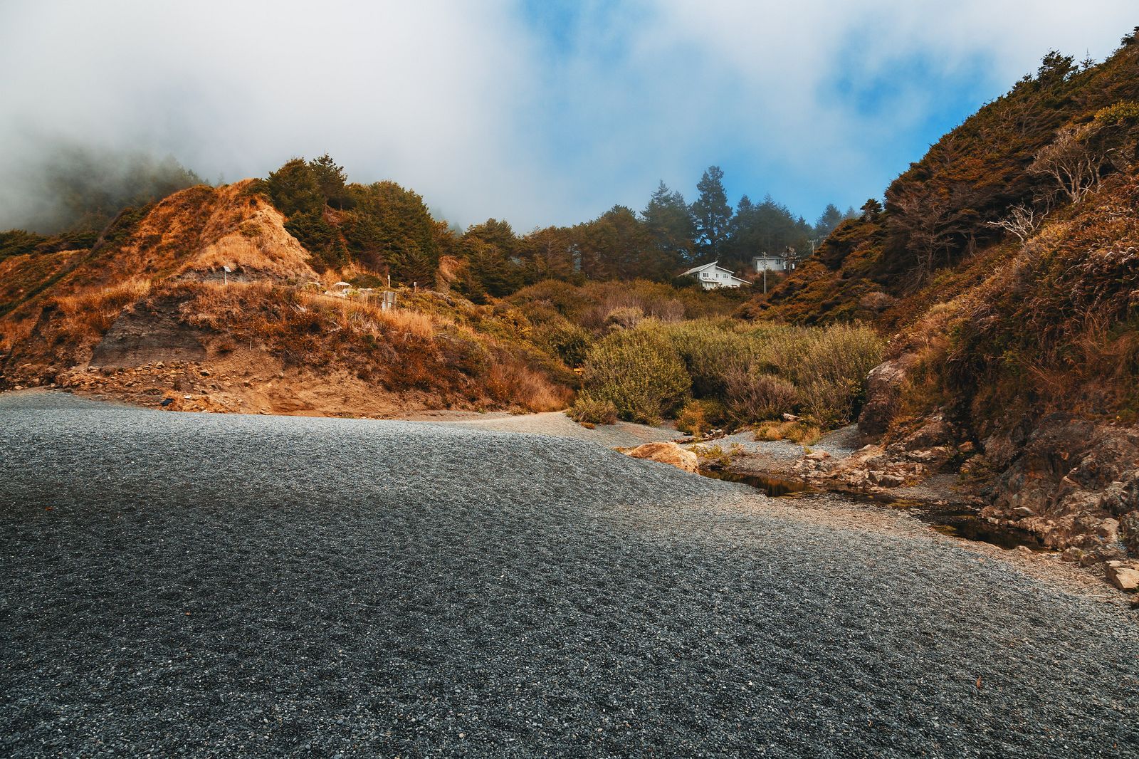
Tide timing is the trail’s real hazard, more than the mileage or elevation: three specific sections turn impassable above set tide heights: Punta Gorda passable under about 6 ft, Sea Lion Gulch to Randall Creek under about 2.5 ft, and Miller Creek to Gitchell Creek under about 3 ft.
Check NOAA tide predictions against these specific thresholds rather than relying on a single rule of thumb; always enter an impassable zone on a receding tide, and don’t attempt these stretches at night. Campfires are banned throughout the King Range Wilderness from June 19 through September 30, so plan on a camp stove for that stretch of the calendar.
Best day hiking trails near Trinidad and Humboldt Bay
Trinidad and the Humboldt Bay area offer the county’s most accessible day hiking, a welcome contrast to the multi day commitment the Lost Coast demands.
Trinidad Head Loop: Humboldt County’s best short coastal summit
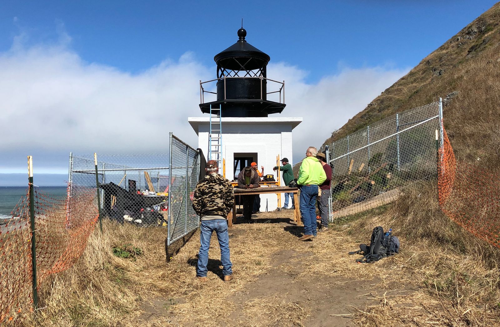
This 1.2 mile loop with about 300 ft of gain circles a dramatic headland right above Trinidad Bay, passing a historic lighthouse with harbor seals, sea birds, and gray whale migration all visible from the same short walk.
It’s free, accessible right from Trinidad’s town center, and open year-round, a strong pick for a short outing on the way to or from a longer Humboldt County trip. Patrick’s Point State Park, a short drive north, adds Wedding Rock and the Sumeg Village replica for a longer coastal day if Trinidad Head alone doesn’t fill the afternoon.
Humboldt County rewards splitting a trip across its three zones rather than trying to cover all of it in one visit: Redwood National and State Parks and Humboldt Redwoods both deliver serious old growth in a single day, while the Lost Coast demands its own multi day commitment with real tide and permit planning.
Start with an easy win like Founders Grove or Trinidad Head, and build the Lost Coast Trail into a future trip once you’ve got the permit and tide logistics sorted. Few counties in California ask this little planning for their easiest hikes and this much for their hardest one, and that gap is really the whole story of what makes Humboldt worth the drive north.
Frequently asked questions about hiking trails in Humboldt County
How do I hike the Lost Coast Trail in Humboldt County?
Most hikers cover the 24.6-mile Mattole to Black Sands route over 3 to 4 days, typically north to south to keep the wind at your back. Book a Recreation.gov overnight permit ahead of time, carry a hard-sided bear canister, and check tide tables against the trail’s three specific impassable zones before you commit to your dates.
Do I need a permit for the Lost Coast Trail?
Yes, for any overnight stay, permits are required year-round through Recreation.gov, not just during a seasonal window. Day use doesn’t require a permit, though most of the trail’s best sections aren’t realistic as a single day out and back given the distances involved.
How do I get to Fern Canyon in Prairie Creek Redwoods?
Access currently requires either a seasonal vehicle reservation (May 15 to September 15) or a longer hike in via the James Irvine Trail, and conditions have shifted in the past year; see our full Redwood National Park guide for the current specifics before you plan a trip around it.
What is the difference between Humboldt Redwoods State Park and Redwood National Park?
They’re separate parks despite sitting in the same general area and sharing a name theme: Humboldt Redwoods State Park is further south along the Avenue of the Giants and holds the Founders Grove and Dyerville Giant, while Redwood National and State Parks to the north hold Fern Canyon and Tall Trees Grove. Both protect old-growth coast redwoods, just under different management and in different parts of the county.
What are the best easy redwood hiking trails in Humboldt County?
The Founders Grove Nature Loop in Humboldt Redwoods is about as easy as old growth hiking gets, a flat mile past the fallen Dyerville Giant with no reservation needed. It’s a strong first stop for anyone new to redwood hiking before tackling something longer.
Is the Lost Coast Trail suitable for beginners?
Not as a first backpacking trip; the tide-dependent sections, permit logistics, and genuine remoteness (no cell service and no quick way out for most of the route) make real backcountry experience important before attempting it. A shorter day hike from either trailhead is a reasonable way to sample the terrain without committing to the full multi-day crossing.