Peak Bagging in California: A Guide to Summiting the State’s Best Peaks
At some point, most regular hikers start noticing the same thing: they keep ending up on top of things. Peak bagging is just that instinct turned into a structured goal, working through an actual list of named summits instead of picking trails at random. Peak Bagging in California comes with more organized peak lists than almost anywhere else in the country, from a 247-peak Sierra challenge to the state’s 15 fourteeners, each with its own community, tradition, and way of tracking progress. Here’s how the lists work, where to start, and what changes once “hiking” becomes “peak bagging.
Disclosure: Please note that some of the links below are affiliate links and at no additional cost to you, I may earn a commission. Know that I only recommend hiking gear I personally stand behind; when you use my affiliate links, it helps me run this blog and keep all of this content free of charge for readers (like you).
Key takeaways:
- Peak bagging means systematically working through a defined list of named peaks, not just summiting whatever’s nearby. The list and the tracking are what make it distinct from regular hiking.
- California’s major lists include the SPS (247 Sierra Nevada peaks), the 15 California 14ers, and the HPS and DPS lists covering Southern California and the desert.
- The Yosemite Decimal System (Class 1–5) rates difficulty; most peak-bagging summits in California fall in Class 1–3, trail hiking through hands-required scrambling.
- Mount Whitney is both the state’s highest peak and a genuinely reasonable Class 1 beginner summit via the Main Trail, though its permit lottery is one of the hardest in the country to win.
- Cross-country navigation, no trail, just a map and GPS, is the real skill jump between hiking and peak bagging, more than fitness or elevation gain.
- Peakbagger.com and Lists of John (LoJ) are the standard tools for logging progress across any list, official club membership or not.
What is peak bagging and why do hikers do it?
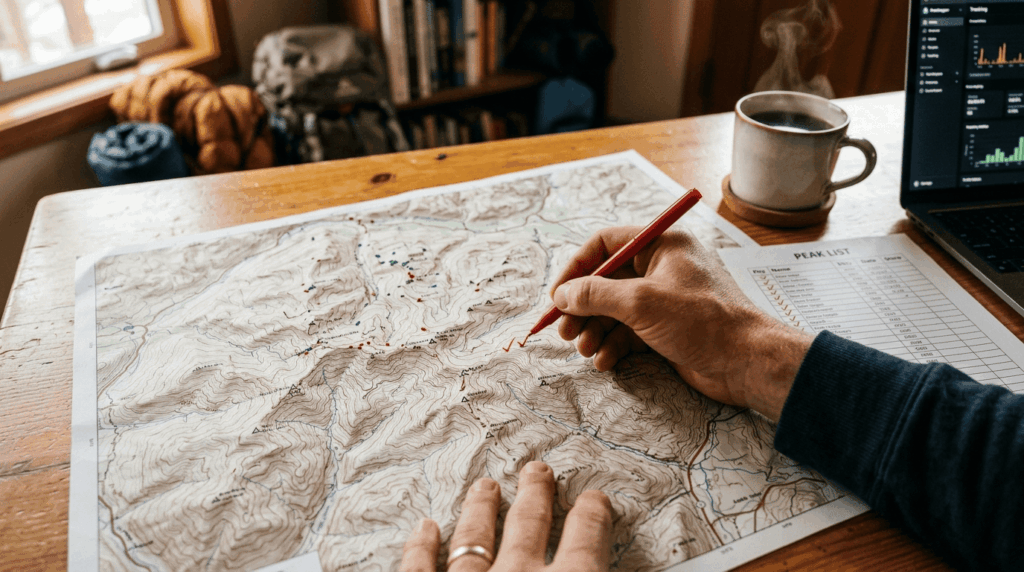
Peak bagging is the practice of systematically summiting peaks from a defined list, then tracking your progress toward completing it. The lists themselves, usually built by a club or a dedicated peak-bagging community, are what turn a hobby into a goal with a visible finish line, and completing one is a genuinely different kind of accomplishment than just having a long history of hikes.
Peak bagging vs. regular summit hiking: what makes it a distinct pursuit
Regular summit hiking is route-driven; you pick a trail because it looks good this weekend. Peak bagging is list-driven and cumulative: every summit counts toward a running total, and the list itself often pushes you toward peaks and regions you’d never have chosen on your own. That’s the real appeal for a lot of peak baggers: the list does the trip planning for you.
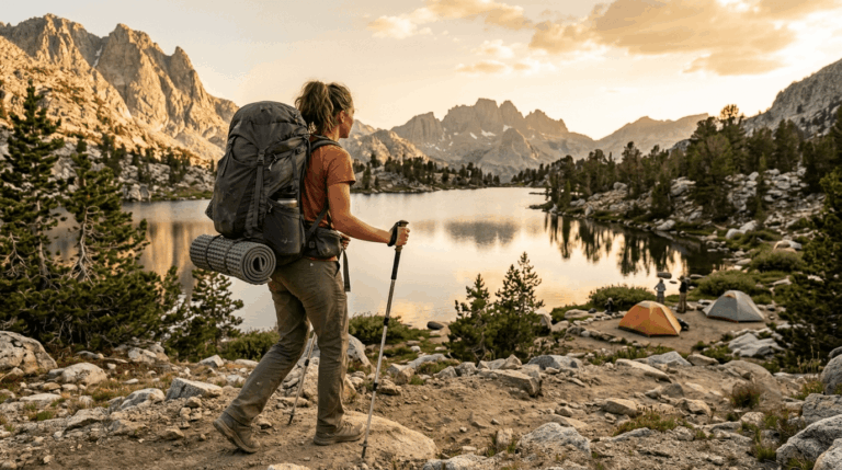
For some peaks, a multi-day backpacking trip is required to reach the base camp, while others can be conquered as strenuous single-day pushes. To help plan your approach strategy, read our backpacking vs. day hiking guide.
California’s major peak bagging lists
The Sierra Peaks Section (SPS) list: California’s most comprehensive peak challenge
The SPS list, maintained by the Sierra Club’s Angeles Chapter since 1955, currently includes 247 peaks spanning the Sierra Nevada, with difficulty ranging from Class 1 walk-ups to Class 4 technical routes. Membership just requires six peaks and a Sierra Club membership. You don’t need to be chasing full list completion to participate, and most peak baggers never finish all 247. Interestingly, one peak on the list, Mount Rose, is actually across the state line in Nevada, a quirk of the list’s history that most SPS members know and nobody’s bothered to fix.
California’s 15 peaks over 14,000 feet: the ultimate peak bagging challenge
California has 15 ranked peaks above 14,000 ft, topped by Mount Whitney at 14,505 ft, the highest point in the contiguous United States, alongside peaks like White Mountain Peak and North Palisade. Difficulty varies enormously across the list: some are Class 1 walk-ups, others require real technical climbing, so “14er” alone tells you almost nothing about how hard a specific peak actually is.
The Hundred Peaks Section and Desert Peaks Section lists for Southern California
The HPS list covers roughly 100 peaks across the Transverse and Peninsular Ranges and the San Gabriel Mountains, while the DPS list covers desert summits including peaks in the Death Valley region. Both sit at lower elevations than the Sierra lists and stay accessible nearly year-round, which makes them the practical choice for SoCal-based peak baggers without easy Sierra access.
Getting started with peak bagging in California
Best beginner peak bagging summits in California
Mount Whitney via the Main Trail is Class 1 and, permit lottery aside, a genuinely reasonable first big summit for a fit hiker. The trail itself demands no technical skill, just serious fitness, altitude tolerance, and a very early start.
Mount Baldy (Class 2, Los Angeles County) and Mount Shasta’s Avalanche Gulch route (Class 2), and challenging Bay Area training peaks like Mission Peak are solid non-technical options closer to population centers, and Half Dome ranges from Class 1 to 3 depending on whether you’re counting the cabled section. None of these require technical climbing skills, just fitness, planning, and respect for altitude.
How to track your peak bagging progress in California
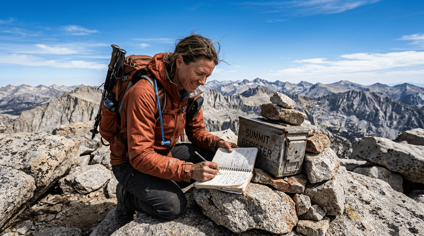
Peakbagger.com is the standard global database for logging summits against any list, official or informal. Lists of John (LoJ) serves a similar role with a stronger Sierra Nevada focus. If you want the more traditional route, joining the SPS, HPS, or DPS directly gets you official club recognition and access to organized outings and signing summit registers at the top, a long peak-bagging tradition, which is worth doing regardless of which tracking method you use.
Gear and safety for peak bagging in California
The Yosemite Decimal System: how peak difficulty is classified in California
Class 1 means trail hiking; Class 2 adds off-trail scrambling without hands; Class 3 requires hands for scrambling but no rope; Class 4 is exposed scrambling where a fall carries real consequences; and Class 5 is technical rock climbing requiring a rope.
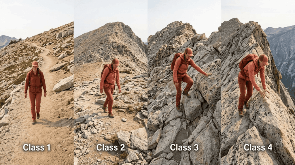
Most peak-bagging summits accessible to hikers in California fall in Class 1–3. Class 4 and 5 peaks are where the sport shifts from hiking into mountaineering and climbing. You can read a complete breakdown of YDS classes and terrain ratings in our hiking difficulty levels guide.
Cross-country navigation for off-trail peak bagging in California
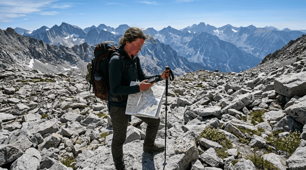
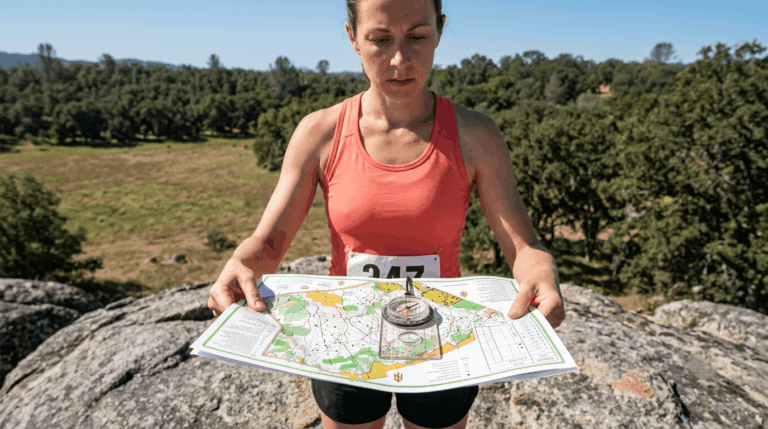
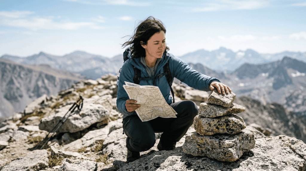
Once you’re past Class 1, plenty of California summits have no maintained trail at all, which makes GPS waypoints and real topo map reading non-negotiable rather than optional. Terrain hazards like scree and exposure show up constantly on cross-country peak routes, and official cairns (where they exist) are helpful but shouldn’t replace an actual navigation plan. A cairn built by a previous hiker can be wrong, and relying on one instead of your own map reading is how peak baggers end up genuinely lost.
Be sure to pack the Ten Essentials, including a high-quality handheld GPS unit or compass, as outlined in our comprehensive hiking gear checklist.
Best regions for peak bagging in California
Peak bagging in the Sierra Nevada: California’s premier mountain range
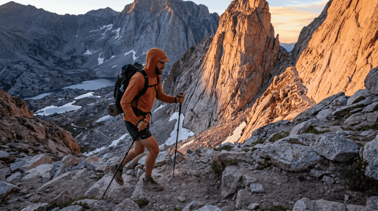
The Sierra Nevada holds the highest density of named summits in the state, 500-plus by some counts, with the Pacific Crest Trail and John Muir Trail serving as natural approach corridors for many of them. Eastern Sierra access (via Bishop, Lone Pine, and similar Highway 395 towns) tends to be faster and steeper than Western Sierra approaches, which matters a lot when you’re planning trip length.
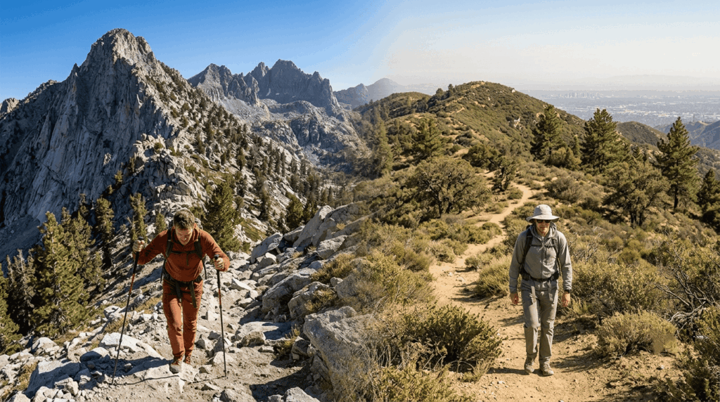
Peak bagging near Los Angeles: San Gabriel and San Bernardino Mountains
Mount San Antonio (Mount Baldy), Mount Wilson, San Gorgonio (Southern California’s highest peak), and San Jacinto Peak all sit within a couple of hours of downtown LA, making this the most convenient region in the state for weekend peak bagging without a long drive.
Peak bagging turns hiking into something with an actual scoreboard, and California gives you more ways to keep score than almost any other state. Start with a Class 1–2 beginner summit, pick up navigation skills before you go cross-country, and let one of the established lists SPS, 14ers, HPS, or DPS give your next several years of hiking an actual direction.
Frequently asked questions about peak bagging in California
What is the highest mountain you can hike in California?
Mount Whitney, at 14,505 ft, is both the highest peak in California and the highest point in the contiguous United States. Its standard Main Trail route is Class 1 and non-technical, though permits are competitive.
How long is the hike to the top of Mount Whitney?
The Main Trail is a 22-mi round trip from Whitney Portal with roughly 6,100 ft of elevation gain, typically taking 12–14 hours for a day hike. Most hikers start before sunrise to have enough daylight for the full round trip.
What is peak bagging and how do I get started in California?
Peak bagging means working through a defined list of named summits, starting with a beginner-friendly Class 1–2 peak, tracking your progress on Peakbagger.com, and building toward one of the established lists like the SPS or HPS once you’ve got a few summits under your belt.
What are the 14,000-foot peaks in California?
There are 15 ranked peaks above 14,000 ft in California, led by Mount Whitney at 14,505 ft, along with peaks like White Mountain Peak and North Palisade. Difficulty varies widely across the list, from Class 1 walk-ups to technical climbs.
Do I need a permit to climb Mount Whitney in California?
Yes, year-round. During the quota season (roughly May through October), permits are awarded through a competitive Recreation.gov lottery that runs in February, with a $6 application fee plus $15 per person if you’re awarded a spot.
What is the Yosemite Decimal System and how does it rate peaks?
It’s the standard difficulty scale for hiking and climbing terrain, running from Class 1 (trail hiking) through Class 5 (technical rope climbing). Most California peak-bagging summits accessible without climbing gear fall in Class 1–3.