Geocaching on California Hiking Trails: How to Turn Any Trail Into a Treasure Hunt
Geocaching is a GPS-guided treasure hunt: you use coordinates from a free online database to track down a hidden container, sign the logbook inside, and log your find online. On a California trail, it turns a walk you might have done a dozen times into something with an actual objective, and it’s one of the easiest ways I know to get a reluctant hiker, especially a kid, genuinely excited about the next mile. This guide breaks down everything you need to know to get started with Geocaching on California Hiking Trails safely and responsibly.
Disclosure: Please note that some of the links below are affiliate links and at no additional cost to you, I may earn a commission. Know that I only recommend hiking gear I personally stand behind; when you use my affiliate links, it helps me run this blog and keep all of this content free of charge for readers (like you).
Key takeaways
- Geocaching is free to start: a basic Geocaching.com account costs nothing and unlocks most nearby caches.
- Not every cache is the same: traditional caches are a single container, while multi-caches, mystery caches, and EarthCaches all add a layer of puzzle-solving.
- Most California national parks restrict physical caches, Yosemite, Death Valley, and Joshua Tree effectively don’t allow them without special permission, which surprises a lot of first-timers.
- Difficulty and terrain ratings (1–5 each) matter more than the cache itself, a D1/T1 cache is wheelchair-accessible; a D5/T5 might require scrambling or specialized gear.
- Cache density is uneven across the state, Angeles National Forest, Griffith Park, and the Bay Area’s regional parks are genuinely rich hunting grounds; some rural counties barely have any.
What is geocaching and how does it work on hiking trails?
At its core, geocaching is a global game of hide-and-seek played with GPS coordinates instead of a countdown. Someone hides a container along a trail, logs its coordinates and a description on Geocaching.com, and other geocachers navigate to that point, find the cache, sign the logbook, and log their find online.
How geocaching uses GPS coordinates to create a trail treasure hunt
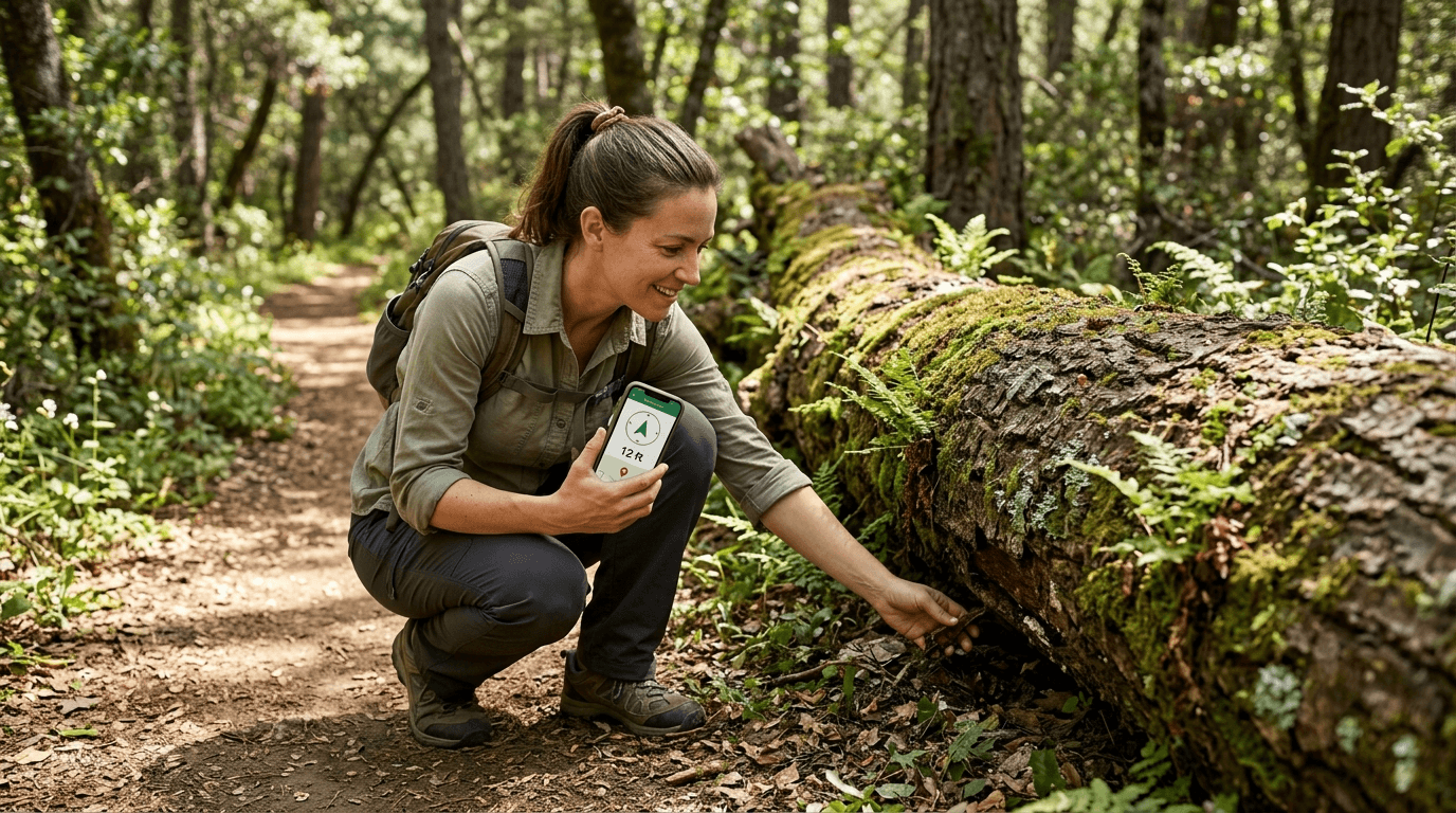
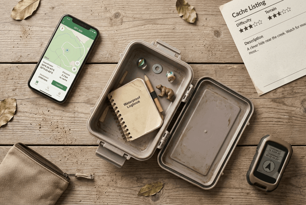
You pull up nearby caches on the Geocaching app or website, pick one, and navigate toward its listed coordinates using your phone’s GPS. Standard phone GPS gets you within about 10 ft of most caches, which is close enough that the last stretch of searching, checking under rocks, inside hollow logs, behind trail signs, becomes the actual game.
Deep canyons and dense tree cover common on California trails can knock that accuracy off by a wider margin, so don’t be surprised if a cache in a Sierra forest or a narrow coastal canyon takes longer to pin down than one in open desert. Using dedicated handheld GPS navigators or downloading offline topo maps can reduce accuracy problems in remote, low-signal terrain. For more tips on resolving navigation issues, check out our navigation hazards guide.
Once you find it, sign the paper logbook inside, optionally trade a small trinket item, and log your find online when you’re back in service.
Types of geocaches you will find on California hiking trails
| Cache type | What it is | Good for beginners? |
|---|---|---|
| Traditional | Single container at listed coordinates | Yes, start here |
| Multi-cache | Series of waypoints leading to a final cache | Once you’ve found a few traditionals |
| Mystery/puzzle | Requires solving a clue before you get real coordinates | Only if you enjoy puzzles |
| EarthCache | A geological feature you observe, no container involved | Yes, and the only kind allowed in most national parks |
| Nano/micro | Tiny, often magnetic container, minimal contents | Trickier to spot, not ideal for a first find |
Why geocaching makes California hiking more engaging and accessible
Geocaching gives a trail a built-in objective, which matters more than it sounds like it should. I’ve watched people who’d never call themselves hikers cover three miles without complaint because there was a cache waiting at the end of it, the destination stopped being abstract. If you want to understand the different kinds of trails you might explore, see our what is a hiking trail guide.
Geocaching with kids: why it is one of the best family hiking activities in California
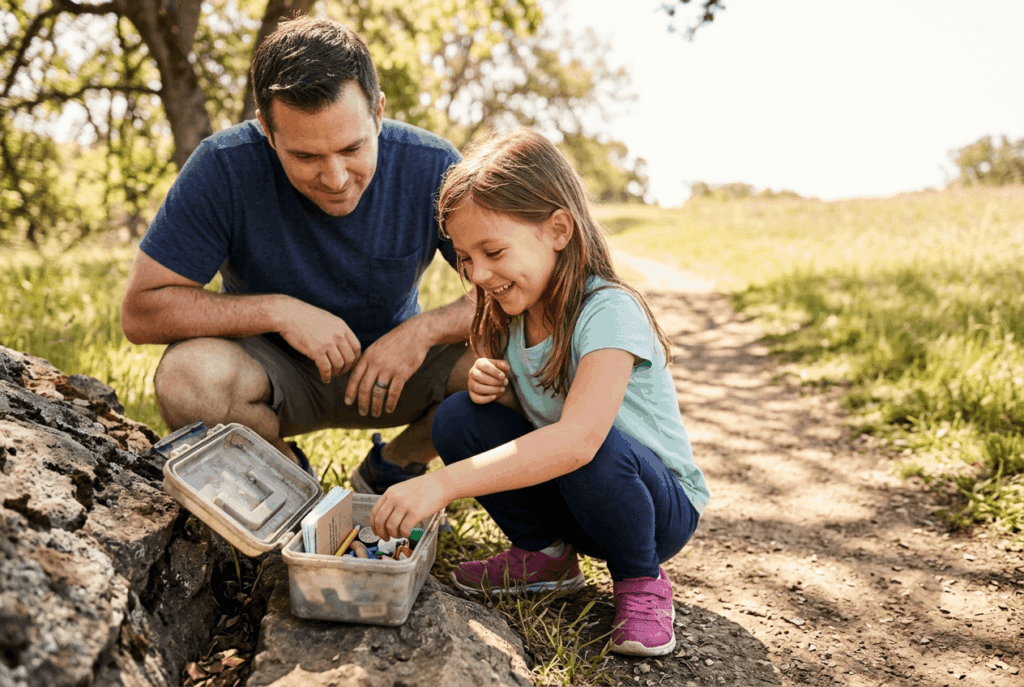
Kids respond to achievable, concrete goals better than they respond to “let’s go for a nice walk,” and geocaching gives them exactly that, a specific thing to find, a logbook to sign, and often a small trinket to trade. Start with traditional caches rated D1/T1 or D1/T2 on short, well-established trails; save the puzzle caches and off-trail terrain ratings for once everyone’s hooked.
Getting started with geocaching on California trails
You don’t need special equipment to start, a smartphone and a free account cover the vast majority of nearby caches.
How to create a free geocaching account and find your first California cache
Sign up at Geocaching.com (or download the official app, or the free c:geo app on Android) and search caches near your location. Filter for traditional caches with a low difficulty and terrain rating for your first few finds, and read the hint text before you get frustrated, most listings include one, and using it isn’t cheating.
A free Basic membership unlocks the majority of caches you’ll come across; a paid Premium membership mostly opens up mystery caches and a handful of caches owners have chosen to restrict, which isn’t something you need to worry about until you’re hooked.
Geocaching difficulty and terrain ratings: what they mean for California hikers
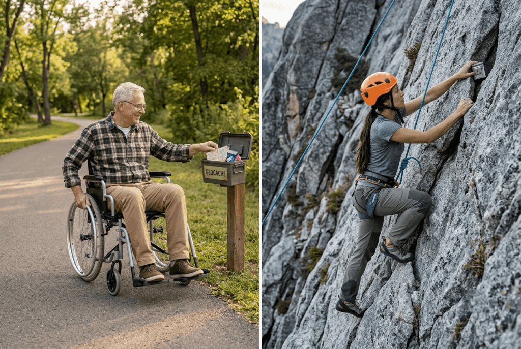
Every cache gets a D/T rating on a 1–5 scale for each axis: difficulty covers how hard the cache itself is to find or solve, terrain covers how physically demanding reaching it is. A D1/T1 cache is close to wheelchair-accessible; a D5/T5 might require scrambling, technical gear, or genuine puzzle-solving before you even start walking.
Match the rating to your group’s actual fitness and patience level, not your ambitions for the day. Make sure you calibrate your expectations against standard trail difficulty ratings before picking high-terrain caches.
Geocaching etiquette and rules on California hiking trails
Geocaching has its own set of manners, and most of them exist to keep the activity welcome on the trails that allow it.
Is geocaching allowed in California national parks?
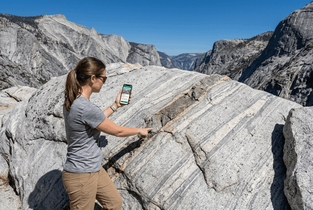
This is the one that surprises people: Yosemite, Death Valley, Joshua Tree, and nearly every other National Park Service (NPS) unit in California effectively prohibit physical caches without a special use permit, since traditional geocaching can encourage off-trail travel and leaving items behind, both against NPS resource-protection rules. You can still hunt EarthCaches inside these parks, since they point you to a natural feature rather than a hidden container.
California State Parks generally allow traditional caches with a permit, and county and regional parks, along with National Forest land like Angeles National Forest, are usually the most permissive of all. Always practice Leave No Trace trail etiquette when hunting caches, ensuring you do not disturb native flora, fauna, or historical sites.
Cache In Trash Out (CITO): how geocachers give back to California trails
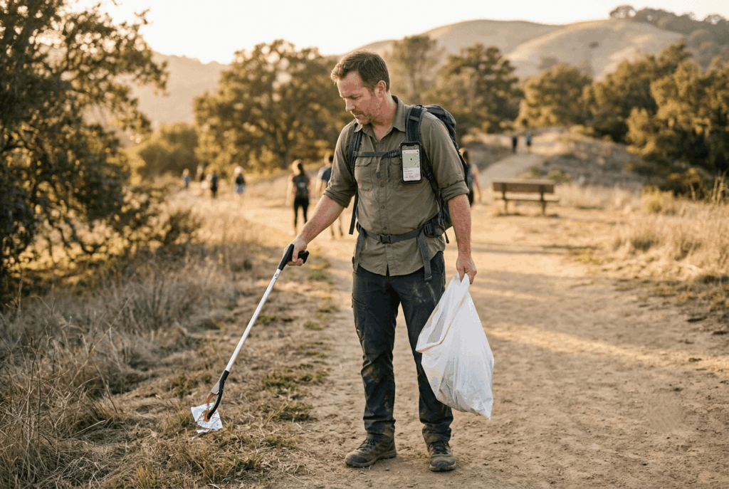
CITO is the geocaching community’s own trail cleanup ethic: carry a trash grabber or spare bag and pick up litter you find while searching, whether or not it’s anywhere near the cache. It’s an unofficial rule that’s become close to universal practice, and it’s part of why land managers who do allow geocaching tend to keep allowing it.
Best geocaching areas in California
Cache density varies a lot by region, some areas have decades of accumulated caches, others are comparatively sparse.
Best geocaching areas in Southern California
Angeles National Forest holds hundreds of traditional caches across its trail network, and Griffith Park mixes urban-adjacent caches with genuine trail finds in the same park. Anza-Borrego adds a desert-adventure flavor with caches spread across open terrain, and San Diego’s Mission Trails Regional Park is a reliably dense, easy-access option close to the city.
Best geocaching areas in Northern California
The East Bay Regional Park District’s network is one of the most cache-dense systems in the state, spread across dozens of parks close enough together that a weekend can turn into a real streak of finds. Point Reyes layers coastal scenery into the hunt, with caches along both the bluff trails and the quieter inland ones.
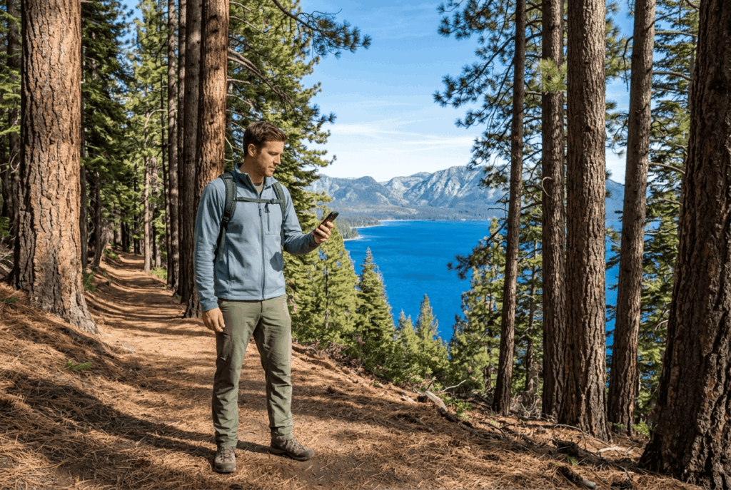
The Sacramento River Parkway offers an easy, flat option for beginners who want a low-terrain-rating outing close to the city, and the Lake Tahoe area’s forest trails combine geocaching with some of the best scenery in California, a strong reason to bring the GPS along on a Tahoe hiking trip already on your list. Make sure to consult a basic hiking safety guide before heading into remote forest areas in search of hidden containers.
Geocaching doesn’t replace a good trail, it gives you a reason to notice every part of one you might otherwise walk past. Start with a traditional cache rated low on both difficulty and terrain, bring the family along once you’ve got the hang of it, and double-check whether your destination is NPS land before you go looking for a physical container. Do that, and you’ll never look at a “boring” local trail quite the same way again.
Frequently asked questions about geocaching on California hiking trails
What is geocaching and how do you do it?
Geocaching is a GPS-guided hunt for hidden containers logged on Geocaching.com, you navigate to listed coordinates, find the cache, sign the logbook, and log your find online. It’s free to start and works on nearly any trail that allows it.
What app do I use for geocaching on California hiking trails?
The official Geocaching app (iOS and Android) is the most complete option, while c:geo is a solid free alternative for Android users. Both pull from the same Geocaching.com database, so you’ll see the same caches either way.
Is geocaching allowed in California national parks?
Generally no for physical caches, Yosemite, Death Valley, Joshua Tree, and most other NPS units in California don’t allow them without special permission. EarthCaches are the exception, since they don’t involve a container.
Is geocaching free to do in California?
Yes, a basic Geocaching.com account is free and gives you access to the majority of nearby caches. A paid Premium membership unlocks some additional caches, but it’s not required to get started.
Is geocaching a good activity for kids on California trails?
Yes, and it’s one of the better ways to get reluctant young hikers excited about a trail. Stick to low difficulty and terrain ratings on short, established trails for a first outing.
How do I hide a geocache on a California hiking trail?
Check land ownership first, National Forest and most county/regional parks are generally receptive, while NPS land typically requires a special use permit or isn’t allowed at all. Once you’ve confirmed it’s permitted, follow Geocaching.com’s placement guidelines and be ready to maintain the cache over time, not just place it and walk away.