The 5 Best Desert Hiking Trails in San Bernardino County
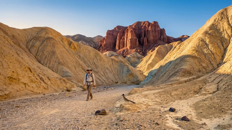
This is the most road-trip-flavored guide in the entire San Bernardino County batch; every trail here sits along or near old Route 66, in genuine high-desert terrain distinct from the mountain-town hikes in Big Bear and Lake Arrowhead. If you’re heading further out to explore the Mojave National Preserve itself, this guide covers the Best Desert Hiking Trails just outside that boundary, genuinely different destinations, not overlapping content. For the full county picture, San Bernardino County’s trail hub ties this batch together.
Disclosure: Please note that some of the links below are affiliate links and at no additional cost to you, I may earn a commission. Know that I only recommend hiking gear I personally stand behind; when you use my affiliate links, it helps me run this blog and keep all of this content free of charge for readers (like you).
Key takeaways
- The birding destination: Big Morongo Canyon Preserve, a spring-fed desert oasis hosting over 240 recorded bird species.
- The Route 66 icon: Amboy Crater, a genuinely dangerous-in-summer volcanic cinder cone, and one of this site’s most heat-critical trails.
- The hydrological oddity: Afton Canyon, one of the only places the Mojave River flows above ground.
- The photographer’s pick: Rainbow Basin’s Owl Canyon Trail, banded, multicolored badlands best seen at golden hour.
- The history-and-hike combo: Calico Peak Trail, a steep climb above a real 1880s silver-mining ghost town.
- Every trail on this list demands real heat awareness. This is the most safety-critical guide in this entire batch, and it’s not close.
Quick-glance comparison
| Trail | Distance (RT) | Elevation gain | Fee |
|---|---|---|---|
| Big Morongo Canyon (Marsh Trail) | 0.7 mi | 42 ft | Free |
| Amboy Crater | 3–4.1 mi | 250–423 ft | Free |
| Afton Canyon | ~4 mi (adjustable) | Minimal | Free (camping $6/night if staying over) |
| Rainbow Basin (Owl Canyon Trail) | 2–3.6 mi | ~400–492 ft | Free |
| Calico Peak Trail | ~2.5 mi | ~700 ft | $8/adult park entry |
Big Morongo Canyon Preserve: a genuine desert oasis, and one of California’s top birding sites
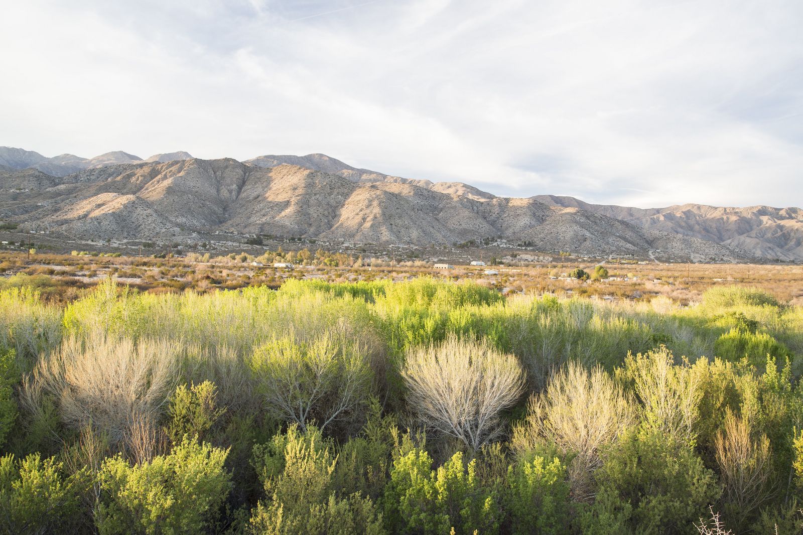
This is the trail I’d send anyone who assumes “desert hiking” means barren and lifeless. It’s the opposite, a spring-fed riparian corridor supporting an outsized amount of life for its size.
Trailhead access: a free county park lot in Morongo Valley
The preserve entrance sits on East Drive in Morongo Valley, with a free parking lot beside the visitor center. San Bernardino County Regional Parks manages the site in partnership with the nonprofit Friends of Big Morongo Canyon Preserve, within the larger Sand to Snow National Monument.
Difficulty, distance, and elevation gain on the Marsh Trail
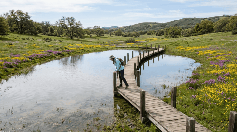
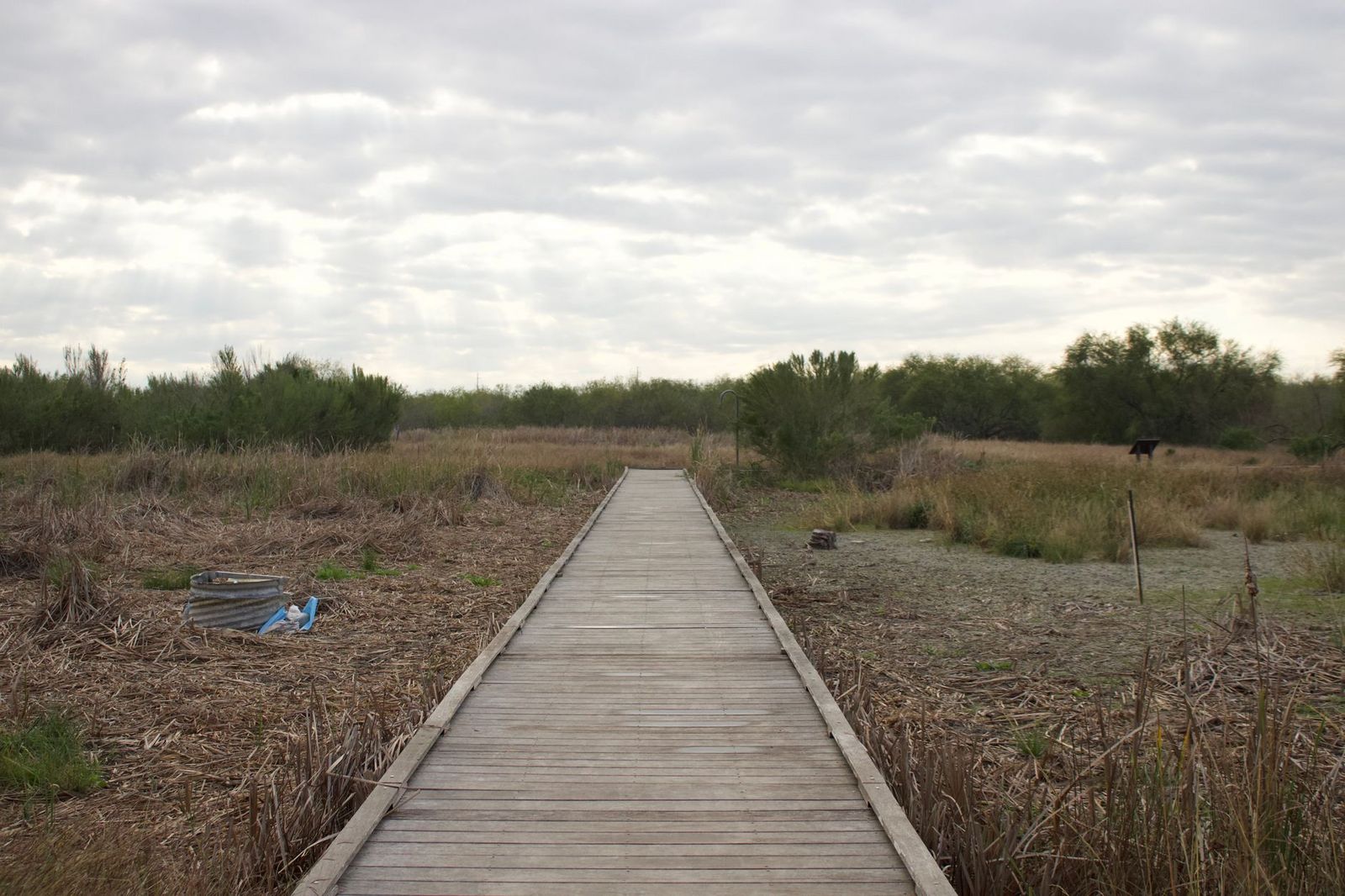
The main Marsh Trail is a short, easy 0.7-mile boardwalk loop with just 42 feet of gain, genuinely one of the most accessible trails in this entire San Bernardino County batch. Longer canyon routes exist for hikers who want more distance, up to 12-plus miles one-way for the full Big Morongo Canyon Trail.
What you’ll see: over 240 bird species in a spring-fed oasis
This is an internationally recognized birding site, with year-round water from snowmelt and the Morongo Fault supporting more than 240 migrating and breeding species, golden eagles and red-tailed hawks both nest here.
Best time to hike Big Morongo Canyon: spring and fall migration
Bird activity peaks during spring and fall migration windows, though the boardwalk stays comfortable and shaded most of the year thanks to the marsh’s tree cover.
Amboy Crater Trail: a Route 66 icon, and the most heat-critical trail in this guide
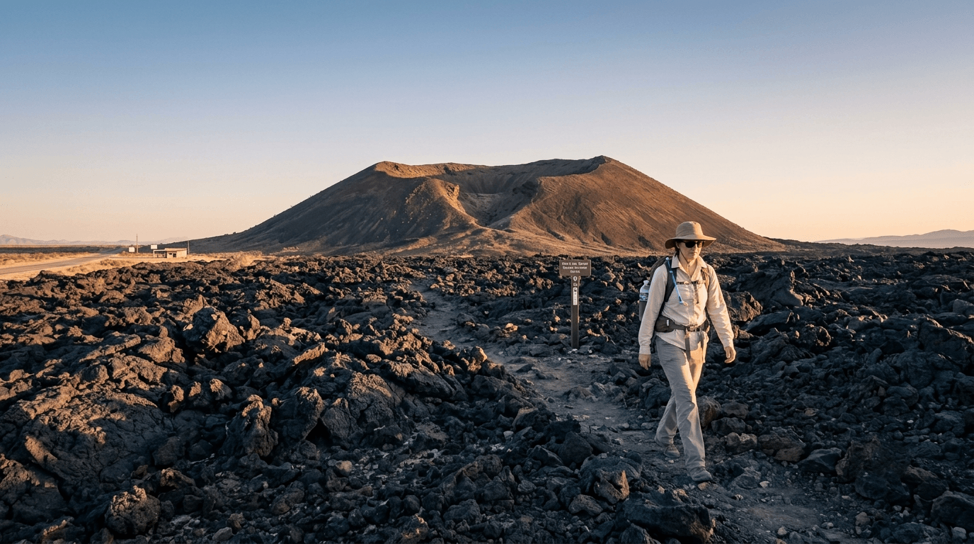
Amboy Crater is unmissable from the highway, a near-perfectly symmetrical volcanic cone rising straight out of the lava field it created. It’s also, without exaggeration, one of the more dangerous short hikes on this entire site if you get the timing wrong.
Trailhead access: free BLM parking directly off Route 66
The trailhead sits just off historic Route 66 near the town of Amboy, with a paved BLM day-use lot offering picnic tables, restrooms, and an ADA-accessible overlook ramada. No fee, no permit.
Difficulty, distance, and elevation gain to the crater rim
Figures vary by source: the shorter commonly cited version runs about 3 miles round trip with roughly 250 feet of gain, while AllTrails’ more detailed listing puts the full crater-and-rim route at 4.1 miles with 423 feet of gain. Either way, there’s zero shade anywhere on this trail.
What you’ll see: a roughly 79,000-year-old volcanic cinder cone
Amboy Crater’s broader volcanic field dates back some 79,000 years, though its most recent eruption occurred around 10,000 years ago. The crater itself stands 250 feet tall, with a breach on its west side where you can hike directly into the collapsed caldera floor.
Best time to hike Amboy Crater: cool season only, and take the heat seriously
This bears repeating with more weight than any other trail in this guide: people have died here from heat exhaustion on a hike that looks short and easy on paper. Amboy Crater National Natural Landmark has no water at the trailhead, no shade anywhere on the route, and summer temperatures regularly exceed 100°F on exposed black lava rock that radiates heat back at you. Hike this one in cool months, early morning, with more water than you think you need.
Afton Canyon: the “Grand Canyon of the Mojave,” and a rare above-ground stretch of river
Most of the Mojave River runs underground. Afton Canyon is one of the few places it doesn’t, and the result is a genuine desert river canyon that feels wildly out of place in this landscape.
Trailhead access: a graded dirt road off I-15, BLM campground
Take the Afton Road exit off I-15, about 37 miles northeast of Barstow, and follow the graded gravel road roughly 3 miles to the campground and trailhead. The road is generally manageable for most vehicles when dry, though soft sand and washboard sections can catch out low-clearance cars.
Difficulty, distance, and elevation gain through the canyon
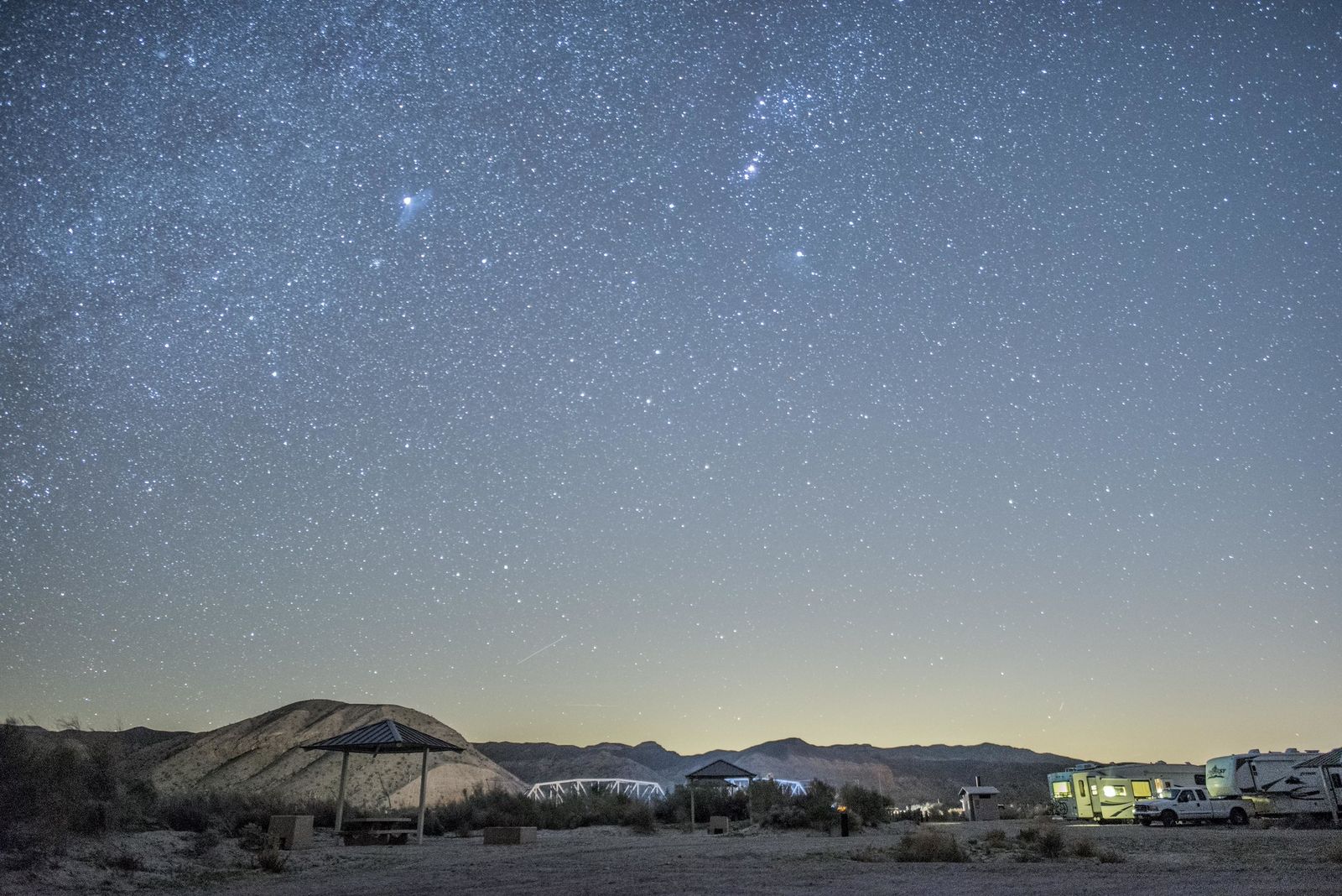
The trail follows an old mining road for about a mile before reaching the Mojave River and continuing east along its banks, an adjustable out-and-back, typically 4 miles round trip with minimal elevation gain. The real challenge is the water crossings, not the terrain, and you may need to step directly into the stream to get around dense plant growth in places.
What you’ll see: sheer 300-foot canyon walls and a living river
Water flows here nearly year-round, supporting a ribbon of green through otherwise stark desert, with canyon walls towering up to 300 feet in shades of pink and tan. Two caves along the route are worth the short detour if you’re comfortable with some easy scrambling.
Best time to hike Afton Canyon: cooler months, for the exposed canyon floor
Like the rest of this guide, heat is the defining seasonal factor, spring and fall both offer far more comfortable conditions than summer’s exposed canyon floor.
Rainbow Basin’s Owl Canyon Trail: multicolored badlands, best at golden hour
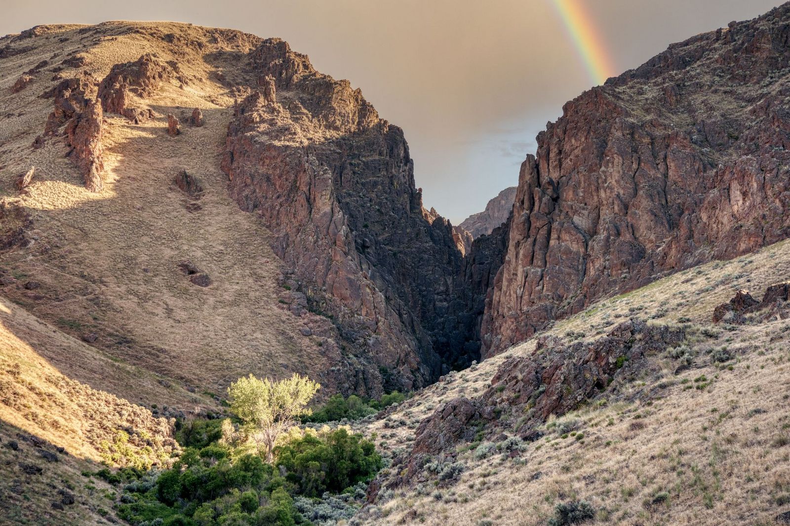
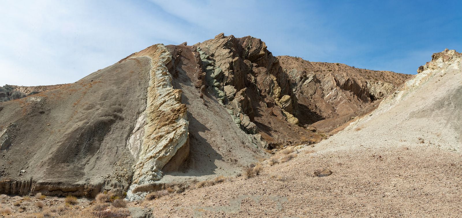
This is the trail I’d call the most visually distinctive in this entire San Bernardino County batch, folded, banded rock layers in colors that look almost artificial in the right light.
Trailhead access: a free BLM campground trailhead near Barstow
Rainbow Basin sits about 8 miles north of Barstow off Irwin Road. The Owl Canyon Trail begins at the Owl Canyon Campground, with free day-use access (camping itself runs $6/night if you stay over).
Difficulty, distance, and elevation gain through the badlands wash
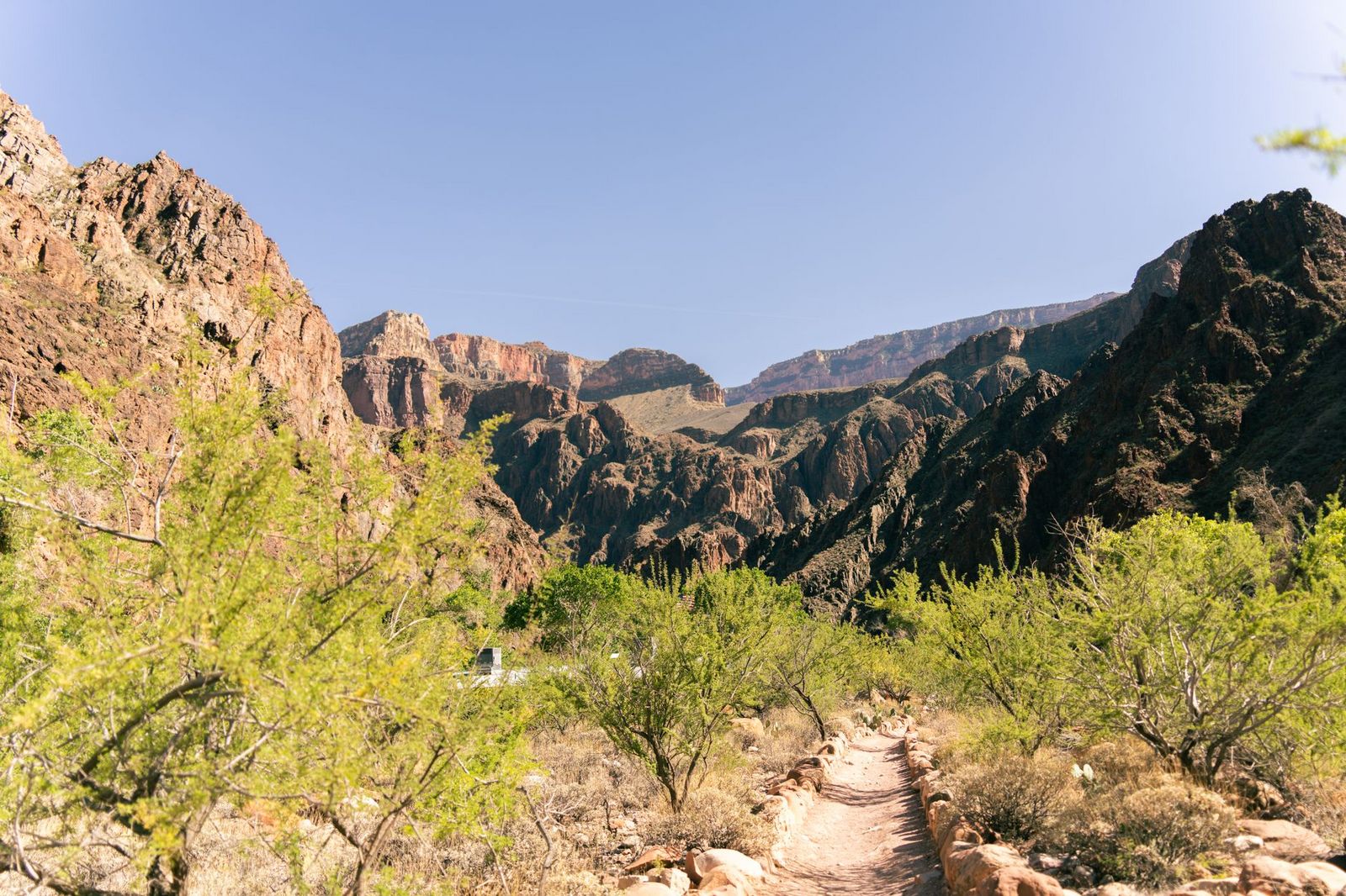
Figures vary by exact turnaround point: the official marked trail is about 2 miles round trip, with an option to scramble a five-foot dry fall into a slot canyon for another mile. AllTrails’ fuller listing cites 3.6 miles with 492 feet of gain for the complete route.
What you’ll see: multicolored sedimentary layers and a designated fossil-bearing landmark
Rainbow Basin’s folded red, green, and tan layers, known geologically as the Barstow Syncline, sit atop Miocene-era fossil beds more than 5 million years old. A permit is required to remove any fossils you find; the right move is to leave them in place and report the find to the BLM Barstow Field Office.
Best time to hike Owl Canyon: golden hour for the best color
Late afternoon light dramatically intensifies the banded rock colors here in a way flat midday sun doesn’t, this is as much a photography trail as a hiking one.
Calico Peak Trail: a steep climb above a real 1880s silver-mining town
Calico Ghost Town itself draws plenty of visitors who never leave the boardwalk. This trail is for the smaller number who want the view looking down on it instead.
Trailhead access: inside Calico Ghost Town Regional Park, entrance fee required
Calico charges an $8 adult admission ($5 for youth, free under 3) to enter the park, which includes the historic townsite and its surrounding trail network. Worth knowing: unlike the other four trails in this guide, “Calico Peak Trail” isn’t a heavily marked, individually named route on major trail databases, it’s one of many unmarked climbs on the BLM land surrounding the county park, so come prepared to navigate by general direction rather than a clearly signed trailhead.
Difficulty, distance, and elevation gain to the summit
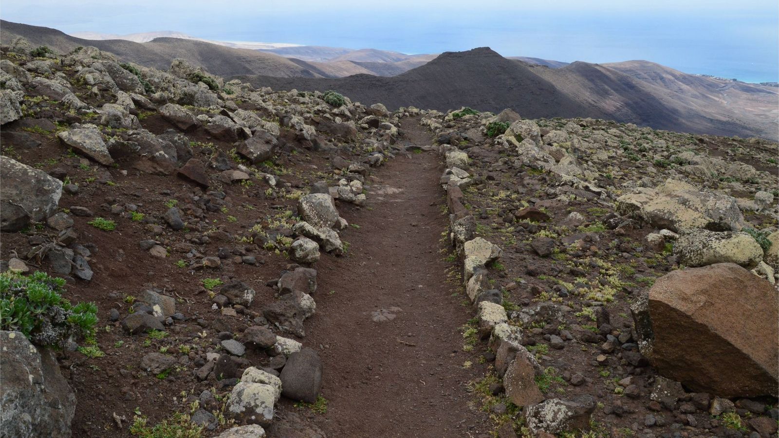
Expect roughly 2.5 miles round trip with about 700 feet of gain on a steep, exposed climb above the town, the most physically demanding trail in this guide relative to its short distance.
What you’ll see: an 1880s silver boomtown from above
Calico was founded in 1881, abandoned by the mid-1890s once silver prices collapsed, and restored in the 1950s by Walter Knott (yes, of Knott’s Berry Farm) to its 1880s appearance. It earned California Historical Landmark status and was proclaimed the state’s official Silver Rush Ghost Town in 2005.
Best time to hike Calico Peak: cooler months, weekday mornings
Beyond the usual desert heat logic, Calico draws heavy weekend tourist traffic for the ghost town itself, weekday mornings give you both cooler temperatures and a quieter trail.
Which of these five to hike first
If heat safety makes you nervous, Big Morongo Canyon’s shaded boardwalk is the gentlest introduction to this desert cluster. If you want the single most iconic stop, Amboy Crater is unmatched; just take the warnings seriously. And if you’re already road-tripping Route 66 or I-15 toward Las Vegas, Afton Canyon and Rainbow Basin both make genuinely worthwhile detours most people drive straight past.
If all this heat has you craving elevation instead, my San Bernardino Mountains guide is a genuine change of pace, pine forest, and a push up Southern California’s highest peak, a world away from the lava fields and badlands covered here.
Frequently asked questions
Are hiking trails open in San Bernardino County?
Yes, all five trails in this guide are currently open with no closures. Conditions can still change seasonally, especially with summer heat advisories, so check current conditions before a summer visit specifically.
Is Amboy Crater safe to hike in summer?
Not recommended. This trail has no shade and no water source, and summer temperatures regularly exceed 100°F on black lava rock that radiates additional heat. Hike this one in cooler months or very early morning only.
Is there water in the Mojave River at Afton Canyon?
Yes, nearly year-round, Afton Canyon is one of only a few places where the normally underground Mojave River flows above the surface.
Do you need a fee to hike at Calico Ghost Town?
Yes, an $8 adult park admission ($5 youth, free under 3) covers entry to both the historic townsite and the surrounding trail network, including the climb to Calico Peak.
What birds can you see at Big Morongo Canyon Preserve?
Over 240 recorded species use the preserve, including golden eagles, red-tailed hawks, hooded orioles, and several hummingbird species, particularly during spring and fall migration.
Is Rainbow Basin good for kids?
The main Owl Canyon Trail’s first stretch is manageable for older kids comfortable with uneven desert terrain, though the slot-canyon scramble section and lack of shade make it a better fit for families with some hiking experience than very young children.