The 5 Best Hiking Trails in Idyllwild, From a Fire Lookout to the Sane Way Up San Jacinto Peak
If Palm Springs is the desert-floor half of hiking San Jacinto, Idyllwild is the sane half. When exploring the hiking trails in Idyllwild, Devil’s Slide Trail is the way most people actually reach San Jacinto Peak’s summit, Tahquitz Peak gets you a staffed 1937 fire lookout for a fraction of the effort, and Ernie Maxwell Scenic Trail is the one you do on a day you don’t want to suffer at all. This mountain town sits at around 5,400 ft, tucked into pine and cedar forest, a genuinely different hiking experience from the desert floor 25 minutes down the hill, with its own permit system to match.
Disclosure: Please note that some of the links below are affiliate links and at no additional cost to you, I may earn a commission. Know that I only recommend hiking gear I personally stand behind; when you use my affiliate links, it helps me run this blog and keep all of this content free of charge for readers (like you).
This guide covers Devil’s Slide Trail, Suicide Rock, Ernie Maxwell Scenic Trail, Tahquitz Peak Fire Lookout, and Black Mountain, the five trails that define hiking out of Idyllwild. Four of them sit inside the San Jacinto Wilderness and require a free permit; I’ll tell you exactly which ones and where to get it.
If you’re working through the rest of the county, my complete guide to Riverside County’s hiking trails ties this into Palm Springs, Joshua Tree, and beyond, and if you already read my Palm Springs trails guide, this is the mellower way up the same mountain.
Key takeaways:
- The real way to the summit: Devil’s Slide Trail, roughly 15.5 to 16 miles round trip with about 4,400 ft of gain to San Jacinto Peak, a fraction of Cactus to Clouds’ suffering for the same view.
- Best granite payoff: Suicide Rock, a sheer outcrop popular with climbers, reached via the Deer Springs Trailhead.
- Easiest real hike here: Ernie Maxwell Scenic Trail, shaded, gently graded, and the only trail on this list you can comfortably do in summer.
- Best fire lookout experience: Tahquitz Peak, a staffed 1937 tower, the highest lookout in San Bernardino National Forest.
- The only fee-free, permit-free trail on this list is Black Mountain Trail, which is genuinely different from the other four, all of which sit inside the San Jacinto Wilderness.
- Permits matter here more than in Palm Springs. It is crucial to understand the exact difference between a trail that “needs a permit” and one that just “needs a fee,” as well as how these requirements are assigned and enforced.
Quick-glance comparison
| Trail | Distance (RT) | Elevation gain | Permit/fee | Best for |
|---|---|---|---|---|
| Devil’s Slide Trail (to San Jacinto Peak) | ~15.5–16 mi | ~4,400 ft | Wilderness permit + Adventure Pass | The real summit push |
| Suicide Rock Trail | 6.6–7.1 mi | ~1,800–2,300 ft | Wilderness permit + Adventure Pass | Granite views, climbers |
| Ernie Maxwell Scenic Trail | 4.6–5.2 mi | ~700–900 ft | None at Humber Park end (Adventure Pass only) | Easiest real hike |
| Tahquitz Peak Fire Lookout Trail | 8–8.8 mi | ~2,300–2,400 ft | Wilderness permit + Adventure Pass | Staffed historic lookout |
| Black Mountain Trail | ~7–8 mi | ~2,600–2,700 ft | None | Solitude, no permit hassle |
Devil’s Slide Trail: the real way up San Jacinto Peak
This is the trail almost everyone actually means when they say they hiked San Jacinto Peak from Idyllwild, and it’s the trail I’d point to if Cactus to Clouds sounded miserable but the same summit still appealed to you.
Trailhead access and parking at Humber Park (wilderness permit required)
Humber Park sits about two miles from downtown via Fern Valley Road, with paved parking and vault toilets. Still, you’ll need an Adventure Pass ($5/day or $30/year) to park there, plus a separate free self-issue wilderness permit, picked up at the Idyllwild Ranger Station or San Jacinto Ranger District office in town. Devil’s Slide specifically has a weekend quota from Memorial Day through Labor Day; currently in effect, get there early or have a backup trail ready.
Difficulty, distance, and elevation gain to San Jacinto Peak’s summit
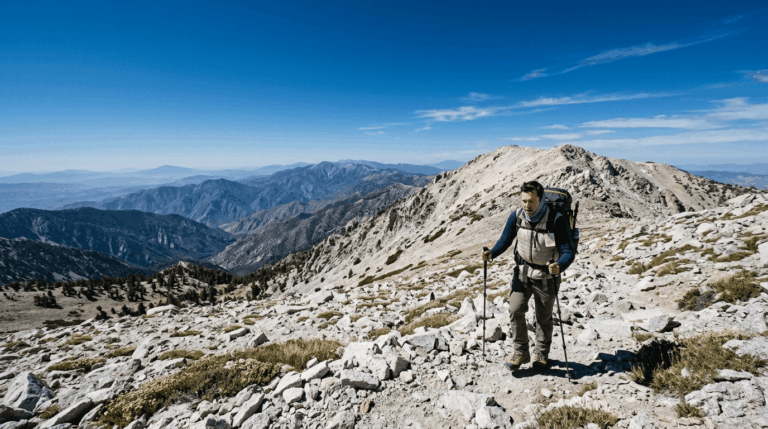
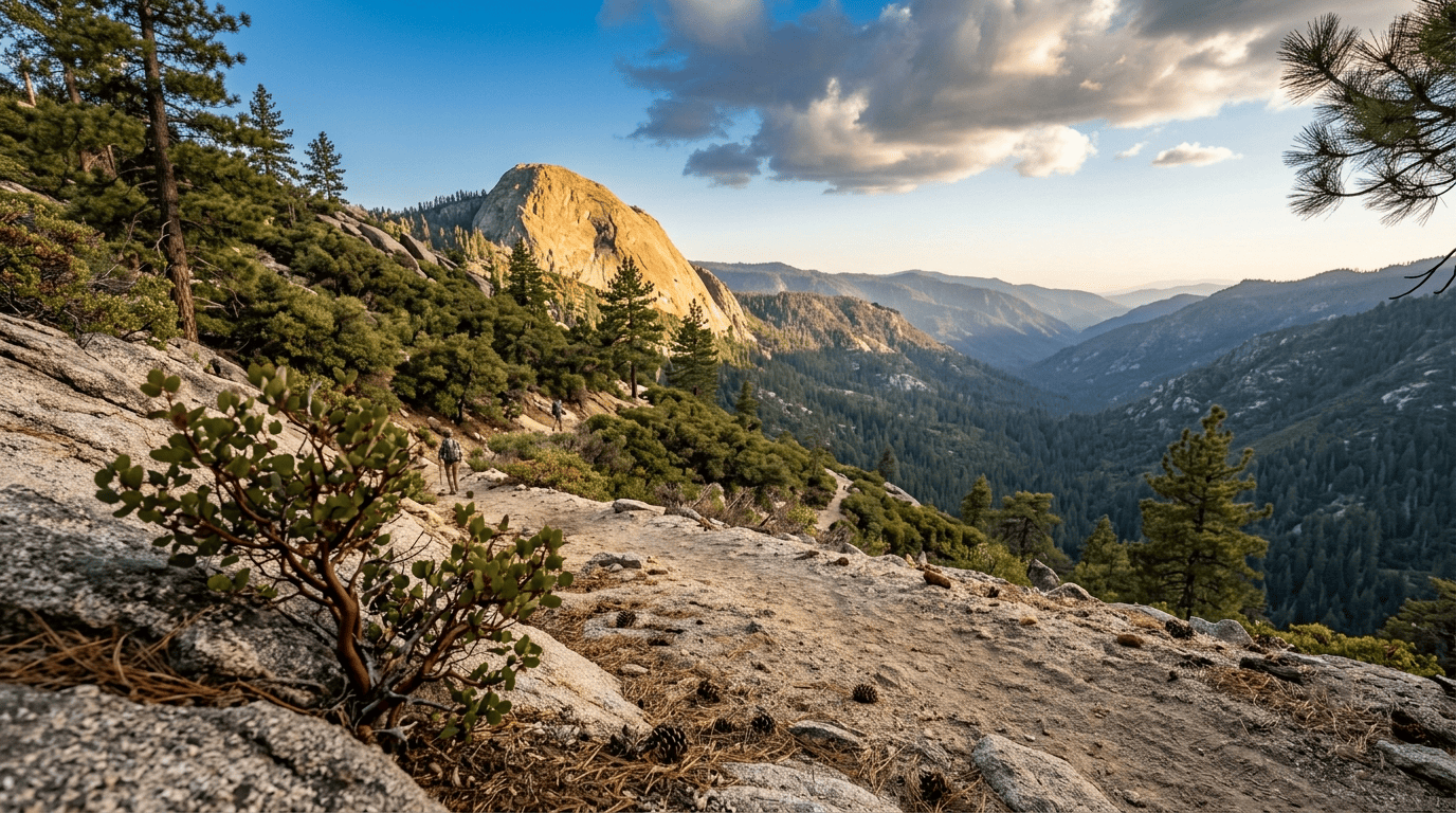
The named Devil’s Slide segment itself, from Humber Park to Saddle Junction, is a well-defined 5.2-mile round trip with about 1,700 ft of gain. But almost nobody stops there. Continue past Saddle Junction to the actual summit, and you’re looking at roughly 15.5 to 16 miles round trip with about 4,400 ft of total gain to the 10,834-ft peak a serious day, but nowhere near Cactus to Clouds’ 10,000-ft grind for the same view.
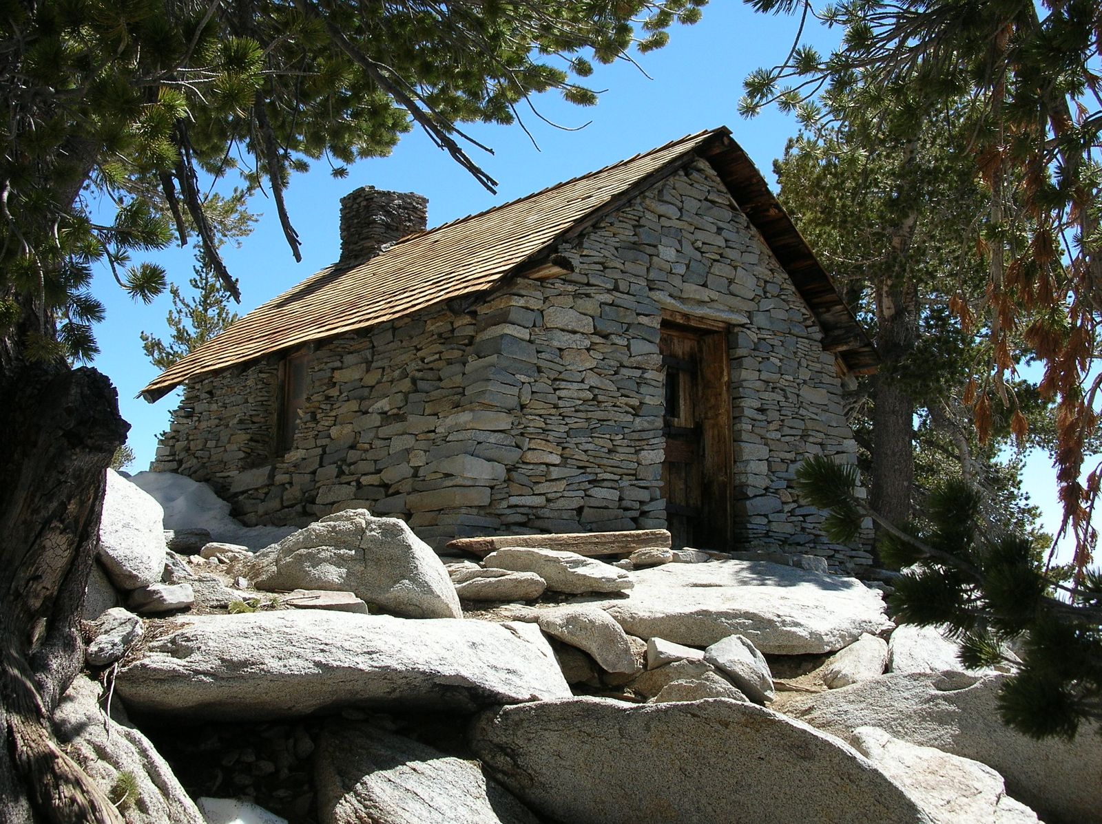
What you’ll see: the fire lookout-era summit hut and Coachella Valley below
The summit holds an old stone hut from the fire-lookout era, plus views that drop nearly 9,000 ft to the Coachella Valley floor, the same payoff my Palm Springs trails post covers from the desert-floor side. Along the way you’ll pass views of both Suicide Rock and Tahquitz Rock across the valley.
Best time to hike Devil’s Slide Trail: permit reservations fill fast
Summer weekend permits go quickly during the quota window, so plan or hike a weekday. Worth knowing right now: a mid-July 2026 conditions report has monsoonal moisture building afternoon clouds and rain over the high peaks this week, with a real lightning risk above treeline, not just a winter one. Start early enough to be off the exposed upper sections before early afternoon.
Suicide Rock Trail: the granite payoff at the Deer Springs Trailhead
Don’t let the name put you off; it has nothing to do with what it sounds like, and everything to do with a 19th-century romance novel that made this area a tourist draw.
Trailhead access and parking at the Deer Springs Trailhead
The Deer Springs Trail trailhead sits on Highway 243, about a mile north of Idyllwild, directly across from the Idyllwild Nature Center. You’ll need both an Adventure Pass for parking and a free wilderness permit, both available at the ranger station in town.
Difficulty, distance, and elevation gain to Suicide Rock
Sources cluster around 6.6 to 7.1 miles round trip with 1,800 to 2,300 ft of gain, climbing from about 5,600 ft to roughly 7,500 ft at the rock itself, moderate to strenuous, with the last mile being the steepest stretch.
What you’ll see: a sheer granite outcrop popular with rock climbers
Suicide Rock is a genuine climbing destination, not just a viewpoint; expect to see climbers on the face itself. From the top, you get panoramic views of Strawberry Valley and Idyllwild, plus a straight-on look at Tahquitz Rock across the ravine.
Best time to hike Suicide Rock: fall for cool air and clear views
The trail is open year-round and doubles as a snowshoe route in winter. Fall gives the clearest, haze-free views; summer works too, since the route climbs through enough forest cover to avoid Palm Springs-style heat exposure.
Ernie Maxwell Scenic Trail: the easiest real hike in Idyllwild
This is the trail I send first-timers and families to, and the only one on this list that doesn’t ask you to think about permits at all if you park at the right end.
Trailhead access and parking at Humber Park or Tahquitz View Drive
Start from Humber Park (Adventure Pass required) or the quieter southern end on Tahquitz View Drive, which has free street parking and no pass needed. Built in 1959 as a horse route around town and named for local conservationist Ernie Maxwell, this trail requires no wilderness day-hike permit either way a real exception among the trails in this post.
Difficulty, distance, and elevation gain on the Ernie Maxwell Scenic Trail
Figures vary slightly by source, but expect about 4.6 to 5.2 miles round trip with roughly 700 to 900 ft of elevation change, gentle, well-graded, and mostly shaded.
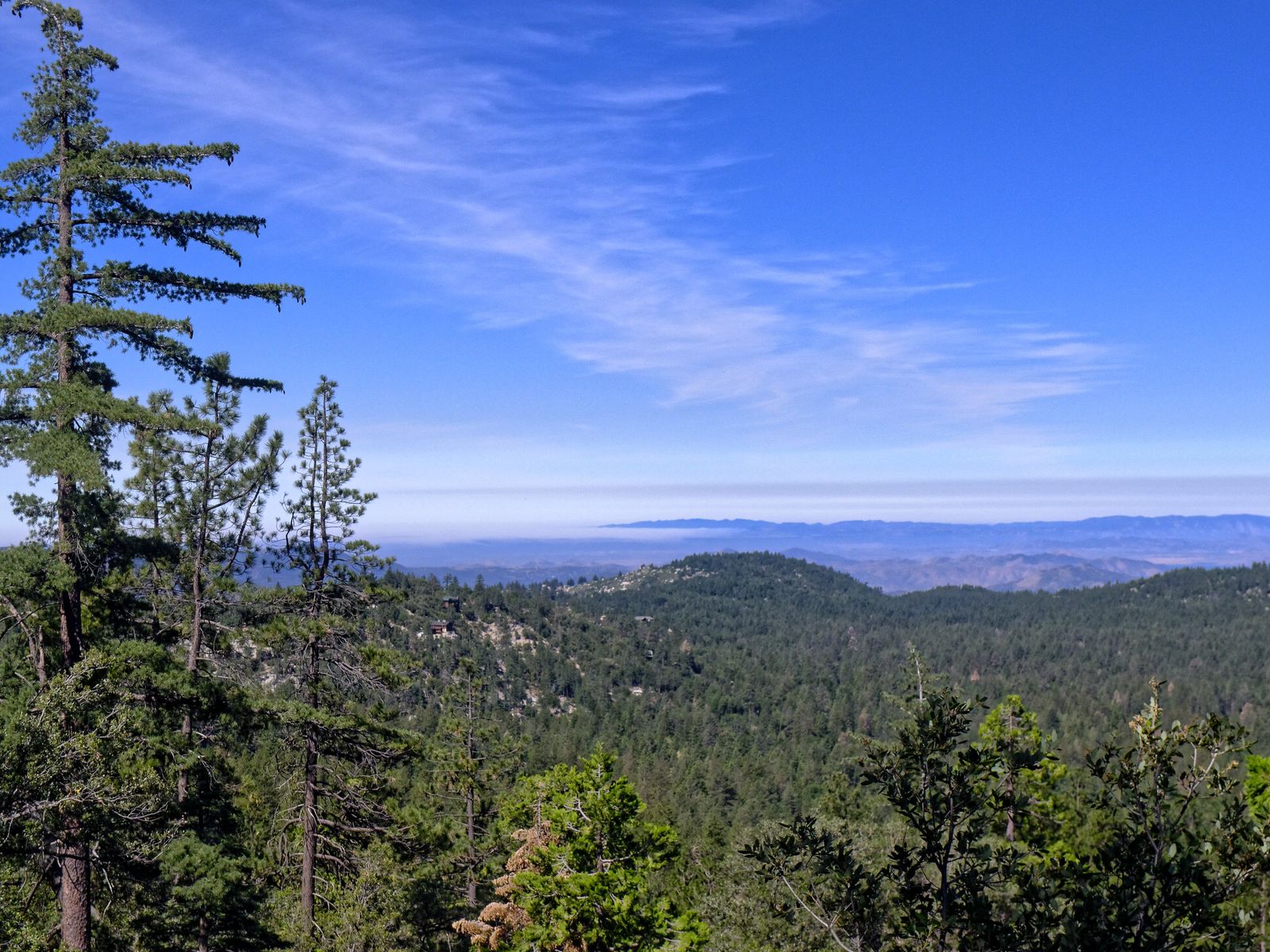
What you’ll see: a gentle forest path through Jeffrey pines and cedars
Dense Jeffrey pine, incense cedar, and oak line the route, with occasional peekaboo views of Suicide Rock and Tahquitz (Lily) Rock. Wildflowers are heavy in early summer, and small stream crossings break up the walk.
Best time to hike Ernie Maxwell Scenic Trail: a comfortable summer option
Consistent canopy and Idyllwild’s roughly 5,400-ft elevation make this genuinely comfortable even in July and August, when the desert-floor trails an hour away are best avoided entirely.
Tahquitz Peak Fire Lookout Trail: a staffed 1937 tower with panoramic views
If you want a real summit payoff without Devil’s Slide’s full commitment, this is the trade I’d make.
Trailhead access and parking at Humber Park via Saddle Junction (wilderness permit required)
Same trailhead and permit requirements as Devil’s Slide Adventure Pass for parking, free wilderness permit for the hike since you follow Devil’s Slide Trail to Saddle Junction before branching off on the Pacific Crest Trail toward the lookout.
Difficulty, distance, and elevation gain to the Tahquitz Peak fire lookout
Budget 8 to 8.8 miles round trip with roughly 2,300 to 2,400 ft of gain to the 8,846-ft summit demanding, but a meaningfully shorter day than the full push to San Jacinto Peak.
What you’ll see: a staffed historic fire lookout tower with panoramic views
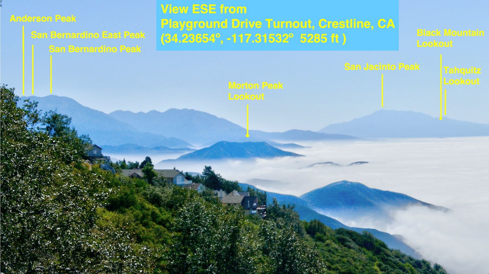
Built in 1937 and the highest active lookout in San Bernardino National Forest, this tower is staffed seven days a week during fire season by volunteer Lookout Hosts a rare chance to actually talk to someone doing real fire-watch work. Views stretch to the Salton Sea, and you’ll pass a visible burn scar from the 2018 Cranston Fire on the way up.
Best time to hike Tahquitz Peak: the lookout is staffed through fire season
May through October is your staffed window; outside that, the tower’s usually empty but the hike itself is still worthwhile. Same quota system and permit rules as Devil’s Slide apply here too.
Black Mountain Trail: the quiet alternative with no permit hassle
I’ll say this plainly: if the permit system on the other four trails sounds like a hassle, this is your out.
Trailhead access and parking at the Black Mountain Trailhead, Idyllwild
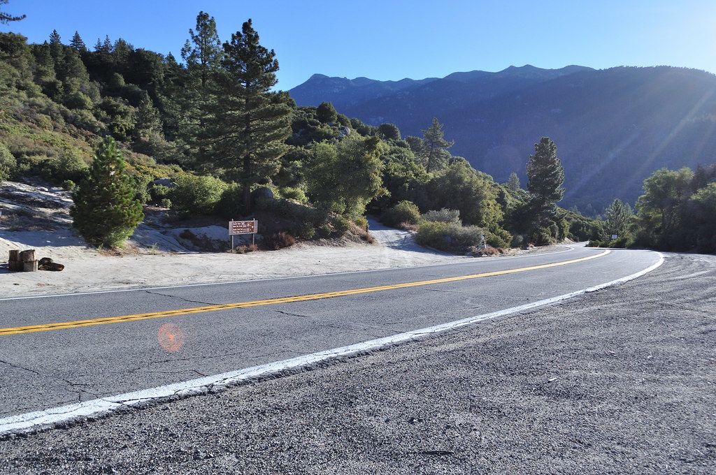
The trailhead sits on Highway 243, about 1.3 miles south of the Vista Grande Fire Station, a 15 to 20-minute drive north of downtown, not directly in the village itself. Confirmed directly on its Forest Service page: no fee, no wilderness permit required at all.
Difficulty, distance, and elevation gain on the Black Mountain Trail
Expect roughly 7 to 8 miles round trip with about 2,600 to 2,700 ft of gain, climbing from chaparral at about 5,140 ft to the lookout at 7,772 ft a genuinely strenuous, sustained climb despite the permit-free simplicity.
What you’ll see: old-growth forest and a rarely crowded summit
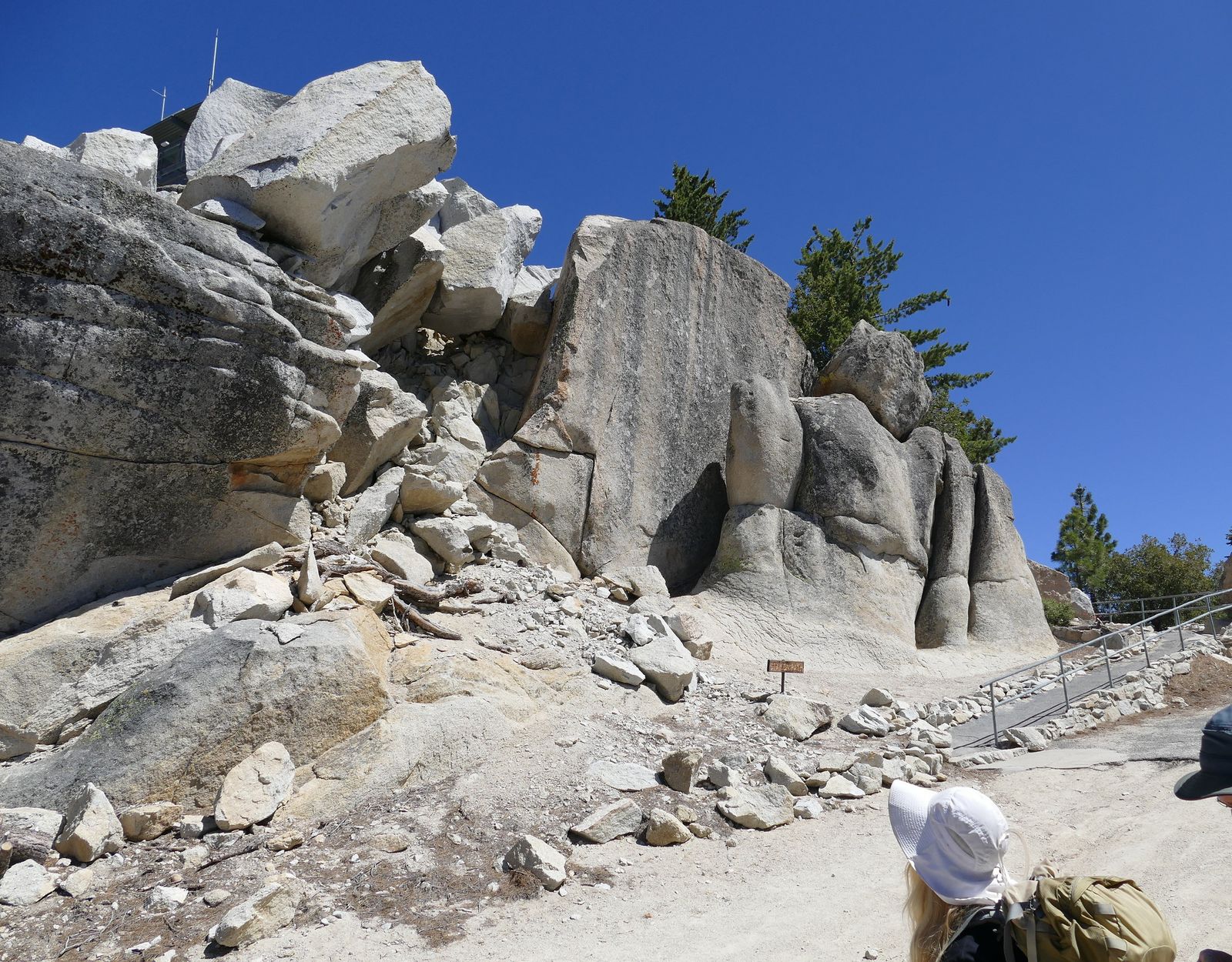
The upper trail passes through a research natural area and old-growth conifer forest, ending at a lookout tower (staffed by volunteers May through October) with sweeping views toward the San Bernardino Mountains and Banning Pass.
Best time to hike Black Mountain: a quiet alternative to San Jacinto Peak
Any season, the road access allows work, though summer keeps the forest shade comfortable. If solitude is the goal, this closes out the post as the clear pick for the emptiest trailhead by a wide margin.
The trail I’d actually start with
If you’ve only got one day in Idyllwild, do Ernie Maxwell Scenic Trail first; it teaches you the shape of hiking here (forest, elevation, genuine quiet) without a permit to plan around. From there, Suicide Rock and Tahquitz Peak are the natural next steps once you want real elevation, and Devil’s Slide to the summit is the goal once you’re ready to commit a full day. Black Mountain sits apart from all of it: no permit, no crowd, and honestly underrated for exactly that reason.
These trails are the higher-elevation counterpart to the Coachella Valley-floor trails in the Santa Rosa and San Jacinto Mountains National Monument. My guide to those trails covers that lower, warmer side of the same range next. And since afternoon thunderstorms are a real hazard on these exposed granite summits in summer, my breakdowns of weather hazards on California trails are worth a read before you commit to a full Devil’s Slide day.
Frequently asked questions
Are hiking trails open in Idyllwild?
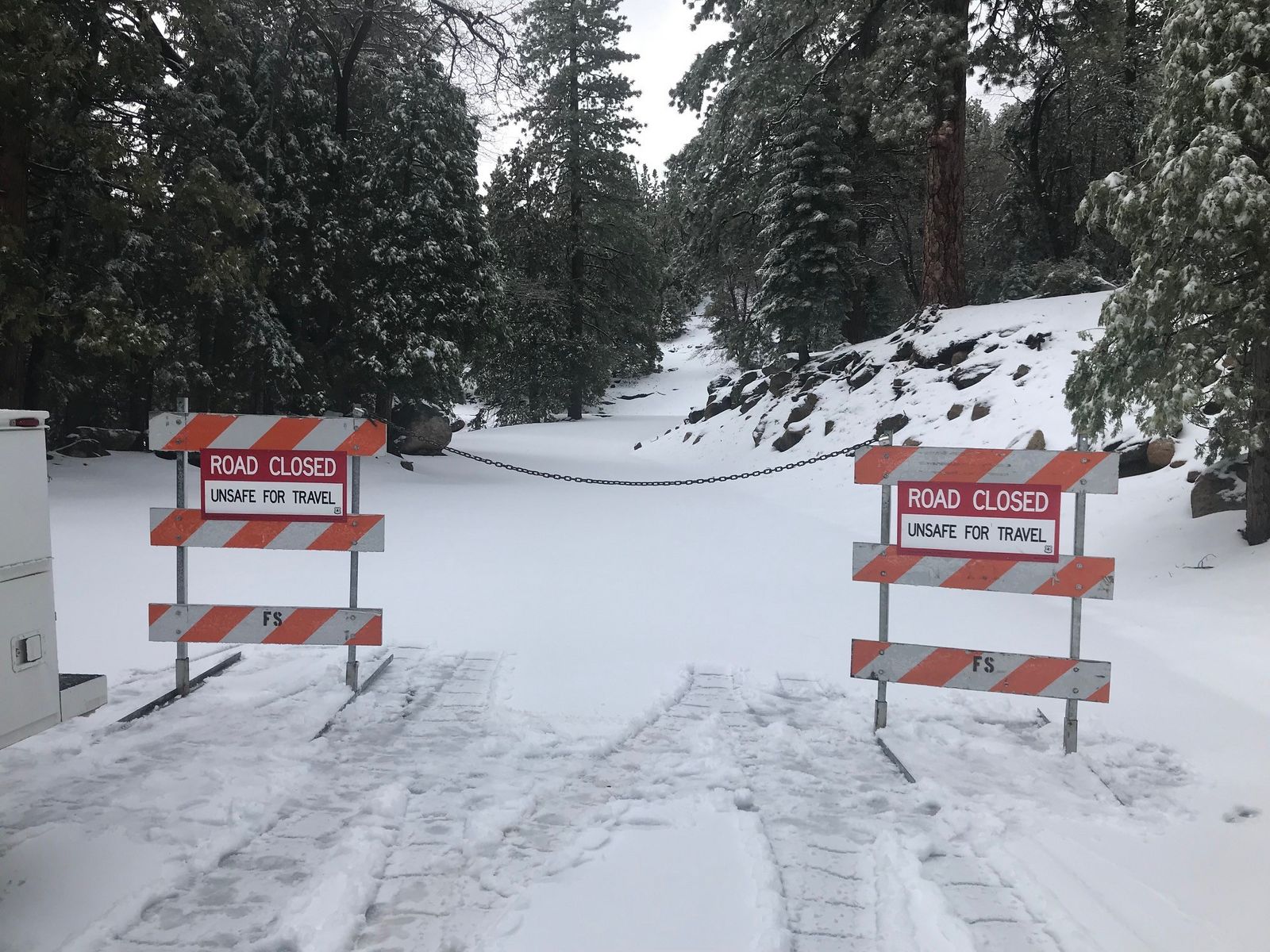
Yes, year-round, though access to some trailheads (like Black Mountain Road) closes seasonally with snow, and Devil’s Slide has a summer weekend permit quota. Check current conditions with the Idyllwild Ranger Station before a winter or early-spring visit.
Do you need a wilderness permit to hike in Idyllwild?
For Devil’s Slide Trail, Suicide Rock Trail, Ernie Maxwell Scenic Trail, and Tahquitz Peak Fire Lookout Trail, yes, a free self-issue day-hike permit is available at the Idyllwild Ranger Station or San Jacinto Ranger District office. Black Mountain Trail is the exception: no permit, no fee at all.
Is Devil’s Slide Trail the same as the Palm Springs Tram route to San Jacinto Peak?
No. They’re two different approaches to the same summit. Devil’s Slide starts from Humber Park in Idyllwild at about 6,400 ft; the tram route starts from the Palm Springs Aerial Tramway’s mountain station at about 8,400 ft, making it a shorter climb from a very different starting point.
Is Suicide Rock dangerous despite its name?
No more than any moderate granite-summit hike. The name comes from 19th-century tourist-era folklore tied to the novel “Ramona,” not any actual history of danger on the trail itself.
Does it snow in Idyllwild in winter?
Yes, regularly. At around 5,400 ft, Idyllwild gets real winter snow, and access roads like Black Mountain Road typically close from November through May. Trails at higher elevation can hold snow and ice well into spring.
What is the easiest hike in Idyllwild?
Ernie Maxwell Scenic Trail, by a clear margin, is gently graded, mostly shaded, and the only trail in this post genuinely comfortable for families or a summer afternoon.