The 5 Best Hiking Trails in Santa Rosa and San Jacinto Mountains, From a Desert Warm-Up to a Historic Mine
If Palm Springs and Idyllwild are the two ends of San Jacinto Peak, this guide covers the hiking trails in Santa Rosa foothills and Coachella Valley floor that most visitors drive straight past on their way to the tram or the mountains.
Disclosure: Please note that some of the links below are affiliate links and at no additional cost to you, I may earn a commission. Know that I only recommend hiking gear I personally stand behind; when you use my affiliate links, it helps me run this blog and keep all of this content free of charge for readers (like you).
In short: start with Randall Henderson Loop as a genuine warm-up, add McCallum Trail if a flat oasis walk with a real geology lesson sounds good, and save Art Smith for the day you actually want a workout. None of these trails touch San Jacinto Peak’s summit itself, which is covered in my Palm Springs and Idyllwild guides. This is the lower, warmer, foothill side of the same mountain range.
Five trails anchor this guide: Randall Henderson Loop and Art Smith Trail from the Monument’s main visitor center on Highway 74, McCallum Trail from the separate Coachella Valley Preserve, Maynard Mine Trail (which, despite its usual grouping with this Monument, actually launches from a different fee area entirely more on that below), and Ramona Trail up near Garner Valley. If you’re working through the rest of the county, my complete Riverside County guide ties all of this together.
Key takeaways:
- Best warm-up: Randall Henderson Loop a genuine desert loop of about 2.4 to 2.7 miles, not the quick stroll it’s sometimes made out to be.
- Longest and toughest: Art Smith Trail 8.3 miles one-way to its far end, though most hikers pick a shorter, adjustable turnaround at one of the fan palm groves.
- Best flat oasis payoff: McCallum Trail about 2 miles round trip to McCallum Pond, sitting directly on the San Andreas Fault.
- The one with an unexpected fee: Maynard Mine Trail. Despite sitting within this Monument’s broader footprint, it actually starts inside the fee-based Indian Canyons, not the free visitor center.
- Coolest profile in this guide: Ramona Trail climbing into pinyon pine forest near Garner Valley, genuinely milder than the desert-floor trails below it.
- Most of this Monument is free to visit: there is no entrance fee at the main visitor center or Coachella Valley Preserve.
Quick-glance comparison
| Trail | Distance (RT) | Elevation gain | Fee | Best for |
|---|---|---|---|---|
| Randall Henderson Loop | 2.4–2.7 mi | 400–450 ft | Free | Genuine desert warm-up |
| Art Smith Trail | Up to ~16.6 mi (adjustable) | 1,400–1,465 ft one-way | Free | Longest, toughest hike here |
| McCallum Trail | ~2 mi | ~100–110 ft | Free | Flat oasis, fault-line geology |
| Maynard Mine Trail | 5.1–6 mi | ~2,000–2,300 ft | Indian Canyons fee | WWII mine history |
| Ramona Trail | 6–8 mi | ~1,500–1,624 ft | Free | Cooler pinyon-pine climb |
Randall Henderson Loop Trail: the real warm-up, not a quick stroll
This is the trail I send anyone starting their day at the Monument’s visitor center, genuine desert terrain, but nothing that should scare off a first-timer.
Trailhead access and parking at the Santa Rosa and San Jacinto Mountains Visitor Center
The visitor center sits on Highway 74, about 3.5 miles south of Highway 111 near Palm Desert, with free parking, staffed Thursday through Monday, 8 a.m. to 4 p.m. (closed on federal holidays). No entrance fee anywhere at this trailhead.
Difficulty, distance, and elevation gain on the Randall Henderson Loop
The trailhead actually branches into three connected loops: a short Wash Loop (about 1.1 miles, ~200 ft gain), a middle Cholla Loop, and the full Canyon Loop most people mean when they say “Randall Henderson Loop”: about 2.4 to 2.7 miles round trip with 400 to 450 ft of gain. Genuinely moderate, not the five-minute stroll it’s sometimes billed as.
What you’ll see: a short desert loop with interpretive signage
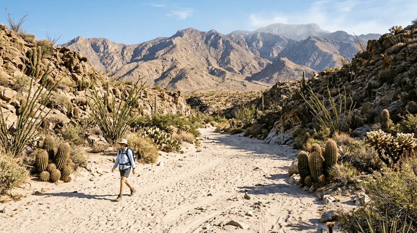
Sandy washes give way to rocky canyon walls lined with barrel cactus, ocotillo, and cholla; real Peninsular bighorn sheep and desert tortoise habitat. (The fully numbered, more strictly interpretive nature walk sits separately, right next to the visitor center, on the short Ed Hastey Garden Trail worth combining with this loop, not a substitute for it.)
Best time to hike Randall Henderson Loop: great warm-up before longer trails
Year-round terrain, but this is genuinely the trail to do first if you’re also tackling Art Smith or Maynard Mine on the same trip. It tells you exactly what kind of exposure and footing to expect on the harder trails in this guide.
Art Smith Trail: the longest, toughest hike in this guide
If Randall Henderson is the warm-up, this is the main event, a real commitment, not a casual add-on.
Trailhead access and parking on Highway 74, south of Palm Desert
A roadside parking lot on Highway 74, about 4 miles south of Highway 111, directly across from the Monument visitor center, a different pullout than the Randall Henderson trailhead, though close by. Free, no reservation.
Difficulty, distance, and elevation gain on the Art Smith Trail
The Forest Service’s own numbers: 8.3 miles one-way to the trail’s junction with Dunn Road, gaining roughly 1,400 to 1,465 ft (cumulative gain runs higher, up to 2,600-plus feet, once you count the rolling dips along the way). Almost nobody hikes the full 16.6-mile round trip; most pick an adjustable turnaround, commonly the first fan palm oasis at around 4 miles round trip, or further if you’re feeling ambitious.
What you’ll see: spring wildflowers and a remote fan palm grove
Brittlebush, barrel cactus, and beavertail cactus bloom heavily along the lower trail in spring, and Peninsular bighorn sheep sightings are genuinely common. The trail threads hidden canyons and remote palm groves that feel far more isolated than their proximity to Palm Desert suggests. Dogs aren’t allowed, specifically to protect the bighorn sheep population.
Best time to hike the Art Smith Trail: spring bloom season
Best used September through May; fully exposed with no real shade, so this is a genuinely poor summer choice regardless of turnaround distance.
McCallum Trail: a flat oasis payoff on the San Andreas Fault
This is the easiest genuine oasis payoff in the whole Riverside County series so far, a different agency and trailhead than the other four trails in this guide.
Trailhead access and parking at the Coachella Valley Preserve Visitor Center
The Coachella Valley Preserve, also called Thousand Palms Oasis Preserve, sits at 29200 Thousand Palms Canyon Rd, a separate preserve managed by BLM and the Center for Natural Lands Management, with its own visitor center, distinct from the Monument’s main hub. Free parking, no entrance fee.
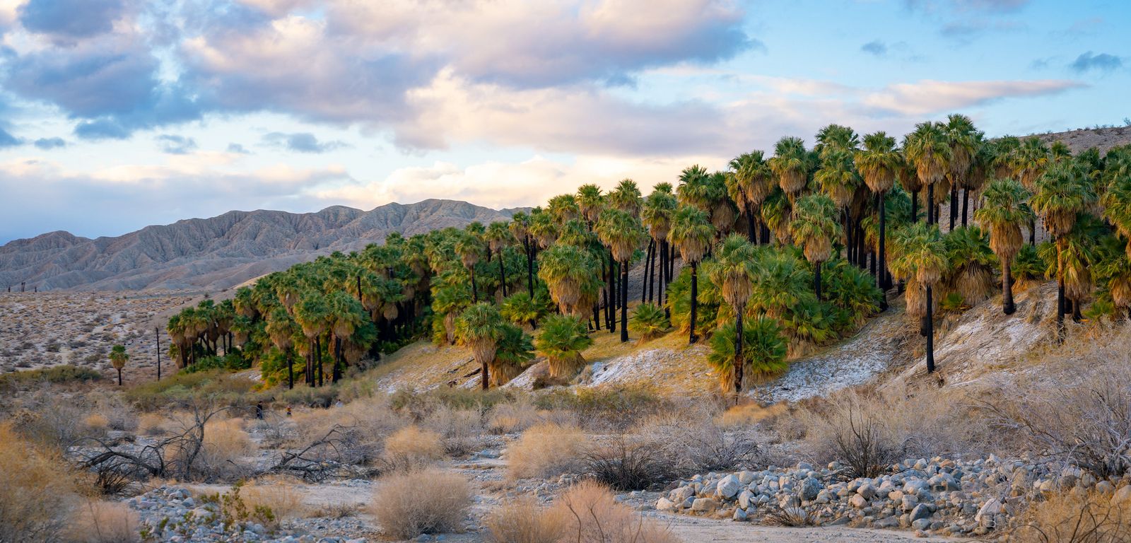
Difficulty, distance, and elevation gain to McCallum Pond
Sources land between 1.9 and 2.5 miles round trip with roughly 100 to 110 ft of gain, flat, sandy, and genuinely easy, though the loose sand underfoot makes it work harder than the numbers suggest.
What you’ll see: a palm oasis along the San Andreas Fault
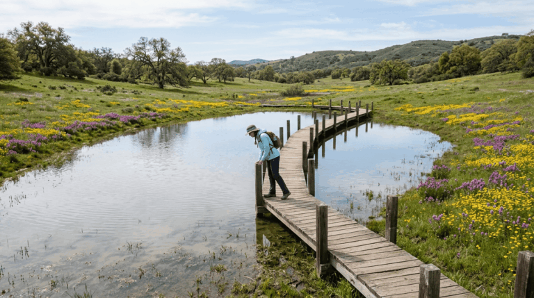
The trail crosses a boardwalk through Thousand Palms Oasis before reaching McCallum Pond (also known as Simone Pond) in McCallum Grove, fed by groundwater forced up along the Mission Creek strand of the San Andreas Fault, visible as a literal line of green vegetation across the desert floor. Endangered desert pupfish live in the preserve’s ponds, and numbered trailside stops explain the fault, the fan palms, and the pupfish along the way.
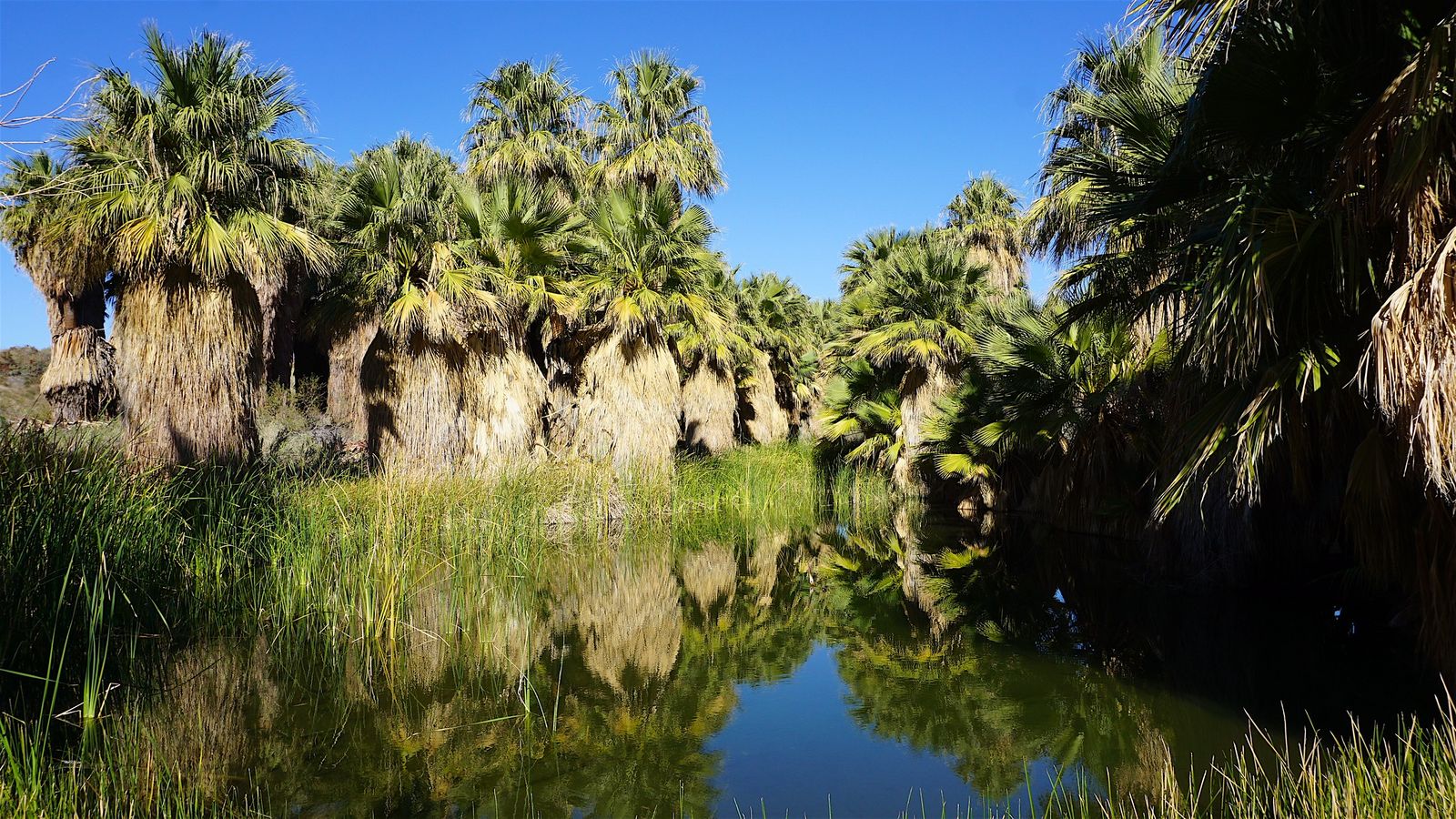
Best time to hike the McCallum Trail: cool mornings year-round
October through May for the most comfortable conditions, though the flat, low-effort profile makes even a summer morning workable if you’re moving early. Dogs aren’t allowed.
Maynard Mine Trail: the one with a fee you won’t expect
This is the trail that breaks the pattern of this guide and is worth reading closely if you’re planning to combine it with anything else here.
Trailhead access and parking (actually inside the Indian Canyons, not the Monument Visitor Center)
Despite usually being grouped with this Monument’s trail system, Maynard Mine Trail actually starts at Andreas Canyon, inside the Indian Canyons, Agua Caliente Band of Cahuilla Indians tribal land, the same fee area covered in my Palm Springs trails guide. That means the standard Indian Canyons day-use fee applies here, not free Monument access, and the same seasonal hours (Friday–Sunday only, July 5 through September 30) covered in that guide apply to this trailhead too.
Difficulty, distance, and elevation gain to the historic Maynard Mine
Expect 5.1 to 6 miles round trip with roughly 2,000 to 2,300 ft of gain, most of it front-loaded into the first 2.5 miles, a steep, rocky, switchback-heavy climb with real elevation to show for the distance.
What you’ll see: abandoned mine ruins and foothill desert views
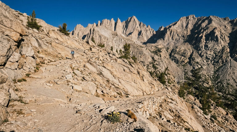
This is a WWII-era tungsten mine, not gold dug by Palm Springs search-and-rescue founder Jim Maynard, who hauled ore down the mountain by wheelbarrow to support the wartime tungsten demand. A collapsed shaft and a plaque honoring Maynard mark the site, with sweeping views over Palm Springs and the Coachella Valley floor on the way up.
Best time to hike Maynard Mine Trail: cooler months for the exposed climb
September through May, with winter and early spring delivering the best snow-capped-mountain views on the Desert Divide. No shade anywhere on the exposed switchbacks.
Ramona Trail: a cooler climb through pinyon pine near Garner Valley
The odd one out geographically is up near Garner Valley rather than down on the Coachella Valley floor, and genuinely the coolest trail in this entire guide.
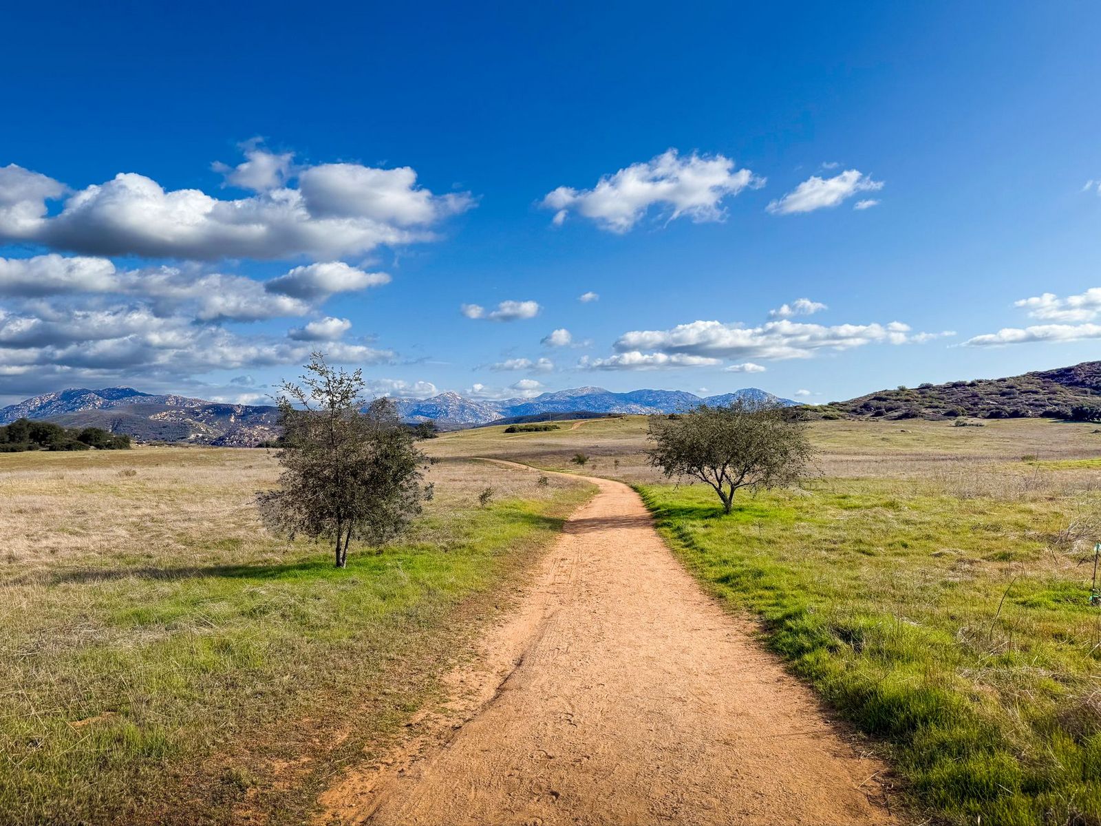
Trailhead access and parking on Highway 74, near Garner Valley
Not Dunn Road, the actual Ramona Trail trailhead sits on Highway 74, about 3.5 miles south of Lake Hemet, considerably higher in elevation (starting around 4,400 ft) than the four Coachella Valley-floor trails above.
Difficulty, distance, and elevation gain on the Ramona Trail
The Forest Service lists the named trail itself as 3 miles one-way (6 miles round trip), climbing about 1,500 ft to Toolbox Spring on Thomas Mountain Road; other recorded routes that extend further run closer to 8 miles round trip with about 1,600 ft of gain, depending on exactly where you start and stop.
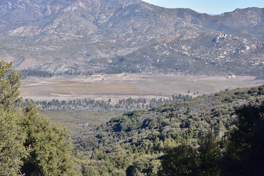
What you’ll see: a quiet climb through pinyon pine and chaparral
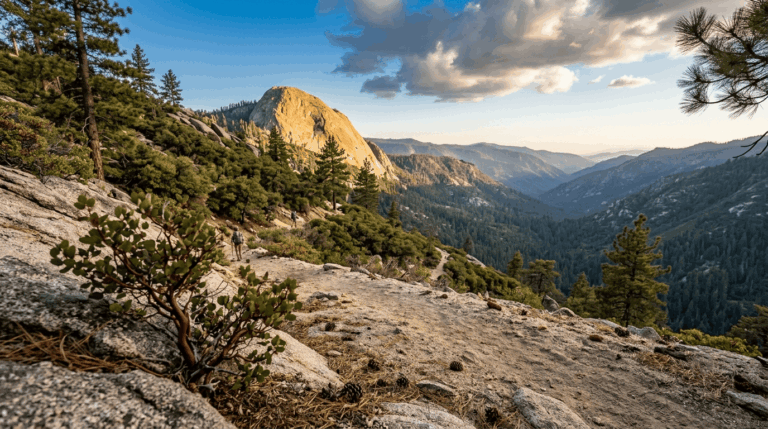
The trail climbs out of high-desert chaparral into a genuine stand of pinyon pine, with views opening up over Garner Valley as you gain elevation, a real vegetation shift that most of this guide’s lower, hotter trails don’t offer.
Best time to hike the Ramona Trail: a cooler alternative to the desert floor trails
Because it starts nearly a mile higher than Randall Henderson or McCallum, this trail stays comfortable well into the warmer months when the valley-floor trails below have already become unsafe.
The trail I’d actually start with
If you’ve only got one stop in this stretch of the Monument, make it Randall Henderson Loop; it’s genuinely representative of the terrain without the commitment of Art Smith or the fee surprise of Maynard Mine.
From there, McCallum Trail is the easy oasis add-on, and Art Smith is the trail to save for a morning you can commit to fully. Maynard Mine deserves its own trip specifically because of its different fee and hours; don’t assume it’s covered by the same free access as the rest of this guide.
If cooler, forested terrain sounds better than another desert-floor trail, Ramona connects toward the same San Jacinto Wilderness backcountry covered in my Idyllwild trails guide, with a genuinely different climate and the same mountain range.
Since heat exposure is the recurring hazard across four of these five trails, my breakdown of hiking safety on California trails is worth a read before committing to Art Smith or Maynard Mine in anything but the cooler months. For the wine-country side of the county next, my guide to Temecula’s best trails covers genuinely different terrain again.
Frequently asked questions
What is the difference between the Santa Rosa Mountains and San Jacinto Mountains?
They’re two distinct ranges combined under one National Monument. The San Jacinto Mountains sit to the north, home to San Jacinto Peak and Idyllwild; the Santa Rosa Mountains sit to the south, lower and drier, extending toward Anza-Borrego. Four of this post’s five trails sit in the Santa Rosa foothills; Ramona Trail climbs toward the San Jacinto side near Garner Valley.
Is the Santa Rosa and San Jacinto Mountains National Monument free to visit?
Yes, for the most part, the main visitor center, Randall Henderson Loop, Art Smith Trail, Ramona Trail, and the Coachella Valley Preserve all have free access with no entrance fee. The one exception in this post is Maynard Mine Trail, which actually starts inside the fee-based Indian Canyons.
Are dogs allowed on Art Smith Trail?
No. Dogs are specifically prohibited to protect the endangered Peninsular bighorn sheep population that depends on this habitat.
Is the McCallum Trail good for beginners?
Yes, it’s one of the easiest genuine oasis hikes in the entire Riverside County series, flat and short at about 2 miles round trip, though the sandy footing takes slightly more effort than the mileage suggests.
What wildflowers bloom on the Art Smith Trail?
Brittlebush, barrel cactus, and beavertail cactus all bloom heavily along the lower trail, typically peaking in spring after a wet winter.
Is Randall Henderson Loop wheelchair accessible?
The main loop itself isn’t; it’s a genuine desert trail with sandy washes and real elevation change. For fully accessible interpretive access at the same trailhead, the separate, shorter Ed Hastey Garden Trail right next to the visitor center is the better option.