Best Hiking Trails in Inyo County, California
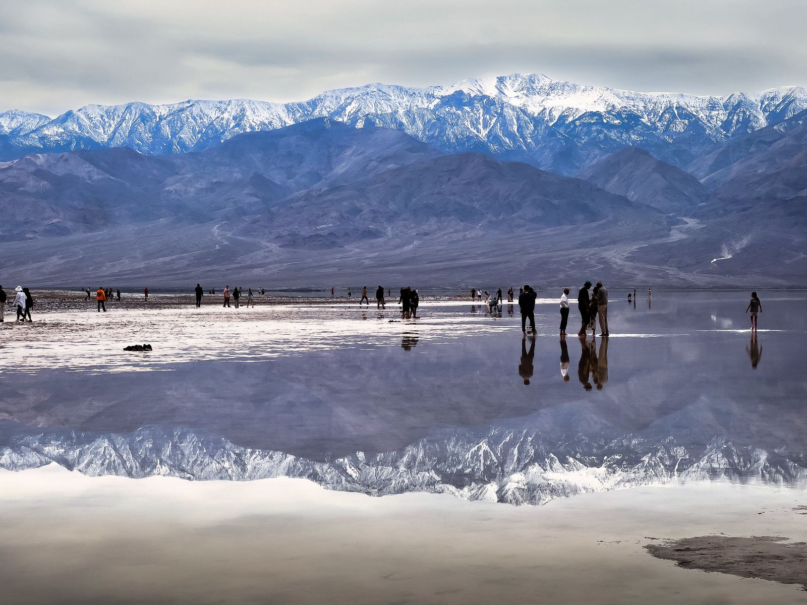
Inyo County holds the greatest vertical range of any county in the United States, from Badwater Basin at 282 ft below sea level to Mount Whitney’s 14,505-ft summit, the highest point in the contiguous 48 states. Both sit within about 85 miles of each other, a stretch of geography with no real equivalent anywhere else in the country. In between, the hiking trails in Inyo cover alpine lake basins near Bishop, the oldest living trees on Earth in the White Mountains, and some of the most photographed desert rock formations in film history.
Disclosure: Please note that some of the links below are affiliate links and at no additional cost to you, I may earn a commission. Know that I only recommend hiking gear I personally stand behind; when you use my affiliate links, it helps me run this blog and keep all of this content free of charge for readers (like you).
Key takeaways
- Inyo County spans four hiking zones: Mount Whitney and Lone Pine, the Bishop and White Mountains area, Death Valley’s eastern access, and the Owens Valley floor.
- A Mount Whitney permit is required year-round, not just during the May 1, November 1 quota season. The lottery runs February 1 through March 1, with results posted March 15.
- You can hike to Lone Pine Lake, about 6 miles round trip, without a Whitney permit at all; the permit zone begins above it, making this a genuinely good acclimatization or backup hike.
- May and June carry the highest accident and fatality rates of the entire Whitney permit season, per Inyo County Search and Rescue, largely due to lingering snow and ice on a trail that’s rated non-technical only once it’s clear.
- The Methuselah Tree’s exact location in the Ancient Bristlecone Pine Forest is deliberately unmarked to protect what may be the oldest living tree on Earth, at over 4,800 years old.
Related
- Death Valley National Park Map & Hiking Planning Guide
- Mount Whitney Permits & Lottery Guide
- 5 Best Hiking Trails Near Mount Whitney, Inyo County
- 5 Best Hiking Trails in Death Valley, Inyo County
Why Inyo County has California’s most extreme range of hiking terrain
No other county in the country pairs the lowest point in North America with the highest peak in the lower 48 so close together. That range alone makes Inyo County a genuinely unique hiking base: desert floor, alpine granite, and ancient high-elevation forest all within a couple of hours’ drive of each other.
Inyo County’s four hiking zones
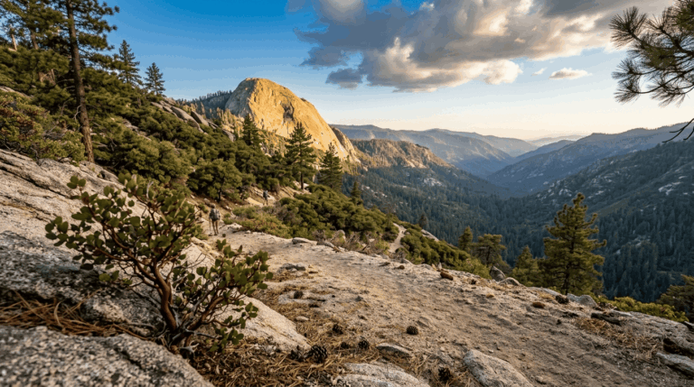
Mount Whitney and Lone Pine anchor the county’s signature high-Sierra hiking, including Whitney Portal and the Alabama Hills’ desert rock formations the area most visitors mean when they say they’re headed to Inyo County at all.
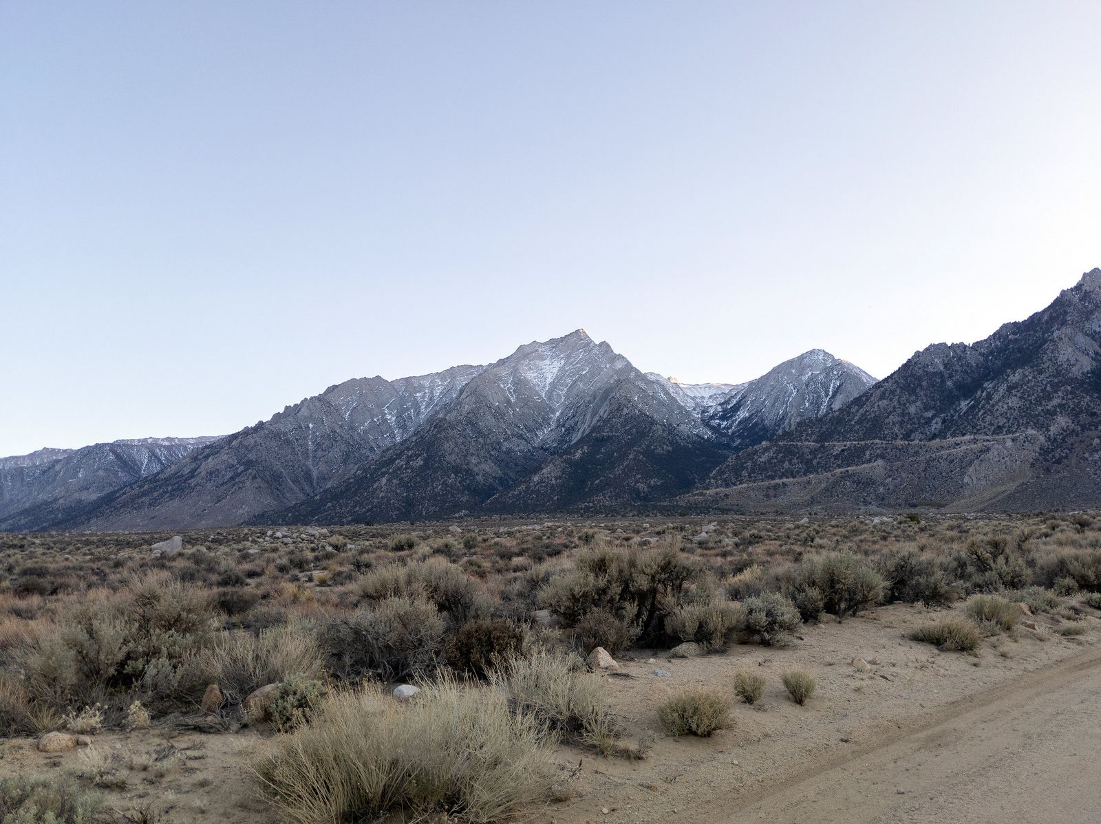
Bishop and the White Mountains hold Bishop Creek Canyon’s alpine lakes along with the Ancient Bristlecone Pine Forest to the east, a genuinely different landscape than the granite peaks surrounding Whitney.
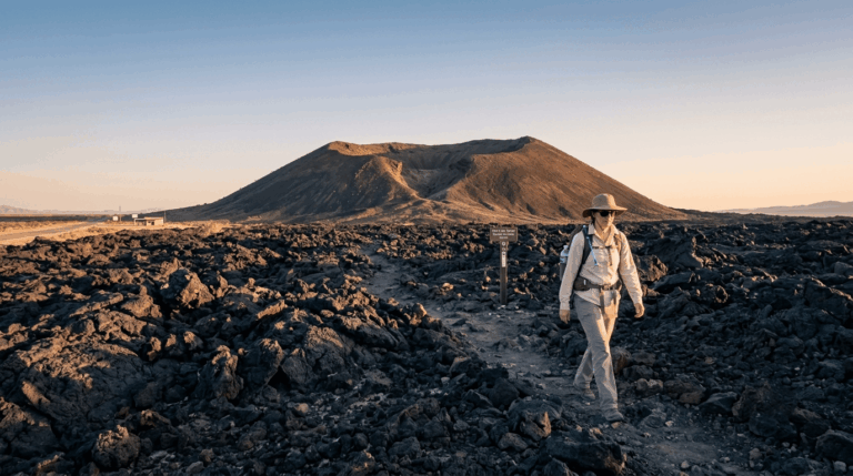
Death Valley National Park‘s eastern access Furnace Creek, Badwater, and Mosaic Canyon from the Stovepipe Wells side falls within Inyo County too, covered in full in our dedicated Death Valley guide.
The Owens Valley floor rounds things out with gentler river and rail-history trails between the mountain ranges on either side, a good option on a day when neither high-Sierra elevation nor desert heat sounds appealing.
Best hiking trails near Mount Whitney and Lone Pine, Inyo County
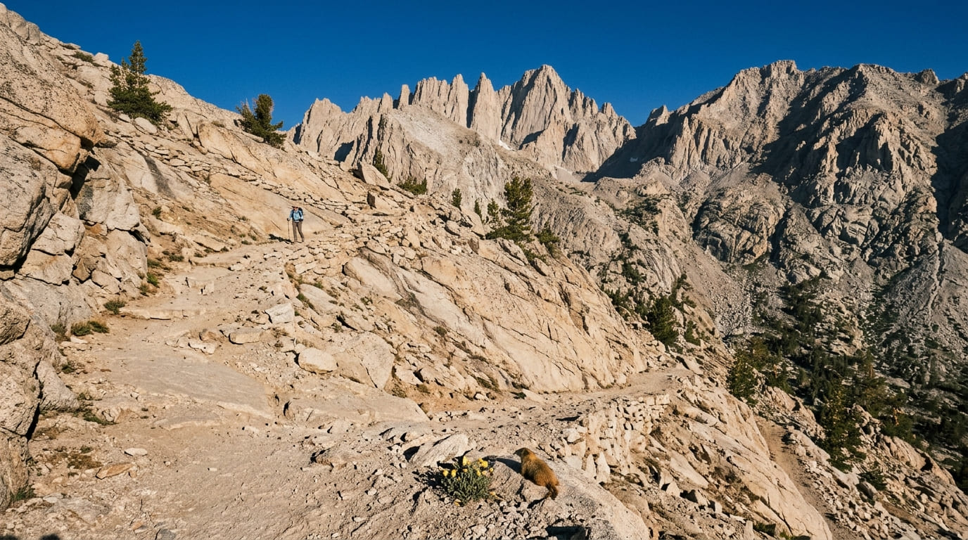
Whitney Portal, at 8,360 ft, is the starting point for the highest peak hike in the continental United States and for a handful of shorter, permit-free trails that make excellent introductions or acclimatization hikes before a real attempt.
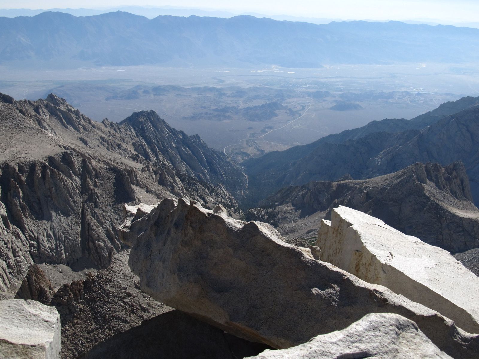
Mount Whitney Main Trail: the highest peak hike in the continental US
At 22 miles round trip with about 6,100 ft of elevation gain, the Mount Whitney Trail climbs from Whitney Portal to the 14,505-ft summit, a genuinely demanding day for even very fit hikers, with most day-hikers on the trail for 12 to 14 hours round trip.
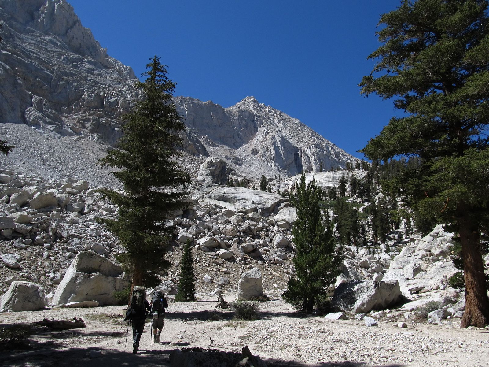
A wilderness permit is required year-round, not just during the busy season. The annual lottery runs February 1 through March 1 on Recreation.gov, with results posted March 15 and a deadline of April 21 to claim and pay for any permit you win; unclaimed dates are released online on April 22.
Quota season runs May 1 through November 1, capped at 100 day-use and 60 overnight permits daily, while permits are still required but uncapped the rest of the year for anyone with real winter mountaineering skills.
Altitude sickness becomes a real risk above 12,000 ft, and the trail is usually snow-free only from July through late September, worth knowing, since May and June carry the highest accident and fatality rates of the entire season according to Inyo County Search and Rescue, largely from hikers underestimating lingering snow and ice on what’s otherwise a non-technical trail.
Lone Pine Lake Trail: Mount Whitney without the permit
This roughly 6-mile round trip with about 2,000 ft of gain reaches a genuinely beautiful granite lake at 10,050 ft, and unlike the main Whitney Trail, beyond it doesn’t require a permit, since the Whitney Zone boundary sits above the lake.
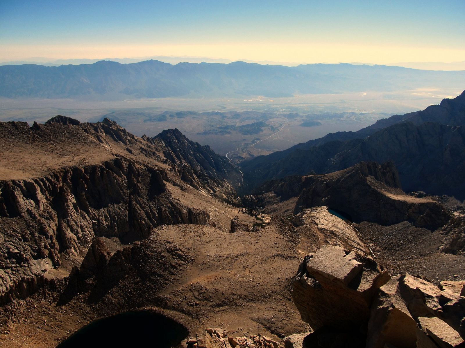
Alpine wildflowers peak in July and August, and this makes an excellent acclimatization hike in the days before a real Whitney attempt, or simply a rewarding destination on its own for anyone who didn’t win the lottery.
Alabama Hills: Inyo County’s best easy desert film location hike
The Mobius Arch Trail, a 1.5-mile loop on BLM land near Lone Pine, frames Mount Whitney’s summit through a natural rock arch that’s appeared as a backdrop in movies like Iron Man, Tremors, and more than 400 Westerns.
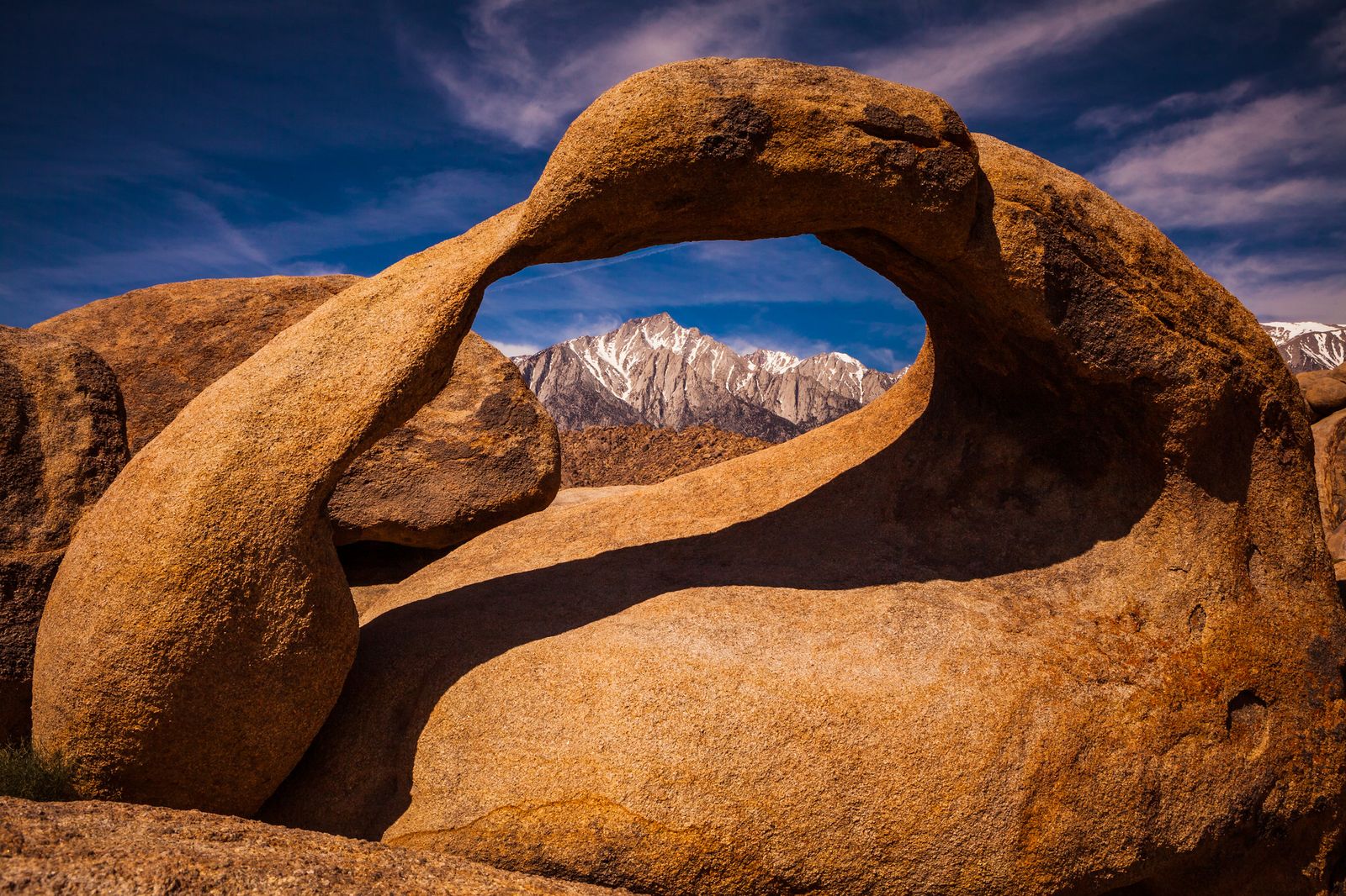
It’s free, requires no permit, and stays accessible year-round, making it one of the easiest wins in the entire county regardless of season or Whitney permit luck.
Best hiking trails near Bishop, Inyo County
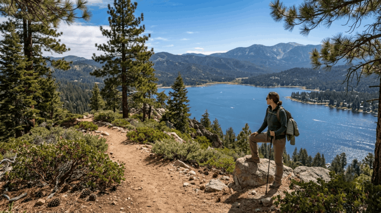
South of Bishop, Bishop Creek Canyon climbs straight into the John Muir Wilderness, with trailheads at North Lake and South Lake both starting above 9,000 ft. Bishop sits close enough to the county line that many hikers base a trip here to cover the hiking trails in Mono County too, just up Highway 395.
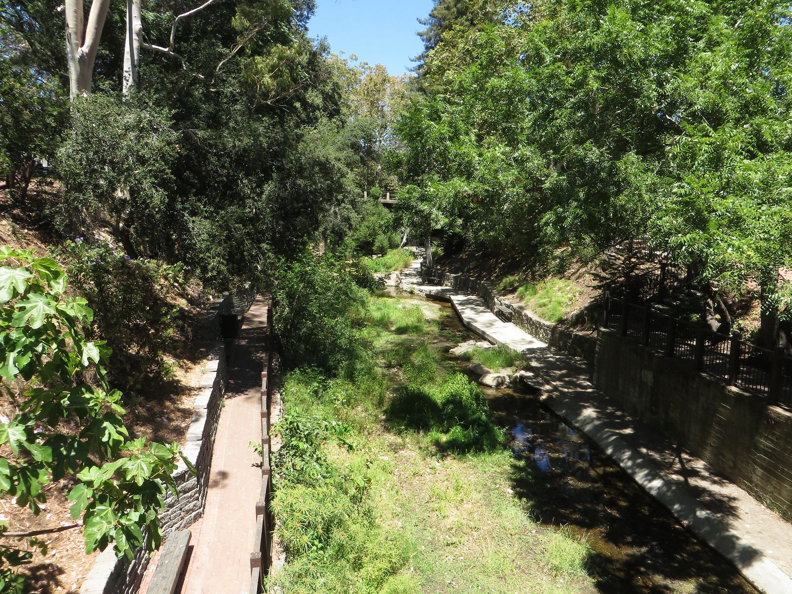
Bishop Pass Trail: Bishop Creek’s most spectacular high Sierra day hike
This 12-mile round trip from the South Lake trailhead climbs to Bishop Pass at 11,972 ft, passing a genuine chain of alpine lakes Long Lake, Saddlerock Lake, and Bishop Lake on the way, with access onward to both the John Muir Trail and Pacific Crest Trail at the pass itself.
No day-use permit is required, though an overnight permit is needed for backpacking. July through September is the reliable season here, same as most of the Sierra’s high passes.
Ancient Bristlecone Pine Forest: Inyo County’s most unique hiking destination
In the White Mountains east of Bishop, between 10,000 and 11,000 ft, the Ancient Bristlecone Pine Forest protects Great Basin bristlecone pines that were already ancient when the Egyptian pyramids were built.
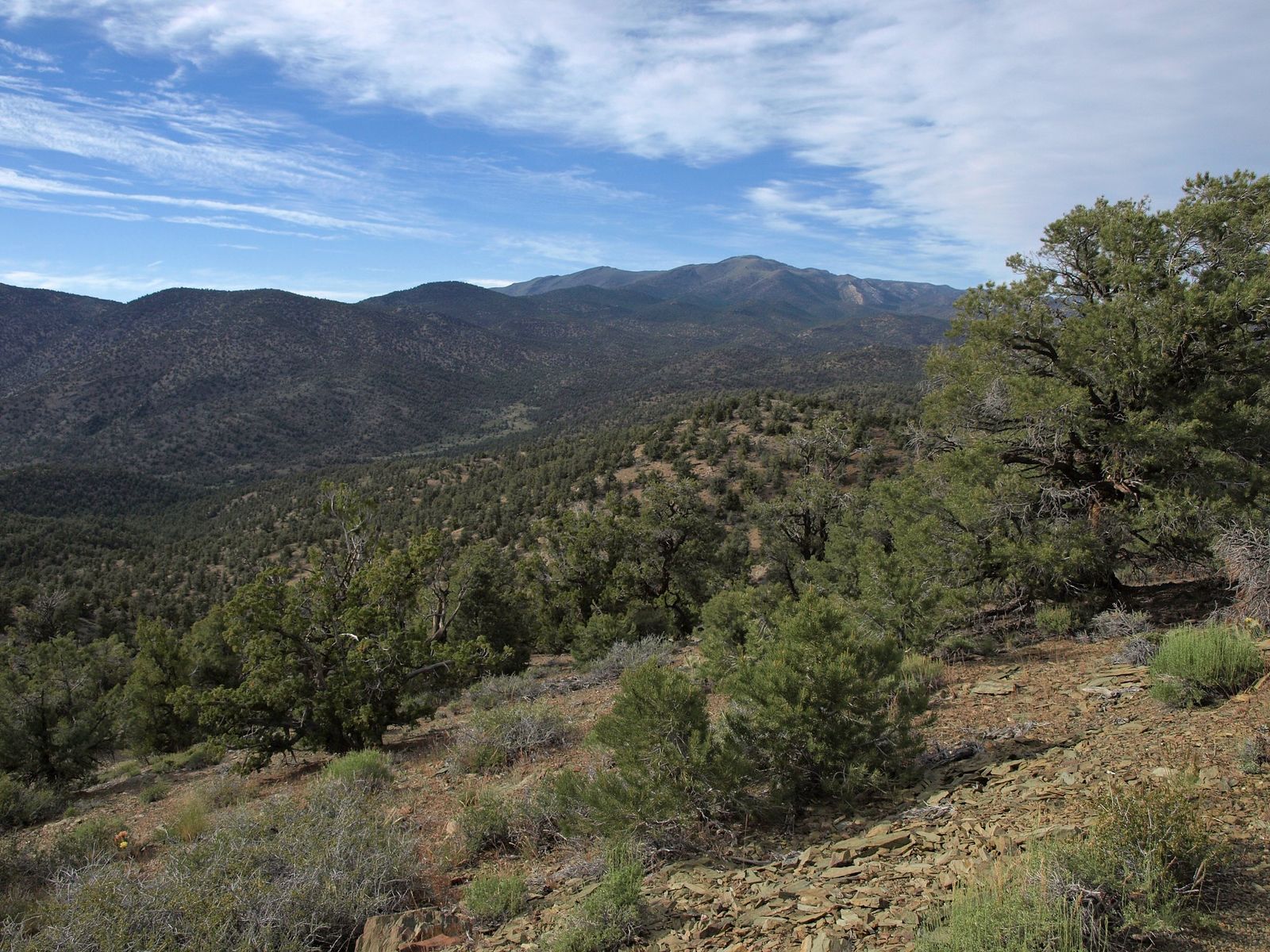
Methuselah Trail: walking among the world’s oldest living trees
This 4.5-mile loop through the Schulman Grove passes gnarled, wind-sculpted bristlecone pines, some over 4,000 years old, with the Methuselah Tree itself estimated at over 4,800 years old and among the oldest known living things on Earth deliberately left unmarked and unidentified to protect it from the kind of visitor pressure that’s damaged other famous ancient trees.
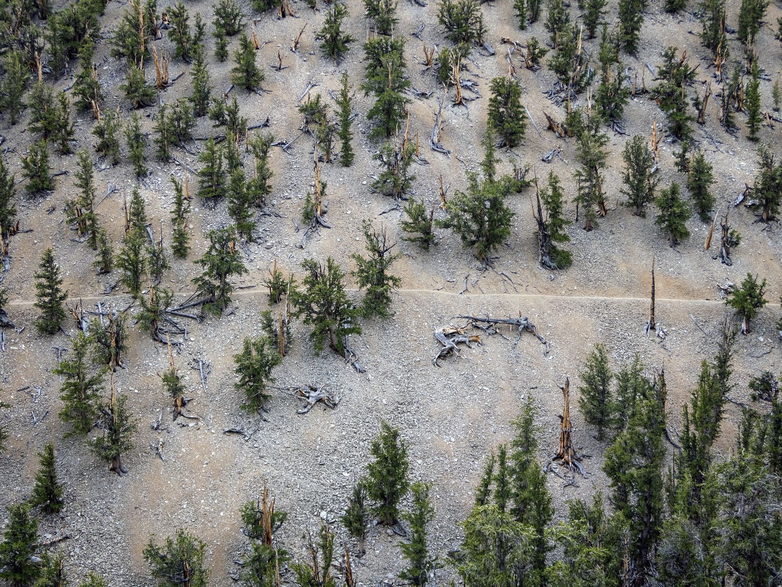
Access is free via a paved road from Bishop on Highway 168, typically open June through October depending on snow, and the shorter Discovery Trail (1 mile loop) offers an easier alternative if the full Methuselah loop is more than your day allows.
Patriarch Grove, another 13 miles further into the White Mountains, adds an even higher-elevation grove for anyone wanting to extend the visit.
Death Valley eastern trails in Inyo County
Death Valley National Park’s eastern reaches Furnace Creek, Badwater Basin, and Mosaic Canyon near Stovepipe Wells technically fall within Inyo County, though the full trail-by-trail breakdown lives in our dedicated Death Valley guide rather than duplicated here.
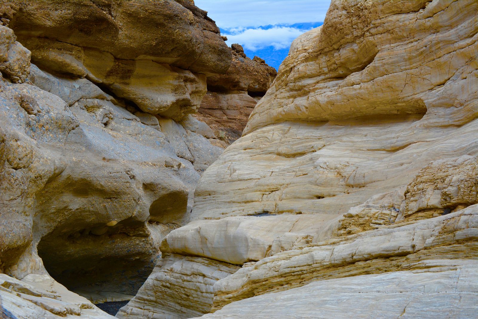
If you’re basing a trip out of Lone Pine or Bishop, Death Valley’s eastern entrances are a genuinely reasonable add-on rather than a separate multi-day detour. South of Death Valley, that same desert terrain continues into hiking trails in San Bernardino County, home to the Mojave National Preserve.
Inyo County rewards planning around its extremes rather than trying to soften them: get the Whitney permit lottery timing right if that’s the goal, lean on Lone Pine Lake or the Alabama Hills if it isn’t, and build in the Bristlecone Pine Forest as a genuinely different kind of hiking day entirely.
Few counties anywhere let a single trip span the lowest point in North America and the highest peak in the lower 48 without more than an afternoon of driving between them, and that range is really the whole reason to build a trip around this specific stretch of the Eastern Sierra rather than treating it as a drive-through on the way to somewhere else.
Frequently asked questions about hiking trails in Inyo County
How hard is the Mount Whitney hike and how do I get a permit?
It’s genuinely strenuous: 22 miles round trip with about 6,100 ft of gain, typically taking 12 to 14 hours for day hikers. Permits come through a Recreation.gov lottery running February 1 through March 1, with results posted March 15 and unclaimed dates released April 22.
Can I hike near Whitney Portal without a permit?
Yes, Lone Pine Lake, about 6 miles round trip, sits below the Whitney Zone boundary and requires no permit at all. It’s a genuinely rewarding hike on its own and a good acclimatization option before a permitted Whitney attempt.
What hiking trails are near Bishop, California?
Bishop Creek Canyon’s Bishop Pass Trail is the standout, climbing through a chain of alpine lakes to nearly 12,000 ft with no day-use permit required. The North Lake and South Lake trailheads both offer additional John Muir Wilderness access for shorter hikes too.
What is the Ancient Bristlecone Pine Forest and how do I visit it?
It’s a protected grove in the White Mountains east of Bishop holding some of the oldest living trees on Earth, including the Methuselah Tree at over 4,800 years old. The Methuselah Trail (4.5 miles) and shorter Discovery Trail (1 mile) both start from the Schulman Grove, reached via a paved road typically open June through October.
What is the best time of year to hike in Inyo County?
It depends entirely on elevation. Mount Whitney and the high Sierra trails are best July through September, while Death Valley’s low-elevation trails are best November through March. Bishop’s alpine lakes and the Bristlecone Pine Forest generally align with the same summer window as Whitney.
Are there hiking trails near Death Valley accessible from Bishop?
Yes, though it’s a substantial drive, Death Valley’s eastern entrances near Furnace Creek and Stovepipe Wells are reachable from Bishop or Lone Pine as a long day trip or overnight add-on. Full trail details for that side of the park are covered in our dedicated Death Valley guide.