The 5 Best Hiking Trails Near Mount Whitney, Inyo County
Mount Whitney, the highest peak in the contiguous United States at 14,505 feet, anchors this guide to the best hiking trails near Mount Whitney, but only one of these five routes actually requires the official Mount Whitney permit. For the county’s other extreme landscape, my Death Valley trails guide covers the polar opposite terrain in the same county. Start at the Inyo County trail guide for the complete picture.
Disclosure: Please note that some of the links below are affiliate links and at no additional cost to you, I may earn a commission. Know that I only recommend hiking gear I personally stand behind; when you use my affiliate links, it helps me run this blog and keep all of this content free of charge for readers (like you).
Permit logistics matter more in this guide than almost anywhere else on this site, so I’ll mention exactly what each trail requires as we go.
Key takeaways:
- The famous, permit-required push: Mount Whitney Trail to Trail Camp a high-alpine basin at 12,000 feet, the traditional staging point before summit day.
- The realistic no-permit alternative: Lone Pine Lake a genuine alpine lake reachable before the permit boundary even begins.
- The photography icon: Mobius Arch a natural rock window in the Alabama Hills framing the Sierra crest.
- The five-minute payoff: Whitney Portal Falls a cascade reachable almost directly from the parking area.
- The genuinely demanding non-lottery option: Meysan Lake quieter than the main corridor, but nearly as long and strenuous.
- Only one trail in this guide requires the Whitney lottery. The other four are realistic same-day options if you didn’t win it.
Mount Whitney Trail to Trail Camp
Trailhead access: Whitney Portal, wilderness permit required beyond Lone Pine Lake
The trail begins at Whitney Portal, 13 miles west of Lone Pine. A wilderness permit is required for anyone continuing past Lone Pine Lake into the designated Whitney Zone for 2026, the lottery runs February 1 through March 1 ($6 to apply, $15 per person if awarded), with results posted March 15 and an April 21 claim deadline. Confirm current dates on recreation.gov, since these can shift slightly year to year.
What you’ll see: a high-alpine basin below the highest peak in the contiguous US
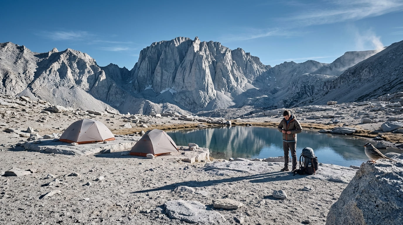
Trail Camp sits at 12,000 feet, about 6 miles from Whitney Portal a stark, often windswept basin that serves as the traditional overnight staging point before a summit push, and a genuinely dramatic turnaround point even for hikers who aren’t continuing to the 14,505-foot summit itself.
Best time to hike toward Trail Camp: summer only, permit season runs roughly May through October
Outside the May 1–November 1 quota season, this becomes a genuinely different, mountaineering-grade winter undertaking not a casual hike. Even in season, altitude and exposed terrain make this worth real preparation; see my terrain hazards guide before attempting any part of this route.
Lone Pine Lake Trail
Trailhead access: Whitney Portal, no permit required to this point
This trail shares its trailhead with the full Mount Whitney Trail, but Lone Pine Lake itself sits just before the wilderness permit boundary no permit needed.
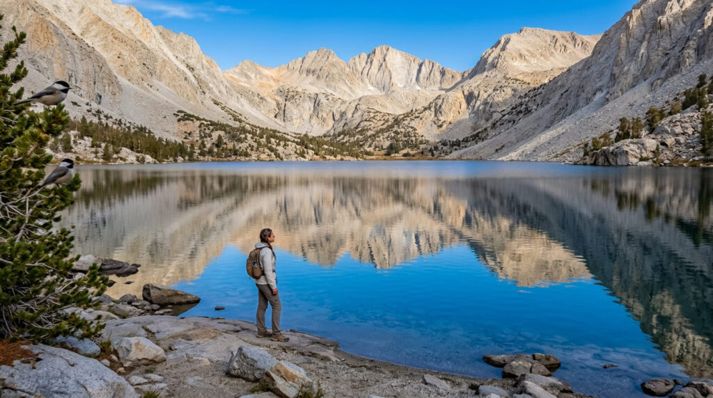
What you’ll see: a genuine alpine lake without the summit permit requirement
Lone Pine Lake sits about 2.8 miles from Whitney Portal at roughly 9,900 feet a real subalpine lake with genuine High Sierra scenery, and the most accessible taste of the Whitney corridor experience in this entire guide.
Best time to hike Lone Pine Lake: a realistic day hike for visitors without a Whitney permit
This is exactly the trail to default to if the lottery didn’t go your way many hikers also use it as an acclimatization or training hike the day before a summit attempt, worth pairing with my trail etiquette guide given how much traffic this shared trailhead sees.
Mobius Arch Trail (Alabama Hills)
Trailhead access: free, in the Alabama Hills near Lone Pine
From Lone Pine’s single stoplight, drive about 2.5 miles west on Whitney Portal Road into the Alabama Hills free BLM land, no permit required.
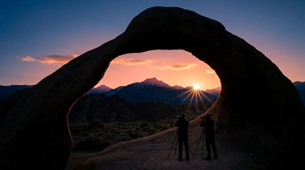
What you’ll see: a natural rock arch framing the Sierra crest
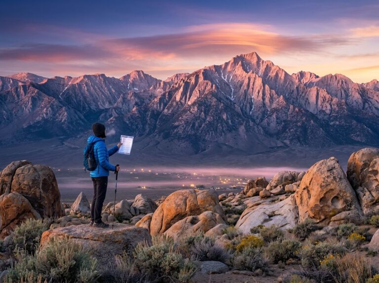
It’s a short, easy loop of about 0.5 to 0.7 miles with under 150 feet of gain to Mobius Arch, a wind-eroded rock window roughly 6.5 feet tall that frames either Mount Whitney or Lone Pine Peak, depending on your exact angle. The Alabama Hills have doubled as a filming location for hundreds of Western films over the decades, and nearby Lathe Arch makes an easy add-on.
Best time to hike Mobius Arch: sunrise for the classic Mount Whitney silhouette
Sunrise is the well-known photography window here, when the Sierra crest catches first light through the arch’s opening arrive before the light does, since this spot draws a real crowd of photographers on clear mornings.
Whitney Portal Falls Trail
Trailhead access: the Whitney Portal store and campground, no permit required
This short walk starts right at the same general trailhead area as the main Whitney Trail, but stays close to the store, campground, and parking facilities.
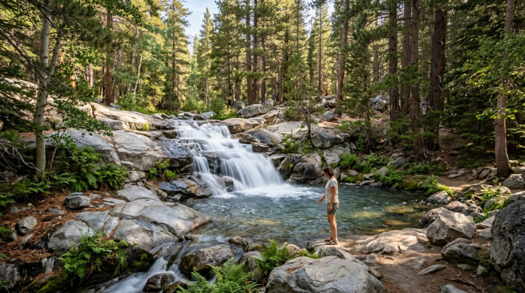
What you’ll see: a waterfall just steps from the trailhead parking area
A genuine cascade on Lone Pine Creek is reachable with minimal walking directly from the Whitney Portal parking and camping area the most accessible water feature in this entire guide, and a nice cooldown stop before or after a longer hike nearby.
Best time to hike Whitney Portal Falls: spring for peak snowmelt flow
Like most Sierra waterfalls covered on this site, flow here depends heavily on snowmelt timing spring delivers the fullest flow, and it can run noticeably thinner by late summer, worth a look at my water hazards guide if creek crossings near a flowing cascade are new territory for you.
Meysan Lake Trail
Trailhead access: near Whitney Portal Campground, no permit for day use
This trailhead sits near the Whitney Portal Campground, heading up a separate canyon from the main summit trail no permit required for a day hike, though overnight camping requires its own wilderness permit, obtainable online or at the Lone Pine ranger station, separate from the Whitney lottery.
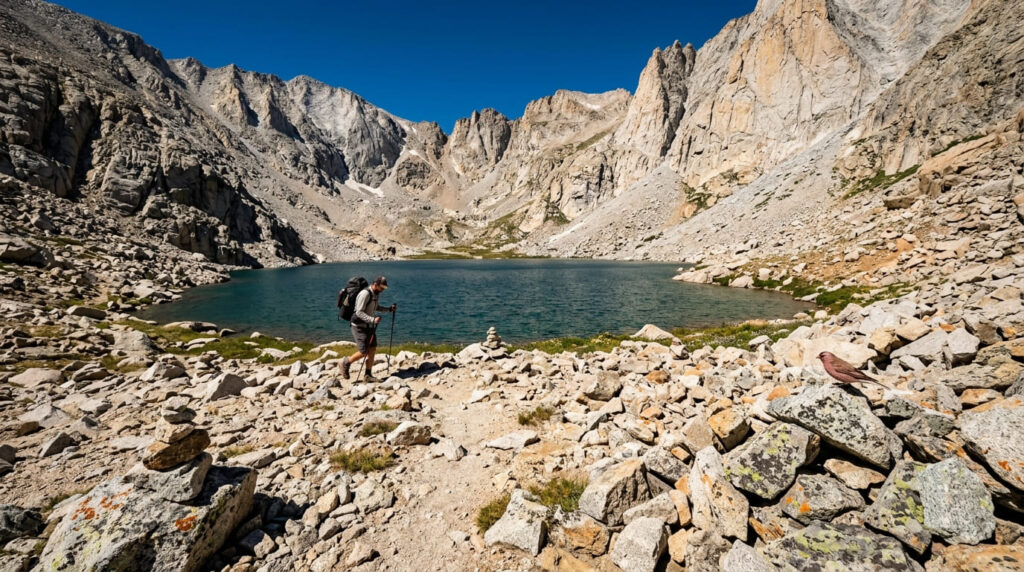
What you’ll see: a quieter alpine lake basin away from the main Whitney corridor
This isn’t a short, easy alternative. It runs roughly 11 to 11.5 miles round trip with 3,700 to over 4,000 feet of gain, genuinely comparable in effort to reaching Trail Camp on the main trail, just without the permit competition or the crowds.
Best time to hike Meysan Lake: a quiet summer alternative to the main Whitney corridor, mid-June through September
The access road typically closes with the first snowfall, and the trail itself becomes difficult to follow near the lake even in good conditions this is a serious undertaking for hikers comfortable with genuine route-finding, not a beginner’s Whitney consolation prize.
Which of these five to hike first
If you didn’t win the Whitney lottery, Lone Pine Lake is the obvious, realistic substitute genuine alpine scenery in a fraction of the distance. If you want the classic Eastern Sierra photograph, Mobius Arch at sunrise delivers it in under an hour. And if Meysan Lake catches your eye as a “quieter Whitney,” go in knowing it’s nearly as demanding as the real thing.
Frequently asked questions
Do you need a permit for the full Mount Whitney Trail?
Yes, year-round, for anyone traveling past Lone Pine Lake into the designated Whitney Zone secured through a competitive lottery for the May-through-October quota season.
Can you hike to Lone Pine Lake without a Whitney permit?
Yes, Lone Pine Lake sits just before the permit boundary, making it a genuine no-permit alpine lake hike.
Does Mobius Arch frame Mount Whitney?
Yes, from most common vantage points, though depending on exactly where you stand, the arch can also frame neighboring Lone Pine Peak.
Is there a waterfall at Whitney Portal?
Yes, a genuine cascade on Lone Pine Creek sits just steps from the parking and campground area.
Is Meysan Lake a good Mount Whitney alternative?
It’s a good no-lottery alternative, but not an easy one at roughly 11 miles round trip with over 3,700 feet of gain, it’s nearly as demanding as reaching Trail Camp on the main trail.
What is the best hike near Mount Whitney if you don’t have a permit?
Lone Pine Lake, by a clear margin, offers genuine alpine scenery, requires no permit, and is a fraction of the distance of this guide’s other permit-free options.