Best Hiking Trails in Riverside County, California
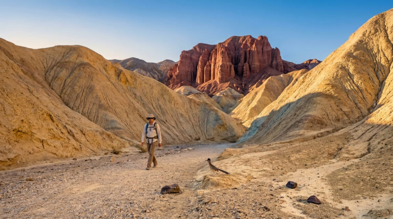
No California county packs more vertical range into one hiking trip than Riverside County. You can walk a palm-oasis canyon on the desert floor in the morning and stand in alpine pine forest above 8,500 ft by early afternoon, all without leaving the county line. Between the Coachella Valley desert, the San Jacinto Mountains, and Temecula’s wine country to the southwest, the hiking trails in Riverside offer three genuinely different experiences that most counties never manage even one of well, and each has its own season, permit rules, and character worth understanding before you pick a trailhead.
Disclosure: Please note that some of the links below are affiliate links and at no additional cost to you, I may earn a commission. Know that I only recommend hiking gear I personally stand behind; when you use my affiliate links, it helps me run this blog and keep all of this content free of charge for readers (like you).
Key takeaways
- Riverside County spans three distinct hiking zones: desert (Palm Springs and the Coachella Valley), mountain (Idyllwild and the San Jacinto range), and valley (Temecula wine country).
- Indian Canyons runs reduced summer hours, open daily October through early July, then weekends only (Friday–Sunday) from July through September due to extreme heat.
- The Palm Springs Aerial Tramway solves the desert-heat problem entirely, lifting hikers nearly 6,000 ft from the valley floor to alpine terrain in about ten minutes.
- Devil’s Slide Trail requires an in-person quota permit on peak summer weekends; it’s the one Idyllwild permit you can’t get online.
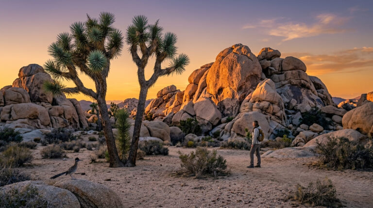
- Pioneertown Mountains Preserve is a genuine Joshua Tree alternative, with 39 miles of trail on the park’s western boundary with no fee, no permit, and far fewer people.
Related:
- Joshua Tree National Park Maps & Trail Map Guide
- 5 Best Hiking Trails Near Palm Springs, Riverside County
- 5 Best Hiking Trails in Idyllwild, Riverside County
- 5 Best Hiking Trails Near Joshua Tree, Riverside County
- 5 Best Hiking Trails in the Santa Rosa and San Jacinto Mountains, Riverside County
- 5 Best Hiking Trails Near Temecula, Riverside County
Why Riverside County has three completely different hiking experiences
The county’s geography does the heavy lifting here: it stretches from below-sea-level desert floor to a 10,834 ft mountain summit to rolling wine-country mesas, all within roughly an hour’s drive of each other. No other California county pairs that kind of elevation swing with this much drivable convenience between zones.
Riverside County’s three hiking zones: desert, mountain, and valley
The desert zone centers on Palm Springs and the Coachella Valley, gateway to Joshua Tree’s western edge and home to some of the most distinctive palm-oasis hiking anywhere in the country. The mountain zone is Idyllwild and the San Jacinto Mountains, a genuine alpine environment reached either by winding highway or by tram straight up from the desert floor; a combination that lets you swap 100°F valley heat for pine forest in under fifteen minutes.
The valley zone around Temecula trades elevation for oak savanna, vernal pools, and wine-country scenery at Santa Rosa Plateau, the quietest and least crowded of the three. Each zone rewards a completely different kind of trip, which is exactly why this county resists being summarized as any one type of hiking destination. Pick the zone that matches your mood first, and the specific trailhead follows naturally.
Best hiking trails near Palm Springs, Riverside County
Palm Springs hiking splits cleanly into two categories: desert canyon oases on the valley floor, and alpine terrain reached by tram, and picking between them often comes down to nothing more than how hot it is that day.
Indian Canyons: Palm Springs’ best desert oasis hiking
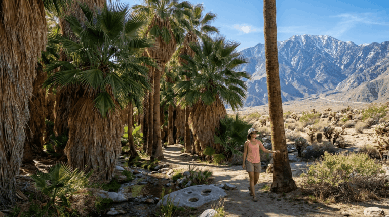
Managed by the Agua Caliente Band of Cahuilla Indians, Indian Canyons protects the largest native California fan palm oasis in the world across Andreas, Murray, and Palm Canyons, with roughly 60 miles of trail total ranging from an easy one-mile Andreas Canyon loop to the strenuous 12.3-mile Hahn Buena Vista Trail.
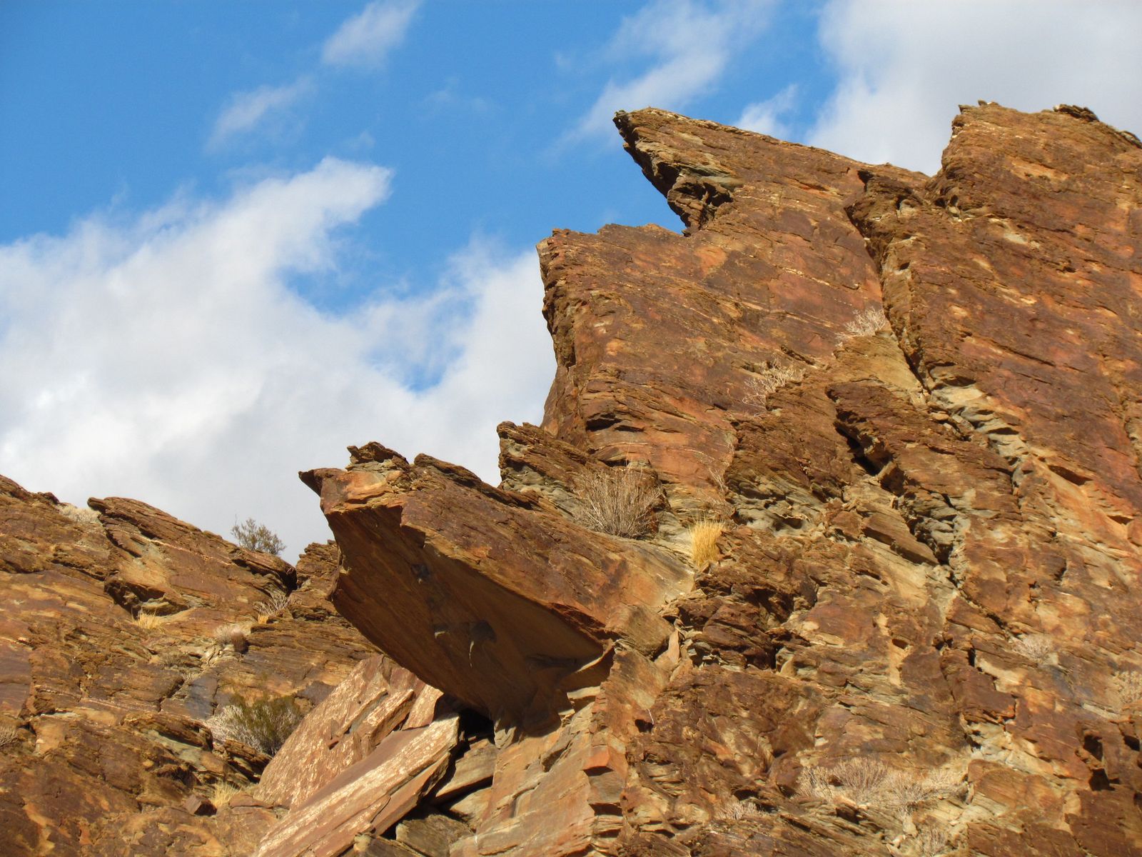
Entry runs $12 for adults ($7 seniors and students, $6 for children 6–12), and the canyons are open daily from October through early July, then drop to weekends only (Friday through Sunday) from July through September because of extreme summer heat, check the current schedule before a summer visit, since the reduced hours catch a lot of first-time visitors off guard.
Murray Canyon in particular rewards an early start: shade and running water keep it noticeably cooler than the open desert around it, but the wildlife sightings that make it special are best in the first couple of hours after sunrise.
Palm Springs Aerial Tramway to Mount San Jacinto: the world’s best tram hike
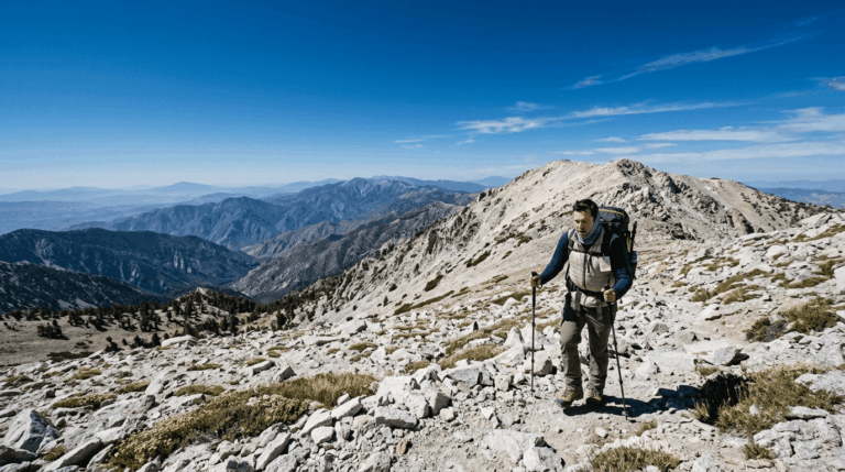
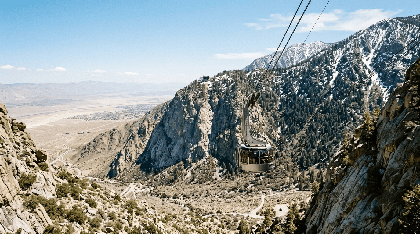
The tramway solves Palm Springs’ heat problem better than any trail could: about ten minutes of travel lifts you from the desert floor to the 8,516 ft Mountain Station, dropping you into alpine forest with roughly 10 miles of wilderness trail and a possible push to the 10,834 ft summit for those with the fitness and time.
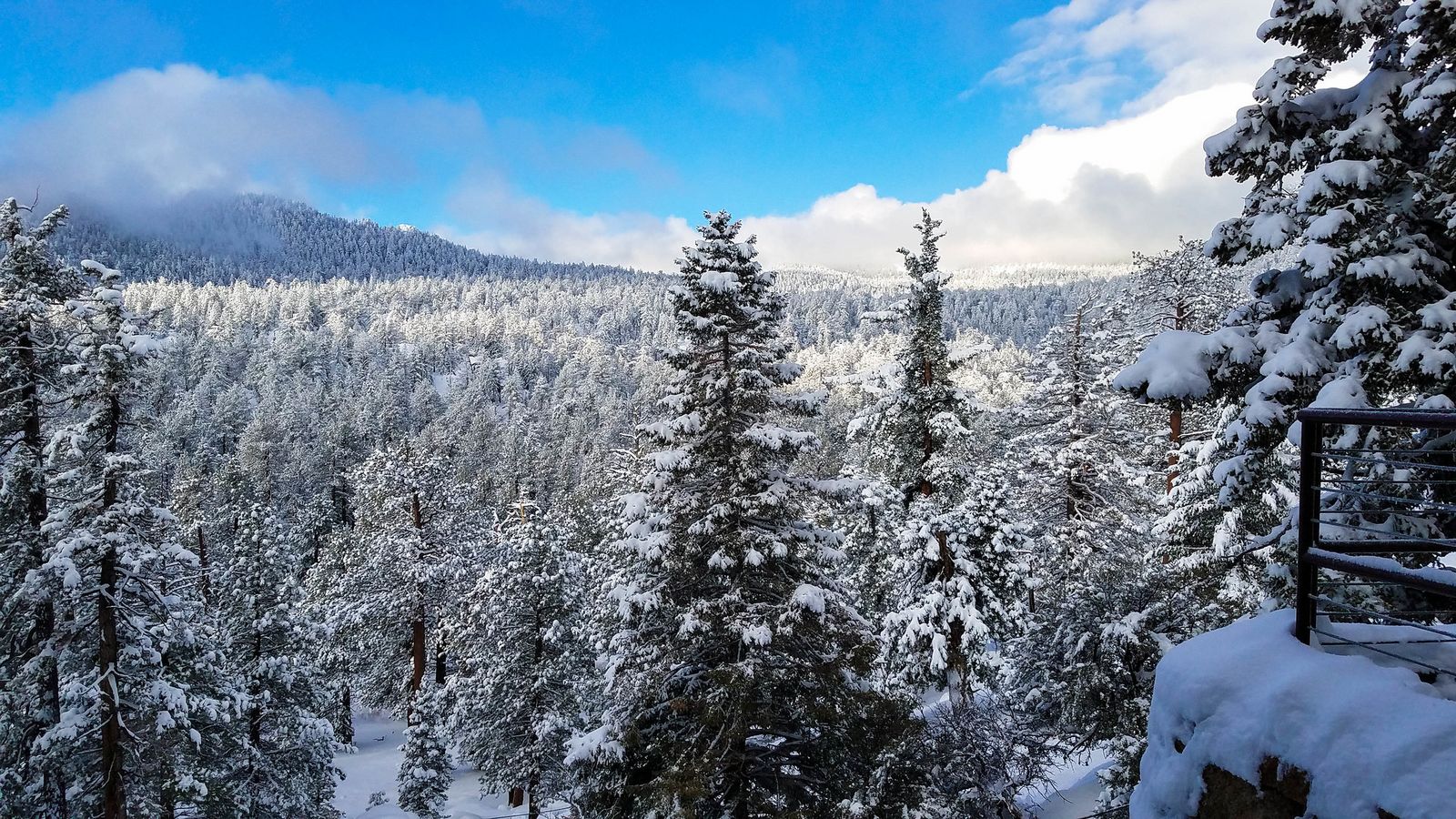
Snow is likely from October through May at this elevation, and a wilderness permit is free and available at the ranger station right at the top station, beyond the immediate tram-area trails. Tram tickets run $30 and up, but the temperature swing alone (frequently 30–40 degrees cooler than the valley floor) makes it worth the price on a hot desert day.
Round Valley, about 2.5 miles in with roughly 600 ft of gain from the Mountain Station, is a good turnaround point for anyone not chasing the full summit push, and it still delivers the alpine meadow scenery that makes this hike so different from anything else near Palm Springs.
Best hiking trails in Idyllwild, Riverside County
Idyllwild is Riverside County’s mile-high mountain town, and its trail network sits mostly inside the San Jacinto Wilderness, split between Mount San Jacinto State Park and the San Bernardino National Forest. The federal wilderness alone holds 48 miles of trail, including 28 miles of the Pacific Crest Trail, and the town itself sits at 5,400 ft, cool enough in summer to feel like an entirely different state from the desert floor thirty minutes away.
Tahquitz Peak Trail: Idyllwild’s most iconic summit hike
The South Ridge Trail to Tahquitz Peak runs 8.4 miles round trip with about 2,600 ft of gain to an 8,846 ft summit, capped by a historic fire lookout and a genuine granite dome approach that gives this hike a mountaineering feel most Southern California trails don’t offer.
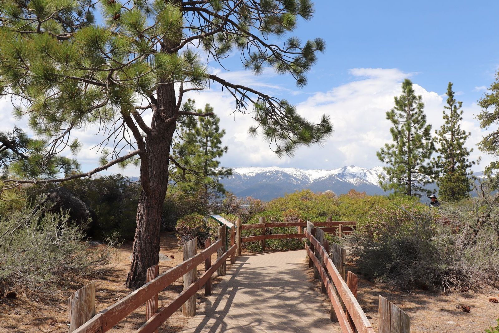
A wilderness permit is required in summer, free and available at the Idyllwild Ranger Station or the self-service kiosk outside it, and the trailhead itself sits right off Tahquitz View Drive in town, making it one of the more convenient serious summit hikes in the county.
Devil’s Slide Trail: Idyllwild’s best PCT access hike
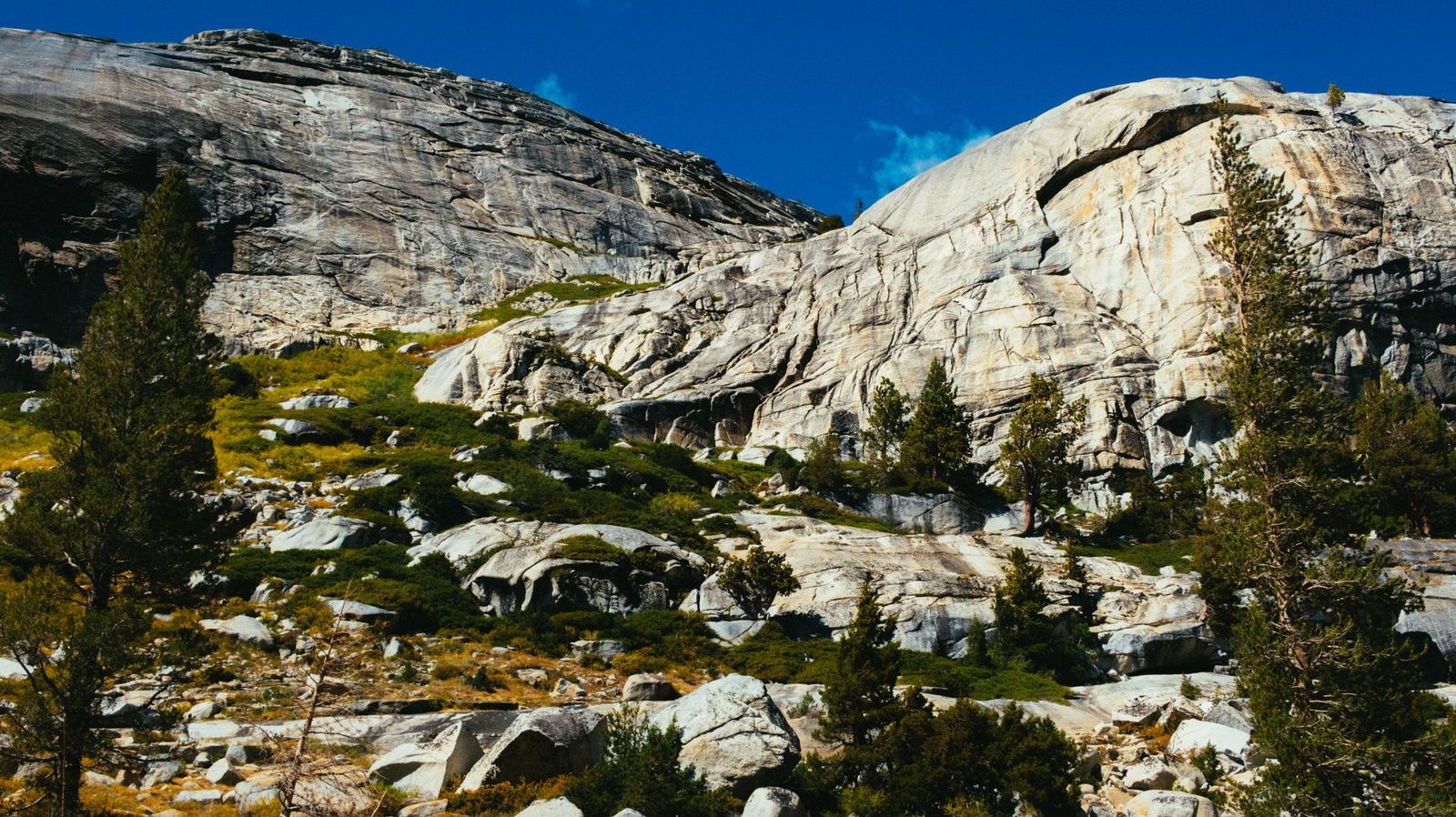
Devil’s Slide runs about 8.5 miles round trip to Saddle Junction, gaining roughly 2,300 ft through granite peaks and pine forest on its way to a direct connection with the Pacific Crest Trail it’s the most popular day-hike access point to the PCT in the San Jacinto range, and from Saddle Junction itself, trails continue toward San Jacinto Peak, the Palm Springs Aerial Tramway, and Tahquitz Peak Lookout, making it a genuine hub for several of this list’s other hikes.
The one detail worth knowing before you plan around it: on peak summer weekends between Memorial Day and Labor Day, day-hike quota permits for this specific trail are not available online; you have to pick one up in person at the ranger station, so build that stop into your morning rather than assuming you can walk straight to the trailhead.
Best hiking trails near Joshua Tree, Riverside County
Riverside County borders the western Mojave Desert side of Joshua Tree National Park, and one preserve just outside the park boundary is worth knowing about even if the park itself is your main destination, especially on a weekend when the park’s own trailheads are running over capacity. Joshua Tree’s other flank sits across the line in Hiking Trails in San Bernardino County, which covers the park’s Mojave-side approach and the Kelso Dunes further east.
Pioneertown Mountains Preserve: Joshua Tree’s best kept hiking secret
Managed by the Inland Empire Resource Conservation District, this 23,000-acre preserve holds 39 miles of trail directly adjacent to Joshua Tree’s boundary, with free access and no permit required.
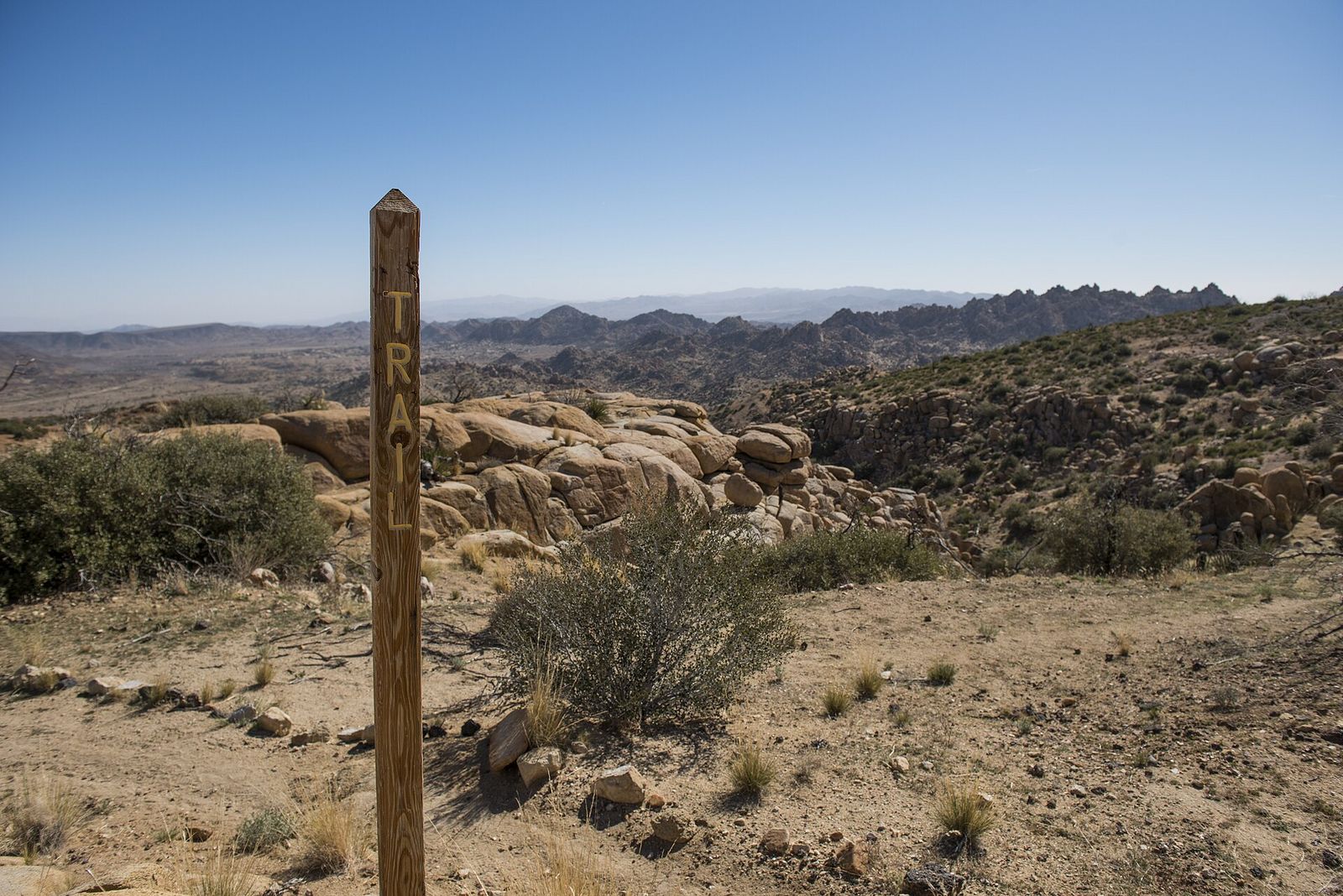
It sees a fraction of the park’s crowds while offering genuinely similar high-desert scenery, making it one of the better “overflow” options when Joshua Tree itself is packed.
Best hiking trails near Temecula, Riverside County
Temecula’s hiking identity is built around ecological preservation rather than dramatic elevation, and Santa Rosa Plateau is the centerpiece of that reputation.
Santa Rosa Plateau Ecological Reserve: Temecula’s best nature hike
At 9,000 acres and managed by Riverside County Parks, Santa Rosa Plateau protects oak savanna, seasonal vernal pools, and mesa terrain for a $3-per-person entry fee, a genuinely different landscape from anything else on this list, closer in feel to Central Coast grassland than to the desert or alpine terrain that defines the rest of the county.
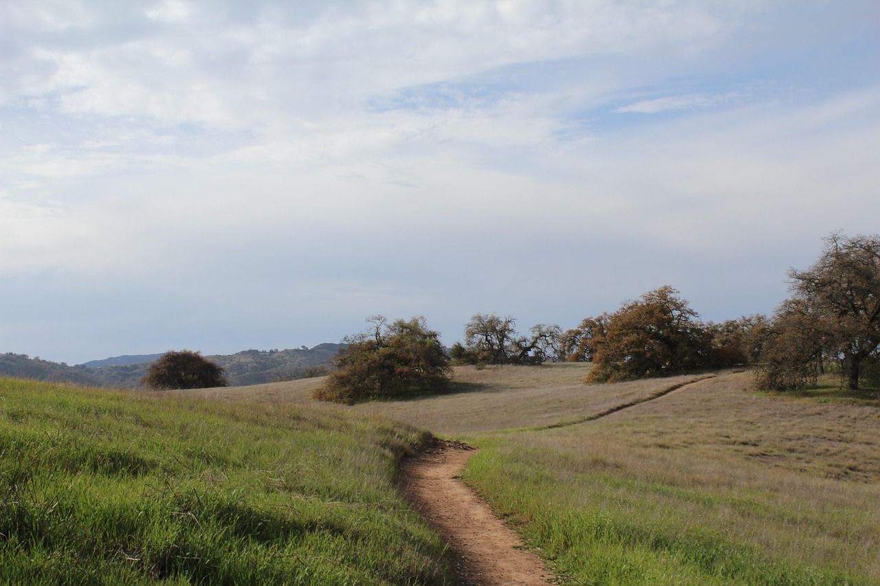
The Vista Grande Trail (2.4 miles) is the easy introduction, while the Tenaja Falls Trail extends to about 5 miles for a longer day, passing through some of the reserve’s best oak groves along the way. February through April is peak wildflower season here, when the vernal pools and surrounding grassland put on the reserve’s best display of the year, and the rare plant species that call this plateau home are the reason the reserve exists at all.
Riverside County rewards a “pick your zone” approach more than almost any other California county on this list. Decide whether you want desert, mountains, or wine country first, and let that choice drive everything else about the trip.
Check Indian Canyons’ current summer schedule before a Palm Springs visit, plan around Devil’s Slide’s in-person permit requirement if Idyllwild is on the list, and don’t overlook Pioneertown or Santa Rosa Plateau just because they sit in the shadow of bigger-name neighbors.
Few counties in California let you swap ecosystems this completely on the same day trip, and that’s the real reason to build a Riverside County hiking trip around more than one of its zones rather than just one. If wine country was the pace you enjoyed at Santa Rosa Plateau, the coastal trails of Orange County offer a similarly unhurried alternative just west of the county line.
Frequently asked questions about hiking trails in Riverside County
What are the best hiking trails near Palm Springs?
Indian Canyons is the classic desert-oasis choice, and the Palm Springs Aerial Tramway is the best way to escape the heat entirely by hiking alpine terrain above 8,500 ft. Both are strong options depending on whether you want desert scenery or cooler mountain air.
Are hiking trails open in Palm Springs right now?
Indian Canyons runs daily from October through early July, then drops to Friday–Sunday only from July through September because of extreme heat. Check the current schedule before you go in summer. The Palm Springs Aerial Tramway and its high-elevation trails stay open year-round regardless of desert-floor temperatures.
Are hiking trails open in Idyllwild right now?
Generally yes, though conditions can shift quickly during fire season. Call the Idyllwild Forest Service Ranger Station at (909) 382-2921 for current trail and fire-restriction status before a trip. Winter can also bring snow and ice to higher trails like Devil’s Slide and the South Ridge Trail.
Do I need a permit to hike near Idyllwild in the San Jacinto Mountains?
Yes, a free wilderness day-hike permit is required for both state and federal wilderness areas, available online or at the Idyllwild Ranger Station. Devil’s Slide Trail is the one exception on peak summer weekends, when its quota permits can only be picked up in person, not booked online.
How do I hike from the Palm Springs Aerial Tramway?
Buy a tram ticket at the Valley Station, ride up to the 8,516 ft Mountain Station, and pick up a free wilderness permit at the ranger station there if you’re heading beyond the immediate tram-area trails. From there, roughly 10 miles of wilderness trail lead toward Round Valley and, for fit hikers with enough time, the 10,834 ft San Jacinto Peak summit.
What are the best hiking trails in Riverside County for beginners?
Andreas Canyon in Indian Canyons and the Vista Grande Trail at Santa Rosa Plateau are both short, well-marked, and manageable for a first-timer. Both pair an easy walk with genuinely distinctive scenery: a palm oasis in one case, oak savanna and vernal pools in the other.