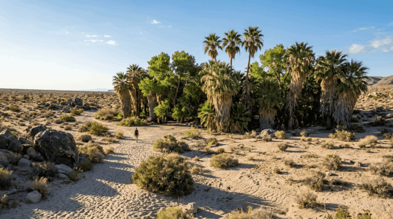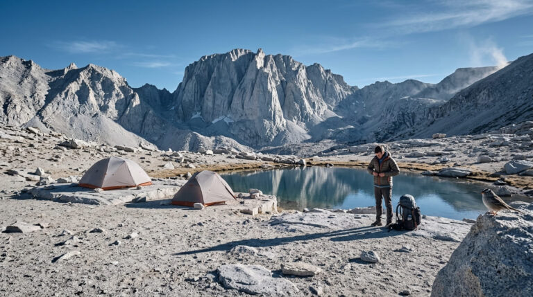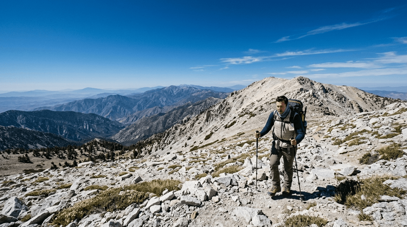
The 5 Best Hiking Trails in the San Bernardino Mountains
This guide covers the best mountain hiking trails in different terrain than my Big Bear Lake and Lake Arrowhead guide; those are resort-town trail lists; this is the range itself, anchored on San Gorgonio Mountain, Southern California’s highest peak at 11,503 feet. If you’ve done the easier trails in those two guides and want the real mountains, this is where you go next. For the full county picture, San Bernardino County’s trail hub ties this batch together.
Disclosure: Please note that some of the links below are affiliate links and at no additional cost to you, I may earn a commission. Know that I only recommend hiking gear I personally stand behind; when you use my affiliate links, it helps me run this blog and keep all of this content free of charge for readers (like you).
This is also the most permit-heavy guide in the batch; three of these five trails sit inside the San Gorgonio Wilderness and require a free wilderness permit on top of the usual Adventure Pass. And one trail here needs a more careful explanation than usual, so I’ll flag it clearly when we get there.
Key takeaways
- The classic summit push: San Gorgonio Mountain via Vivian Creek, the shortest, steepest route to the top of “Old Grayback.”
- The gentler wilderness experience: South Fork Trail to Dollar Lake, a genuinely long day, but without the full summit commitment.
- The quiet alternative peak: Sugarloaf Mountain, no wilderness permit required, with real route-length variation depending which of several approaches you take.
- The one that needs real explanation: Siberia Creek Trail, reliably hikeable for about 3 miles round trip to a landmark called Gunsight; the historic longer route beyond that is currently overgrown and impassable.
- The true solitude option: Seven Pines Trail, one of the least-traveled approaches into the wilderness.
- This is the highest-elevation, most permit-dependent guide in the whole San Bernardino County batch. Altitude and snow both matter here in ways they don’t at Big Bear or Lake Arrowhead.
Quick-glance comparison
| Trail | Distance (RT) | Elevation gain | Permit |
|---|---|---|---|
| San Gorgonio via Vivian Creek | 16–19 mi | ~5,350–5,500 ft | Wilderness permit + Adventure Pass |
| South Fork to Dollar Lake | ~12 mi | ~2,400 ft | Wilderness permit + Adventure Pass |
| Sugarloaf Mountain | 7–12 mi (route-dependent) | ~2,000–3,360 ft | Adventure Pass only |
| Siberia Creek (to Gunsight) | ~3 mi | ~600 ft | No permit |
| Seven Pines Trail | Up to 14 mi | ~4,000 ft | Wilderness permit + Adventure Pass |
San Gorgonio Mountain via Vivian Creek: the shortest, steepest route to the top
This is the trail serious Southern California hikers use to train for Mount Whitney, genuinely the region’s benchmark high-altitude test piece.
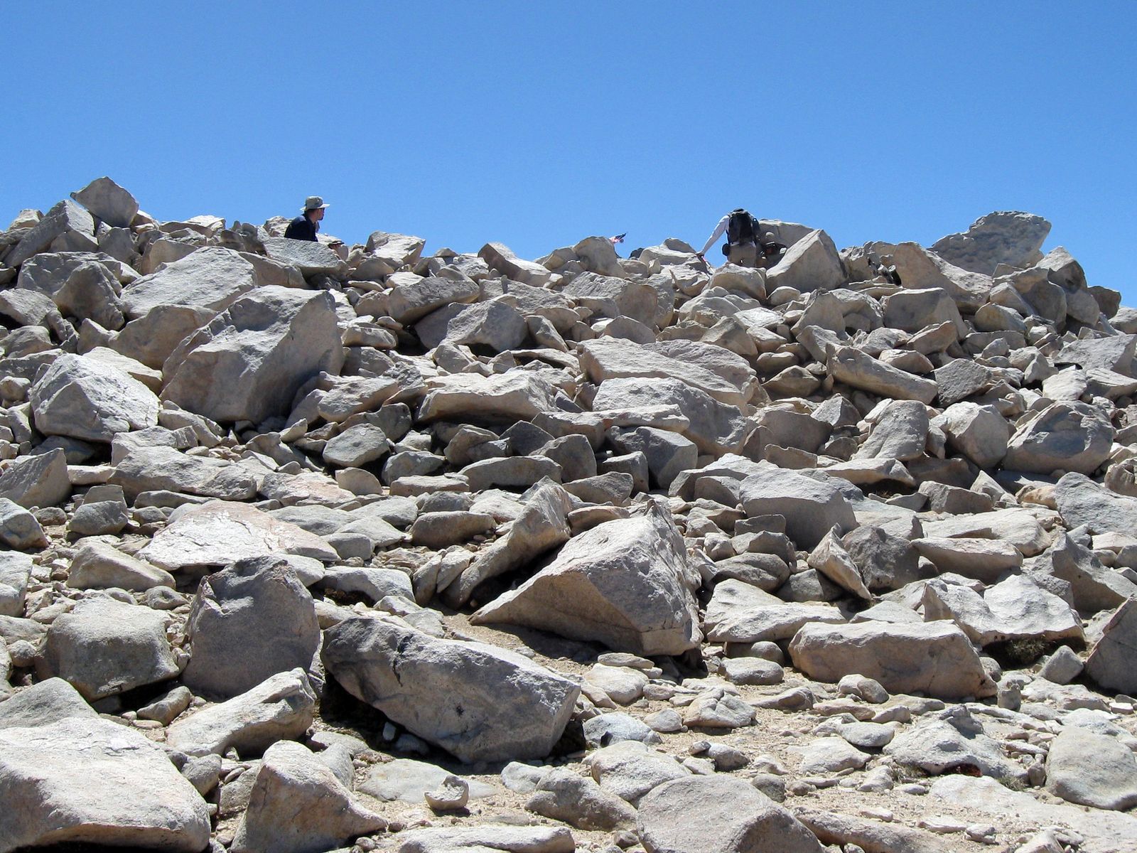
Trailhead access: Forest Falls, wilderness permit and Adventure Pass both required
The trailhead sits east off Highway 38 in Forest Falls. You’ll need both an Adventure Pass displayed on your vehicle and a free San Gorgonio Wilderness permit, issued by the San Gorgonio Wilderness Association, reserve early, since this is the second-most-popular trailhead in the wilderness and quotas fill fast for summer weekends.
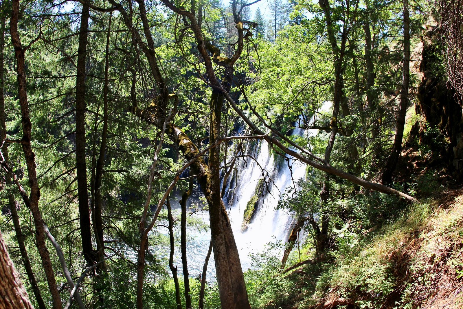
Difficulty, distance, and elevation gain to Southern California’s highest peak
Expect 16–19 miles round trip depending on the exact source, with roughly 5,350–5,500 feet of gain to the 11,503-foot summit, no other trail in this entire San Bernardino County batch comes close to this vertical gain.
What you’ll see: true alpine terrain above the treeline
The upper reaches genuinely clear the treeline into open alpine tundra, with sweeping views of Yucaipa Ridge and Galena Peak on the way up, and the whole Southern California basin from the summit itself.
Best time to hike San Gorgonio: summer and early fall only
Snow and ice make the upper mountain dangerous or fully impassable outside a narrow June-through-October window, check current snow conditions before planning anything outside that range, since this is by far the most weather-restricted trail in this batch.
South Fork Trail to Dollar Lake: a genuinely long day, without the full summit
If Vivian Creek sounds like too much commitment, this is the trail that gets you deep into the same wilderness with a gentler, if still long, profile.
Trailhead access: Jenks Lake Road, wilderness permit and Adventure Pass required
The South Fork Trailhead sits on Jenks Lake Road, 2.5 miles off Highway 38, with a large paved lot. The same permit system applies here as at Vivian Creek, reserve through the San Gorgonio Wilderness Association.
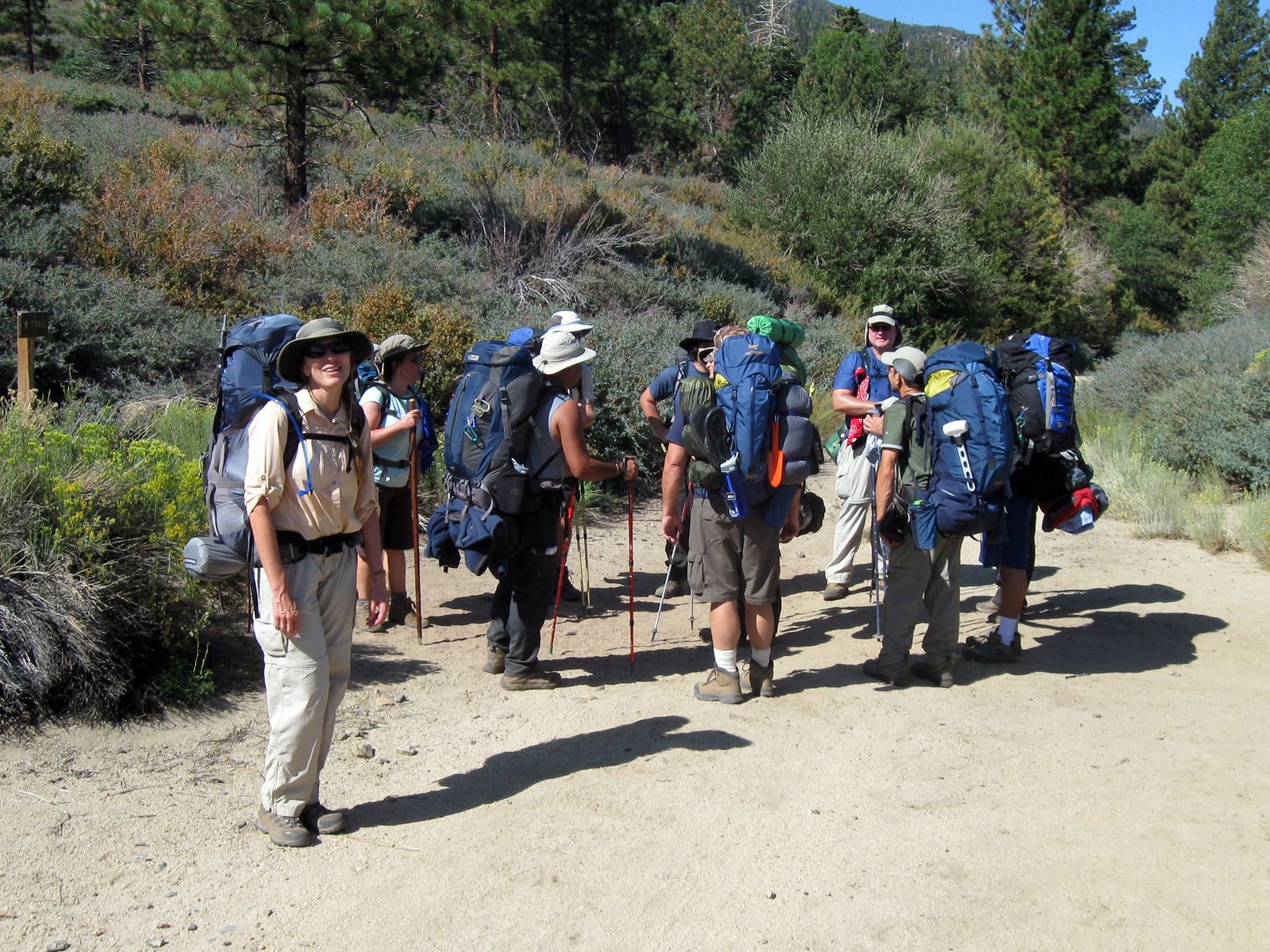
Difficulty, distance, and elevation gain to Dollar Lake
Correcting the heading file’s estimate here: by the Forest Service’s own segment breakdown, 2.5 miles to the wilderness boundary, another 1.7 miles to South Fork Meadows, then 2 more miles to Dollar Lake, this comes to roughly 12 miles round trip, not 10, with about 2,400 feet of gain.
What you’ll see: a small subalpine lake that can dry up seasonally
Dollar Lake sits at 9,300 feet, ringed by lodgepole pine, genuinely small, and worth knowing it can dry up entirely in low-snow years. Along the way, keep an eye out for mule deer, gray squirrels, and black bear.
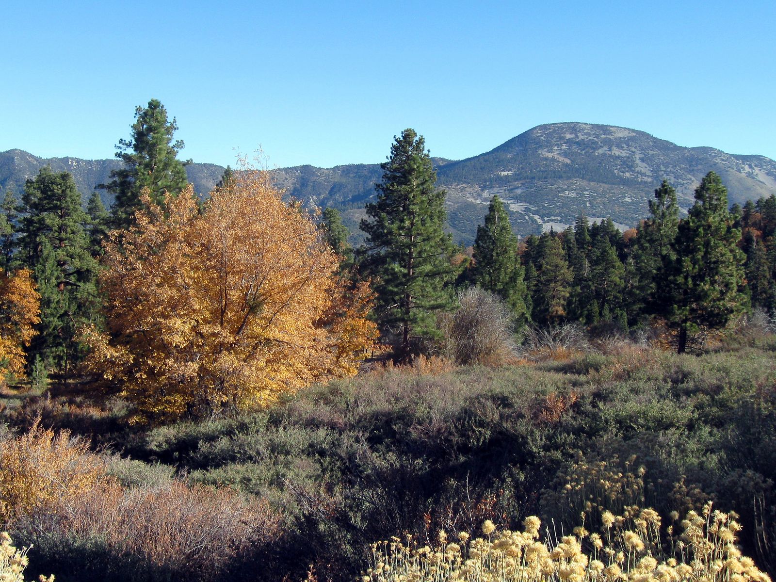
Best time to hike South Fork to Dollar Lake: a gentler alternative, still weather-dependent
This trail shares San Gorgonio’s snow-season restrictions at its upper elevations, though the lower sections stay hikeable across more of the year than the full summit route.
Sugarloaf Mountain: the quiet peak with no wilderness permit required
Sugarloaf is the highest point in the San Bernardino Mountains outside the San Gorgonio Wilderness boundary, which means real elevation without the permit-reservation hassle of the other trails on this list.
Trailhead access: Green Canyon Road, Adventure Pass only
Reach the Green Canyon trailhead via Forest Road 2N93, off Highway 38, the road is genuinely rough, with high clearance recommended; low-clearance vehicles risk getting stuck and may need to park earlier and walk an extra couple of miles. Only a Forest Service Adventure Pass is required here, no wilderness permit.
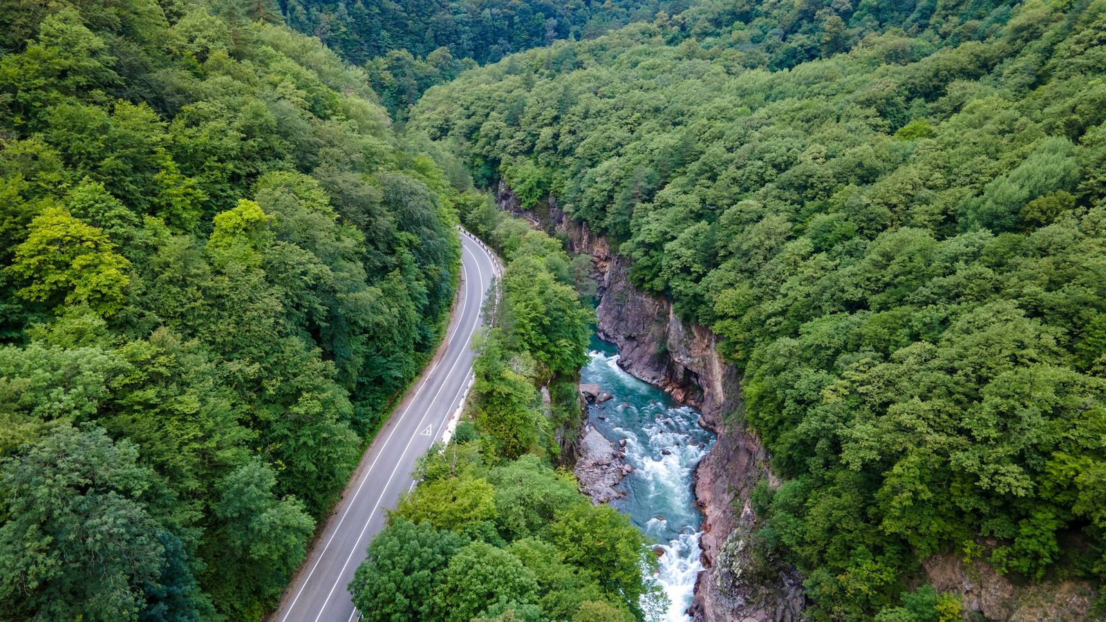
Difficulty, distance, and elevation gain: real variation depending on your route
Worth knowing before you commit: there are at least five documented approach routes to this summit. The classic Sugarloaf National Recreation Trail via Green Canyon runs roughly 10–12 miles round trip with 2,500–3,360 feet of gain, meaningfully more than a shorter combination-route estimate closer to 7 miles that some trip planners cite. Confirm which version you’re planning before you go.
What you’ll see: a quiet summit taking in both San Gorgonio and Big Bear
At 9,952 feet, the summit itself is mostly tree-obscured, but the approach through old-growth forest delivers real solitude, and open stretches along the way show both San Gorgonio Mountain and the Big Bear basin at once, a nice tie-together of two other flagship destinations in this county’s trail network.
Best time to hike Sugarloaf Mountain: June through October
Snow closes the access road in winter, and spring brings mud that can strand even capable vehicles, this is a warm-season trail in practice, regardless of the calendar-based “fall for fewer crowds” framing you’ll sometimes see.
Siberia Creek Trail: about 3 miles to a real destination, not the 7-mile canyon trail you may have read about
This trail needs more explanation than the other four, so bear with me.
Trailhead access: shared with the Champion Lodgepole Pine Trailhead, Fawnskin
This is trail 1W04, departing from the same Forest Service Road 2N11 trailhead as the Champion Lodgepole Pine Trail covered in my Big Bear guide, but heading a completely different direction into a steep canyon. No permit or fee required.
Difficulty, distance, and elevation gain: about 3 miles round trip, reliably
The Forest Service’s own current-conditions page for this trail is direct about this: it’s officially maintained for about 1.5 miles to a rock formation called “Gunsight,” rated easy, with roughly 600 feet of elevation change. Beyond Gunsight, the historic route continuing another 5-plus miles to Bear Creek has become overgrown with heavy brush in recent years and is not realistically passable. Plan around the 3-mile round trip to Gunsight, not a longer canyon trek.
What you’ll see: the Gunsight rock formation, with a rare glimpse of the ocean
Gunsight itself is two large boulders resembling a rifle’s rear sights, with genuinely spectacular southern views, Saddleback Mountain above Lake Elsinore, Mount Palomar, and on the clearest days, a distant glimpse of the Pacific. One important disambiguation: there’s a separate, similarly-named trail, “Clark’s Ranch/Siberia Creek Trail,” a different numbered route (1W10) from a different trailhead near Angelus Oaks, that’s currently closed under a Line Fire-related Forest Order.
That’s not this trail; don’t let a search result about that closure make you think this one’s inaccessible too.
Best time to hike Siberia Creek: spring for any creek flow at all
The creek itself often runs dry by late summer, so spring gives you the best shot at seeing actual water alongside the hike to Gunsight.
Seven Pines Trail: the quietest way into the San Gorgonio Wilderness
If Vivian Creek and South Fork both sound too popular, this is the trail built for hikers who want genuine solitude inside the same wilderness.
Trailhead access: Angelus Oaks, wilderness permit and Adventure Pass required
The trailhead sits near the small community of Angelus Oaks on Highway 38, using the same permit system as Vivian Creek and South Fork.
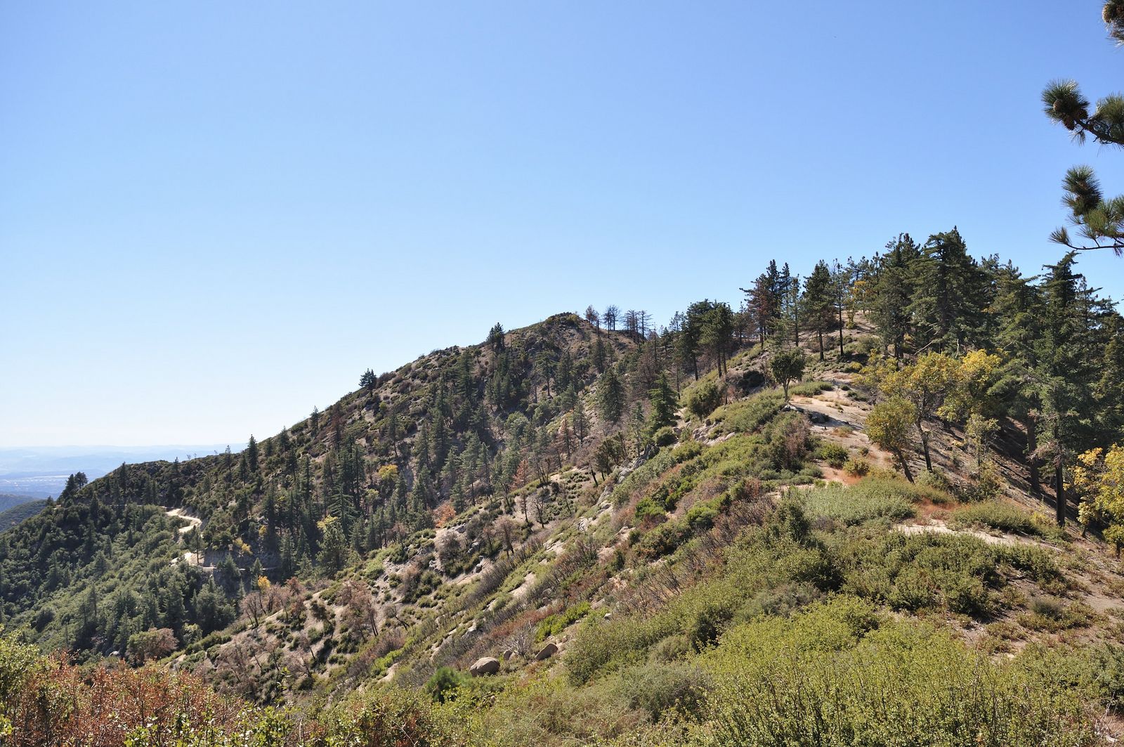
Difficulty, distance, and elevation gain on the least-traveled approach
Pushed all the way to the San Gorgonio summit ridge, this runs up to 14 miles round trip with about 4,000 feet of gain, shorter turnaround options exist if you don’t want the full push.
What you’ll see: dense forest and backcountry meadows, with far fewer people
This is consistently described as one of the wilderness’s quietest approaches, genuine backcountry solitude on trails that see a fraction of Vivian Creek’s or South Fork’s weekend traffic.
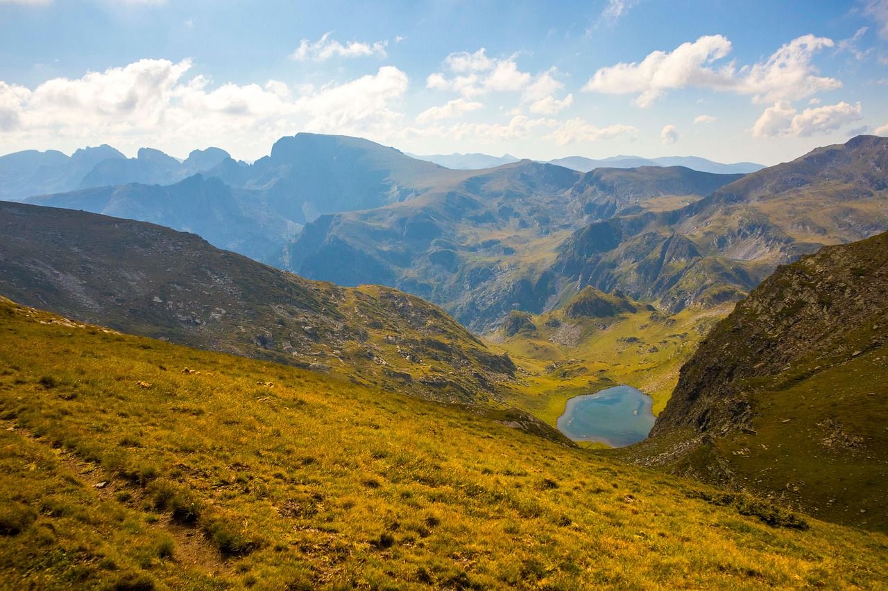
Best time to hike Seven Pines: an off-season solitude option
The same snow-season restrictions apply here as elsewhere in the wilderness, but this trail’s low traffic means even summer weekends feel genuinely quiet compared to the rest of this list.
Which of these five to hike first
If a true summit is the whole point, Vivian Creek to San Gorgonio is unmatched, but reserve your permit well ahead. If you want wilderness scenery without the full commitment, South Fork to Dollar Lake is the better day. And if the permit system itself is the barrier, Sugarloaf Mountain gets you real elevation and real solitude without it.
For the rest of this county, my desert trails and Mojave National Preserve guide are a complete change of scenery from everything in this guide, trade pine forest and altitude for open desert and Route 66 nostalgia.
Frequently asked questions
Do you need a permit to hike San Gorgonio Mountain?
Yes, a free San Gorgonio Wilderness permit is required for both day and overnight use, issued by the San Gorgonio Wilderness Association. During peak season (roughly Memorial Day through November), advance reservations fill quickly for popular trailheads like Vivian Creek.
How hard is it to summit San Gorgonio Mountain?
Genuinely hard, 16 to 19 miles round trip with over 5,000 feet of elevation gain via the shortest route, at altitudes exceeding 11,000 feet where thinner air affects most hikers regardless of fitness level.
Is San Gorgonio the tallest mountain in Southern California?
Yes, at 11,503 feet, San Gorgonio Mountain is the highest peak in Southern California.
Is the San Bernardino Mountains’ Sugarloaf the same as other Sugarloaf peaks in the U.S.?
No, “Sugarloaf” is a common mountain name nationwide, including a well-known peak in Maryland. This guide covers the San Bernardino County version, near Big Bear Lake.
When does snow close San Bernardino Mountains trails?
Typically from late fall through late spring at higher elevations, especially on San Gorgonio itself, where the summit route is really only reliably safe from June through October.
Which San Bernardino Mountains trail is least crowded?
Seven Pines Trail is consistently the quietest of the wilderness-permit trails in this guide, and the short Siberia Creek hike to Gunsight sees far less traffic than Big Bear’s more famous trails covered elsewhere in this site.