5 Best Hiking Trails Along the Marin Coastline, From a Historic Race Route to a Rare Tidefall
This guide covers Hiking Trails in the Marin Coastline descent and ridge trails outside the Headlands guide and outside the main Point Reyes landmarks. What’s left is genuinely varied: the oldest trail race course in America, a ladder-assisted redwood canyon descent, a ridge with two bodies of water in view at once, and one of California’s only true tidefalls. One note up front: this guide includes the trail with the most serious safety considerations in this whole series, so read the Alamere Falls section carefully.
Disclosure: Please note that some of the links below are affiliate links and at no additional cost to you, I may earn a commission. Know that I only recommend hiking gear I personally stand behind; when you use my affiliate links, it helps me run this blog and keep all of this content free of charge for readers (like you).
Key takeaways
- Best easy stop: Muir Beach Overlook, a short, free clifftop walk to WWII-era bunkers and sweeping Pacific views.
- Most historic: Dipsea Trail, the route of the oldest trail race in America, run every year since 1905.
- Most distinctive descent: Steep Ravine Trail, a redwood canyon with a fixed wooden ladder past a waterfall.
- Best two-ocean-view payoff: Bolinas Ridge Trail, a rare vantage with both the Pacific and Tomales Bay in the same panorama.
- Rarest destination, and the one requiring real caution: Alamere Falls, a genuine tidefall, but the popular “short” route to it is an unmaintained cliff scramble the National Park Service explicitly warns against.
- Check current trail status before any hike in this guide; two of these five had active, recent access changes as of this writing.
How these five coastal trails compare
| Trail | Distance | Elevation gain | Difficulty | Best for |
|---|---|---|---|---|
| Muir Beach Overlook | ~0.2-1 mi (route-dependent) | Under 200 ft | Very easy | Quick stop, WWII history |
| Dipsea Trail | ~7.4-7.5 mi one-way | ~2,200 ft | Strenuous | Historic race route |
| Steep Ravine Trail | ~2.2-3.6 mi one-way | ~1,000-1,500 ft | Moderate-strenuous | Redwood canyon, ladder descent |
| Bolinas Ridge Trail | Up to 22 mi round trip | ~500-1,500 ft (turnaround-dependent) | Easy-strenuous | Two-water-body views |
| Alamere Falls | 8.4 mi (unofficial) or 13.2 mi (official) round trip | ~1,300-2,000 ft | Strenuous | Rare tidefall, read the caution below |
Muir Beach Overlook Trail
This is the trail for anyone who wants a genuine Marin coastal payoff without committing to an actual hike; pull off Highway 1, walk a few minutes, and you’re looking at one of the best clifftop views in the county.
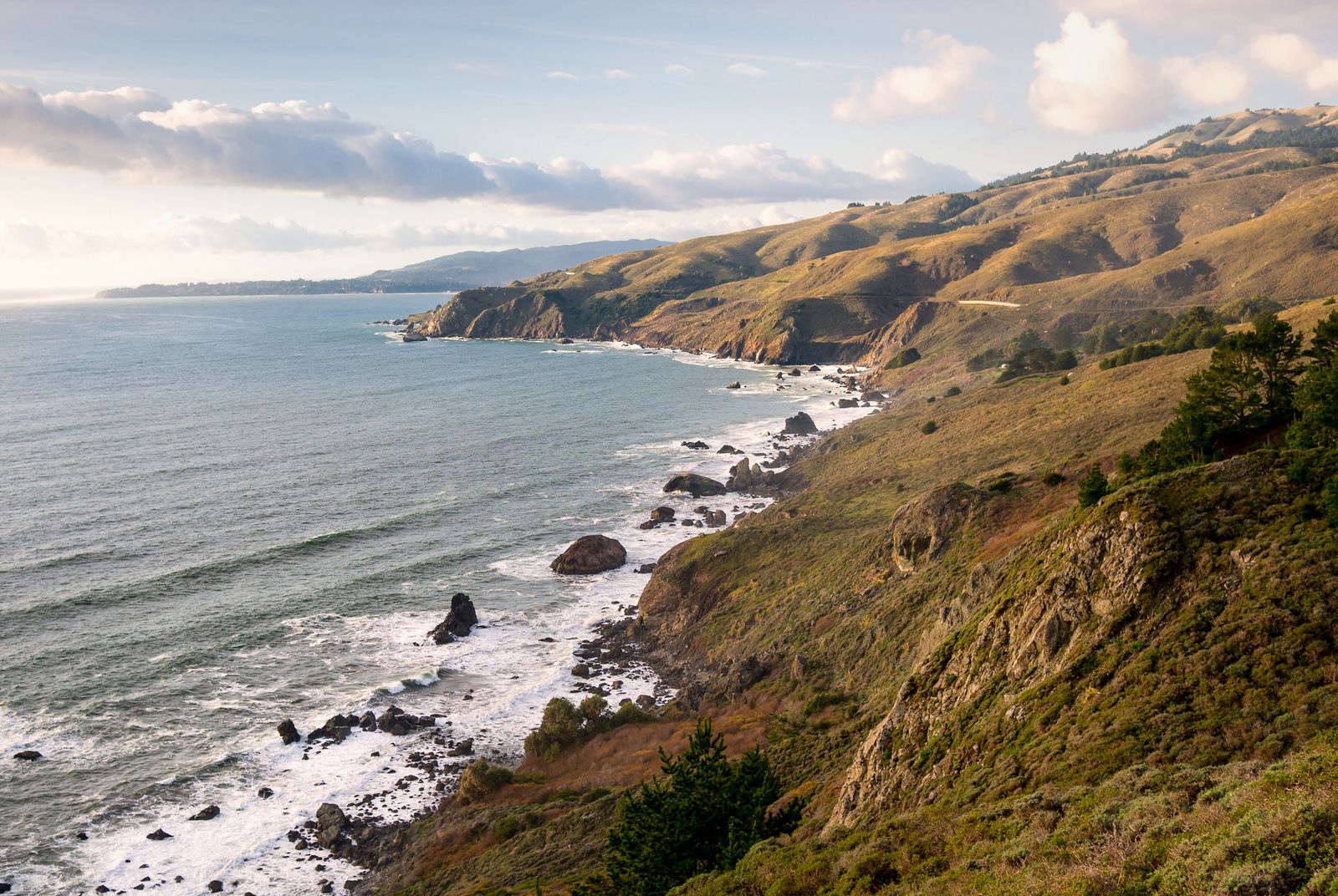
Trailhead access and parking at the Muir Beach Overlook, Highway 1
A small free lot off Highway 1 holds space for roughly a dozen cars, with a restroom on site, the most drive-up-convenient trailhead in this entire guide. It fills on weekends, but turnover is fast since most visitors only stay 15-20 minutes.
Difficulty, distance and elevation gain on the Muir Beach Overlook loop
The core walk down the stairs to the main viewpoint is as short as 0.2 miles round trip; extending along the connecting Coastal Trail spur toward Coyote Ridge stretches that closer to a mile with under 200 feet of elevation change either way. This is the shortest, easiest trail in all of Marin County.
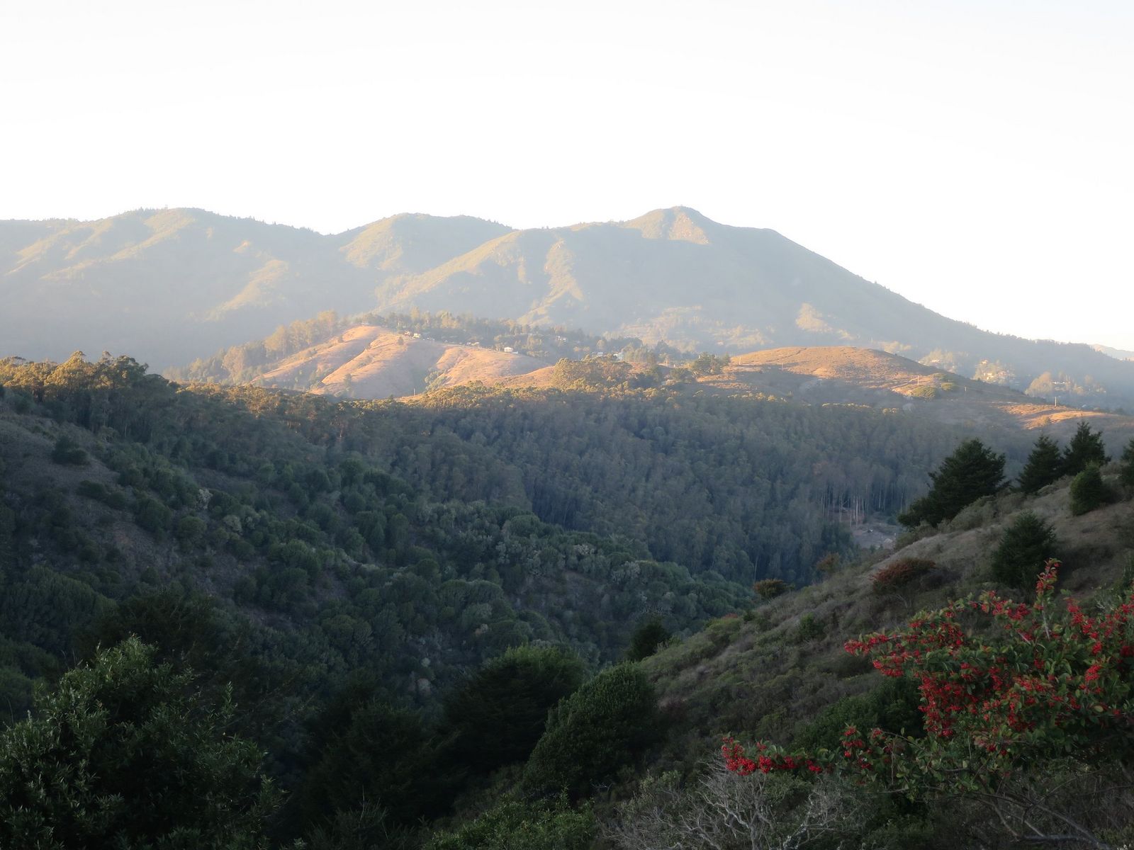
What you’ll see: sweeping views of the Marin coastline and former WWII bunkers
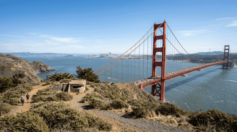
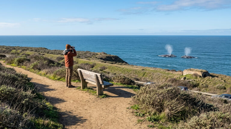
The overlook holds several preserved WWII-era “base end stations”, bunkers where soldiers once tracked ships along the coast, coordinating with other lookout points to defend San Francisco Bay, an echo of Battery to Bluffs back in the Marin Headlands guide at a different site. On a clear day, you can also see toward Point Reyes and, between November and June, watch for migrating blue whales offshore.
Best time to hike Muir Beach Overlook: sunset over the Pacific
This unobstructed westward view makes it one of the easiest genuine sunset spots in Marin, no real hike required to earn the payoff, which is rare on this list.
Dipsea Trail (Mill Valley to Stinson Beach)
This is the most storied trail in this entire Marin batch: the route of the Dipsea Race, the oldest trail race in America, run continuously since 1905.
Trailhead access and parking at Old Mill Park, Mill Valley
The trail starts at Old Mill Park in downtown Mill Valley, with free town parking nearby, one of the more historic trailheads on this whole site, marked by the same stairs generations of Dipsea racers have climbed. One practical note: the trail passes through Muir Woods National Monument partway along, which charges its own entrance fee; some hikers go clockwise (Stinson Beach to Mill Valley) specifically to avoid that stretch.

Difficulty, distance, and elevation gain on the historic Dipsea Trail
The trail runs about 7.4 to 7.5 miles one-way with roughly 2,200 feet of elevation gain, starting with nearly 700 steps in the first mile alone (sources cite anywhere from about 670 to 700 depending on how they’re counted). This is a genuinely demanding endurance route, not a casual outing.
What you’ll see: the route of America’s oldest trail race
The Dipsea Race has run nearly every year since 1905, making it the oldest trail race in the country, with a distinctive handicap system that lets runners of any age compete on equal footing. Along the way, you’ll pass sections with names earned the hard way, Dynamite, Cardiac, Insult Hill, before the trail eases into the final stretch toward Stinson Beach.
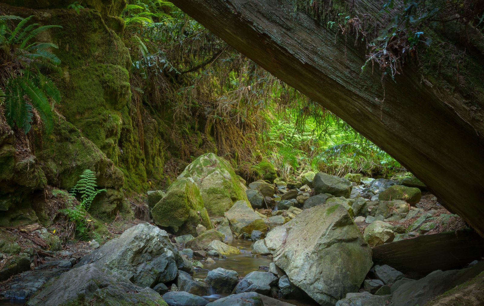
Best time to hike the Dipsea Trail: avoid race weekend in June
The Dipsea Race is held every year on the second Sunday in June, and the course is partially closed to non-runners that day; check the date before planning a June trip here. Outside race day, the trail is open and hikeable year-round.
Steep Ravine Trail
This is the trail for redwood-canyon scenery with a genuine physical challenge built in; a fixed wooden ladder is the only way up (or down) past one of the waterfalls along the route.
Trailhead access and parking at the Pantoll Ranger Station, Mount Tamalpais State Park
Pantoll charges a day-use parking fee (historically around $8, cash often preferred; confirm the current rate), with free but limited roadside parking across the street as backup. A current status check is genuinely necessary here: as of a recent trail report, the upper section of Steep Ravine between Pantoll and the Dipsea Trail junction has been closed; confirm access on the park’s conditions page before you drive out.
Difficulty, distance, and elevation gain down Steep Ravine to Stinson Beach
Figure roughly 2.2 miles one-way for the core Steep Ravine descent itself, extending to about 3.6 miles if you count the connecting distance into Stinson Beach proper, with 1,000 to 1,500 feet of elevation change depending on your exact route and turnaround point. Most hikers do this as a one-way shuttle or an out-and-back to the ladder and back.
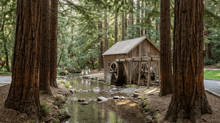
What you’ll see: a ladder-assisted creekside descent through redwoods
The trail follows Webb Creek through a lush redwood canyon, crossing the creek repeatedly and passing at least one significant waterfall; a fixed 10-foot wooden ladder gets you past the steepest pitch. For more trails built around this kind of redwood-canyon scenery, our Redwood National and State Parks trail guide covers Northern California’s larger old-growth systems.
Best time to hike Steep Ravine: combine with a Stinson Beach day
Locals commonly pair this with a Stinson Beach visit, hike down via Matt Davis Trail, spend time at the beach, then climb back up through Steep Ravine’s shade, which stays noticeably cooler than the exposed sections elsewhere on Mount Tam even on a hot day. Dogs are not permitted anywhere in Mount Tamalpais State Park, including this trail.
Bolinas Ridge Trail
This is the longest trail in this guide by a wide margin, and also one of the most flexible, you can turn around at almost any point and still get a real payoff.
Trailhead access and parking at the Bolinas Ridge trailhead, Sir Francis Drake Blvd
Free roadside parking is available at the northern trailhead off Sir Francis Drake Boulevard, with a cattle-guard entrance for hikers (bikers need to lift bikes over a fence). It’s the most inland-starting trailhead in this guide, despite the coastal-water payoff waiting on the ridge.
Difficulty, distance and elevation gain along Bolinas Ridge
Here’s a correction worth making clear: this trail runs 11 miles one-way (22 miles round trip if hiked end to end) to its southern terminus near Mount Tamalpais, not “up to 11 miles round trip” as it’s sometimes described. Elevation gain for the full one-way distance runs around 1,500 feet, but most visitors turn around well before that; even a short 2-2.8-mile round trip from the northern trailhead delivers real views for a fraction of the effort.
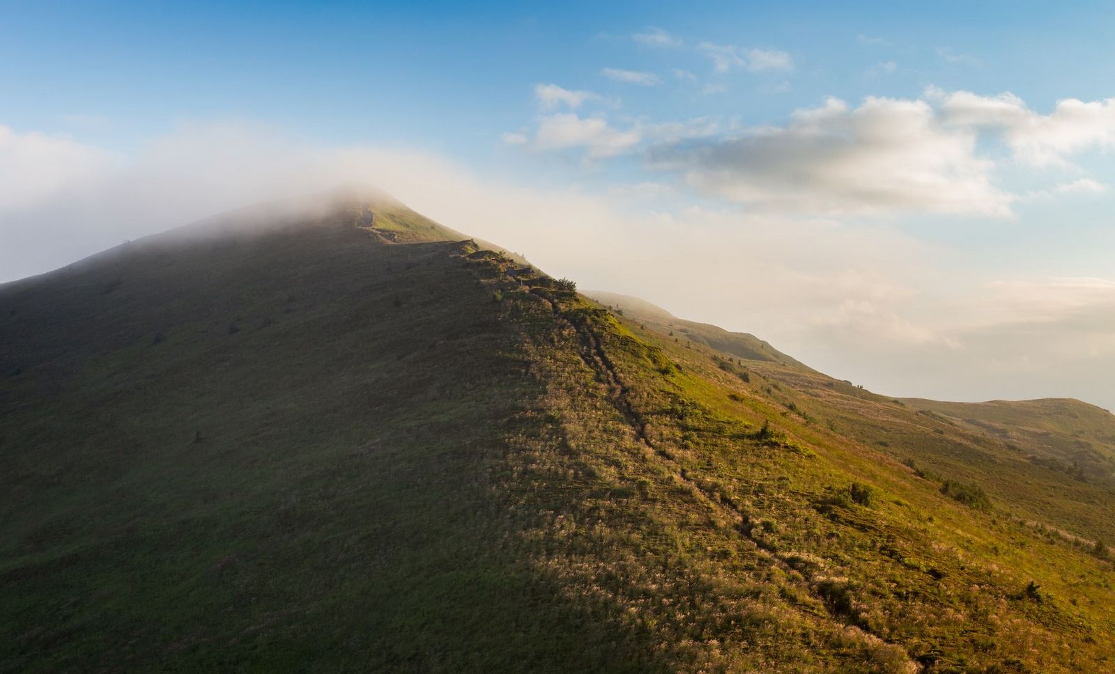
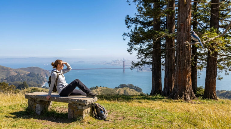
What you’ll see: uninterrupted views of the Pacific and Tomales Bay
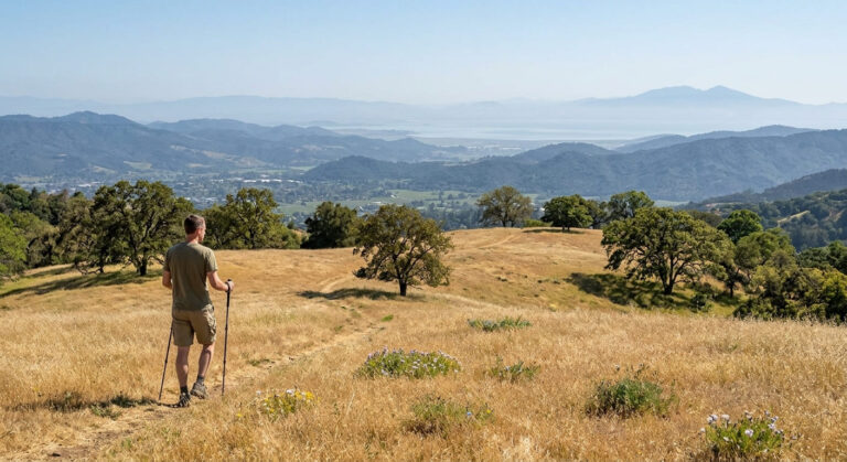
This is a rare vantage point that takes in Tomales Bay to the north and glimpses of the Pacific Ocean in the same panorama, along with the Olema Valley and San Andreas Rift Zone below. If you want to keep exploring Marin’s interior after this ridge, our Mount Tamalpais trails guide picks up near this trail’s southern end.
Best time to hike Bolinas Ridge: clear days for the two-water-body payoff
Like most exposed ridgelines in Marin, fog can erase this view entirely, clear winter and early spring days tend to offer the sharpest visibility of both bodies of water at once. Leashed dogs are welcome here, unlike the Steep Ravine and Dipsea trails on Mount Tamalpais’ state park land.
Alamere Falls Trail (via Palomarin Trailhead)
I need to be direct about this one, because most of what’s written online about this hike understates a real safety issue. Alamere Falls is a genuine tidefall, one of only a couple in California, alongside the better-known McWay Falls in Big Sur, and it’s worth seeing. How you get there matters more than the heading suggests.
Trailhead access and parking at the Palomarin Trailhead, Bolinas
The Palomarin lot at the end of Mesa Road outside Bolinas is free but fills early on weekends. This is the shortest of three official trailheads to Alamere Falls, the others, Bear Valley and Five Brooks, are considerably longer.
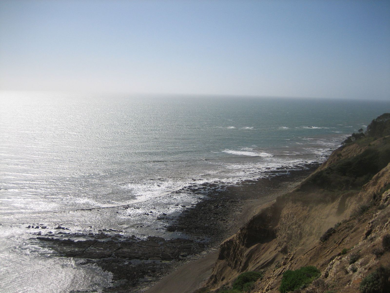
Difficulty, distance, and elevation gain to Alamere Falls: an important correction
Here’s the correction: the commonly cited “8.4-mile round trip” figure describes an unofficial, unmaintained shortcut down a crumbling shale cliff face, a route the National Park Service explicitly and repeatedly advises against, citing weekly injuries and periodic search-and-rescue callouts.
The NPS’s own recommended route from Palomarin is 13.2 miles round trip, via a maintained trail to Wildcat Beach and then a beach walk to the falls, which requires timing your visit around low tide, since the route is impassable when waves reach the base of the bluffs.
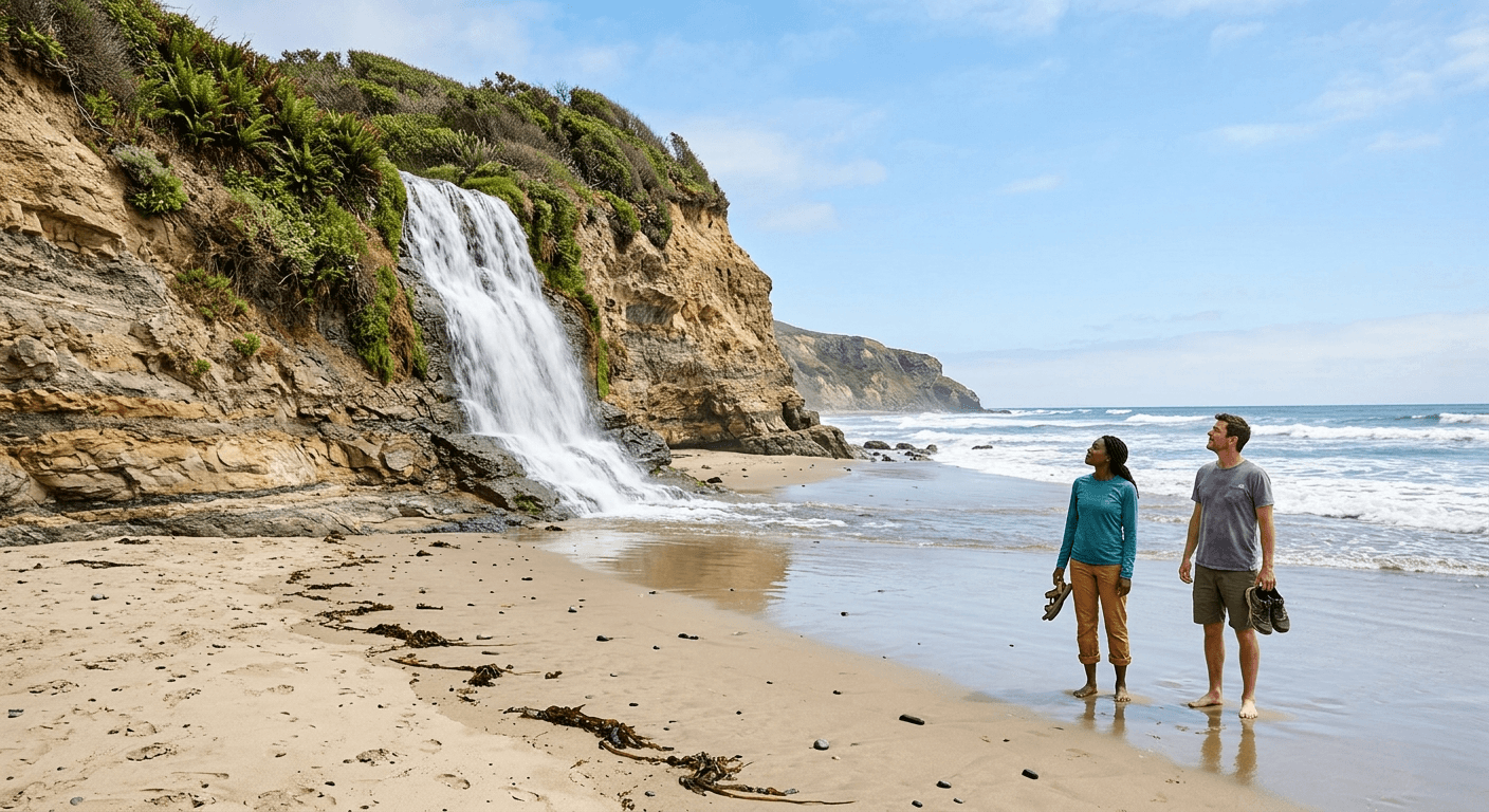
What you’ll see: a rare tidefall cascading directly onto the beach
Alamere Falls drops about 40 feet directly onto Wildcat Beach, a genuinely rare sight, since a true tidefall (a waterfall that empties straight into the ocean) exists in only a small handful of places worldwide. Upstream, a series of smaller cascades add to the scene before the final drop.
Best time to hike Alamere Falls: winter and spring for peak flow, and always check the tide
Winter and spring rains feed the creek, so flow is strongest then and can thin to a trickle by late summer in a dry year, but tide timing matters more than season for actually reaching the falls safely, regardless of which route you take. Check tide predictions before you go, and never attempt the beach approach if waves are already reaching the bluffs. Dogs are prohibited on all trails leading to Alamere Falls.
The bottom line
Start with Muir Beach Overlook for a payoff with zero commitment, and save the Dipsea Trail for when you’re ready for a genuine endurance hike with real history behind it. Steep Ravine and Bolinas Ridge both reward flexible planning; check current status for the former, and pick your own turnaround point on the latter. Alamere Falls is worth the effort, but take the National Park Service’s routing seriously rather than following the shortcut most photos online don’t mention, and be sure to check our full Point Reyes hiking overview for more coastal trips. This guide is part of our full Marin County hiking guide; if several of these feel like more than you’re looking for, our family-friendly Marin trails guide covers gentler options countywide.
Frequently asked questions about hiking trails along the Marin coastline
Is the Dipsea Trail the oldest trail race in America?
Yes, the Dipsea Race has run nearly every year since 1905, making it the oldest trail race in the United States, held annually on the second Sunday in June.
Is Steep Ravine Trail dangerous?
Not inherently, but it does require climbing a fixed 10-foot wooden ladder past a waterfall, and the terrain is steep and often wet. Check current trail status before you go, since a section has had recent closures.
What is a tidefall, and is Alamere Falls one?
A tidefall is a waterfall that empties directly into the ocean rather than into a river or lake, a genuinely rare geologic feature. Alamere Falls is one of only a couple of true tidefalls in California, along with McWay Falls in Big Sur.
Is Bolinas Ridge Trail good for biking too?
Yes, it’s a wide, gently graded fire road that’s popular with mountain bikers as well as hikers, and dogs on leash are welcome too.
How do you get down to Muir Beach from the Overlook?
The Overlook itself is a separate clifftop viewpoint about a mile north of Muir Beach proper on Highway 1, you don’t hike down to the beach from here. To reach Muir Beach itself, you’ll drive or hike in separately via the main Muir Beach access road.
Are Marin’s coastal trails dog-friendly?
It varies significantly by trail in this specific guide: Bolinas Ridge and Muir Beach Overlook welcome leashed dogs, while Steep Ravine, Dipsea (where it crosses Muir Woods), and all routes to Alamere Falls prohibit them. Check the specific trail before you bring one along.