California Trail Weather Hazards: How to Spot Heat, Fog, and Sudden Storms Before They Turn Dangerous
California’s weather doesn’t ease you into danger; it hides it behind 300-plus days of sunshine a year. The same trailhead that reads 68°F (20°C) at 8 a.m. can be a 105°F (41°C) canyon by noon, a lightning-lit ridge by 2 p.m., or a fog-soaked, wind-chilled coastline by evening. I’ve spent years cataloguing trail conditions across this state, and the pattern repeats itself constantly: hikers get hurt by weather they didn’t think California could produce. This guide breaks down exactly which weather hazards to plan around, the specific thresholds that matter, and what to do when conditions turn on you mid-hike.
Disclosure: Please note that some of the links below are affiliate links and at no additional cost to you, I may earn a commission. Know that I only recommend hiking gear I personally stand behind; when you use my affiliate links, it helps me run this blog and keep all of this content free of charge for readers (like you).
Key Takeaways
- Heat is the top killer on California trails, not wildlife: hyperthermia can disable you in under an hour above 100°F (38°C) on an exposed desert trail.
- Sierra thunderstorms run on a clock: storms build from noon to 4 p.m. most summer days; plan to be off exposed ridges before that window opens.
- Fog is a warm-weather hypothermia risk: coastal marine layer plus wind can drop your core temperature even in July.
- Santa Ana winds combine two hazards at once: dangerous gusts and a wildfire risk spike; treat a Red Flag Warning as a hard no.
- Your phone’s weather app isn’t built for mountains: it forecasts your city, not the trailhead 4,000 ft (1,219 m) above it.
- As of July 2026, fire potential is running above normal statewide: Build an air quality check into every summer trip, not just the smoky-looking ones.
Why California’s Weather Is Uniquely Dangerous for Hikers
Most people picture California as one climate, sunny, mild, maybe a little foggy near the coast. That picture is exactly what gets hikers into trouble. On the same day, in the same state, you can have 115°F (46°C) heat in Death Valley, a thunderstorm building over a 13,000 ft (3,962 m) Sierra pass, and 55°F (13°C) fog rolling into Point Reyes.
I’ve hiked and researched trails across all of these zones, and my honest take is that California’s real danger isn’t any single hazard; it’s the deception. You don’t get the obvious cues of a classic four-season climate, no gradual buildup, no “everyone knows not to hike in a blizzard” instinct. The trail can look and feel completely safe right up until it isn’t.
How Quickly California Mountain Weather Can Turn Dangerous
Sierra Nevada weather runs on a schedule, and it’s worth memorizing. Summer mornings are almost always clear and calm, deceptively perfect for an ambitious start. Then, as the sun heats the peaks and pulls moisture upward, clouds stack by late morning, and by early afternoon, usually noon to 4 p.m., you’re looking at full-blown thunderstorms on exposed ridgelines.
Coastal marine layer follows its own clock too: it typically burns off by late morning, then rolls back in by evening, catching hikers who start a coastal trail at 2 p.m. thinking they’ve got sun the rest of the day. In the desert, a 40°F (22°C) day-to-night swing is normal in Joshua Tree and Death Valley, and I’ve met hikers who packed for a 95°F (35°C) afternoon and got dangerously cold overnight. Plan for the swing, not the snapshot.
Heat Hazards: Hyperthermia, Heat Exhaustion, and Heat Stroke on California Trails
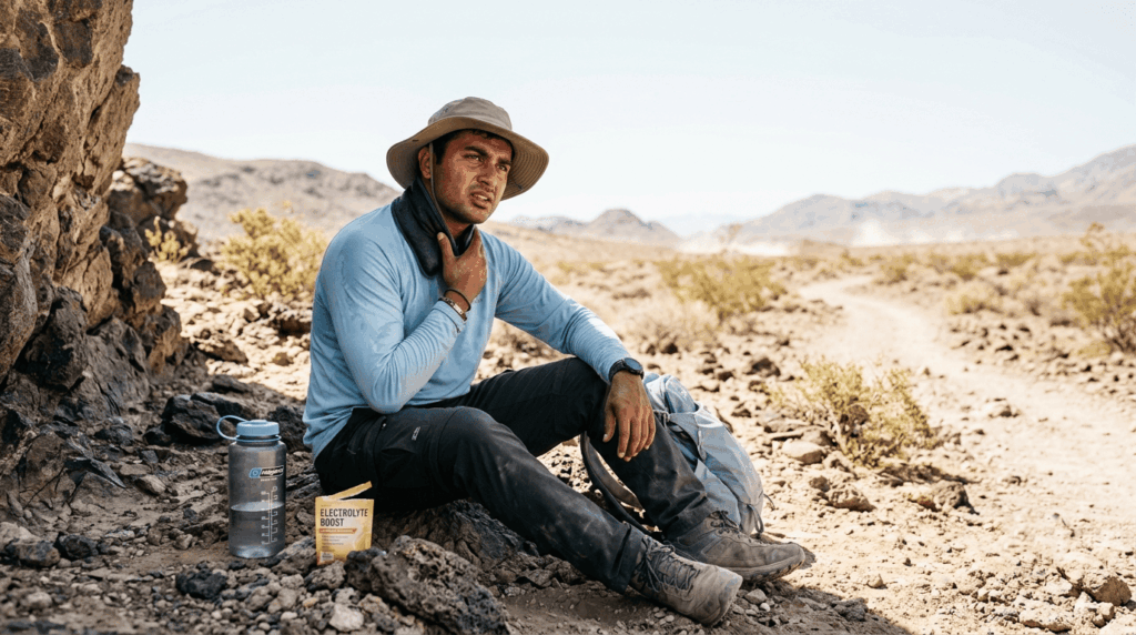
Heat is the hazard I take most seriously on California trails, more than mountain lions, more than rattlesnakes, more than exposure. Hyperthermia is the umbrella term for your body overheating, and it moves through two stages that matter to a hiker: heat exhaustion, serious but reversible, and heat stroke, a 911 emergency. The interior valleys, the Mojave, and Death Valley produce some of the most punishing hiking heat in the country, and I’ve watched experienced hikers underestimate it simply because a trailhead sign doesn’t scream “this can kill you” the way a cliff edge does.
How to Recognize Heat Exhaustion vs Heat Stroke on a California Trail
The difference comes down to whether your body is still sweating and whether your mind is still clear. Heat exhaustion looks uncomfortable; heat stroke looks like an emergency:
| Sign | Heat exhaustion | Heat stroke |
|---|---|---|
| Skin | Pale, cool, clammy, heavy sweating | Hot, red, dry or barely sweating |
| Pulse | Fast, weak | Fast and strong (bounding) |
| Mental state | Dizzy, headache, irritable — still coherent | Confused, slurred speech, possible unconsciousness |
| Body temperature | Usually under 104°F (40°C) | 104°F (40°C) or higher |
| What to do | Stop, find shade, hydrate with electrolytes, cool with wet cloths, rest 30+ min | Call 911 immediately — cool the body by any means available while help is on the way |
My rule: if there’s any doubt about mental confusion, treat it as heat stroke and call for help. That’s not overreacting; it’s the correct default.
What Temperature Is Too Hot to Hike in California?
I use 100°F (38°C) as my stop sign for midday hiking at low-desert elevation, and NPS guidance for places like Death Valley backs this up: staff steers visitors away from strenuous, low-elevation hiking after 10 a.m. once summer heat sets in. Above 105°F (41°C), I skip exposed desert trails entirely, no matter how short the mileage looks.
Shade matters as much as the thermometer. A 6.2 mi (10 km) trail with zero shade at 95°F (35°C) is more dangerous than a shorter trail at 100°F (38°C) that stays in a canyon’s shadow until 11 a.m. Check a trail’s sun exposure, not just the forecast high.
How to Prevent Heat-Related Illness on California’s Desert and Inland Trails
Start before 7 a.m., and it buys three or four extra hours before the heat peaks. I carry one liter of water per hour of hiking on any desert trail, more with zero shade. Soak a cooling neck wrap and re-wet it at every water source, sip electrolytes on a schedule instead of waiting until you’re thirsty, and build in shade stops before you feel like you need them. The biggest mistake I see: treating water as the only variable electrolyte loss from heavy sweating is just as dangerous as dehydration.
Lightning and Thunderstorm Hazards in the Sierra Nevada and Mountain Trails
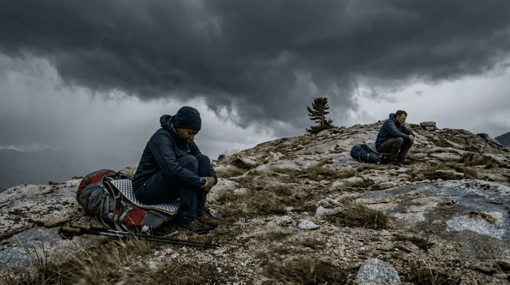
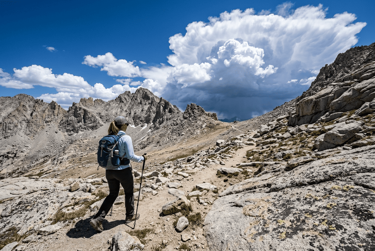
Afternoon thunderstorms are one of the most predictable hazards in California hiking, which is exactly why they catch people off guard; predictable doesn’t mean people plan for it. Exposed ridgelines and above-treeline passes in the Sierra Nevada see convective storms build almost daily through summer, and lightning on an open ridge is one of the most dangerous situations a hiker can find themselves in.
When Do Thunderstorms Hit California Mountain Trails? Timing and Patterns
The Sierra Nevada’s classic pattern builds from roughly noon to 4 p.m., driven by daytime heating that pulls moisture up over the peaks. Southern California’s mountains add a second layer: monsoon moisture pushes north from Mexico and Arizona from July through September, stacking extra afternoon storm risk onto ranges like the San Gabriels and San Bernardinos.
My rule: if I’m summiting or crossing an exposed pass, I want to be off that ridge before noon. Not at noon, before it.
What to Do If a Thunderstorm Catches You on an Exposed California Trail
Get below treeline and off the ridge fast; elevation and openness are what make you a target, not the storm itself. If you can’t descend fast enough and lightning is close, spread your group out by at least 15 ft (4.6 m), avoid the tallest object nearby (including a lone tree), and crouch low on an insulated pack, feet together.
Use the 30-30 rule: count seconds between flash and thunder; under 30 means the storm is close enough to be dangerous. Wait a full 30 minutes after the last thunderclap before heading back into open terrain. The trail will still be there in half an hour; make sure you will be too.
Coastal Fog and Marine Layer Hazards on California Trails
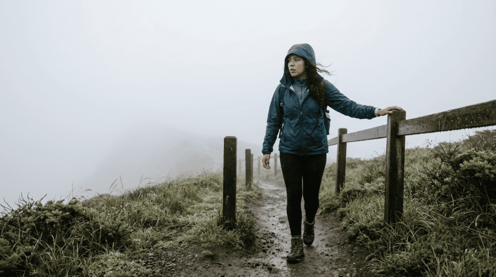
Coastal fog feels harmless because it’s quiet and slow-moving, but the marine layer is a legitimate weather hazard, not just a scenic inconvenience. It shows up most reliably in early summer, the “June Gloom” pattern, bringing sudden visibility loss, wet rock on coastal bluffs, and a wind-chill effect that catches hikers dressed for a warm California day.
How the Marine Layer Catches Coastal Hikers Off Guard in California
The marine layer typically burns off by mid-to-late morning and rolls back in by early evening, so a hiker starting a coastal trail at 1 or 2 p.m. can walk straight into socked-in fog. Point Reyes and the Marin Headlands are notorious for this; trails that look wide open on a clear morning can turn into a 20 ft (6 m) visibility whiteout by late afternoon. I pack a real layer for coastal hikes even in July; a sunny trailhead photo tells you nothing about the bluff two miles out.
Hypothermia Risk on California’s Foggy Coastal and Mountain Trails
Hypothermia doesn’t need freezing temperatures; it needs wet, wind, and time, and coastal fog delivers all three even at 55–60°F (13–16°C). This is the “cotton kills” scenario: a cotton shirt holds moisture against your skin and pulls heat away from your body far faster than synthetic or wool layers do. My rule for any coastal trail, regardless of season: pack a wind layer and a non-cotton base layer, even when the forecast says warm and clear.
Wind Hazards on California’s Exposed Alpine and Desert Trails
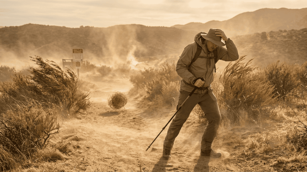
Wind gets underrated as a hiking hazard because it’s invisible on a map, but exposed passes, desert washes, and ridgelines can produce gusts strong enough to knock you off balance, especially with a loaded pack. Add sand and grit in the desert, and wind becomes a visibility hazard too, not just a balance one.
Santa Ana Winds and High Desert Wind Hazards for Southern California Hikers
Santa Ana winds typically peak from September through November, though they can show up outside that window, combining dangerously dry, gusty conditions with a sharp spike in wildfire risk. I treat any Red Flag Warning as a hard no for Southern California desert and foothill trails, not “maybe be careful,” but “pick a different day.” Trail agencies sometimes close specific routes during high-wind events, so check the managing agency’s alert page directly before committing to anything exposed.
Checking Weather Before a California Hike: Tools and Resources
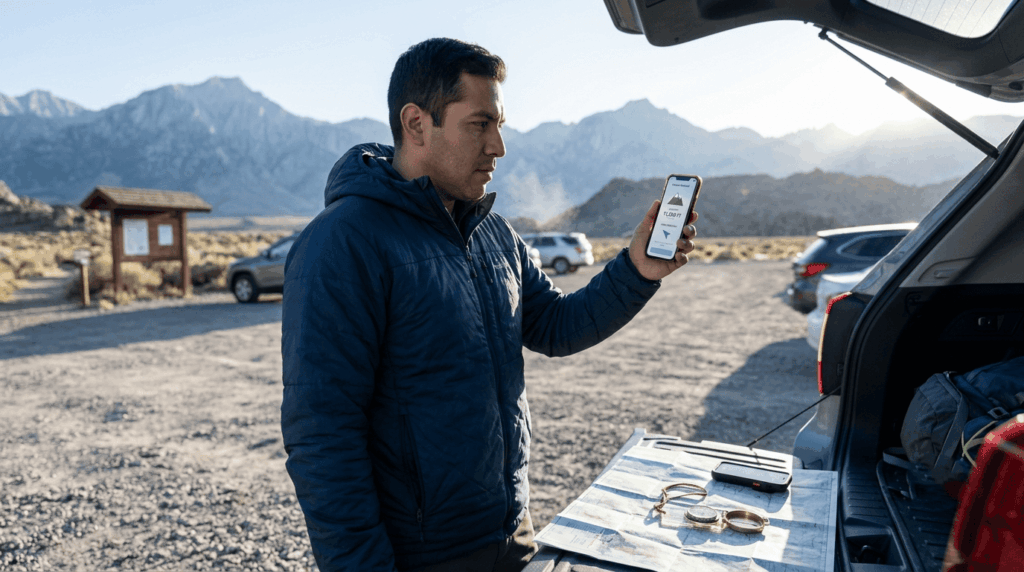
A city weather app tells you almost nothing useful about a trailhead at 9,000 ft (2,743 m) or a canyon twenty miles from the nearest weather station. I check at least two sources before any serious hike, and again the morning of.
Best Weather Apps and Forecasting Tools for California Trail Hikers
The National Weather Service’s point forecast tool (weather.gov) is my baseline; it drops a pin on the actual trailhead or summit rather than the nearest town, which matters enormously in mountain terrain. Mountain-Forecast.com adds elevation-specific detail built for this exact use case, and Windy.com is the one I open for wind speed and direction before an exposed ridge hike. AllTrails is useful for recent hiker-reported conditions, but it’s a “what did the trail look like yesterday” tool, not a forecast. I still cross-check Gaia GPS’s weather layer for backcountry trips.
If I had to boil this down to one habit: check the forecast for the elevation and time you’ll actually be exposed, not the daily high for the nearest city. California’s weather isn’t more dangerous than any other state’s; it’s just better at hiding behind all that sunshine. Learn the patterns, and you can plan around nearly all of them.
Wildlife, river crossings, and getting turned around on an unmarked junction are the other hazards I get asked about most. I’ve covered each in the wildlife hazards guide, the water hazards guide, and the navigation hazards guide. Planning around a month instead of a trial? My seasonal hazards calendar breaks down every region, month by month.
Frequently Asked Questions: Weather Hazards on California Trails
What temperature is too hot to hike in California?
I treat 100°F (38°C) at low desert elevation as a stop sign for midday hiking, and skip exposed trails entirely past 105°F (41°C). NPS guidance for Death Valley is blunt: avoid strenuous, low-elevation hiking after 10 a.m. once summer heat sets in.
What should I do if a thunderstorm hits while I’m hiking in the Sierra Nevada?
Get off the ridge and below treeline immediately, spread out from your group by at least 15 ft (4.6 m), and crouch low on your pack, feet together, if lightning is close. Use the 30-30 rule: if thunder follows lightning in under 30 seconds, seek lower ground now and wait 30 minutes after the last strike before moving back into the open.
Is it safe to hike in California during wildfire season?
It depends on the day, not the season. Check CAL FIRE’s incident map and AirNow.gov‘s AQI for your trail’s county, and treat anything above 150 AQI as a turnaround signal. As of July 2026, fire potential is running above normal statewide, so build this check into every trip, not just the smoky-looking ones.
Can you get hypothermia in summer on California coastal trails?
Yes, wet fog, a 15 mph (24 km/h) wind, and a cotton t-shirt can drop your core temperature fast even at 60°F (16°C). Pack a wind layer and something synthetic or wool for any coastal trail, regardless of the inland forecast.
How do I check if a California trail is open after bad weather?
Start with the managing agency’s alerts page, NPS, CA State Parks, or the local National Forest, since they post storm closures fastest. AllTrails reviews from the last 24 to 48 hours are my second stop; they often catch downed trees and washouts first.
What is the best time of day to hike in the California desert to avoid heat?
Start at or before 6 a.m. and plan to be off the trail by 10 or 11 a.m., my window for Anza-Borrego or Joshua Tree between May and September. If you must be out later, pick a trail with real shade or elevation, not an open wash.