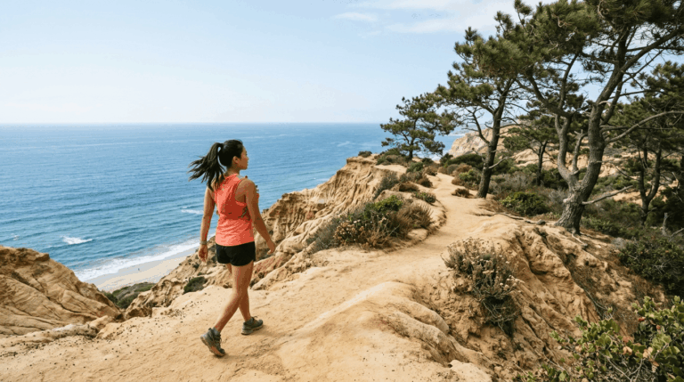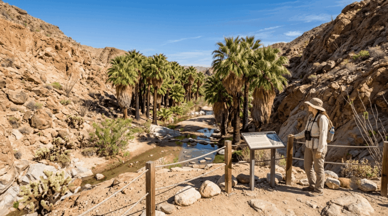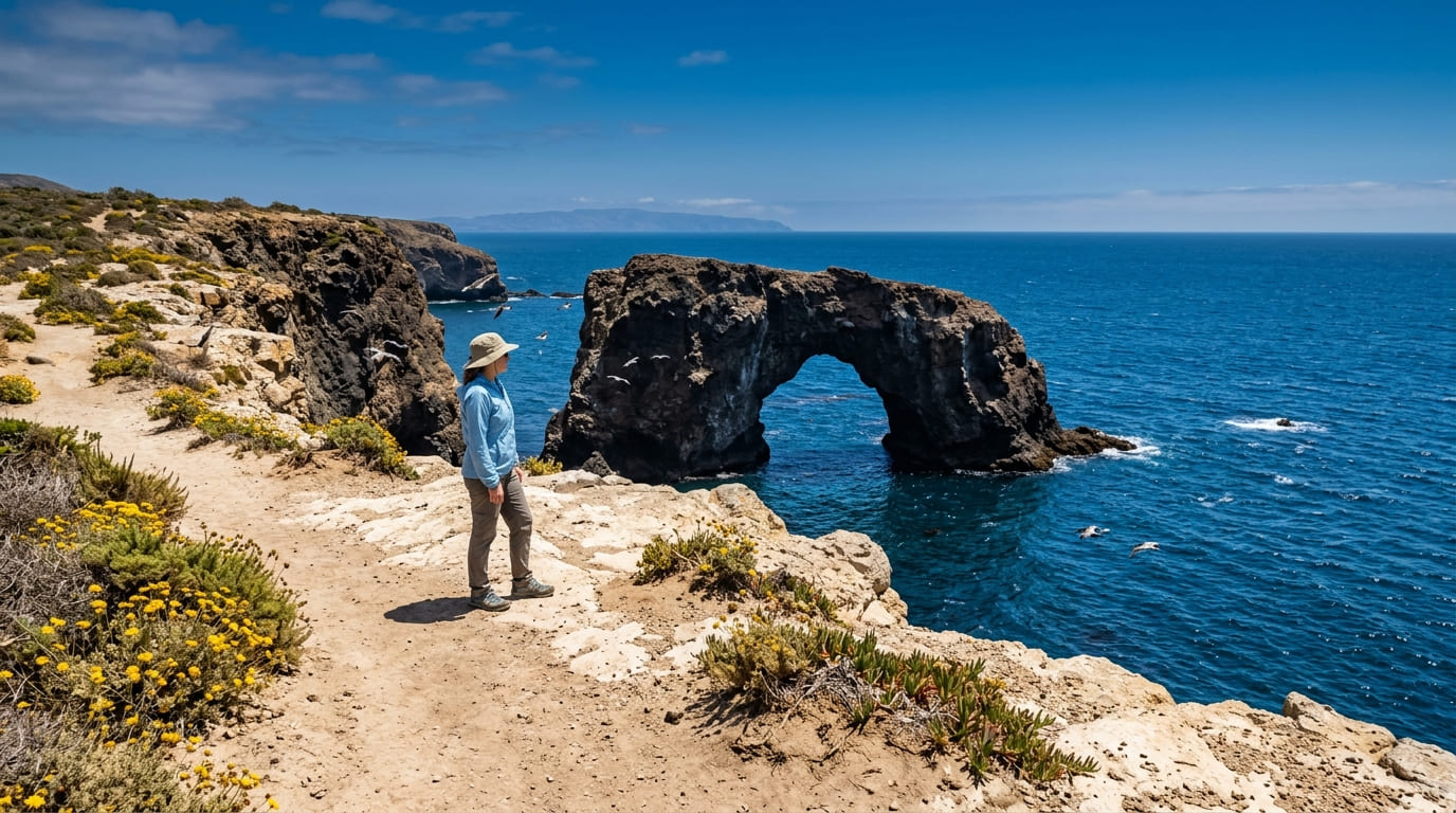
5 Best Coastal Hiking Trails in Ventura County, From a Boat-Access-Only Island to a Shaded Sycamore Canyon
The coastal hiking trails in Ventura range from a sprawling state park with 70 miles of paths to a national park island you can only reach by boat. This guide covers the coast specifically; for Ojai and the inland mountains, see our Ojai trails guide, part of our full Ventura County hiking guide.
Disclosure: Please note that some of the links below are affiliate links and at no additional cost to you, I may earn a commission. Know that I only recommend hiking gear I personally stand behind; when you use my affiliate links, it helps me run this blog and keep all of this content free of charge for readers (like you).
Key takeaways
- Best coastal-bluff-meets-mountain view: Ray Miller Trail, offering ocean bluffs paired with a distant view of Boney Mountain’s volcanic ridgeline.
- Best shaded alternative: Sycamore Canyon, a genuinely shaded canyon in the same state park as Ray Miller, with plumbed restrooms along the way.
- Most singular destination: Anacapa Island, which is boat-access-only and home to the largest California brown pelican breeding colony in the country.
- Best rare habitat: Santa Clara River Estuary, one of the last significant undeveloped river-mouth estuaries left on the Southern California coast.
- Easiest, most convenient: Emma Wood State Beach, a flat beachfront path connecting directly into downtown Ventura.
- Point Mugu State Park (Ray Miller and Sycamore Canyon) charges a day-use fee and doesn’t allow dogs on trails; Emma Wood and McGrath allow leashed dogs in the campgrounds and day-use areas, but not on the beach.
How these five Ventura County coastal trails compare
| Trail | Distance | Difficulty | Fee/Access | Best for |
|---|---|---|---|---|
| Ray Miller Trail | ~6-7 mi loop (extendable) | Moderate-strenuous | State park day-use fee | Bluffs + Boney Mountain view |
| Sycamore Canyon Trail | ~6 mi round trip | Moderate | State park day-use fee | Shaded summer alternative |
| Anacapa Island (East) | ~2-2.4 mi loop | Easy (once landed) | Ferry required, ~$70-80 | Pelican rookery, sea arch |
| Santa Clara River Estuary | Short nature trail | Easy | State beach day-use fee | Rare wetland, bird watching |
| Emma Wood State Beach | ~1.5 mi loop | Easy | Free | Easiest, connects to downtown |
Ray Miller Trail (Point Mugu State Park)
Trailhead access and parking at La Jolla Valley, Point Mugu State Park
A day-use fee (around $12) applies at this trailhead near Thornhill Broome Beach, at the southern end of Point Mugu State Park, one of three distinct sections of a park that totals more than 70 miles of trails. Dogs are welcome in the campground and day-use areas but not on the trails themselves.
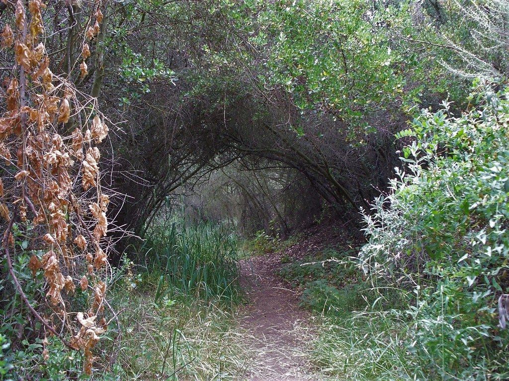
What you’ll see: sweeping ocean bluffs and Boney Mountain’s volcanic ridgeline
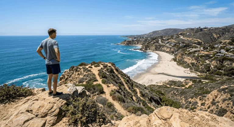
This loop, roughly 6 to 7 miles depending on exact route (with longer combined options via the Backbone and Overlook trails for those wanting more), climbs coastal bluffs with genuine ocean views before opening onto distant sightlines toward Boney Mountain’s jagged volcanic ridgeline, which offers a real combination of coastal and mountain scenery in one outing.
Some trail infrastructure here still reflects recovery from the 2018 Woolsey Fire, so trail signage in particular has been actively replaced in recent years.
Best time to hike Ray Miller Trail: spring for wildflowers, clear winter days for the farthest views
Spring brings wildflower bloom to the coastal grassland sections; winter’s typically clearer air often delivers the longest sightlines, a real tradeoff between two different kinds of good timing.
Sycamore Canyon Trail (Point Mugu State Park)
Trailhead access and parking at Sycamore Canyon Campground, Point Mugu State Park
A separate trailhead within the same state park as Ray Miller Trail is reached via the Sycamore Canyon Campground. The same day-use fee applies, and camping is available here through Reserve California.
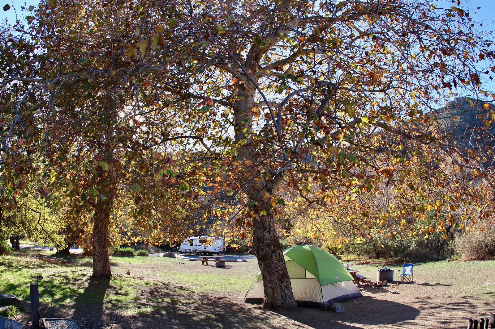
What you’ll see: a shaded sycamore-lined canyon leading toward the coast
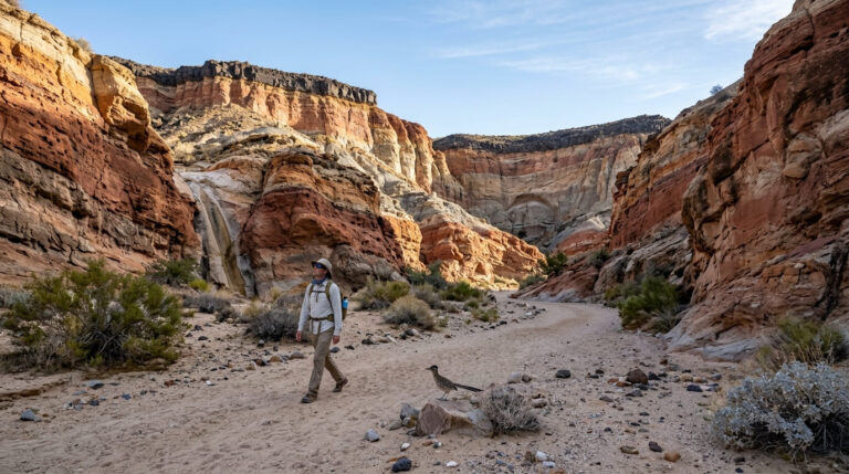
This out-and-back runs about 6 miles with a gentle 500 feet of elevation gain, following a canyon corridor lined with mature sycamores. It provides genuine shade and a notably gentler grade than the exposed bluff-top trails elsewhere in this guide, with plumbed restrooms and drinking-water spigots at several points along the main fire road.
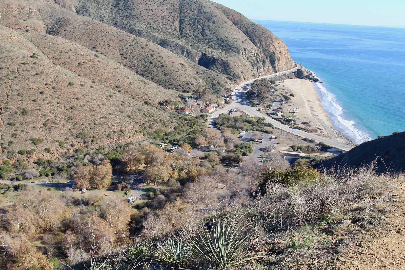
Best time to hike Sycamore Canyon: a comfortable summer alternative to the exposed coastal bluffs
Consistent canyon shade makes this notably more comfortable in summer heat than the fully exposed Ray Miller Trail at the same park, making it a genuine go-to swap on a hot day.
Anacapa Island Trail (Channel Islands National Park)
Trailhead access and parking (boat access only from Ventura Harbor)
This is the only trail in this guide that cannot be reached by car at all. a concessioner ferry (Island Packers) from Ventura Harbor makes the roughly one-hour crossing, with round-trip tickets typically running $70-80 per adult (confirm current pricing directly).
Landing itself involves a tide-dependent ladder climb and roughly 157 stairs up from the dock, which is genuinely part of the adventure and not guaranteed if sea conditions are rough.
What you’ll see: sea arches, nesting seabirds, and the country’s largest brown pelican rookery
only East Anacapa is open to day hikers year-round: West Anacapa is closed to protect its pelican colony, and Middle Anacapa is also restricted. The public East Anacapa Island Trail is a roughly 2-to-2.4-mile loop passing the Fog Signal Building, Cathedral Cove, Inspiration Point, and Pinniped Point, plus the iconic 40-foot Arch Rock.
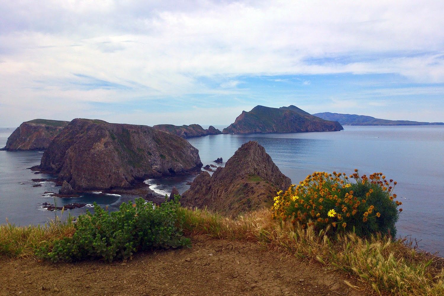
West Anacapa’s cliffs hold the largest breeding colony of California brown pelicans in the entire country, while Anacapa’s islets collectively host the largest western gull breeding colony in the world, which is visible even from the East Anacapa trail during nesting season.
Best time to hike Anacapa Island: spring for nesting season and calmer boat crossings
Spring pairs peak seabird nesting activity (April through roughly July) with generally calmer channel crossing conditions, though ferry service can still be canceled on short notice if seas turn rough, so build flexibility into any trip planned around this island.
Santa Clara River Estuary Trail (McGrath State Beach)
Trailhead access and parking at McGrath State Beach
Note that McGrath State Beach is currently closed due to long-term flooding and wetland restoration, limiting vehicle access. When open, a state beach day-use fee applies at this trailhead, where the Santa Clara River meets the Pacific, a genuinely different wetland-and-beach habitat than the bluff and canyon trails covered earlier in this guide.
What you’ll see: a rare coastal wetland and river mouth estuary
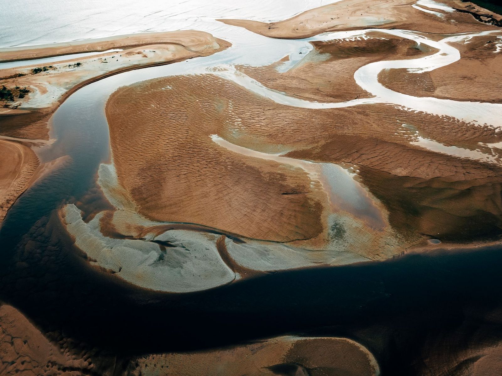
The 160-acre Santa Clara River Estuary Natural Preserve protects one of the last significant undeveloped river-mouth estuaries left on the Southern California coast, with a short interpretive nature trail starting near the park entrance. This preserve is a genuine haven for shorebirds and waterfowl in a region where most river mouths have long since been developed.
Best time to hike Santa Clara River Estuary: fall and winter for migratory bird viewing
Fall and winter bring the strongest migratory bird activity to the estuary’s mudflats and marsh, a wildlife-focused timing draw distinct from every other trail in this guide.
Emma Wood State Beach Trail
Trailhead access and parking at Emma Wood State Beach, Ventura
A free trailhead at the mouth of the Ventura River connects directly to the city’s paved coastal bike path network, making it the most urban-convenient, no-drive-required trail in this entire guide if you’re already staying in Ventura. Leashed dogs are welcome in the day-use area and campground, but are prohibited on the beach.
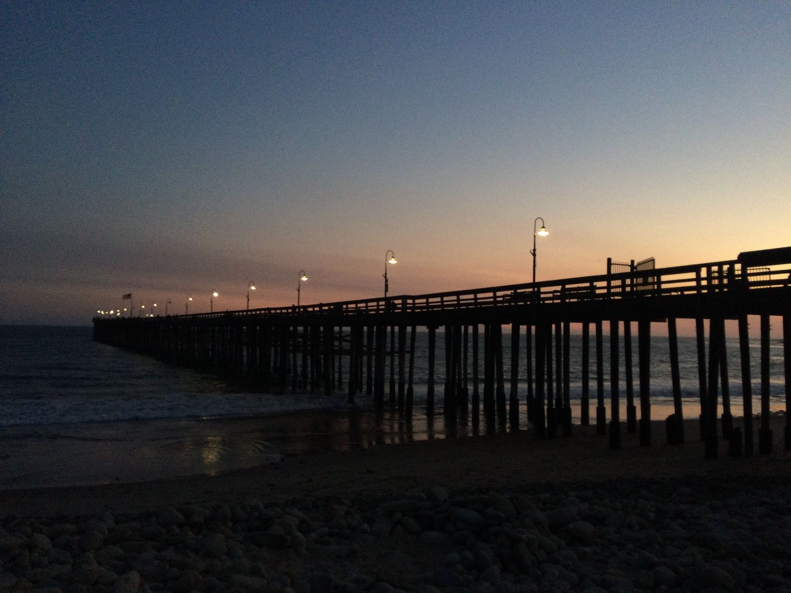
What you’ll see: a flat beachfront path connecting to downtown Ventura
The Ocean’s Edge and River’s Edge trails combine into an easy roughly 1.5-mile loop taking in the beach, the Ventura River, and its estuary. The trail is flat, straightforward, and directly walkable from San Buenaventura State Beach and downtown Ventura itself.
Best time to hike Emma Wood State Beach: any season (a reliable, easy coastal walk)
This trail’s flat, paved-adjacent, low-effort profile makes it comfortable and accessible virtually year-round, rain or shine, with no real seasonal considerations to plan around.
Frequently asked questions about coastal hiking trails in Ventura County
Are hiking trails open in Ventura?
Yes, all five trails in this guide are generally open year-round, though Point Mugu State Park has had periodic temporary closures (including brief weather-related campground closures), and West and Middle Anacapa Island are closed to protect nesting seabirds. Check current conditions before a trip.
How do you get to Anacapa Island?
By concessioner ferry only, run by Island Packers from Ventura Harbor. There is no way to drive or walk there, and private boat landing is restricted to permitted park use.
Is there a fee at Point Mugu State Park?
Yes, a day-use fee (around $12) applies at both the Ray Miller and Sycamore Canyon trailheads, covering the same broader state park.
Are hiking trails closed in Ventura County?
Most are open, but McGrath State Beach is currently closed due to flooding and restoration. Some Point Mugu State Park trails still show effects of the 2018 Woolsey Fire in their infrastructure, and Anacapa Island’s West and Middle islets are seasonally and permanently restricted for wildlife protection, so check current alerts for any specific trail before you go.
Which Ventura County coastal trail is easiest for beginners?
Emma Wood State Beach, without much competition, is flat, free, and directly connected to downtown Ventura with no drive required.
Can you see pelicans at Anacapa Island?
Yes, West Anacapa’s cliffs hold the largest breeding colony of California brown pelicans in the country, and pelicans are commonly visible from the East Anacapa trail as well, especially during spring nesting season.