The 5 Best Hiking Trails in the Klamath Mountains, From a White Marble Peak to One of the Most Botanically Diverse Forests on Earth
The Klamath Mountains are a distinct range from the volcanic Cascades that produce Mount Shasta, older, more geologically complex, and home to some of the most remote wilderness left in California. Here’s the short version: Sky High Lakes is the trail that best captures this range’s marble-and-alpine-lake character, Duck Lakes is worth it specifically for a globally significant patch of conifer diversity, and Preston Peak is the full-day commitment to save for when you’re ready for off-trail scrambling. Exploring these premier Klamath Mountain Hiking Trails offers a deep dive into an untamed, ancient wilderness far away from standard tourist tracks.
Disclosure: Please note that some of the links below are affiliate links and at no additional cost to you, I may earn a commission. Know that I only recommend hiking gear I personally stand behind; when you use my affiliate links, it helps me run this blog and keep all of this content free of charge for readers (like you).
Five trails anchor this guide, spanning the Marble Mountain, Russian, and Siskiyou Wildernesses, three of the least-visited, most remote protected areas in the state. Unlike many major California wilderness areas, none of these three destinations require a wilderness permit for day hikes or overnight backpacking.
Key takeaways
- The signature marble-and-lakes hike: Sky High Lakes Trail, a cluster of alpine lakes beneath the glowing white rim of Marble Mountain.
- A global botanical rarity: Duck Lakes Trail, one of the most conifer-diverse forests in North America, with 17 species growing within a single square mile nearby.
- Most photogenic summit: Kings Castle Trail, a dramatic white marble peak with sweeping Klamath Mountains views.
- The full-day commitment: Preston Peak Trail, the highest point in the Siskiyou Wilderness, reached via off-trail scrambling.
- Smallest and quietest: Sanger Lake Trail, a rarely visited alpine lake closing out this guide’s most remote wilderness coverage.
- None of these trails require a wilderness permit, just a free California Campfire Permit if you’re using a stove or fire. If you specifically want Mount Shasta itself rather than this older, geologically distinct range, my Mount Shasta trails guide covers that separately.
Sky High Lakes Trail (Marble Mountain Wilderness)
Trailhead access and parking at Lovers Camp, Marble Mountain Wilderness
A Forest Service trailhead at Lovers Camp, no wilderness permit required, just a free California Campfire Permit if you plan to use a stove or fire, available at any Forest Service or CAL FIRE office.
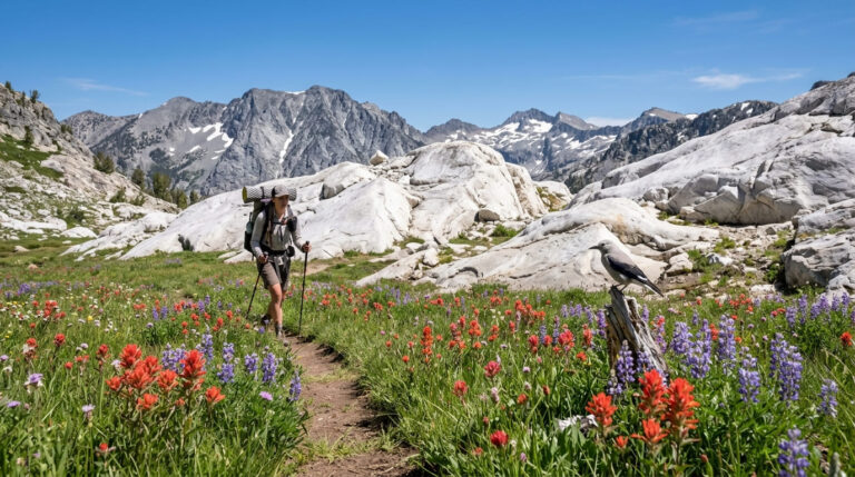
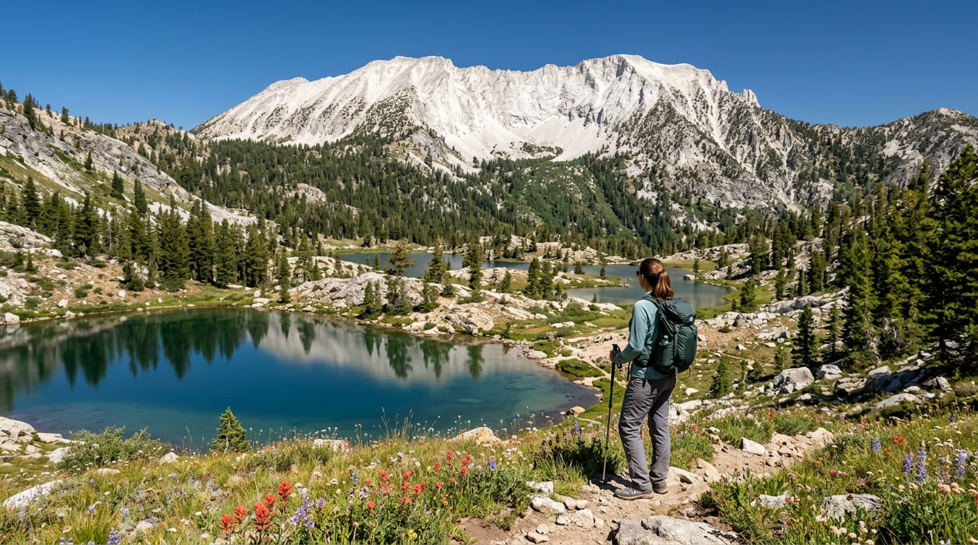
What you’ll see: a cluster of alpine lakes beneath Marble Mountain
Documented round trips here vary meaningfully by route: about 11.4 miles to the Sky High Lakes basin alone, extending to a fuller 14.6-to-15-mile loop that adds the Marble Mountain Rim side trip and additional lakes like Frying Pan and Shadow, gaining 2,200 to over 3,000 ft depending on which you choose.
The wilderness holds more than 500 plant species, and Marble Mountain itself, a limestone summit that appears to glow white against the surrounding forest, gives the range its name.
Best time to hike Sky High Lakes: summer through early fall, once snow clears
This remote, high-elevation trail typically opens by early-to-mid summer and stays reliable into fall, check current snow conditions before an early-season trip.
Duck Lakes Trail (Russian Wilderness)
Trailhead access and parking at the Duck Lake Trailhead, Russian Wilderness
A Forest Service trailhead into the smaller, considerably less-visited Russian Wilderness, again, no wilderness permit required, only the same free campfire permit.
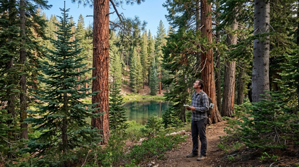
What you’ll see: one of the most botanically diverse conifer forests in North America
Botanists studying the drainages below nearby Russian Peak (8,199 ft, the wilderness’s high point) documented 17 conifer species within a single square mile, including the first known California stands of subalpine fir, a global rarity in conifer diversity packed into just 12,700 acres of wilderness.
Best time to hike Duck Lakes: summer for the most stable trail access
Like most of this remote range, summer offers the most dependable trail conditions, with access considerably less reliable earlier in the season.
Kings Castle Trail (Marble Mountain Wilderness)
Trailhead access and parking at the Marble Mountain
Wilderness trailhead Located in the Marble Mountain Wilderness, this trail climbs toward a dramatic white marble summit rather than a lake basin.
What you’ll see: a dramatic marble summit with views across the Klamath Mountains
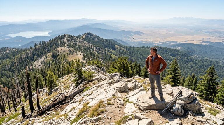
A jagged, castle-like marble formation rewards the climb with sweeping views across the surrounding Klamath Mountains, among the most photogenic peaks in this remote wilderness system, worth the name.
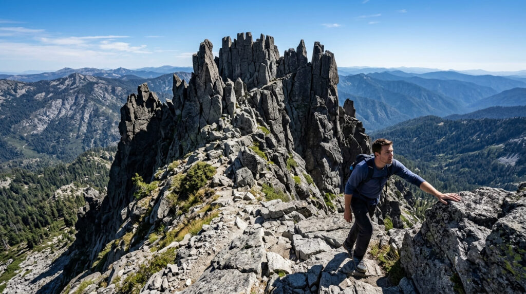
Best time to hike Kings Castle: summer and early fall for stable footing
Exposed marble terrain is most safely navigated when dry, summer and early fall are the clear windows here.
Preston Peak Trail (Siskiyou Wilderness)
Trailhead access and parking near the Del Norte County border, Siskiyou Wilderness
A remote Forest Service trailhead in the wilderness’s westernmost reaches, typically approached via Raspberry Lake, no wilderness permit required, same campfire permit rule applies.
What you’ll see: the highest peak in the Siskiyou Wilderness
At 7,313 ft, Preston Peak rises more than 500 ft above any other peak in this wilderness, and on exceptionally clear days the summit reveals both the Pacific Ocean to the west and Mount Shasta to the east, a span of more than 150 miles. The final approach from Raspberry Lake is off-trail, Class 2–3 scrambling, not maintained trail.
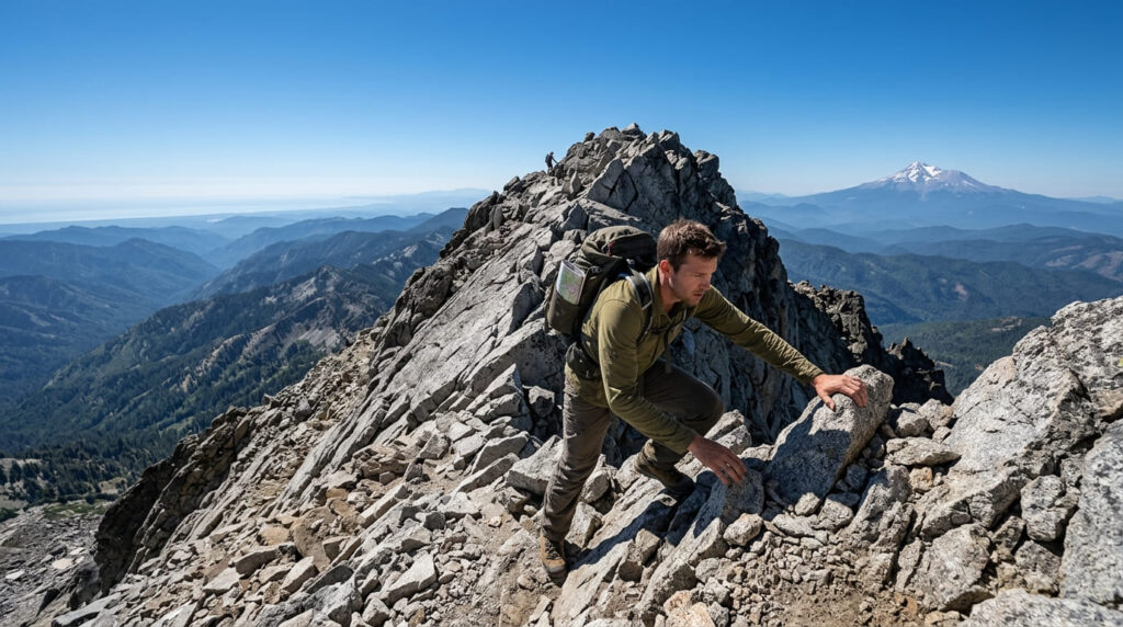
Best time to hike Preston Peak: a full-day summer commitment
Given the real distance (commonly 17-plus miles round trip once you account for the off-trail summit approach) and scrambling involved, this is a full-day undertaking best attempted in stable summer conditions by hikers comfortable with route-finding.
Sanger Lake Trail (Siskiyou Wilderness)
Trailhead access and parking near the Siskiyou Wilderness boundary
A shorter, more accessible trailhead into the same general Siskiyou Wilderness as Preston Peak, reached via unpaved forest roads that can include a seasonal gate closed early in the season.
What you’ll see: a small, rarely visited alpine lake
This small lake closes out the guide’s coverage of the Klamath Mountains’ most remote terrain, quiet even by this range’s already-low-traffic standards.
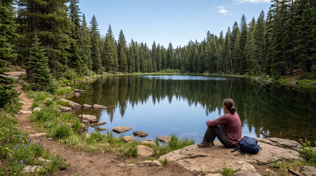
Best time to hike Sanger Lake: summer, once the access road clears of snow
The unpaved approach road is the real seasonal gatekeeper here, check current road status before making the drive, since snow and seasonal gates can affect access well into early summer some years.
The trail I’d actually start with
If you’ve only got one trip into this range, make it Sky High Lakes; it’s the trail that best captures the marble-and-alpine-lake character that gives this entire range its reputation. If you prefer towering granite spires and a dramatic roadside stop over deep backcountry wilderness, you can instead visit Castle Crags State Park just down the I-5 corridor.
Duck Lakes is worth it specifically for the conifer diversity, and Kings Castle rewards anyone who wants a dramatic summit without Preston Peak’s full commitment. Save Preston Peak for a day you’re ready for off-trail scrambling, and treat Sanger Lake as the quiet, easy add-on once you’re already in the area.
For the geographically distinct alpine lakes of the Trinity Divide and Cascade-adjacent terrain, my alpine lake trails guide covers that separate side of Siskiyou County next, and my Siskiyou County hiking guide rounds out everything else the county offers.
Frequently asked questions
Do you need a permit to hike in the Marble Mountain Wilderness?
No wilderness permit is required, only a free California Campfire Permit if you plan to use a stove or campfire, available at any Forest Service or CAL FIRE office.
Is Marble Mountain made of actual marble?
Essentially, yes, its summit is limestone that has undergone enough metamorphism to give it a marble-like, glowing white appearance, which is exactly where the mountain and wilderness get their name.
Is Russian Wilderness botanically diverse?
Yes, remarkably so, researchers documented 17 conifer species within a single square mile near Russian Peak, a level of diversity considered globally significant for a temperate conifer forest.
Is Preston Peak the highest point in the Siskiyou Wilderness?
Yes, at 7,313 ft, it rises more than 500 ft above every other peak in the wilderness, making it a clearly dominant summit rather than a close contest.
Is Sanger Lake crowded?
No, it’s one of the quietest, least-visited destinations in this entire guide, in a wilderness system that’s already among California’s least-traveled.
Which Klamath Mountains trail is best for beginners?
None of these five are true beginner trails, this guide covers remote wilderness terrain throughout. Sky High Lakes’ shorter route options are the most approachable of the five, but all still require real backcountry fitness and preparation.