The 5 Best Waterfall Hiking Trails in Tulare County, From a 1,200-Foot Glacial Cascade to a Foothill Hidden Gem
This is a dedicated waterfall-specific companion to my Sequoia National Park Giant Forest guide, a deliberately different focus spanning the park’s high country down through its warmer foothill zone. Here’s the short version: Tokopah Falls is the tallest and most visually dramatic waterfall in the entire park, Marble Falls is the reliable lower-elevation option once snow closes the high country, and Paradise Creek Falls is worth visiting for the quiet foothill canyon around it more than the modest falls themselves. Exploring these premier Waterfall Hiking Trails in Tulare County is the best way to see how the Sierra Nevada’s snowmelt transforms the rugged landscape.
Disclosure: Please note that some of the links below are affiliate links and at no additional cost to you, I may earn a commission. Know that I only recommend hiking gear I personally stand behind; when you use my affiliate links, it helps me run this blog and keep all of this content free of charge for readers (like you).
Five waterfalls anchor this guide, spanning a huge elevation range, from Tokopah’s glacial high-country canyon down to foothill creeks near the park’s main entrance.
Key takeaways
- The tallest and most popular: Tokopah Falls, a 1,200-ft multi-tiered cascade through a dramatic glacial canyon, the park’s signature waterfall hike.
- The reliable winter alternative: Marble Falls, a lower-elevation foothill waterfall that stays accessible when snow closes the high country.
- A real waterfall, a corrected location: Ladybug Trail to Cedar Creek, in the South Fork Kaweah corridor near Ash Mountain, not Mineral King as sometimes described.
- Inside the park, despite the name confusion: Panther Creek Falls, a real Sequoia National Park cascade, distinct from better-known Panther Creek Falls in Georgia and Washington.
- The quiet, modest foothill gem: Paradise Creek Falls, a short cascade at the end of a peaceful, shaded canyon walk.
- All five require only the standard park entrance fee, no separate permits for any of these as day hikes.
Tokopah Falls Trail
Trailhead access and parking at Lodgepole Campground (park entrance fee)
The standard Sequoia and Kings Canyon entrance fee applies. The trailhead sits within the large Lodgepole day-use lot, among the biggest parking areas anywhere in the park, so finding a spot is rarely an issue even in peak season.
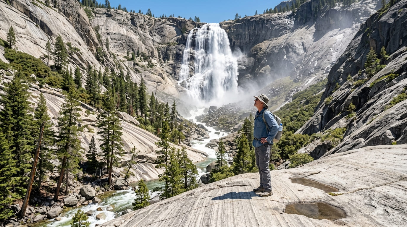
What you’ll see: a 1,200-foot cascade through a glacial canyon
A mostly flat trail (roughly 3.4 to 4.2 miles round trip, gaining 560 to 630 ft depending on the source) follows the Marble Fork of the Kaweah River through mixed woodland to the base of Tokopah Falls, a 1,200-ft series of cascades down a glacial headwall, officially the tallest waterfall in Sequoia National Park. No dogs or bikes are permitted.
Best time to hike Tokopah Falls: early summer for peak snowmelt flow
Flow peaks dramatically during late spring and early summer snowmelt, then tapers to a comparative trickle by late summer, timing changes how impressive this waterfall looks.
Marble Falls Trail
Trailhead access and parking near Potwisha Campground
A lower-elevation trailhead near Potwisha Campground, in the park’s warmer foothill zone rather than the high country covered by Tokopah Falls.
What you’ll see: a foothill waterfall along the Marble Fork Kaweah River
An 8-mile round trip leads along the Marble Fork of the Kaweah River to the thunderous Marble Falls, a different, lower-elevation chaparral landscape than the high-country trails elsewhere in this guide, with exposed, sun-drenched terrain for much of the way.
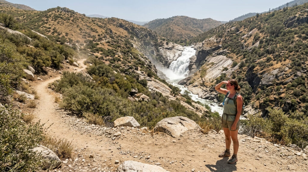
Best time to hike Marble Falls: winter and spring, a lower-elevation option when snow closes higher trails
This trail’s low elevation keeps it accessible during winter and spring months when snow closes Tokopah Falls and other high-country trails, a useful off-season option.
Ladybug Trail to Cedar Creek
Trailhead access and parking at South Fork Campground, near Ash Mountain
Reached via South Fork Drive near the Ash Mountain entrance, not Mineral King Road, despite some descriptions conflating the two. The access road is rough in spots, so a higher-clearance vehicle helps.
What you’ll see: a forested trail along the South Fork Kaweah River to Cedar Creek
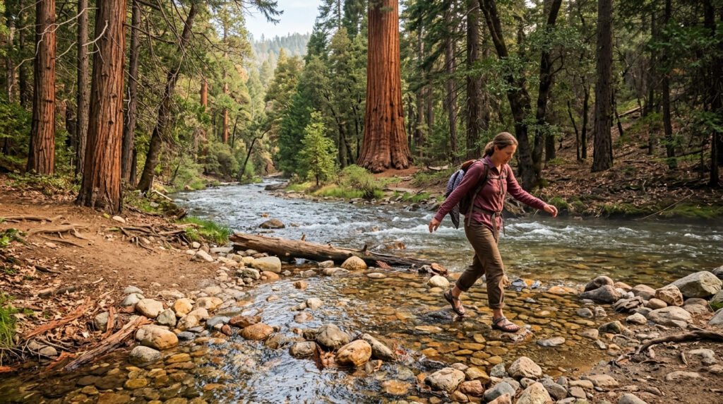
A roughly 6.4-mile round trip (gaining about 1,610 ft) follows the South Fork of the Kaweah River through forest and creek crossings to Cedar Creek and Ladybug Camp, one of the lowest-elevation sequoia groves anywhere in the park sits near the trail’s end. Day hikers don’t need a wilderness permit; only overnight backpackers continuing to Whiskeylog Camp require one.
Best time to hike Ladybug Trail: summer, though the rough access road matters more than season
Unlike Mineral King’s own seasonal, snow-closed road, this trail’s real access constraint is the rough South Fork Drive itself, passable most of the year, but worth a high-clearance vehicle regardless of season.
Panther Creek Falls Trail
Trailhead access and parking in the Sequoia National Park foothills
Reached via the Middle Fork Trail, generally accessed from the same general Buckeye Flat/Ash Mountain foothill corridor as Paradise Creek Falls, just heading a different direction. The standard park entrance fee applies.
What you’ll see: a foothill-zone cascade below the Giant Forest
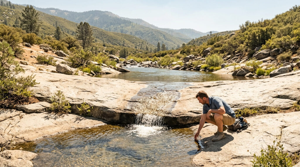
A roughly 6-mile round trip (about 750 ft of elevation change) leads through open, sun-exposed chaparral country to a small but cascade where Panther Creek meets the Middle Fork Kaweah River, real Sequoia National Park geography, despite sharing its name with better-known waterfalls in Georgia and Washington State.
Best time to hike Panther Creek Falls: winter and spring for peak flow
Like most of this guide’s foothill entries, rain and snowmelt drive this creek’s flow, cooler, wetter months also make the fully exposed trail considerably more comfortable to hike.
Paradise Creek Falls Trail
Trailhead access and parking near Ash Mountain, Sequoia National Park entrance
Reached via Buckeye Flat Campground, a short distance past the Ash Mountain entrance station, the most drive-up-convenient waterfall trailhead in this guide, though not literally at the entrance gate itself.
What you’ll see: a modest waterfall at the end of a peaceful foothill canyon
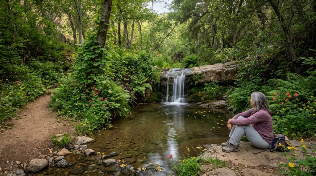
A gentle, mostly well-maintained trail (about 2.9 miles one-way, roughly 5.8 miles round trip) follows Paradise Creek through lush riparian vegetation and seasonal wildflowers to a modest 10-ft waterfall, the payoff here is really the quiet canyon itself, and the surprising degree of solitude given how close it sits to a hub of foothill activity.
Best time to hike Paradise Creek Falls: spring for the strongest flow
Spring brings both the best water flow and the peak wildflower display along this trail, summer heat in the foothills can turn this same walk uncomfortable.
The trail I’d actually start with
If you’ve only got one waterfall stop, make it Tokopah Falls, nothing else in this guide matches its scale or drama, and the trail itself is easy enough for nearly anyone.
Marble Falls is the smart backup once snow closes the high country, and Panther Creek and Paradise Creek both reward a quiet foothill morning more than a rushed visit. Treat Ladybug Trail as its own separate outing, not a Mineral King add-on, that’s simply not where it is.
For the Giant Forest sequoia groves rather than waterfalls, my Sequoia National Park trails guide covers that side of the park, and my Tulare County hiking guide rounds out everything else the county offers.
Frequently asked questions
Is Tokopah Falls the tallest waterfall in Sequoia National Park?
Yes, at 1,200 ft, it’s officially the tallest waterfall anywhere in the park, and one of its most popular single hikes.
Is Marble Falls a good winter hike?
Yes, its lower elevation keeps it accessible when snow closes Tokopah Falls and other high-country trails, making it a useful off-season option.
Is Mineral King Road open year-round?
No, it’s a seasonal road, typically closed by snow in winter. Worth noting, though: the Ladybug Trail covered in this guide isn’t actually reached via Mineral King Road at all, despite sometimes being described that way.
Is Panther Creek Falls easy to reach?
Moderately, the roughly 6-mile round trip trail is exposed and can run hot in summer, but it requires no special permit or technical skill for a day hike.
Is Paradise Creek Falls near the park entrance?
Yes, relatively, it’s reached via Buckeye Flat Campground, a short distance past the Ash Mountain entrance station, making it one of the more convenient waterfall hikes in this guide.
Which Tulare County waterfall is best for a quick stop?
Paradise Creek Falls, for its short, gentle approach and proximity to the park’s main entrance, though Tokopah Falls remains the better choice if you want the single most impressive payoff for a modest time investment.