The 5 Best Hiking Trails in Big Bear Lake, San Bernardino County
This is a different kind of mountain town than anything in my Los Angeles County series. Big Bear Lake sits at nearly 7,000 feet, which means real snow season, thinner air on the climbs, and a completely different trail culture built around a resort-town crowd instead of a big-city one. Exploring Hiking Trails in Big Bear offers a true alpine escape, and for the county overview, San Bernardino County’s full trail hub ties this guide together with the other four in this batch.
Disclosure: Please note that some of the links below are affiliate links and at no additional cost to you, I may earn a commission. Know that I only recommend hiking gear I personally stand behind; when you use my affiliate links, it helps me run this blog and keep all of this content free of charge for readers (like you).
One quick regional note: this stretch of the San Bernardino Mountains has had two real fires in recent years, the 2024 Line Fire and a smaller 2025 Gold Fire near Hanna Flat. Neither is currently affecting the five trails below, but you’ll see both names come up if you research this area further, so it’s worth knowing the context.
Key takeaways
- The short, steep classic: Castle Rock Trail, barely a mile and a half round trip, but genuinely steep, with a brand-new parking lot that fixed its biggest long-standing complaint.
- The easy, educational one: Woodland Trail at the Big Bear Discovery Center, flat, self-guided, and open nearly year-round.
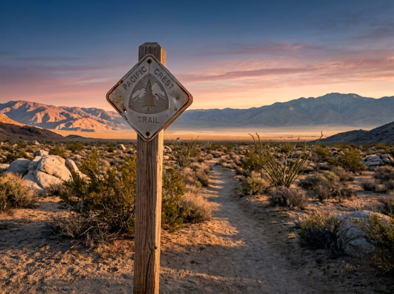
- The PCT connection: Cougar Crest Trail to Bertha Peak, the only trail on this list that touches the actual Pacific Crest Trail.
- The quieter lake view: Pineknot Trail to Grand View Point, comparable effort to Cougar Crest, on the lake’s less-crowded south shore.
- The single-destination oddity: Champion Lodgepole Pine Trail, a short walk to the largest known lodgepole pine on Earth.
- This is a genuinely higher-elevation batch than LA County. Even the easy trails here sit above 6,800 feet, which matters for anyone visiting straight from sea level.
Quick-glance comparison
| Trail | Distance (RT) | Elevation gain | Adventure Pass |
|---|---|---|---|
| Castle Rock Trail | 1.2–1.4 mi | ~500 ft | Not required at the new lot |
| Woodland Trail | 1.5 mi | Under 100 ft | No |
| Cougar Crest to Bertha Peak | 6–7.3 mi | ~1,300–1,500 ft | Yes |
| Pineknot Trail to Grand View Point | 6–7.4 mi | ~1,200 ft | Yes |
| Champion Lodgepole Pine Trail | ~1 mi | Under 150 ft | No |
Castle Rock Trail: short, steep, and finally easy to park for
This is the trail every Big Bear visitor asks about first, and for years the honest answer included a warning about parking. That’s changed.
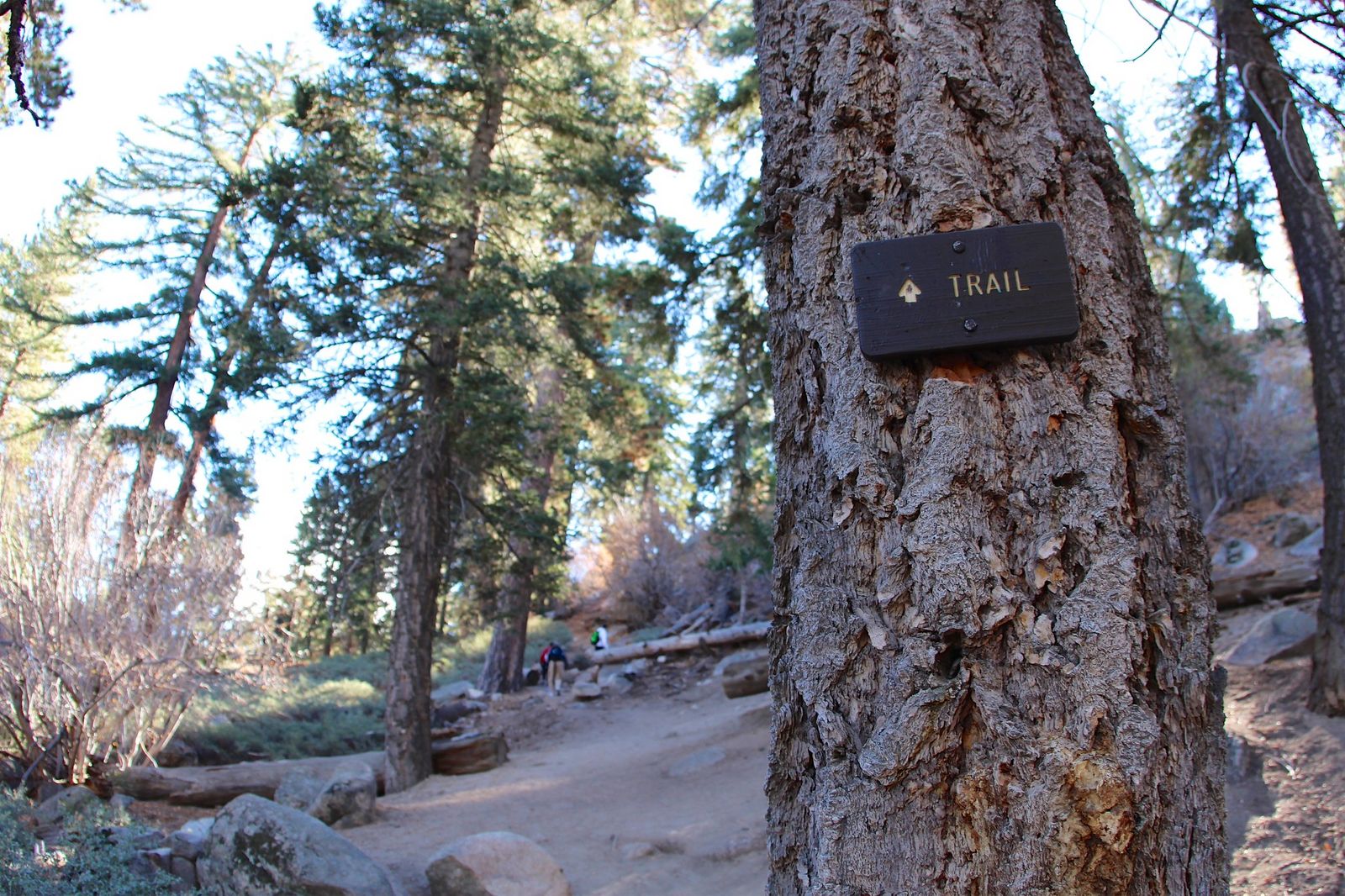
Trailhead access: a real parking lot now, not just a highway pullout
As of July 2025, the city opened a dedicated lot with a restroom and bike rack at the intersection of Big Bear Boulevard and Talbot Drive, a genuine upgrade from the handful of roadside spots along Highway 18 that used to define this trailhead. No Adventure Pass is required here.
Difficulty, distance, and elevation gain to Castle Rock
It’s a short 1.2–1.4 miles round trip, but don’t let the distance fool you, you’ll gain roughly 500 feet in the first half-mile alone, on a rocky, occasionally scrambly path.
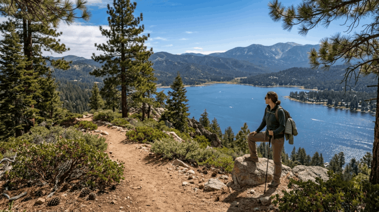
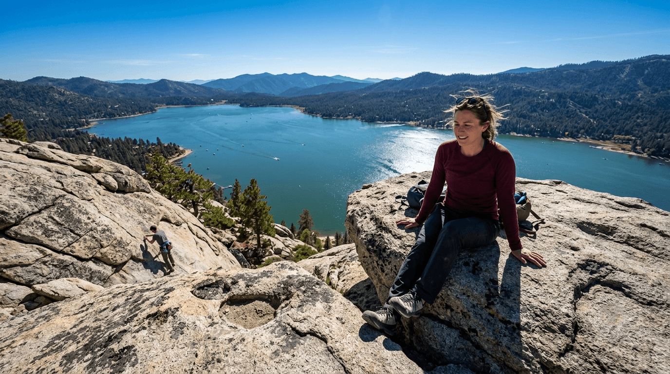
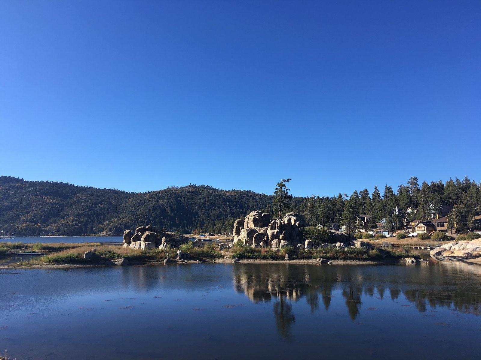
What you’ll see: a granite outcrop with a straight-down view of the lake
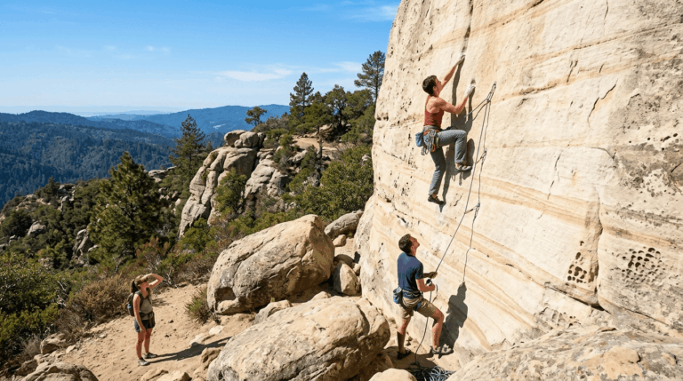
The namesake rock formation delivers one of the most direct lake overlooks of any trail in this guide, and you’ll likely spot rock climbers working the outcrop’s faces along the way. Keep an eye out for bobcats and rattlesnakes, both regularly reported along this corridor.
Best time to hike Castle Rock: weekday mornings
This trail is popular well out of proportion to its length, so early weekday visits are your best shot at a quiet climb.
Woodland Trail: the easiest, most educational hike on this list
If you want a genuine walk in the woods without any real climbing, this is it, and it starts at the most amenity-rich trailhead in the whole guide.
Trailhead access: free parking at the Big Bear Discovery Center
The Discovery Center is a staffed USFS visitor center with restrooms, exhibits, and ranger information, plus a dedicated free lot, the only trailhead in this guide with that level of amenities.
Difficulty, distance, and elevation gain on the interpretive loop
It’s about 1.5 miles with under 100 feet of gain, genuinely the easiest trail in this entire guide.
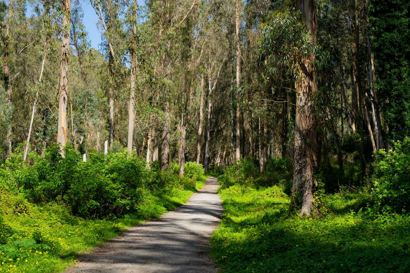
What you’ll see: a self-guided forest ecology loop
Numbered interpretive stops walk you through Jeffrey pine forest ecology and North Shore wetland habitat, making this the one trail here built around learning rather than views or summits.
Best time to hike the Woodland Trail: a reliable year-round option
Gentle grade and forest shade keep this comfortable most of the year, though winter snow can still close sections, worth a look at my guide to winter hiking in California if you’re visiting Big Bear outside the summer season, since snow genuinely changes what’s accessible up here in a way it rarely does back in LA County.
Cougar Crest Trail to Bertha Peak: the only PCT connection on this list
This is the trail I’d send someone who wants to say they’ve stepped on the Pacific Crest Trail without committing to a multi-day trip.
Trailhead access: a dedicated Highway 38 lot, Adventure Pass required
The Cougar Crest trailhead has its own marked lot off Highway 38, display a National Forest Adventure Pass here, since this is genuine San Bernardino National Forest land.
Difficulty, distance, and elevation gain to Bertha Peak’s summit
This runs longer than a lot of trip planners assume: expect 6–7.3 miles round trip with 1,300–1,500 feet of gain to reach Bertha Peak itself, not the roughly 5 miles sometimes quoted for the shorter Cougar Crest-only turnaround.
What you’ll see: panoramic lake views and an actual PCT junction
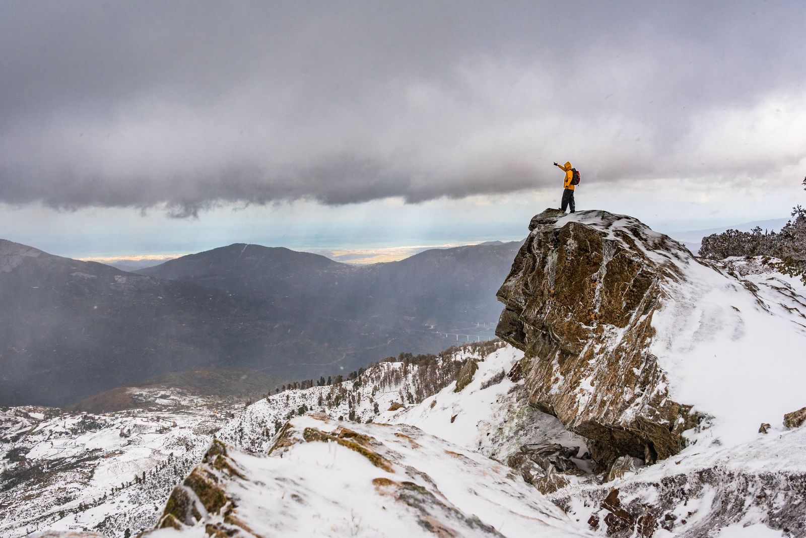
Cougar Crest Trail tops out at a junction with the Pacific Crest Trail itself, hikers can continue on the PCT from here, though mountain bikers are prohibited beyond this point. Push on to Bertha Peak and you’re rewarded with sweeping views across Big Bear Valley toward the high desert beyond.
Best time to hike Cougar Crest: cool mornings, expect weekend crowds
This is one of the more popular trails in the guide, and it’s fully exposed to sun for much of the climb, so an early start helps on both fronts.
Pineknot Trail to Grand View Point: the quieter south-shore alternative
If Castle Rock and Cougar Crest feel too crowded, this is the trail that delivers a comparable payoff without the north-shore traffic.
Trailhead access: Aspen Glen Picnic Area, the most walkable-from-town option
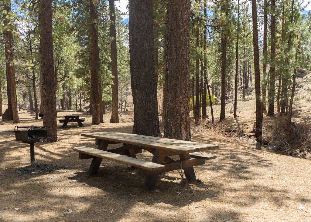
Parking at Aspen Glen Picnic Area is limited and ticketed aggressively when full, plan to arrive early or park along the street with an Adventure Pass displayed, since this trailhead sits inside National Forest land despite being steps from Big Bear Lake Village.
Difficulty, distance, and elevation gain to Grand View Point
It’s 6–7.4 miles round trip with about 1,200 feet of gain, comparable effort to Cougar Crest, on a steady, well-graded series of switchbacks rather than a single steep push.
What you’ll see: a quieter lake overlook, and on clear days, Catalina Island
Grand View Point sits at 7,784 feet and looks out over Big Bear Lake, the San Bernardino high peaks, and San Gorgonio Mountain, on the clearest days, hikers report spotting Catalina Island in the distance, well over 100 miles away.
Best time to hike Pineknot: fall for color along the lower sections
The lower, forested stretches of this trail pick up genuine fall color, a timing rationale distinct from the pure crowd-avoidance logic that drives Castle Rock and Cougar Crest.
Champion Lodgepole Pine Trail: a short walk to the largest tree of its kind on Earth
This is the trail I’d call the most unusual entry in this entire San Bernardino County batch, not a summit, not a lake view, just one specific, record-holding tree.
Trailhead access: a remote pullout near Fawnskin, high-clearance recommended
Reaching this trailhead means driving several miles of dirt Forest Service road (2N10 to 2N11), a high-clearance vehicle is recommended, and the road is typically impassable after snow or heavy rain.
Difficulty, distance, and elevation gain to the Champion tree
It’s about 1 mile round trip with under 150 feet of gain, corrected down from a longer estimate, since every official source, including the U.S. Forest Service’s own trail page, describes this as roughly a mile.
What you’ll see: the world’s largest known lodgepole pine
Discovered in 1963, this double-topped tree stands over 110 feet tall, more than 400 years old, with a trunk circumference of 22 feet, genuinely unlike anything else in this guide or anywhere else in this site’s California coverage so far. One flag worth knowing: the Forest Service’s own trail page currently displays an old closure notice tied to the 2024 Line Fire, last updated July 2025.
Every more recent visitor account I could find describes a normal, open trail, so I believe this is simply a stale page rather than an active closure, but it’s worth a quick call to the Big Bear Discovery Center if you want total certainty before making the drive.
Best time to hike the Champion Lodgepole Pine Trail: late spring through fall
The access road is snow-affected well into spring most years, so this is very much a warm-season trail despite the short distance.
Which of these five to hike first
If you’ve only got one morning in Big Bear, Castle Rock delivers the fastest payoff, especially now that parking isn’t the ordeal it used to be. If you want the bragging rights of touching the Pacific Crest Trail, Cougar Crest to Bertha Peak is unmatched on this list. And if you’re traveling with people who don’t want to climb anything at all, the Woodland Trail and the Champion Lodgepole Pine Trail both deliver a genuine payoff for very little effort.
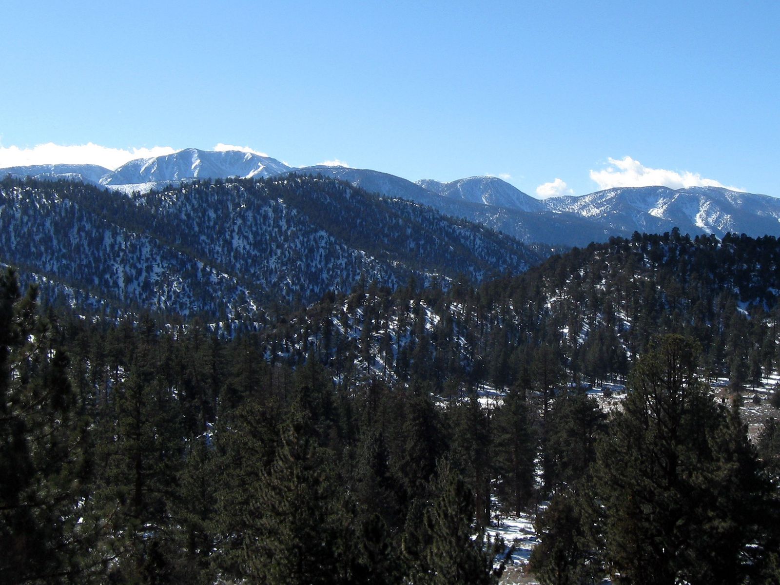
If Big Bear’s summer crowds aren’t for you, my Lake Arrowhead guide trades the resort bustle for Deep Creek Hot Springs and a quieter pace down the ridge. For real elevation and a true summit push, my San Bernardino Mountains guide covers San Gorgonio Mountain itself, Southern California’s highest peak. And if you want to leave the pines behind entirely, both my desert trails and Mojave National Preserve guide cover the rest of this county’s range, from Route 66 icons to sand dunes.
Frequently asked questions
Are Big Bear hiking trails open?
Yes, the vast majority of Big Bear’s trail network is open year-round, though snow can close or complicate higher-elevation trails and forest roads in winter. Always check current conditions at the Big Bear Discovery Center or fs.usda.gov/sbnf before a winter visit.
Is Castle Rock Trail hard?
It’s short but genuinely steep, about 500 feet of gain packed into roughly the first half-mile of a 1.2–1.4-mile round trip. Most moderately fit hikers manage it fine, but it’s not the casual stroll its short length might suggest.
Do you need a permit to hike in Big Bear?
It depends on the trailhead. Trails on National Forest land, Cougar Crest, Pineknot, and the road to Champion Lodgepole Pine, require a National Forest Adventure Pass displayed in your vehicle. Castle Rock’s new lot and the Woodland Trail at the Discovery Center don’t require one.
Is Big Bear Lake hiking good in winter?
Some trails, yes, the Woodland Trail and lower sections of several others stay accessible with proper winter gear. Higher routes like Cougar Crest to Bertha Peak and the dirt road to Champion Lodgepole Pine are frequently snow-covered or impassable from late fall through spring.
Which Big Bear trail has the best lake views?
Castle Rock offers the most direct, elevated overlook of the lake for the least effort. Grand View Point and Bertha Peak both offer broader panoramic views that take in more of the surrounding mountains, at the cost of a considerably longer hike.
Are dogs allowed on Big Bear hiking trails?
Yes, on most trails in this guide, generally required to be leashed. Castle Rock, Cougar Crest, Pineknot, and Champion Lodgepole Pine all allow leashed dogs.