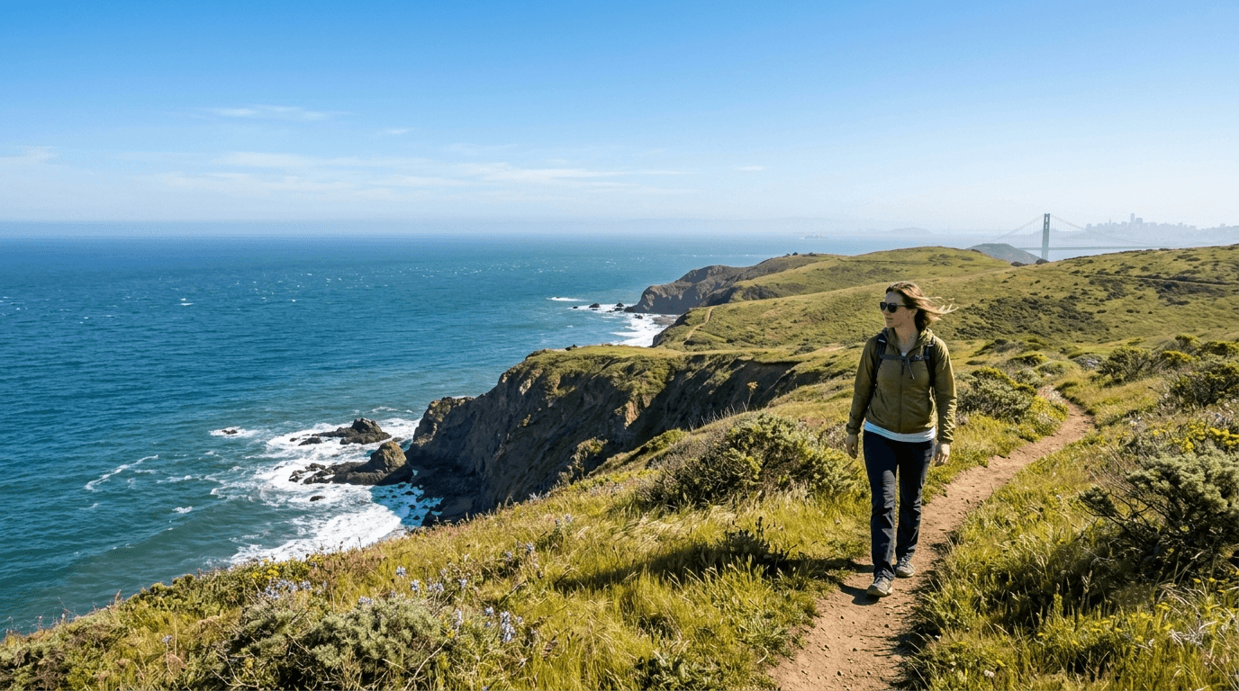
Hiking Trails in Marin County, California
Marin County packs more world-class hiking per square mile than anywhere else in California; the Marin Headlands, Muir Woods, Mount Tamalpais, and Point Reyes National Seashore all sit within about 30 miles of each other, connected by Golden Gate National Recreation Area and Marin County Open Space District land in between.
Disclosure: Please note that some of the links below are affiliate links and at no additional cost to you, I may earn a commission. Know that I only recommend hiking gear I personally stand behind; when you use my affiliate links, it helps me run this blog and keep all of this content free of charge for readers (like you).
I’ve spent four-plus years cataloging trails across this state, and Marin is the one county I’d point to if someone asked where to get the widest range of California hiking terrain in the shortest amount of driving: coastal bluffs, redwood groves, a genuine mountain summit, and a national seashore, all reachable without a single overnight stop. This guide covers the best Hiking Trails in Marin County in each core area, plus a real update on something that’s changed at Point Reyes since most guides to this county were last written.
Key takeaways:
- Marin County concentrates five major hiking areas, the Headlands, Muir Woods, Mount Tamalpais, Point Reyes, and MCOSD open space, within roughly 30 miles of each other.
- Muir Woods requires a parking or shuttle reservation year-round, booked through GoMuirWoods.com (not Recreation.gov), plus a separate $15 entrance fee.
- The historic fence confining Tomales Point’s tule elk herd has been under active removal since late 2024/2025, a major, recent change to how that hike works.
- Point Reyes covers 71,000 acres with about 145 miles of trails, and most day hikes there require no permit at all.
- Fog is Marin’s defining summer variable; fall and spring generally offer the clearest, most reliable hiking weather.
Related:
- Point Reyes Hiking & Alamere Falls Guide
- 5 Best Hiking Trails in the Marin Headlands
- 5 Best Hiking Trails in Muir Woods and Point Reyes, Marin County
- 5 Best Hiking Trails Along the Marin Coastline
- 5 Best Hiking Trails on Mount Tamalpais, Marin County
- 5 Best Family-Friendly Hiking Trails in Marin County
Why Marin County is California’s best county for day hiking
Marin stacks five genuinely major hiking destinations, Golden Gate National Recreation Area’s Marin Headlands, Muir Woods National Monument, Mount Tamalpais State Park, Point Reyes National Seashore, and Marin County Open Space District’s inland preserves, into a footprint small enough to visit two or three in a single weekend.
Marin County’s five core hiking areas
The Marin Headlands (GGNRA) delivers coastal bluffs and Golden Gate views minutes from San Francisco. Muir Woods protects old-growth coast redwoods in a compact, heavily visited monument. Mount Tamalpais offers roughly 60 miles of trails in the state park alone, with connections stretching into MCOSD and Muir Woods land.
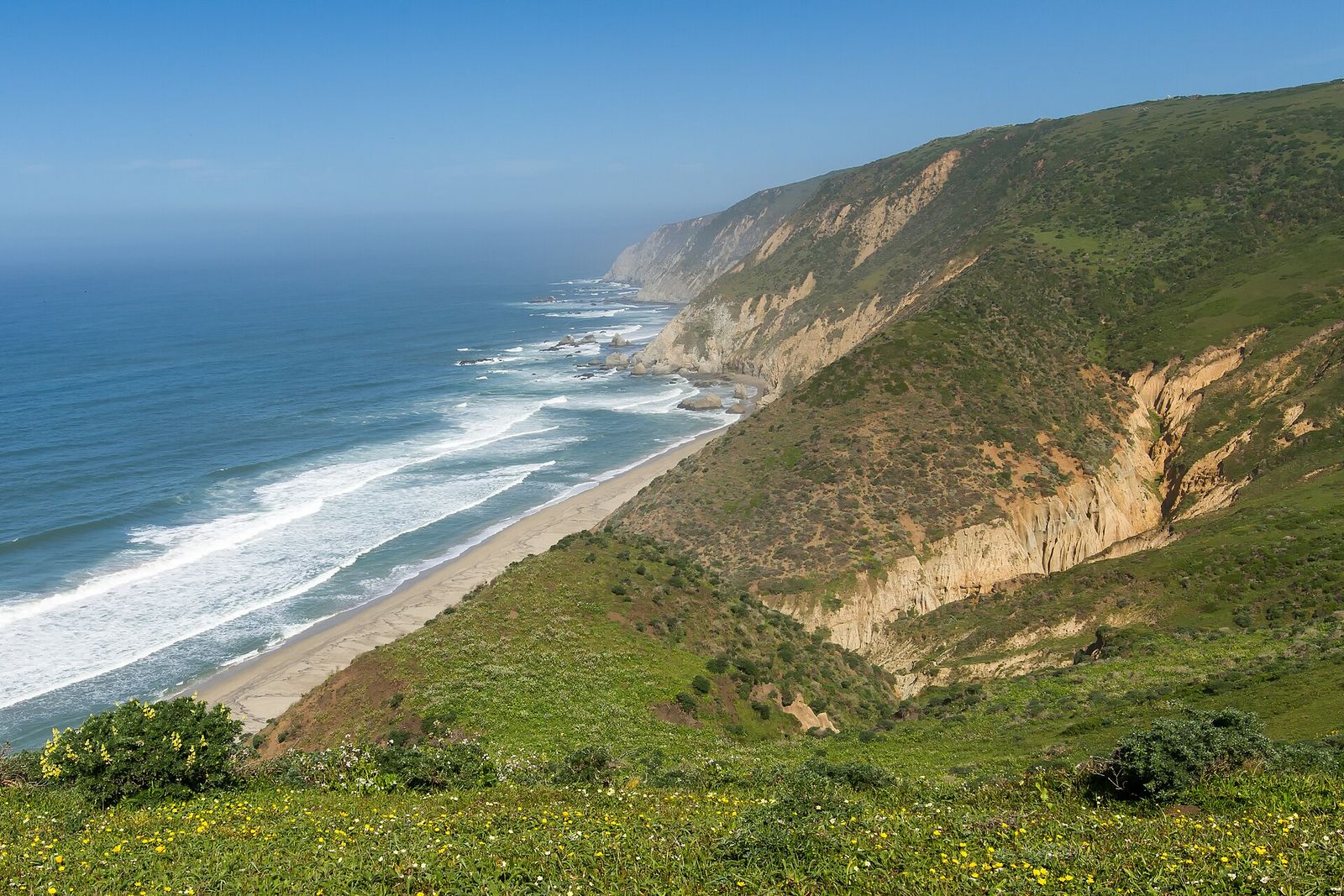
Point Reyes National Seashore covers 71,000 acres of coastal wilderness, tule elk range, and dramatic bluffs. And MCOSD’s inland ridge preserves round out the county with quieter, less-touristed hiking closer to Marin’s residential towns. That same ridgeline character continues north into the hiking trails in Sonoma, Marin’s only neighboring county and a natural extension for anyone basing a trip out of the North Bay.
Best hiking trails in the Marin Headlands
The Marin Headlands sit just across the Golden Gate Bridge from San Francisco, delivering coastal bluff hiking, a historic military battery, and genuine wildlife viewing without leaving GGNRA land.
Tennessee Valley Trail: the Marin Headlands’ most popular beginner hike
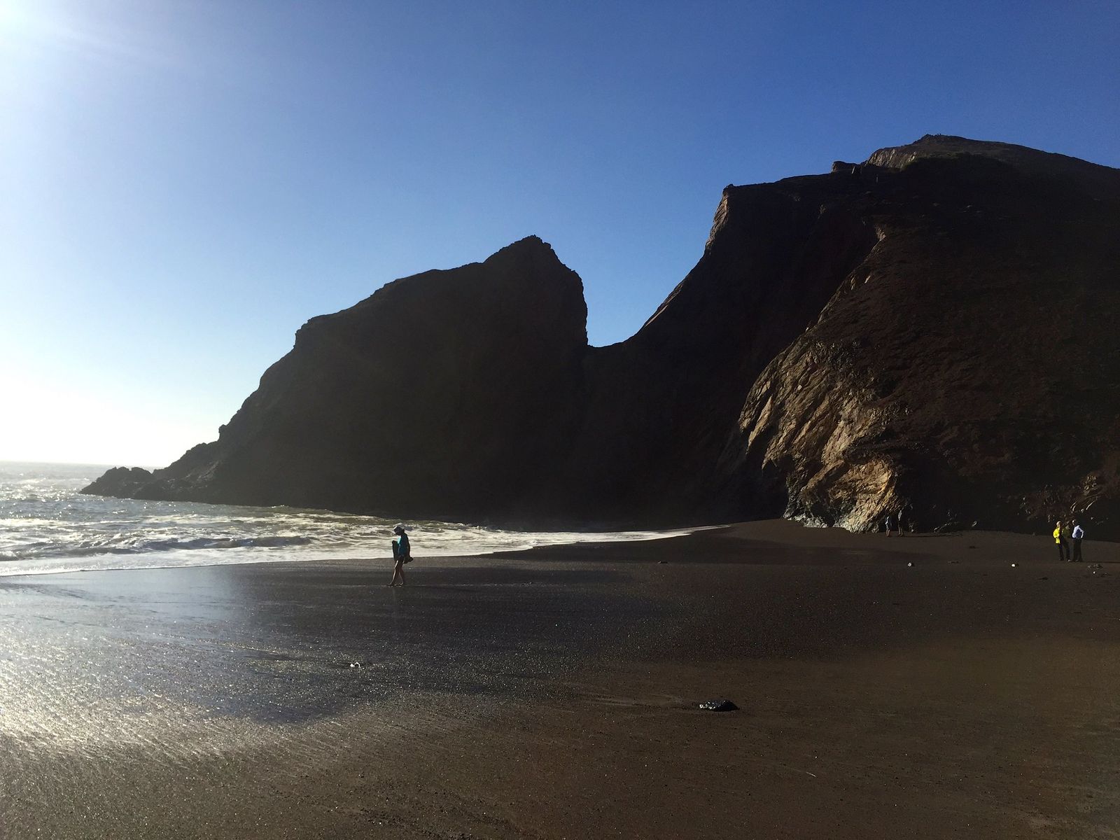
At 3.4 miles round-trip, this flat trail runs from the parking area through open valley to Tennessee Cove, a dramatic pocket beach hemmed in by cliffs. Parking is free, no reservation is required, and it’s open year-round; coyotes and birds of prey are common sightings for hikers who stay reasonably quiet, and the flat, wide trail makes it a genuinely good option for strollers or anyone easing back into hiking after time off.
Hawk Hill and Coastal Trail: the Marin Headlands’ best vista hike
A short walk from parking leads to Hawk Hill (Battery 129), delivering panoramic views of the Golden Gate Bridge and San Francisco skyline with essentially no elevation effort, one of the best return-on-investment viewpoints in the entire Bay Area.
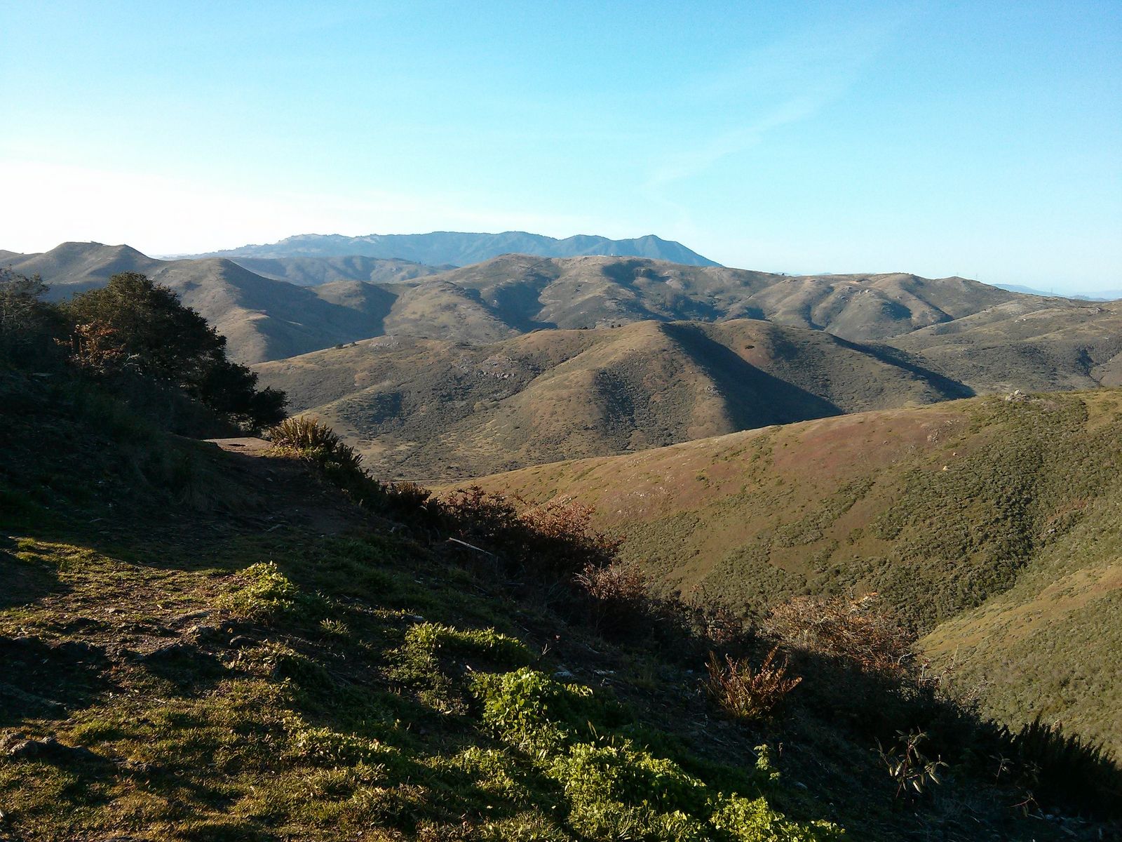
October is peak hawk migration season here, when raptor counts can run into the thousands on a good day, making this one of the best accessible raptor-watching spots on the entire West Coast; volunteer hawk counters are often stationed at the summit during peak season and happy to point out what’s passing overhead.
No trail permit is required, though the summit access road is typically open on weekends, so plan a weekday visit around the gate schedule if you’re driving up rather than walking.
Best hiking trails in Muir Woods National Monument, Marin County
Muir Woods protects 558 acres of old-growth coast redwoods across about 6 miles of trails, small in acreage compared to Marin’s other destinations, but genuinely one of the most visited redwood groves in California, which is exactly why its reservation system exists.
Muir Woods Main Trail and Bohemian Grove Loop: the essential Muir Woods hike
This roughly 2.1-mile route combines the flat, partly paved Main Trail with the Bohemian Grove loop, passing Cathedral Grove (home to the park’s tallest trees) and some of the oldest individual trees in the monument. It’s accessible enough for most visitors regardless of fitness level, with benches along the way, and it’s genuinely best hiked on a weekday morning; weekend crowds here are real, and the redwood canopy means cell service is unreliable throughout, so download your reservation confirmation before you arrive.
Ocean View Trail at Muir Woods: escape the crowds for ridge views
Climbing about 1,800 ft from the main trailhead over roughly 6 miles round-trip, the Ocean View Trail trades the valley floor’s crowds for genuine solitude and ridge-top views toward the Pacific and Stinson Beach. It connects to the Dipsea Trail, the route of the oldest continuously run trail race in America, for hikers wanting to extend further, and it’s a completely different experience from the flat, crowded main loop below, with a real workout to earn the view.
Best hiking trails on Mount Tamalpais, Marin County
Mount Tamalpais State Park alone holds about 60 miles of trails around its 2,571 ft summit, with connections stretching into MCOSD land, Muir Woods, and GGNRA territory, genuinely one of the largest connected trail networks in the Bay Area, and one where you could hike for a full week without repeating a route.
Matt Davis Trail to Steep Ravine: Mount Tam’s best redwood + ocean view loop
Running about 7.5 miles one-way from Stinson Beach to the Mountain Home Inn, this route delivers a dramatic transition from open coastal scrub into a genuine redwood ravine, with real waterfalls in winter after rain, one of the more varied single hikes in the entire Bay Area for how much terrain type it packs into one route.
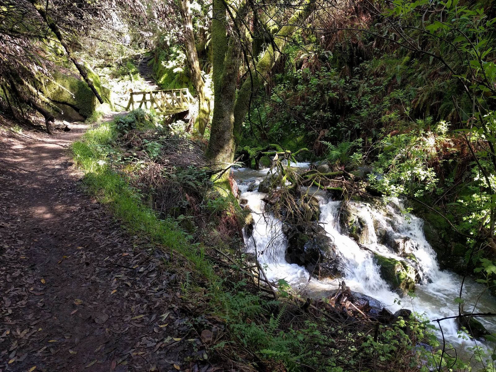
It requires either a car shuttle or a hiking partner to spot vehicles at both ends, since it’s a point-to-point route rather than a loop, worth planning ahead of time rather than discovering at the trailhead that you’re now 7.5 miles from your car.
The East Peak summit itself is a separate, much shorter option: just 0.4 miles from the closest parking, for anyone who wants Tam’s high point without a long approach, making it possible to bag the summit and still have energy left for a longer trail elsewhere on the mountain the same day.
Best hiking trails at Point Reyes National Seashore, Marin County
Point Reyes National Seashore covers 71,000 acres and about 145 miles of trails, the largest single hiking destination in Marin County by a wide margin, and one of the few national seashore units on the entire West Coast.
Tomales Point Trail: Point Reyes’ best tule elk and ocean vista hike
This 9.4-mile round-trip trail from the Pierce Point Ranch trailhead runs along coastal bluffs with the Pacific visible on three sides, genuinely dramatic terrain, and historically the most reliable place in California to see tule elk up close.
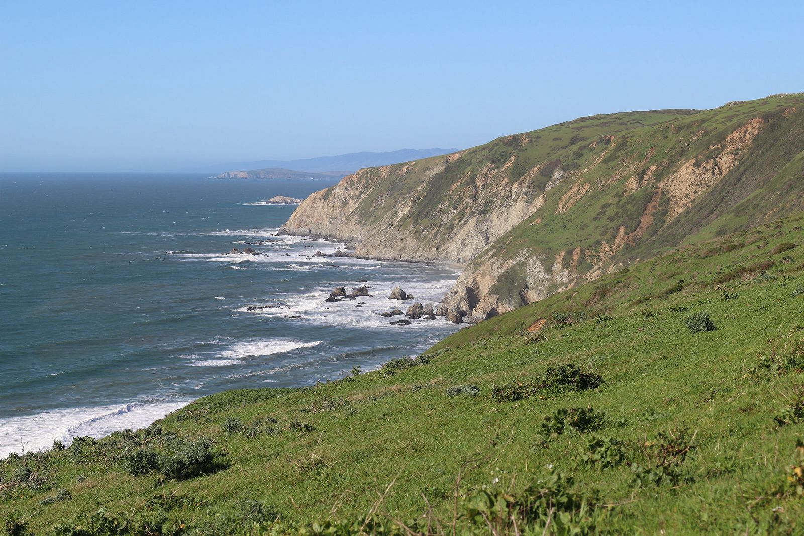
That said, a real change is underway here: the 8-ft, 2-mile fence that confined this herd to a 2,900-acre reserve for 46 years has been under active removal since late 2024 and 2025, following years of documented drought die-offs behind it and a broader 2025 settlement that’s also reducing ranching operations across the park.
Elk are no longer guaranteed to stay within the historic fenced viewing area the way older guides describe; you’re still likely to see them, given it’s their established range, just don’t assume the same contained, up-close encounter that was true when the fence stood. No permit is needed for the day hike, and there’s no water source on the trail, so carry more than you think you’ll need.
Bear Valley Trail to Arch Rock: Point Reyes’ most popular day hike
At 8.2 miles round-trip, this trail runs almost entirely flat from the historic Bear Valley Visitor Center through a transition from forest to coastal scrub, ending at a dramatic sea arch and beach overlook.
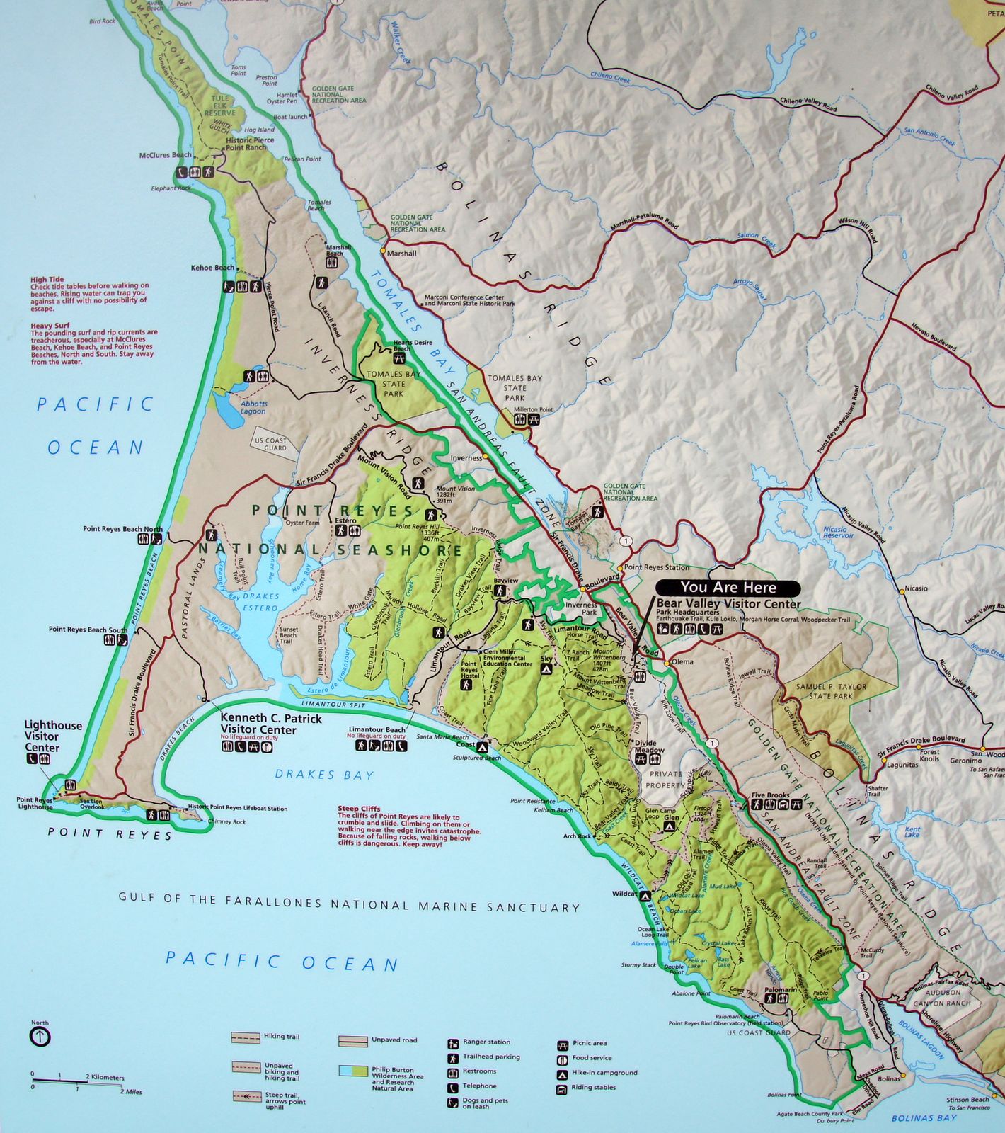
It’s the most heavily used trail in the park for good reason: genuine variety in terrain over a manageable distance, and it doubles as one of the better wildlife-viewing corridors in the seashore, with deer and a wide range of birds commonly spotted along the way. The gentle grade makes it a realistic option for hikers who want real mileage without real elevation gain, which is a rarer combination in Marin than it sounds.
Marin County hiking permits and access guide

| Location | Fee | Reservation needed? |
|---|---|---|
| Muir Woods | $15/person entrance + ~$9.50 parking (or $3.50 shuttle) | Yes, year-round, via GoMuirWoods.com |
| Marin Headlands (GGNRA) | Free | No |
| Mount Tamalpais State Park | ~$8 parking | No |
| Point Reyes National Seashore | Free (day hikes) | No, overnight coast camps require a permit |
| MCOSD preserves | Free | No |
Muir Woods is genuinely the outlier here; it’s the only Marin destination in this guide requiring an advance reservation for regular visitors, and it’s easy to assume the same rule applies elsewhere in the county when it doesn’t. Everywhere else on this list, showing up and paying a parking fee (or nothing at all) is enough, which makes Marin overall a much lower-friction county to hike in than its reputation for reservations might suggest; that reputation really comes from Muir Woods alone.
If you’re building broader hiking skills, our beginner’s guide to hiking trails covers basics that apply anywhere in Marin, and our Leave No Trace guide is worth reviewing given how much of this county’s hiking sits inside protected reserves and monuments.
Frequently asked questions: hiking trails in Marin County
What are the best hiking trails in Point Reyes?
The Tomales Point Trail (tule elk and coastal bluffs) and Bear Valley Trail to Arch Rock (the park’s most popular day hike) are the two strongest starting points, covering very different terrain within the same seashore.
What is the best hiking trail in Muir Woods?
The Muir Woods Main Trail combined with the Bohemian Grove Loop is the essential hike, flat, accessible, and passing Cathedral Grove, the park’s tallest trees, while the Ocean View Trail is the better pick if you want to escape the valley floor’s crowds.
Do I need a reservation to visit Muir Woods?
Yes, reservations for parking or shuttle access are required year-round and must be booked through GoMuirWoods.com, separate from the park’s $15 per-person entrance fee; walking or biking in doesn’t require one.
What are the best hiking trails in the Marin Headlands?
Tennessee Valley Trail for an easy beach hike and Hawk Hill for panoramic Golden Gate views with almost no effort are the two most commonly recommended starting points.
How do I get to Point Reyes National Seashore for hiking?
Point Reyes sits about an hour to 90 minutes north of San Francisco via Highway 1 or Sir Francis Drake Boulevard; the Bear Valley Visitor Center near Olema is the most common starting point for first-time visitors.
What is the best season for hiking in Marin County?
Fall and spring generally offer the clearest weather, Marin’s coastal areas see heavy fog through much of summer, which can limit views at exactly the time of year visitors most expect good weather.