The California Trail Hazard Calendar: What Changes Every Season and Why It Matters
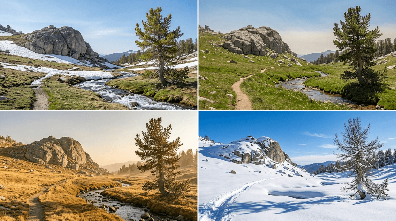
There’s no off-season for California trail hazards, there’s just a different hazard depending on which month you’re asking about. Spring means snowmelt and river crossings in the Sierra. Summer means heat and wildfire smoke. Fall brings Santa Ana winds and the first high-elevation snow. Winter brings ice, avalanche terrain, and daylight that runs out faster than you’d plan for. I’ve researched trail conditions across every California region for years, and the biggest mistake I see is hikers treating “safe season” as a single answer instead of a month-by-month, region-by-region question.
Disclosure: Please note that some of the links below are affiliate links and at no additional cost to you, I may earn a commission. Know that I only recommend hiking gear I personally stand behind; when you use my affiliate links, it helps me run this blog and keep all of this content free of charge for readers (like you).
Key Takeaways
- There’s no single “safest” season in California, it depends entirely on region: spring is riskiest in the Sierra, summer in the desert, fall in Southern California’s wind corridors.
- Spring snowmelt (May–June) makes Sierra river crossings more dangerous than any other single hazard on this list.
- Summer heat and wildfire smoke can both shut down a trip on the same day, check AQI alongside temperature, not instead of it.
- Santa Ana wind season (September–November) stacks fire risk on top of wind risk in Southern California’s foothills and deserts.
- Winter isn’t hiking’s off-season here, it’s avalanche and ice season in the Sierra high country.
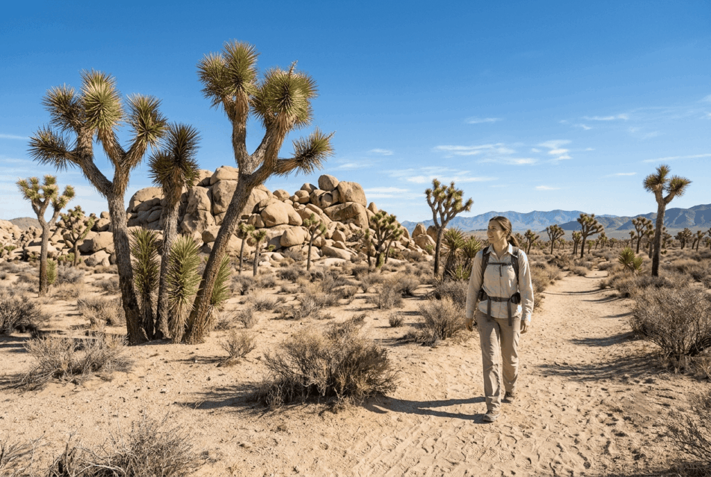
- Desert trails flip the calendar entirely: winter is often the best time to hike Death Valley or Joshua Tree, not the worst.
Why California’s Seasons Create Unique Trail Hazards Year-Round
California doesn’t get an off-season, and that surprises people who assume “mild climate” means “always safe.” What actually happens is that the hazard rotates by region and month instead of disappearing. A trail that’s dangerously hot in July can be dangerously icy in January, and a Sierra pass that’s a straightforward summer walk can be an avalanche slope by December.
My rule: never ask “is California safe to hike right now” as a single question. Ask it region by region, coast, desert, Sierra, because the honest answer is different for each one, every month of the year.
How California’s Regional Diversity Means Different Seasonal Hazards Everywhere
Coastal trails carry fog and wind risk essentially year-round, with only the intensity shifting by season. Desert trails flip the usual logic, heat is the enemy from roughly May through September, and cooler months are actually the safer, more popular hiking window. The Sierra Nevada runs on its own extreme calendar: heavy snow from roughly May through July, followed by daily afternoon thunderstorms all summer, then an abrupt shift to ice and avalanche terrain by late fall.
Fire season adds a fourth layer on top of all three regions every fall, and increasingly bleeds into summer as well. Plan around your specific region’s calendar, not a generic statewide one.
Spring Hazards: Snowmelt, River Crossings, and Mudslides
Spring looks like the safest season on paper, mild temperatures, green hillsides, wildflowers, and that’s exactly what makes it deceptive in the Sierra Nevada specifically. Underneath the pleasant surface conditions, spring runoff turns quiet creek crossings into genuinely dangerous water hazards, and lingering snow can bury the trail itself.
Why Spring Is the Most Dangerous Season for Sierra Nevada Hiking
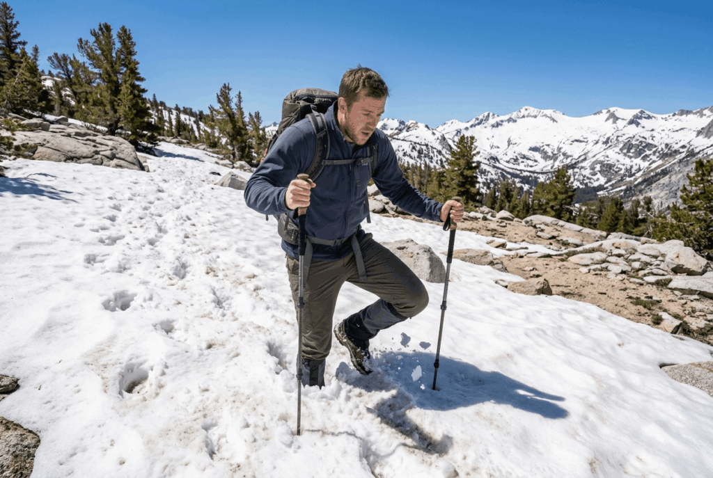
Peak snowmelt typically runs from May through June, and it’s the single most dangerous window for Sierra river crossings all year, water that looks manageable in the morning can rise substantially by afternoon as the day’s heat accelerates melt upstream. Trails at higher elevation are often still snow-covered well into June, which obscures the actual path and creates postholing risk, where a hiker’s leg punches through a weak snow layer up to the knee or hip.
My rule for early-season Sierra trips: cross water in the morning when flows are lowest, and treat any snow-covered trail section as a route-finding problem, not a marked path.
Post-Wildfire Mudslide Risk in California: What Spring Hikers Must Know
Wildfire leaves behind hydrophobic soil, burned ground that repels water instead of absorbing it, and when an atmospheric river storm hits a recent burn scar, that combination produces debris flows fast enough to catch hikers off guard. This isn’t a rare edge case in California; burn-scar debris flow zones show up after nearly every significant fire season, sometimes for two or three years afterward.
Check the managing agency’s closure map before any spring hike near a recent burn area, since these zones get mapped and restricted specifically because of this risk.
Summer Hazards: Extreme Heat, Afternoon Thunderstorms, and Wildfire Smoke
Summer is when California’s two best-known hazards, heat and fire, overlap most directly, and it’s worth treating them as two separate checks rather than one. A trail can be a safe temperature and still be unsafe to breathe on a heavy smoke day.
How to Hike Safely During California’s Summer Heat and Fire Season
Desert and inland valley trails regularly exceed 100°F (38°C) by early afternoon in summer, which is exactly why an early start, before 7 a.m., matters more here than almost any other single decision. Pair that with a same-day check of CAL FIRE’s incident map, since new fires and closures can appear with almost no warning during peak season.
Wildfire Smoke and Air Quality Hazards for California Trail Hikers
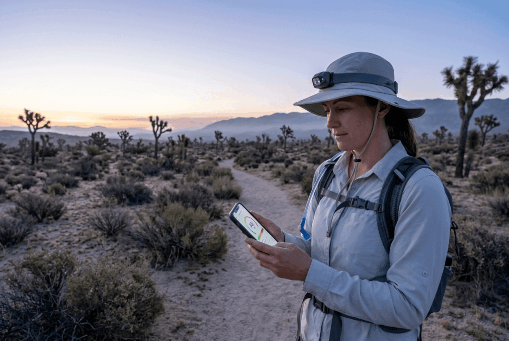
Check AirNow.gov’s AQI for your specific trail’s county before you go, not just the general regional forecast, since smoke plumes can vary sharply within a short distance. I treat anything above 150 AQI as a turnaround signal, and I’d bring an N95 mask as backup on any smoke-prone trail in August or September specifically.
Kids, older hikers, and anyone with asthma or a heart condition should use a stricter cutoff, even moderate AQI readings can trigger symptoms in those groups faster than a healthy adult would notice them.
Fall Hazards: Santa Ana Winds, Early Snow, and Trail Closures
Fall is the season where Southern California and the Sierra Nevada diverge hardest: one region is dealing with dangerous wind and fire risk, while the other is watching for the season’s first real snow.
Santa Ana Wind Season and Fall Trail Hazards in Southern California
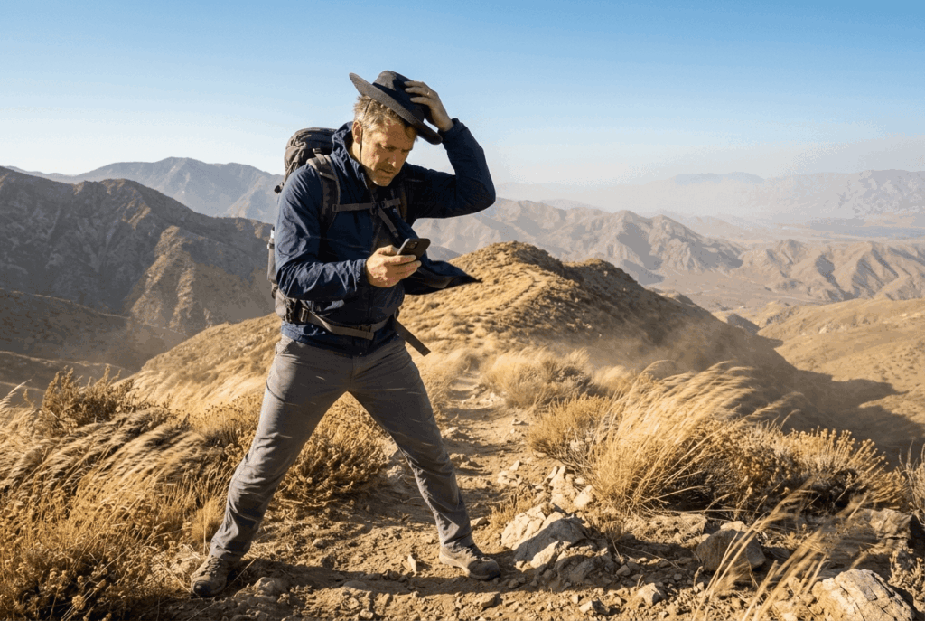
Santa Ana winds typically run from September through November, and they combine dry, gusty conditions with a sharp spike in wildfire danger across Southern California’s foothill and desert trails. I treat any Red Flag Warning as a hard stop for exposed trails in this window, since agencies frequently close specific routes during active wind events regardless of what a general forecast says.
When Does Snow Start Closing High-Elevation California Trails in Fall?
High Sierra passes can see their first meaningful snow as early as October, though the exact timing varies year to year with the broader weather pattern. Wilderness permit seasons typically wind down around the same window, and I treat any trail above roughly 9,000 ft (2,743 m) as fair game for an early closure once October arrives.
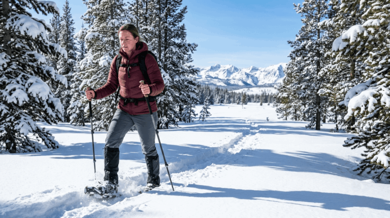
Winter Hazards: Ice, Snowpack, Avalanche, and Limited Daylight
Winter isn’t California hiking’s off-season, and if you are looking for thoughtful holiday gift ideas for trekkers, it brings a completely different set of hazards and seasonal gear needs.
Avalanche Risk on California’s Winter Backcountry Trails
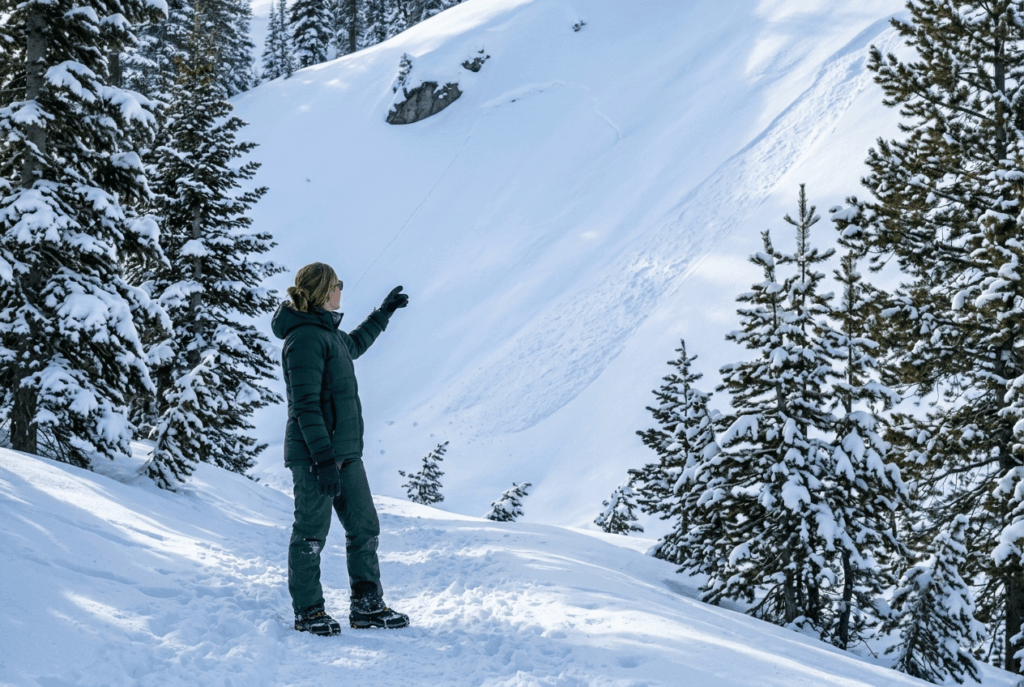
Sierra backcountry terrain carries real avalanche risk, and the Sierra Avalanche Center and Eastern Sierra Avalanche Center both publish daily winter forecasts worth checking before any high-elevation trip. Learn to recognize basic avalanche terrain, slope angles over 30 degrees, recent wind-loading, visible crown fractures from prior slides, even if you’re staying on a maintained trail rather than going into true backcountry.
Ice and Snowpack Hazards on Year-Round California Trail Crossings
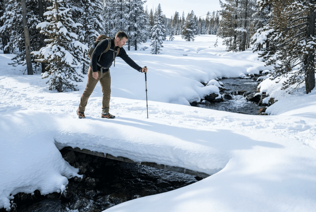
Microspikes are worth carrying on any Sierra or high-elevation trail from roughly November through April, since packed snow turns to ice on shaded, north-facing sections even when the rest of the trail looks clear. Snow bridges, snow that’s built up over a stream and looks solid, can collapse without warning, so I test any suspicious crossing with a trekking pole before putting weight on it.
Seasonal Trail Planning: A Month-by-Month California Hazard Calendar
This is the section I’d bookmark. It won’t replace checking conditions the week of your trip, but it tells you what to be watching for before you even pick a trail.
| Month | Primary hazard(s) | Region most affected |
|---|---|---|
| January | Ice, avalanche terrain, short daylight | Sierra high country |
| February | Ice, avalanche terrain, storm systems | Sierra high country |
| March | Late storms, lingering snowpack | Sierra, coastal wind |
| April | Early snowmelt onset, variable river levels | Sierra |
| May | Peak snowmelt, dangerous river crossings | Sierra |
| June | Snowmelt tail end, marine layer onset | Sierra, coast |
| July | Extreme desert heat, afternoon thunderstorms | Desert, Sierra |
| August | Extreme heat, wildfire smoke | Desert, statewide |
| September | Wildfire smoke, early Santa Ana events | Statewide, SoCal |
| October | Santa Ana winds, first high-elevation snow | SoCal, Sierra |
| November | Santa Ana winds, Sierra season closing out | SoCal, Sierra |
| December | Ice, early-season avalanche risk | Sierra high country |
If I had to pick one habit that matters more than any other on this list, it’s checking your specific region’s calendar instead of a generic “is it hiking season” question. The Sierra’s most dangerous month is the desert’s most pleasant one, and vice versa, knowing which calendar applies to your trail is most of the work done before you even leave the house.
I’ve built out the mechanics behind each of these seasonal hazards in more depth elsewhere (and if you are shopping around the holidays, our guide to specialized gear gifts for female adventurers covers field-tested equipment): the weather hazards guide covers heat, lightning, and fog in detail, the wildlife hazards guide covers what’s active by season, the water hazards guide goes deeper on river crossing technique, and the navigation hazards guide is worth a read before any snow-obscured spring trail.
Frequently Asked Questions: Seasonal Hazards on California Trails
What is the safest season to hike in California?
There isn’t one universal answer, it depends on region. Fall and spring tend to be safest for desert trails, while summer is generally safest for high-Sierra trails once the snow has cleared and before winter storms return.
When do Sierra Nevada trails open after winter?
It varies by elevation and by year’s snowpack, but most high-country trails aren’t fully clear until June or later, with some north-facing or high-elevation sections holding snow into July. Check the managing agency’s current trail conditions page rather than assuming a fixed calendar date.
Is it safe to hike in California during wildfire smoke?
Check AirNow.gov’s AQI for your specific trail’s county first, anything above 150 is my personal turnaround signal, lower for kids, older hikers, or anyone with respiratory or heart conditions. Smoke can vary significantly over a short distance, so a regional forecast alone isn’t specific enough.
What are the dangers of hiking in California in summer?
Extreme heat in the desert and interior valleys is the top summer risk, closely followed by afternoon Sierra thunderstorms and wildfire smoke. All three can affect the same trip in a single week, so check heat, storm timing, and AQI separately rather than assuming one clear forecast covers everything.
When does snow close high-elevation California trails in fall?
The first meaningful snow can arrive as early as October in the high Sierra, though the exact date shifts with the season’s weather pattern. I treat anything above roughly 9,000 ft (2,743 m) as at risk for an early closure once October begins.
Can you hike California desert trails in winter?
Yes, winter is often the best season for desert trails like Death Valley and Joshua Tree, with comfortable daytime temperatures and none of the summer heat risk. Just watch for cold nights and occasional winter storms, which can still bring flash flood risk to desert washes.