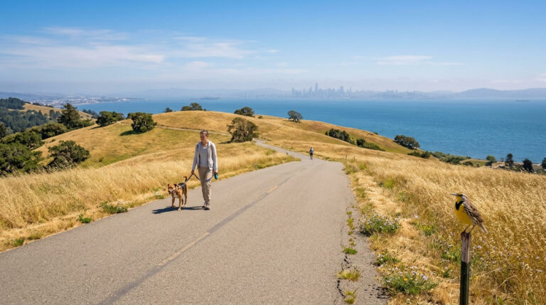
5 Best Urban Hiking Trails in San Francisco, From a Fog-Watching Summit to a Stairway Home to Wild Parrots
When it comes to Urban Hiking Trails in San Francisco, the city packs incredible variety into just 49 square miles: hilltop panoramas, a historic garden stairway, a creek-fed canyon, and forested former military land. This guide covers the city’s inland hills and parks; for the coastline, see our San Francisco coastal trails guide, part of our full San Francisco hiking guide. Twin Peaks is in the middle of a real construction project right now, so read that section’s access details before you head up.
Disclosure: Please note that some of the links below are affiliate links and at no additional cost to you, I may earn a commission. Know that I only recommend hiking gear I personally stand behind; when you use my affiliate links, it helps me run this blog and keep all of this content free of charge for readers (like you).
Key takeaways
- Best complete panorama, mid-renovation right now: Twin Peaks, the city’s most famous 360-degree view, currently affected by an active nine-month construction project.
- Best local alternative, and sunnier than Twin Peaks: Bernal Heights Park, an off-leash neighborhood summit that stays clear when Twin Peaks is fogged in.
- Most unique urban-wildlife encounter: Filbert Street Steps, a garden stairway home to a wild parrot flock made famous by a 2003 documentary.
- Most surprising natural escape: Glen Canyon Park, a creek-fed canyon with rare, free-flowing water inside city limits.
- Best forested history walk: Presidio Ecology Trail, a former U.S. Army post turned National Park Service woodland.
- Fog is the wildcard across this whole guide: Twin Peaks is famously the foggiest single spot on this list, while Bernal Heights, a short drive away, is frequently sunny at the exact same hour.
How these five San Francisco urban trails compare
| Trail | Distance | Difficulty | Fee/Access | Best for |
|---|---|---|---|---|
| Twin Peaks | ~0.5 mi loop (summit) | Easy-moderate | Free (active construction; check access) | Complete city panorama |
| Bernal Heights Park | Short summit loop | Easy | Free | Sunnier alternative, off-leash dogs |
| Filbert Street Steps | ~445 steps (Embarcadero to Coit Tower) | Moderate (stairs) | Free | Wild parrots, garden stairway |
| Glen Canyon Park | Up to 3.7 mi of trails | Easy-moderate | Free | Real creek, urban wilderness |
| Presidio Ecology Trail | Short loop | Easy | Free | Forested military history |
Twin Peaks Trail: a real construction update
Trailhead access and parking at the Twin Peaks Summit Lot
I want to lead with this: as of a recent city update, construction on the Twin Peaks Promenade Project began in early May 2026, with the project area closed for approximately nine months while work continues into 2027.
Confirm current parking and trail access directly with SF Recreation and Parks before you go, since this affects the standard summit-lot access described in most older guides. One unrelated practical note that hasn’t changed: car break-ins are a real, ongoing issue at this parking area, so do not leave anything visible inside your car.
What you’ll see: a 360-degree panorama over the entire city and bay
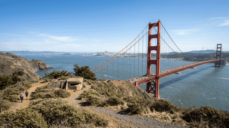
At about 922 feet, Twin Peaks is the city’s second-highest point after Mount Davidson, and its summit delivers a complete panorama, with downtown, the Golden Gate Bridge, the Bay Bridge, and the Pacific all visible in one sweep on a clear day.
The ongoing project is specifically designed to improve this experience long-term: expect new trail segments, restored native habitat, and a car-free promenade once construction wraps up.
Best time to hike Twin Peaks: clear days, since fog frequently obscures the summit
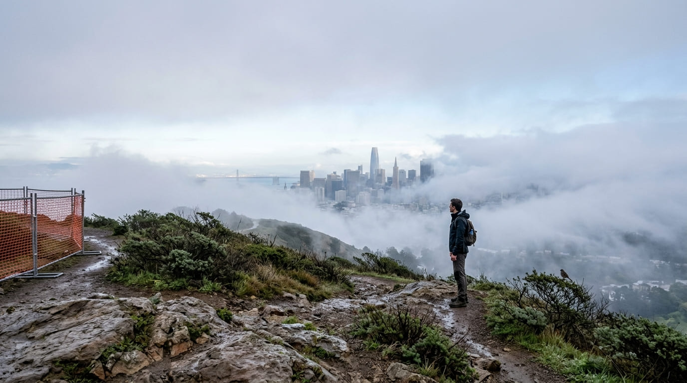
Twin Peaks sits squarely in San Francisco’s characteristic fog belt, and it’s common to reach the summit and see nothing but swirling white; check current conditions rather than assuming a clear day downtown means a clear summit.
Bernal Heights Park Trail
Trailhead access and parking near Bernal Heights Boulevard
Free street parking serves trailheads on Dalewood Way, Juanita Way, and Myra Way, providing access to a different, far less touristed San Francisco hill than Twin Peaks, with no car access to the summit itself.
What you’ll see: a neighborhood summit popular with local dog walkers
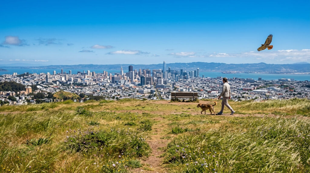
Bernal Heights Park’s grassland summit delivers its own 360-degree view of the Golden Gate Bridge, downtown, San Bruno Mountain, and the East Bay hills, with one real advantage over Twin Peaks: these windswept slopes frequently stay sunny when Twin Peaks is fogged in at the exact same hour.
It’s also an off-leash dog area with a resident coyote and red-tailed hawks riding the wind overhead, giving it a distinctly local, neighborhood character rather than a tourist-destination feel.
Best time to hike Bernal Heights Park: any season (a reliable neighborhood escape)
This trail’s short length and neighborhood-adjacent location make it usable at almost any time of day or year, including on days when fog has ruled out Twin Peaks entirely.
Filbert Street Steps (Telegraph Hill)
Trailhead access and parking near Coit Tower, Telegraph Hill
Free but limited street parking serves the top of the steps near Coit Tower; the bottom starts near Levi’s Plaza on the Embarcadero. The full descent runs roughly 445 steps.
What you’ll see: a historic garden stairway home to a flock of wild parrots
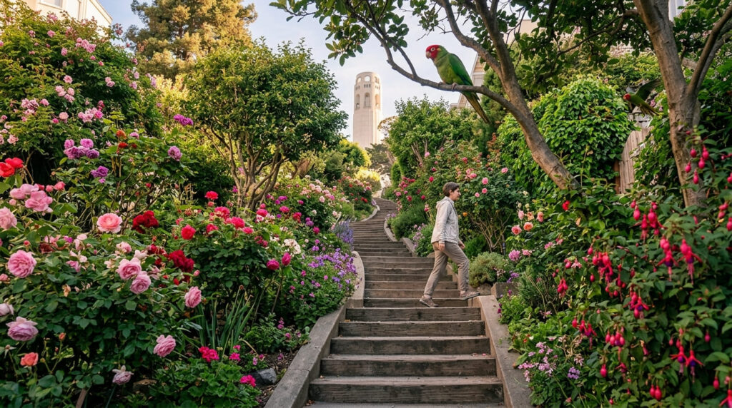
The Grace Marchant Garden, planted starting in the Depression era on what was once a hillside garbage dump, lines much of the stairway with roses, fuchsias, and seasonal blooms tended by local residents. The stairway is also famous for its resident flock of wild parrots, mostly cherry-headed conures descended from escaped or released pet birds starting around 1990 and now numbering in the hundreds.
Their story is the subject of “The Wild Parrots of Telegraph Hill,” a 2003 documentary following Mark Bittner, who began feeding and caring for the flock while living rent-free in a Telegraph Hill cottage; he and the film’s director married after its release.
Best time to hike Filbert Street Steps: morning or early evening for the best chance to hear the parrots
Shortly after sunrise and roughly an hour before sunset are the flock’s most active, vocal windows, when you will typically hear their calls well before you spot them in the trees.
Glen Canyon Park Trail
Trailhead access and parking at Glen Canyon Park
A free city park trailhead near the Glen Park recreation center serves this canyon, which is one of the last natural canyons remaining within San Francisco’s city limits.
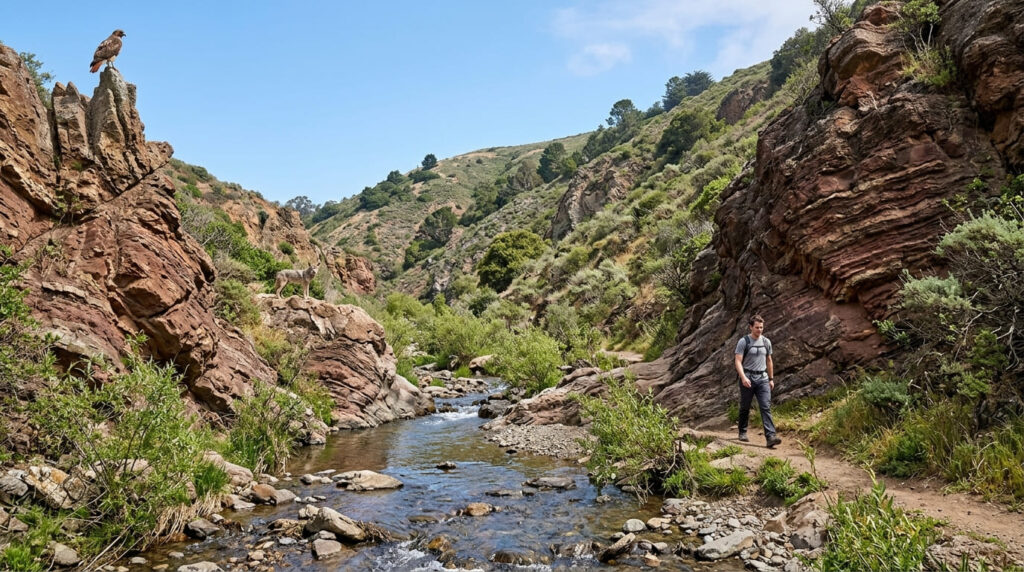
What you’ll see: a urban canyon with a real creek and native vegetation
Islais Creek runs through this canyon as one of only two remaining year-round, free-flowing streams anywhere in San Francisco (the other is the Presidio’s largely inaccessible Lobos Creek), representing a rare piece of daylighted urban hydrology.
Dramatic chert rock formations, native coastal scrub, and streamside willows support real wildlife, including red-tailed hawks and coyotes. The dedicated Creek to Peaks Trail even climbs directly from this canyon up toward Twin Peaks, connecting two of this guide’s own trails on foot.
This canyon also sits within the historical territory of the Yelamu, a local tribelet of the Ohlone people who gathered food and resources here for generations before Spanish colonization.
Best time to hike Glen Canyon Park: any season (a reliable in-city nature escape)
The canyon’s sheltered setting and moderate size make it comfortable and accessible across virtually the entire year, a nature escape that doesn’t require leaving the city at all.
Presidio: Ecology Trail
Trailhead access and parking at the Presidio Visitor Center
A free National Park Service-managed trailhead at the Presidio Visitor Center anchors this trail.
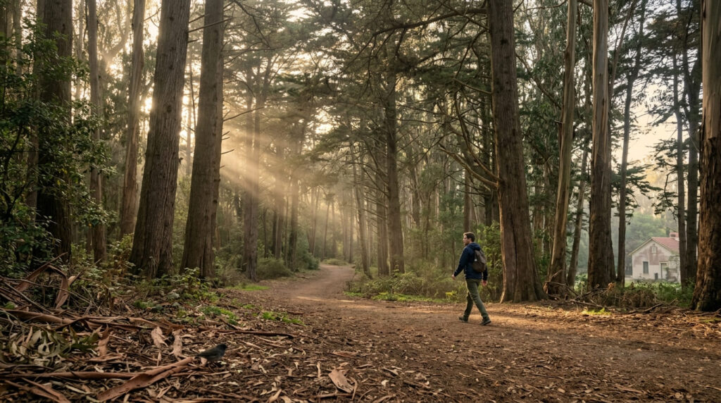
What you’ll see: a historic military post turned forested national park land
The Presidio served as a military post under Spanish, Mexican, and American control for more than two centuries before transferring to the National Park Service in 1994.
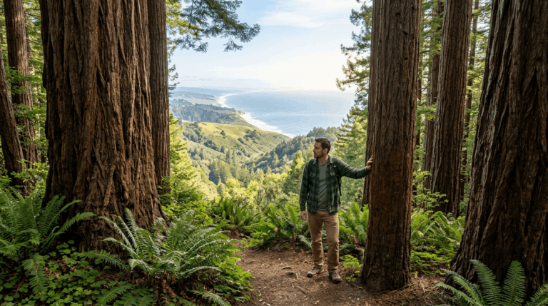
Much of its now-mature forest was deliberately planted starting in the 1880s under an Army reforestation plan, meaning the shaded woodland you’re walking through today is a engineered landscape decades in the making, not leftover wilderness: a fitting, forested close to a post that started at San Francisco’s foggiest, most exposed summit.
Best time to hike the Ecology Trail: any season (a shaded city escape)
Consistent forest canopy makes this comfortable across nearly every season, closing out this guide’s urban trail series on a restful, shaded note.
Frequently asked questions about urban hiking trails in San Francisco
Can you see the Golden Gate Bridge from Twin Peaks?
Yes, on clear days: Twin Peaks’ 360-degree summit view takes in the Golden Gate Bridge along with downtown and the Bay Bridge, though the summit is currently affected by an active construction project through into 2027.
Is Bernal Heights Park off-leash?
Yes: it is a off-leash dog area, popular with local residents and their dogs, with a distinctly neighborhood character rather than a tourist-destination feel.
Are there wild parrots on Telegraph Hill?
Yes: a flock of several hundred wild parrots, mostly cherry-headed conures descended from escaped or released pets, has lived around Telegraph Hill since around 1990, made famous by the 2003 documentary “The Wild Parrots of Telegraph Hill.”
Is Glen Canyon Park a natural canyon?
Yes, it is one of the last natural canyons within San Francisco city limits, with a real year-round creek, native vegetation, and wildlife including coyotes and red-tailed hawks.
Was the Presidio a military base?
Yes: it served as a military post for more than two centuries under three different governments before transferring to the National Park Service in 1994, and much of its forest was deliberately planted by the Army starting in the 1880s.
Which San Francisco urban trail has the best view?
Twin Peaks remains the most complete single panorama when it’s not fogged in or under construction; Bernal Heights Park is the more reliable choice when either of those factors rules Twin Peaks out.