Hiking Trails in Madera County, California: Complete Trail Guide
Madera County sits directly south of Yosemite’s boundary, sharing that same boundary with Mariposa County to the east; Yosemite’s other main gateway and its own Sierra National Forest terrain (Bass Lake, giant sequoias, and a granite dome scramble) give hikers reasons to stop well before crossing into the park itself. Most visitors treat Highway 41 as a straight shot toward Yosemite’s south entrance, missing out on the Hiking Trails in Madera County that are well worth a detour along the way.
Disclosure: Please note that some of the links below are affiliate links and at no additional cost to you, I may earn a commission. Know that I only recommend hiking gear I personally stand behind; when you use my affiliate links, it helps me run this blog and keep all of this content free of charge for readers (like you).
Hiking in Madera County: Sierra foothills to Yosemite’s southern door
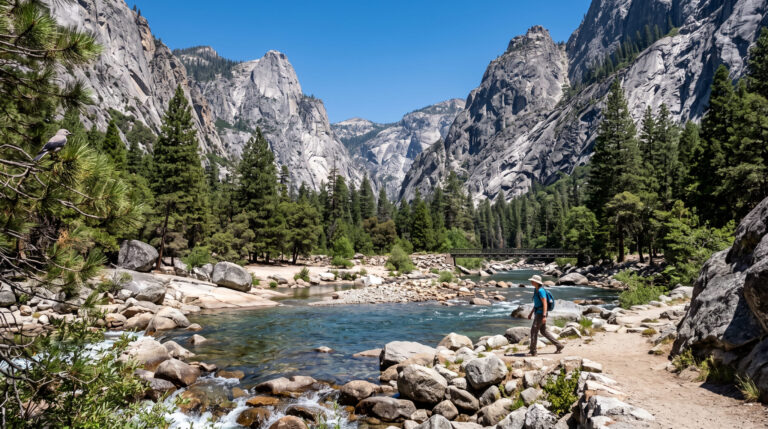
Sierra National Forest covers 1.3 million acres of Madera County terrain, anchored by Bass Lake, the Nelder Grove sequoias, and Fresno Dome, with a minor overlap along Yosemite’s southern boundary.
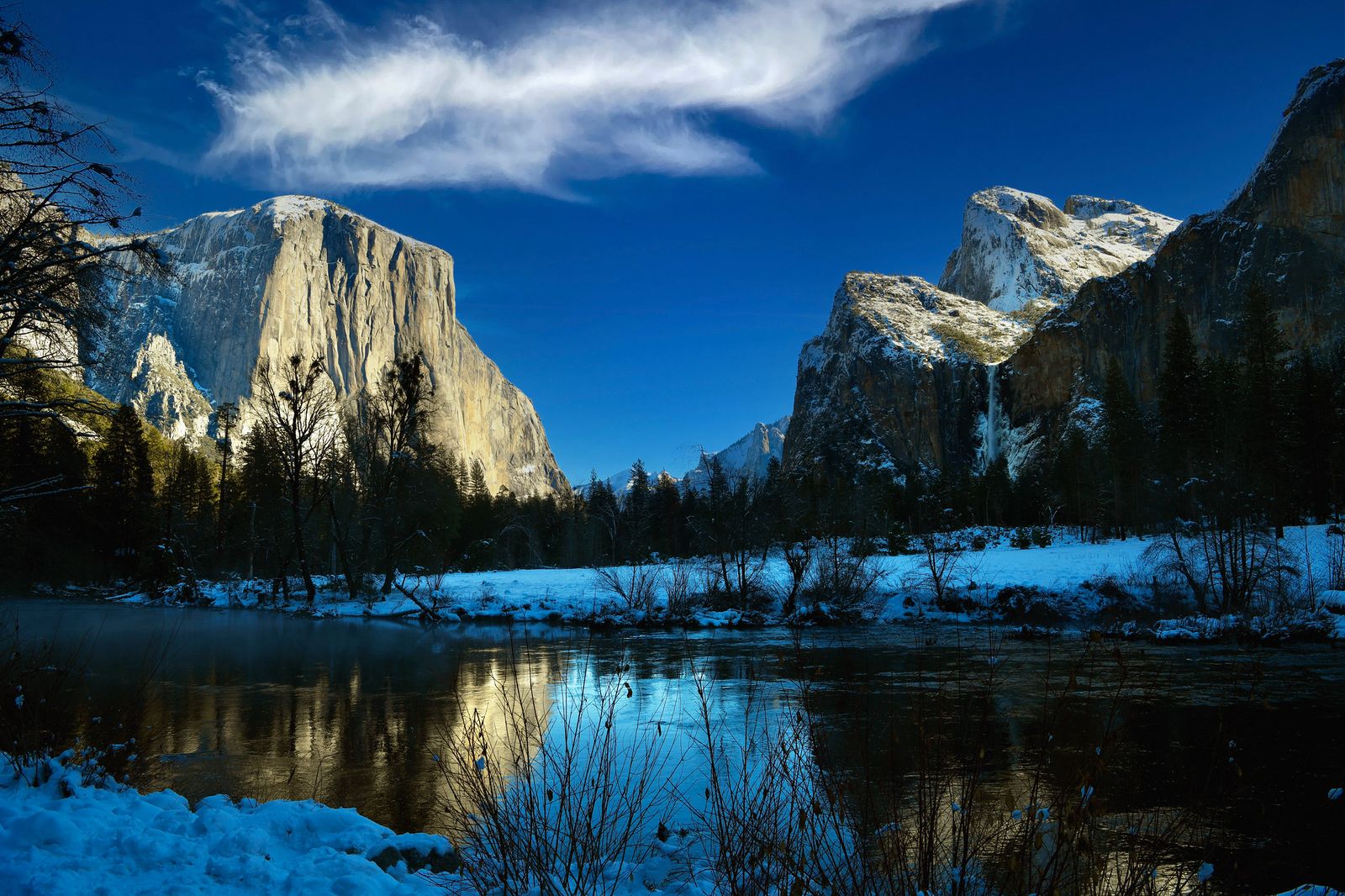
North Fork serves as the practical gateway town for day hikes into this stretch of the Sierra, and Oakhurst, just up Highway 41, is the more commonly used base for visitors heading toward Yosemite’s south entrance.
Foothill wildflower season around Millerton Lake State Recreation Area, at the county’s lower elevation, adds an entirely different early-spring hiking option well before the higher Sierra trails lose their snowpack. That same Sierra National Forest belt continues south into the hiking trails in Fresno County.
Best hiking trails at Bass Lake, Madera County
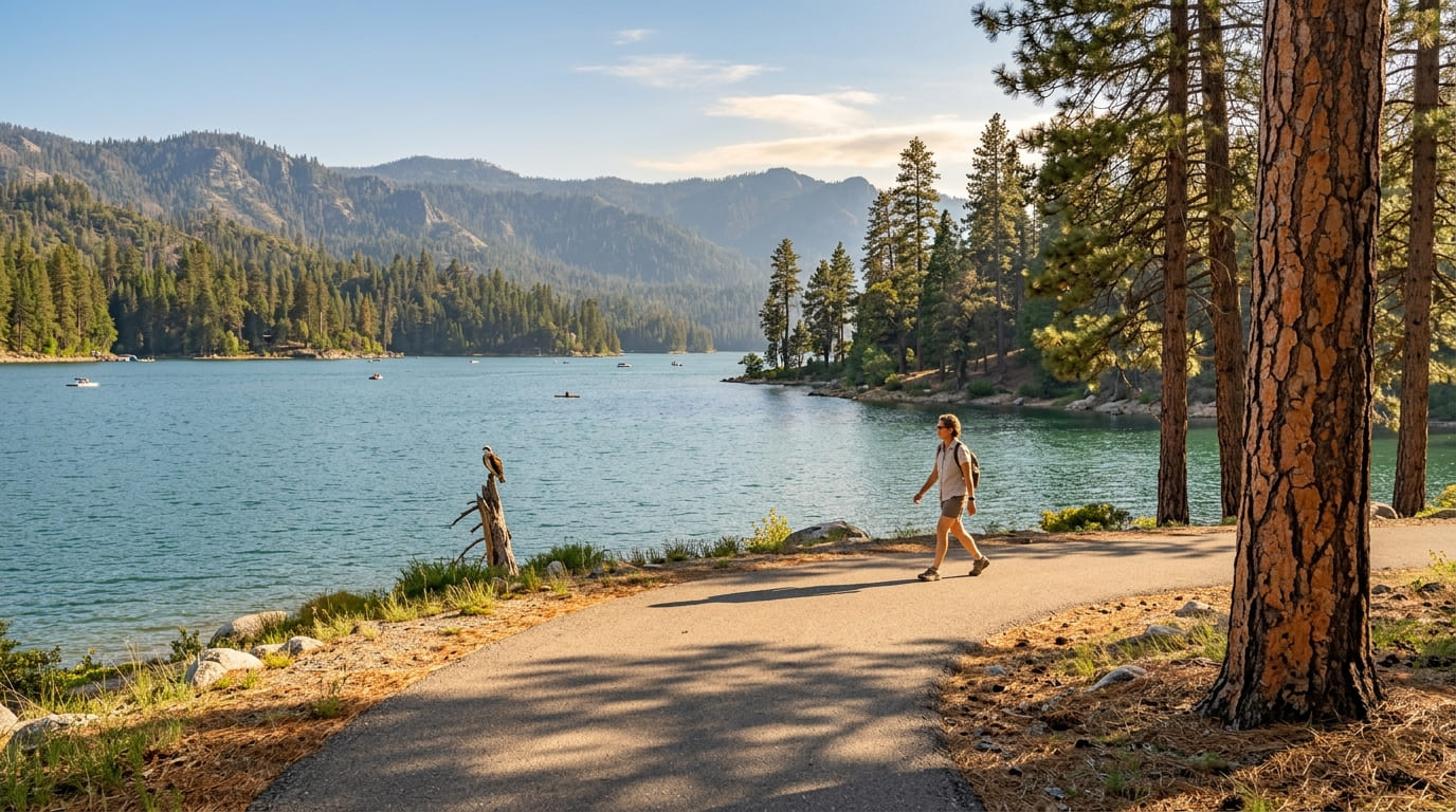
Bass Lake, in the Sierra National Forest’s Pines Village area, combines hiking with warm-water summer swimming and fishing, a rare combination this close to Yosemite, and one that makes it a natural stop for families splitting a trip between hiking and lake time.
Way of the Mono Trail: Madera County’s best easy lake loop
A scenic 0.5-mile loop overlooking the reservoir, offering sweeping lake views from Mono Rock and enough shade in sections to make it comfortable even on a warm day. It’s free for day hiking, best May through October, and parking is available right across from the trailhead on Road 222.
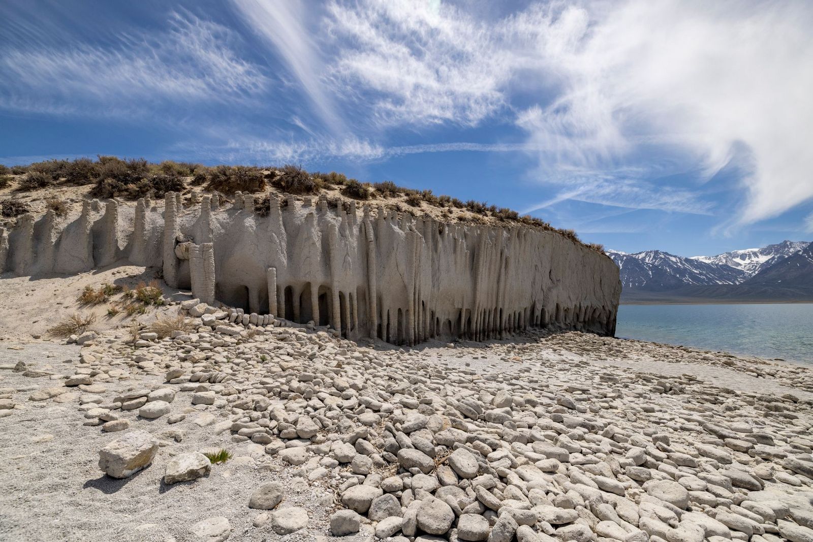
The Pines Loop Trail and the Willow Creek Trail (a 1.3-mile round trip leading up to Angel Falls) both add great alternatives in the same area, useful if you want to explore different terrain around the lake.
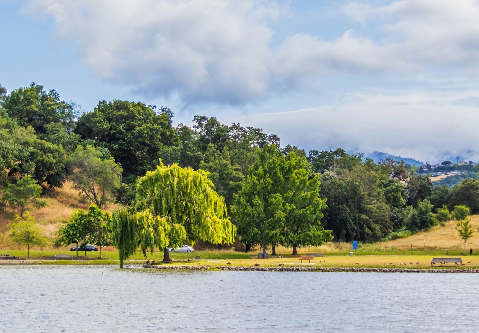
Best hiking trails at Nelder Grove giant sequoias, Madera County
Nelder Grove, on the Sierra/Sequoia National Forest boundary, offers free giant sequoia viewing without Yosemite’s entrance fee. This is valuable, since the grove currently protects around 65 mature sequoias across roughly 1,540 acres- the largest concentration in Sierra National Forest, despite heavy 19th-century logging having removed the majority of the original population.
Bull Buck Tree Loop Trail: Madera County’s best free sequoia hike
The grove’s better-known Shadow of the Giants National Recreation Trail has been closed since the 2017 Railroad Fire, which destroyed its bridges and interpretive panels; current sources describe it as still closed and unlikely to reopen, so don’t plan a visit around it even though it still shows up in a lot of older trail write-ups.
Instead, the short trail to the Bull Buck Tree is the grove’s best current option: a lone, flare-based sequoia standing 246 ft tall with a 99-ft circumference at ground level, among the largest trees outside a national park. An Adventure Pass is required for parking; the access road is dirt and rutted enough to call for a 2WD-capable vehicle only in dry conditions, and no additional fee applies beyond the pass itself.
Best hiking trails at Fresno Dome, Madera County
Fresno Dome Trail: Madera County’s best granite summit scramble
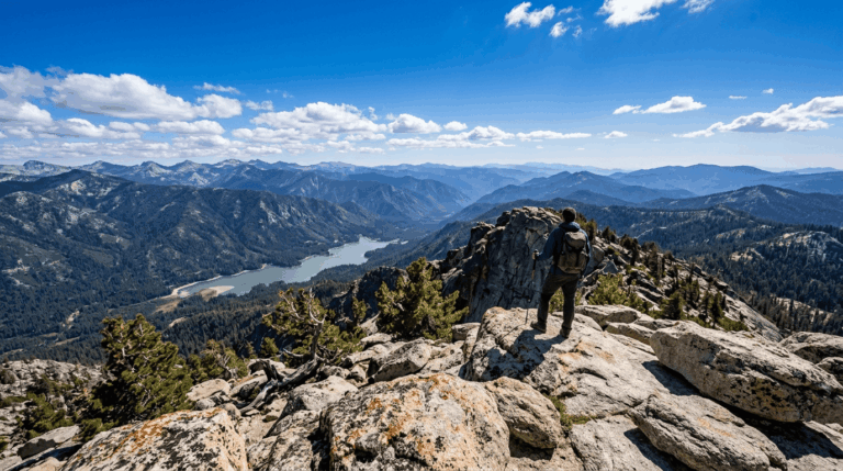
A 1.6-mile round trip from the Fresno Dome Campground trailhead, involving a steep, rocky hike up granite slabs to a 7,544-ft summit with a full 360-degree view over Sierra National Forest and the San Joaquin Valley (on clear days, Yosemite’s peaks are visible to the north, an impressive payoff for such a short hike).
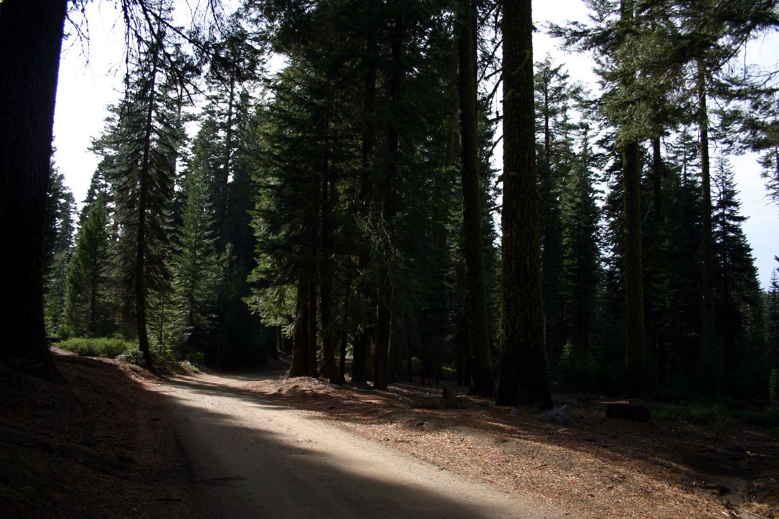
It’s free with an Adventure Pass, best June through October (check our seasonal hazards guide for snow and weather timing), and reached via Highway 41 north of Oakhurst onto narrow forest roads that call for careful, attentive driving rather than a casual pace, especially on blind curves where oncoming traffic has little room to maneuver.
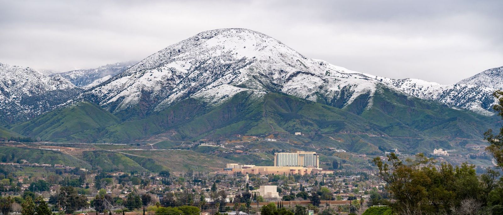
Madera County earns a stop on its own terms, not just as a Yosemite drive-through: Bass Lake’s Way of the Mono Trail, a massive sequoia at Nelder Grove, and Fresno Dome’s short, rewarding summit hike all deliver payoff for relatively little mileage.
Our day hiking planning guide can help you combine these into a single outing. Treat the Fresno Dome scramble with caution despite its short distance, since granite slabs demand more attention than the mileage alone suggests, and check current Nelder Grove trail status before you go given how much closure information online is out of date.
Frequently asked questions about hiking trails in Madera County
What hiking trails are near Bass Lake in Madera County?
The Way of the Mono Trail (0.5 miles, slight incline) is a major draw for sweeping views, with the Willow Creek Trail to Angel Falls offering an excellent alternative in the same area, all free for day hiking with warm-water swimming available in summer and enough variety to fill a full day around the lake without repeating a route.
Can I see giant sequoias for free near Yosemite in Madera County?
Yes, Nelder Grove offers free sequoia viewing with just an Adventure Pass for parking, versus Yosemite’s separate park entrance fee. The grove’s famous Shadow of the Giants trail has been closed since a 2017 wildfire and shows no sign of reopening, so the Bull Buck Tree is currently the better bet for seeing a massive sequoia.
How hard is the Fresno Dome hike near Oakhurst?
Short but demanding for its length: a 1.6-mile round trip where the final approach is a steep, rocky granite climb that requires attention and sturdy footwear, not a casual stroll, especially if the rock is at all damp.
What is the best hiking near Oakhurst, California?
Fresno Dome for the best view-to-effort ratio, and Nelder Grove’s Bull Buck Tree for giant sequoia scenery, both reachable via Highway 41 north of town and doable as a combined half-day outing.
Are there hiking trails near the Yosemite south entrance in Madera County?
Madera County’s Sierra National Forest trails sit just south of Yosemite’s boundary, making them a practical add-on or alternative for visitors approaching the park from the south, though the trails themselves are managed separately from anything inside Yosemite proper.
Can I swim at Bass Lake while hiking in Madera County?
Yes, Bass Lake’s water runs warm by California mountain lake standards through summer, making it one of the more swim-friendly hike-and-cool-off combinations in the southern Sierra, and a draw for families hiking with kids.