Hiking Trails in Merced County, California: Complete Trail Guide
Merced County is flat Central Valley farmland for most of its footprint, but it holds two separate national wildlife refuge units, a wild stretch of the Merced River below Yosemite, and a pleasant 12-mile urban parkway running straight through Merced itself.
Disclosure: Please note that some of the links below are affiliate links and at no additional cost to you, I may earn a commission. Know that I only recommend hiking gear I personally stand behind; when you use my affiliate links, it helps me run this blog and keep all of this content free of charge for readers (like you).
I’ve spent four-plus years cataloging trails across this state, and Merced County is exactly the kind of place most people associate with agriculture rather than hiking, right up until they see sandhill cranes staging by the thousands a short drive from town, at a scale that surprises first-time visitors. This guide covers all three of these destinations to help you find the best Hiking Trails in Merced County.
Key takeaways:
- Merced County holds two distinct national wildlife refuge units (San Luis NWR near Los Banos and Merced NWR much closer to Merced city itself), both free to visit.
- Merced NWR specifically is known for large sandhill crane and Ross’ goose populations, with peak viewing September through March.
- The Merced River corridor below Briceburg offers seasonal wildflower walking, with no formal trail: expect use paths and river cobble rather than a maintained route.
- Bear Creek Parkway, a 12-mile paved trail through Merced, connects UC Merced to downtown along a bird-rich riparian corridor (free, flat, and open year-round).
- November through February is peak wildlife-viewing season across the county’s refuge units; spring is better for river wildflowers.
Hiking in Merced County: Central Valley wildlife and foothill trails
Merced County is a flat Central Valley agricultural county, but it holds nature access at the San Luis National Wildlife Refuge Complex, the Merced River corridor below Yosemite (Class III–IV rafting water with some adjacent trail access), and Bear Creek Parkway, an urban greenway running through Merced itself.
None of these require a long detour if you’re already passing through the county on Highway 99 or on the way to Yosemite from the west, which makes them easy additions to a longer trip rather than standalone destinations most people would drive out specifically to see. That same Central Valley river network continues north into the hiking trails in Stanislaus County.
Best nature trails at San Luis National Wildlife Refuge, Merced County
The San Luis NWR Complex actually spans two distinct units worth knowing separately. San Luis NWR itself, near Los Banos off Highway 165, covers more than 26,800 acres and is known for its tule elk herd alongside major waterfowl concentrations. The refuge complex sits close enough to Madera County that the two are often combined into a single Central Valley wildlife trip.
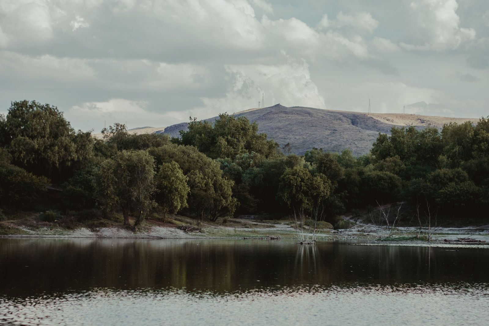
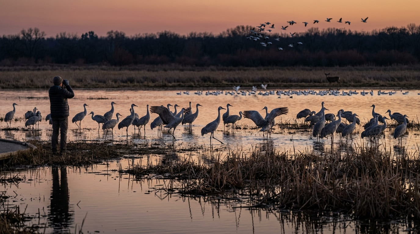
Merced NWR, on Sandy Mush Road about 20 miles from Merced city, covers 10,258 acres and hosts some of the largest sandhill crane and Ross’ goose populations on the entire Pacific Flyway, making it the closer, more locally relevant option if you’re based in Merced itself. Both units are free to visit, with auto tour routes and nature trails open daily, roughly a half hour before sunrise to a half hour after sunset.
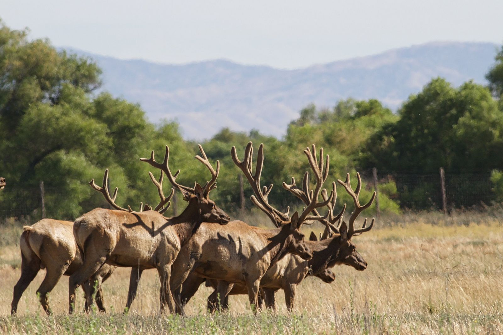
Waterfowl Tour Trail: Merced County’s best wildlife birdwatching walk
At Merced NWR specifically, a 5-mile auto tour circles the refuge’s core wetlands with four viewpoints and two observation decks, connecting to three designated hiking trails you can walk on foot rather than from a vehicle.
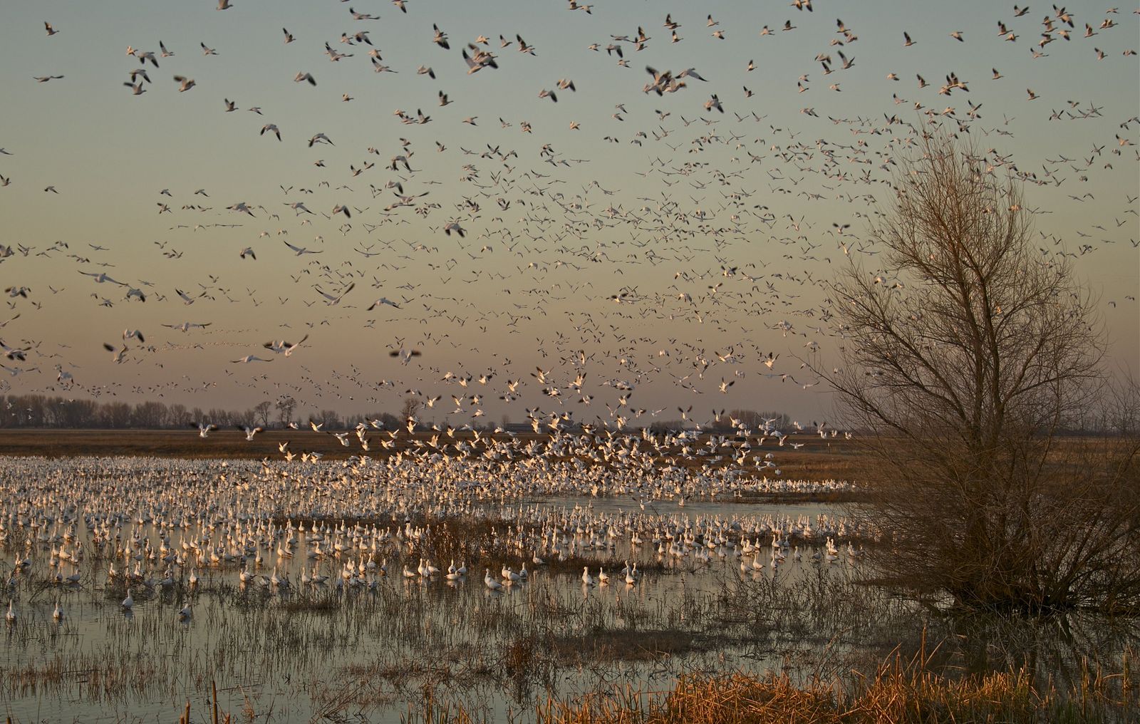
Each fall, as many as 20,000 sandhill cranes and 60,000 arctic-nesting geese arrive to winter here, making September through March the clear peak season. Bring binoculars regardless of when you visit, since black-tailed deer and a wide range of raptors are also common sightings even outside peak migration.
Best hiking trails along the Merced River, Merced County
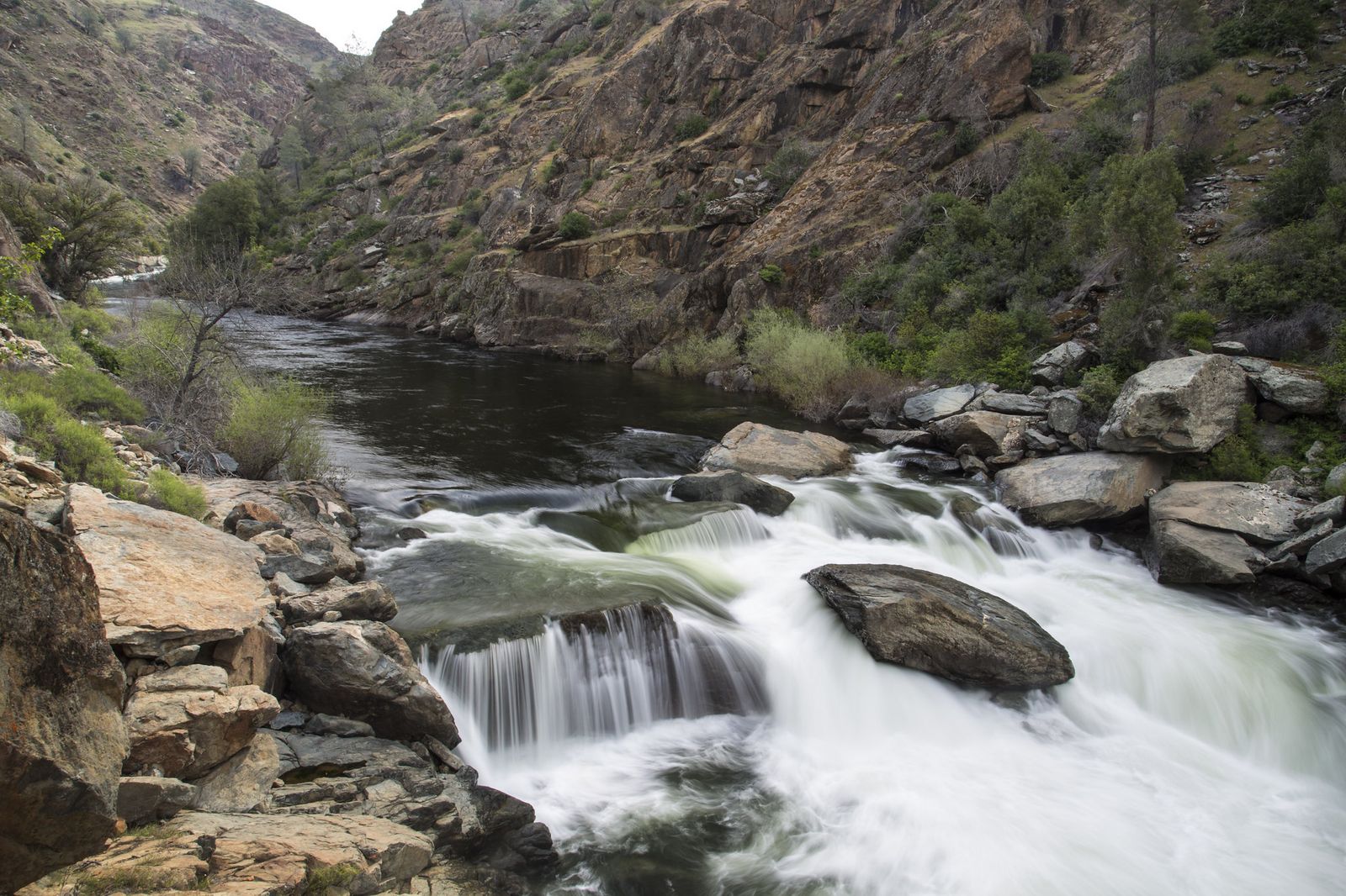
Below Yosemite, the Merced River drops into Class III–IV whitewater through a BLM-managed canyon corridor running from Briceburg toward Lake McClure, with primitive access via Highway 140 and Briceburg River Road, a different landscape from either the flat valley wetlands or the urban parkway elsewhere in the county.
Merced River foothill trail: Merced County’s best wildflower canyon walk
There’s no single formal trail here (expect river cobble and informal use paths along the bank rather than a maintained route), but the seasonal wildflower payoff is real: western redbud blooms February through March, followed by fragrant white California buckeye clusters in April, both set against oak woodland and riparian terrain typical of the Sierra foothills.
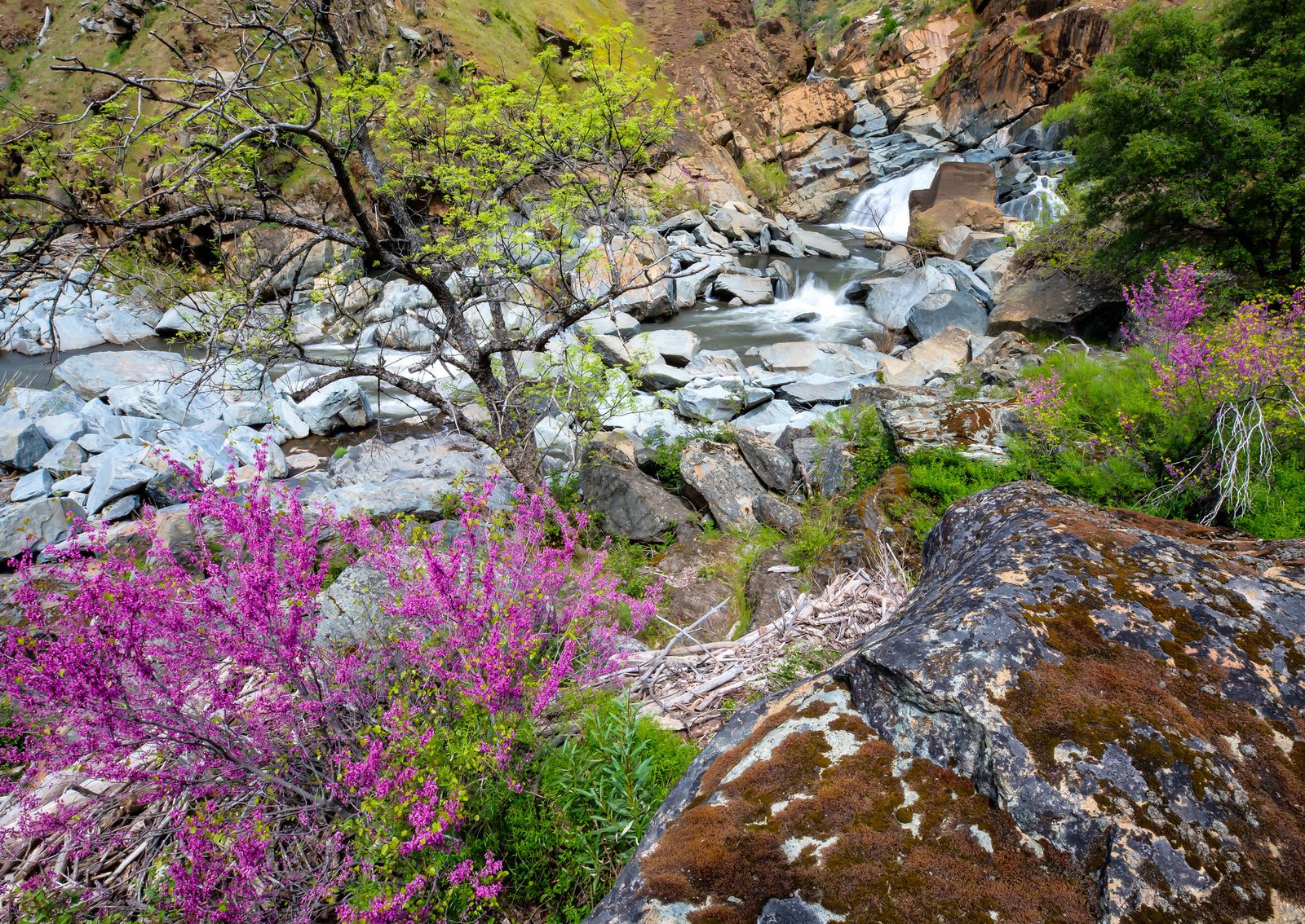
Access is free through the BLM with no permit required. Best hiked February through May, before summer heat and rattlesnake season make the exposed riverbank terrain considerably less appealing, and before the whitewater rafting traffic picks up in earnest.
Bear Creek Parkway: Merced City’s best urban nature trail
This 12-mile paved multiuse trail follows Bear Creek’s riparian corridor from UC Merced through downtown Merced, connecting several city parks along the way. It is flat, free, and open year-round with no reservation required.
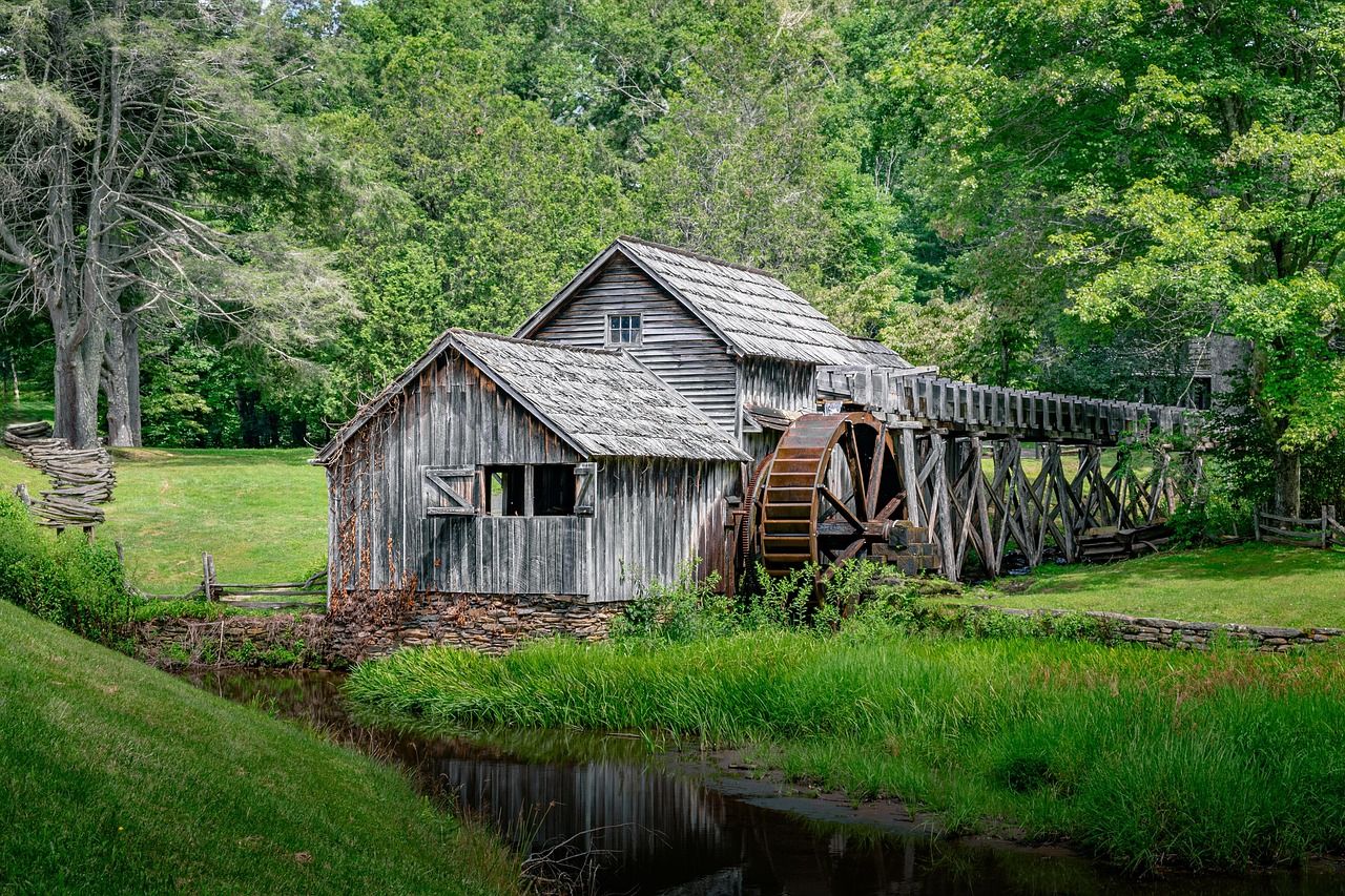
Bear Creek Parkway loop: Merced’s best easy urban nature walk
The trail’s central section, roughly 4 miles round-trip, runs through cottonwood and willow riparian canopy that supports a great blue heron rookery, along with kingfishers and egrets, a surprisingly rich stretch of bird habitat for a trail running straight through a mid-sized Central Valley city where you might not expect much wildlife at all.
It connects to several local city parks such as Applegate Park, and dogs are welcome on leash along the full parkway, making it a useful daily-walk option for Merced residents rather than just an occasional destination.
If you’re building broader hiking skills, our beginner’s guide to hiking trails is a solid starting point, and our Leave No Trace guide is worth reviewing before a wildlife refuge visit, given how easily foot traffic can disturb ground-nesting birds in these habitats.
Frequently asked questions: hiking trails in Merced County
Is there hiking or nature trails in Merced County, California?
Yes, San Luis and Merced National Wildlife Refuges, the Merced River corridor below Yosemite, and Bear Creek Parkway in Merced city all offer trails, despite the county’s reputation as flat agricultural land.
What is San Luis National Wildlife Refuge and can I walk there?
It’s a wildlife refuge complex spanning more than 26,800 acres near Los Banos, known for tule elk and major waterfowl concentrations, with free auto tour routes and nature trails open to walkers daily.
When is the best time to visit San Luis NWR for wildlife viewing?
September through March, when sandhill cranes and wintering waterfowl numbers peak: Merced NWR specifically sees as many as 20,000 cranes and 60,000 geese arrive each fall.
Are there hiking trails along the Merced River below Yosemite?
Informally, yes: there’s no single maintained trail, but BLM-managed riverbank access near Briceburg offers wildflower walking, best February through May before rattlesnake season and summer heat set in.
What nature walks are available near UC Merced?
Bear Creek Parkway is the primary option, a 12-mile paved trail running from UC Merced through downtown Merced along a bird-rich riparian corridor.
Can I see sandhill cranes or tule elk near Merced, California?
Yes, Merced NWR is one of the best sandhill crane viewing sites on the Pacific Flyway each fall and winter, and San Luis NWR near Los Banos hosts a resident tule elk herd visible from its auto tour route.